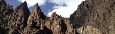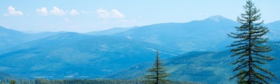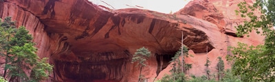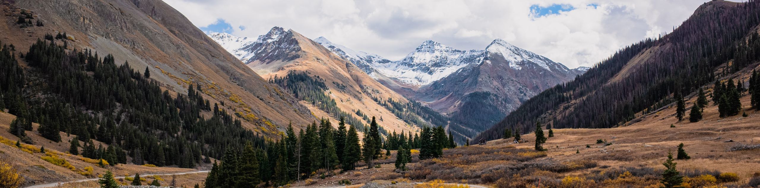
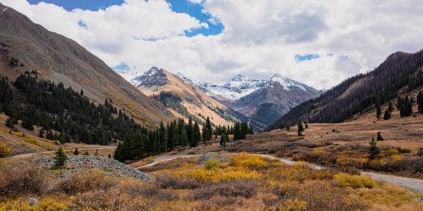
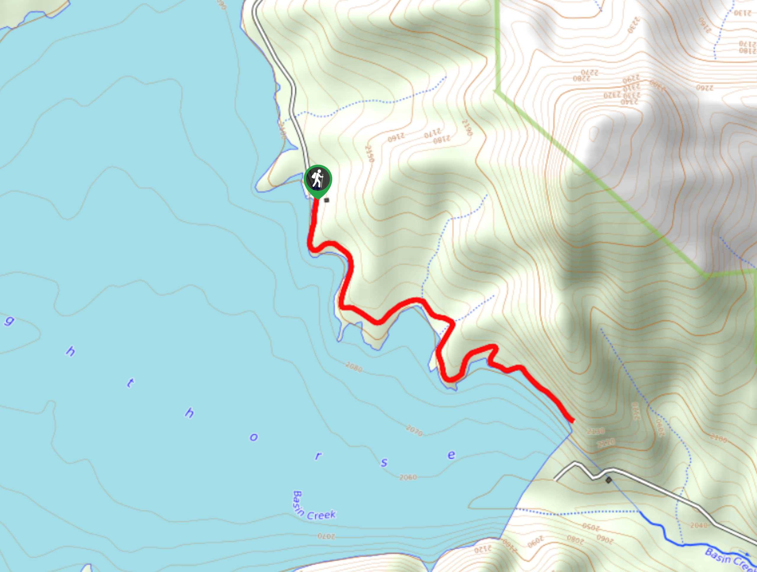
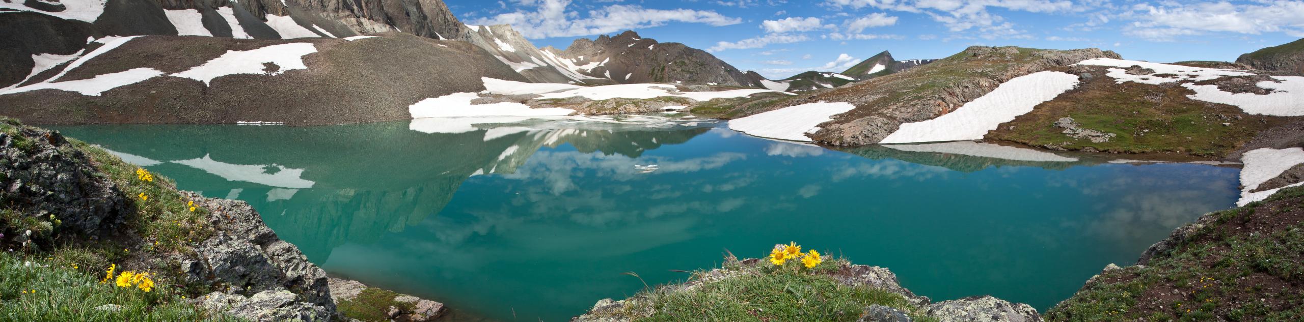
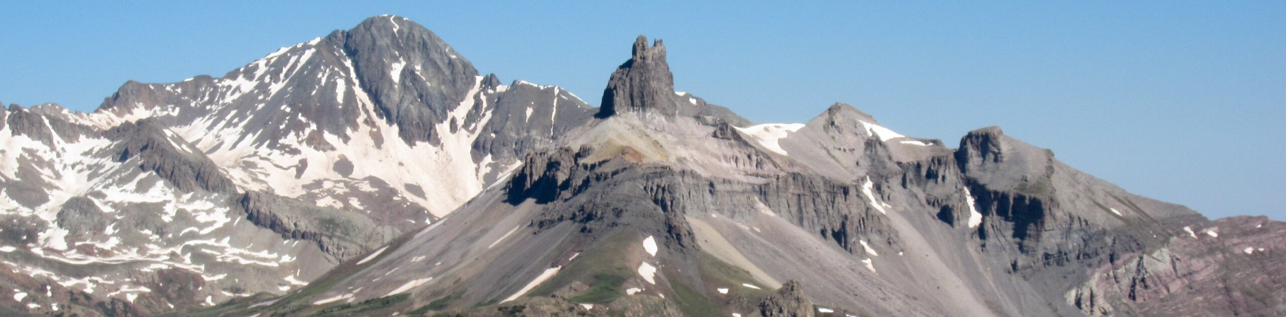
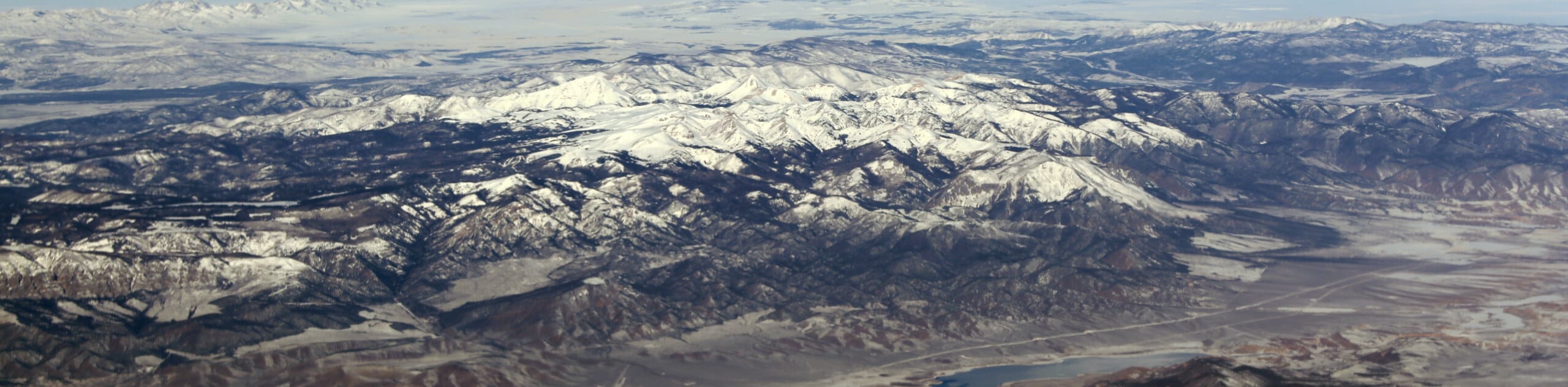
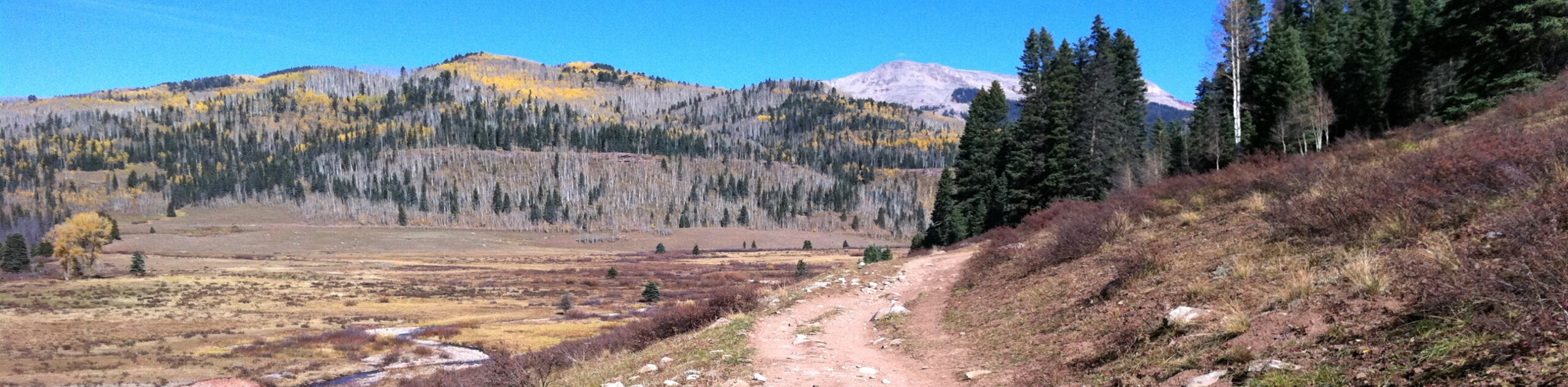
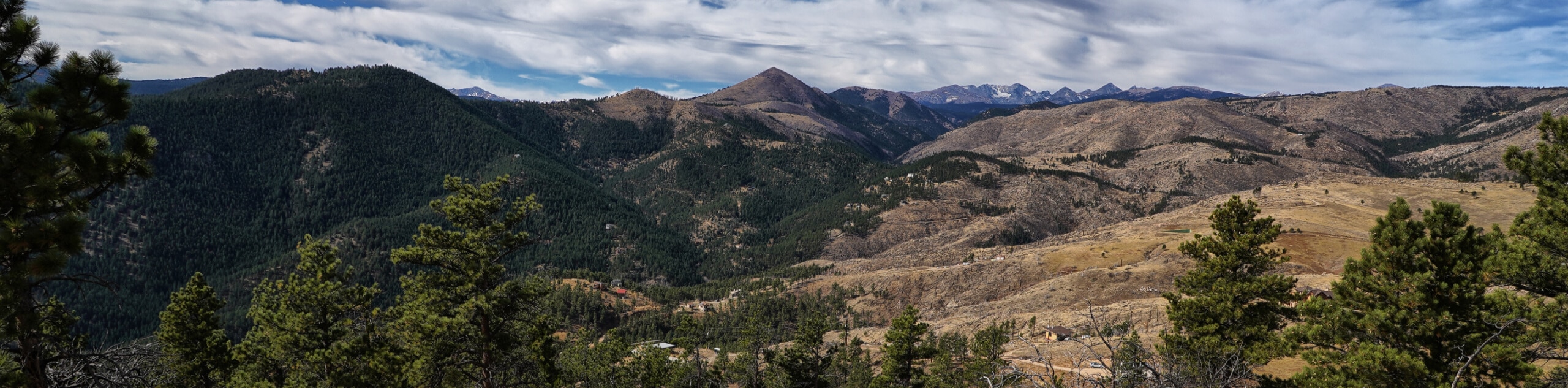
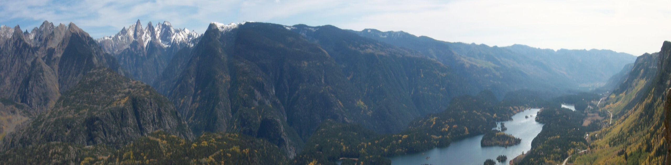
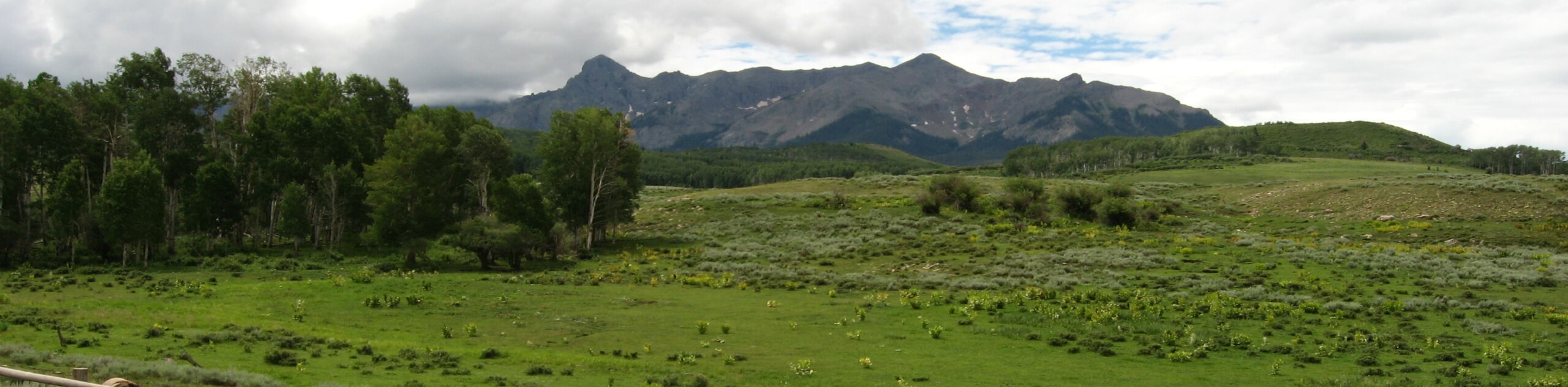
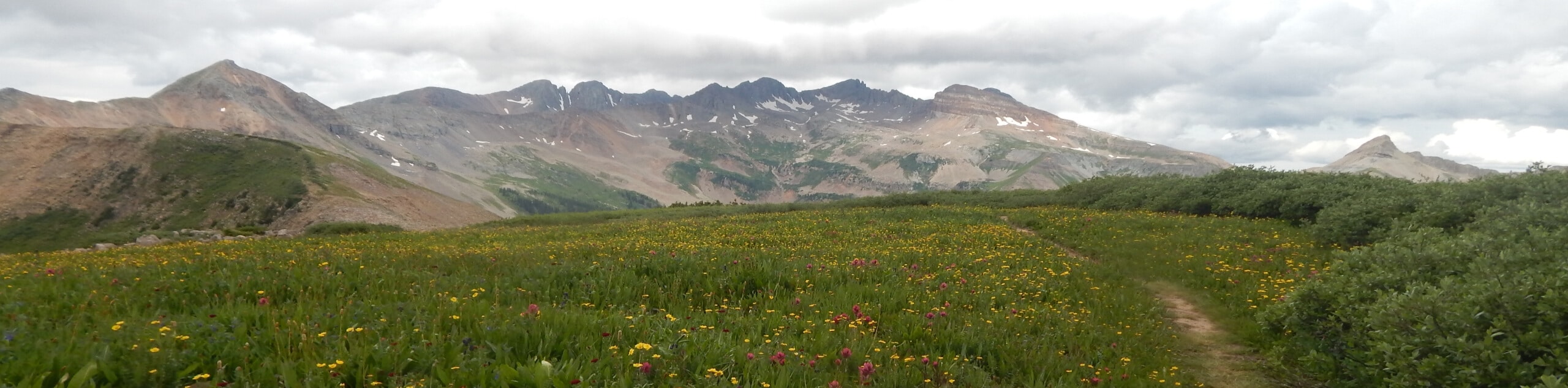
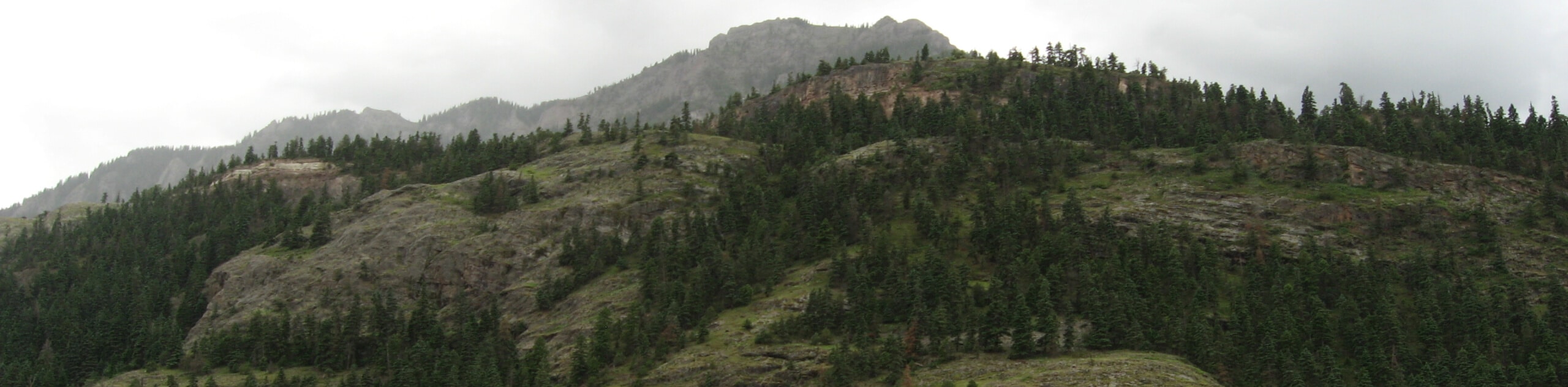
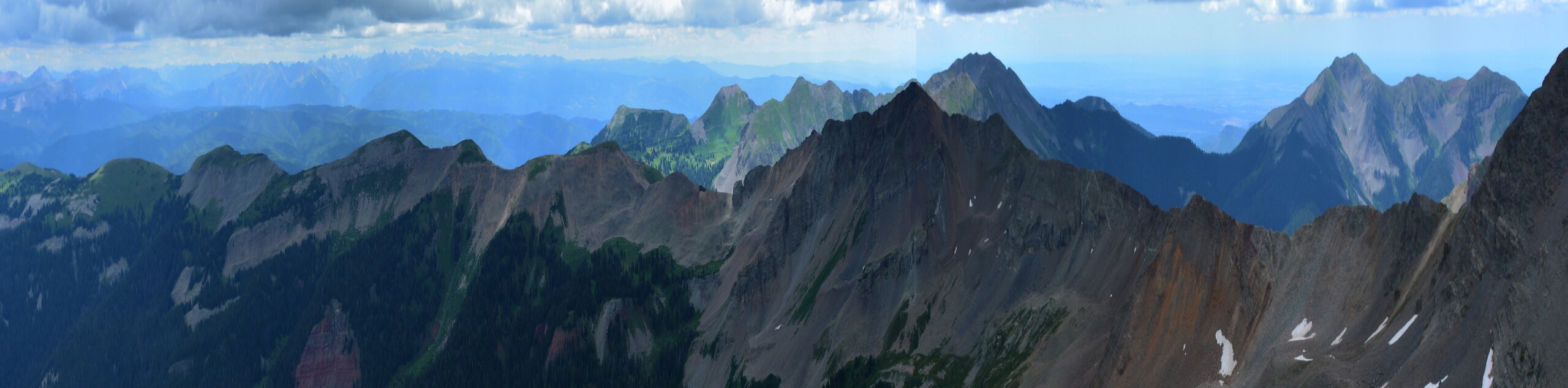
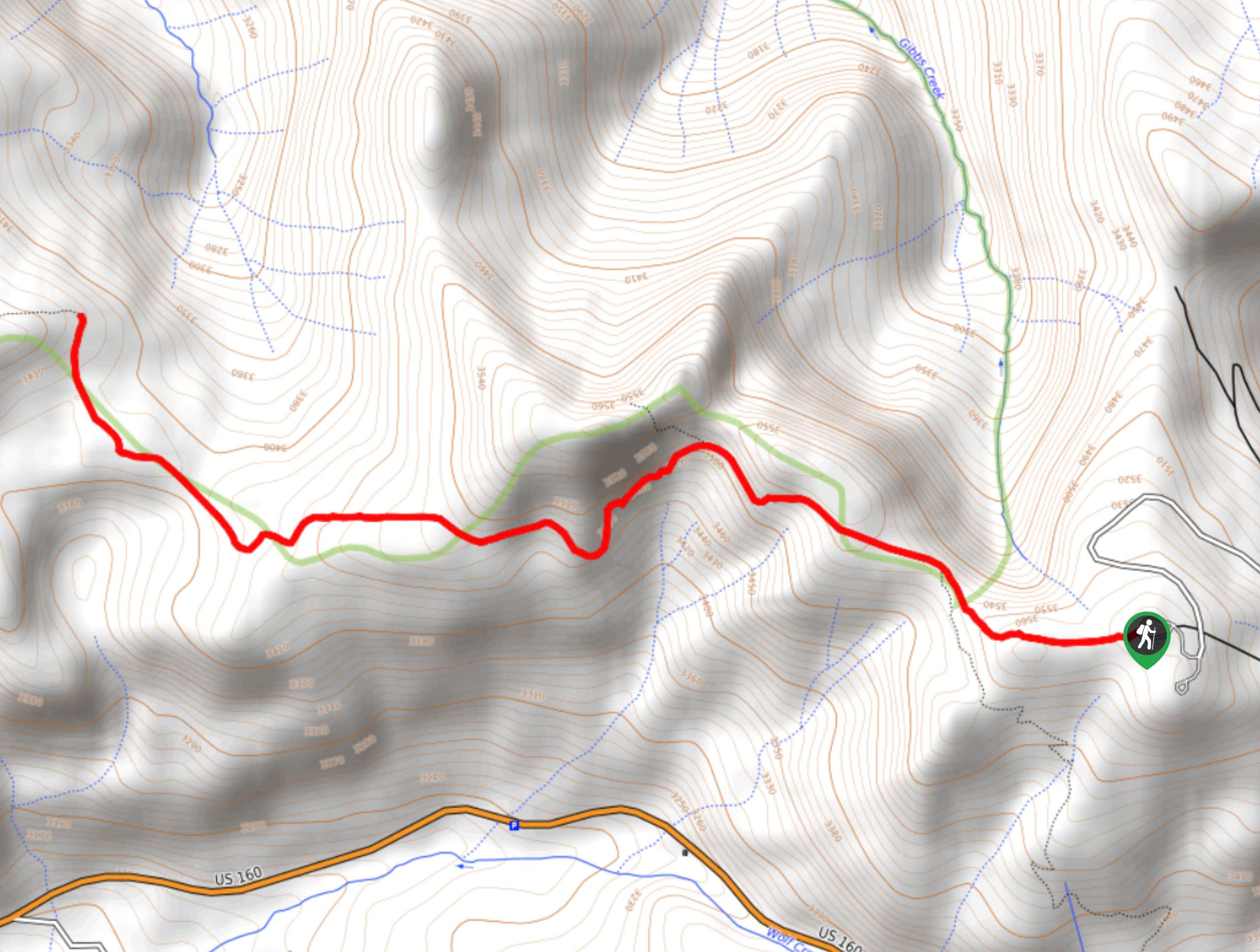
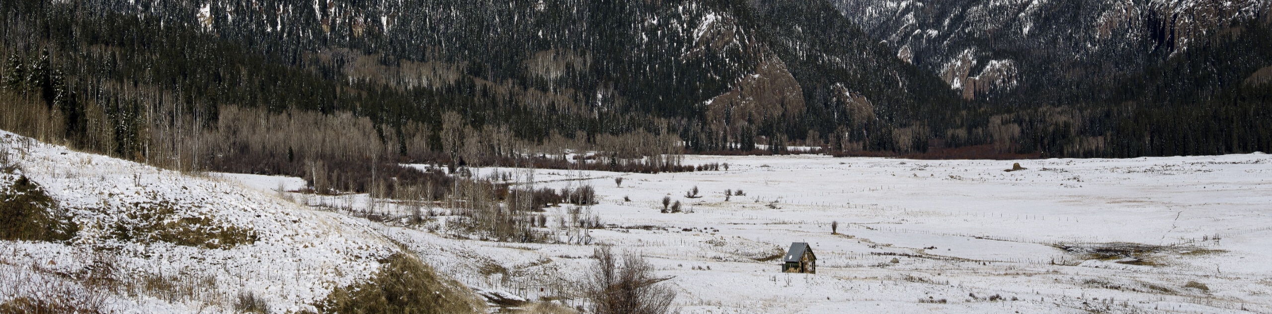
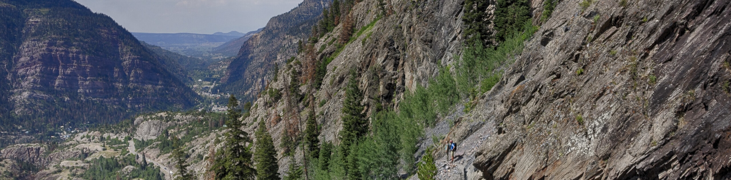
hikes in San Juan Mountain Range
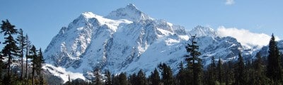
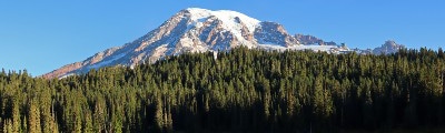
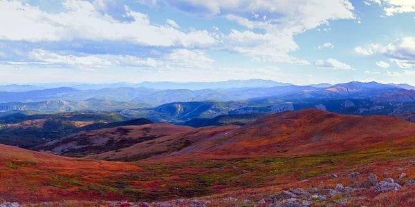
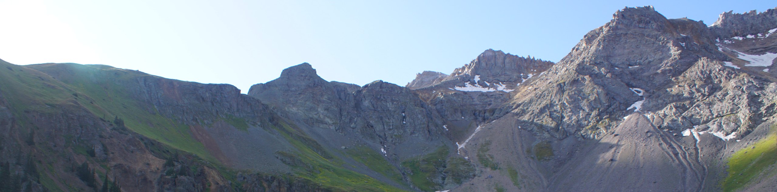
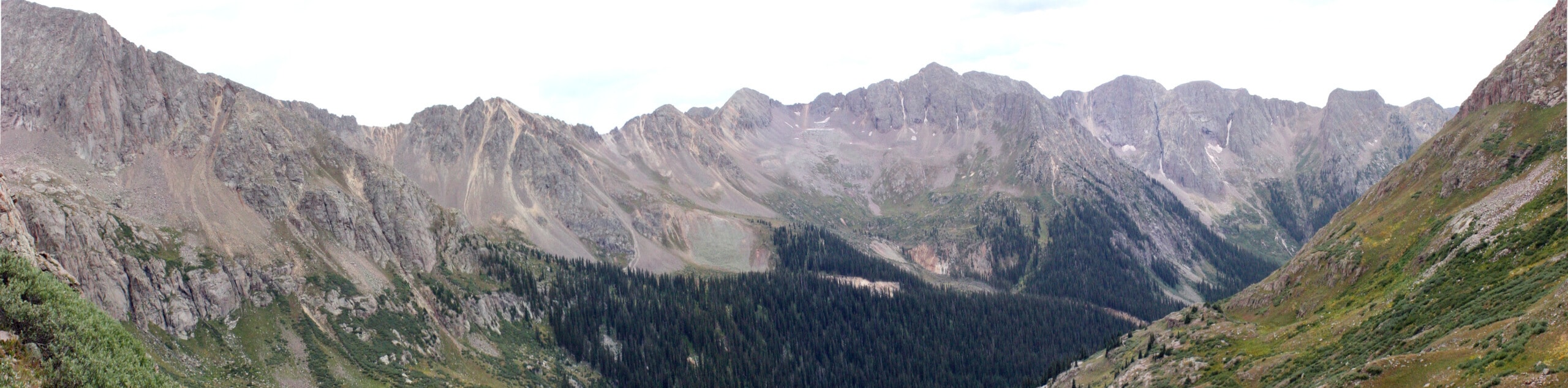
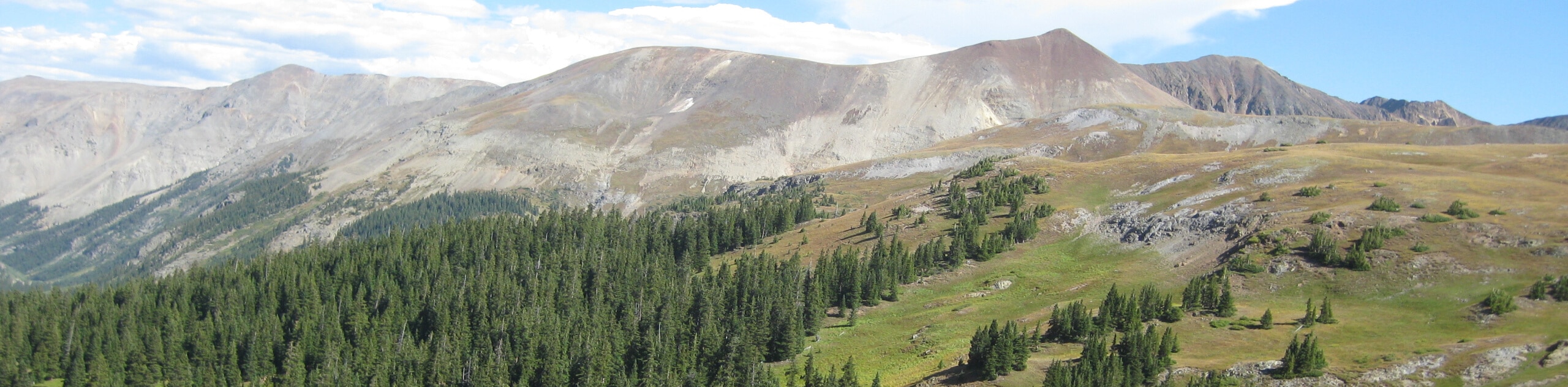
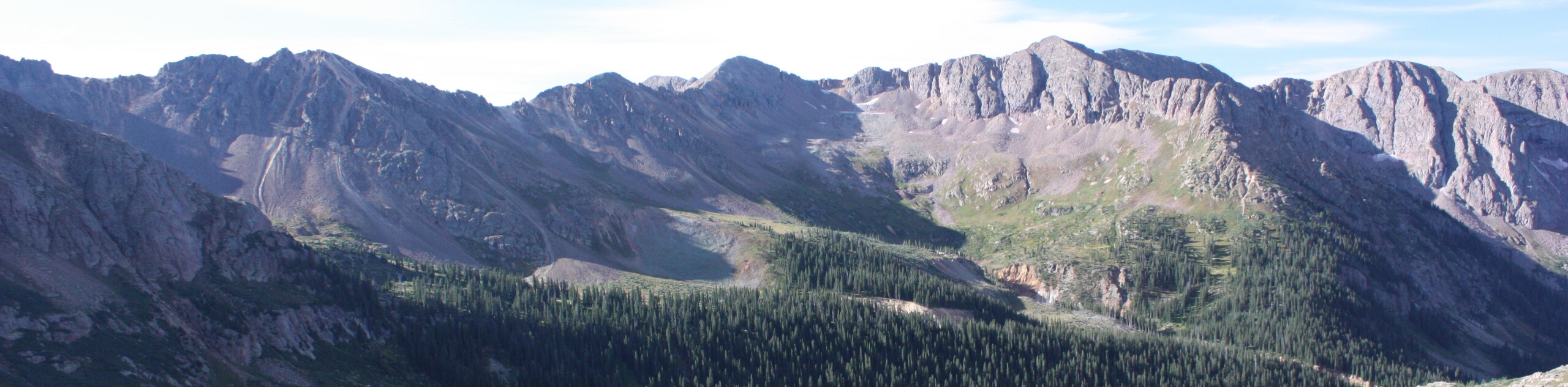
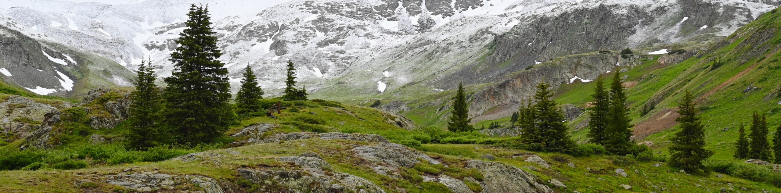
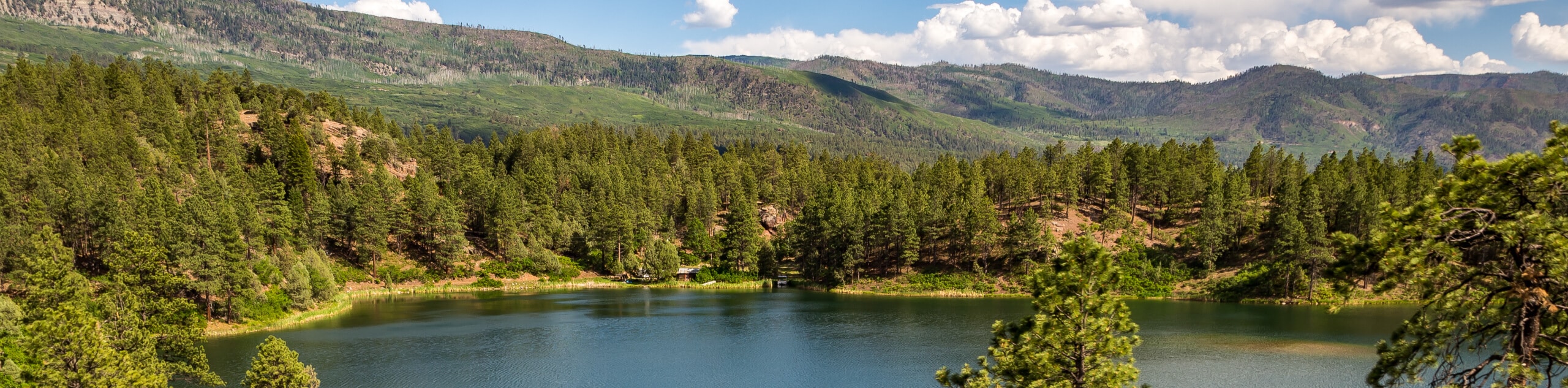
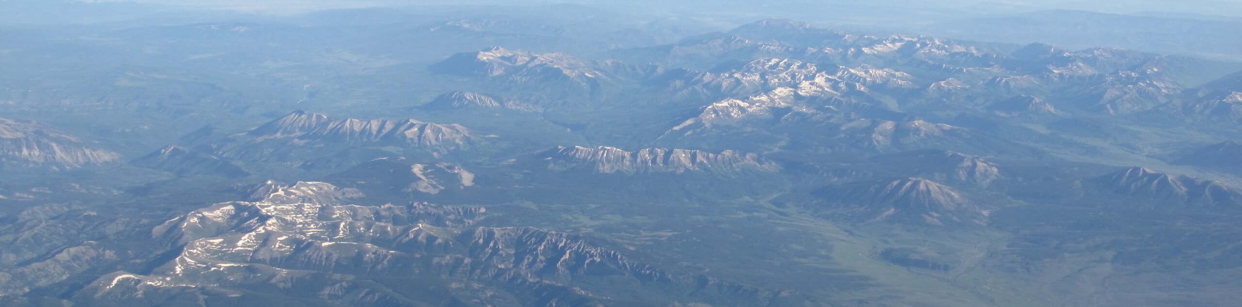
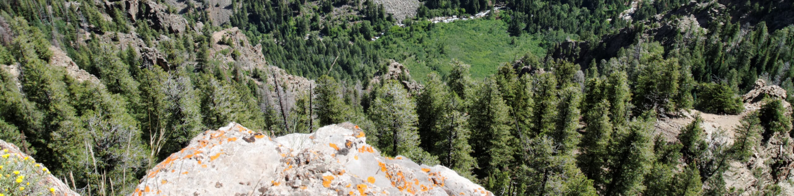
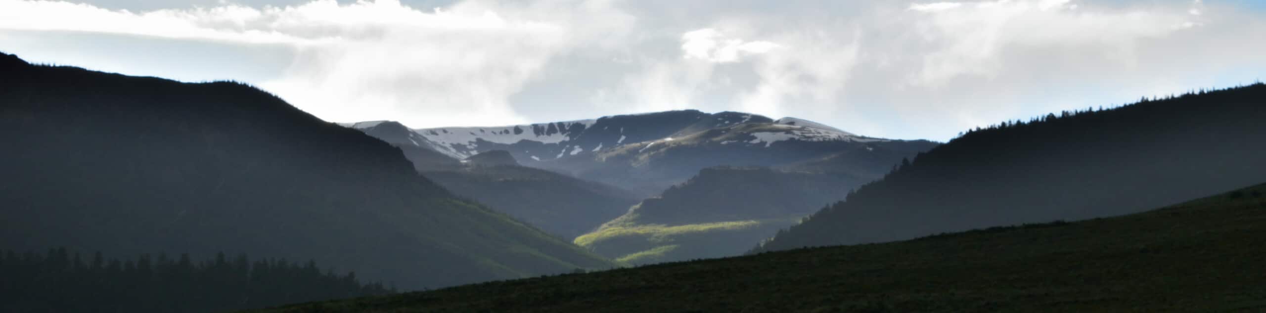
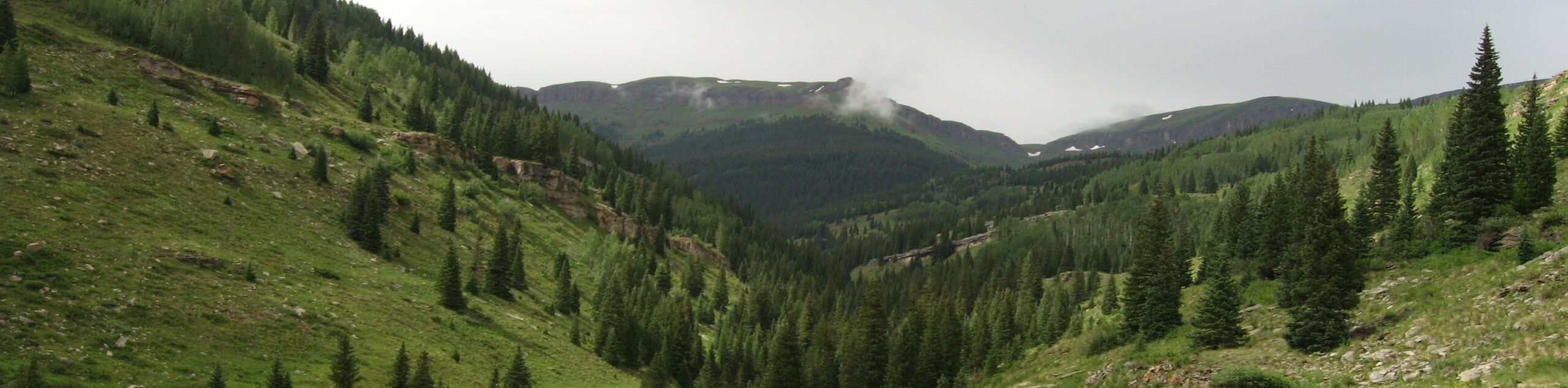
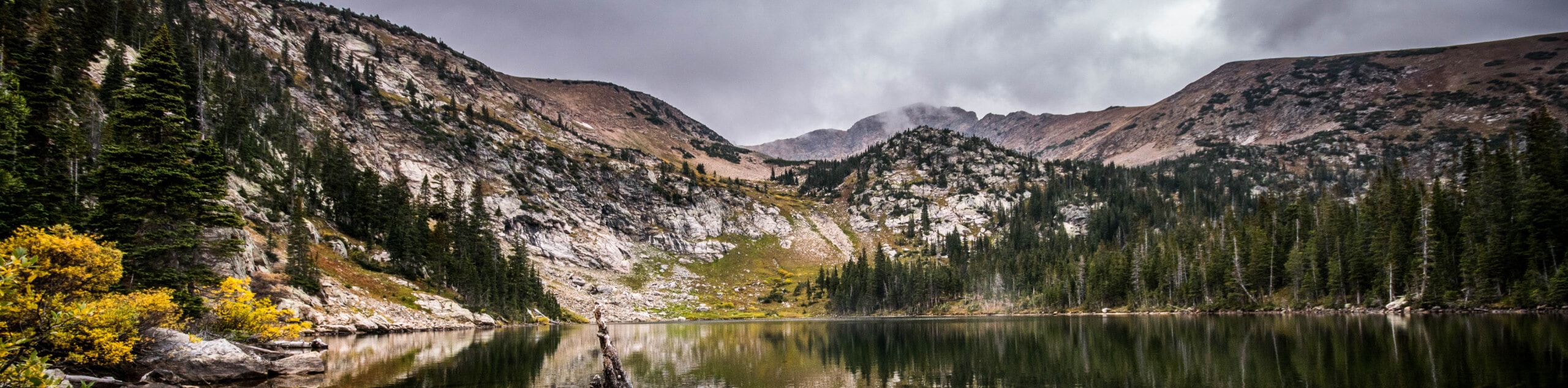
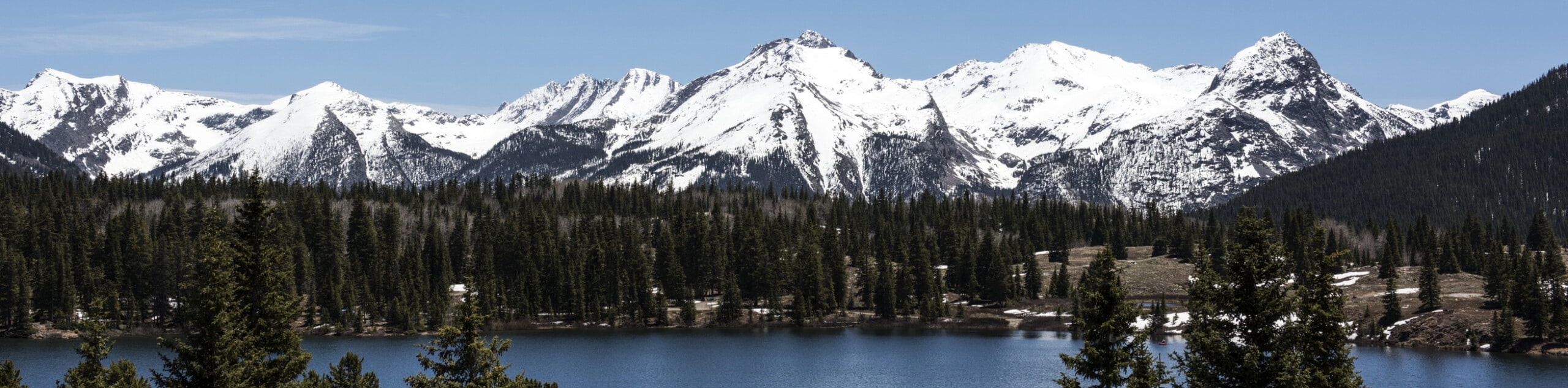
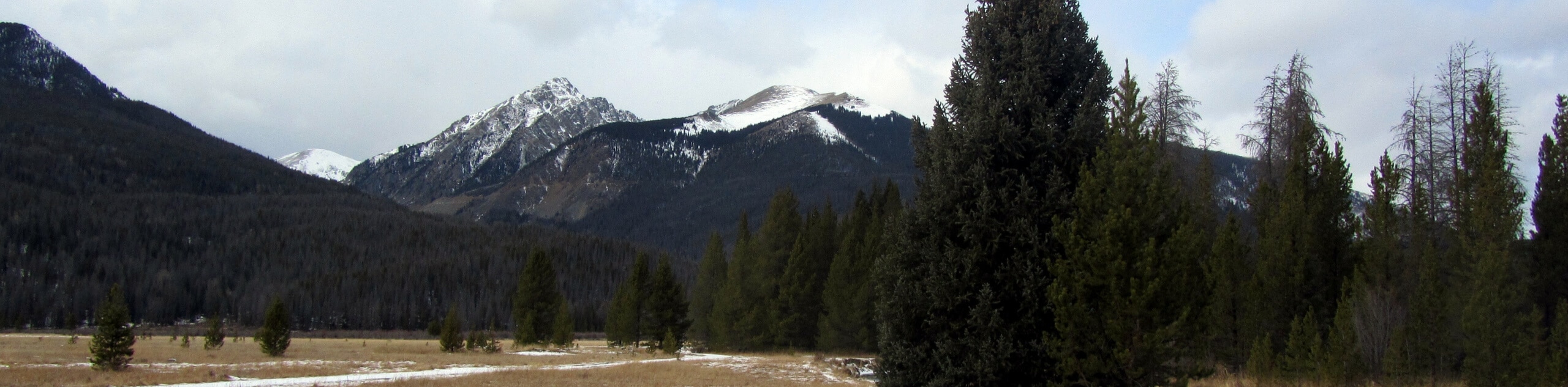
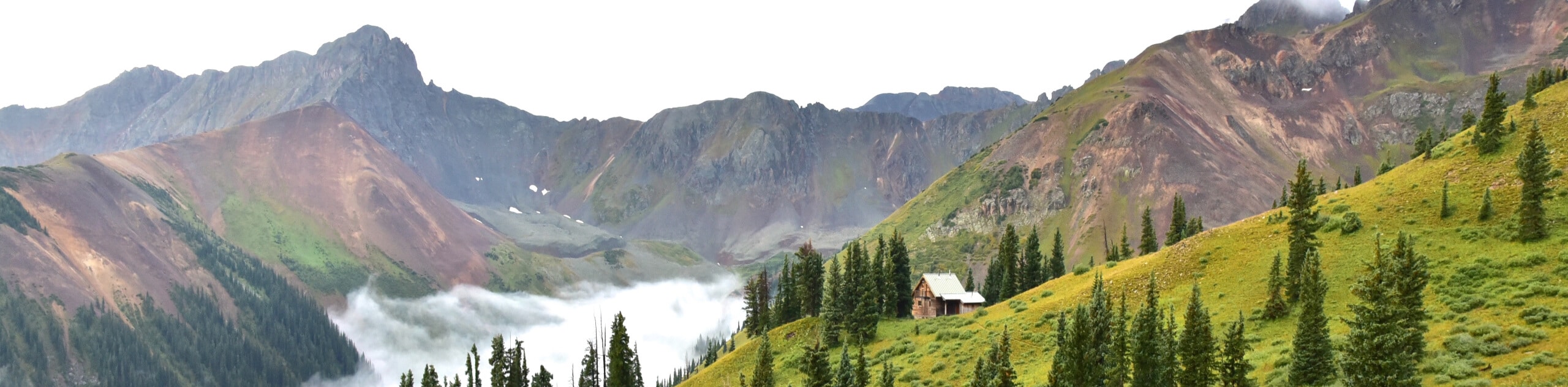
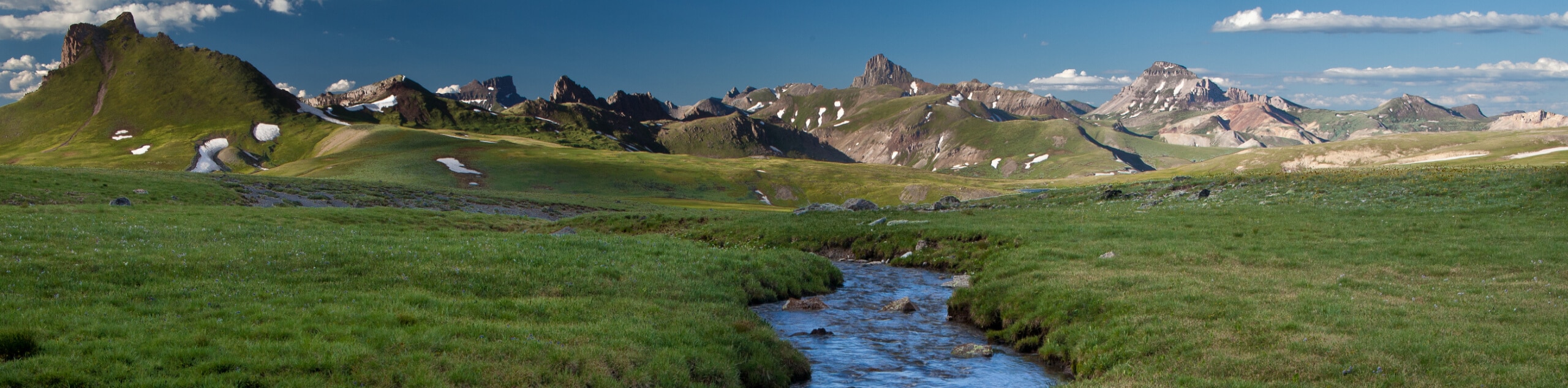
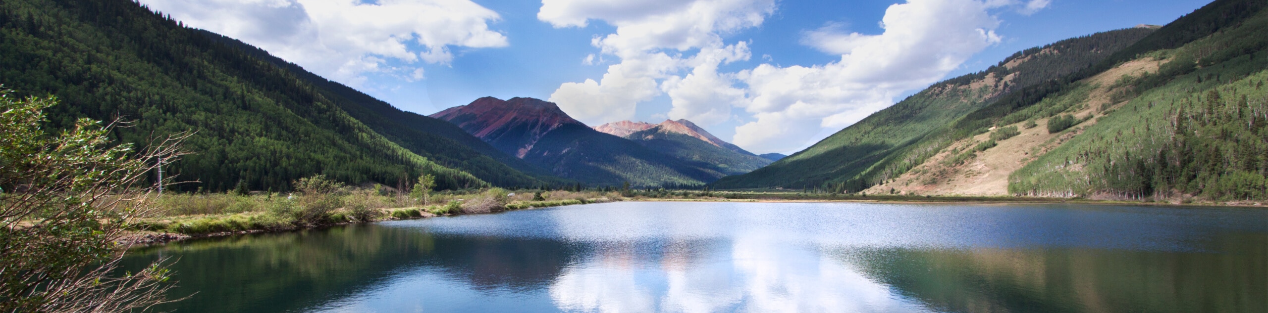
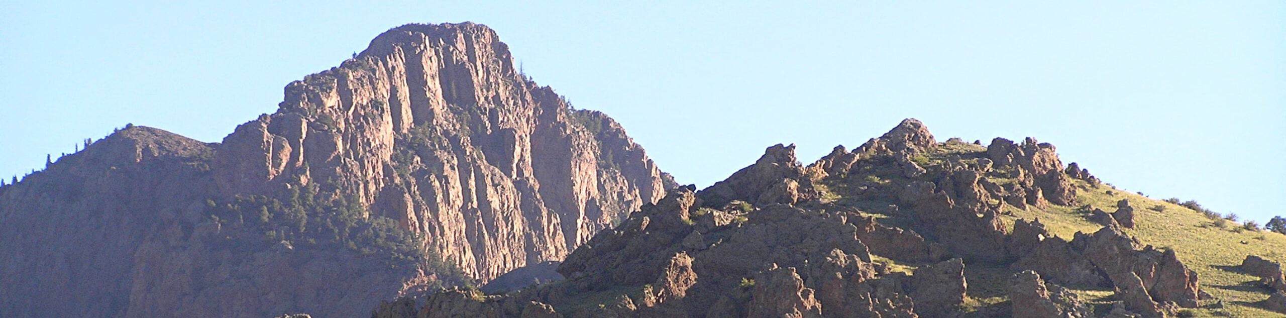
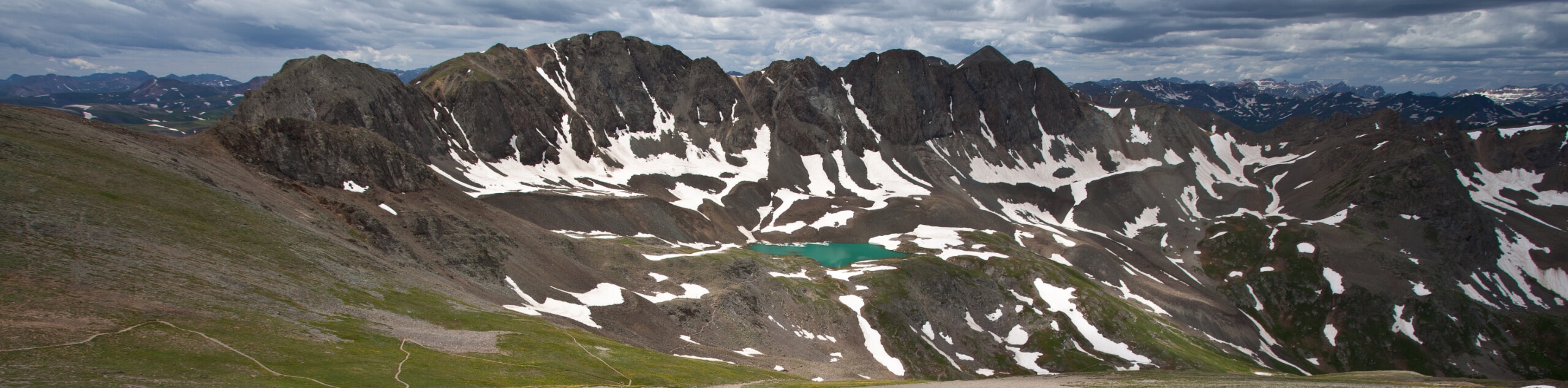
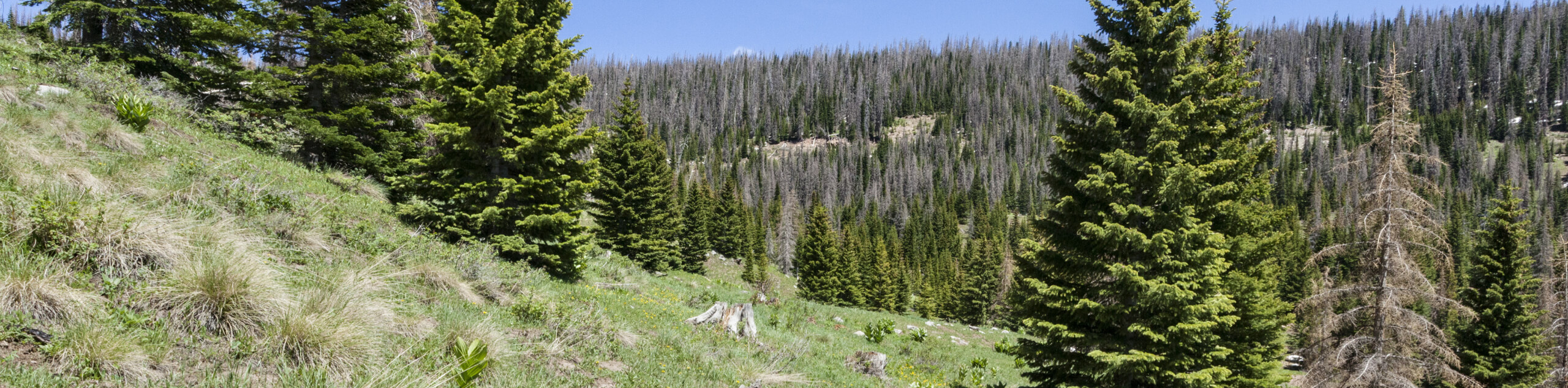
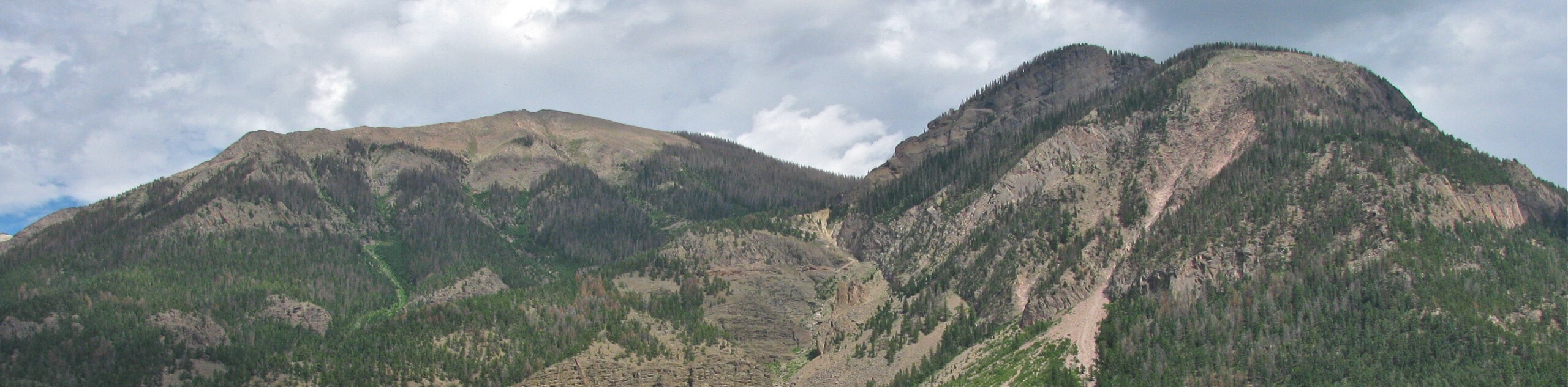
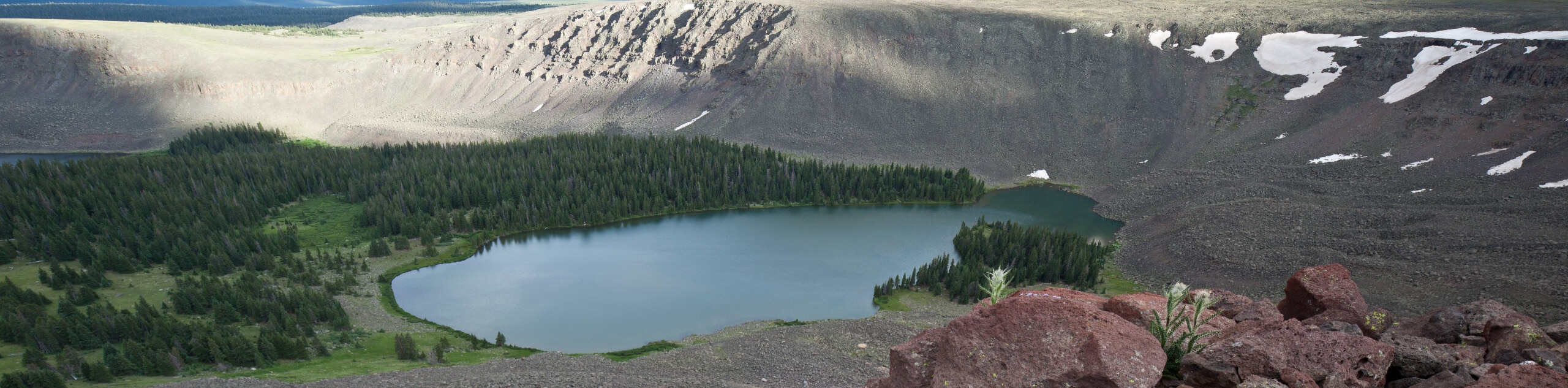
The San Juan Mountains of Colorado and northern New Mexico are a breathtaking collection of rugged peaks and serene alpine valleys that make for the perfect setting for a wonderful hiking excursion. This high and rugged subrange of the Rockies features 14 of Colorado’s 58 fourteeners, meaning that there is no shortage of amazing alpine terrain waiting to be explored.
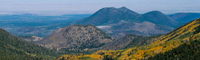
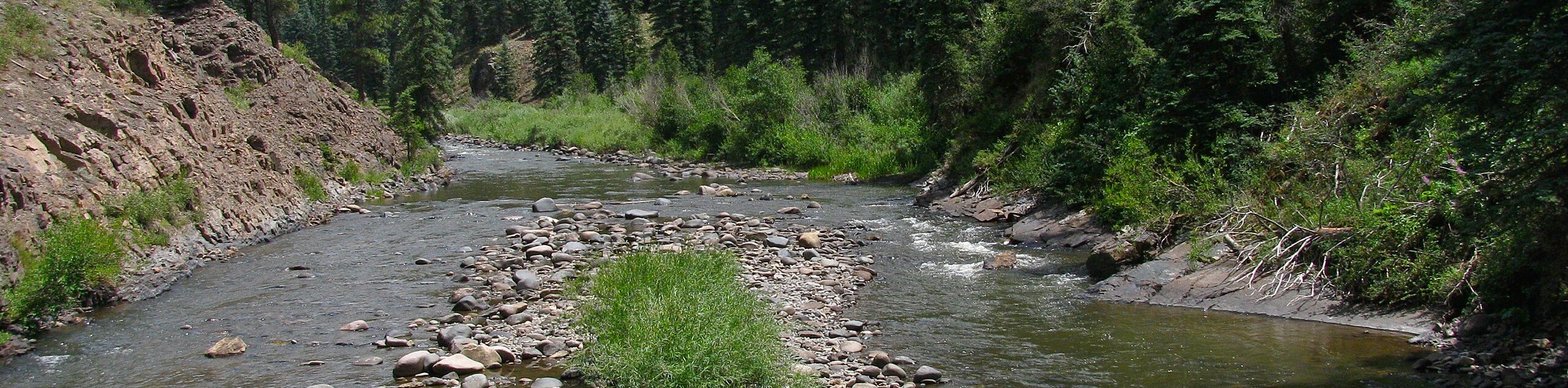
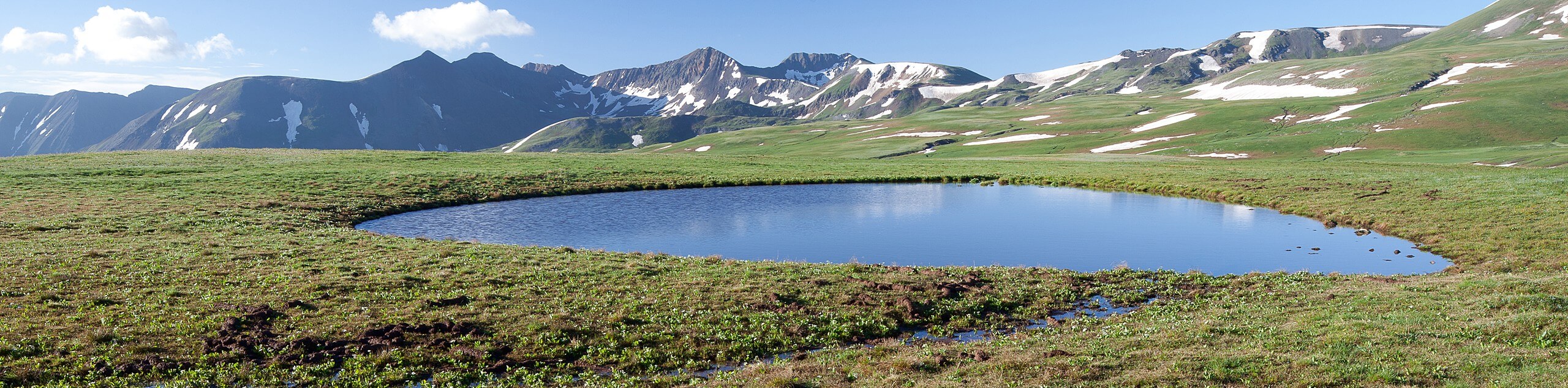
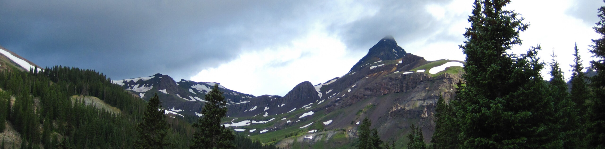
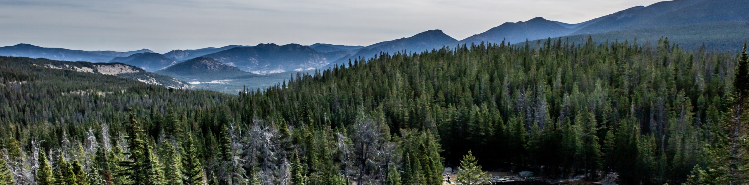
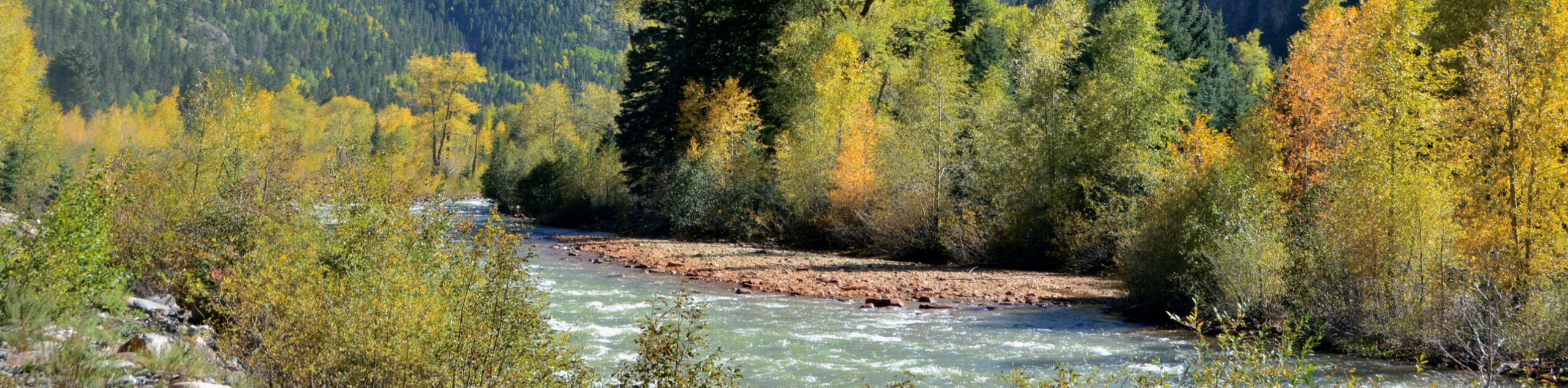
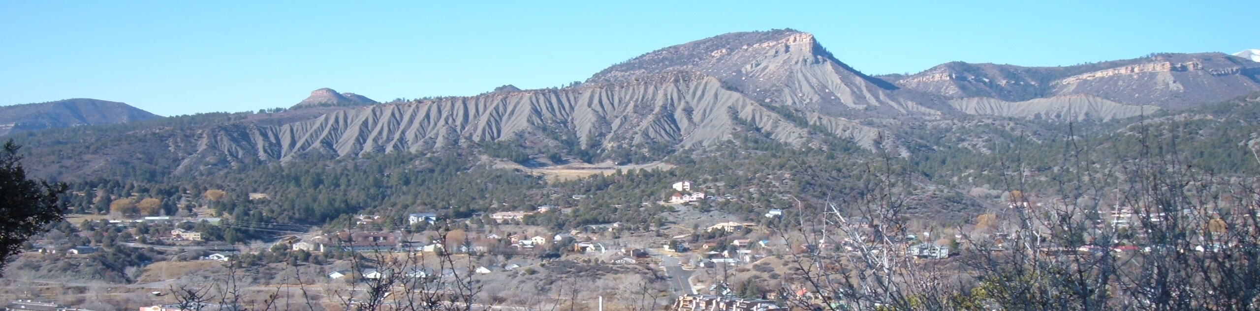
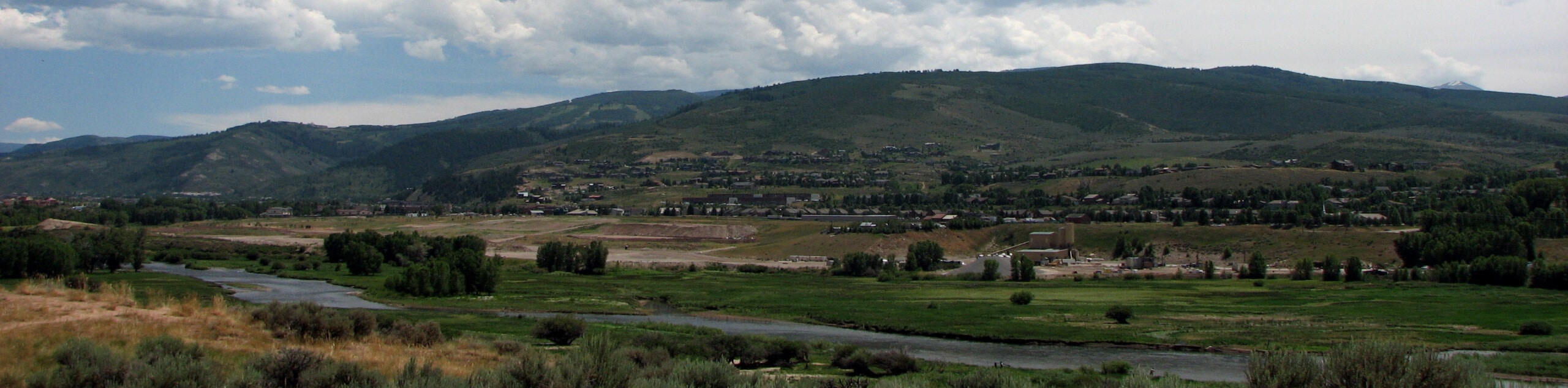
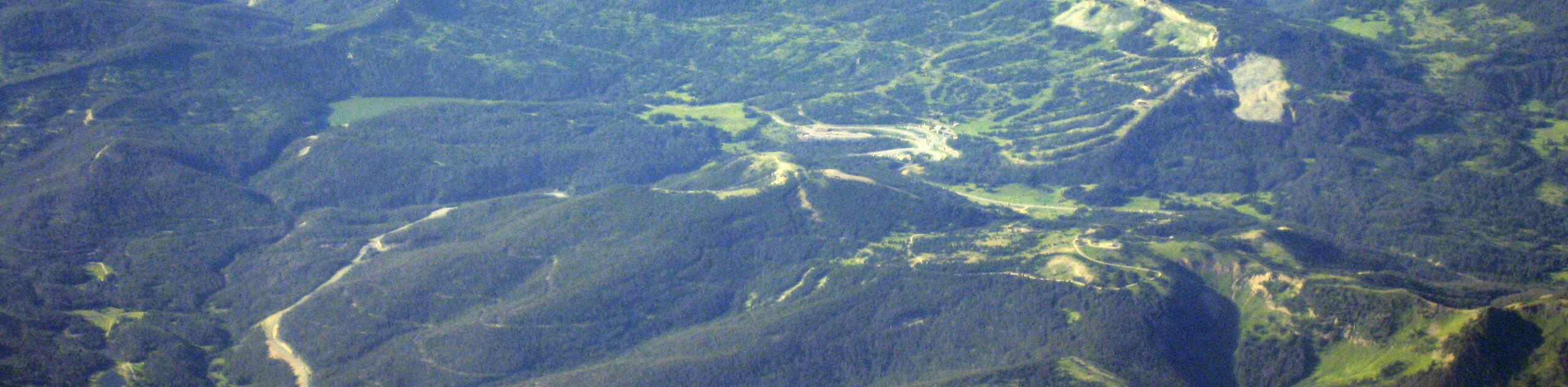
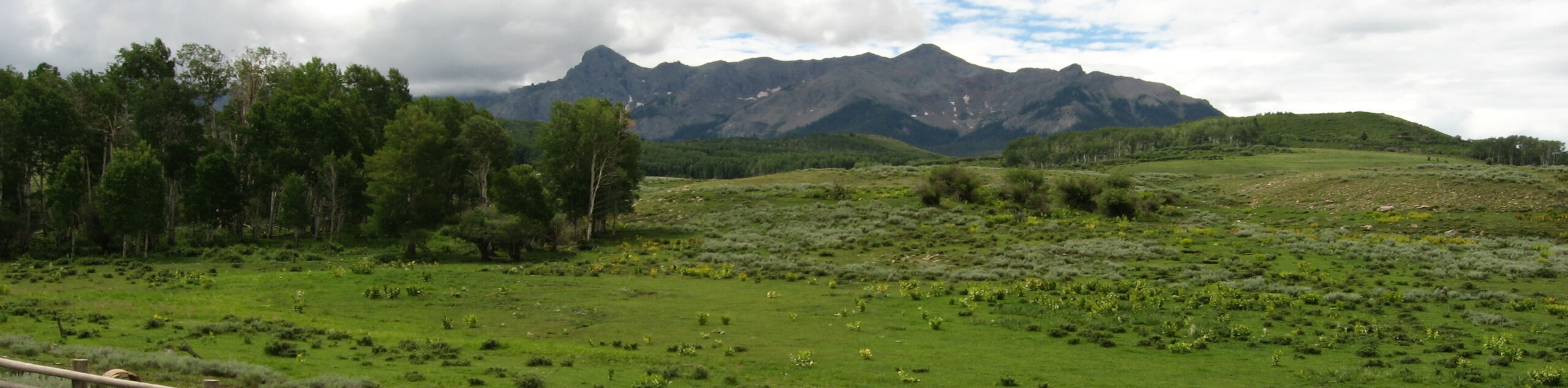
In addition to dramatic mountain peaks, the landscape here is characterized by coursing rivers and vast swathes of woodlands, mostly made up of the San Juan and Uncompahgre National Forests. When combined with the booming adventure towns of Telluride, Ouray, and Silverton, there are countless opportunities to explore the Colorado wilderness in the San Juan Mountains.
15 Fantastic Hiking Routes In the San Juan Mountains
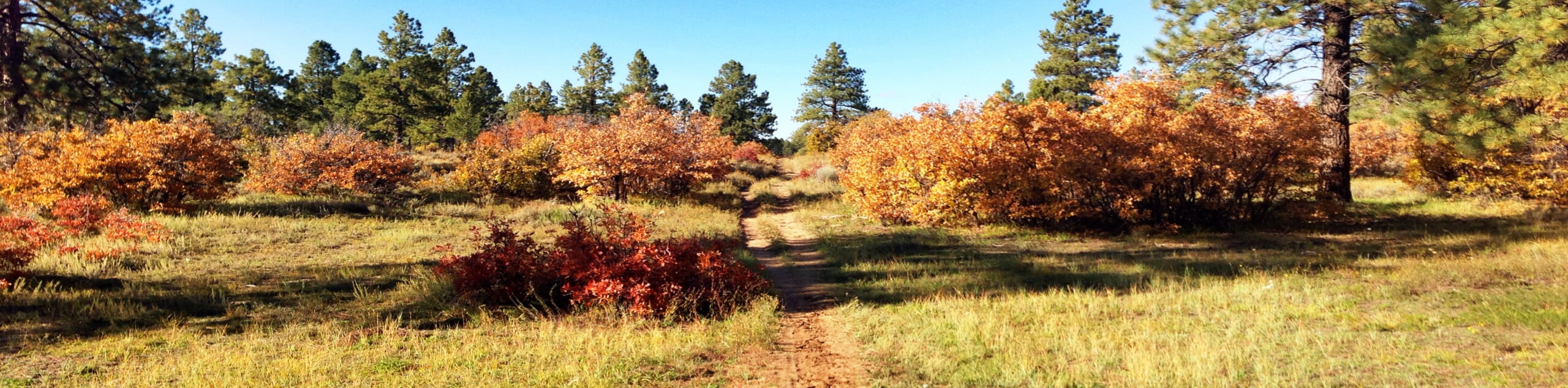
Whether you are looking to summit as many challenging fourteeners as you can or are simply content with strolling through tranquil forests and peaceful alpine meadows, the San Juan Mountains offer a wide range of hiking routes that are suitable for all ages and skill levels. Planning a hiking excursion in an unfamiliar territory can be a bit challenging, so we’ve gone ahead and put together the below list of 15 amazing hiking routes in the San Juan Mountains that we think you will enjoy:
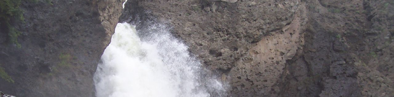
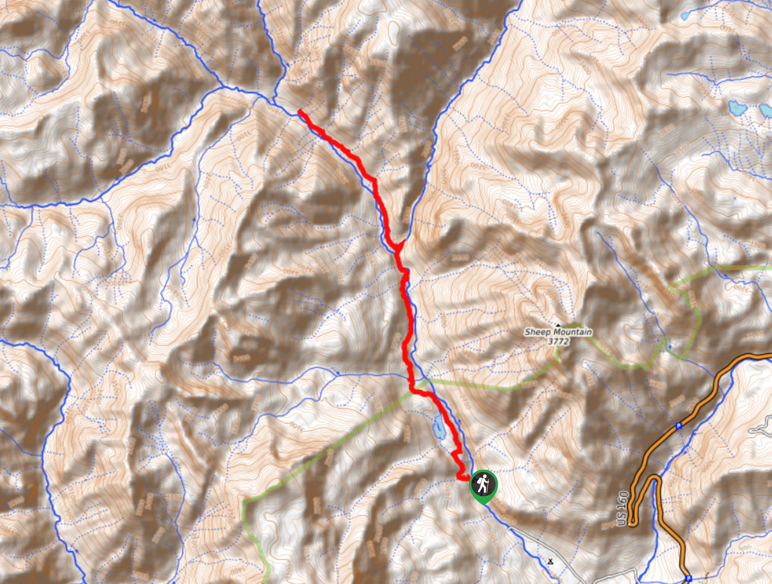
- Piedra Falls Trail: The Piedra Falls Trail is a short and fairly easy hiking route near Pagosa Springs, Colorado that will lead you along the banks of the Piedra River to take in the natural beauty of a cascading waterfall.
- Black Bear Pass Trail: This hike follows along a pretty rough and rugged off-road vehicle route that will take you through a strikingly beautiful mountain pass for views of Telluride and the stunning Bridal Veil Falls.
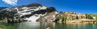
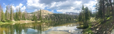
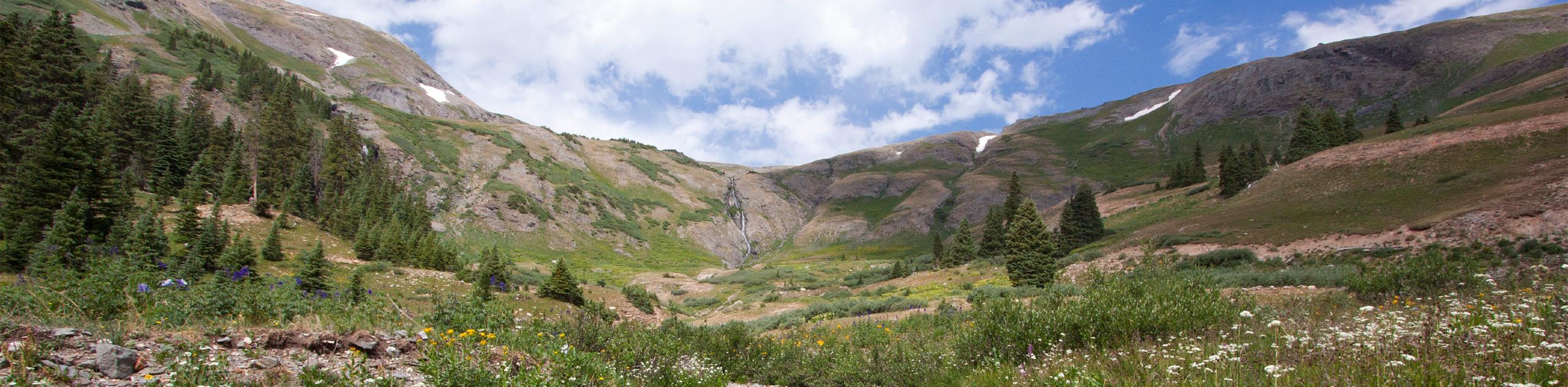
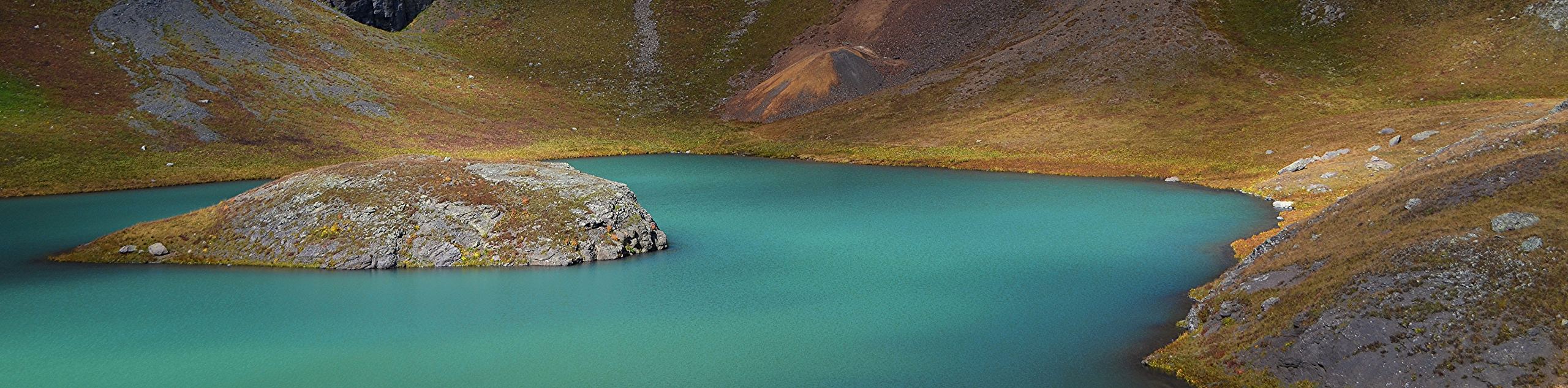
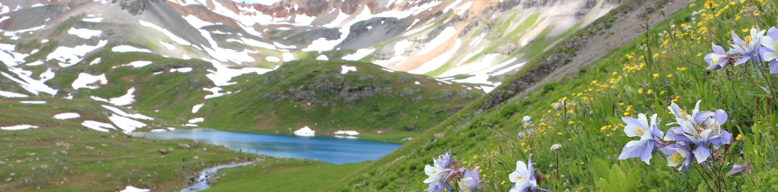
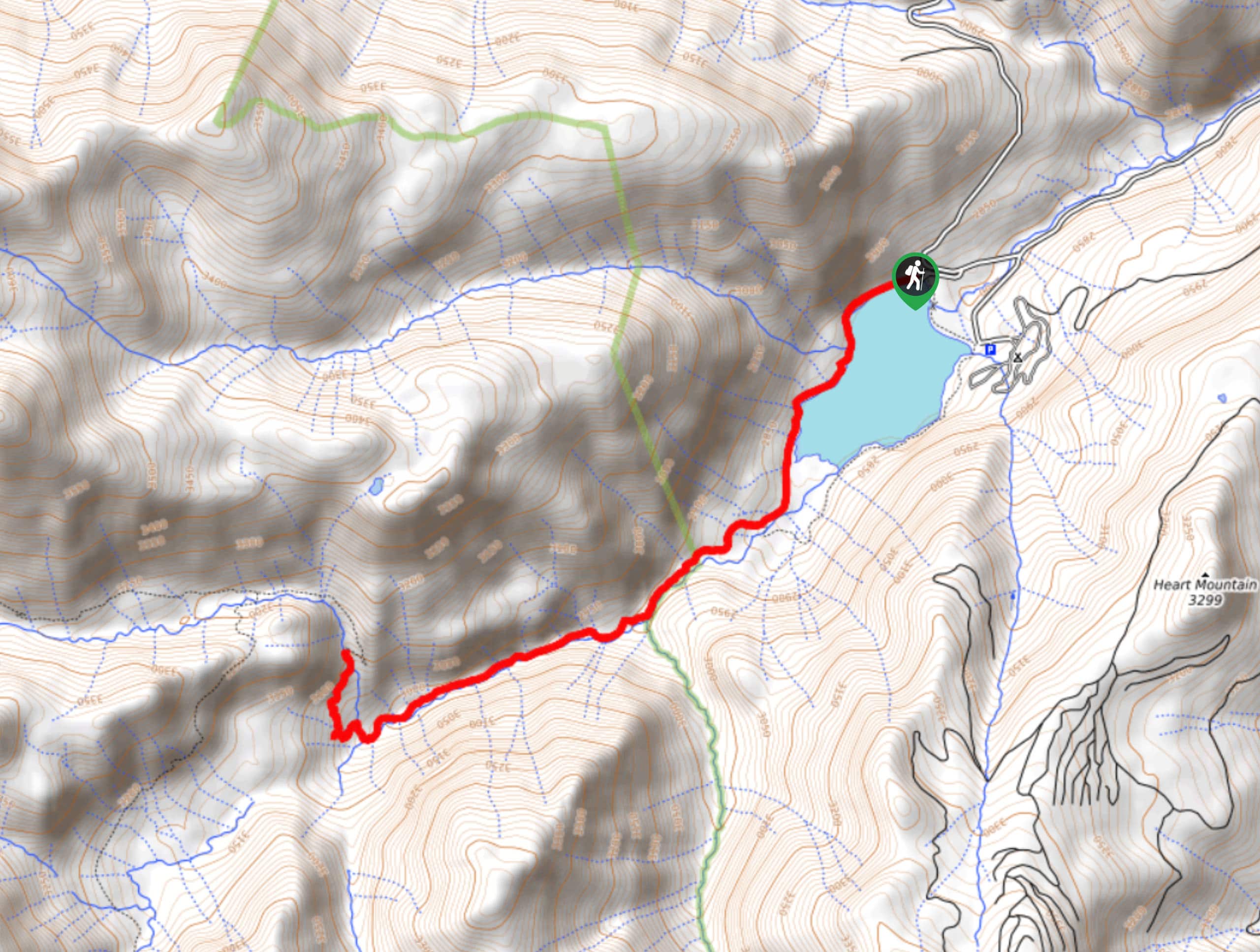
- Lower, Middle, and Upper Blue Lakes Hike: A challenging route with wonderfully scenic views, the Lower, Middle, and Upper Blue Lakes Hike will lead you through forests and meadows to reach a series of lakes beneath the looming presence of Mount Sneffels.
- Lake Nighthorse Trail: Another quick and easy hiking route, this family-friendly trail will lead you along the shores of a beautiful lake for views across the water.
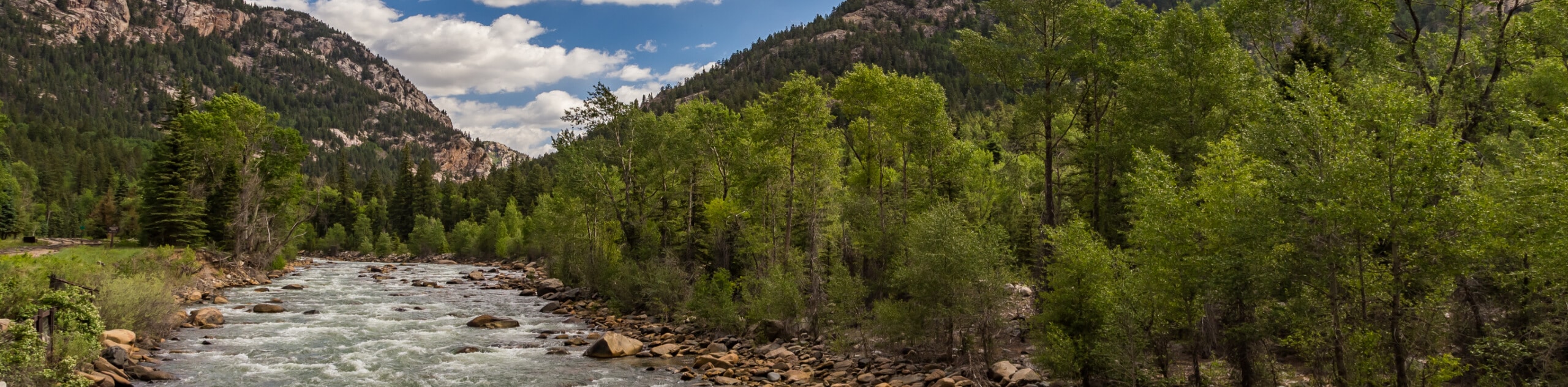
- Piedra River Trail: A longer hike along the winding banks of the Piedra River, this route will lead you through the forest for views of the surrounding landscape and chance to spot some wildlife.
- Chicago Basin Hike: While this hike may be long and challenging, it does offer some absolutely breathtaking views of the surrounding alpine landscape, including the serene Twin Lakes and three nearby fourteeners.
- Columbine Lake Trail #509: Another hiking route that leads up to a stunning alpine lake, this trail will see you traverse a series of 16 switchbacks, as you gain elevation and take in the scenic views of the surrounding mountains.
- Ice Lake Basin Hike: The Ice Lake Basin Hike is a tough adventure, but it offers hikers the chance to climb up into the San Juan Mountains for views of several alpine lakes, as well as the summits of Golden Horn, Vermillion Peak, and Fuller Peak.
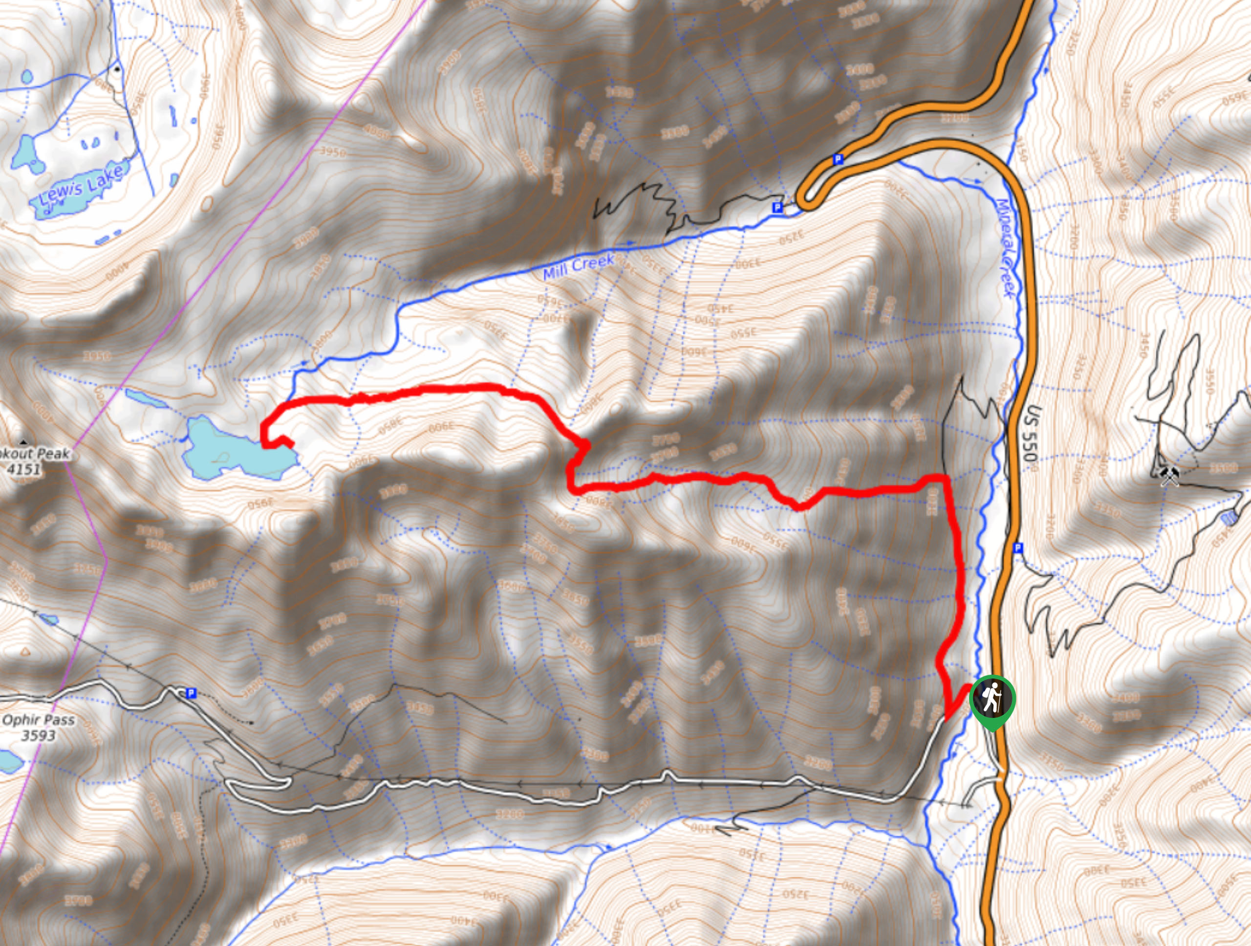
- Ophir Pass Road Hike: While the surrounding terrain is fairly rugged, this hike utilizes an off-road vehicle trail to quickly cut across the dramatic landscape of a mountain pass while taking in the stunning views in all directions.
- Island Lake via Ice Lakes Trail: Another great trail leading up into the picturesque Ice Lakes Basin, the upper portion of this route breaks off in a different direction to visit the charming shores of Island Lake.
- Handies Peak Hike: A fairly steep climb up a rugged fourteener, the Handies Peak Hike is one of the easier fourteener routes when it comes to the nature of the terrain and its relatively short and direct route to the summit.
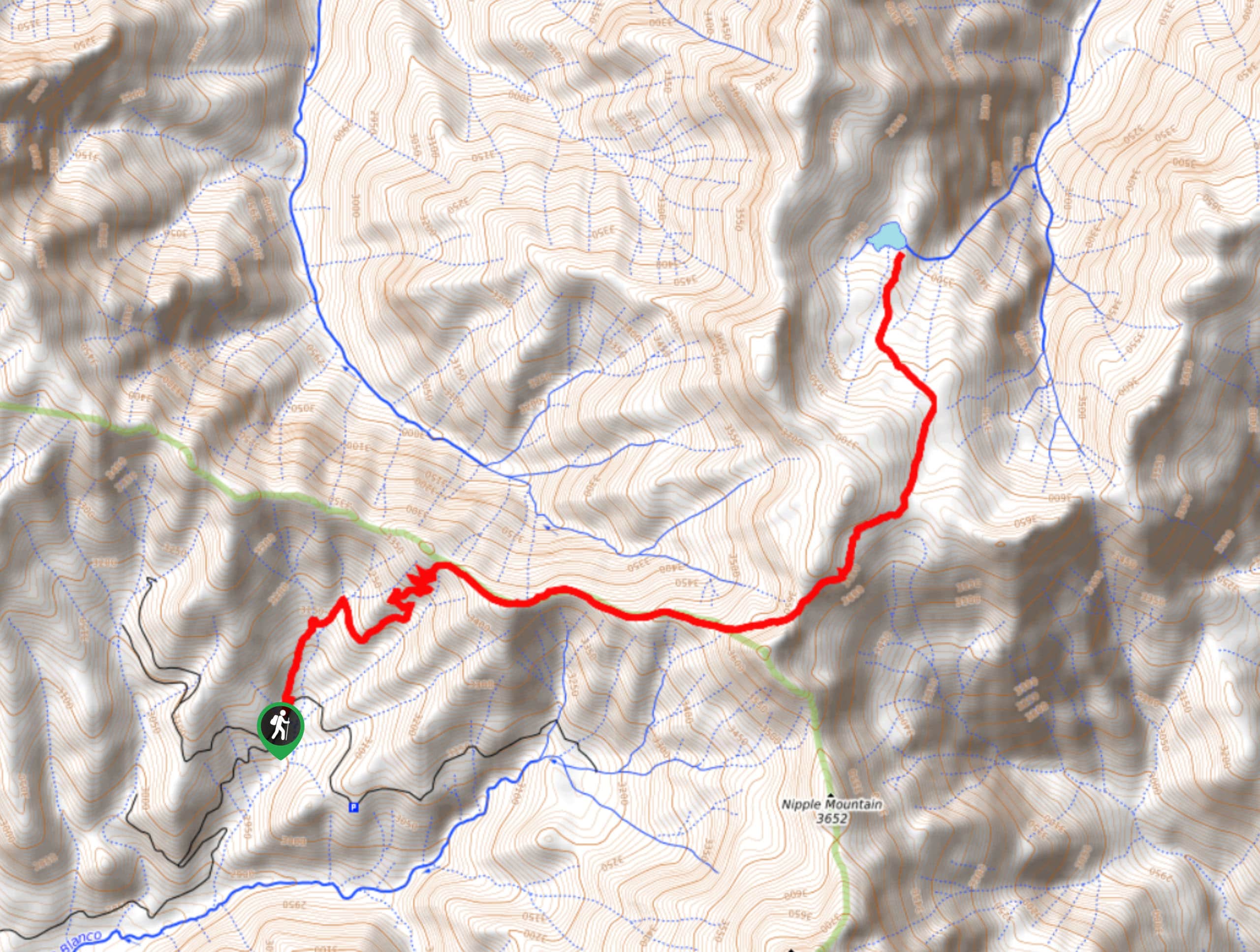
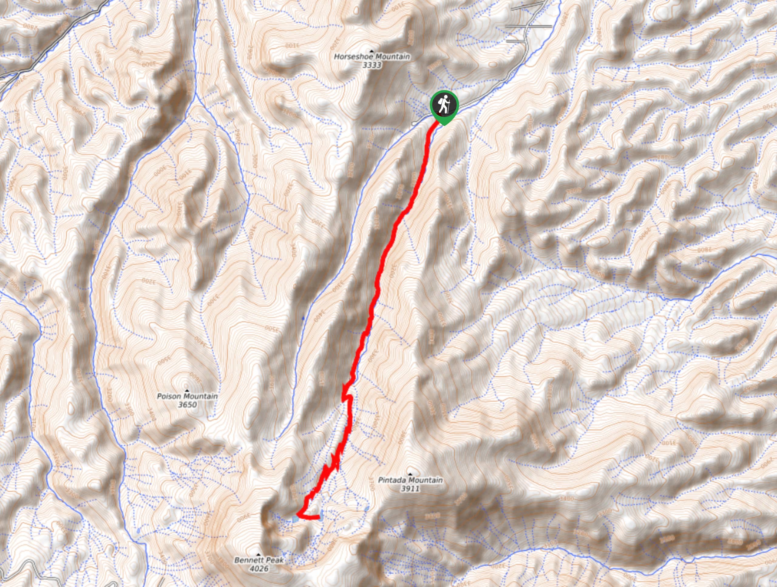
- Uncompahgre Peak Hike: This exceptional hiking route is challenging, but it will lead you up to the highest highest point in the San Juan Mountains and the 6th highest in the entire state of Colorado.
- Rainbow Hot Springs Hike: A fairly long hike through relaxed riverside terrain, this adventure offers the chance to soak your aching bones in a series of thermal pools at the endpoint of the trail.
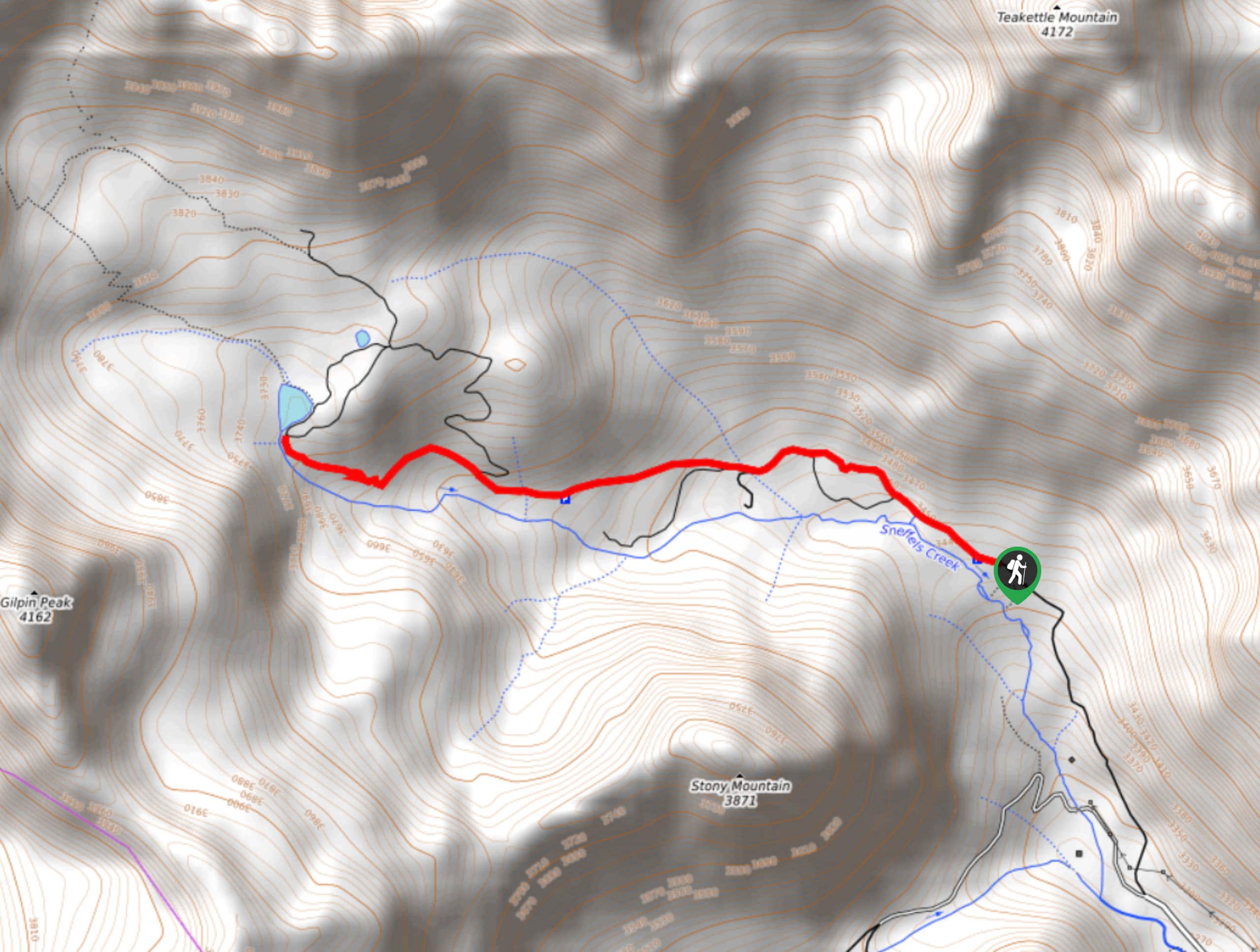
- Mount Sneffels via Yankee Boy Basin Hike: Featuring some scrambling over loose scree slopes, this rugged hiking route will take you through the Yankee Boy Basin to reach the summit of a rugged fourteener known as Mount Sneffels.
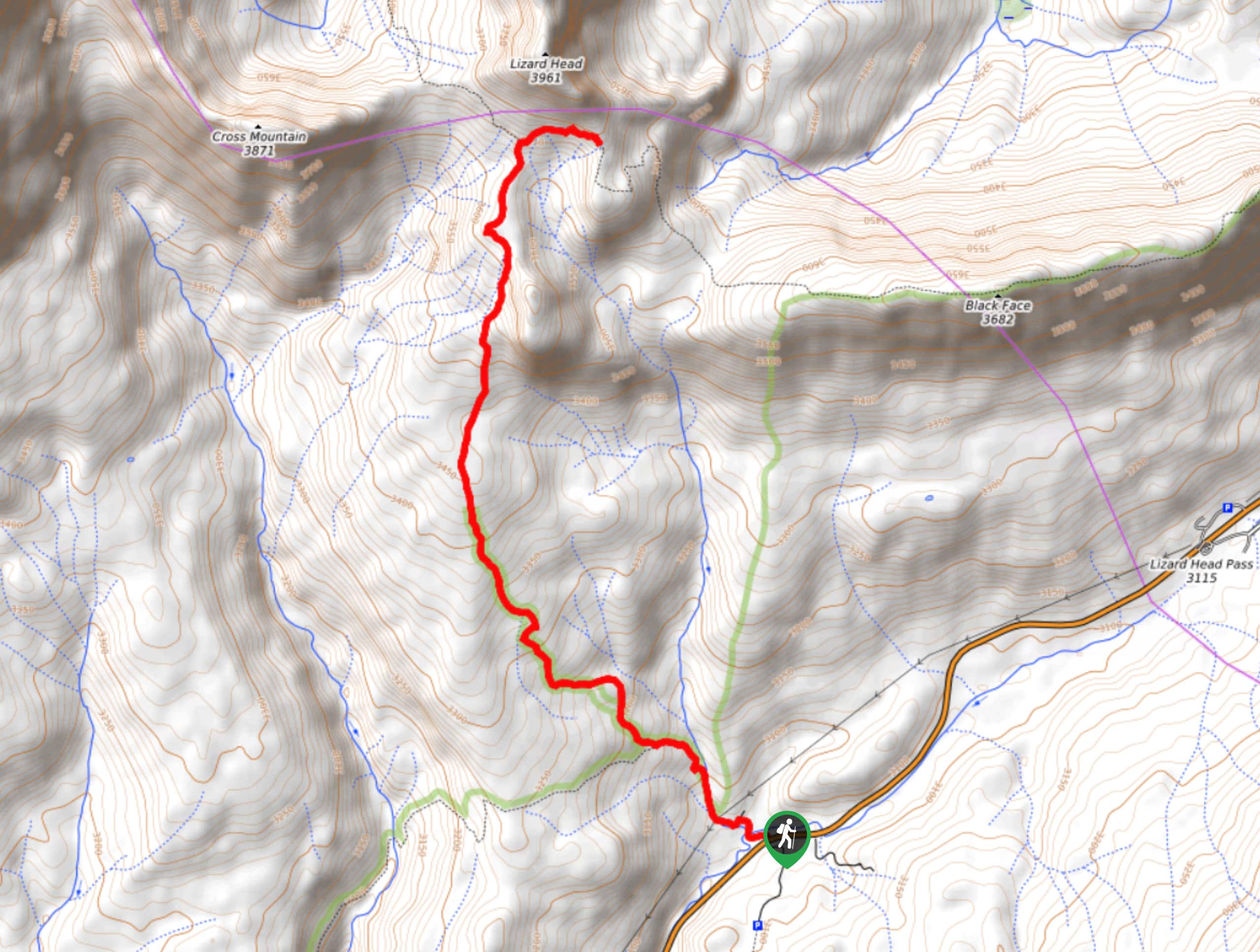
- Lizard Head Trail: This beautifully scenic hiking route won’t take you right up to the summit of Lizard Head, but it will take you just below it before traversing another ridge that offers stunning views of the surrounding landscape.
When is the Best Time to Hike in the San Juan Mountains?
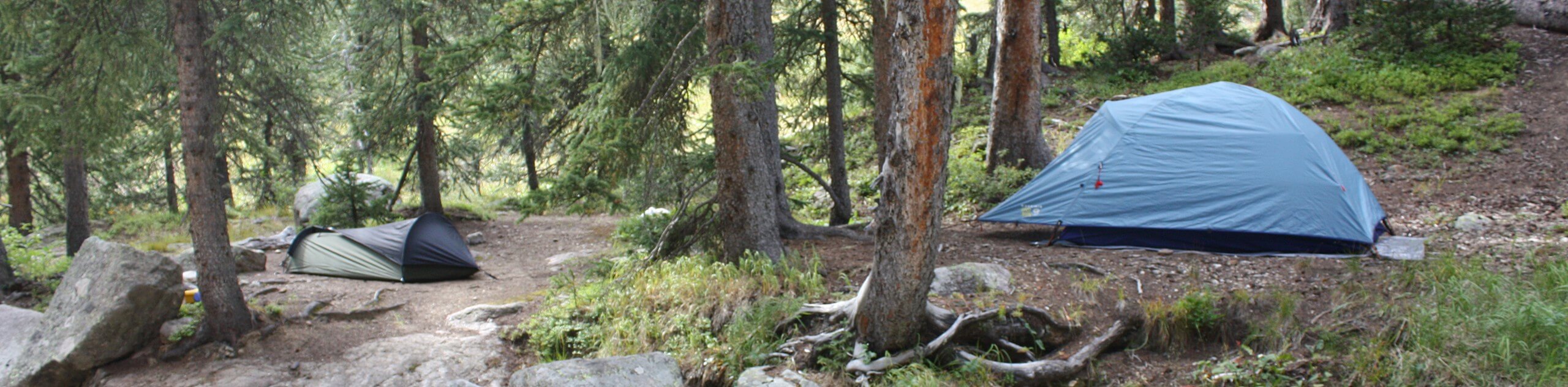
The best time to explore the rugged landscape of the San Juan Mountains for a fun hiking excursion is during the summer months after the ski season is over, the threat of avalanche conditions has gone away, and the hiking trails are mostly dry and free of snow. During the May-October window, most of the snow along the trails will have melted to reveal lovely alpine valleys and dramatic mountain peaks that have waited all winter to be climbed; however, some of the trails at higher elevations will only be accessible for a brief amount of time between July and August.
Other Outdoor Activities in the San Juan Mountains
While hiking is one of the more popular activities in the San Juan Mountains during the summer, there are countless other exciting excursions to try out in the area, such as horseback riding, mountain biking, swimming, fishing, canoeing, kayaking, and many more. When the landscape freezes over in the winter and the region is covered in a blanket of snow and ice, the focus of outdoor activities shifts largely to skiing and snowboarding on the rugged mountain slopes, as well as other pastimes like snowshoeing.
Fantastic Adventure Tours Near the San Juan Mountains
Exploring the stunning terrain of the San Juan Mountains is an amazing experience, and for some people, planning that adventure is all a part of the journey; however, if you have never been to the area and aren’t sure how to go about planning an action packed adventure it can be a tricky thing to navigate. If you are looking to explore the wild mountain landscape and take in the stunning alpine scenery of Colorado without the difficulties of planning every aspect of your journey, check out one of these spectacular adventure tours in Colorado and leave the planning to the professionals.
Frequently Asked Questions About the San Juan Mountains
Where are the San Juan Mountains?
The San Juan Mountains are a subrange of the Rocky Mountains, and can be found in the southern Part of Colorado and northwestern New Mexico.
What is the highest elevation in the San Juan Mountains?
At 15194ft, Uncompahgre Peak is the highest point in the San Juan Mountains.
How many fourteeners are there in the San Juan Mountains?
14 of Colorado’s 58 fourteeners can be found in the San Juan Mountain Range of southwestern Colorado.
Find other spectacular Hiking regions in the Colorado
- Denver
- Black Canyon of the Gunnison National Park
- Front Range
- Indian Peaks Wilderness
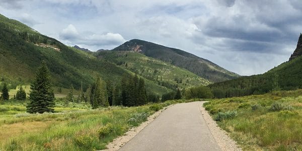
- Vail
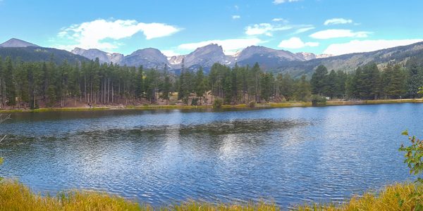
- Rocky Mountain National Park
The best hikes in San Juan Mountain Range
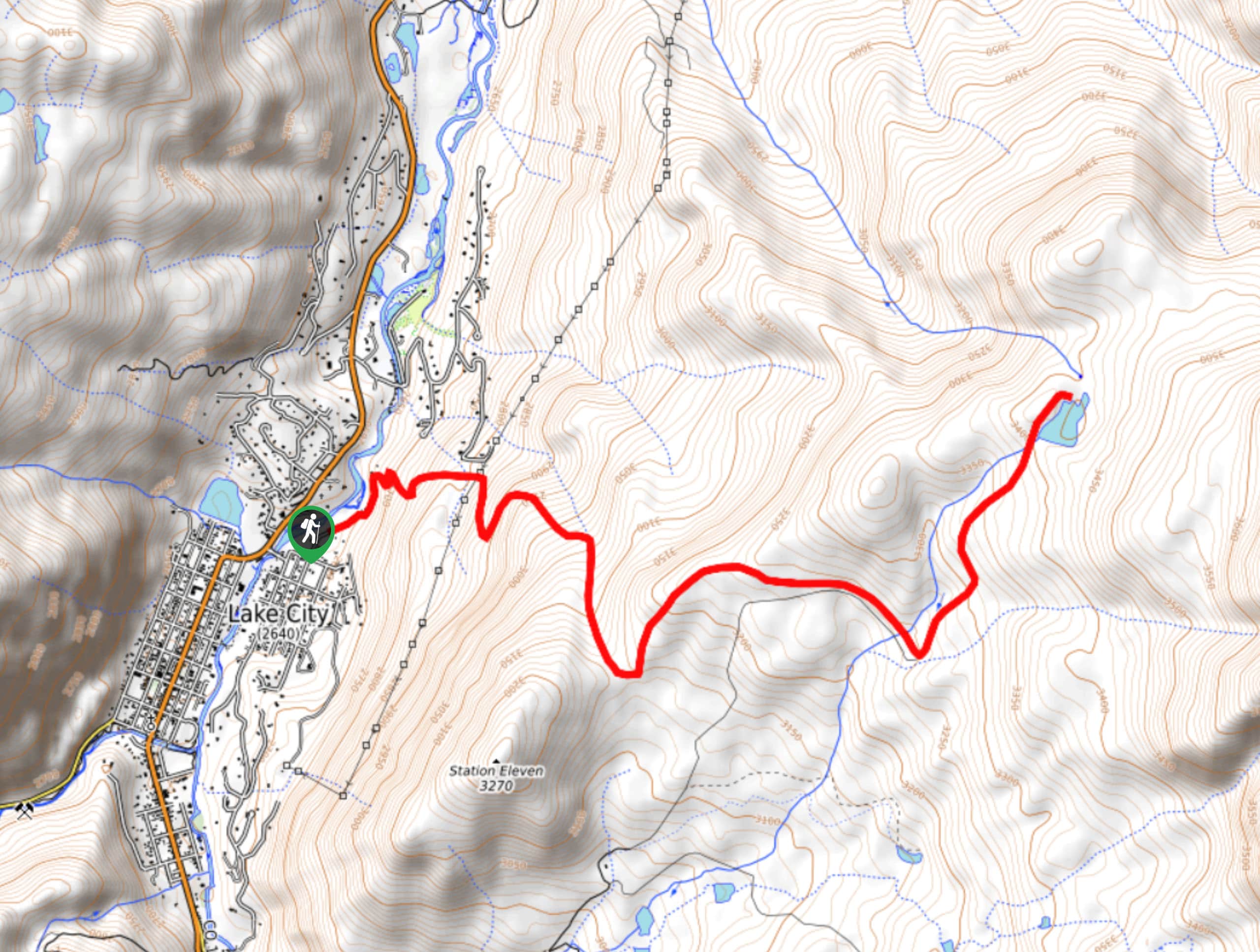
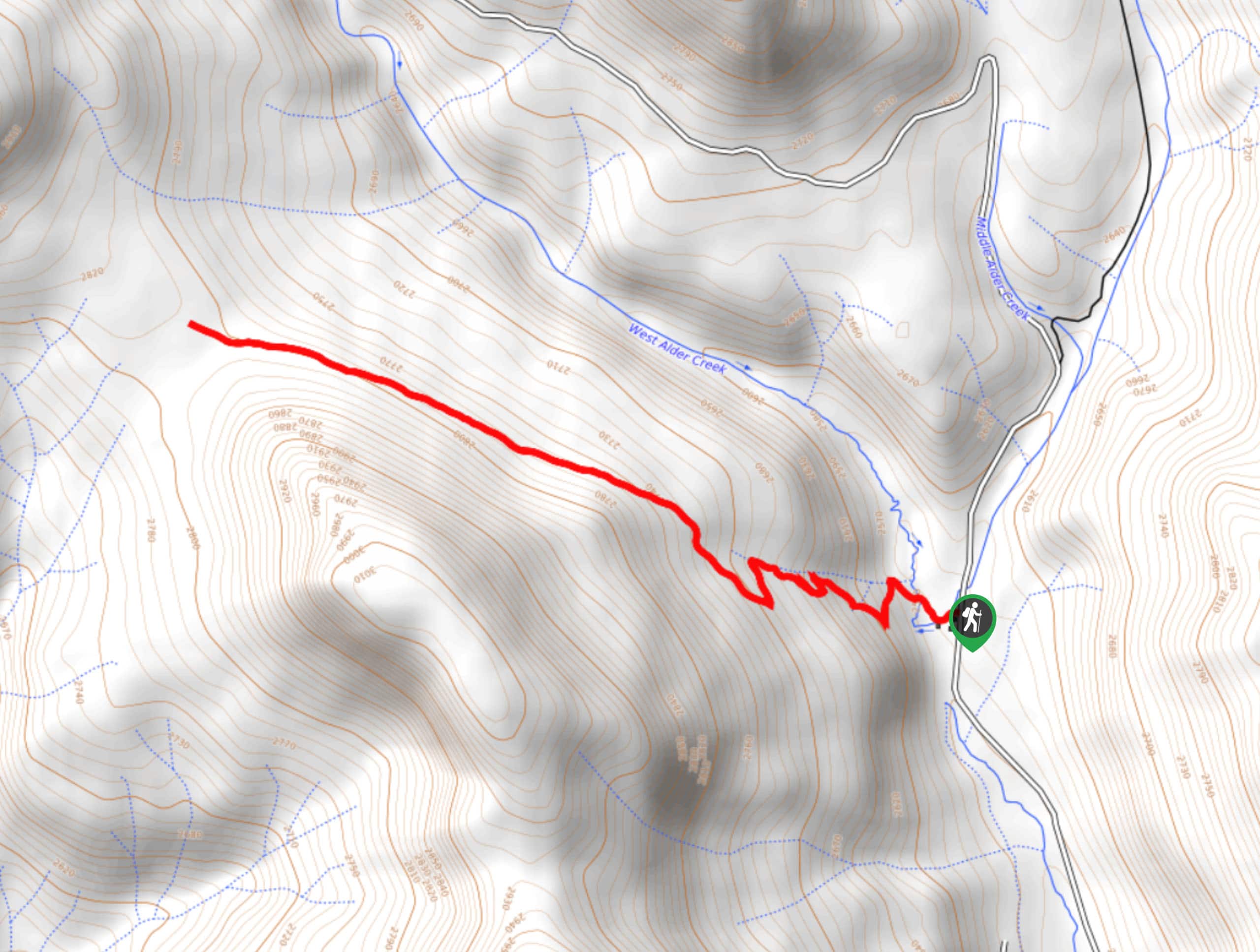
01. Piedra Falls Trail
Difficulty
The Piedra Falls Trail is a quick and easy adventure in the San Juan Mountains… Read More
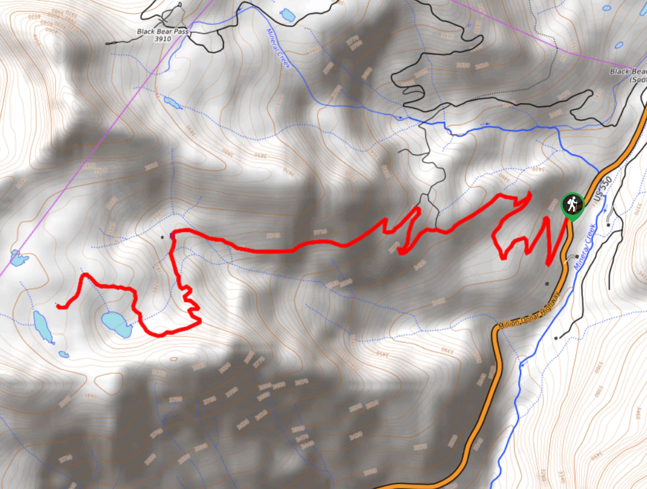
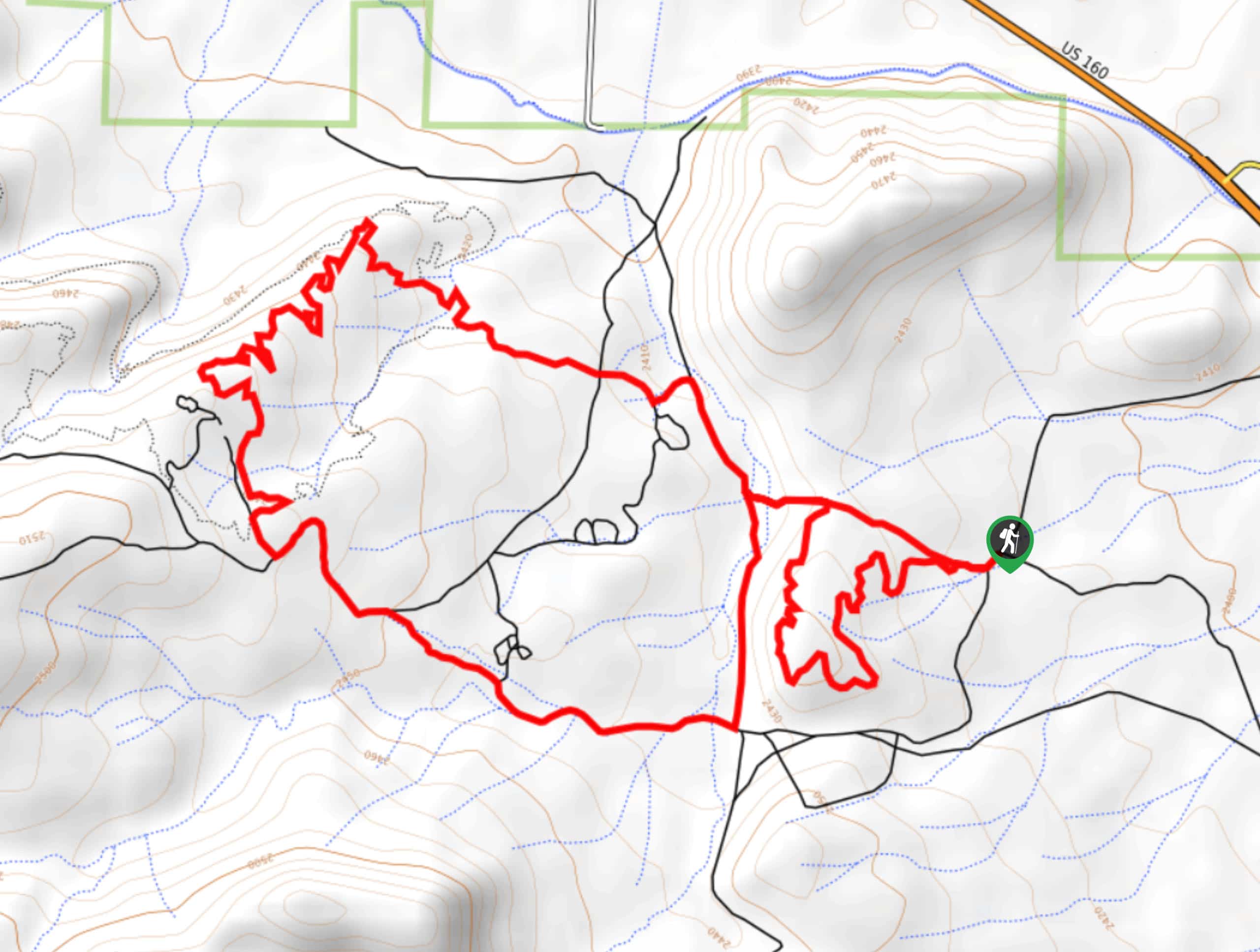
02. Black Bear Pass Trail
Difficulty
The Black Bear Pass Trail is a fantastic hiking route in the San Juan Mountains… Read More
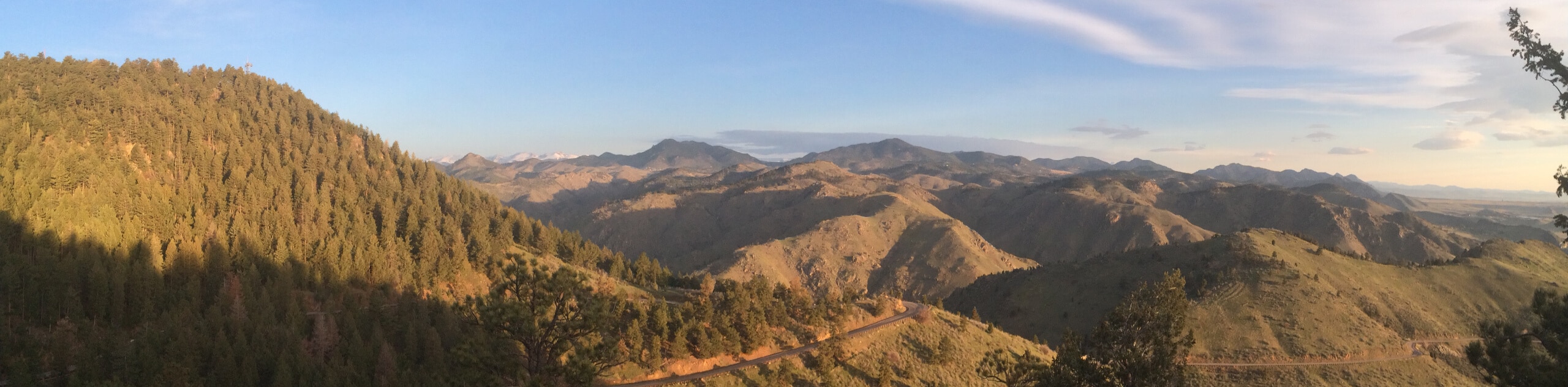
03. Lower, Middle, and Upper Blue Lakes Hike
Difficulty
The Lower, Middle, and Upper Blue Lakes Hike is a spectacular adventure in the San… Read More
04. Lake Nighthorse Trail
Difficulty
Hiking the Lake Nighthorse Trail is a fantastic family-friendly activity outside of Durango, Colorado that… Read More
05. Piedra River Trail
Difficulty
Hiking the Piedra River Trail is a great intermediate-length adventure in Colorado that will allow… Read More
06. Chicago Basin Hike
Difficulty
The Chicago Basin Hike is a challenging, but non-technical, adventure in the San Juan Mountains… Read More
07. Columbine Lake Trail #509
Difficulty
Columbine Lake Trail #509 is a fantastic hiking route in the San Juan Mountains that… Read More
08. Ice Lake Basin Hike
Difficulty
The Ice Lake Basin Hike is a tough and rewarding trail in the San Juan… Read More
09. Ophir Pass Road Hike
Difficulty
The Ophir Pass Road Hike is a straightforward adventure near Silverton, Colorado that will take… Read More
10. Island Lake via Ice Lakes Trail
Difficulty
Hiking to Island Lake via Ice Lakes Trail is a popular outdoor activity in the… Read More
Yes, there are more than 10
San Juan Mountain Range is so beautiful that we can not give you only 10 hikes. So here is a list of bonus hikes in San Juan Mountain Range that you should take a look at as well
11. Handies Peak Hike
Difficulty
The Handies Peak Hike is a breathtaking adventure in the San Juan Mountains that will… Read More
12. Uncompahgre Peak Hike
Difficulty
The uncompahgre Peak Hike is a challenging and exhilarating excursion in the San Juan Mountains… Read More
13. Rainbow Hot Springs Hike
Difficulty
The Rainbow Hot Springs Hike is a scenic adventure in the San Juan Mountains of… Read More
14. Mount Sneffels via Yankee Boy Basin Hike
Difficulty
The Mount Sneffels via Yankee Boy Basin Hike is an exhilarating adventure in the San… Read More
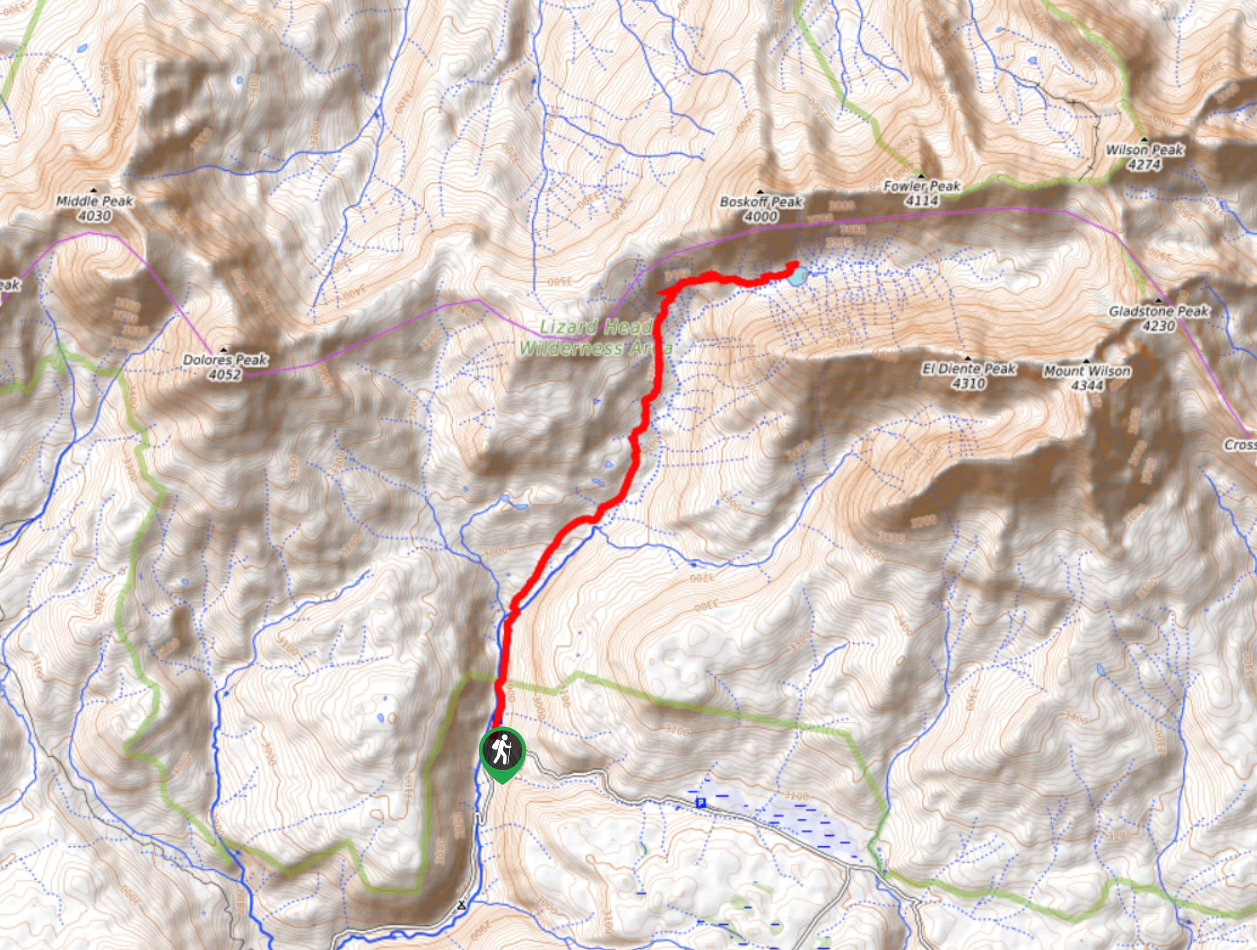
15. Lizard Head Trail
Difficulty
The Lizard Head Trail is a long and difficult adventure in the San Juan Mountains… Read More
16. Wetterhorn Peak Hike
Difficulty
The Wetterhorn Peak Hike is an extremely challenging, but beautifully scenic, adventure in the San… Read More
17. Purgatory Trail
Difficulty
The Purgatory Trail is a fantastic outdoor adventure in Colorado that will take you through… Read More
18. Mount Eolus Hike
Difficulty
The Mount Eolus Hike is a very challenging adventure in the Rocky Mountains that will… Read More
19. Ridgway Reservoir Trail
Difficulty
The Ridgway Reservoir Trail is a lovely hiking route in Ridgway State Park that will… Read More
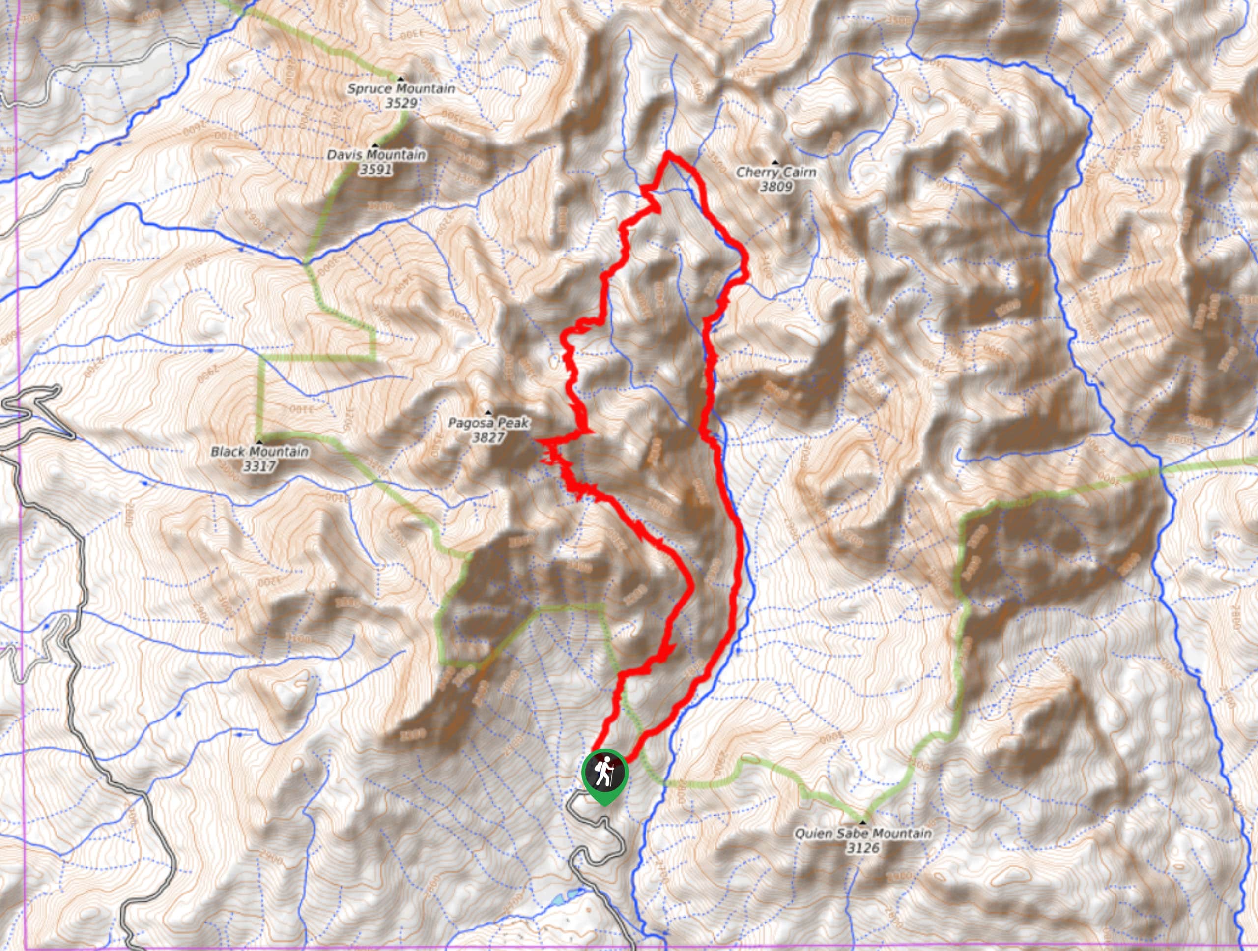
20. Pagosa Peak Hike
Difficulty
The Pagosa Peak Hike is a tough route north of Pagosa Springs, Colorado that will… Read More
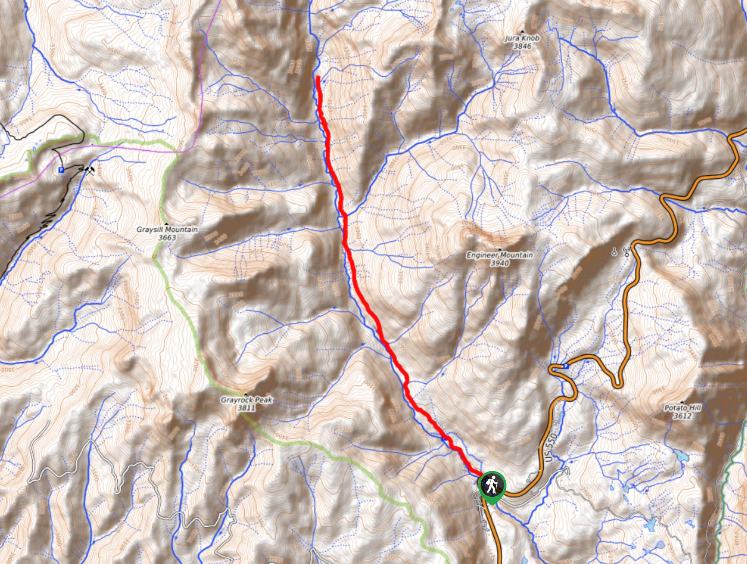
21. Engineer Mountain Trail
Difficulty
Hiking the Engineer Mountain Trail is a fun, albeit challenging, adventure in the San Juan… Read More
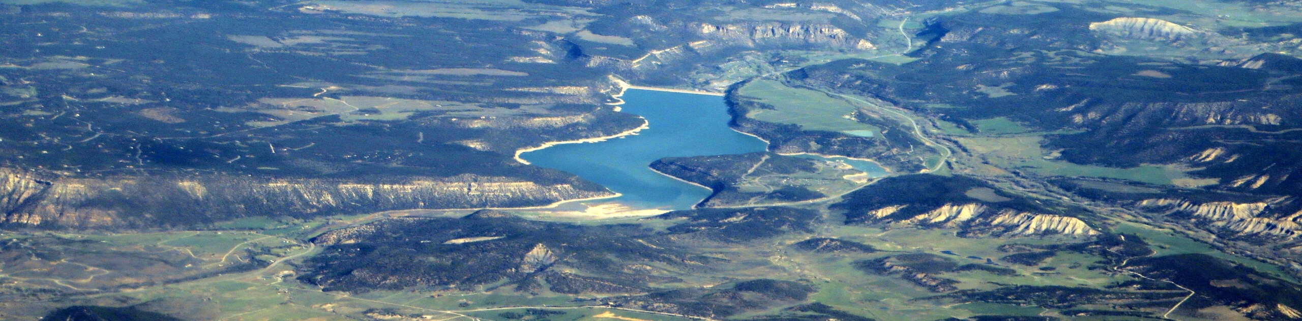
22. Cross Mountain Trail
Difficulty
The Cross Mountain Trail is a fantastic hiking route in the San Juan Mountains of… Read More
23. Navajo Lake Trail
Difficulty
Hiking the Navajo Lake Trail is an amazing experience in the San Juan Mountains that… Read More
24. Cascade Creek East Fork Hike
Difficulty
The Cascade Creek East Fork Hike is a fantastic adventure in the San Juan Mountains… Read More
25. Priest Gulch and Highline Driveway Loop Trail
Difficulty
The Priest Gulch and Highline Driveway Loop Trail is a lengthy and challenging adventure in… Read More
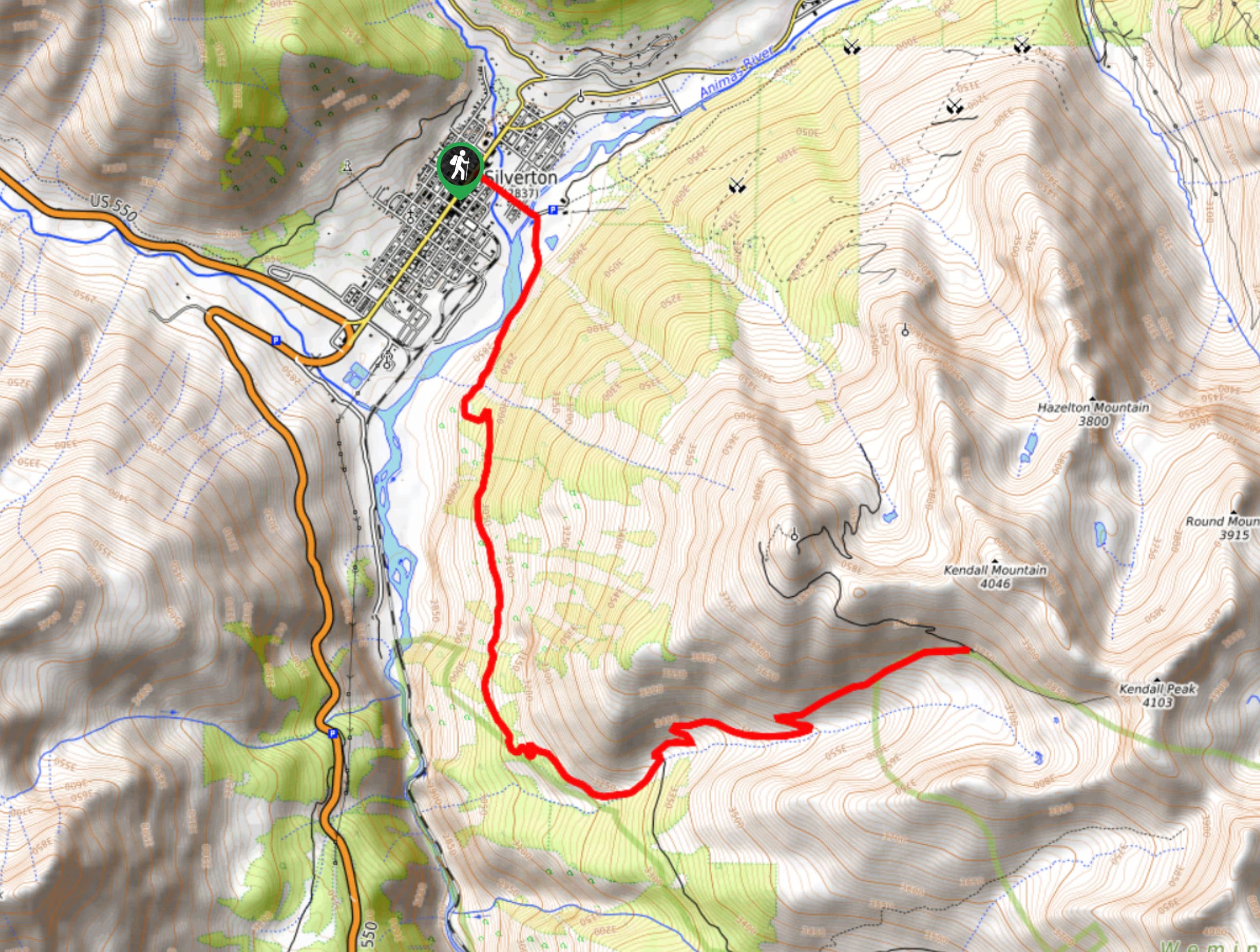
26. Kendall Peak Road Hike
Difficulty
The Kendall Peak Road Hike is a challenging adventure in the San Juan Mountains that… Read More
27. Highland Mary Lake Trail
Difficulty
The Highland Mary Lake Trail is a fun family-friendly adventure near Silverton that will take… Read More
28. Highland Mary Lake Loop Trail
Difficulty
The Highland Mary Lake Loop Trail is a fantastic adventure near Silverton, Colorado that will… Read More
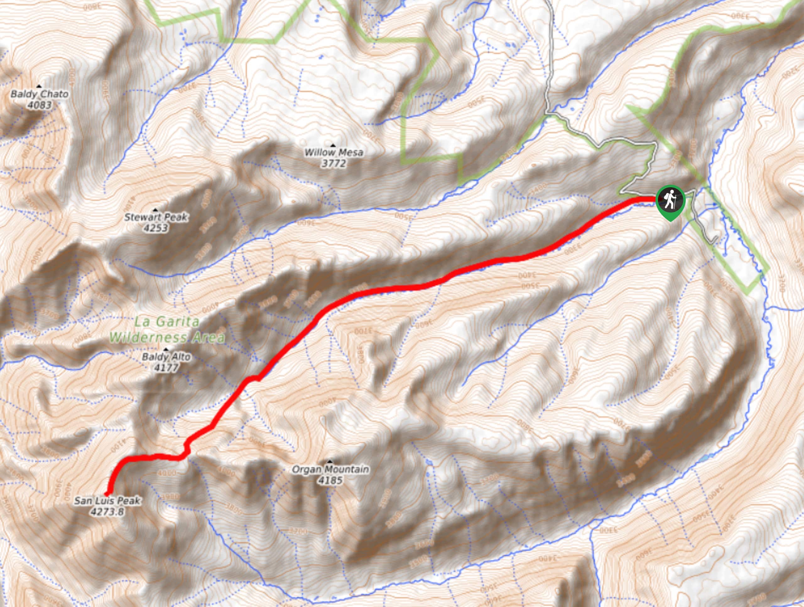
29. San Luis Peak via Stewart Creek Trail
Difficulty
Hiking to San Luis Peak via Stewart Creek Trail is a well-maintained and challenging route… Read More
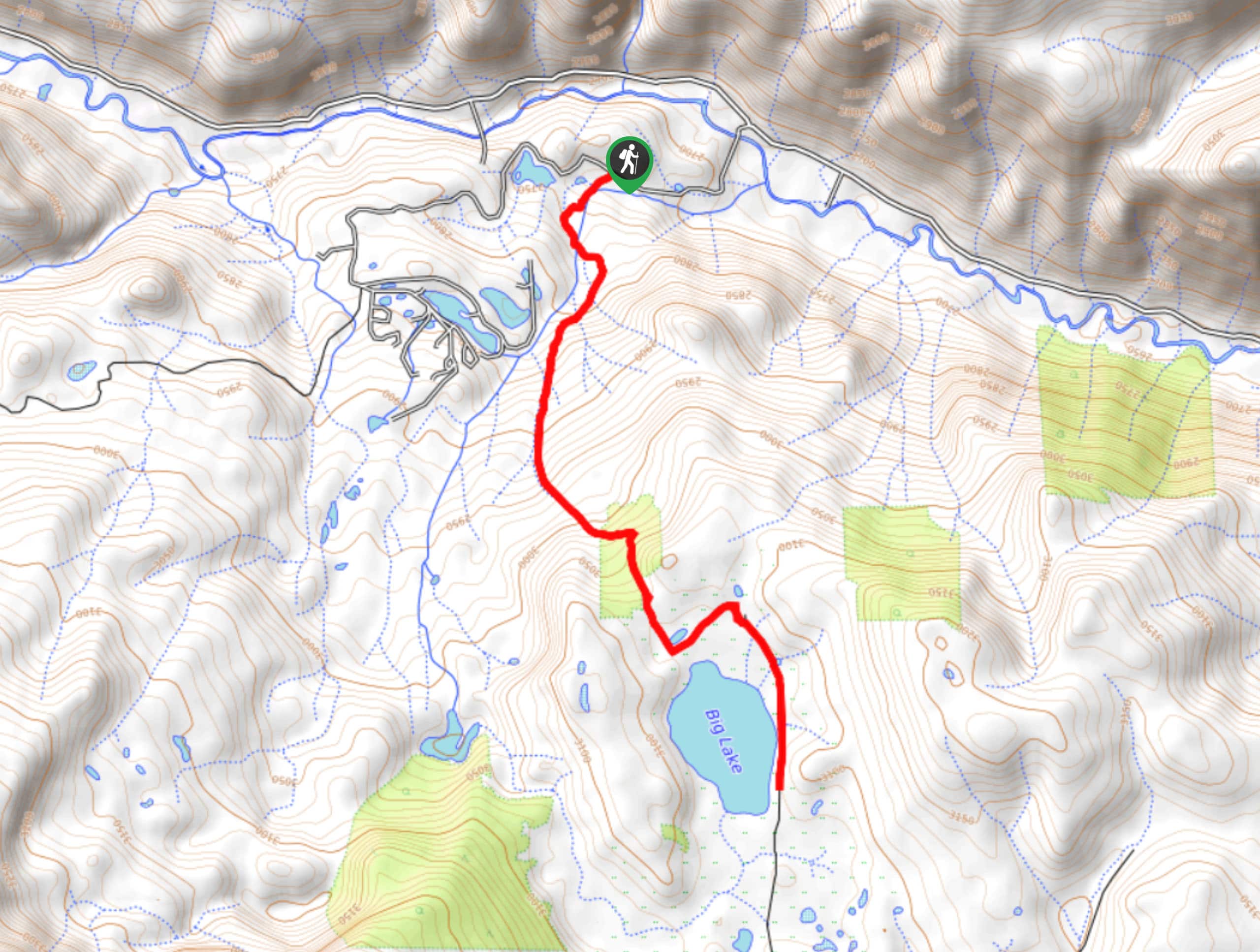
30. Big Lake Trail
Difficulty
The Big Lake Trail is a fantastic hiking route in the San Juan Mountains that… Read More
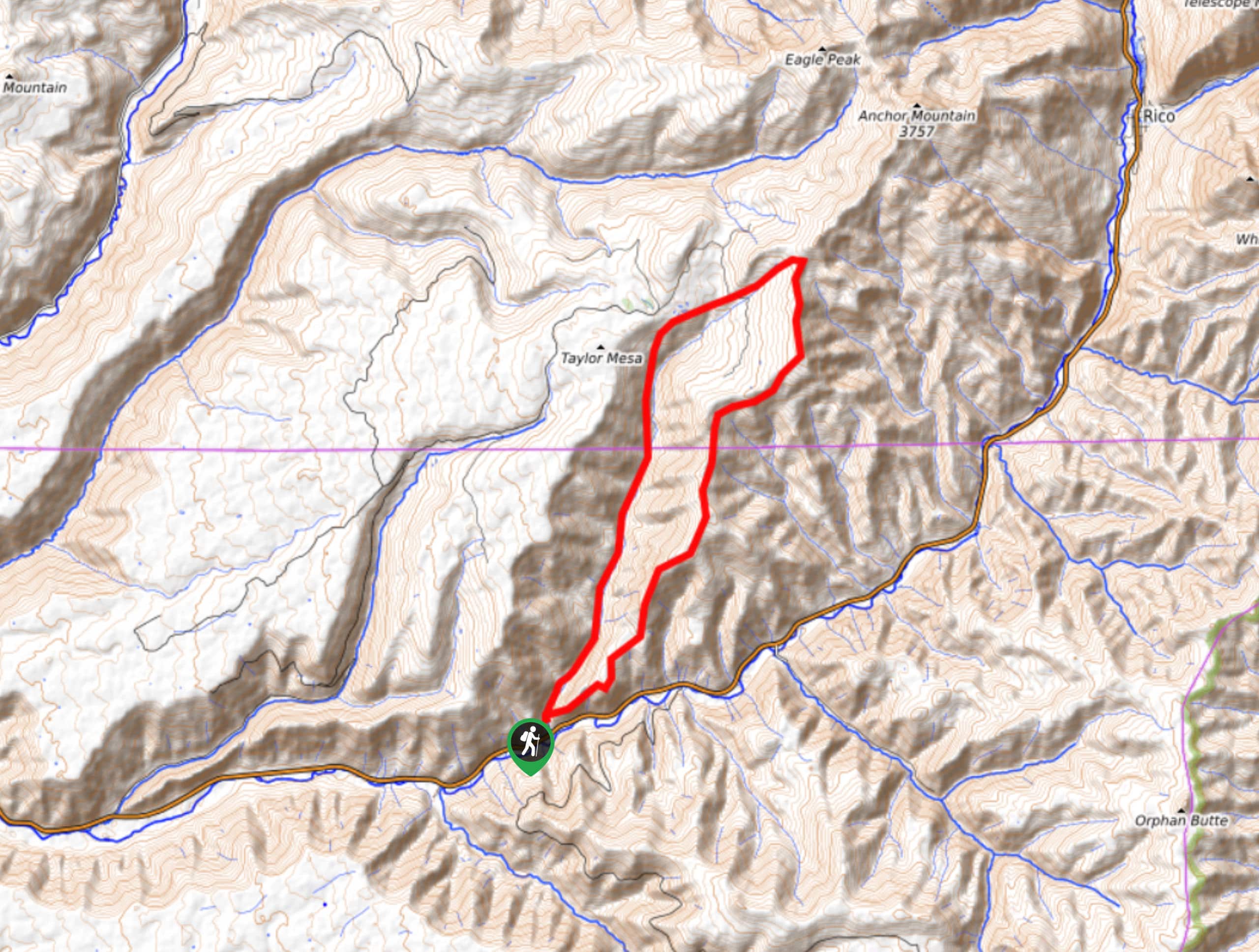
31. Potato Lake via Spud Lake Trail
Difficulty
Hiking to Potato Lake via Spud Lake Trail is a great little adventure in the… Read More
32. Sunlight Peak via Needle Creek Trail
Difficulty
The hike to Sunlight Peak via Needle Creek Trail is a challenging adventure in Colorado… Read More
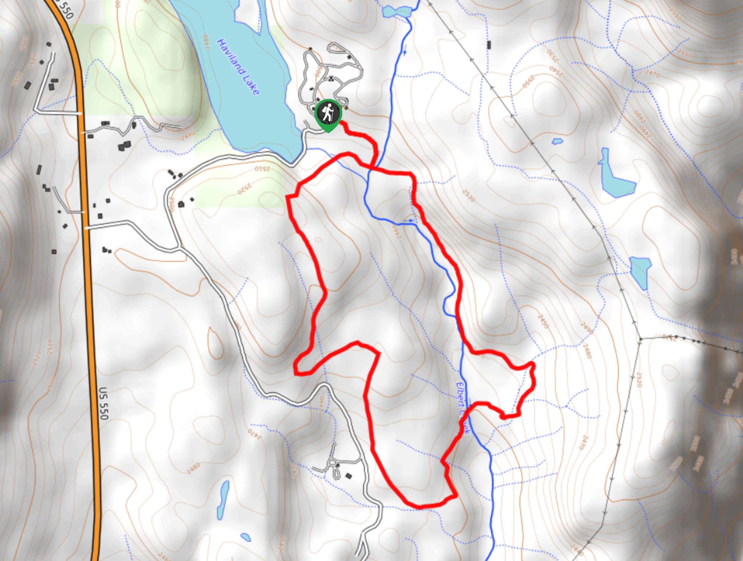
33. Haviland Lake Trail
Difficulty
The Haviland Lake Trail is a laidback adventure in the San Juan Mountains that will… Read More
34. Highline Trail to Taylor Lake
Difficulty
Hiking the Highline Trail to Taylor Lake is a spectacular adventure in the San Juan… Read More
35. Karni Mata Loop Trail
Difficulty
Hiking the Karni Mata Loop Trail is a fun experience on the edge of Ridgway… Read More
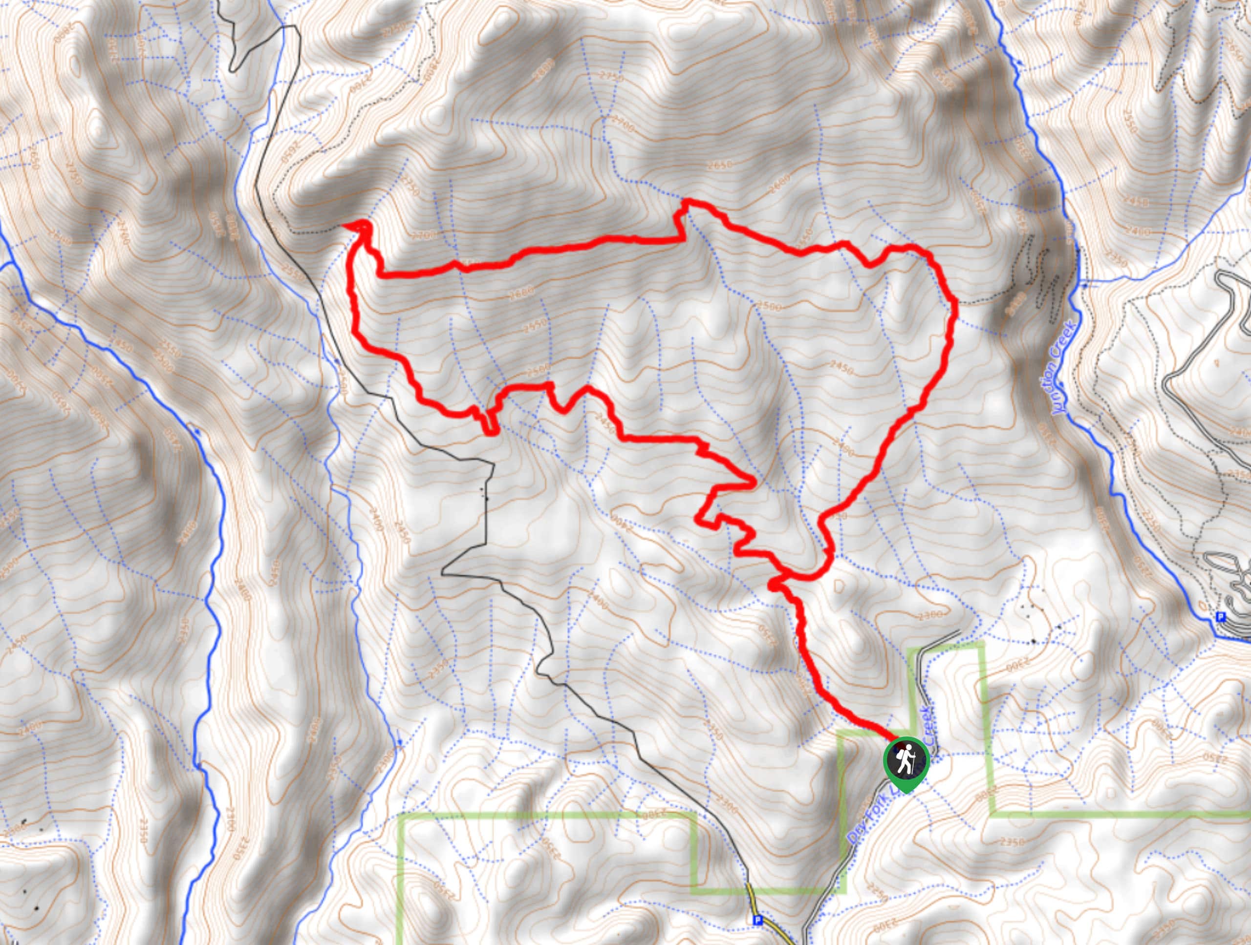
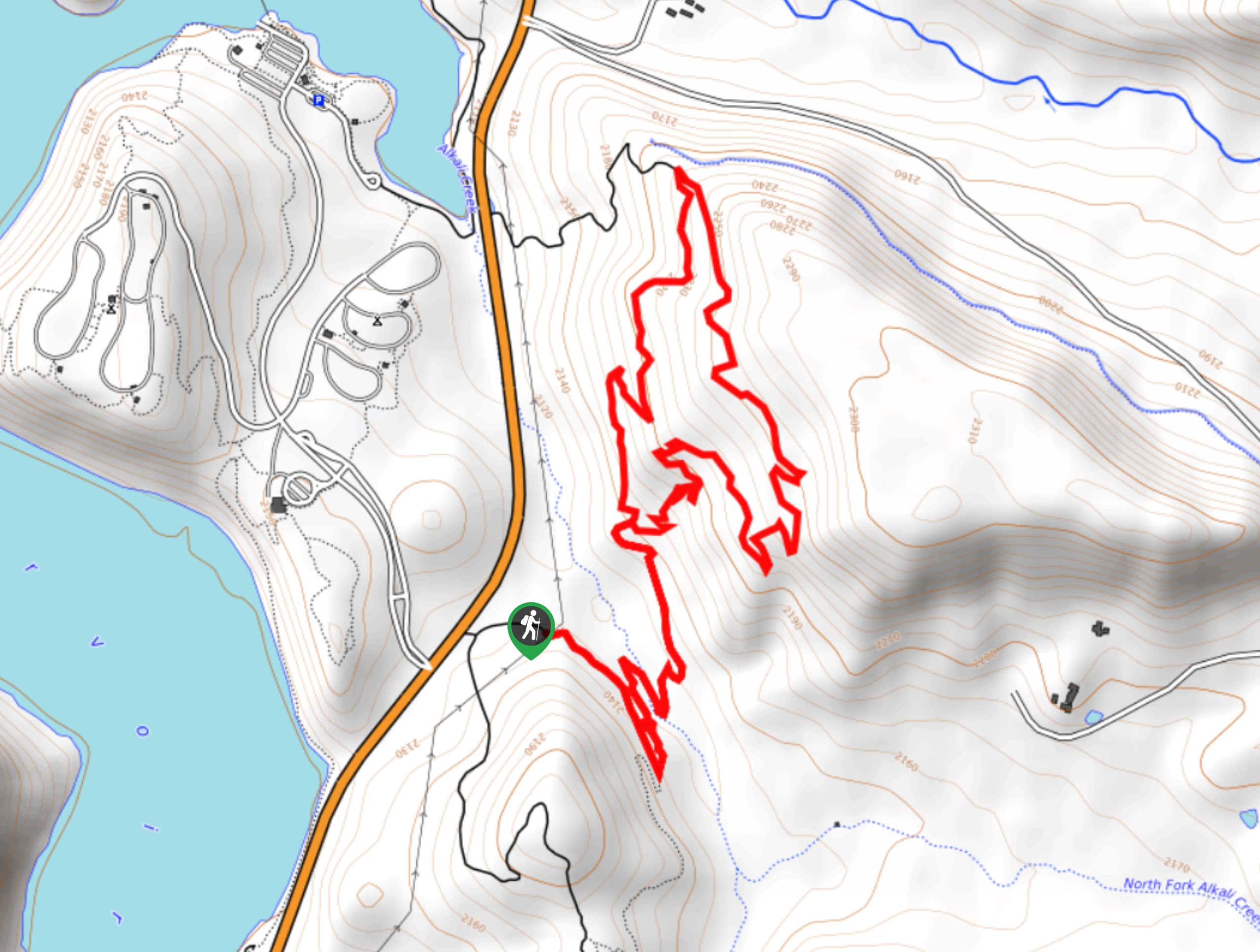
36. Dry Fork Loop Trail
Difficulty
The Dry Fork Loop Trail is a great intermediate length hiking route near Durango, Colorado… Read More
37. American Basin Trail
Difficulty
The American Basin Trail is a quick, albeit fairly steep, hiking route in Colorado that… Read More
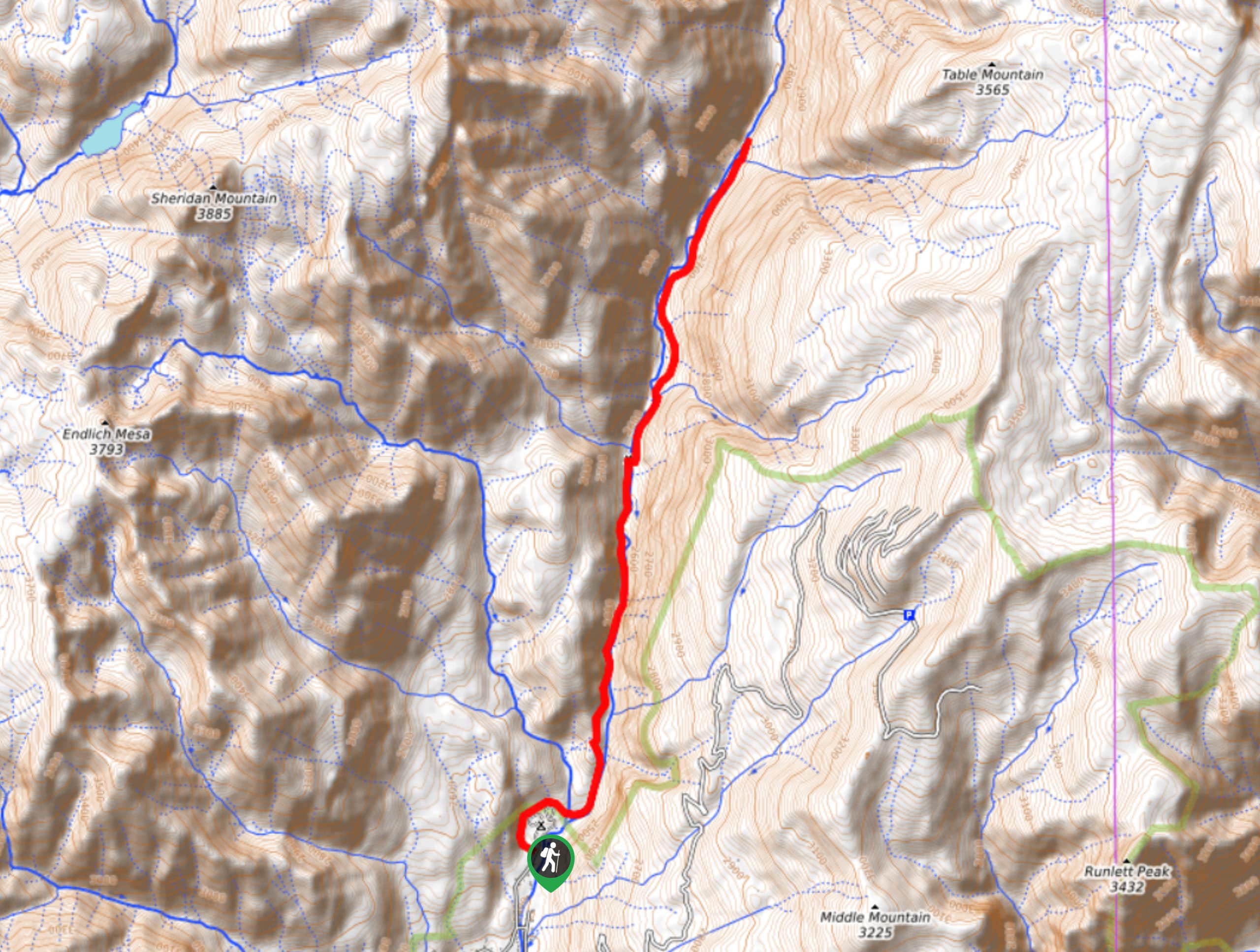
38. Animas River Trail
Difficulty
The Animas River Trail is an awesome hiking route in Durango, Colorado that will take… Read More
39. Soaring Hawks Hike
Difficulty
The Soaring Hawks Hike is a fairly quick and easy adventure in Durango, Colorado that… Read More
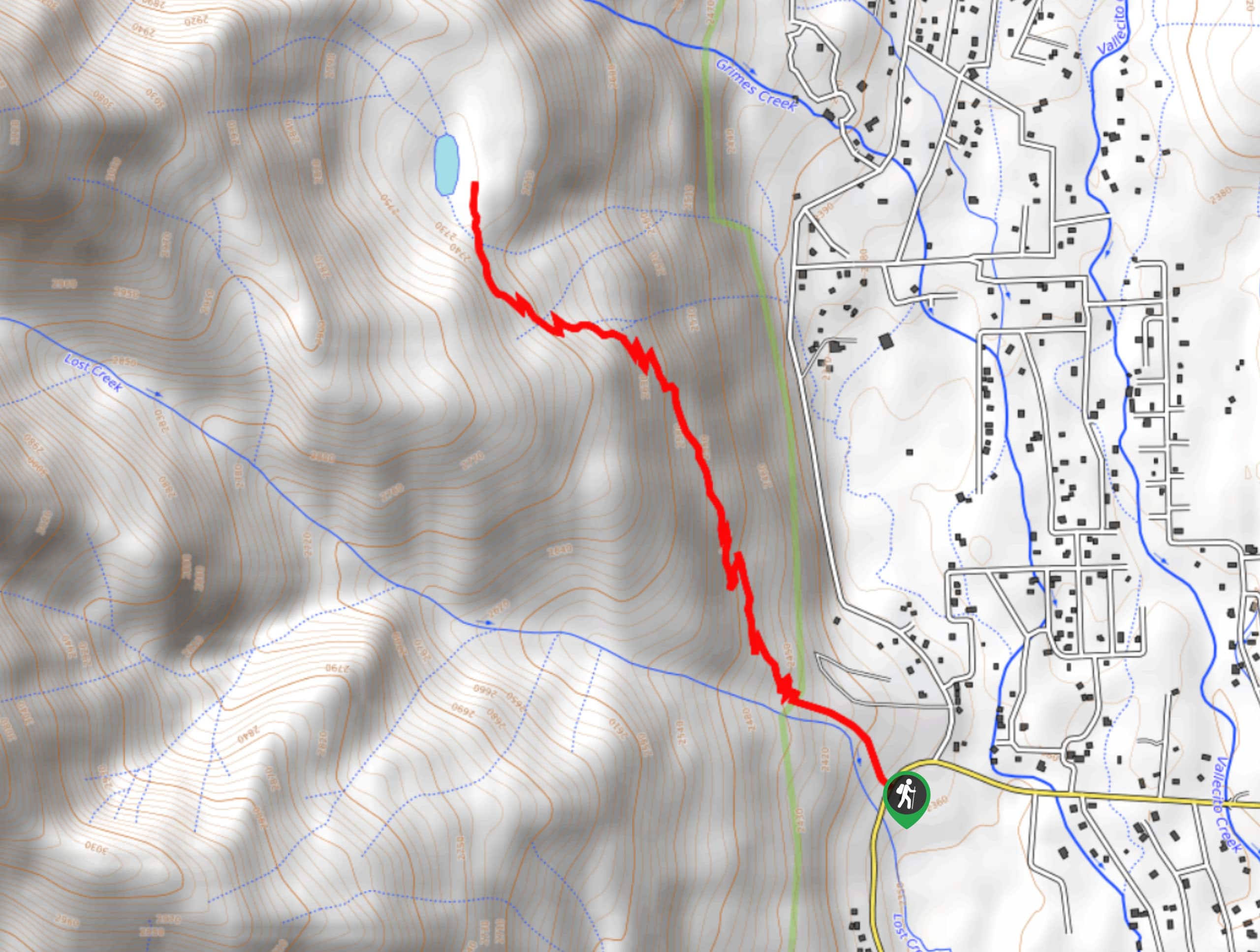
40. Vallecito Creek Trail
Difficulty
The Vallecito Creek Trail is a long and fairly easy-going hiking route in the San… Read More
41. Opal Lake Trail
Difficulty
The Opal Lake Trail is a laidback adventure in Colorado that will lead you through… Read More
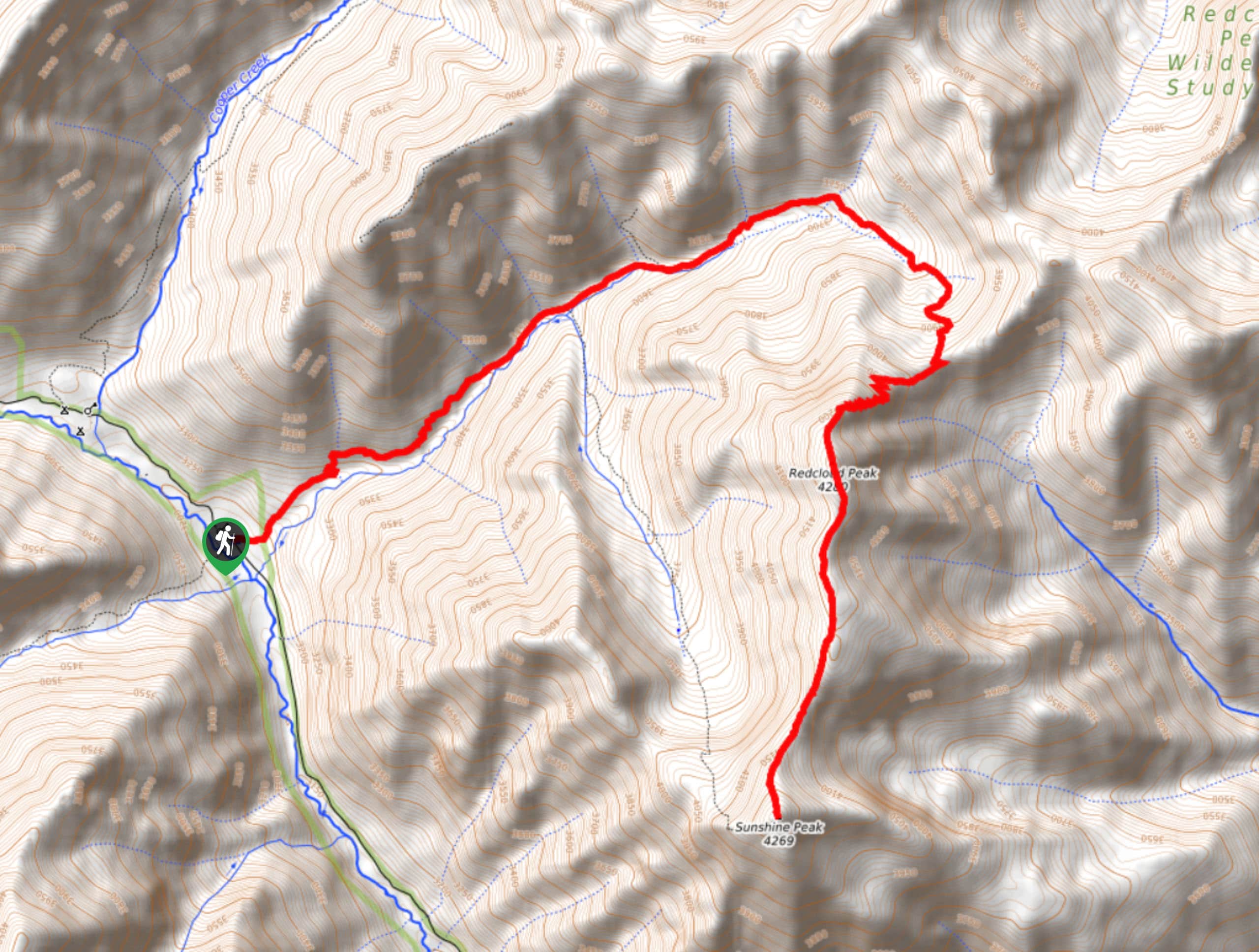
42. Redcloud and Sunshine Peaks Hike
Difficulty
The Redcloud and Sunshine Peaks Hike is a breathtaking, albeit challenging, adventure in the San… Read More
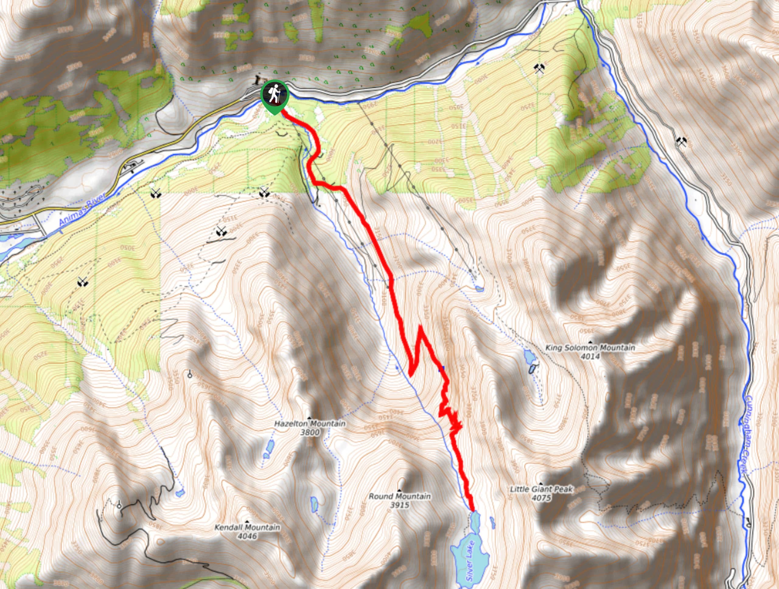
43. Silver Lake Trail
Difficulty
The Silver Lake Trail is a challenging hiking route in the San Juan Mountains that… Read More
44. Sheep Creek Hot Springs Hike
Difficulty
The Sheep Creek Hot Springs Hike is a great family-friendly adventure in the San Juan… Read More
45. Coal Bank Pass to Engineer Mountain Summit Hike
Difficulty
The Coal Bank Pass to Engineer Mountain Summit Hike is a difficult route in Colorado… Read More
46. Shallow Creek Trail #897
Difficulty
The Shallow Creek Trail is a laidback adventure in the San Juan Mountains of Colorado… Read More
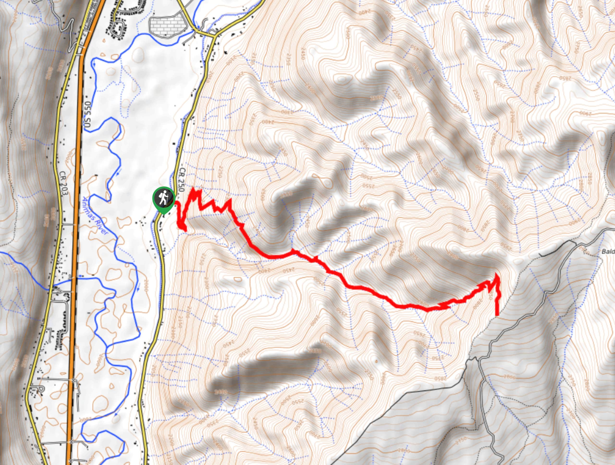
47. Baldy Peak Hike
Difficulty
The Baldy Peak Hike is a great adventure in the San Juan Mountains that will… Read More
48. Duck Lake Trail
Difficulty
The Duck Lake Trail is a fantastic hiking route in Colorado that will take you… Read More
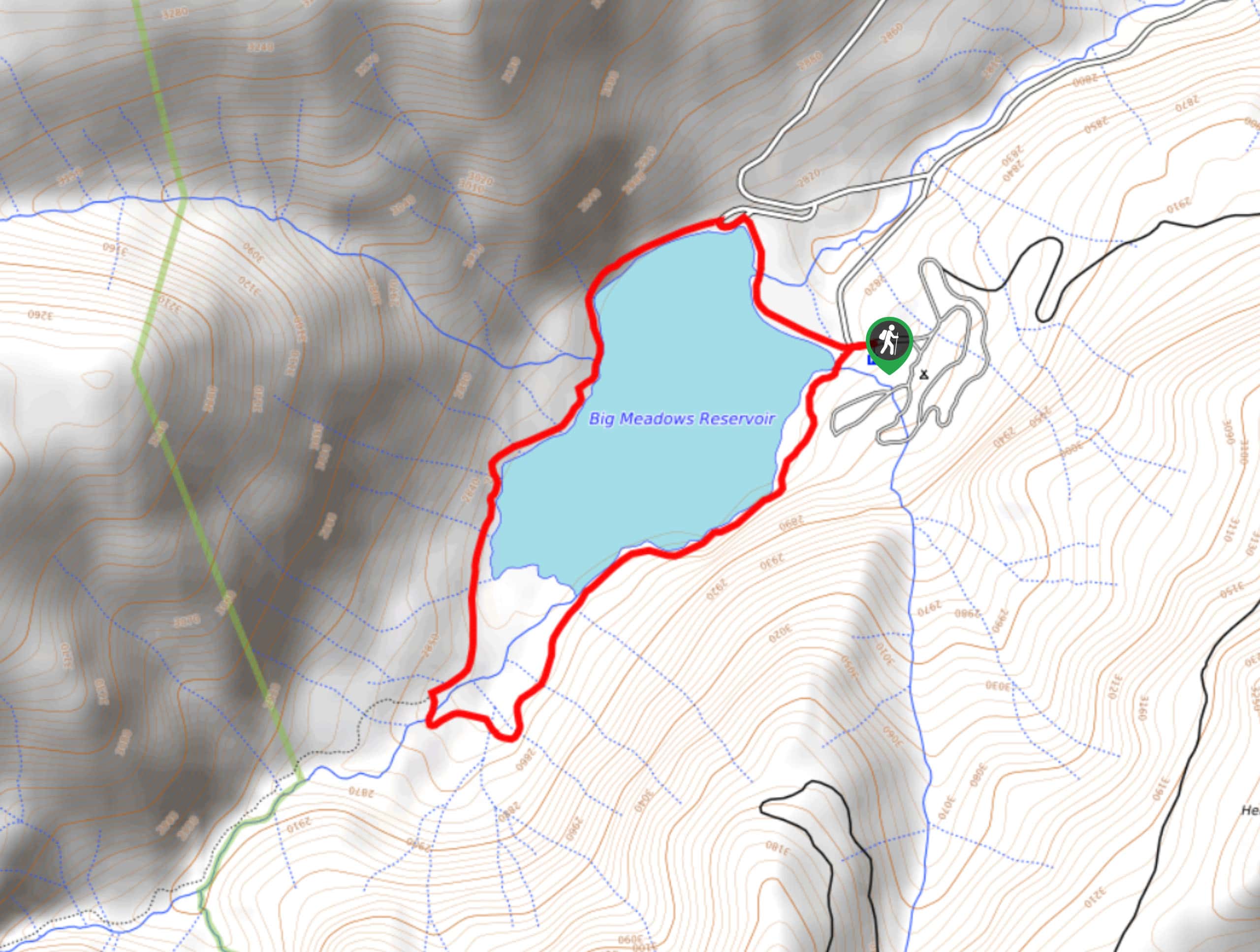
49. Big Meadows Reservoir Trail
Difficulty
The Big Meadows Reservoir Trail is an amazing family-friendly hiking route in Colorado that will… Read More
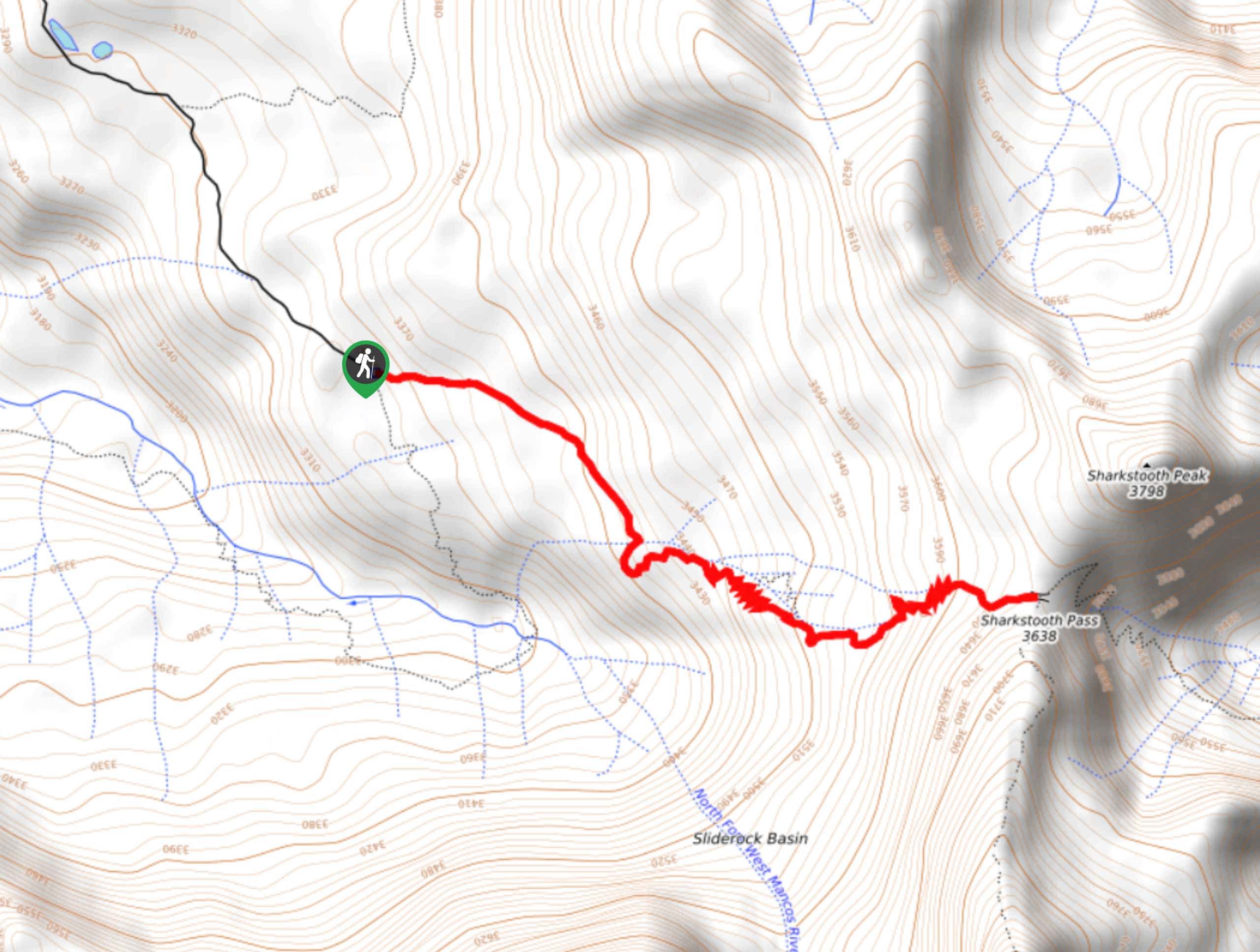
50. Sharkstooth Pass Trail
Difficulty
The Sharkstooth Pass Trail is a short but challenging hiking route in the San Juan… Read More
51. Hermosa Creek Trail
Difficulty
The Hermosa Creek Trail is a long-distance hiking route in the San Juan Mountains of… Read More
52. Boggy Draw Trail
Difficulty
Hiking the Boggy Draw Trail is a laid back experience in Colorado that will take… Read More
53. Elk Creek Trail
Difficulty
Hiking the Elk Creek Trail is a fantastic experience in Colorado that will take you… Read More
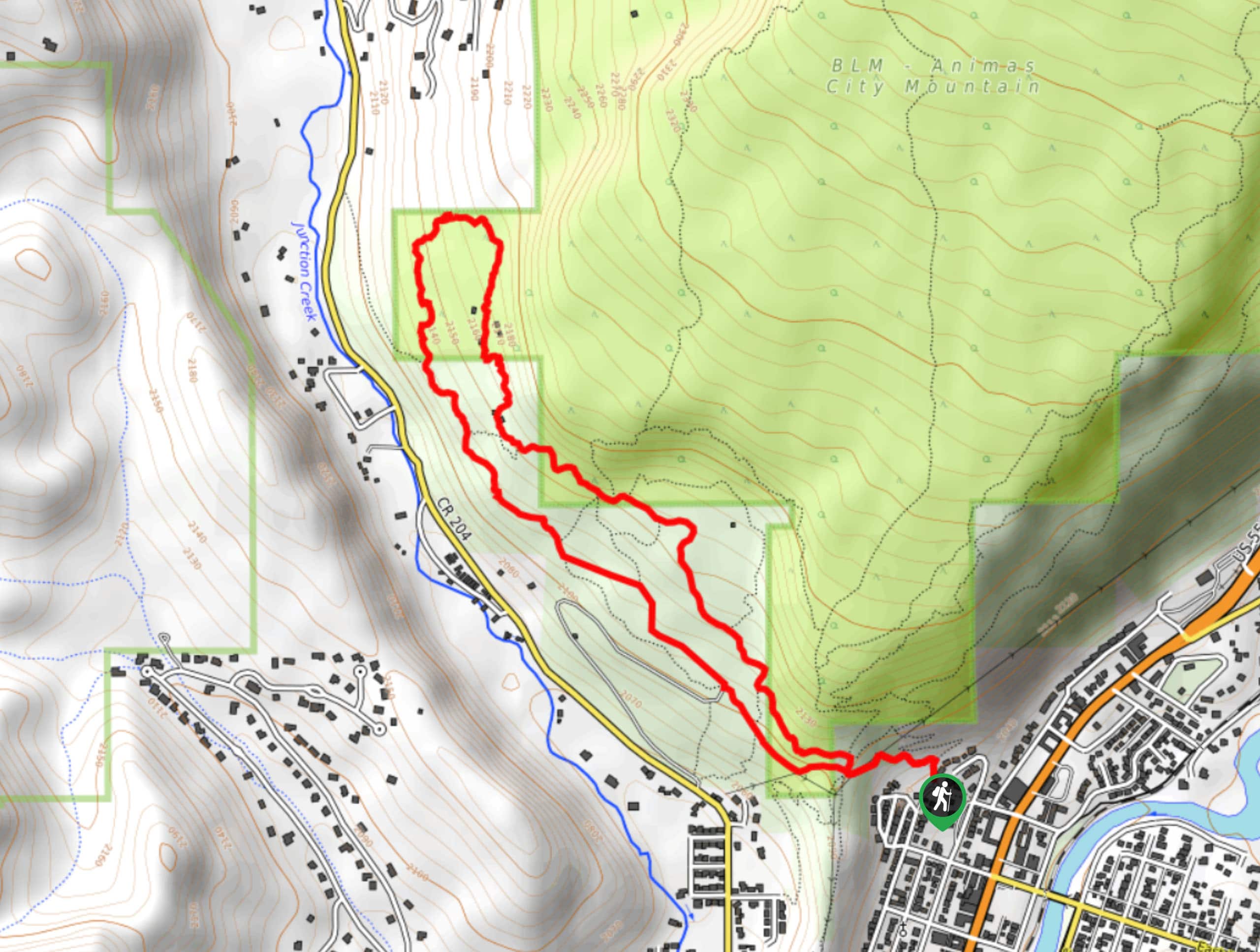
54. Animas Mountain Trail
Difficulty
The Animas Mountain Trail is a fantastic hiking route in the city of Durango, Colorado… Read More
55. Fourmile Falls Hike
Difficulty
The Fourmile Falls Hike is a breathtaking adventure near Pagosa Springs that will take you… Read More
56. Castle Rock via Elbert Creek Trail
Difficulty
The Castle Rock via Elbert Creek Trail is a fantastic hiking route in the San… Read More
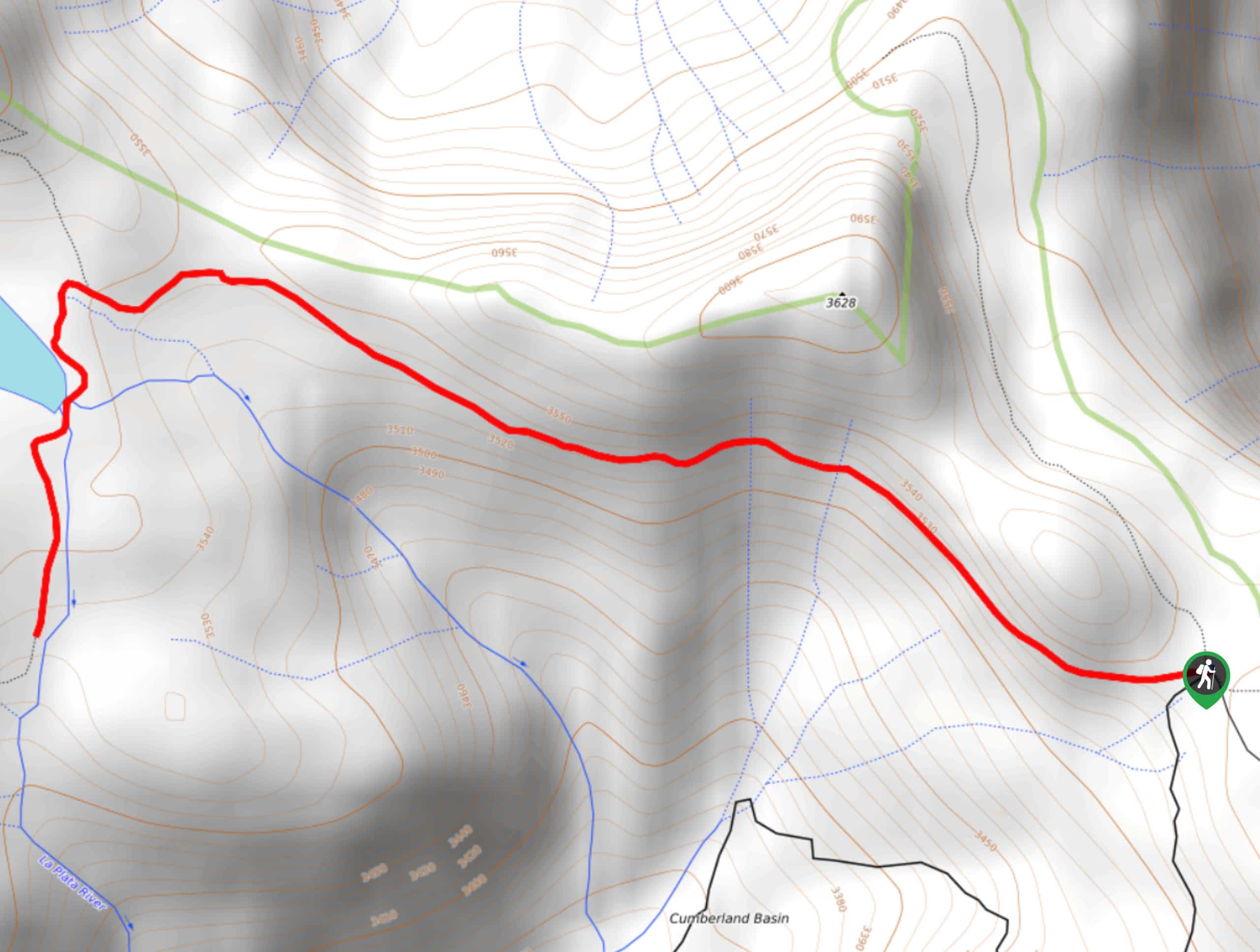
57. Blue Lakes Pass via Yankee Boy Basin Hike
Difficulty
The Blue Lakes Pass via Yankee Boy Basin hike is a tough, yet beautifully scenic… Read More
58. Colorado Trail to Gudy’s Rest
Difficulty
The Colorado Trail to Gudy’s Rest is a fantastic hiking route near Durango, Colorado that… Read More
59. Deep Creek Trail
Difficulty
The Deep Creek Trail is an amazing hiking route near Telluride, Colorado that will take… Read More
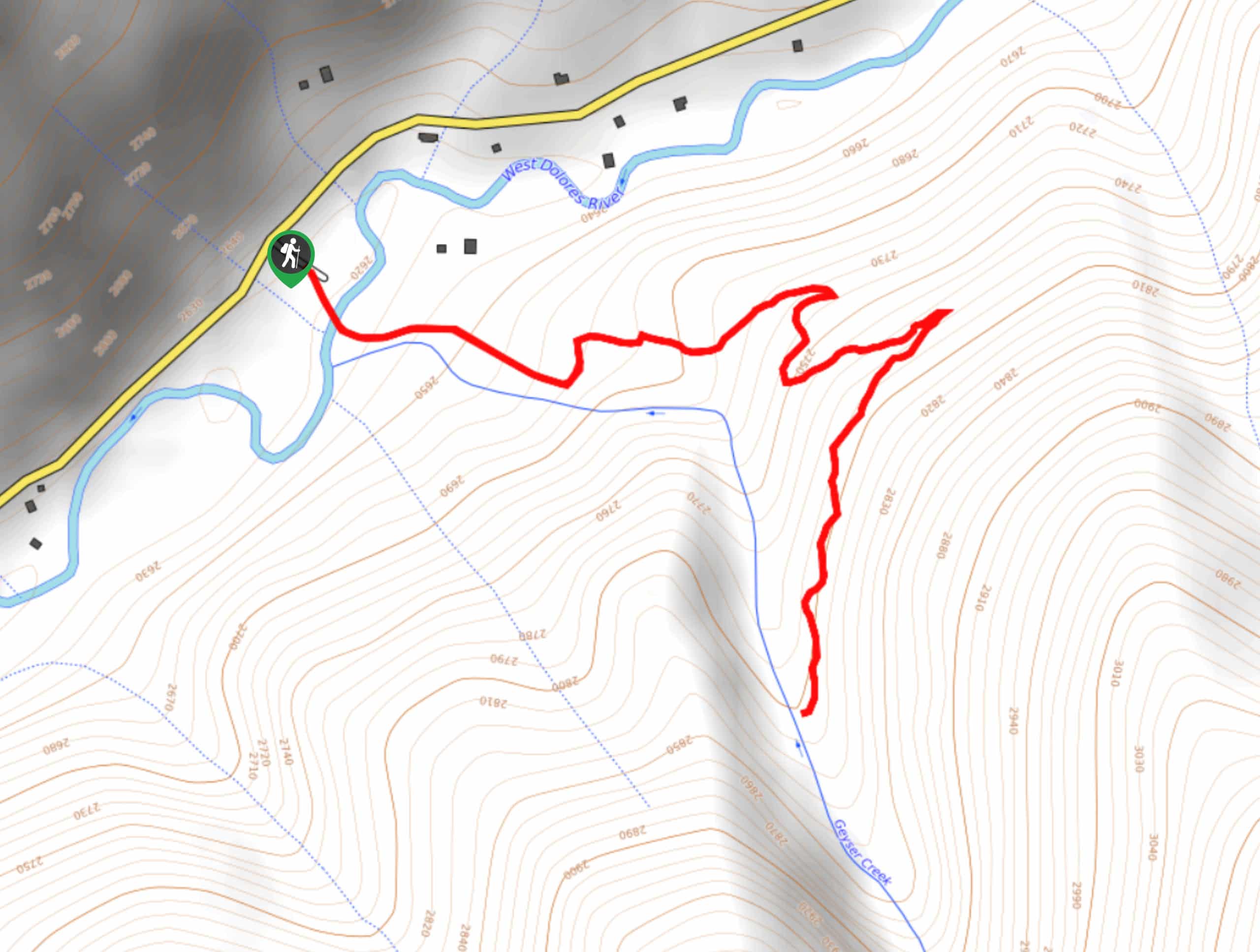
60. Geyser Trail
Difficulty
The Geyser Trail is a great family-friendly route in Colorado that will take you uphill… Read More
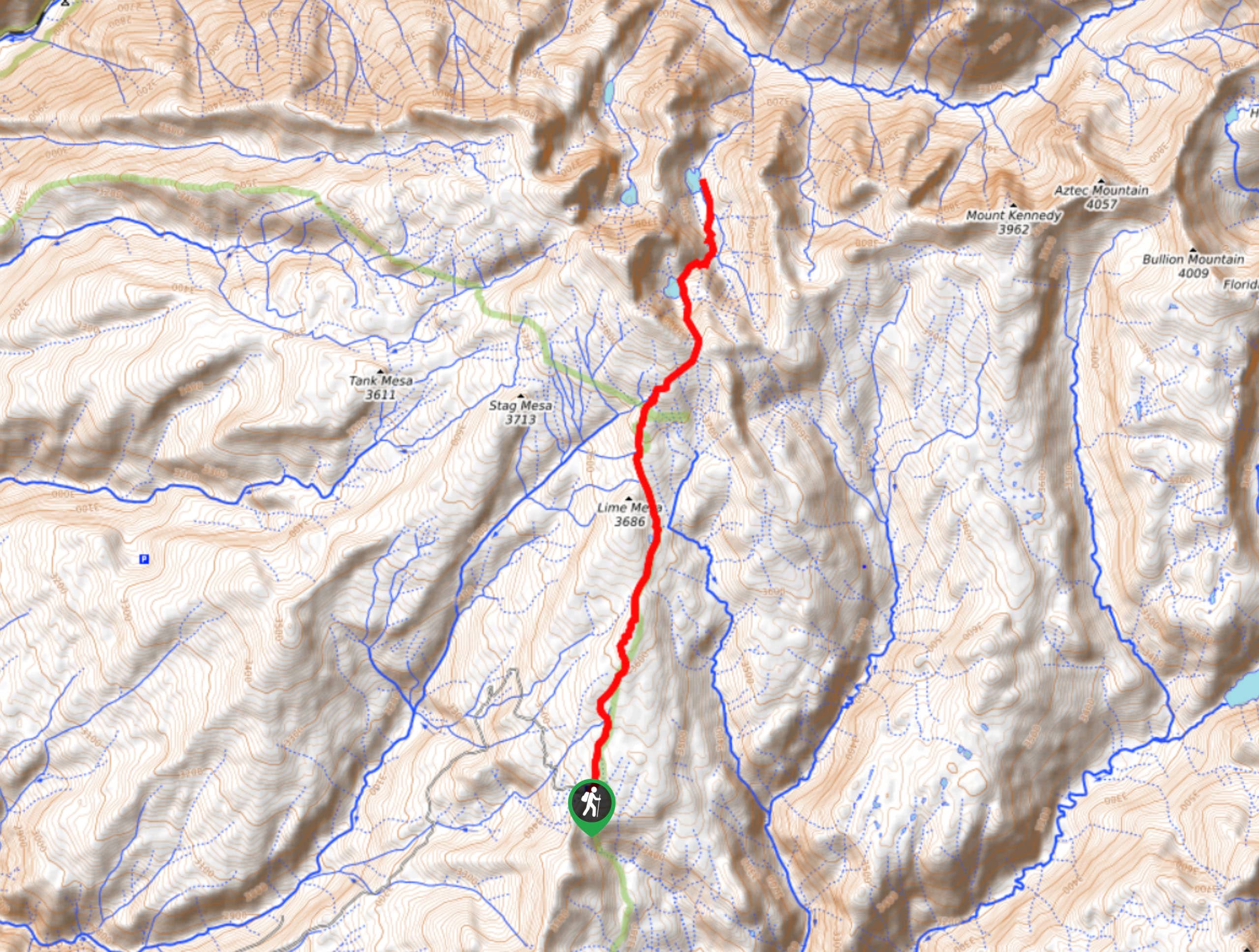
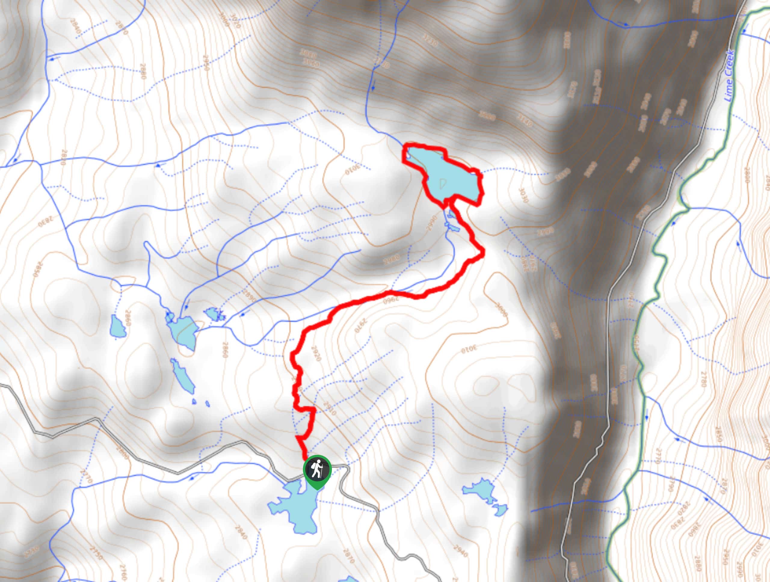
61. Lime Mesa to Ruby Lake Hike
Difficulty
The Lime Mesa to Ruby Lake Hike is a long and difficult route in the… Read More
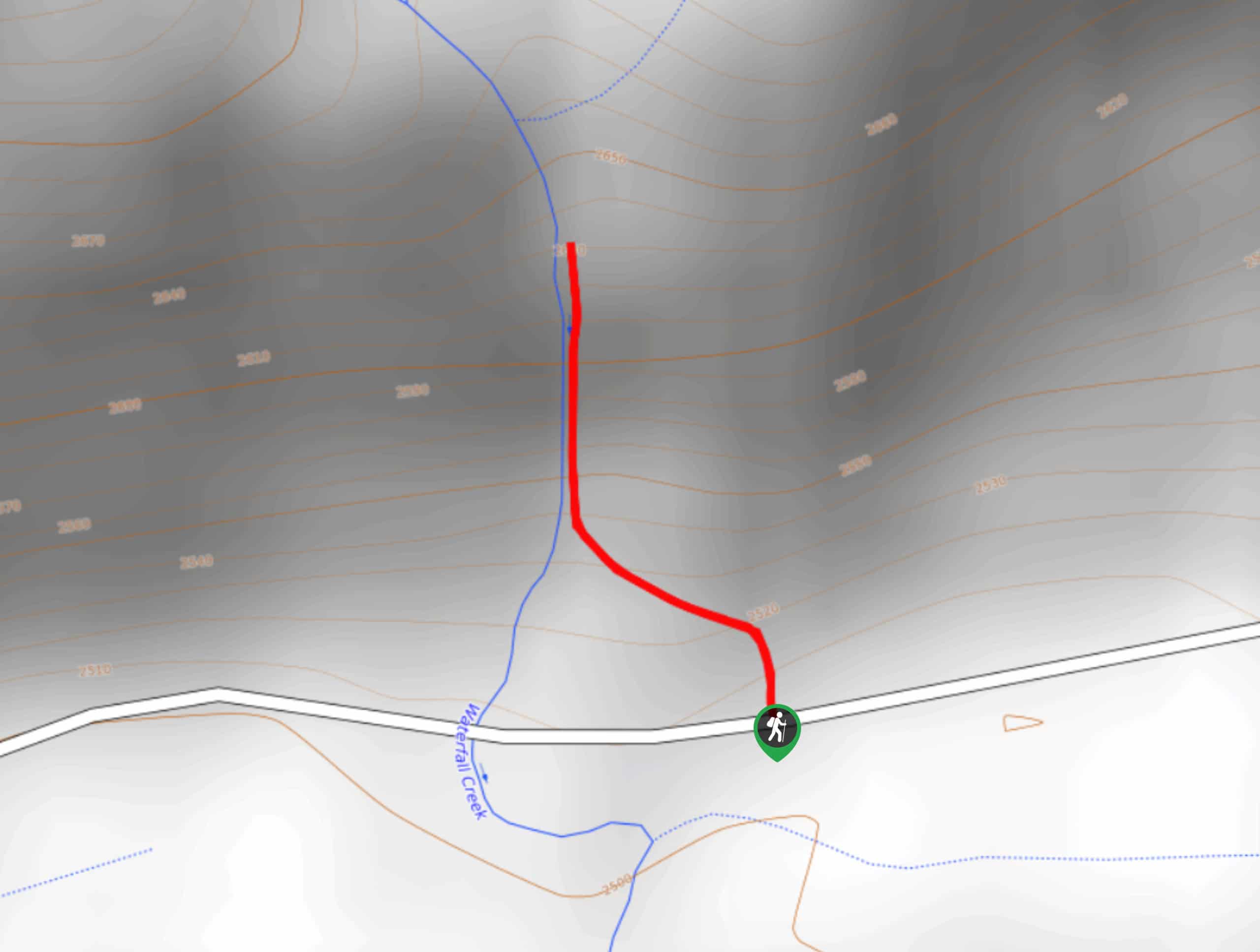
62. Silver Falls Hike
Difficulty
The Silver Falls Hike is an amazingly scenic route in the San Juan Mountains of… Read More
63. Four Mile Creek and Anderson Trail Loop
Difficulty
The Four Mile Creek and Anderson Trail Loop is a challenging route north of Pagosa… Read More
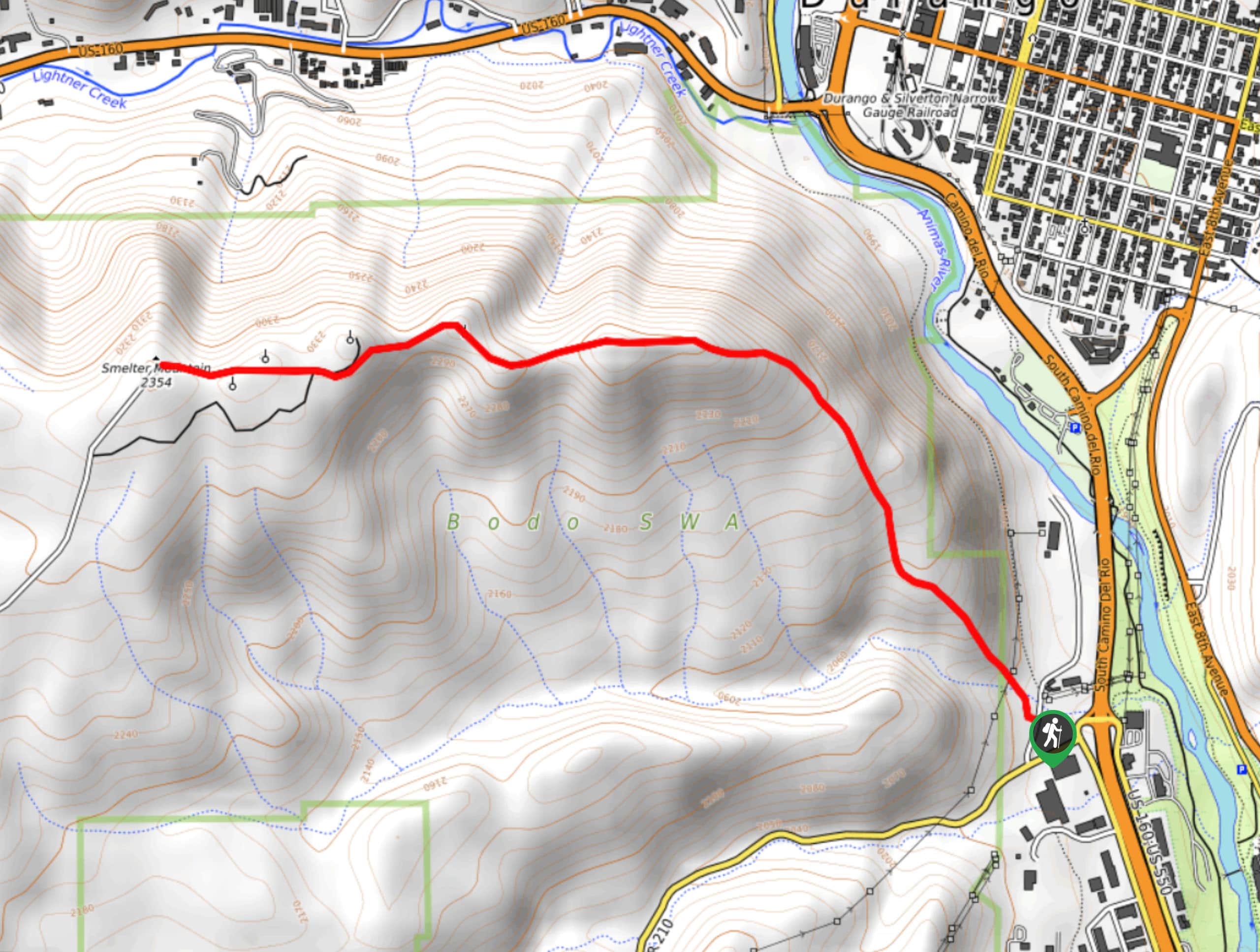
64. Smelter Mountain Trail
Difficulty
The Smelter Mountain Trail is a stunning hike in the San Juan Mountains that offers… Read More
65. West Fork to Courthouse Mountain Hike
Difficulty
The West Fork to Courthouse Mountain Hike is a short but difficult adventure in the… Read More
66. Centennial Peak Hike
Difficulty
The Centennial Peak Hike is a physically challenging adventure in the San Juan Mountains that… Read More
67. Wright Lake Hike
Difficulty
The Wright Lake Hike is a short adventure in Colorado that will lead you up… Read More
68. Up and Over Trail
Difficulty
The Up and Over Trail is an amazing hiking route in Creede, Colorado that will… Read More
69. Church Camp Trail
Difficulty
The Church Campo Trail is an easy-going hike near Durango Colorado that features waterfall views… Read More
70. Perins Peak Hike
Difficulty
The Perins Peak Hike is a fantastic adventure in Durango that climbs up a rugged… Read More
71. Crater Lake Trail
Difficulty
The Crater Lake Trail is a fantastic long-distance hiking route in Colorado that will take… Read More
72. Lake Eileen Trail
Difficulty
The Lake Eileen Trail is a relatively short and steep hiking route near Vallecito that… Read More
73. Windy Pass Trail
Difficulty
The Windy Pass Trail is a great excursion near Pagosa Springs, Colorado that will take… Read More
74. Cutler Creek Trail
Difficulty
The Cutler Creek Trail is a pleasant hiking route in Colorado that will take into… Read More
75. Lobo Overlook Hike
Difficulty
The Lobo Overlook Hike is a fantastic adventure in Colorado that offers scenic views of… Read More
76. Beaver Mountain Trail
Difficulty
Hiking the Beaver Mountain Trail is a fun experience in Colorado that will take you… Read More
77. Alberta Peak Hike
Difficulty
The Alberta Peak Hike is a wonderful excursion in the San Juan Mountains that will… Read More
78. Molas Lake to Animas River Hike
Difficulty
The Molas Lake to Animas River Hike is a great outdoor adventure in the San… Read More
79. Coyote Hill Loop Trail
Difficulty
The Coyote Hill Loop Trail is an excellent walking route near Pagosa Springs, Colorado that… Read More
80. Animas Overlook Trail
Difficulty
The Animas Overlook Trail is a short and sweet hiking route in the San Juan… Read More
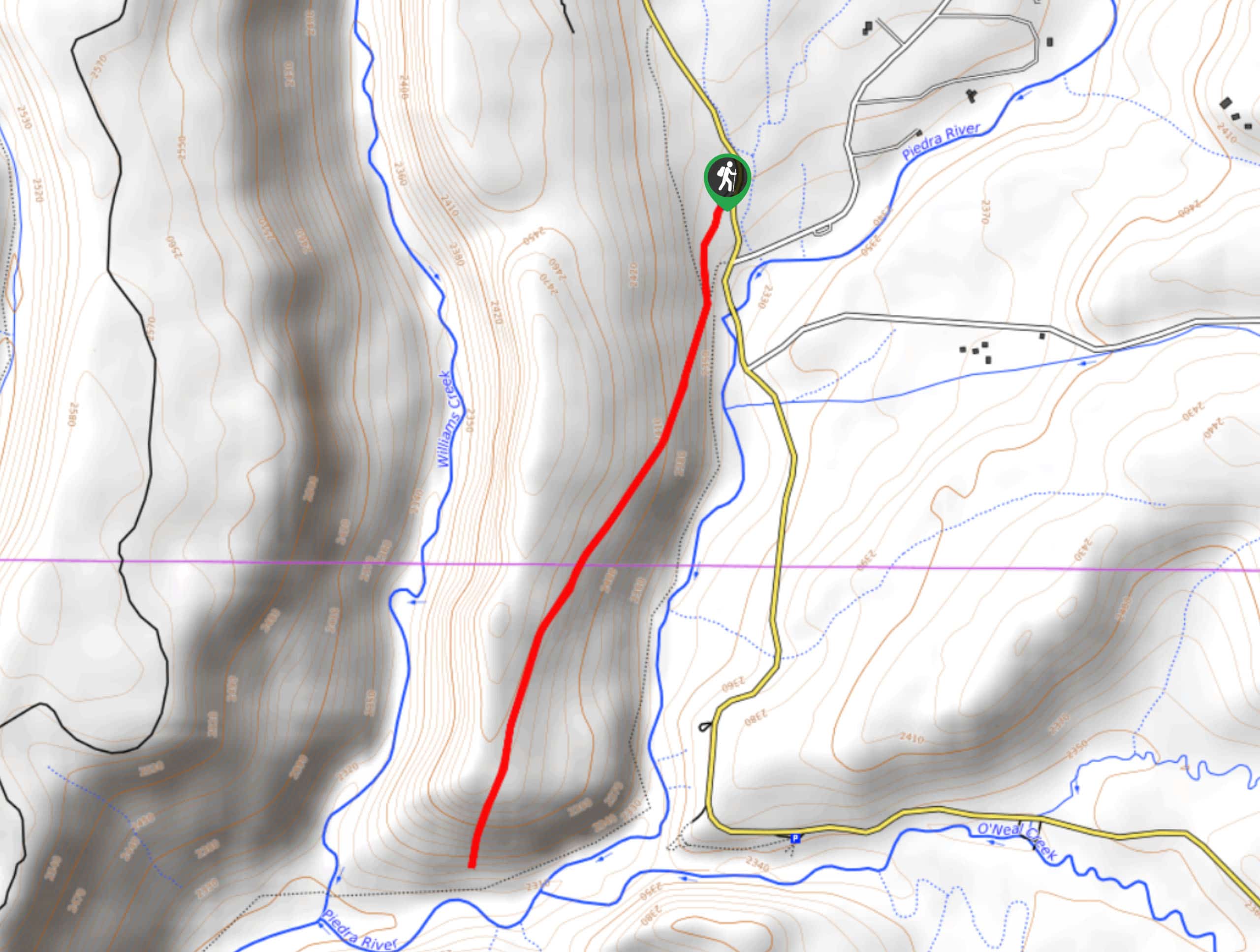
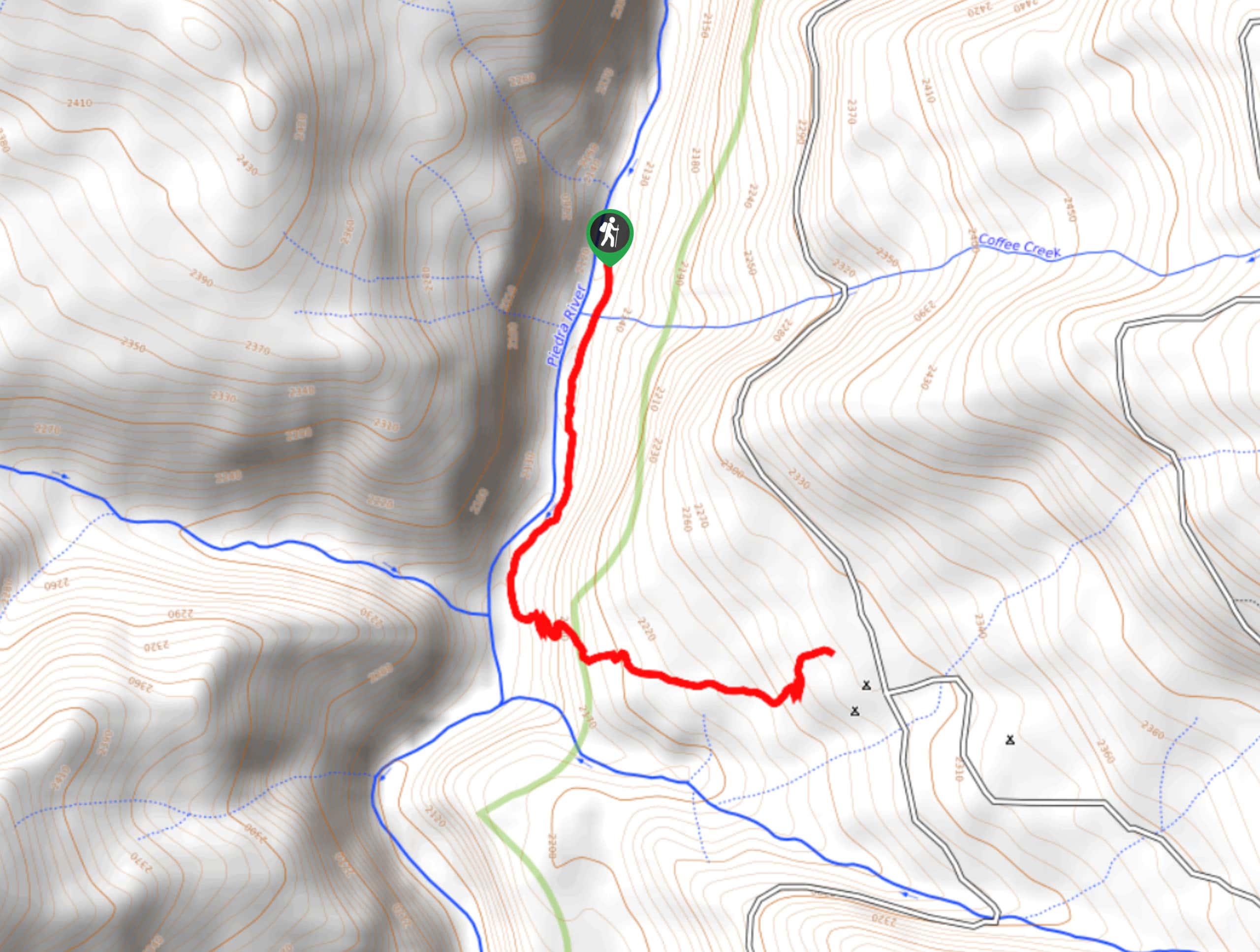
81. Piedra Ice Fissures Trail
Difficulty
The Piedra Ice Fissures Trail is an amazing hiking route in the San Juan Mountains… Read More
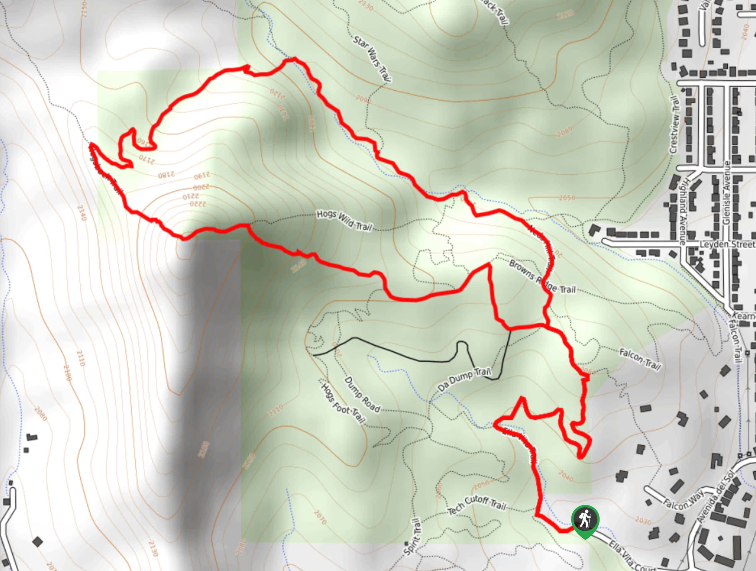
82. Ella Vita, Hogsback, and Slime Gulch Loop
Difficulty
The Ella Vita, Hogsback, and Slime Gulch Loop is a fun hiking route in Durango,… Read More
83. Quartz Lake Trail
Difficulty
The Quartz Lake Trail is an exceptional hiking route in the San Juan Mountains that… Read More
84. Ophir Pass to Crystal Lake Hike
Difficulty
The Ophir Pass to Crystal Lake Hike is a short and exhilarating adventure in the… Read More
85. Haflin Creek Hike
Difficulty
The Haflin Creek Hike is a tough excursion near Durango, Colorado that features plenty of… Read More
86. V2 and Ice Lake Basin Hike
Difficulty
The V2 and Ice Lake Basin Hike is a tough climb into the San Juan… Read More
87. Bullion King Lake Road Hike
Difficulty
The Bullion King Lake Road Hike is a laidback hiking adventure in the mountains that… Read More
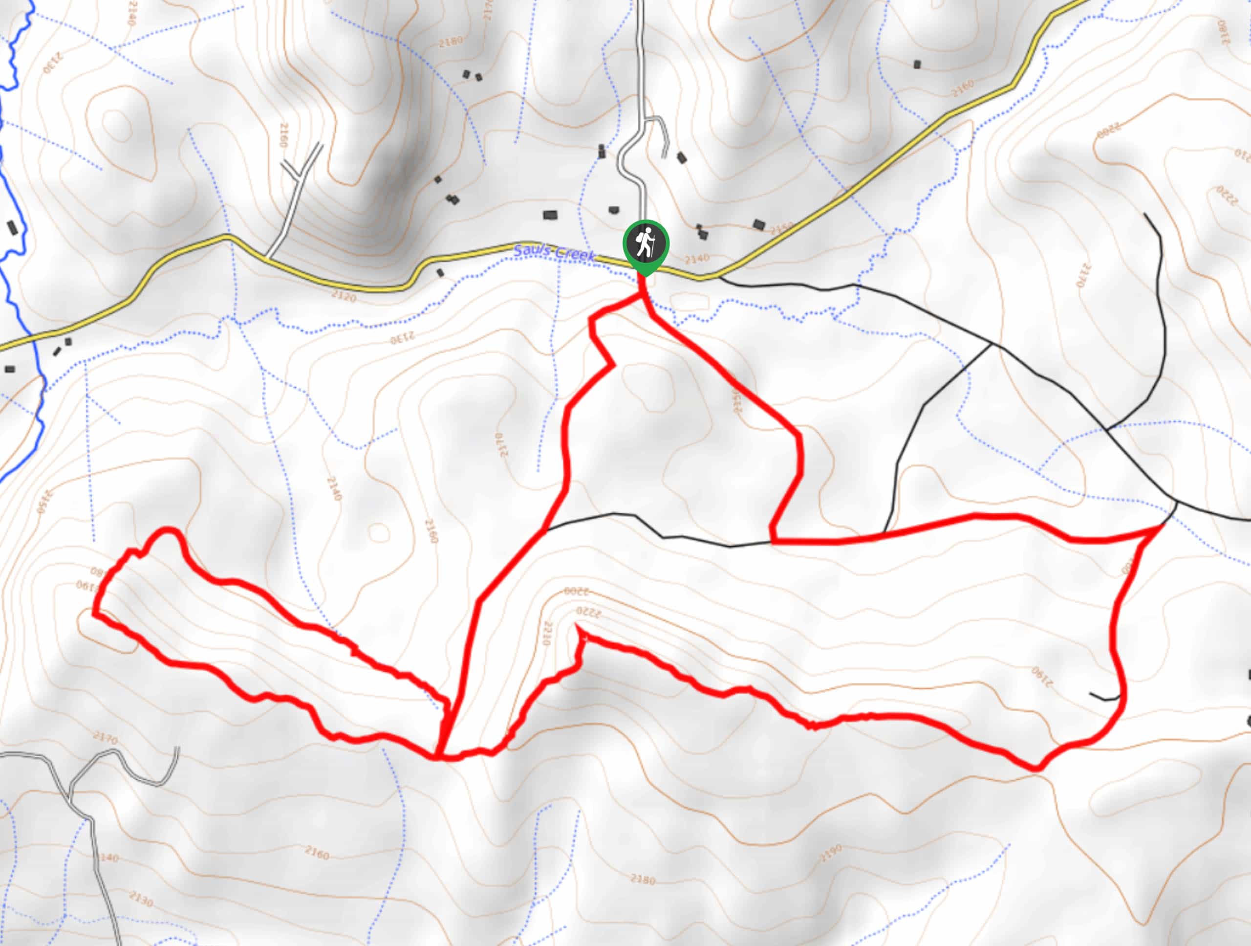
88. Sauls Creek Trail
Difficulty
The Sauls Creek Trail is a great family-friendly excursion near Bayfield, Colorado that will take… Read More
89. Rattus Maximus, Rat Trap, and Big Cheese Loop Trail
Difficulty
The Rattus Maximus, Rat Trap, and Big Cheese Loop Trail is a fun adventure near… Read More
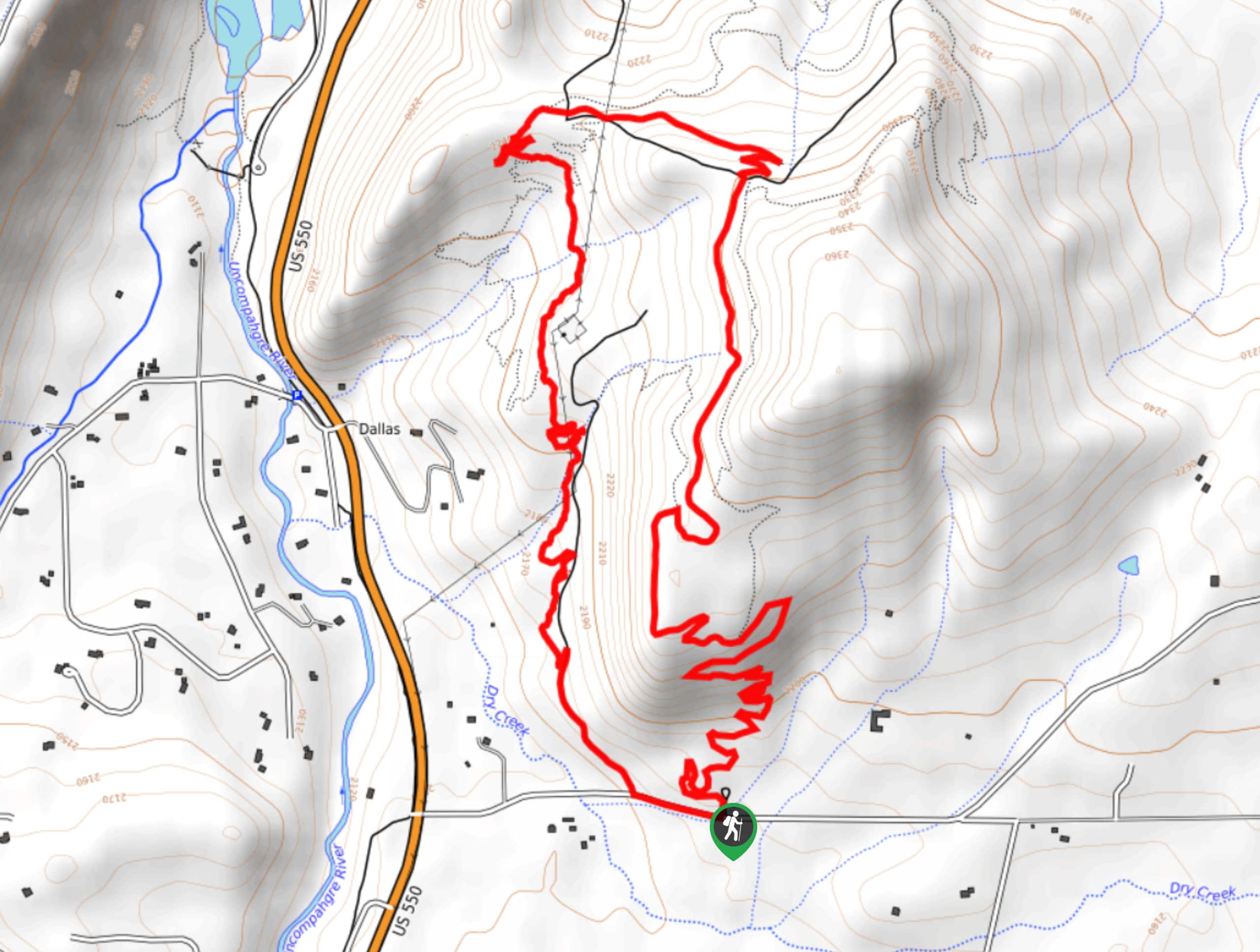
90. Uncompahgre Riverwalk Trail
Difficulty
The Uncompahgre Riverwalk Trail is a fantastic hiking route in Ridgway, Colorado that will take… Read More

91. Wetterhorn Basin via West Fork Trail
Difficulty
The Wetterhorn Basin via West Fork Trail is a breathtaking hiking excursion in the San… Read More
92. Waterdog Lake Trail
Difficulty
The Waterdog Lake Trail is a wonderfully scenic hiking route in the San Juan Mountains… Read More
93. Crystal Lake Trail
Difficulty
The Crystal Lake Trail is a beautifully scenic, albeit very challenging, hiking route in Lake… Read More
94. Thompson Lake Hike
Difficulty
The Thompson Lake Hike is an excellent adventure in the San Juan Mountains that will… Read More
95. Inspiration Point Loop Trail
Difficulty
The Inspiration Point Loop Trail is a fairly steep hiking route in the town of… Read More
96. Williams Creek Camp Trail
Difficulty
The Williams Creek Camp Trail is a fantastic hiking route in Colorado that will lead… Read More
97. Alder Bench Trail
Difficulty
The Alder Bench Trail is a fun hiking route South Fork, Colorado that features some… Read More
98. Stone Quarry Loop Hike
Difficulty
The Stone Quarry Loop Hike is a rugged excursion southeast of Del Norte, Colorado that… Read More
99. Lookout Mountain Trail
Difficulty
The Lookout Mountain Trail is a fantastic adventure in Del Norte, Colorado that will take… Read More
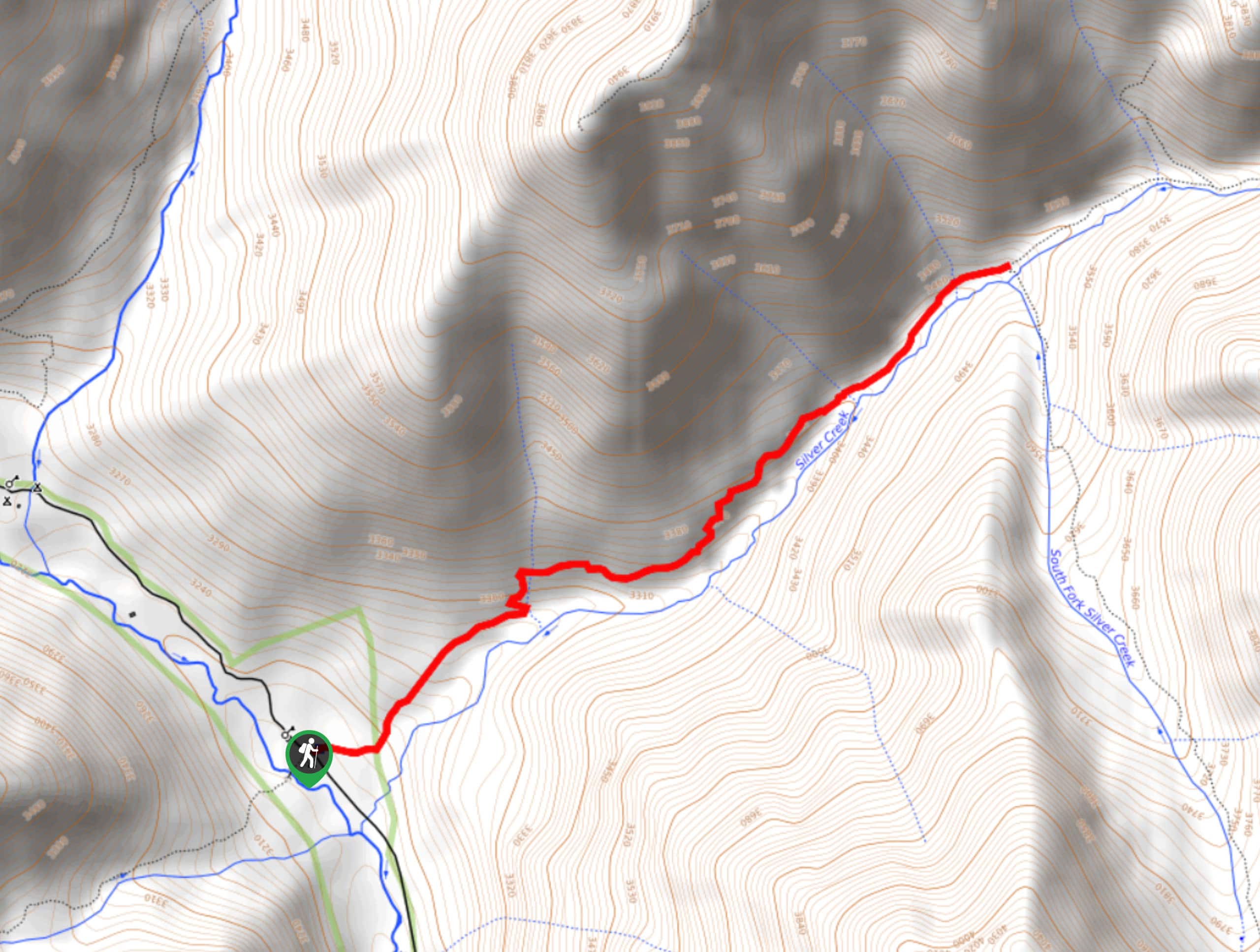
100. Silvercreek Trail
Difficulty
The Silvercreek Trail is an amazing adventure in the San Juan Mountains of Colorado that… Read More
101. Handies Peak from Silver Creek/Grizzly Gulch
Difficulty
Hiking up to Handies Peak from Silver Creek/Grizzly Gulch is a spectacular adventure that is… Read More
102. Mount Sneffels from the Upper Parking Lot
Difficulty
The hike to Mount Sneffels from the Upper Parking Lot is a shortened version of… Read More
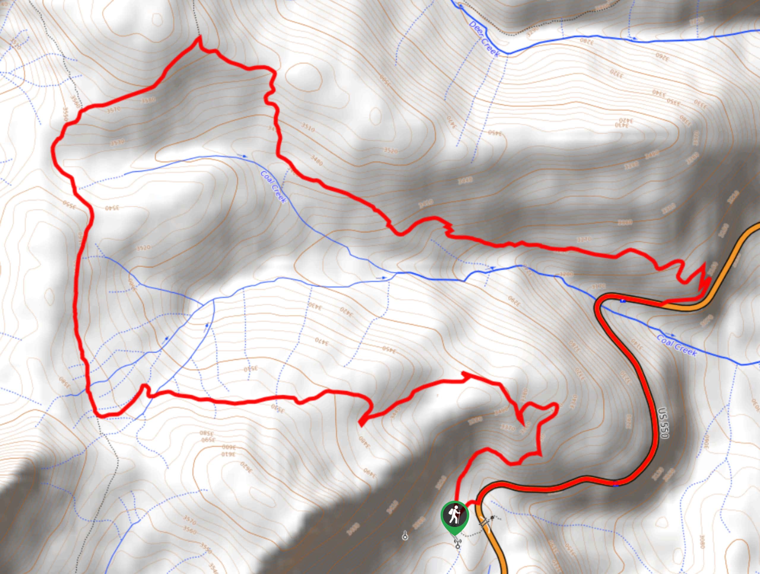
103. Pass Creek and Coal Creek Loop Trail
Difficulty
Hiking the Pass Creek and Coal Creek Loop Trail is an amazing experience in Colorado… Read More
104. Bear Creek Trail
Difficulty
The Bear Creek Trail is a long hiking route in the San Juan Mountains that… Read More
105. Cave Basin Trail
Difficulty
The Cave Basin Trail is a spectacular hiking route in the San Juan Mountains of… Read More
106. Cimarrona Creek Trail #586 Short
Difficulty
The Cimarrona Creek trail #586 Short is a beautifully scenic and physically challenging hiking route… Read More
107. Archuleta Trail and Big Meadows Trail
Difficulty
The Archuleta Trail and Big Meadows Trail is a fantastic hiking adventure in the San… Read More
108. Lake Fork Trail #716
Difficulty
The Lake Fork Trail #716 is a great outdoor adventure in the San Juan Mountains… Read More
109. Middle Frisco Trail
Difficulty
The Middle Frisco Trail is a wonderful adventure in the San Juan Mountains that will… Read More
110. Limekiln Peak Trail
Difficulty
The Limekiln Peak Trail is a fun afternoon hiking trip near Del Norte, Colorado that… Read More
111. Spur Line Trail
Difficulty
The Spur Line Trail is a fun multi-use route near Durango, Colorado that will take… Read More
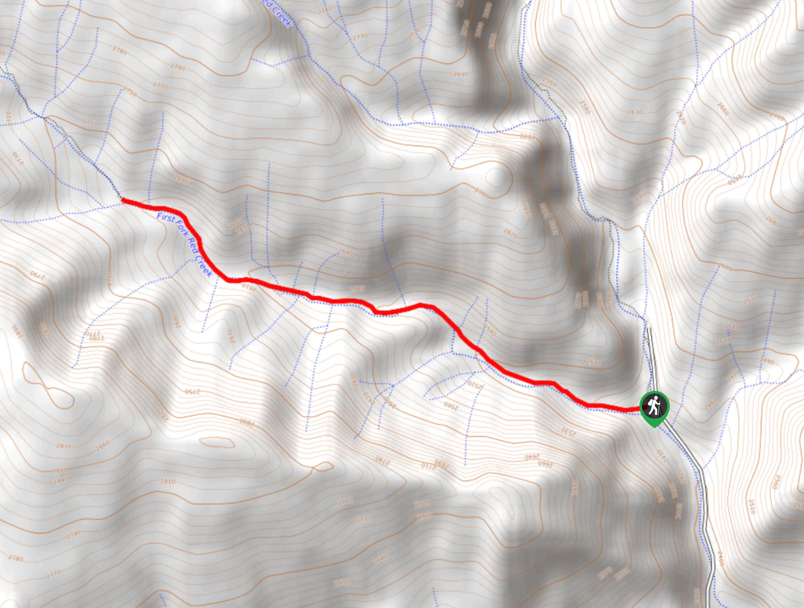
112. First Fork Trail
Difficulty
The First Fork Trail is a fantastic adventure in the San Juan Mountains of Colorado… Read More
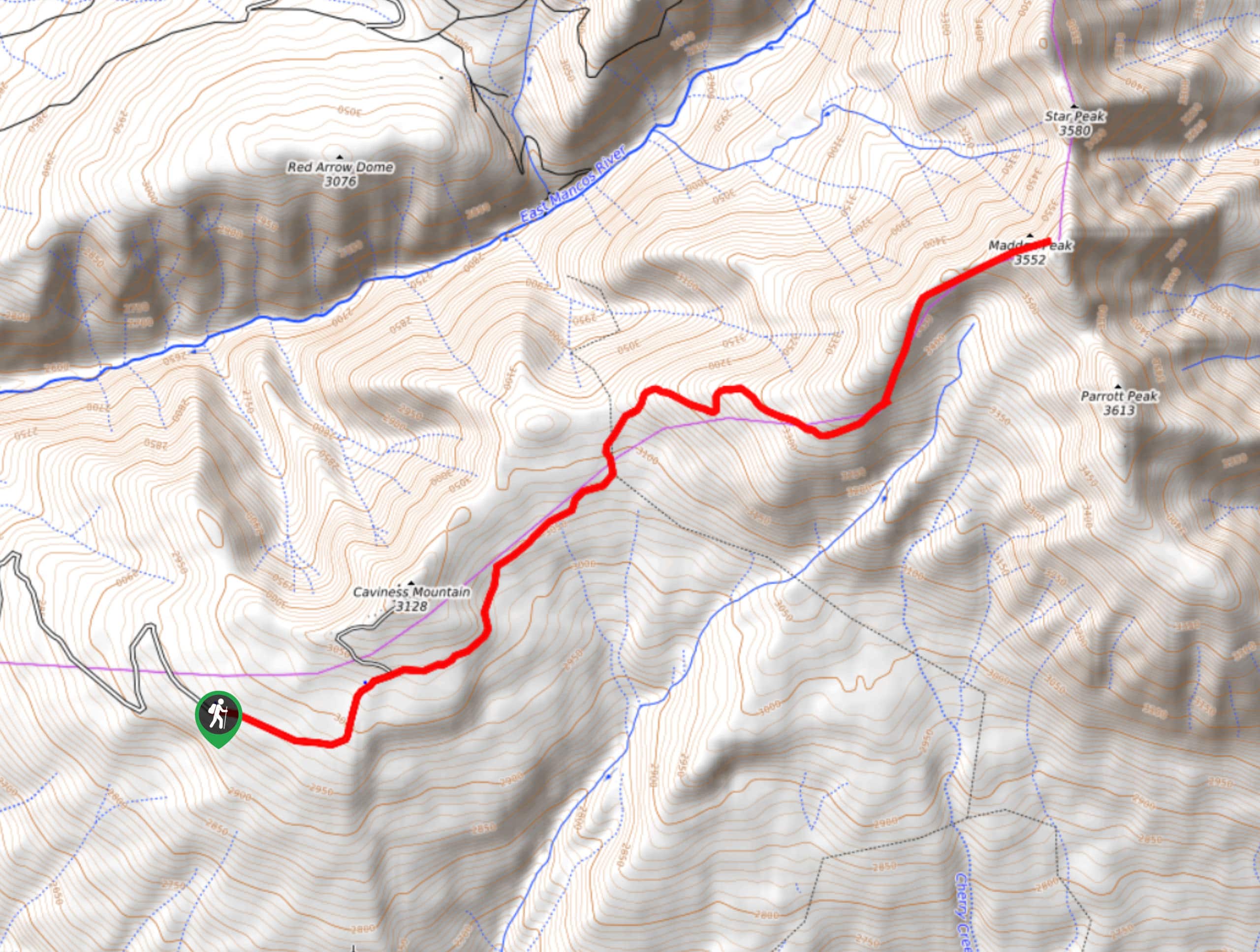
113. Madden Peak Hike
Difficulty
The Madden Peak Hike is a wonderfully scenic, albeit tough, journey into the San Juan… Read More
114. Sailing Hawks Loop Trail
Difficulty
The Sailing Hawks Loop Trail is a quick and easy adventure in Durango that will… Read More
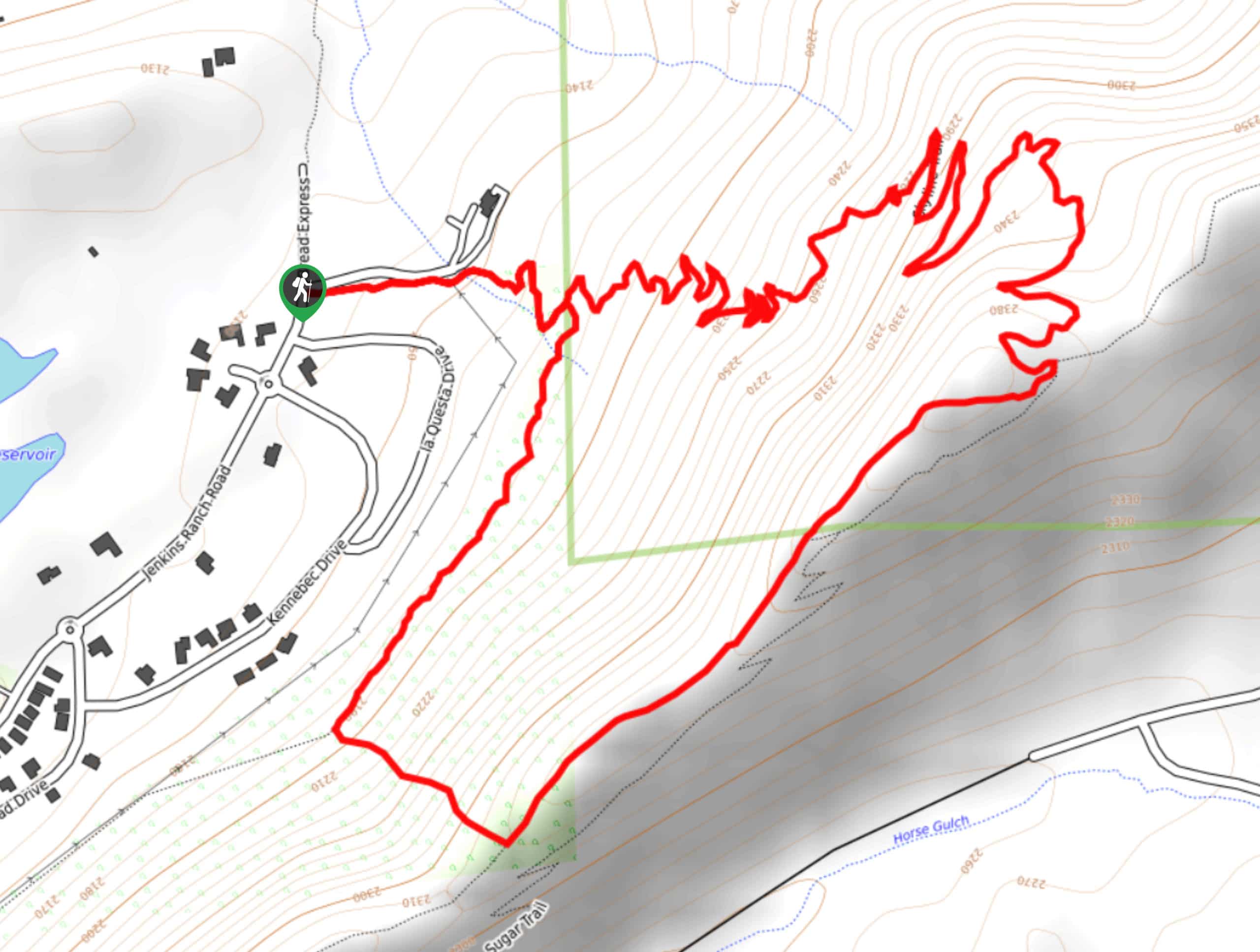
115. Skyline Trail from Jenkins Ranch Road
Difficulty
Hiking the Skyline Trail from Jenkins Ranch Road is a great outdoor experience in Durango,… Read More

116. The Ridge Trail
Difficulty
The Ridge Trail - also known as Raiders Ridge Trail - is an amazing hiking… Read More

117. Meadow Loop via Horse Gulch Trail
Difficulty
The Meadow Loop via Horse Gulch Trail is a great hiking route in Durango that… Read More

118. Twin Buttes and Lightner Creek Loop Trail
Difficulty
The Twin Buttes and Lightner Creek Loop Trail is a great hiking route in Durango,… Read More
Are we missing your favourite hike?
Tell us! If you've got photos, a GPS track and know the hike, we'd love to share your favourite hike with the rest of the 10Adventures community.