Beaver Mountain Trail
View Photos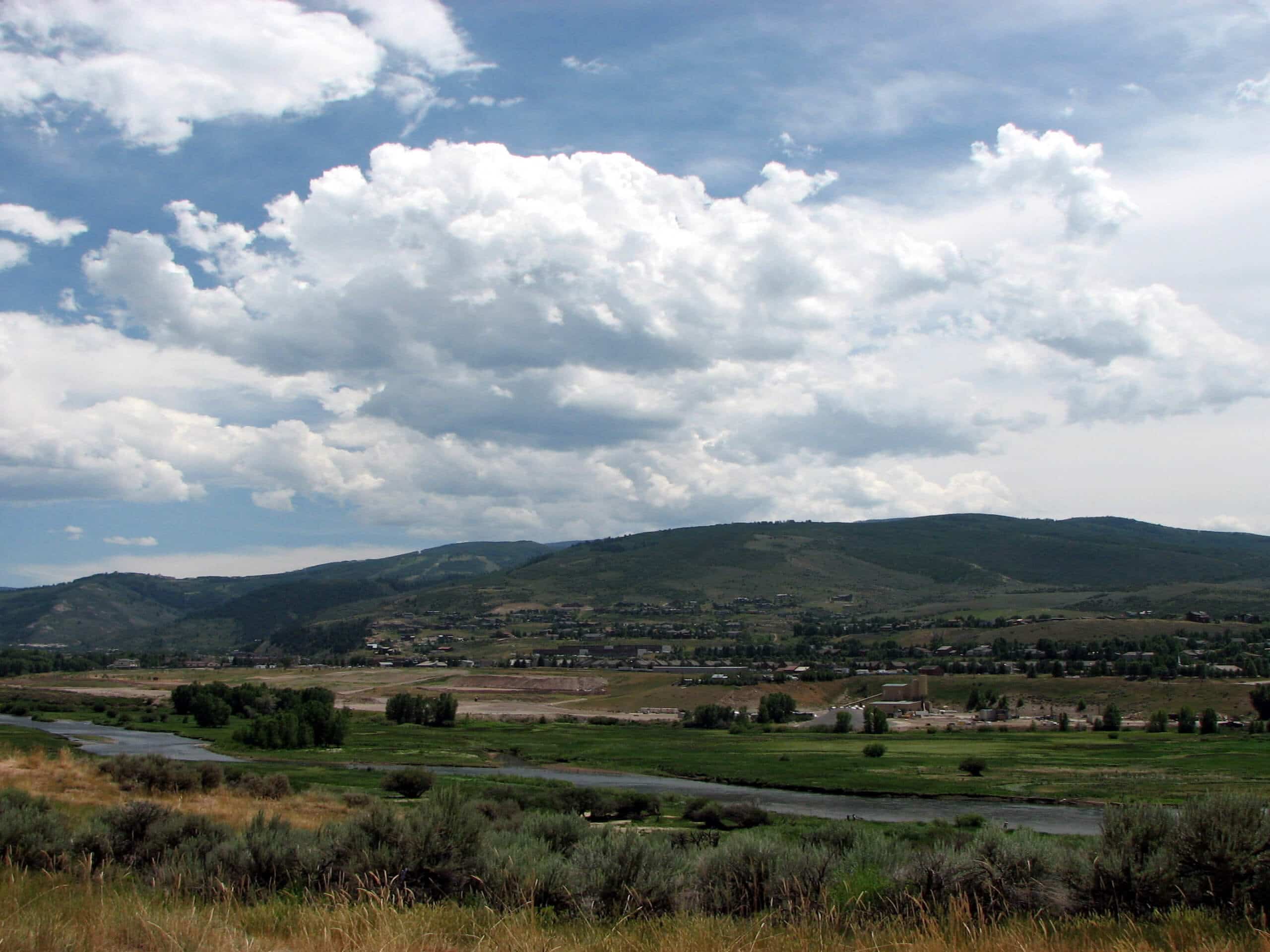
Beaver Mountain Trail
Difficulty Rating:
Hiking the Beaver Mountain Trail is a fun experience in Colorado that will take you uphill for a short adventure with mountain views. While out on the trail, you will work your way up through the forests and open meadows, where you will enjoy sweeping views of the undulating landscape. While this route is suitable for families, there is a small amount of elevation gain that will need to be accounted for.
Getting there
The Beaver Mountain Trailhead can be found along Beaver Creek Road, just 2.5mi southwest of South Fork.

About
| Backcountry Campground | No |
| When to do | Year-Round |
| Pets allowed | Yes - On Leash |
| Family friendly | Yes |
| Route Signage | Average |
| Crowd Levels | Moderate |
| Route Type | Out and back |
Beaver Mountain Trail
Elevation Graph
Weather
Beaver Mountain Trail Description
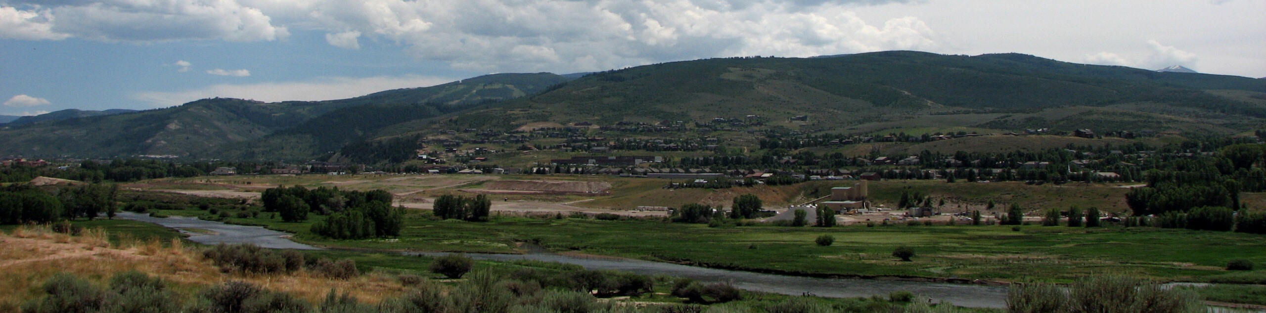
If you are wanting to experience the rugged beauty of the mountains but can’t be bothered to set out on a long or arduous journey, then the Beaver mountain Trail will be the perfect route for you to explore. This short excursion features fairly laid back terrain and scenic views, making for an enjoyable afternoon on the trails.
Setting out from the trailhead, you will make your way to the southeast along a small stream and begin climbing uphill through the woodland landscape. Here, you will pass through tranquil forests, stretches of fallen trees, and open meadows as you gain elevation along the trail.
As you climb further up the mountainside, you will gain an amazing sightline of the surrounding landscape, including the undulating hills and San Juan Mountains off in the distance. After taking in the scenery, simply head back along the same route for the return leg of the hike.
Similar hikes to the Beaver Mountain Trail hike

Twin Buttes and Lightner Creek Loop Trail
The Twin Buttes and Lightner Creek Loop Trail is a great hiking route in Durango, Colorado that features some challenging…

Meadow Loop via Horse Gulch Trail
The Meadow Loop via Horse Gulch Trail is a great hiking route in Durango that will take you uphill for…

The Ridge Trail
The Ridge Trail - also known as Raiders Ridge Trail - is an amazing hiking route in Durango, Colorado that…
Comments