Tonto National Forest
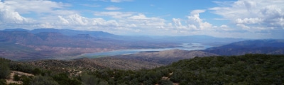
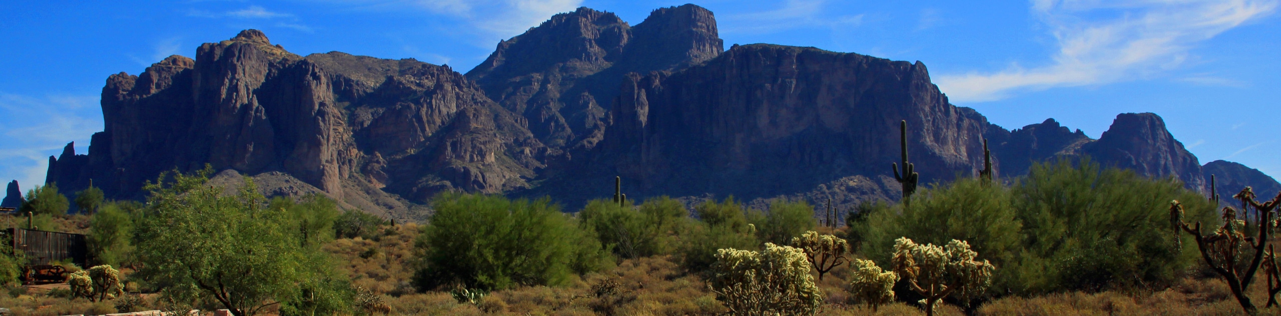
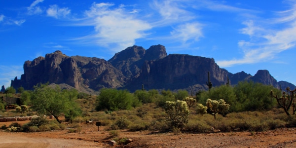
Spanning 7225.0mi across Central Arizona, the Tonto National Forest encompassed the Superstition Mountains, Mazatzal Mountains, the Pinal Mountains, and miles upon miles of classic Arizona desert scenery. Named for the Tonto Basin at the heart of the forest, this land was previously home to the Tonto Apache and the Yavapai people. The Tonto National Forest is the largest of all of Arizona’s national forests and the ninth-largest national forest in all of the United States.
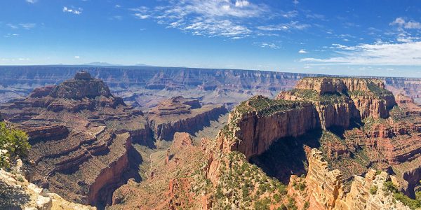
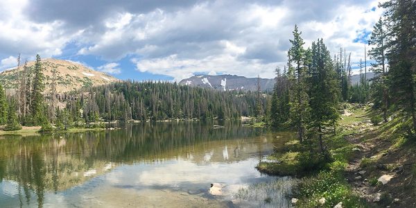
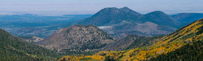
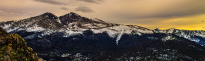
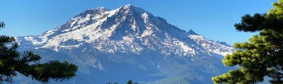
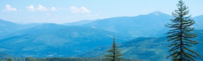
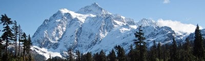
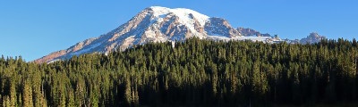
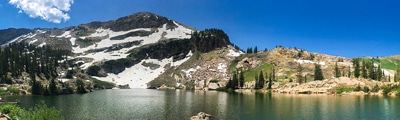
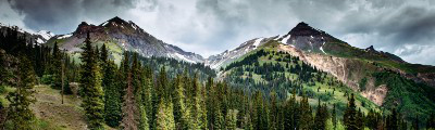
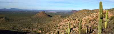
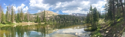
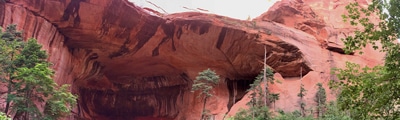
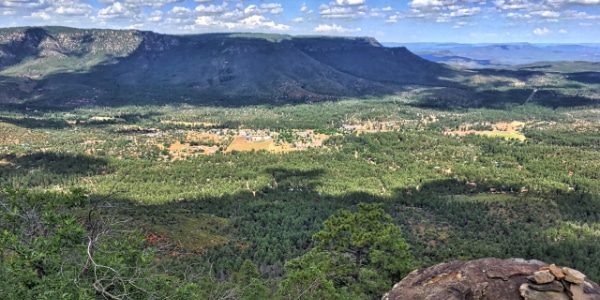
The forest has an incomparably diverse range of scenery. When you think of Arizona, you probably picture dry desert dotted with cacti and cholla, the hot sun beating down on pink-tinged earth. While plenty of this classic scene can be found in the forest, you’ll also discover dramatic canyons filled with emerald swimming holes, lush forests of Ponderosa pine, and snow-capped mountaintops. The range of wildlife that can be found here is equally as impressive, from the wild horses of the Salt River to the hissing rattlesnakes of the desert mesas. Aside from the forest’s obvious natural beauty, a boom and bust coal mining past can be discovered near ghost towns that still hold remnants of the structures and people who once inhabited them.
Outdoor lovers from the Phoenix area enjoy easy access to the trails of the forest, making it the most-visited “urban” forest in the country. On top of local adventurers, visitors from all over the world have come here to hike, mountain bike, horseback ride, cruise offroad, and camp. Adventure lovers bound for Arizona will find a boundless, authentic wilderness that will inspire them for years to come in the Tonto National Forest.
Read MoreActivities
Find a Hotel in Tonto National Forest
Support 10Adventures by booking your hotel through one of our links.