
Twin Buttes and Lightner Creek Loop Trail
View Photos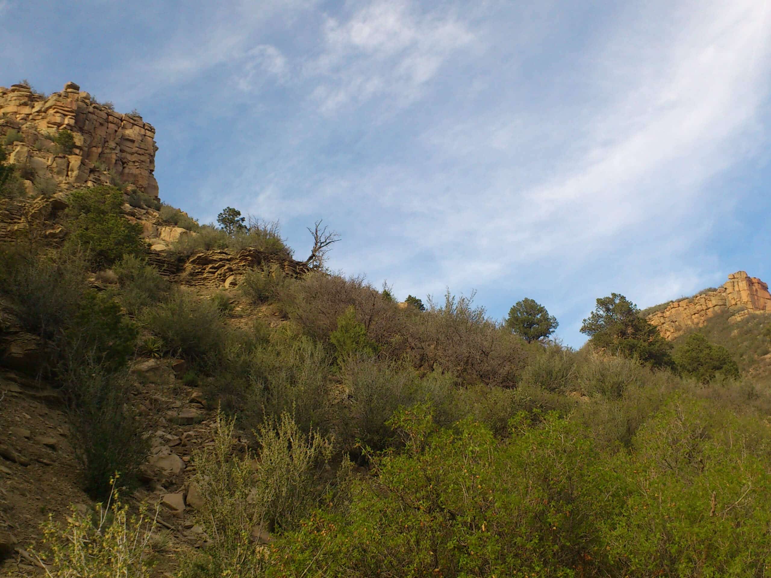
Twin Buttes and Lightner Creek Loop Trail
Difficulty Rating:
The Twin Buttes and Lightner Creek Loop Trail is a great hiking route in Durango, Colorado that features some challenging sections of terrain and scenic views of the surrounding landscape. While out hiking the trail, you will loop around the lightly-forested terrain surrounding Twin Buttes and take in views of nearby Perins Peak, before completing the final leg of the hike back into the trailhead. As this trail is primarily utilized by mountain bike enthusiasts, hikers should try and stick to the right side of the path in order to leave room for them to safely pass by.
Getting there
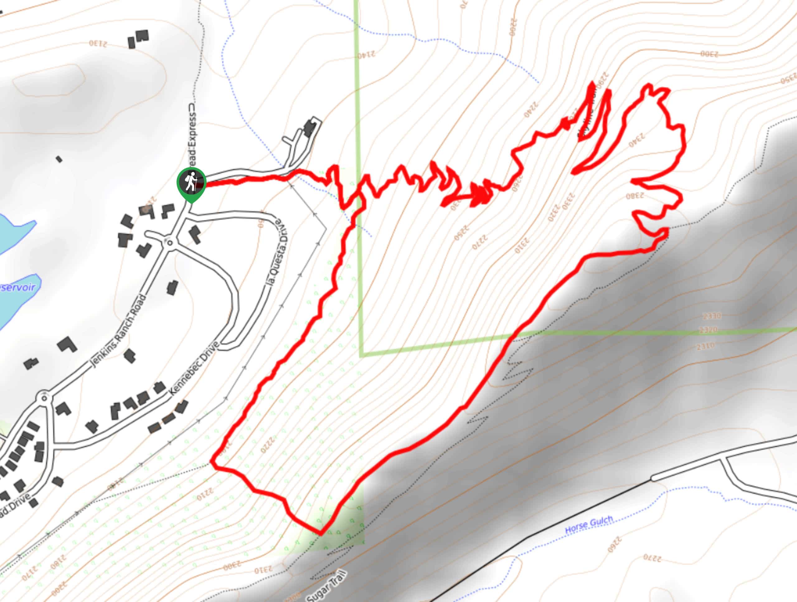
The trailhead for the Twin Buttes and Lightner Creek Loop Trail can be found at the Twin Buttes MTB Trail Parking Area along US-160.

About
| Backcountry Campground | No |
| When to do | April-October |
| Pets allowed | Yes - On Leash |
| Family friendly | Older Children only |
| Route Signage | Average |
| Crowd Levels | Moderate |
| Route Type | Circuit |
Twin Buttes and Lightner Creek Loop Trail
Elevation Graph
Weather
Twin Buttes and Lightner Creek Loop Trail Description
If you are after a bit of a longer hiking route in the Durango area that features some tough terrain and beautiful views of the San Juan Mountains, the Twin Buttes and Lightner Creek Loop Trail is a great option to explore the landscape to the west of the city.
Setting out from the parking lot, you will head to the north and begin climbing through the forested landscape towards Twin Buttes. As you gain elevation and skirt around the slope of the mountain, you will enjoy some scenic views of Perins Peak to the northeast, before turning back to the south.
Here, you will head downhill along the slopes of Twin Buttes until you arrive at the winding banks of Lightner Creek. Following along the water’s edge to the southeast, you will eventually arrive back at the parking lot where you began your adventure.
Similar hikes to the Twin Buttes and Lightner Creek Loop Trail hike

Meadow Loop via Horse Gulch Trail
The Meadow Loop via Horse Gulch Trail is a great hiking route in Durango that will take you uphill for…

The Ridge Trail
The Ridge Trail - also known as Raiders Ridge Trail - is an amazing hiking route in Durango, Colorado that…
Skyline Trail from Jenkins Ranch Road
Hiking the Skyline Trail from Jenkins Ranch Road is a great outdoor experience in Durango, Colorado that offers scenic views…
Comments