
Opal Lake Trail
View Photos
Opal Lake Trail
Difficulty Rating:
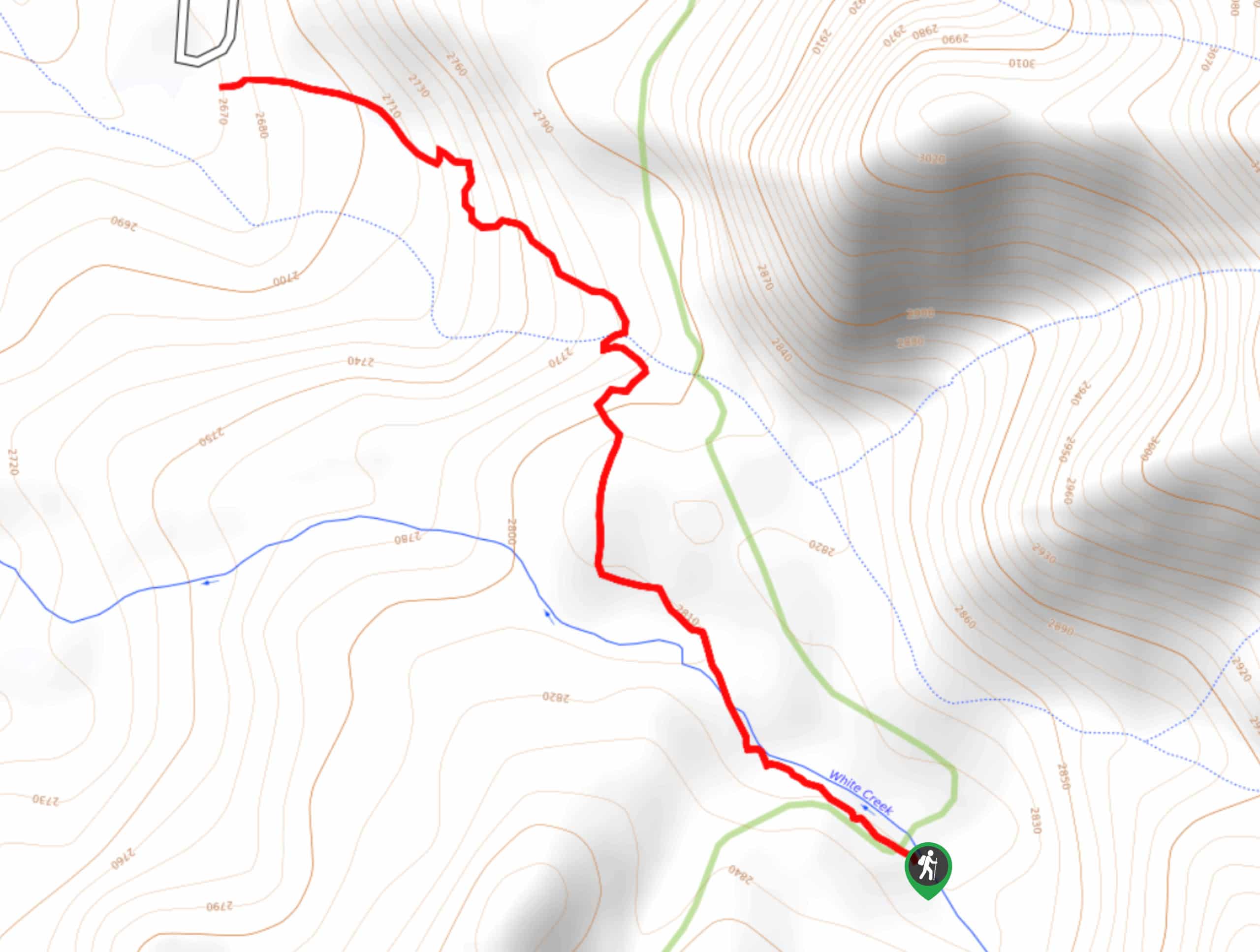
The Opal Lake Trail is a laidback adventure in Colorado that will lead you through a scenic stretch of woodland terrain to arrive at the shores of a beautiful lake. While out hiking the trail, you will climb slightly uphill through aspen groves and meadows, before arriving at the shores of Opal Lake to enjoy some stunning mountain views. This is a fantastic adventure that is suitable for all ages and skill levels, including families with children.
Getting there
The Opal Lake Trailhead can be found along Forest Service Road 023, just 21.6mi southeast of Pagosa Springs.

About
| Backcountry Campground | No |
| When to do | April-October |
| Pets allowed | Yes |
| Family friendly | Yes |
| Route Signage | Average |
| Crowd Levels | Moderate |
| Route Type | Out and back |
Opal Lake Trail
Elevation Graph
Weather
Opal Lake Trail Description
If taking in some beautiful scenery, rather than putting miles behind you, is the main objective of your day on the trails, then you will certainly want to explore the natural beauty of the Opal Lake Trail. This family-friendly route features a serene forest setting, gorgeous alpine views, and the opportunity to relax by the lake, making it a fantastic option for a fun weekend adventure.
Setting out from the trailhead on Forest Service Road 023, you will make your way to the southeast and climb gently uphill through the forest, taking some time to appreciate the relaxing setting and beautiful aspen groves surrounding you. This portion of the route will also see you pass through small meadows that offer a brief glimpse of the surrounding landscape.
After arriving at Opal Lake, you will be inundated with beautiful alpine scenery that includes the emerald water of the lake itself and the rugged peaks in behind. After exploring the area around the lake, simply head back along the same route to return to the trailhead.
Similar hikes to the Opal Lake Trail hike

Twin Buttes and Lightner Creek Loop Trail
The Twin Buttes and Lightner Creek Loop Trail is a great hiking route in Durango, Colorado that features some challenging…

Meadow Loop via Horse Gulch Trail
The Meadow Loop via Horse Gulch Trail is a great hiking route in Durango that will take you uphill for…
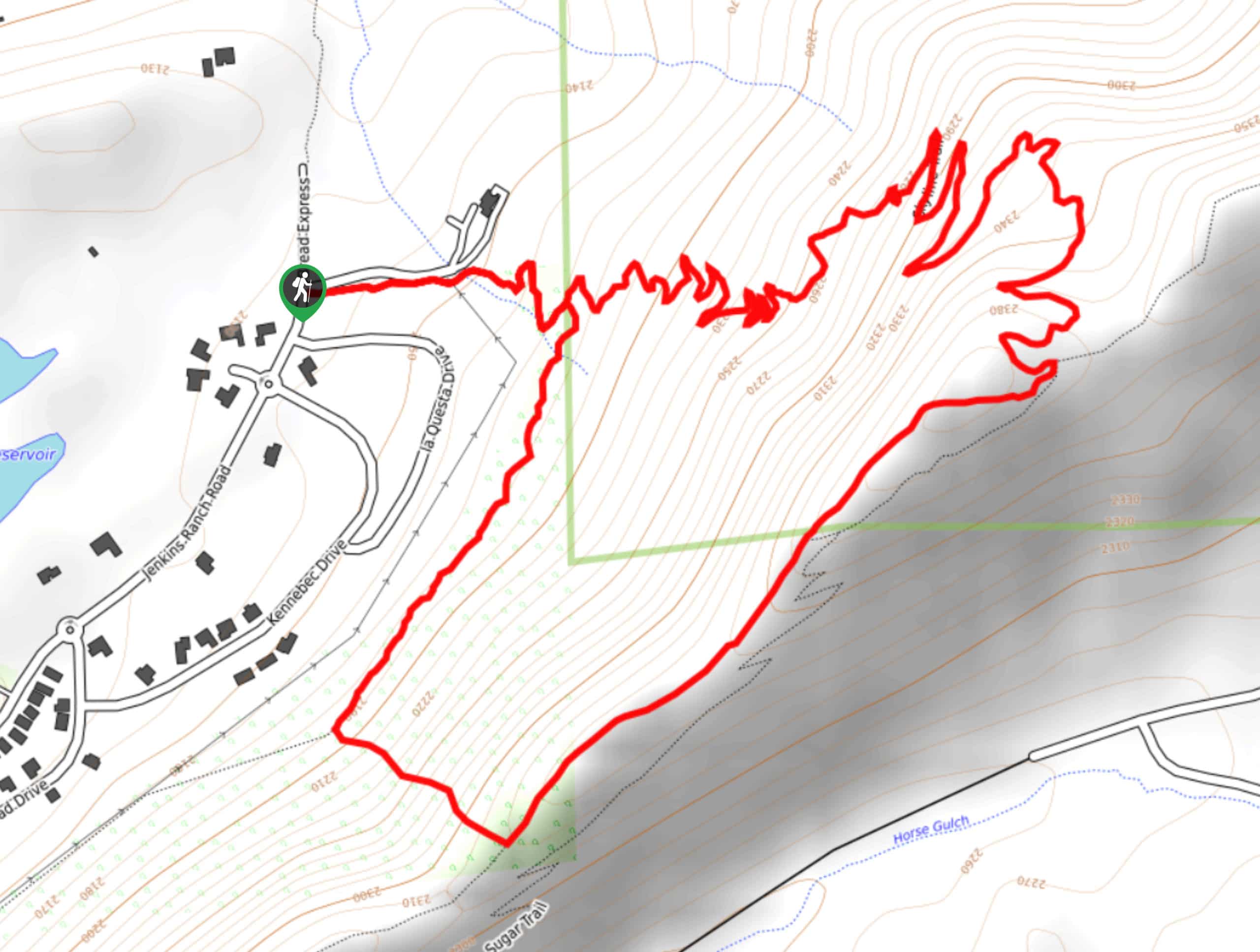
Skyline Trail from Jenkins Ranch Road
Hiking the Skyline Trail from Jenkins Ranch Road is a great outdoor experience in Durango, Colorado that offers scenic views…
Comments