Highland Mary Lake Loop Trail
View Photos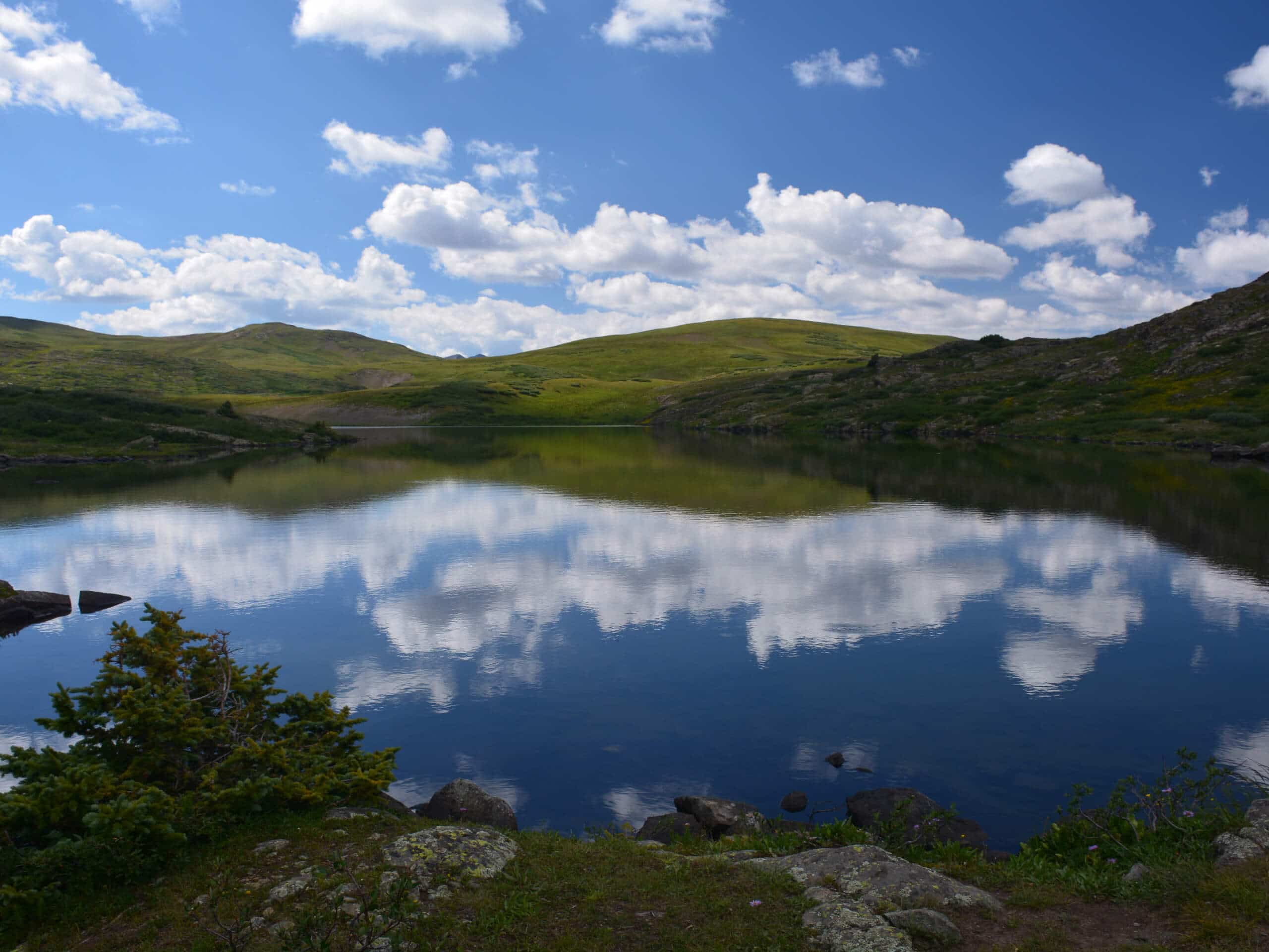
Highland Mary Lake Loop Trail
Difficulty Rating:
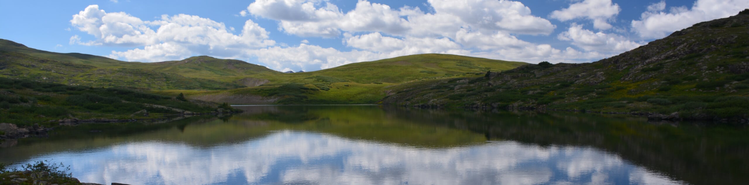
The Highland Mary Lake Loop Trail is a fantastic adventure near Silverton, Colorado that will take you into the San Juan Mountains for incredible views of the surrounding landscape. While out hiking the trail, you will climb uphill alongside Cunningham Creek to take in the views of the Highland Mary Lakes, before climbing above the basin and looping around through meadows on the return leg. Hikers should take note that while this trail is dog-friendly, there are some rocky areas with large steps where your dogs may need assistance.
Getting there
The Highland Mary Lake Loop Trailhead can be found along County Road 4, 4.6mi south of the junction with Animas Forks Road.

About
| Backcountry Campground | Highland Mary Lakes |
| When to do | June-October |
| Pets allowed | Yes |
| Family friendly | Older Children only |
| Route Signage | Average |
| Crowd Levels | Moderate |
| Route Type | Lollipop |
Highland Mary Lake Loop Trail
Elevation Graph
Weather
Highland Mary Lake Loop Trail Description
As an extension to the shorter out-and-back Highland Mary Lake Trail, the loop variant of this route will still produce the same amazing views over several charming alpine lakes, with the added benefit of climbing higher above the basin for sweeping views of the surrounding area. Terrain here will be more rugged and the route will certainly be longer, but the reward will be evident in the quality of the views.
Setting out from the trailhead, you will cross over Cunningham Creek and follow its banks to the south, traversing some wonderful forest terrain as you climb uphill towards the basin. Here, you will arrive at the scenic shores of the Highland Mary Lakes, where you will enjoy some beautiful views of the water and the surrounding alpine terrain.
Continuing on to the south, you will skirt around the shores of Verde Lake and head east along the trail in order to climb up through some rocky terrain for views overlooking the basin. Here, the trail will bend to the north and begin to descend through beautiful meadows that offer views of the surrounding landscape, before arriving back at the trailhead where you began.
Similar hikes to the Highland Mary Lake Loop Trail hike

Twin Buttes and Lightner Creek Loop Trail
The Twin Buttes and Lightner Creek Loop Trail is a great hiking route in Durango, Colorado that features some challenging…

Meadow Loop via Horse Gulch Trail
The Meadow Loop via Horse Gulch Trail is a great hiking route in Durango that will take you uphill for…

The Ridge Trail
The Ridge Trail - also known as Raiders Ridge Trail - is an amazing hiking route in Durango, Colorado that…
Comments