Chicago Basin Hike
View Photos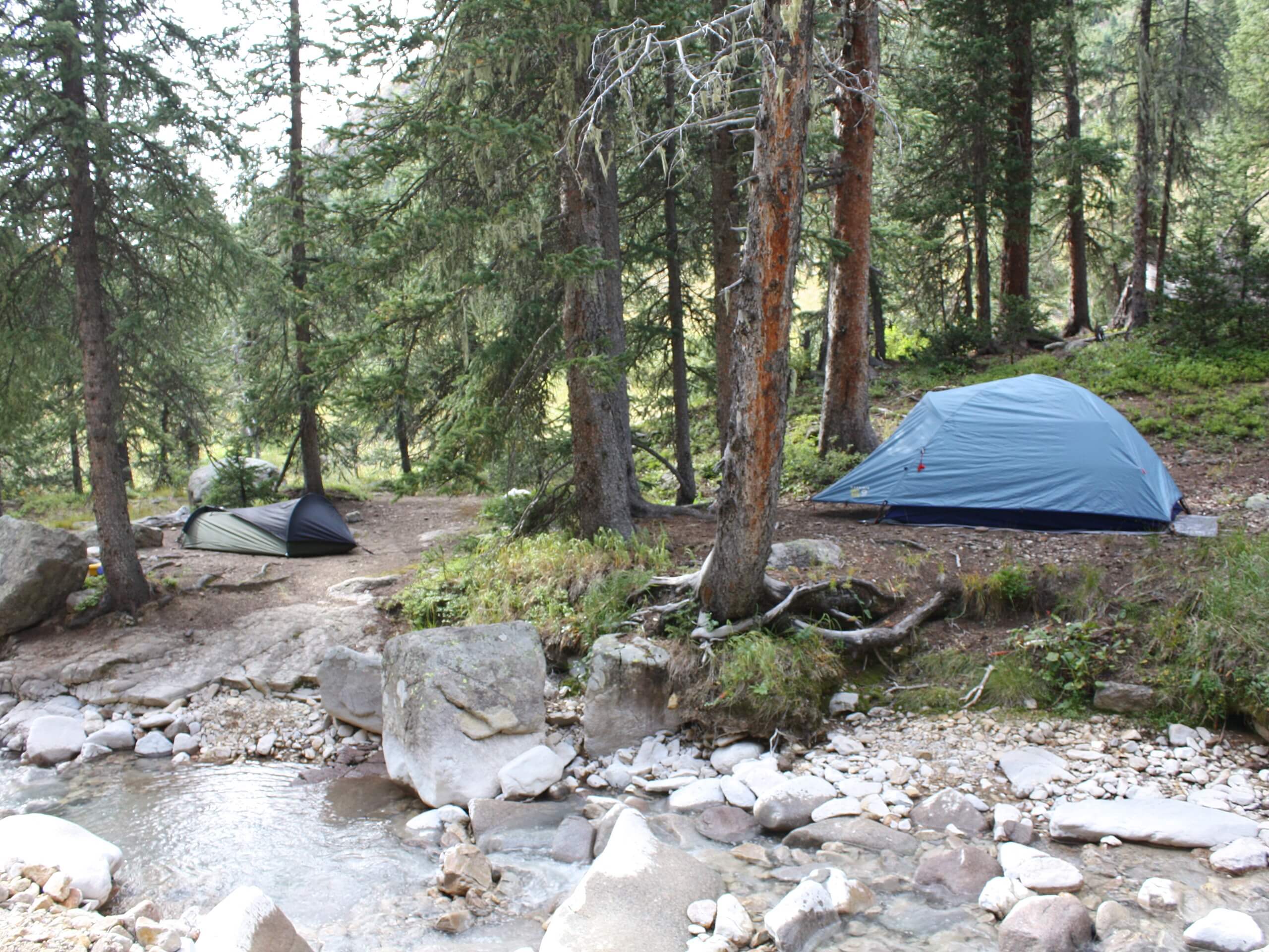
Chicago Basin Hike
Difficulty Rating:
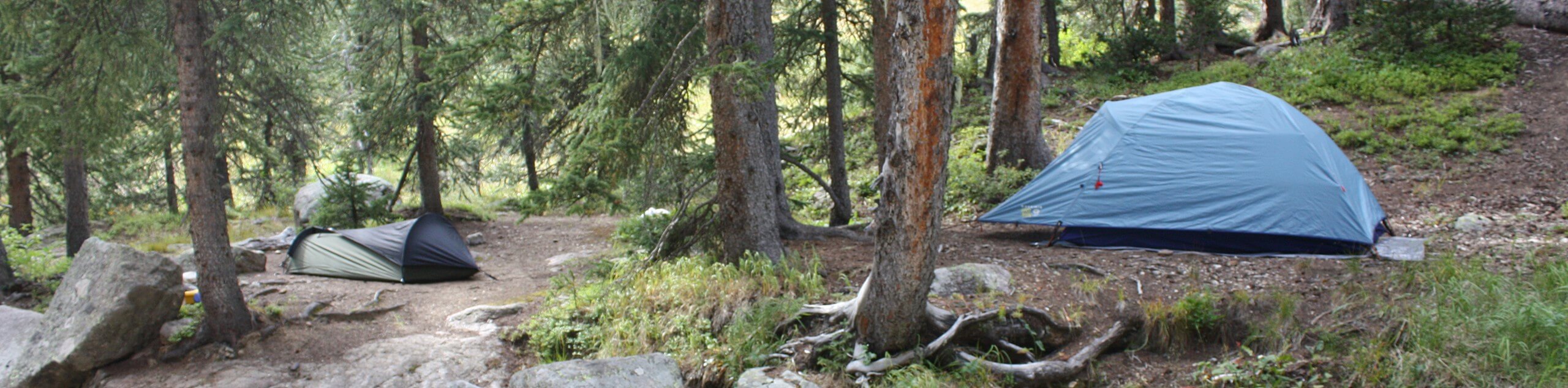
The Chicago Basin Hike is a challenging, but non-technical, adventure in the San Juan Mountains that will take you uphill for stunning views of the alpine terrain. While out hiking the trail, you will work your way through the forested basin alongside Needle Creek, before making the final push through the alpine landscape to reach the shores of the Twin lakes. Hikers should take note that, while this route isn’t overly technical, it will still require a good amount of hiking experience.
Getting there
The trailhead for the Chicago Basin Hike can be found at the Needleton Flagstop along the Durango & Silverton Narrow Gauge Railroad.

About
| Backcountry Campground | No |
| When to do | May-September |
| Pets allowed | Yes - On Leash |
| Family friendly | No |
| Route Signage | Average |
| Crowd Levels | Low |
| Route Type | Out and back |
Chicago Basin Hike
Elevation Graph
Weather
Chicago Basin Hike Description
Featuring a lengthy overall distance, rugged terrain, and plenty of elevation gain, the Chicago Basin Hike is a challenging adventure that will require experience and a good degree of planning. Be sure to bring any necessary equipment and supplies for a long journey into the mountains. Additionally, the trailhead is only accessible via the Durango & Silverton Narrow Gauge Railroad, so make sure to arrive early and leave yourself plenty of time for the return journey.
While it may be long and challenging, the Chicago Basin Hike is a beautifully scenic route that will expose you to some of the most beautiful views in Colorado. After climbing through the basin, you will push up a steep slope to arrive at the shores of two stunning alpine lakes with gorgeous mountain views. The scenery on this tough hike is definitely worth the effort.
Setting out from the trailhead at the Needleton Flagstop, you will cross the bridge over the Animas River and follow the trail as it bends to the southwest. Here, you will continue along the trail as it passes through the forest for 0.9mi, meeting up with the banks of Needle Creek, before arriving at a junction in the trail.
Keeping left at the junction, you will continue along the winding bank of the creek as it heads to the southeast, climbing uphill through the forested expanse of the Chicago Basin for 4.2mi. Here, you will exit the dense cover of the forest and pass through a sparsely wooded meadow, continuing uphill alongside Needle Creek for another 1.6mi.
Arriving at a fork, you will bear left to begin climbing the steep and rugged alpine terrain, eventually arriving at the scenic shores of the Twin Lakes after 1.1mi. Take some time here to explore the area surrounding the alpine lakes while also soaking up the breathtaking views of the surrounding mountains, including the three nearby fourteeners: Mount Eolus, Sunlight Peak, and Windom Peak.
Once you have taken in the views and had your fill of exploring the rugged, mountainous terrain, you will follow the same route back downhill through the Chicago Basin to return to the trailhead where you began your lengthy adventure.
Trail Highlights
Sunlight Peak
Situated in the Needle sub-range of the Rocky Mountains, at 14065ft, Sunlight Peak is one of three fourteeners in the area alongside Windom Peak and Mount Eolus. Sunlight Peak is fairly remote and is surrounded by wild terrain, including a number of rugged mountains, the beautifully scenic Twin Lakes, and the vast Chicago Basin.
Frequently Asked Questions
How do I get to the Chicago Basin?
In order to reach the Chicago Basin, you will need to take the Durango & Silverton Narrow Gauge Railroad and get off at the Needleton Flagstop.
Do I need a permit to hike the Chicago Basin?
Currently there are no permits required for recreational activities in the Chicago Basin.
Insider Hints
Wear proper hiking boots with good support for this rugged hike.
This is a long out-and-back hike, so make sure to bring plenty of water and snacks.
There are plenty of flies and bugs along the trail, so don’t forget the bug repellent!
Similar hikes to the Chicago Basin Hike hike

Twin Buttes and Lightner Creek Loop Trail
The Twin Buttes and Lightner Creek Loop Trail is a great hiking route in Durango, Colorado that features some challenging…

Meadow Loop via Horse Gulch Trail
The Meadow Loop via Horse Gulch Trail is a great hiking route in Durango that will take you uphill for…

The Ridge Trail
The Ridge Trail - also known as Raiders Ridge Trail - is an amazing hiking route in Durango, Colorado that…
Comments