Piedra River Trail
View Photos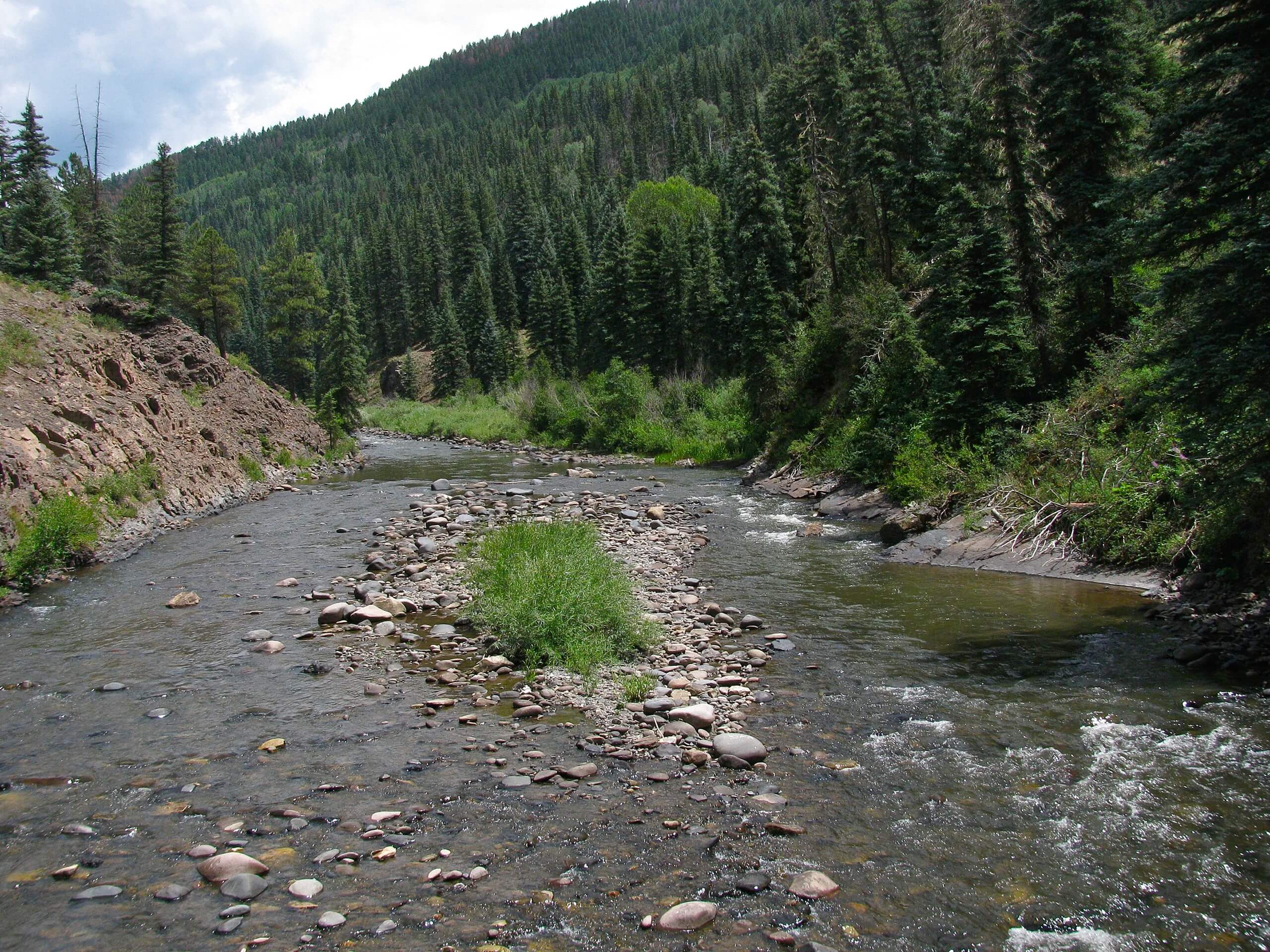
Piedra River Trail
Difficulty Rating:
Hiking the Piedra River Trail is a great intermediate-length adventure in Colorado that will allow you to enjoy the scenic views along a winding river. While out on the trail, you will follow along the riverbank in a southwestern direction, enjoying the views of the surrounding trees and hills as you meander through the valley. Hikers should take note that bears and cougars are sometimes spotted along the trail, so be sure to bring bear spray and exercise all precautions.
Getting there
The trailhead for the Piedra River Trail can be found along Forest Service Road Road 631 at the Piedra River and Ice Cave Ridge Parking Lot.

About
| Backcountry Campground | No |
| When to do | May-October |
| Pets allowed | Yes |
| Family friendly | Yes |
| Route Signage | Average |
| Crowd Levels | High |
| Route Type | Out and back |
Piedra River Trail
Elevation Graph
Weather
Piedra River Trail Description
In terms of terrain, the Piedra River Trail is a fairly laidback excursion that offers some scenic views; however, black bears and cougars are often spotted/heard in the area. If you plan on exploring this trail, you will need to bring bear spray and make plenty of noise along the trail. Additionally, the road into the trailhead is a bit on the rugged side, so you will likely need a high clearance vehicle to safely access this trail.
Even though it is a bit difficult to reach the trailhead, once you are on the Piedra River Trail, you will experience beautiful views of the surrounding area and relax in the wonderful riverside setting. The easy-going nature of this trail and the intermediate length make it a great option for beginners looking to spend a few hours outdoors exploring the beauty of Colorado.
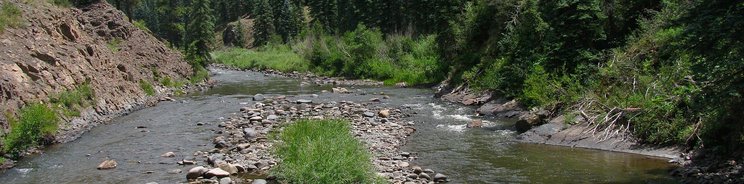
Setting out from the parking area, you will head to the south along the trail as it runs parallel to the banks of the Piedra River. On your right, you will have views looking onto a dense stretch of forest, and beyond that the steep terrain of Ice Cave Ridge.
After passing by a few rock walls that are perfect for rock climbing, you will follow the trail as it bends to the southwest along with the river. Here, you will pass through some light tree cover and open meadows while taking in the beautiful views of the rugged landscape, including the Sally Overlook to the west.
Once you have been on the trail for 1.6mi, you will cross a bridge over Williams Creek and continue on to the southwest for another 1.3mi. Here, you will arrive at the endpoint of the route where the trail divides at a fork. After pausing for a quick restr, simply turn back along the trail and follow the winding banks of the river back to the northeast to complete the Piedra River Trail.
Insider Hints
Wear comfortable hiking footwear.
Bring bear spray and exercise all bear/cougar safety measures.
A high clearance vehicle is recommended to safely reach the trailhead.
Similar hikes to the Piedra River Trail hike

Twin Buttes and Lightner Creek Loop Trail
The Twin Buttes and Lightner Creek Loop Trail is a great hiking route in Durango, Colorado that features some challenging…

Meadow Loop via Horse Gulch Trail
The Meadow Loop via Horse Gulch Trail is a great hiking route in Durango that will take you uphill for…
Skyline Trail from Jenkins Ranch Road
Hiking the Skyline Trail from Jenkins Ranch Road is a great outdoor experience in Durango, Colorado that offers scenic views…
Comments