Uncompahgre Peak Hike
View Photos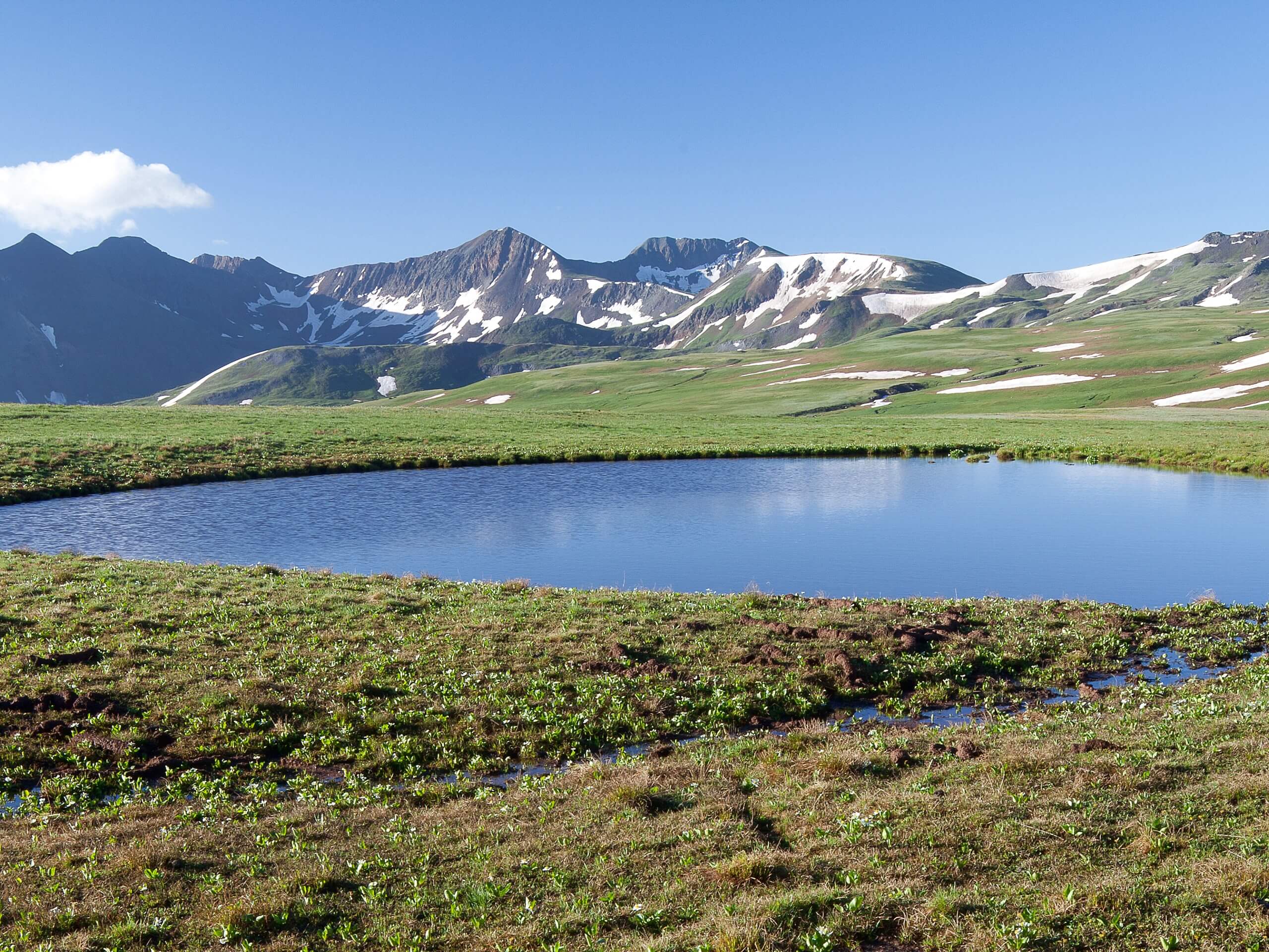
Uncompahgre Peak Hike
Difficulty Rating:
The uncompahgre Peak Hike is a challenging and exhilarating excursion in the San Juan Mountains of Colorado that will take you to the summit of the 6th highest peak in the state. While out hiking the trail, you will gradually make your way up through the basin, before the final steep push and light scramble up to the summit for some breathtaking views. Take note that you will need a 4x4 high clearance vehicle in order to reach the trailhead, as the road into the mountains is very rough and rugged.
Getting there
The starting point for the Uncompahgre Peak Hike can be found at the Nellie Creek Trailhead along Forest Service Road 239.

About
| Backcountry Campground | No |
| When to do | April-October |
| Pets allowed | Yes - On Leash |
| Family friendly | No |
| Route Signage | Average |
| Crowd Levels | Moderate |
| Route Type | Out and back |
Uncompahgre Peak Hike
Elevation Graph
Weather
Uncompahgre Peak Hike Description
Featuring some rough and rugged mountain terrain, the Uncompahgre Peak Hike will require proper hiking footwear and a decent level of physical fitness to complete, as there is a short scramble to the summit. You will also need a 4×4 high clearance vehicle to reach the trailhead, as the road leading into the mountains will be quite difficult to traverse without one.
Although it is difficult to reach, the Uncompahgre Peak Hike is a fantastic adventure that will take you high into the San Juan Mountains for incredible views. In addition to experiencing the beautiful scenery of the mountains, you will also have the sense of achievement at having summited the 6th highest peak in the Rockies, making for a memorable day out on the trails in Colorado.
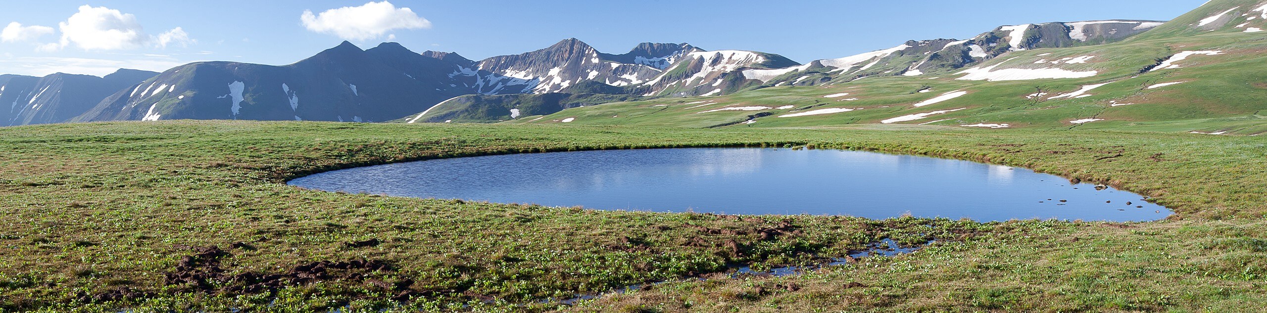
Setting out from the Nellie Creek Trailhead, you will make your way to the northwest and follow a path running parallel to the creek. Here, you will climb gradually uphill through a mixture of forest and meadow for 0.9mi, before arriving at a junction in the trail.
Taking the path on the left, you will head to the west and continue uphill through the basin, enjoying the sweeping views of the mountainous landscape over the next 1.5mi until you arrive at another junction. Keep right here and follow the path as it loops around to the northwest for the ascent of Uncompahgre Peak.
Here, the route will begin to steepen as you work your way towards the summit, eventually leading you on a brief and rocky scramble up to the top of the peak. Once there, you will enjoy a panoramic view of the surrounding San Juan Mountains, including Silver Mountain to the north and Matterhorn Peak to the southwest.
After taking in the stunning views across the Colorado wilderness, you will need to head back along the same trail to return to the trailhead. Exercise caution here, as the gradual slope that you climbed on the way in is far more dangerous on the way down, thanks to loose rock that creates unstable footing. After working your way back down the mountain and through the basin, you will arrive back at the parking area having completed the Uncompahgre Peak Hike.
Trail Highlights
Uncompahgre Peak
Situated in the San Juan Mountain sub-range, Uncompahgre Peak has an elevation of 14321ft, making it the sixth highest summit in the state of Colorado and the Rocky Mountains. The west, east, and south faces of the mountain are not overly steep; however, the north face features a 700ft cliff. The name Uncompahgre comes from the Ute word meaning ‘dirty water’, likely in reference to nearby hot springs in the area.
Frequently Asked Questions
How tall is Uncompahgre Peak?
Uncompahgre peak has an elevation of 14308ft above sea level.
What county can Uncompahgre Peak be found in?
Uncompahgre Peak is located in the San Juan Mountains, in Hinsdale County.
Insider Hints
A 4x4 high clearance vehicle is required to make the rugged drive into the trailhead.
Wear proper hiking boots with good ankle support.
Watch your footing on the return leg down the mountainside, as the loose rock can be hazardous.
Similar hikes to the Uncompahgre Peak Hike hike

Twin Buttes and Lightner Creek Loop Trail
The Twin Buttes and Lightner Creek Loop Trail is a great hiking route in Durango, Colorado that features some challenging…

Meadow Loop via Horse Gulch Trail
The Meadow Loop via Horse Gulch Trail is a great hiking route in Durango that will take you uphill for…

The Ridge Trail
The Ridge Trail - also known as Raiders Ridge Trail - is an amazing hiking route in Durango, Colorado that…
Comments