Cimarrona Creek Trail #586 Short
View Photos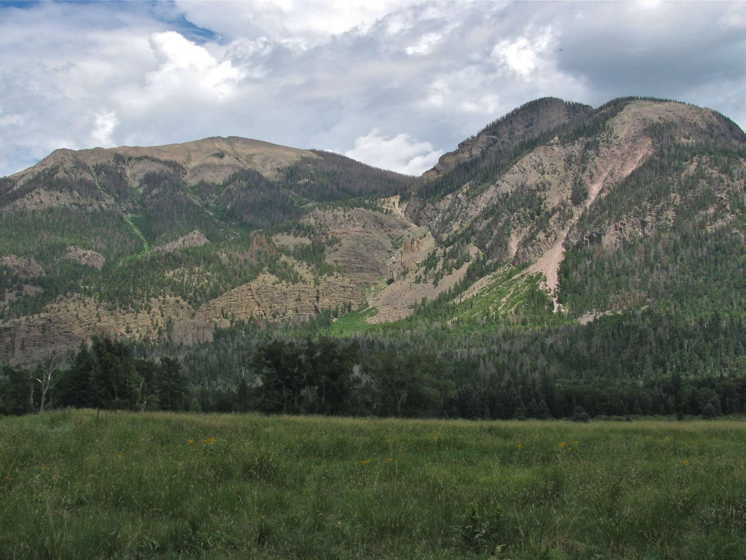
Cimarrona Creek Trail #586 Short
Difficulty Rating:
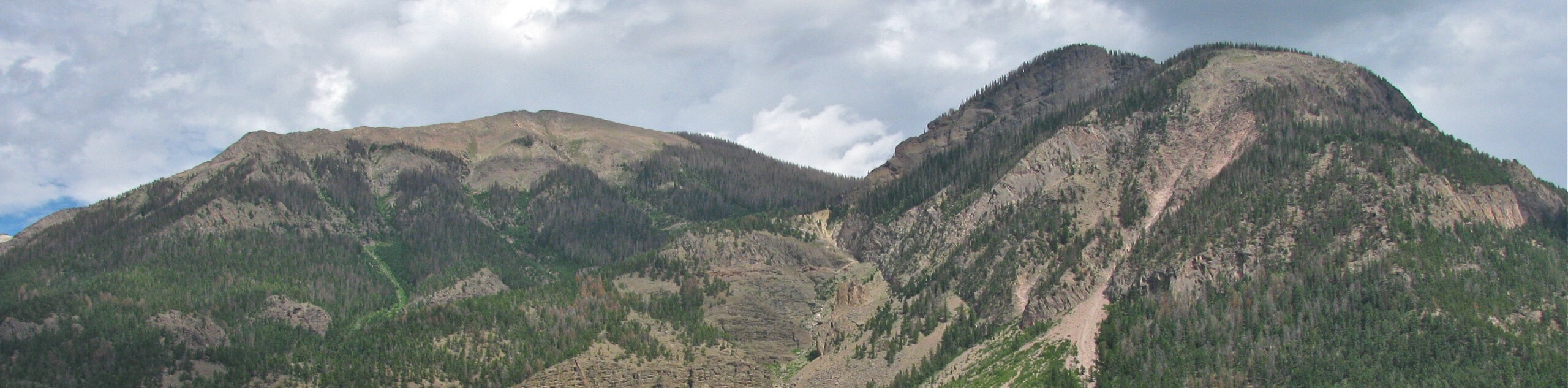
The Cimarrona Creek trail #586 Short is a beautifully scenic and physically challenging hiking route in Colorado that will take you uphill for stunning views of the San Juan Mountains. While out hiking the trail, you will work your way through woodlands and open meadows in order to reach the rugged lower slopes of Cimarrona Peak and an interesting rock arch. Be sure to wear sturdy hiking boots with good support, as the trail is fairly steep and rugged throughout.
Getting there
The starting point for the Cimarrona Creek Trail #586 Short can be found at the Cimarrona Trailhead, just opposite the Cimarrona Campground on Forest Service Road 640.

About
| Backcountry Campground | No |
| When to do | May-October |
| Pets allowed | Yes |
| Family friendly | No |
| Route Signage | Average |
| Crowd Levels | Low |
| Route Type | Out and back |
Cimarrona Creek Trail #586 Short
Elevation Graph
Weather
Cimarrona Creek Trail #586 Short Description
While it doesn’t make for an overly long hike, the Cimarrona Creek Trail #586 Short is a fantastic intermediate-length route if you are looking to experience the rugged and beautiful landscape of the San Juan Mountains of Colorado.
Setting out from the trailhead, you will climb uphill to the northwest alongside the banks of Cimarrona Creek, passing through the dense woodland landscape as you gain elevation along the trail. Eventually, you will exit the dense cover of the forest and make your way through some open meadows with scattered rocky terrain, where you will have some nice views of the surrounding mountain landscape.
With Cimarrona Peak ahead of you to the north, you will continue on climbing uphill through the rugged terrain, where you will eventually come to the rock arch along the trail. After exploring the area, turn back along the same path and make your way back down to the trailhead where you began your adventure.
Similar hikes to the Cimarrona Creek Trail #586 Short hike

Twin Buttes and Lightner Creek Loop Trail
The Twin Buttes and Lightner Creek Loop Trail is a great hiking route in Durango, Colorado that features some challenging…

Meadow Loop via Horse Gulch Trail
The Meadow Loop via Horse Gulch Trail is a great hiking route in Durango that will take you uphill for…

The Ridge Trail
The Ridge Trail - also known as Raiders Ridge Trail - is an amazing hiking route in Durango, Colorado that…
Comments