Cave Basin Trail
View Photos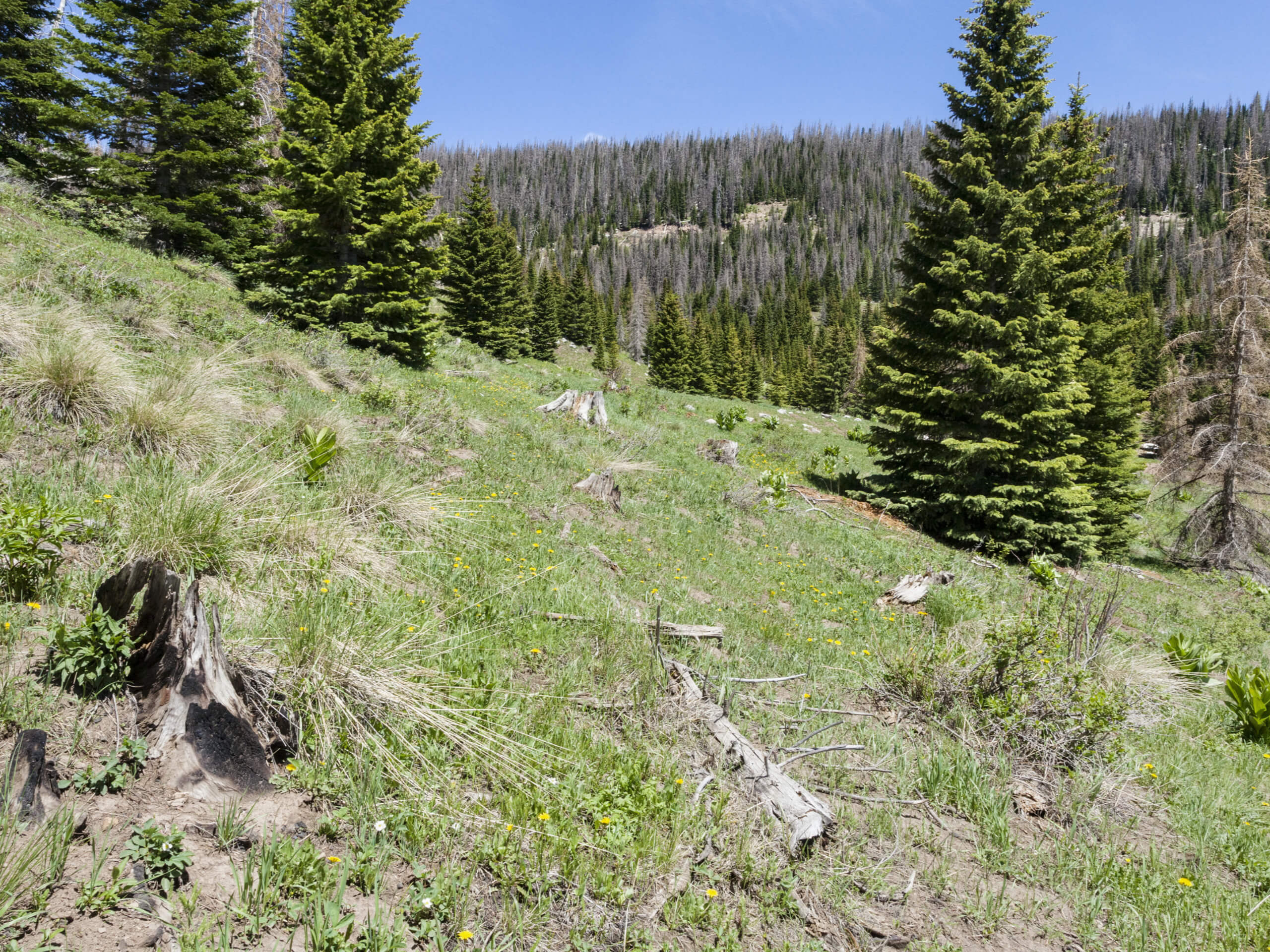
Cave Basin Trail
Difficulty Rating:
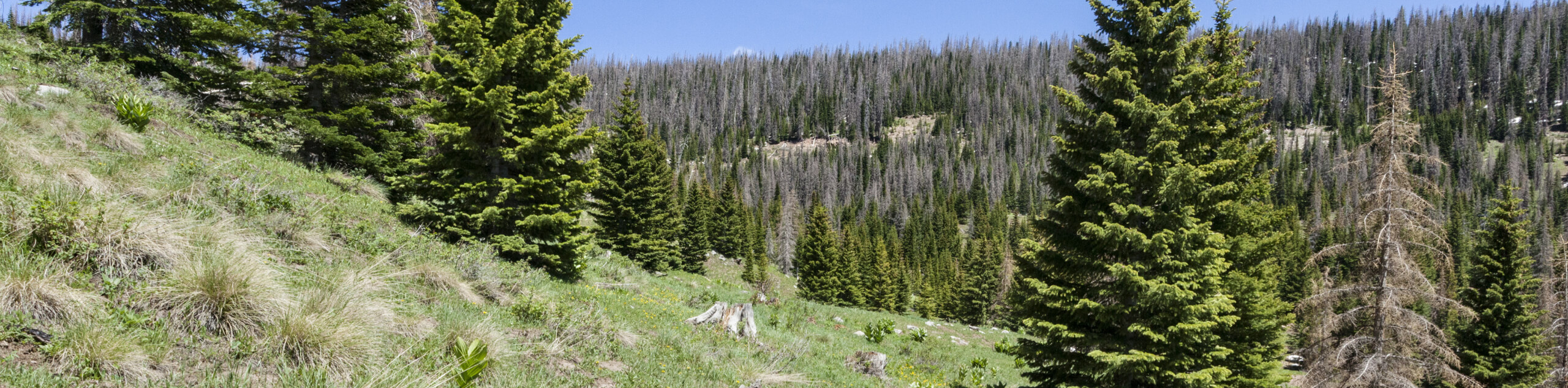
The Cave Basin Trail is a spectacular hiking route in the San Juan Mountains of Colorado that will take you through a variety of terrain types to reach a beautifully scenic viewpoint. While out hiking the trail, you will climb uphill through forests, meadows, and rocky terrain, before arriving at a vista overlooking Dollar lake and the surrounding landscape. The trail can be a bit hard to follow towards the upper end of the hike, so bring a GPS if you are concerned about losing your way.
Getting there
The Cave Basin Trailhead can be found along Middle Mountain Road, just 10.3mi northeast of the Vallecito Reservoir.

About
| Backcountry Campground | No |
| When to do | July-October |
| Pets allowed | Yes |
| Family friendly | Older Children only |
| Route Signage | Poor |
| Crowd Levels | Low |
| Route Type | Out and back |
Cave Basin Trail
Elevation Graph
Weather
Cave Basin Trail Description
Even though it can be a bit tricky to navigate in certain places, the Cave Basin Trail is a wonderfully scenic route to set out on if you are looking to take in the natural beauty of the San Juan Mountains. Keep an eye out for the cairns along the trail and you should make it to the viewpoint over Dollar lake with no issue!
Setting out from the trailhead, you will head to the northeast and begin immediately climbing uphill alongside the banks of South Bear Creek. Here, you will pass through a mixture of open meadows and forests, taking in the views of the surrounding trees and mountains as you continue on to the northeast.
After working your way through some fairly rugged terrain, you will eventually arrive at a scenic vantage point overlooking the blue waters of Dollar Lake below. Take some time here to relax and appreciate the beautiful Colorado scenery, before heading back along the same route for the return to the trailhead.
Similar hikes to the Cave Basin Trail hike

Twin Buttes and Lightner Creek Loop Trail
The Twin Buttes and Lightner Creek Loop Trail is a great hiking route in Durango, Colorado that features some challenging…

Meadow Loop via Horse Gulch Trail
The Meadow Loop via Horse Gulch Trail is a great hiking route in Durango that will take you uphill for…

The Ridge Trail
The Ridge Trail - also known as Raiders Ridge Trail - is an amazing hiking route in Durango, Colorado that…
Comments