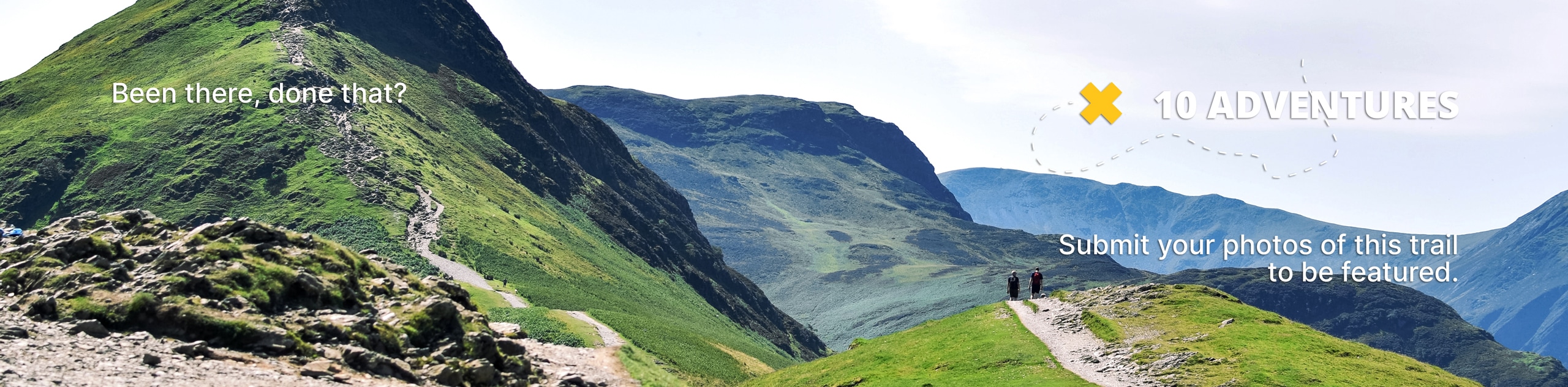
Alder Bench Trail
View Photos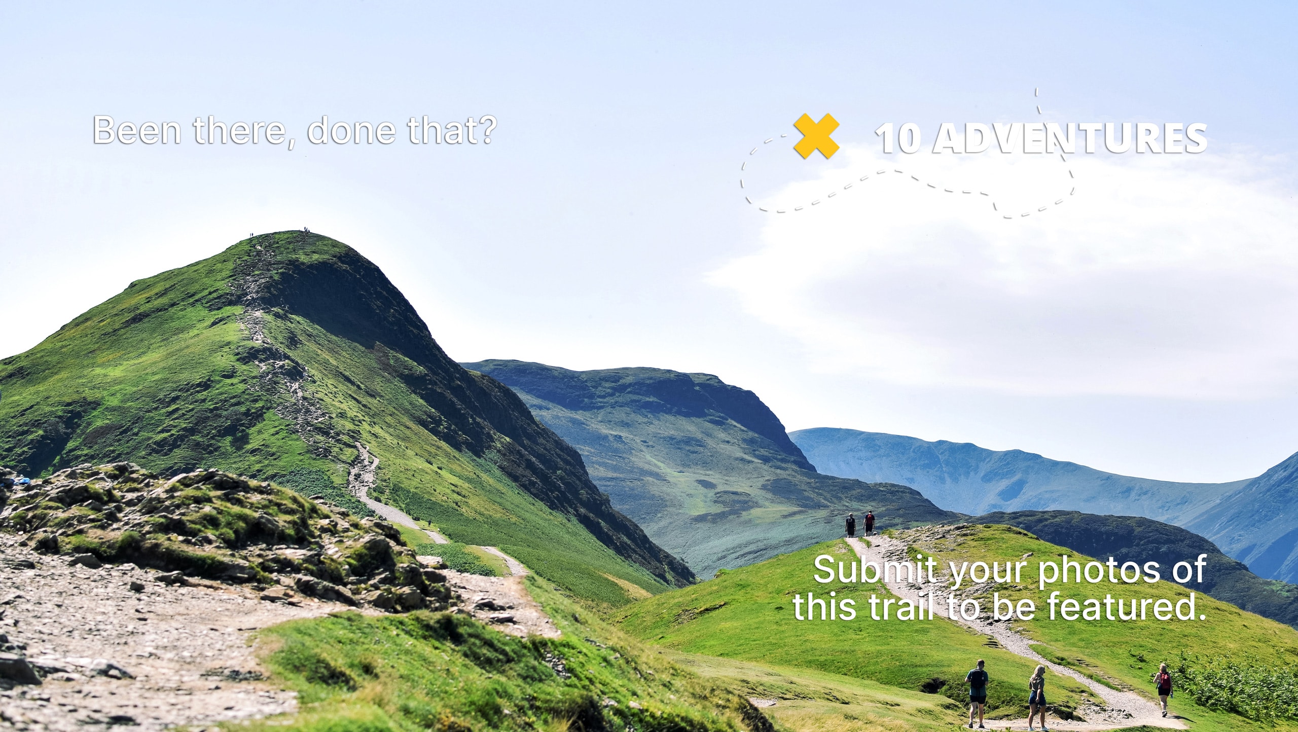
Alder Bench Trail
Difficulty Rating:
The Alder Bench Trail is a fun hiking route South Fork, Colorado that features some slightly challenging terrain and scenic views of the Colorado landscape. While out hiking the trail, you will climb uphill through a beautiful forest filled with aspens, traversing a series of switchbacks before arriving at a meadow with nice views of nearby mountain peaks. Hikers should take note that the trailhead is located just beyond a gate next to the Alder Guard Station on FR610.
Getting there
The Alder Bench Trailhead can be found along Forest Service Road 610, just 1.8mi north of the Rio Grande Golf Club and Resort.

About
| Backcountry Campground | No |
| When to do | April-November |
| Pets allowed | Yes |
| Family friendly | Older Children only |
| Route Signage | Average |
| Crowd Levels | Low |
| Route Type | Out and back |
Alder Bench Trail
Elevation Graph
Weather
Alder Bench Trail Description
If you enjoy putting in a little bit of hard work to better enjoy your views, then you will certainly enjoy the Alder Bench Trail. There might be more scenic viewpoints in the area, but the mountain scenery, peaceful meadows, and serene forests are made all the better after slogging your way uphill through the steep, switchbacking terrain.
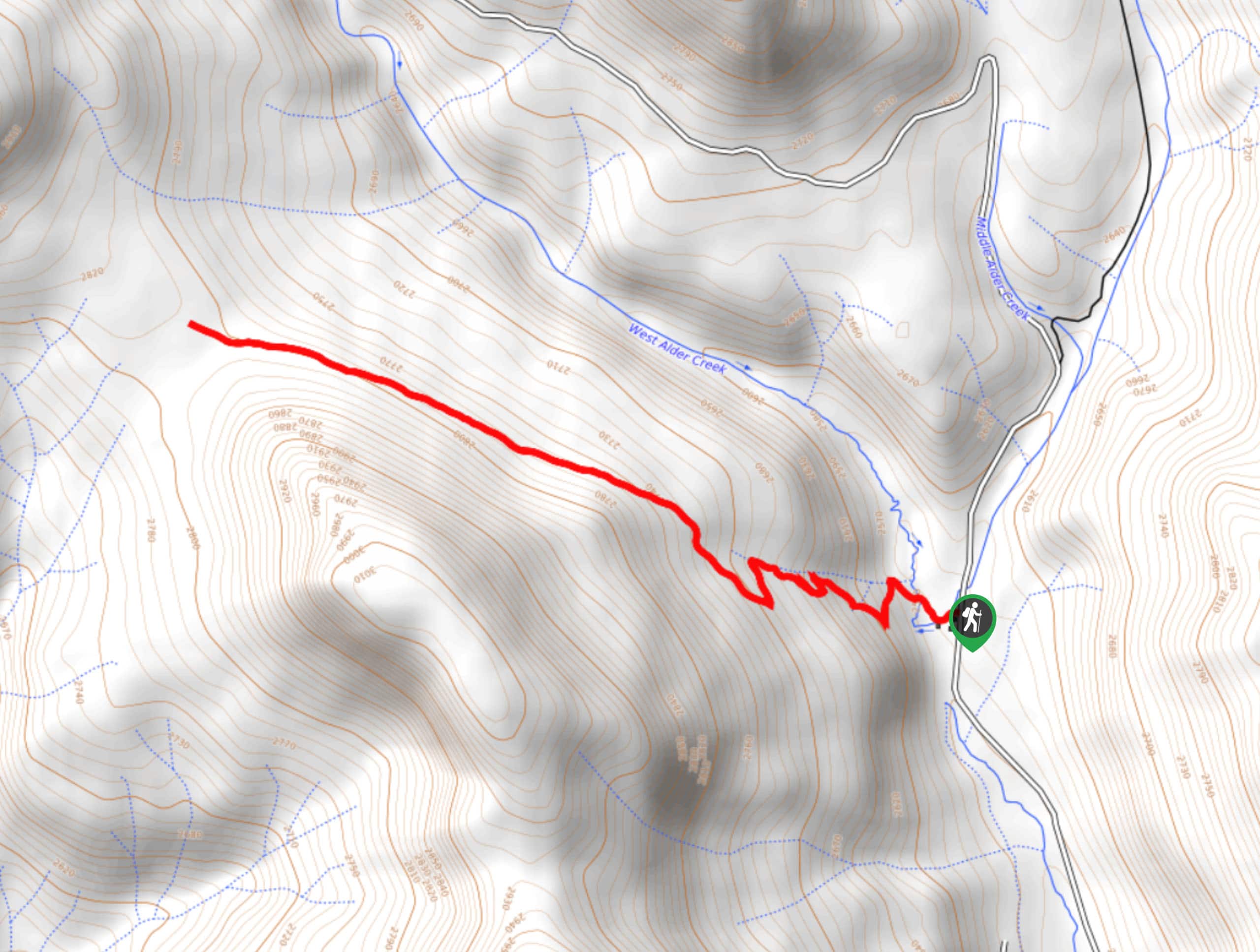
Setting out from the trailhead next to the Alder Guard Station, you will make your way to the west along East Alder Creek and begin climbing uphill through the tree cover. This initial portion of the route is quite steep, so take your time as you work your way through the switchbacks and enjoy the woodland scenery.
Eventually, the trail will begin to flatten out and you will break free of the tree cover at a beautiful little meadow. Take some time here to revel in the pleasant mountain scenery, before heading back down along the same trail to return to the trailhead.
Similar hikes to the Alder Bench Trail hike

Twin Buttes and Lightner Creek Loop Trail
The Twin Buttes and Lightner Creek Loop Trail is a great hiking route in Durango, Colorado that features some challenging…

Meadow Loop via Horse Gulch Trail
The Meadow Loop via Horse Gulch Trail is a great hiking route in Durango that will take you uphill for…

The Ridge Trail
The Ridge Trail - also known as Raiders Ridge Trail - is an amazing hiking route in Durango, Colorado that…
Comments