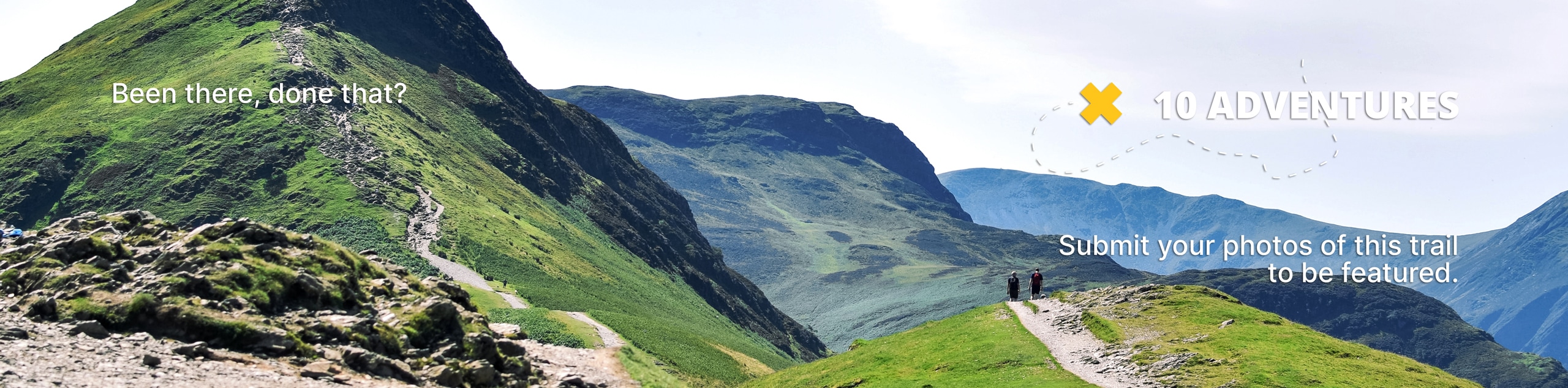
Cutler Creek Trail
View Photos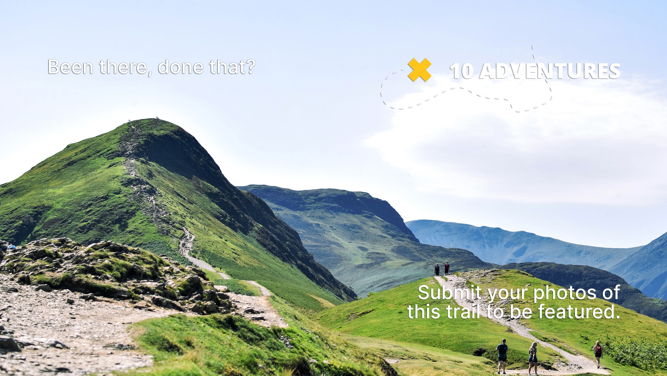
Cutler Creek Trail
Difficulty Rating:
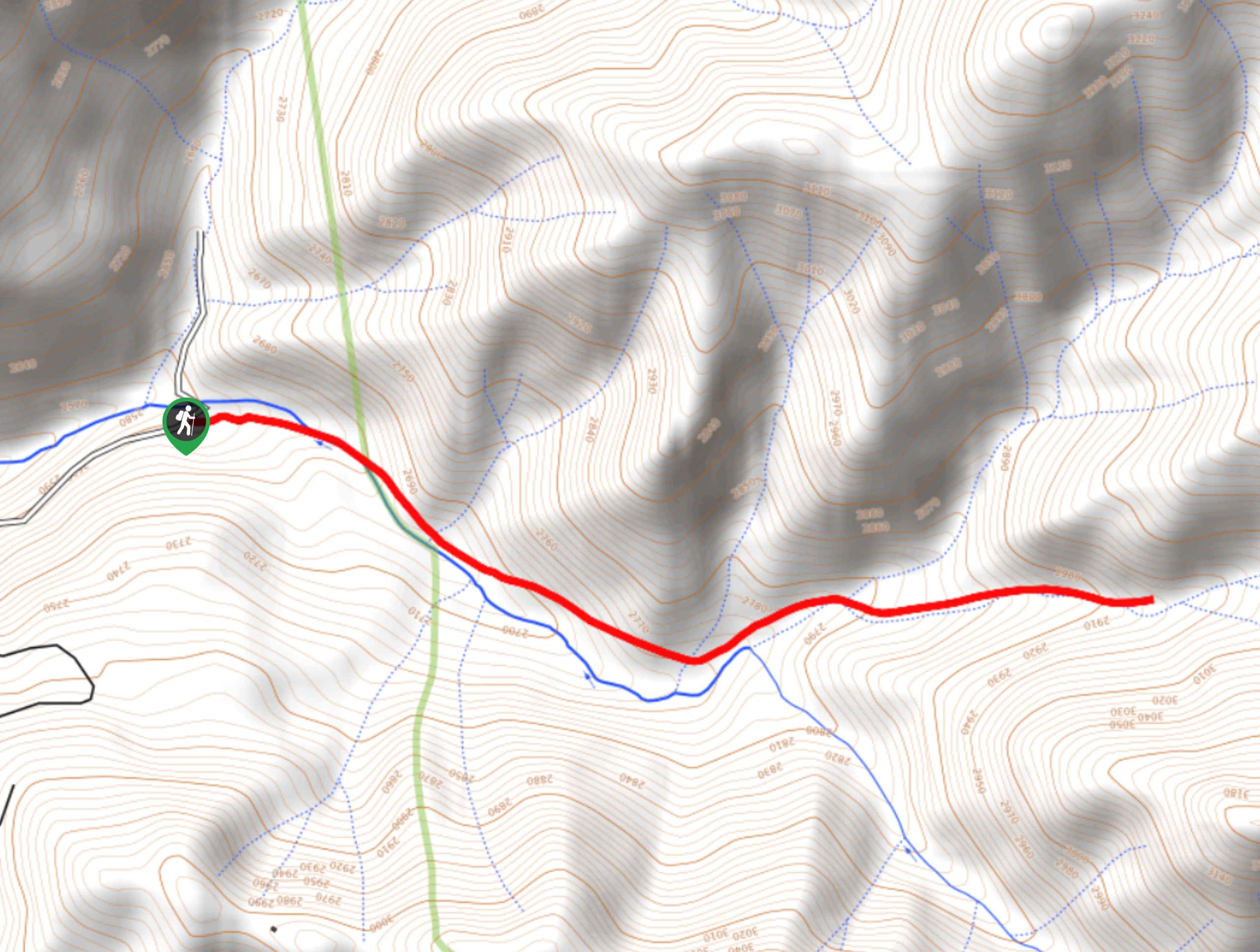
The Cutler Creek Trail is a pleasant hiking route in Colorado that will take into the San Juan Mountains along a winding creek bank. While out hiking the trail, you will climb uphill alongside Cutler Creek, enjoying the views of the surrounding forests and mountains, before making the return journey out again. As the road leading into the trailhead is very rough and rocky, you will need a 4x4 vehicle with high clearance to safely reach it.
Getting there
The trailhead for the Cutler Creek Trail can be found 5.6mi east of Portland, Colorado along County Road 14A.

About
| Backcountry Campground | No |
| When to do | May-October |
| Pets allowed | Yes |
| Family friendly | Older Children only |
| Route Signage | Average |
| Crowd Levels | Moderate |
| Route Type | Out and back |
Cutler Creek Trail
Elevation Graph
Weather
Cutler Creek Trail Description
If you are after a shorter hiking route in the San Juan Mountains and don’t mind taking a fairly rough drive to reach the trailhead, then you should consider exploring the natural beauty along the Cutler Creek Trail near Portland.
Setting out from the trailhead, you will make your way to the east and enter into the cover of the forest, where you will quickly join up with the banks of Cutler Creek. Following the water to the southeast, you will gradually climb uphill and enjoy views of the surrounding peaks, with the chance to spot a waterfall if there has been enough meltwater or rainfall passing through the area.
After reaching the endpoint of the route, you can turn back along the trail to relive the scenic views of the mountains and forests, before arriving back at the trailhead where you began.
Similar hikes to the Cutler Creek Trail hike

Twin Buttes and Lightner Creek Loop Trail
The Twin Buttes and Lightner Creek Loop Trail is a great hiking route in Durango, Colorado that features some challenging…

Meadow Loop via Horse Gulch Trail
The Meadow Loop via Horse Gulch Trail is a great hiking route in Durango that will take you uphill for…

The Ridge Trail
The Ridge Trail - also known as Raiders Ridge Trail - is an amazing hiking route in Durango, Colorado that…
Comments