Lake Fork Trail #716
View Photos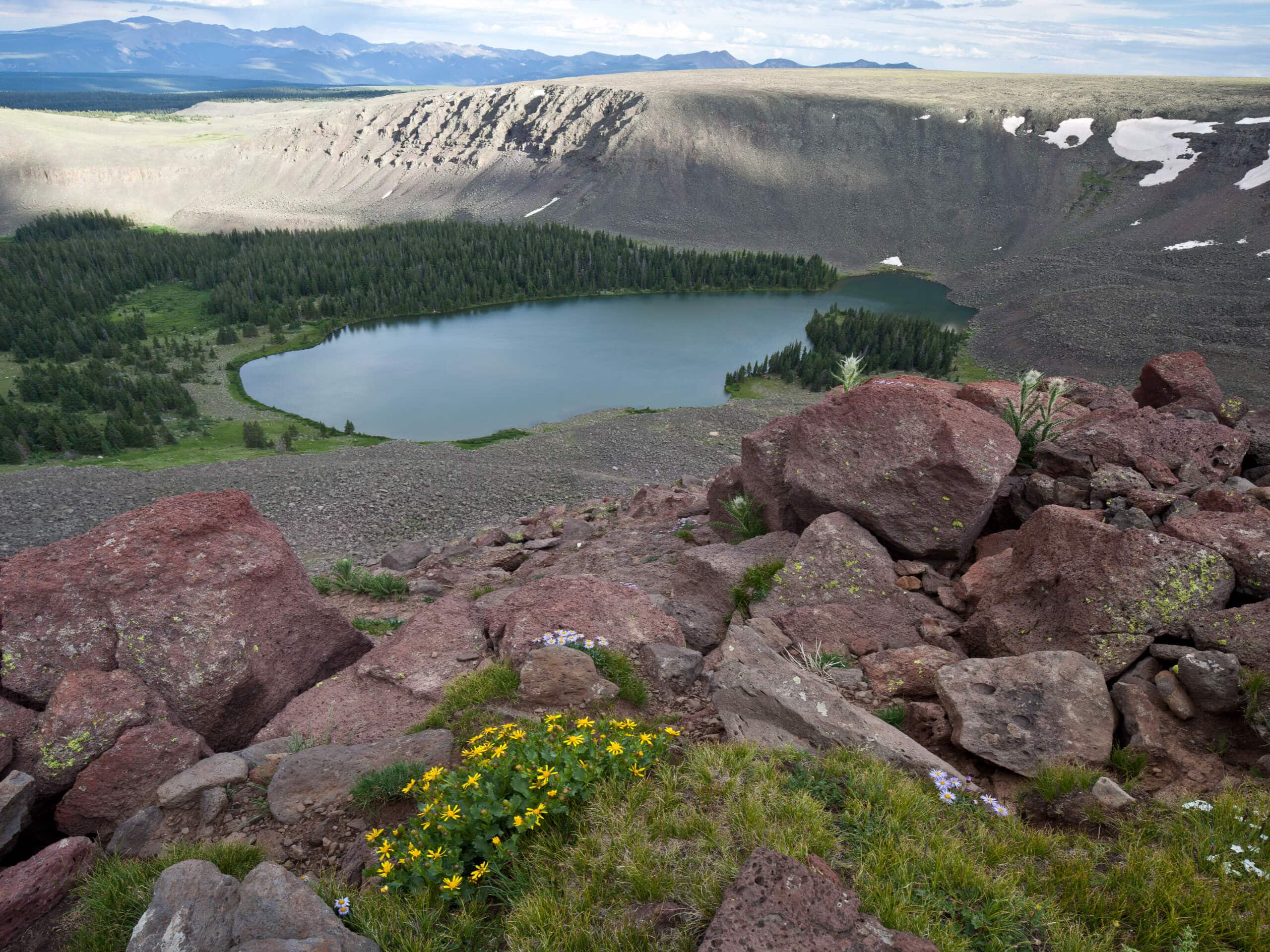
Lake Fork Trail #716
Difficulty Rating:
The Lake Fork Trail #716 is a great outdoor adventure in the San Juan Mountains that will take you to the scenic shores of a backcountry lake. While out hiking the trail, you will traverse forest pathways and walk through beautiful meadows, before arriving at the peaceful edge of Big Lake. Although there are a few steep climbs along the route, this is a fantastic hike that can be enjoyed by the entire family.
Getting there
The trailhead for the Lake Fork Trail #716 can be found off Forest Service Road 140, near the Lake Fork Campground.

About
| Backcountry Campground | No |
| When to do | May-October |
| Pets allowed | Yes |
| Family friendly | Yes |
| Route Signage | Average |
| Crowd Levels | Moderate |
| Route Type | Out and back |
Lake Fork Trail #716
Elevation Graph
Weather
Lake Fork Trail #716 Description
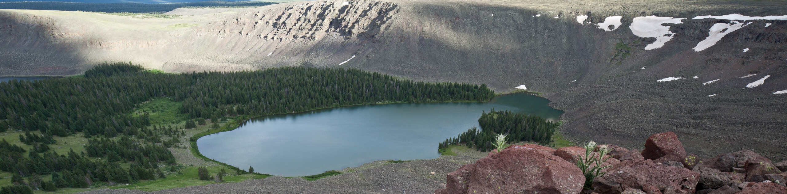
Whether you are looking to spend some time by the tranquil shores of a woodland lake or simply want to get outside for a bit of exercise in the Colorado wilderness, the Lake Fork Trail #716 is an excellent option to explore the beauty of nature and clear your head.
Setting out from the trailhead, you will initially head to the northeast across an open field, before turning to the northwest in order to climb uphill through the forest. Here, you will enjoy views of the surrounding forests, meadows, and lakes as you gradually work your way uphill towards the shores of Big Lake.
Once you arrive at the edge of the lake, you will be surrounded by beautifully scenic views of the surrounding mountains with the shimmering water of Big Lake in the forefront. After pausing for a rest, simply turn back along the same trail to return to the starting point of your adventure.
Similar hikes to the Lake Fork Trail #716 hike

Twin Buttes and Lightner Creek Loop Trail
The Twin Buttes and Lightner Creek Loop Trail is a great hiking route in Durango, Colorado that features some challenging…

Meadow Loop via Horse Gulch Trail
The Meadow Loop via Horse Gulch Trail is a great hiking route in Durango that will take you uphill for…
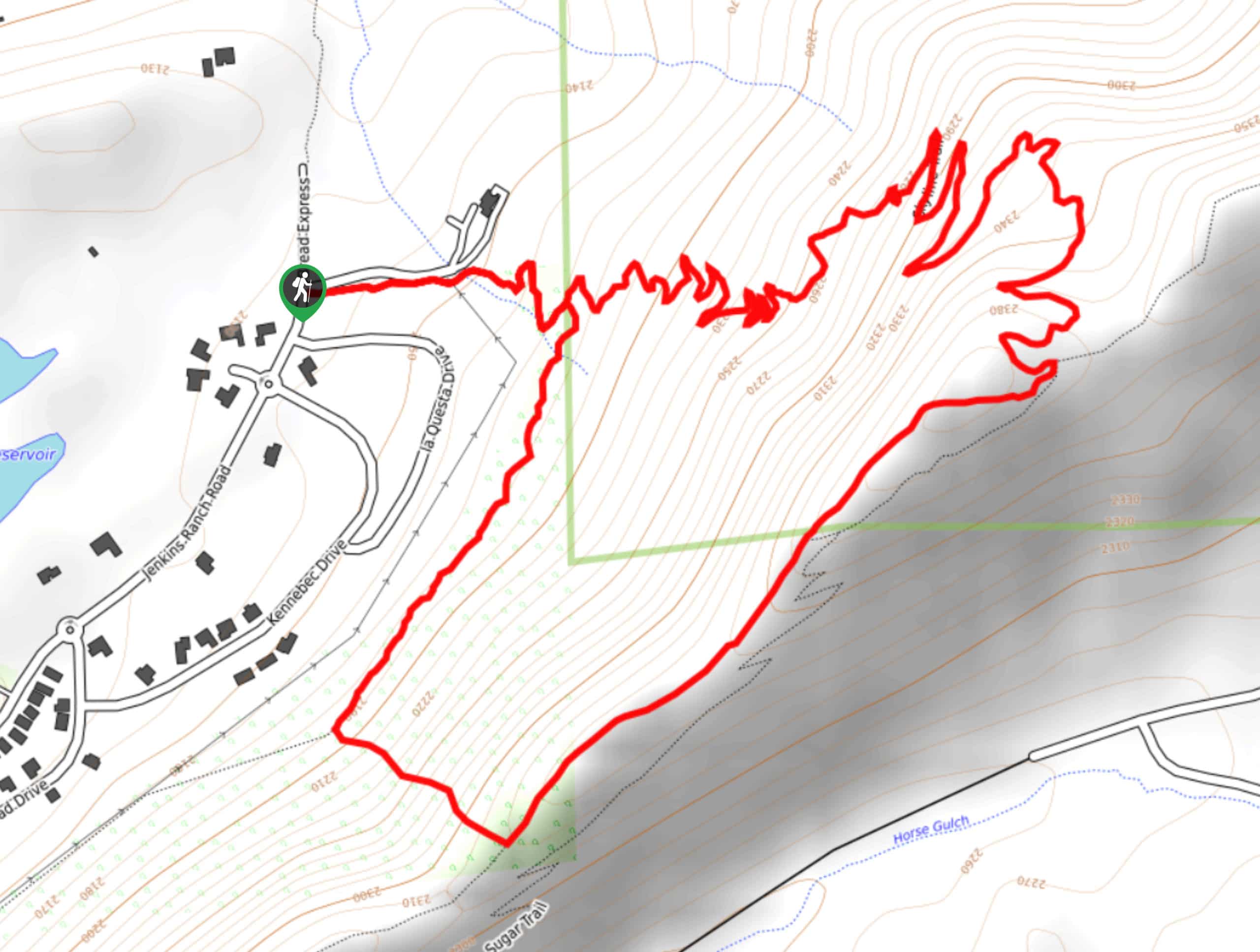
Skyline Trail from Jenkins Ranch Road
Hiking the Skyline Trail from Jenkins Ranch Road is a great outdoor experience in Durango, Colorado that offers scenic views…
Comments