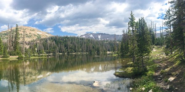
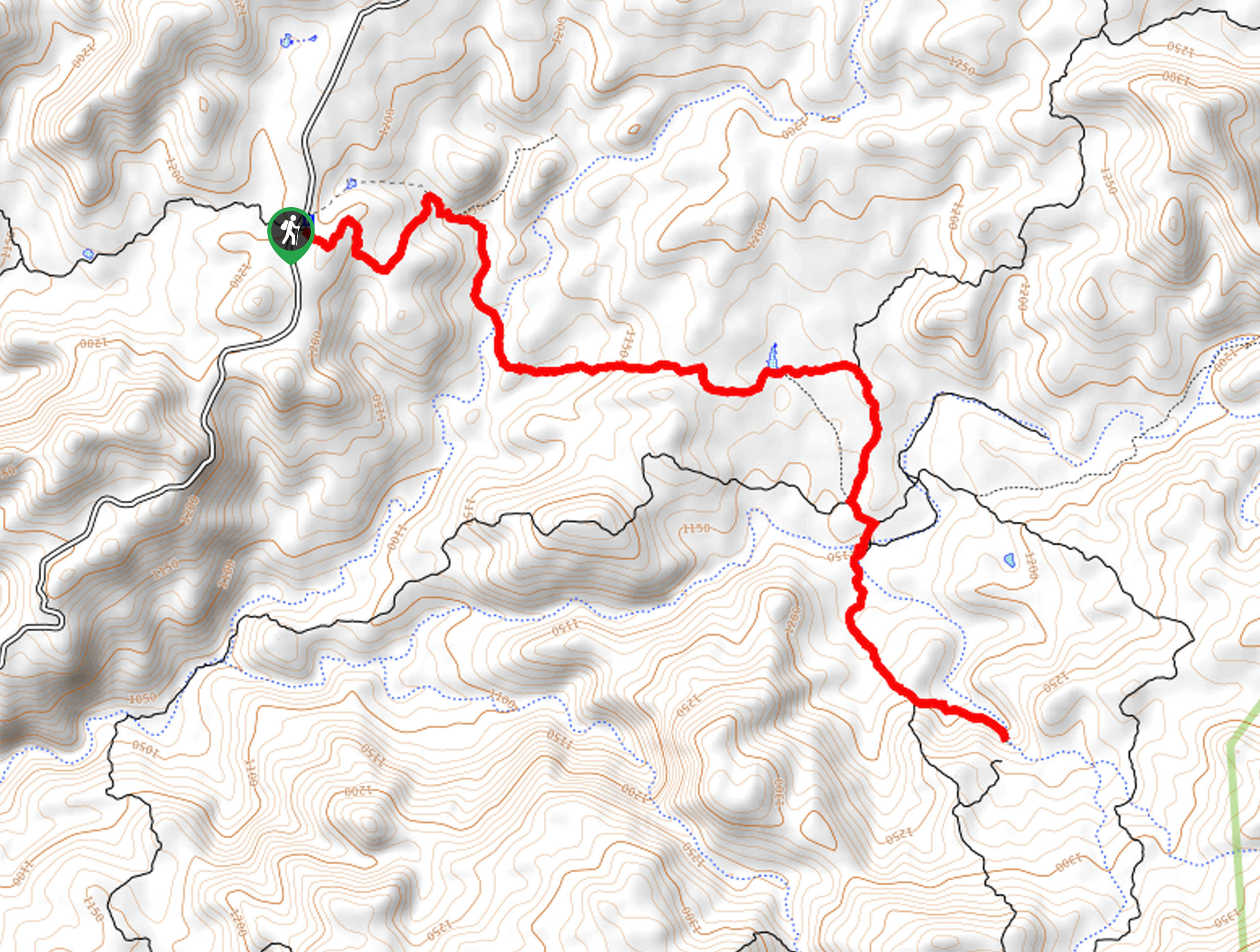
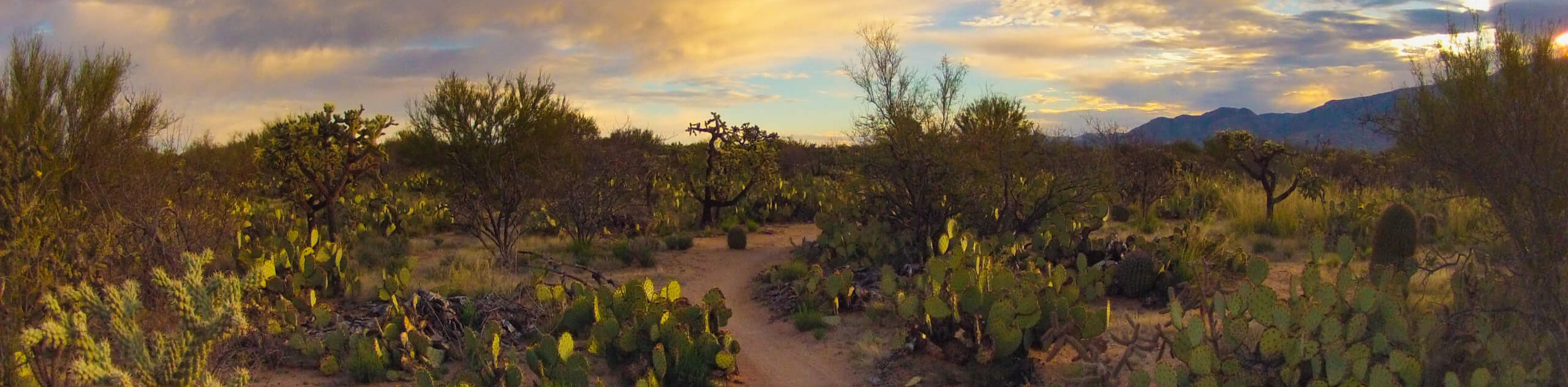
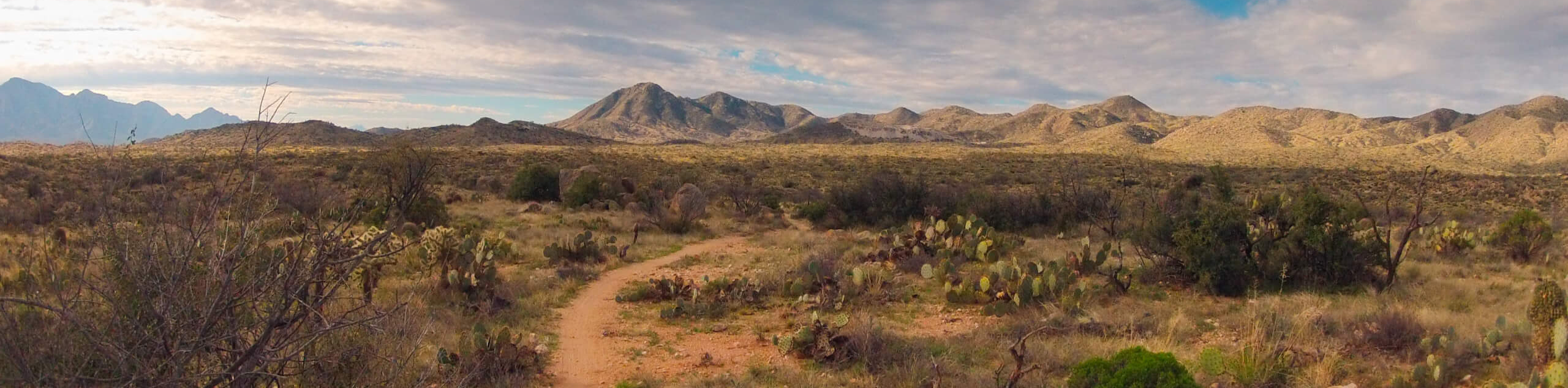
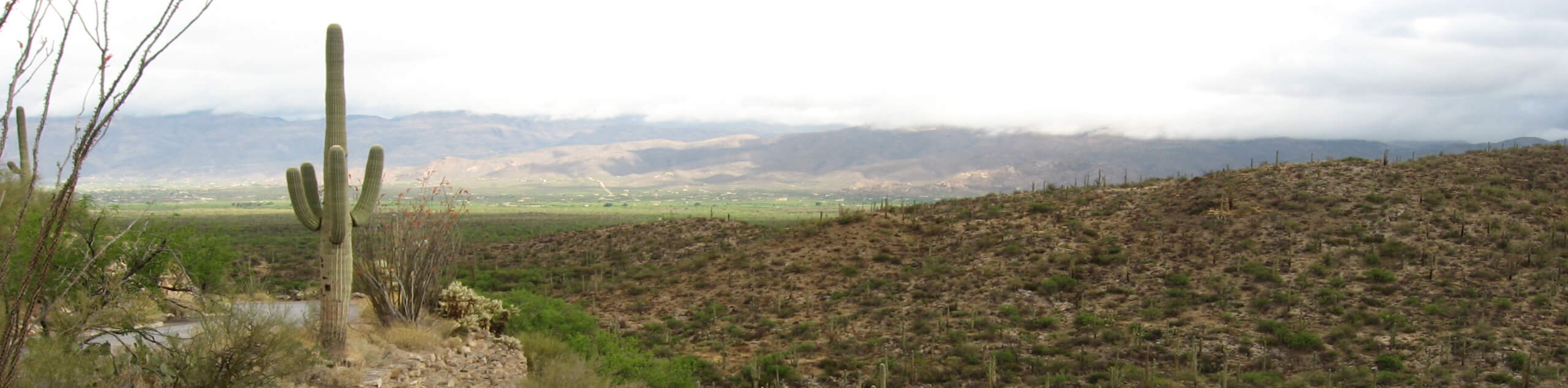
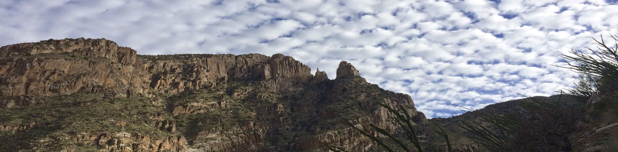
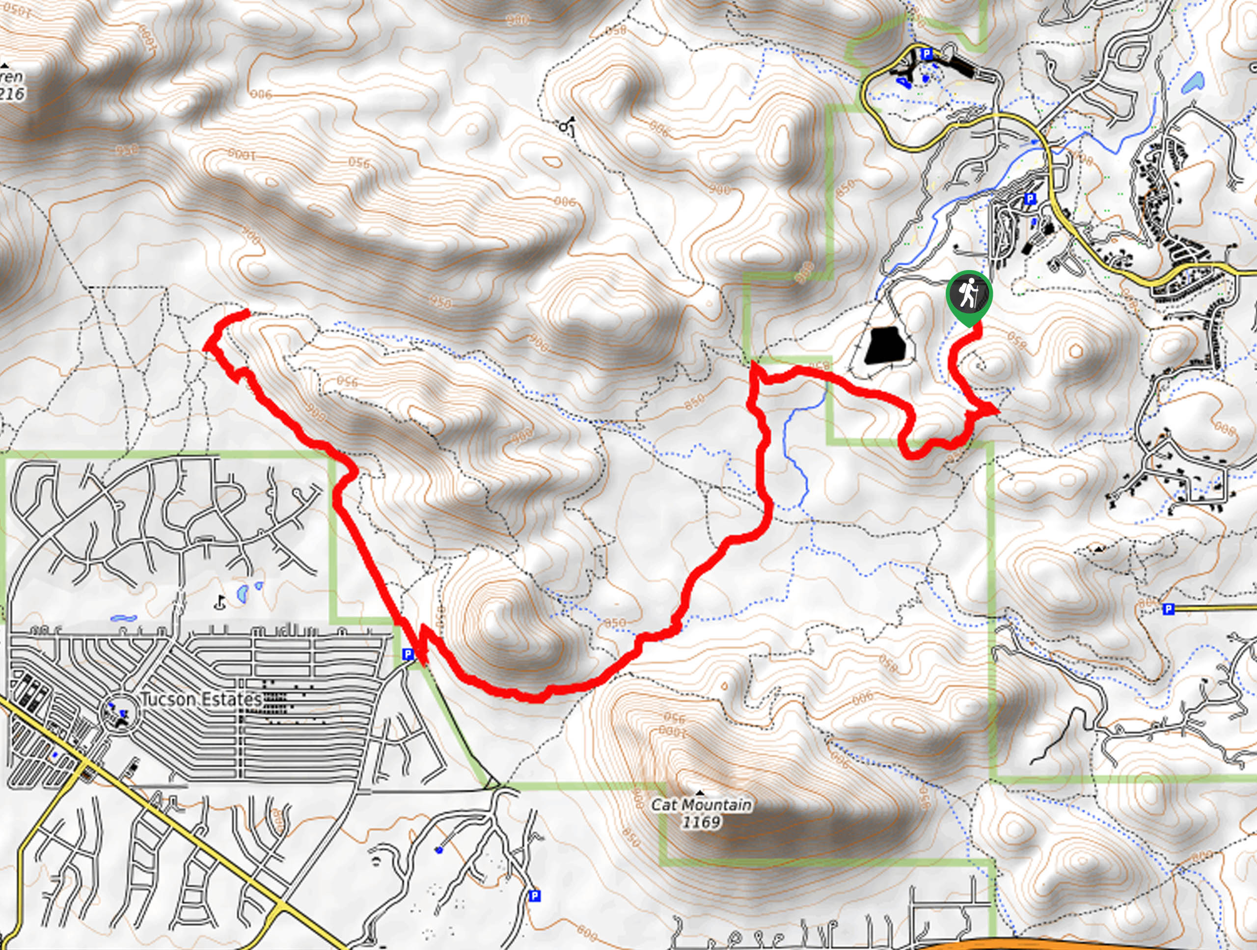
hikes in Tucson
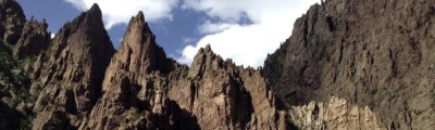
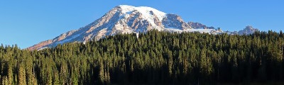
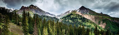
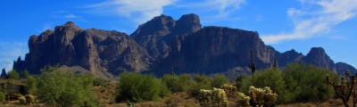
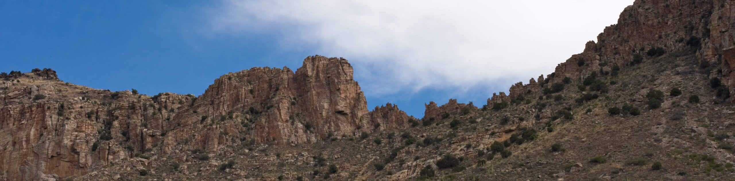
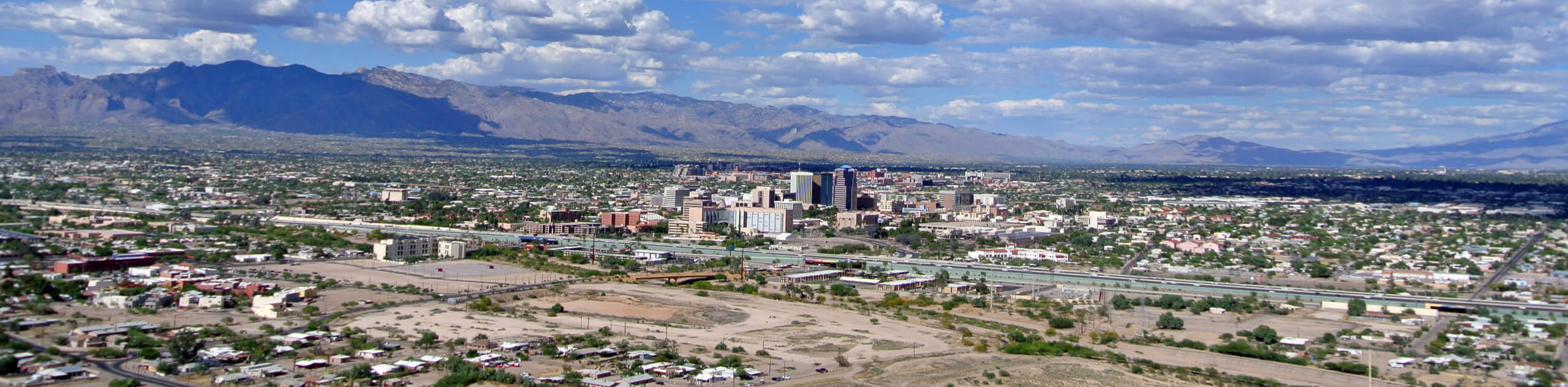
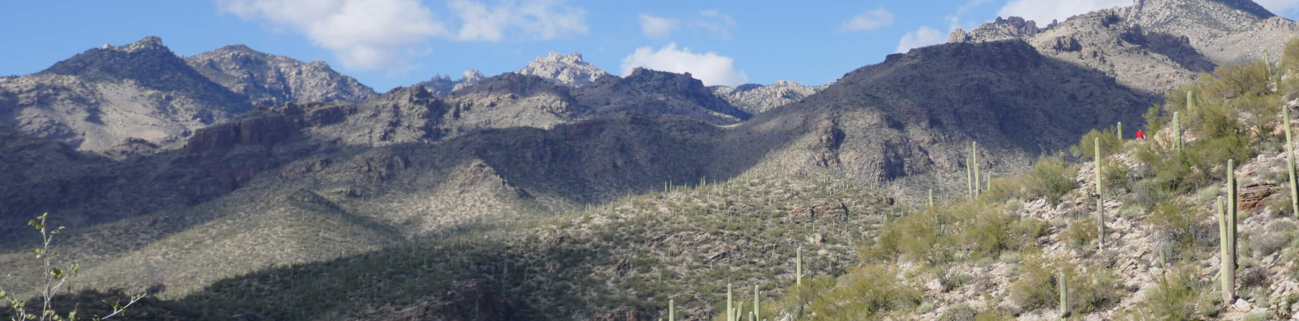
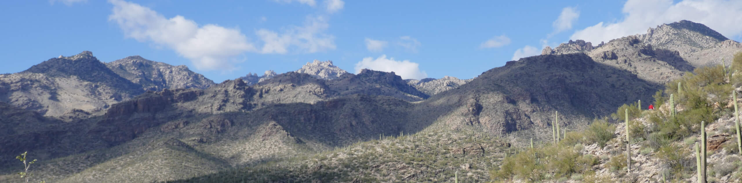
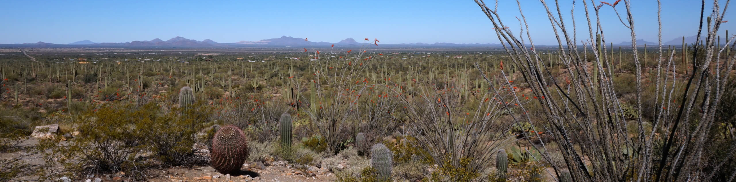
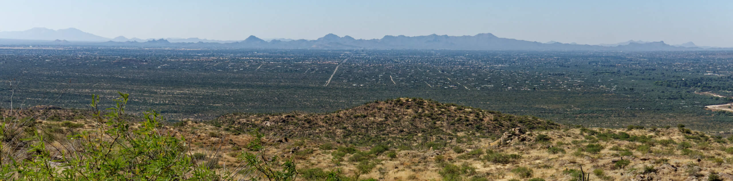
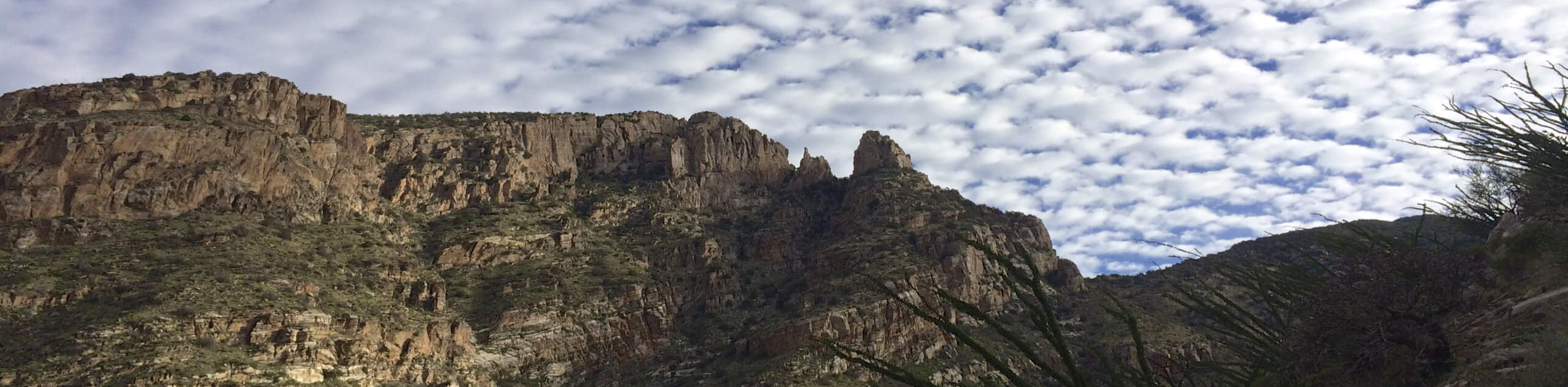
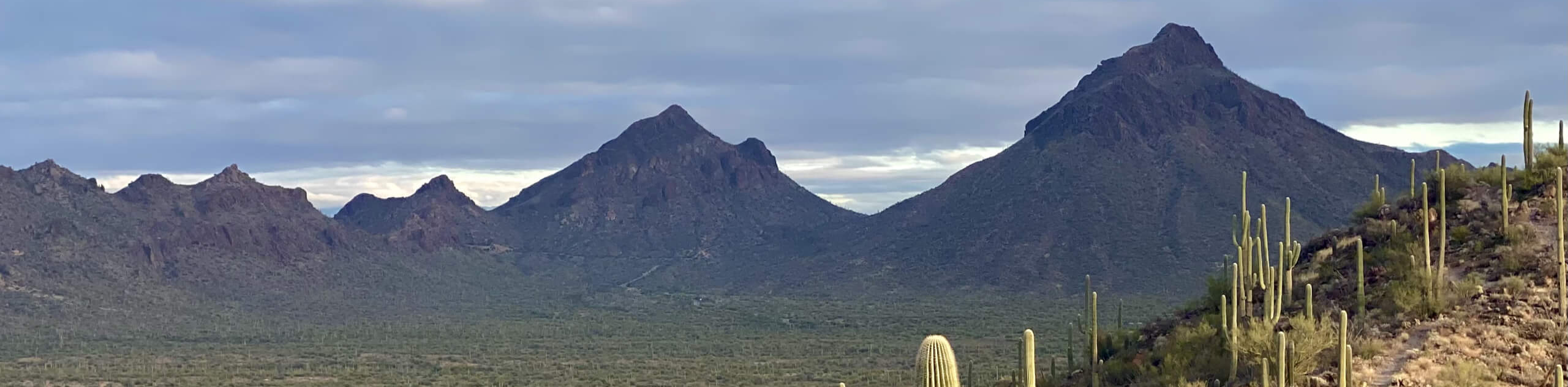
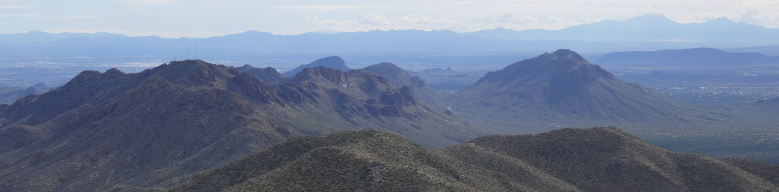
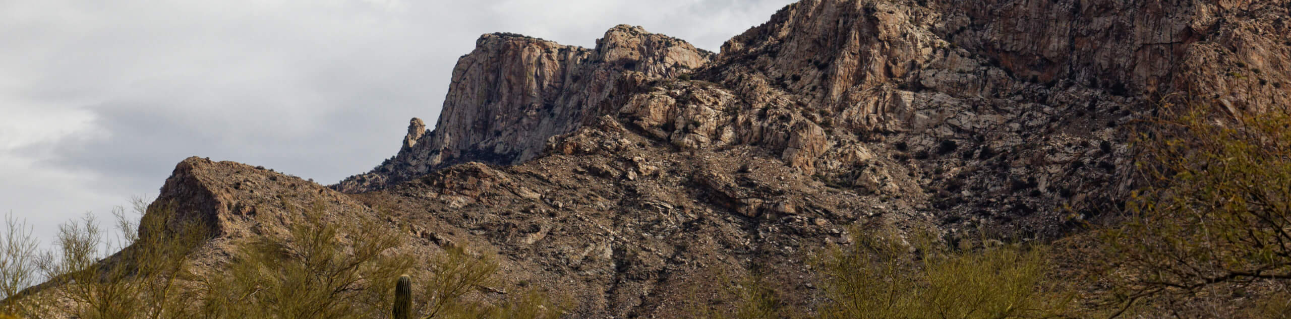
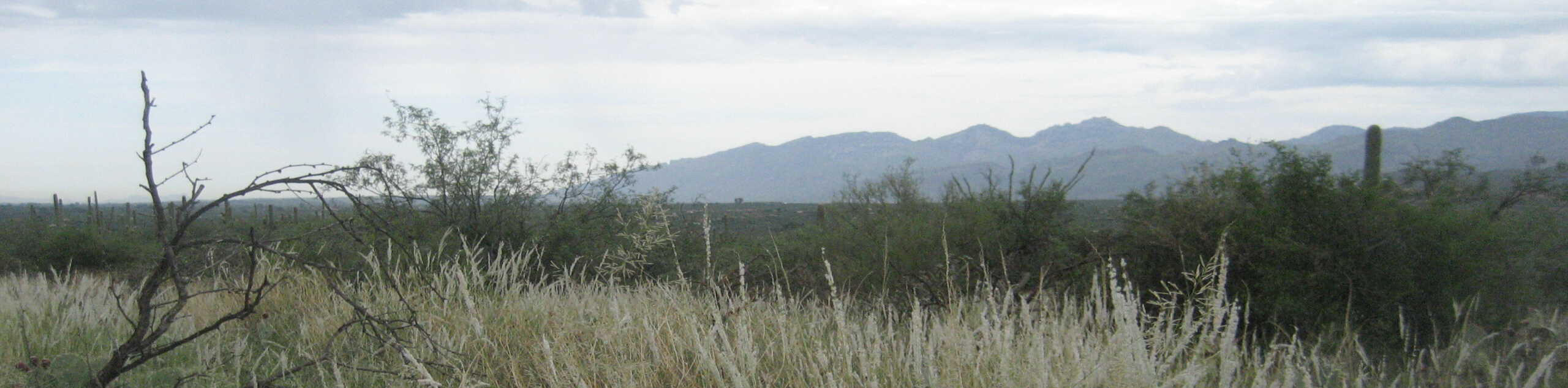
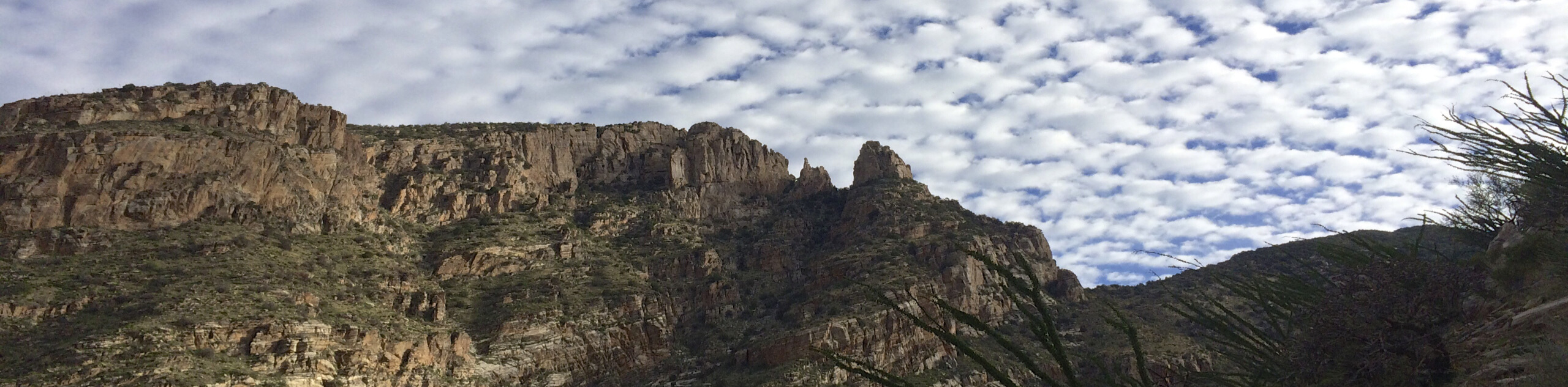
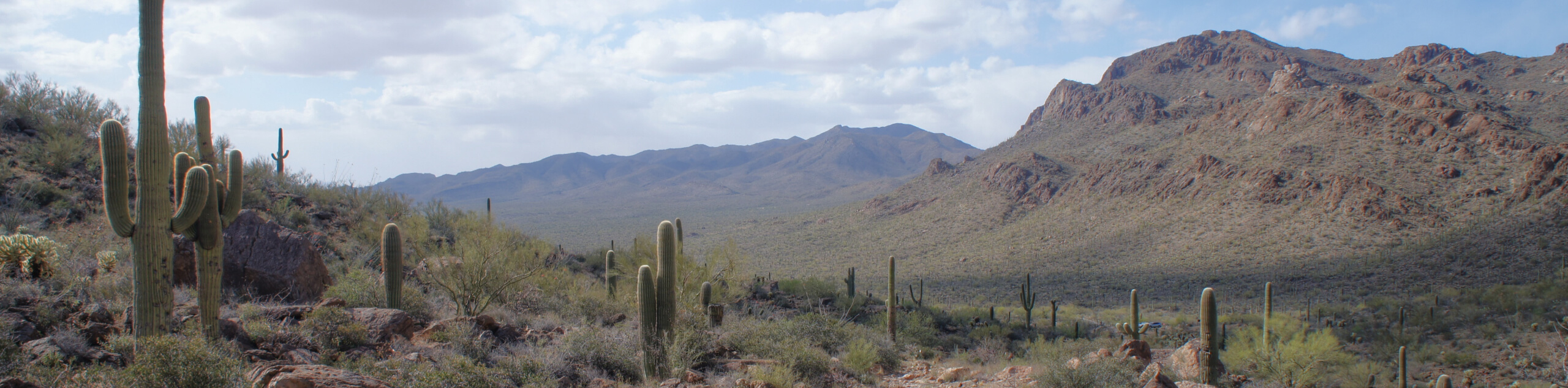
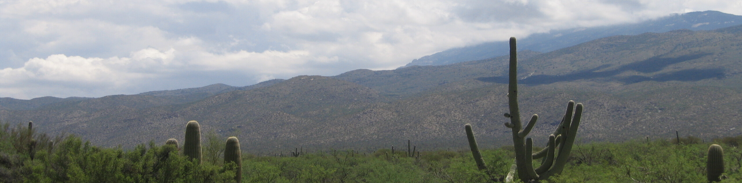
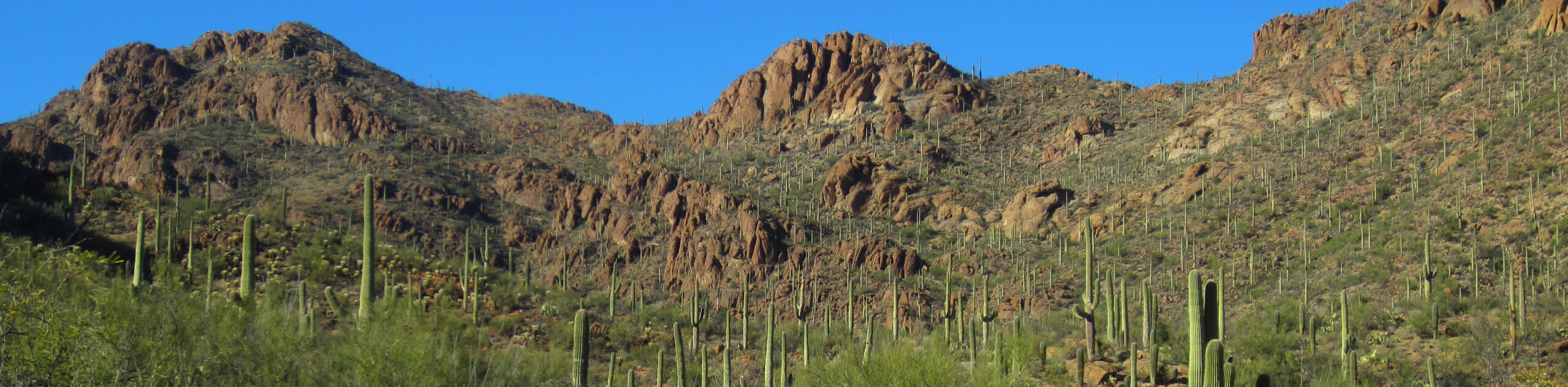
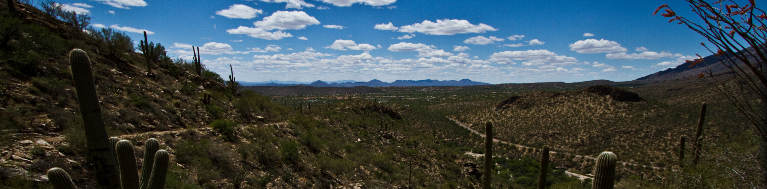
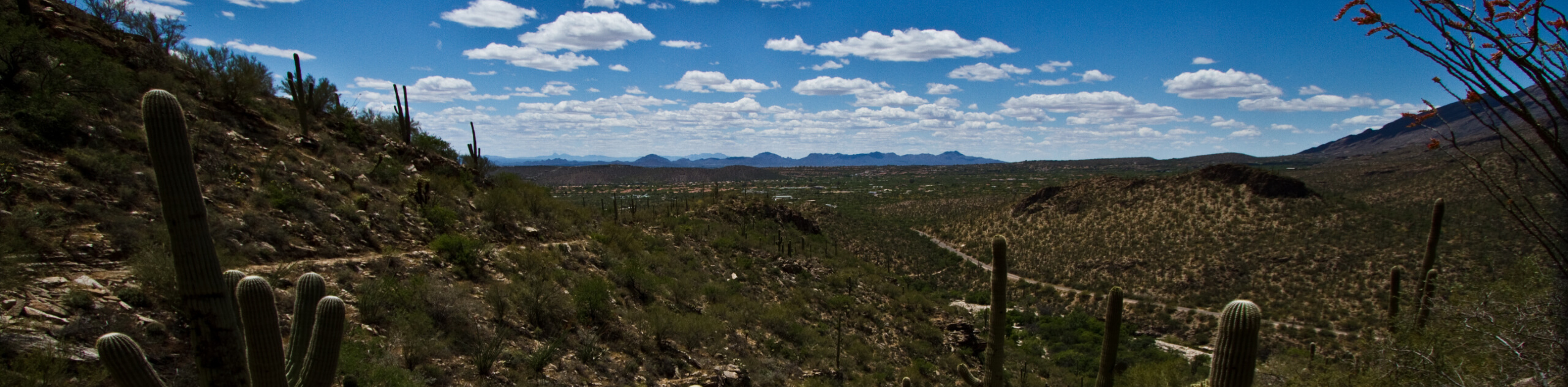
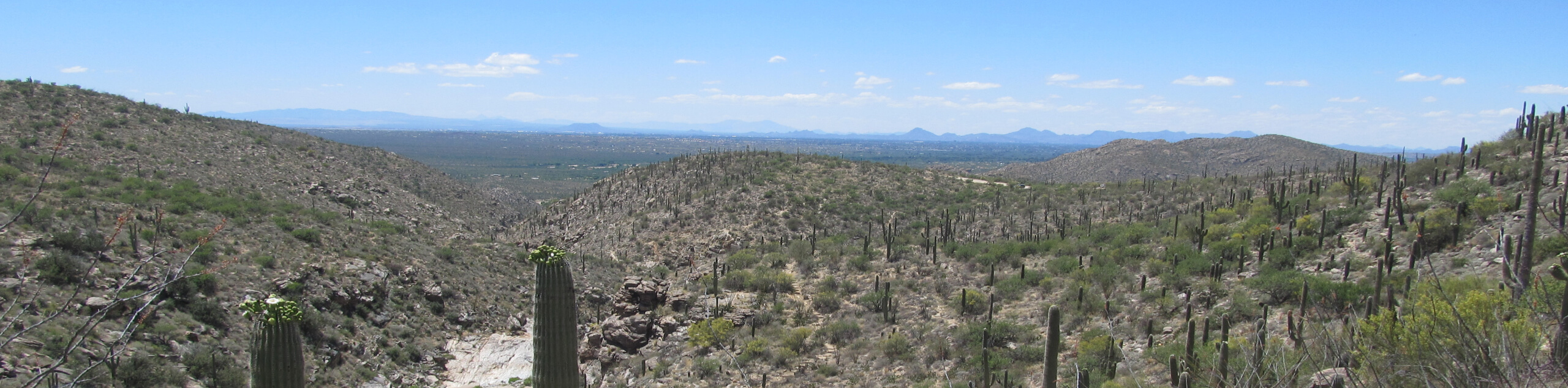
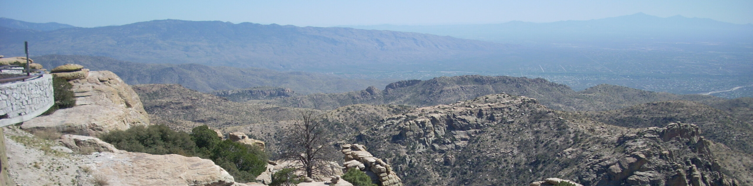
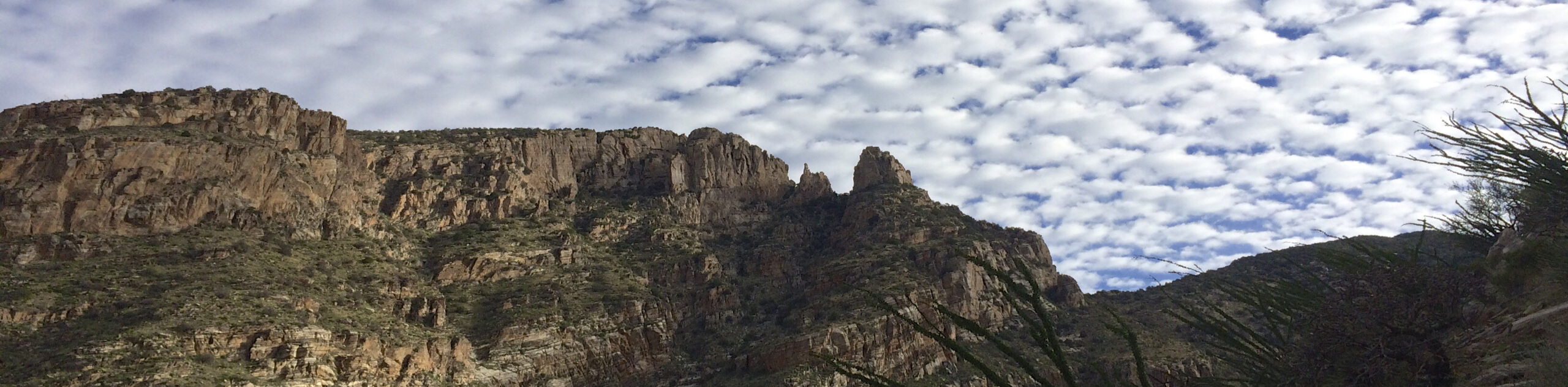
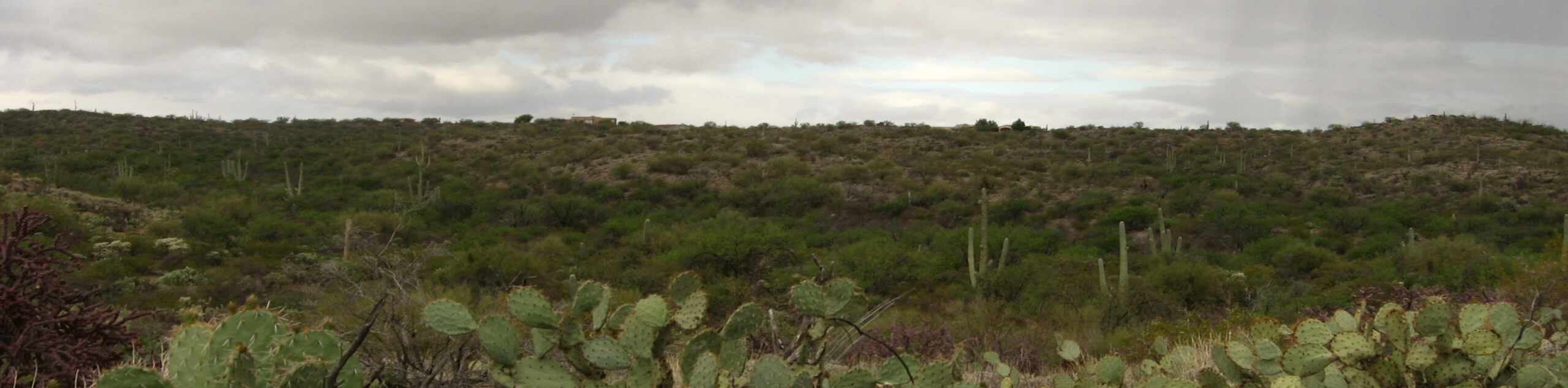
Too often underrated by Arizona’s hiking enthusiasts, Tucson can’t be looked over when planning an adventure to the Grand Canyon State. The city known for its college culture and excellent food has a secret: it’s got hundreds of hiking, mountain biking, and horseback riding trails to explore. With five mountain ranges in reach, it’s hard to know where to start. The good news is you won’t need to go far with so many quality trails within city limits, and you won’t struggle to find the right trail for you with a generous range of difficulty levels available.
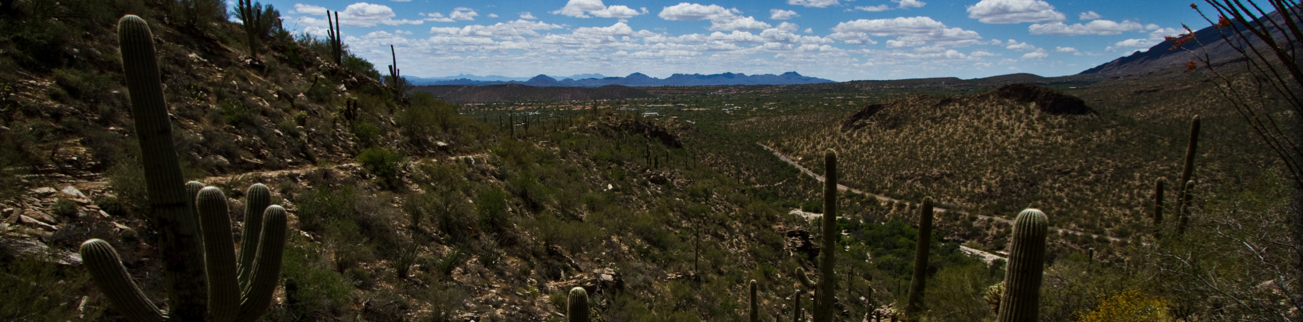
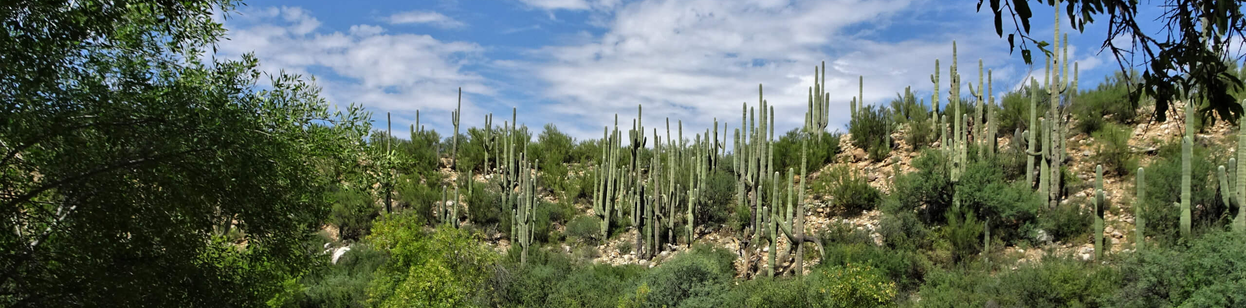
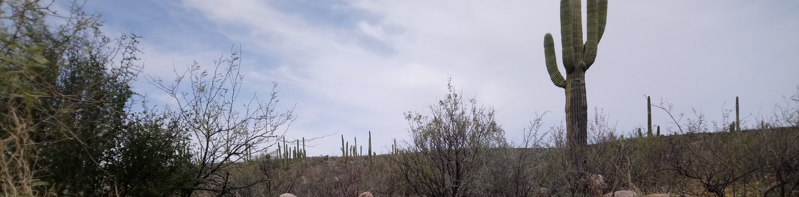
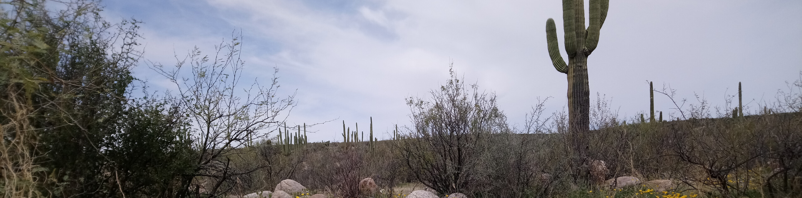
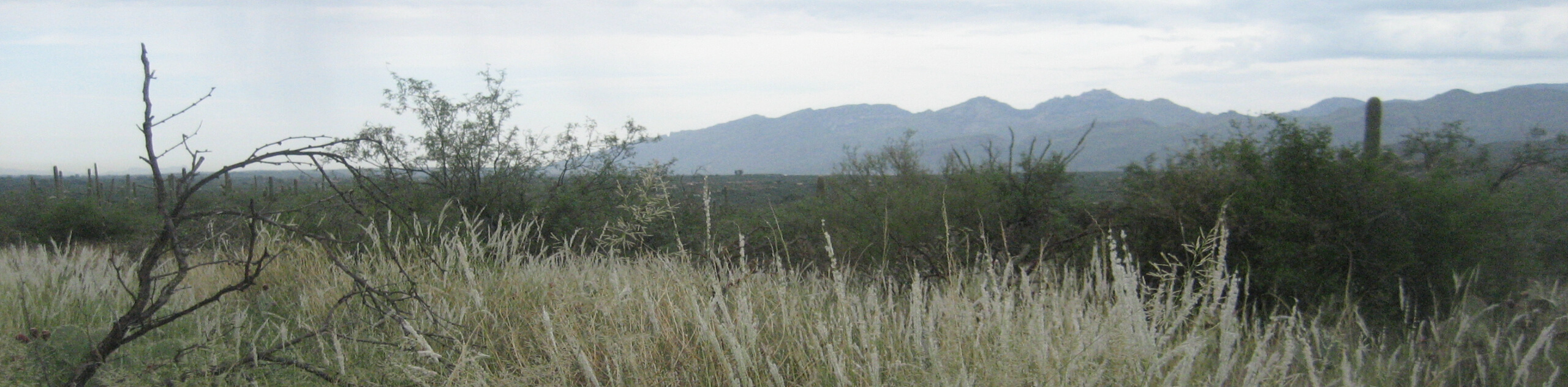
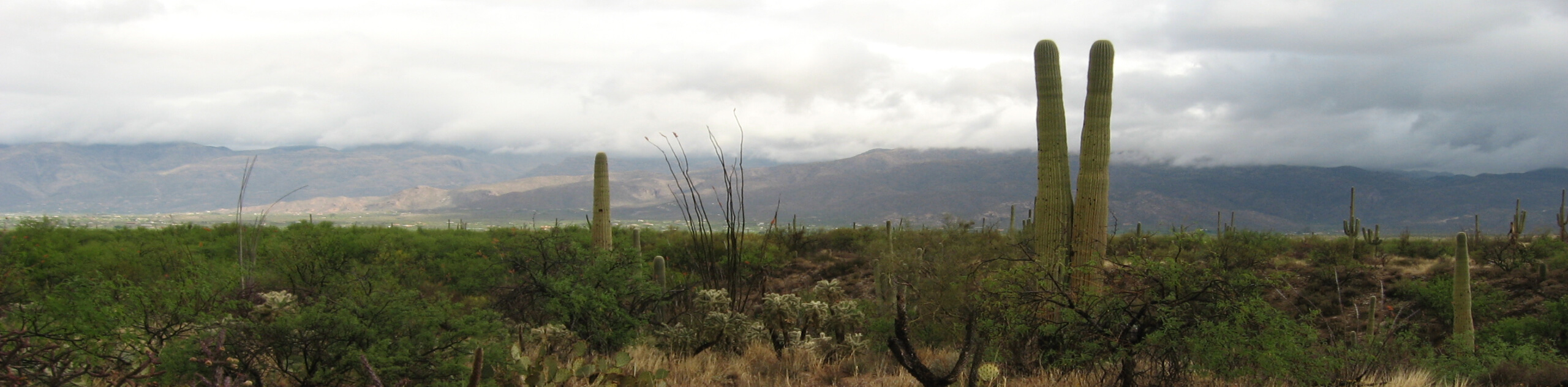
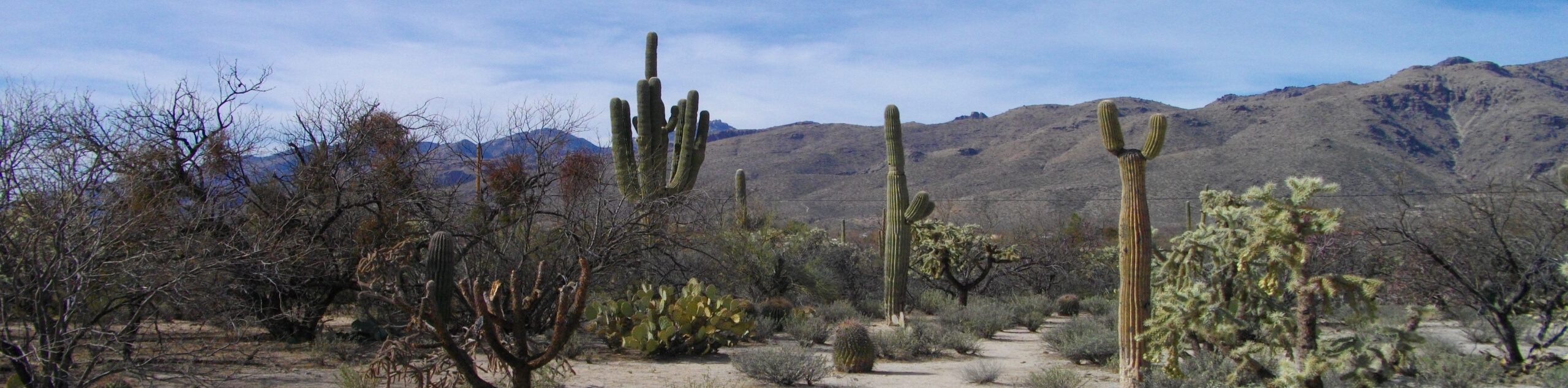
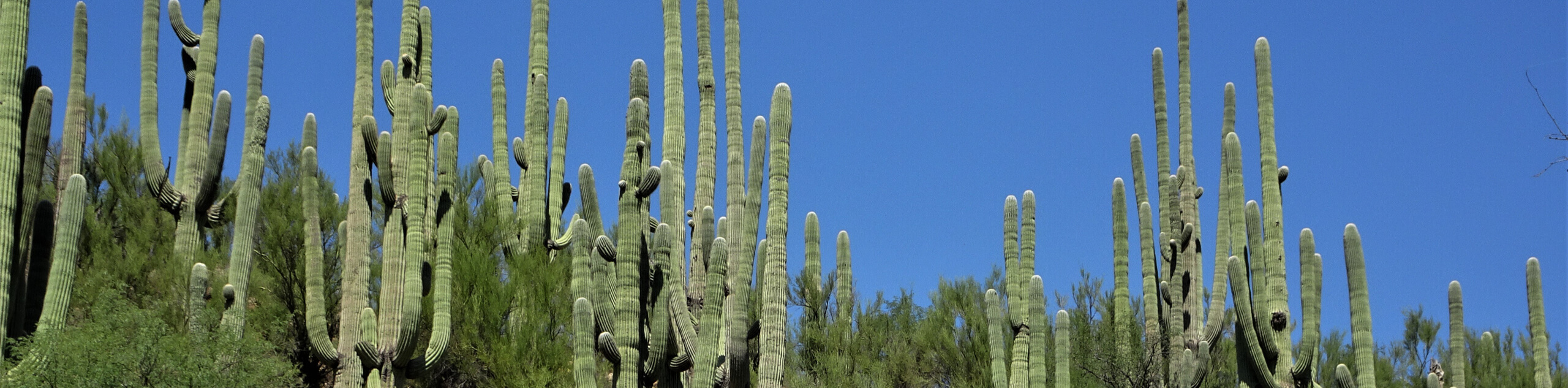
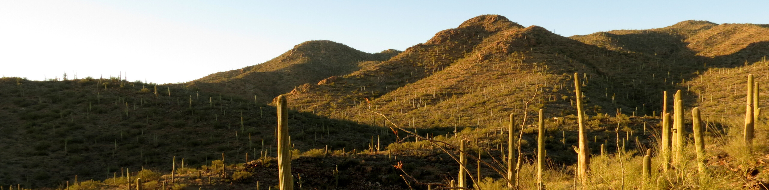
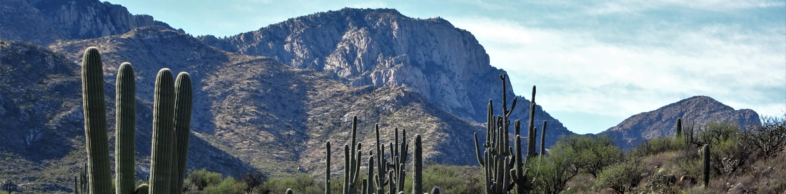
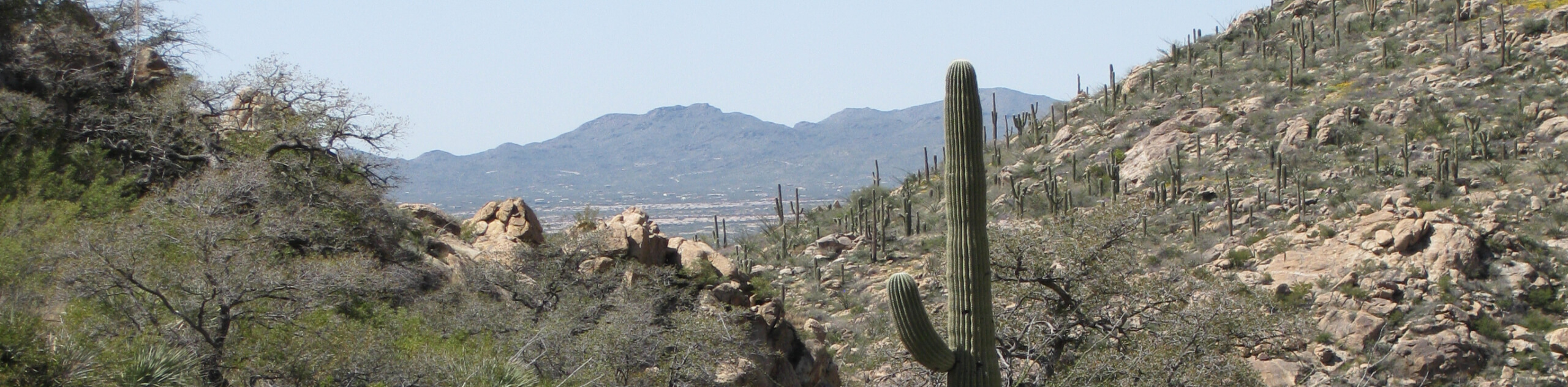
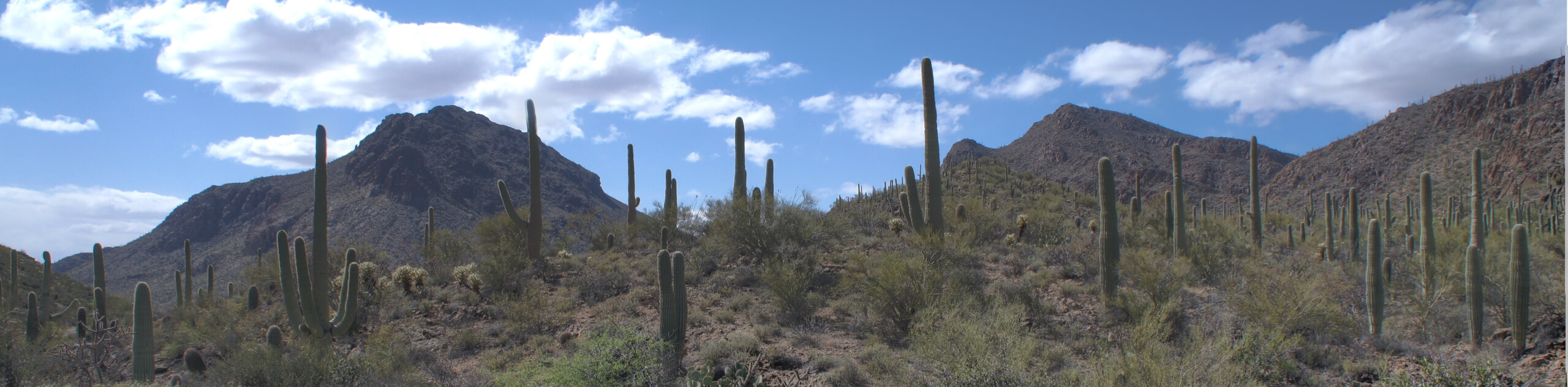
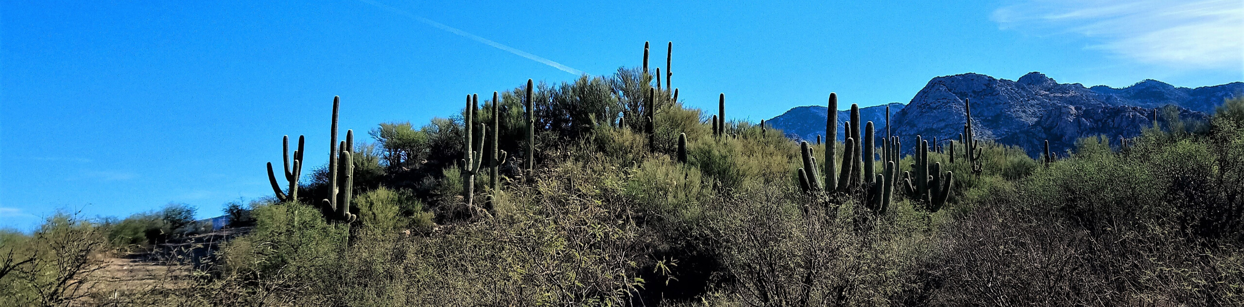
Wherever your adventures in Tucson take you, a few things will remain constant: the heat of the desert, the unique beauty of its ecosystem, and the never-ending saguaros that guide your way. Whether you’re exploring Tucson’s trails on two feet or otherwise, read on to see some of the top trails in and around the city.
15 Incredible Hikes in Tucson
Ready to start exploring? We’re making it easy to get going with 15 of our favorite hikes in Tucson. Our list includes short, easy trails, challenging treks, and everything in between. Work your way through as many as you can on the weekends or make the most of your downtime while visiting the city–you’ll want to keep exploring once you get a glimpse of those desert vistas.
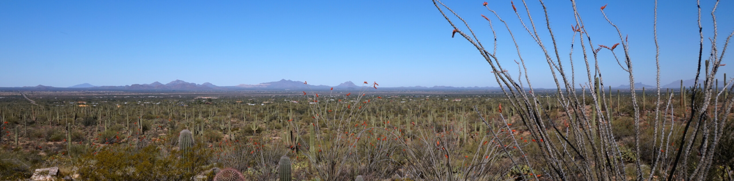
Our top hikes in Tucson are chosen to show off the quintessential desert scenery the city is known for. The good news is, this isn’t Sedona or the Grand Canyon. You’ll have some room to breathe, even on busy routes. While starting with these 15 hikes is a great way to get acquainted with Tucson’s hiking scene, remember that we’ve got plenty more route guides to keep you adventuring.
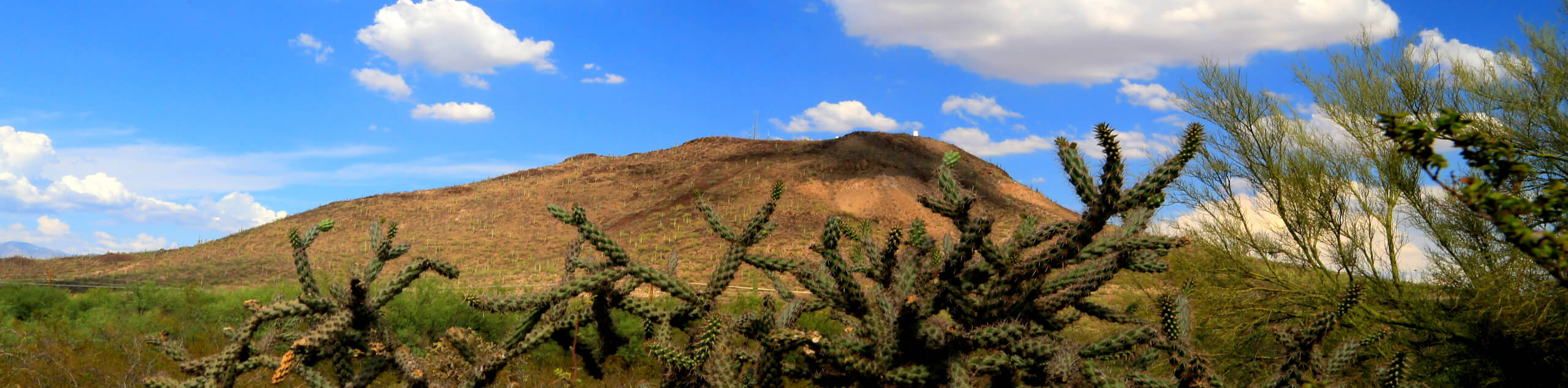
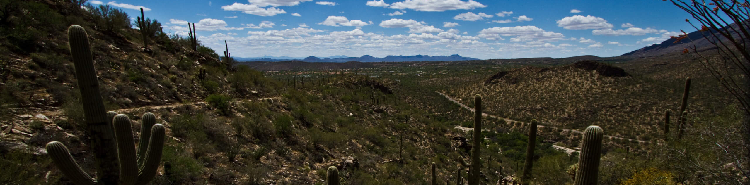
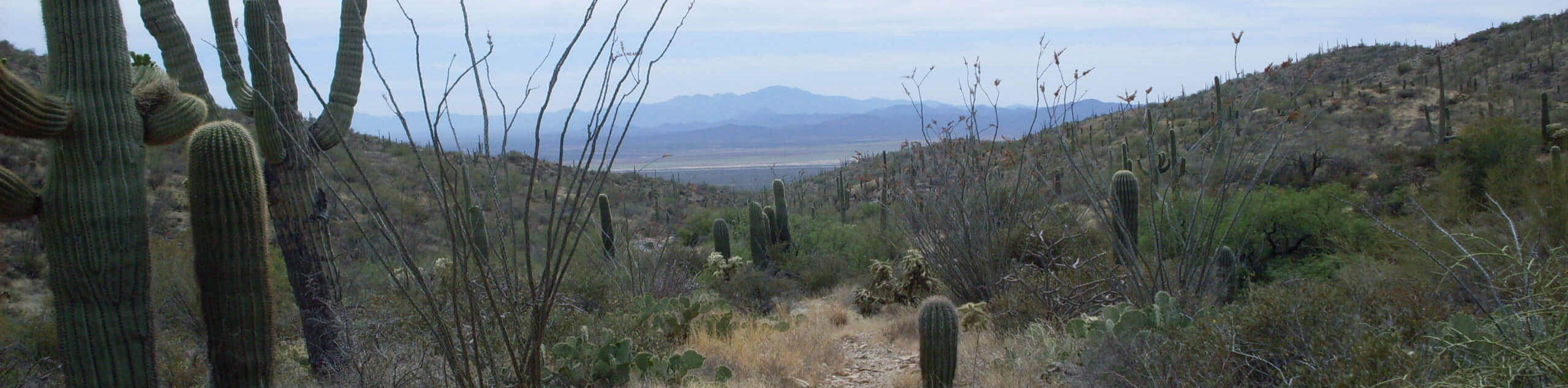
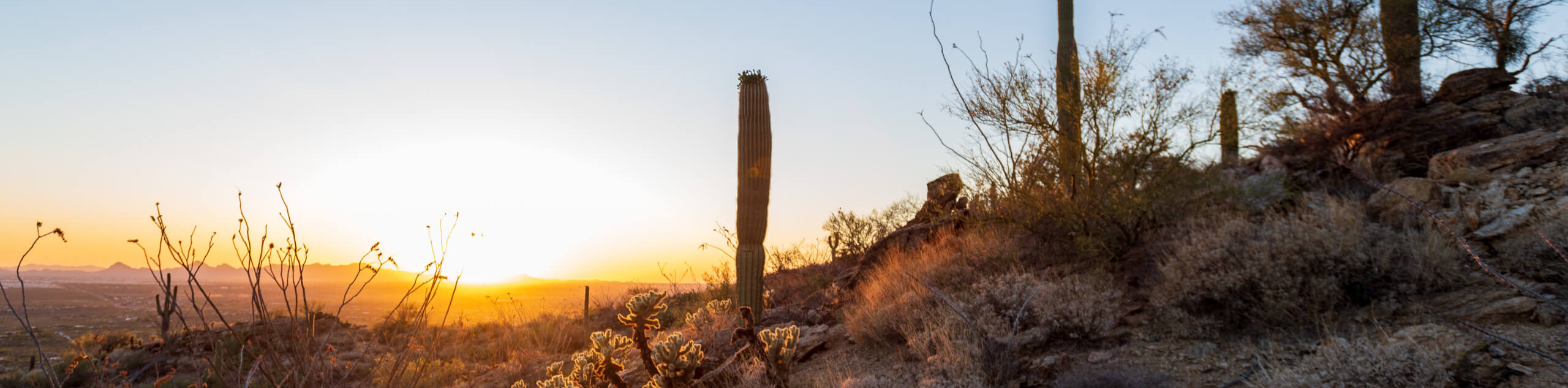
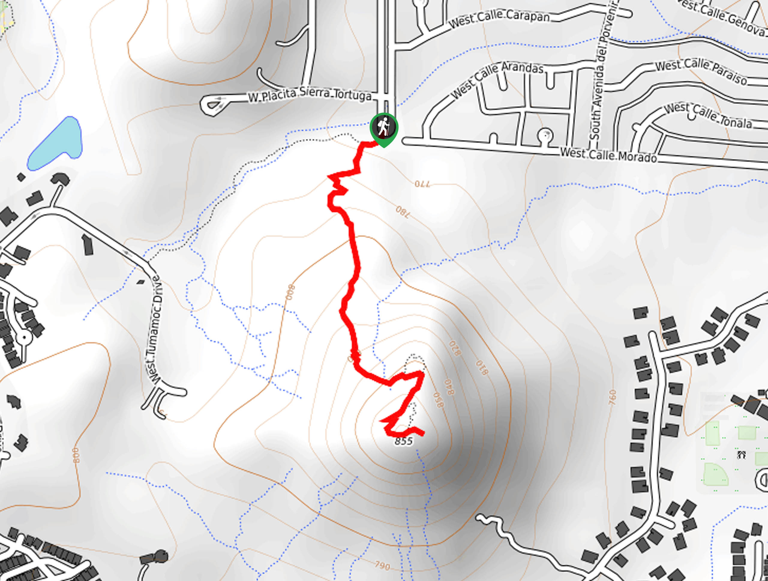
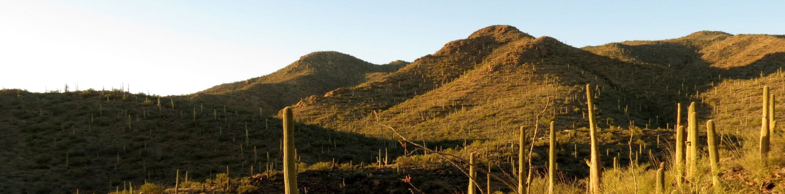
- Tumamoc Hill - Tumamoc Hill is one of the most popular hikes in Tucson thanks to its great city views and relatively short length. The route is paved, which is a plus for hikers who prefer or require even footing. Because Tumamoc Hill is on university property, it’s the only hike in the Tucson Mountain Range that is open for night hiking. If you want to watch the sunset or sunrise, this is the place to be!
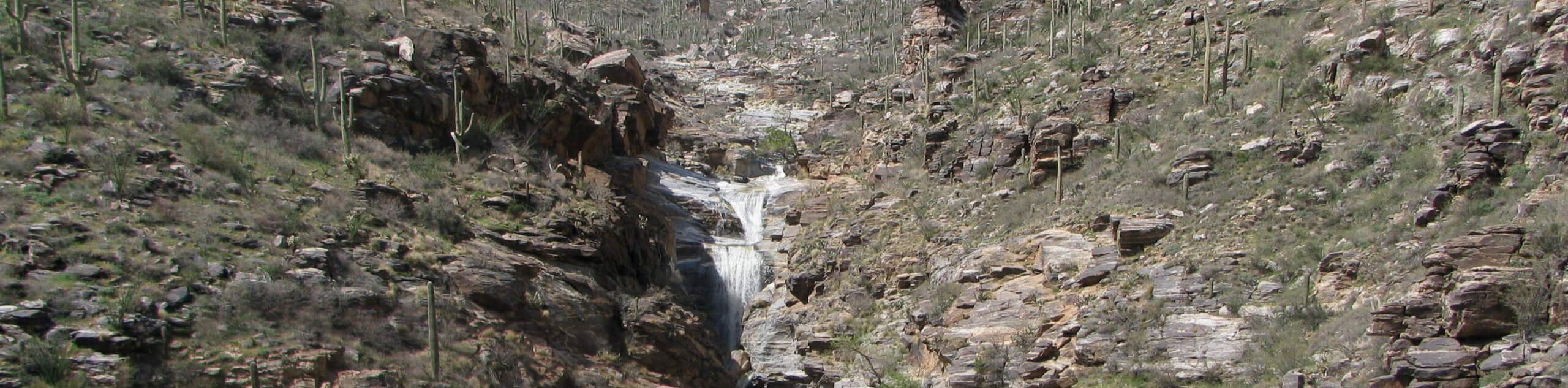
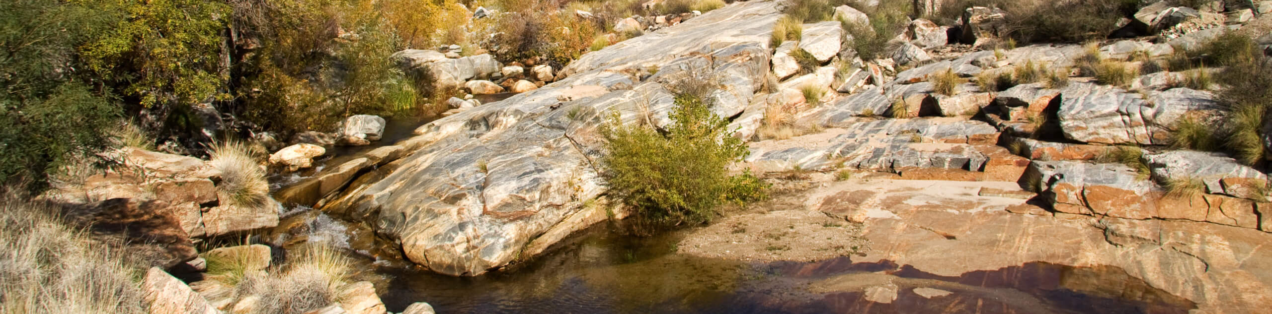
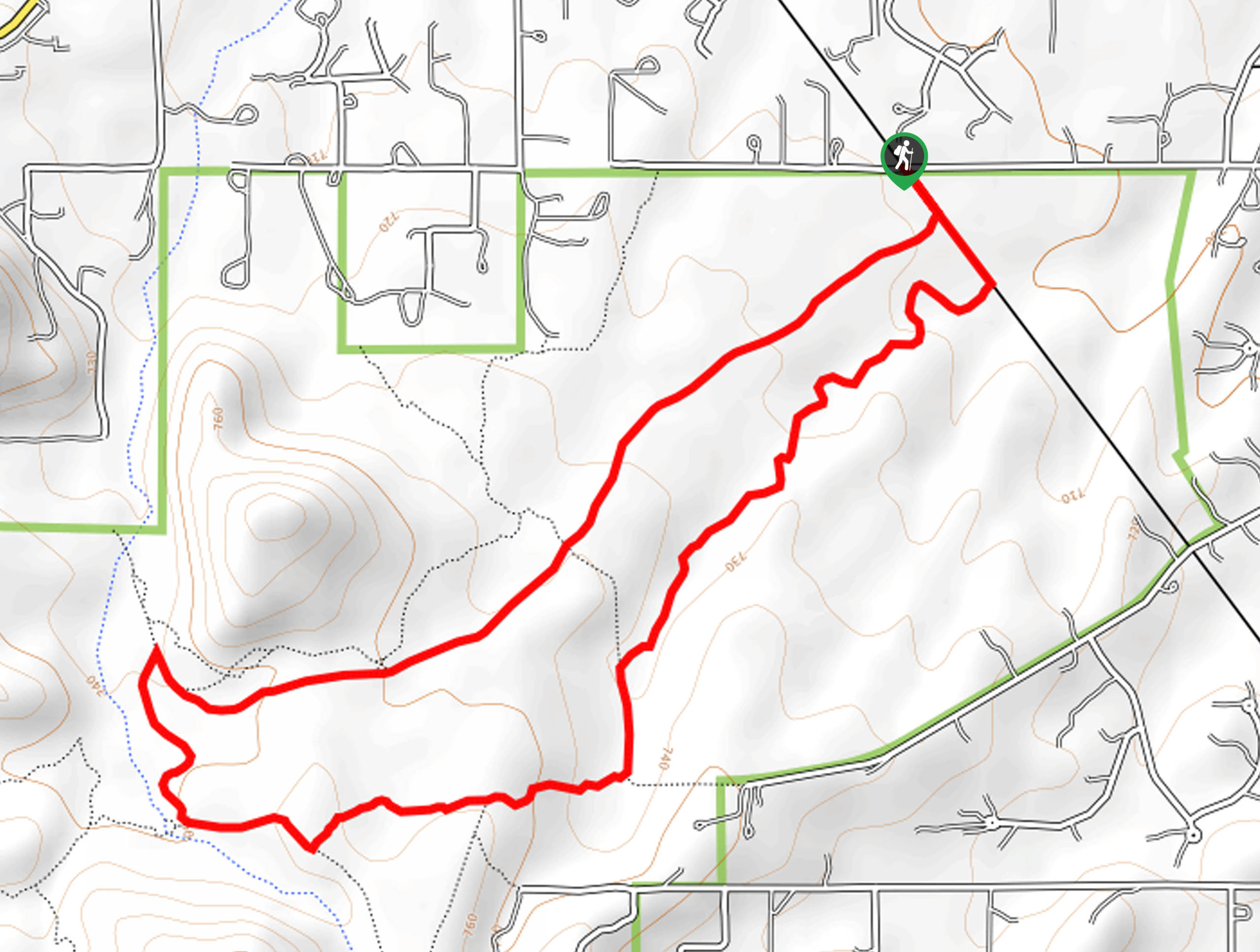
- Tanque Verde Falls - Tanque Verde Falls Trail is a popular hike near Tucson that climbs up the Tanque Verde Wash to an awesome 80-foot waterfall. Along the way, you can take advantage of other small waterfalls and swimming holes to cool off. Most of this trail is quite easy and kid-friendly.
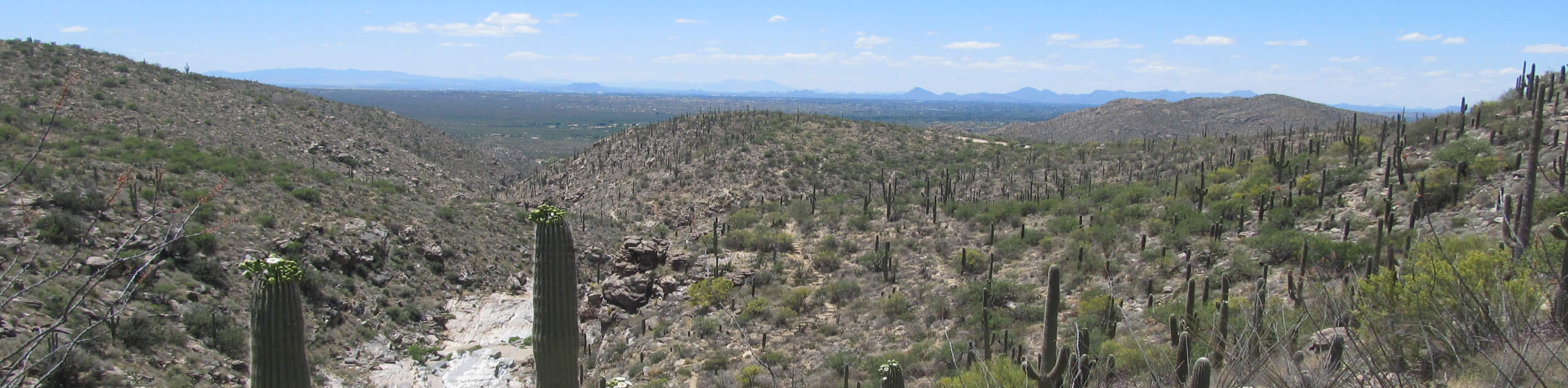
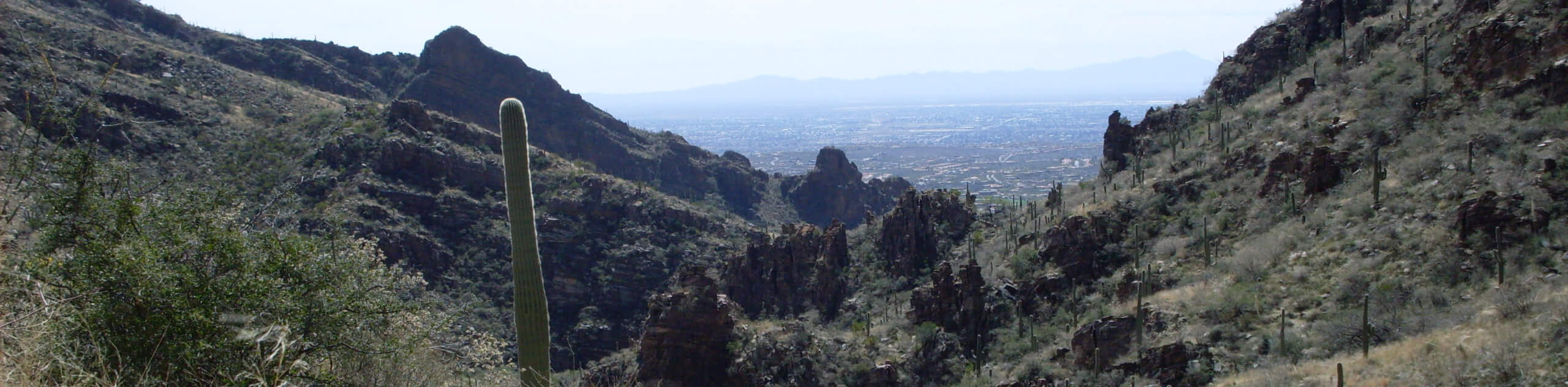
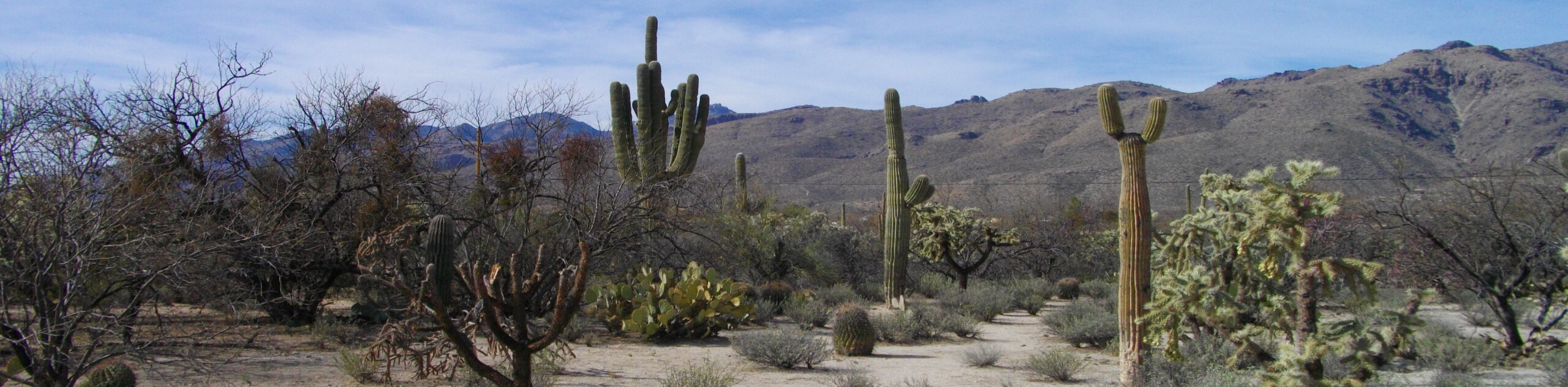
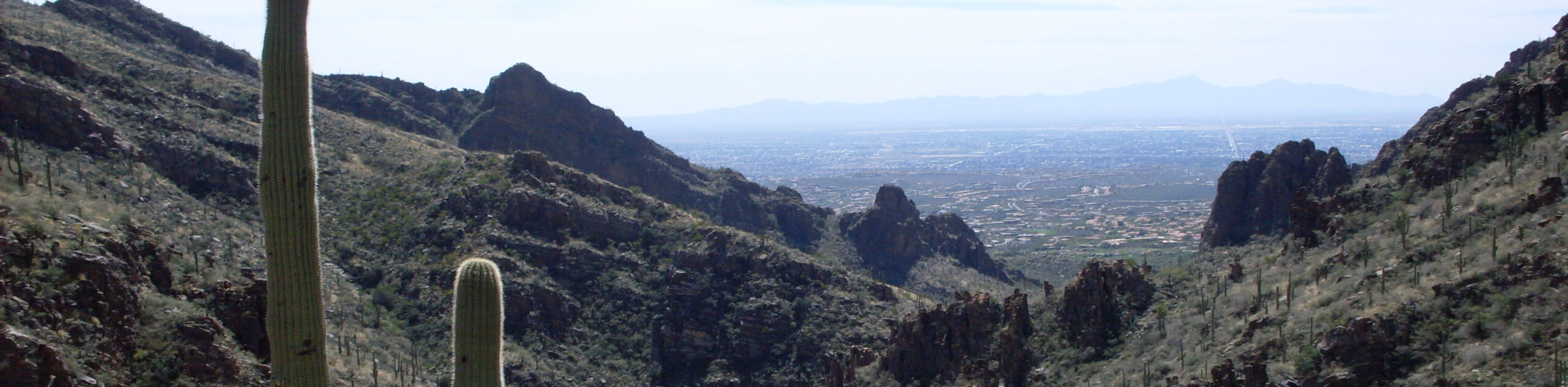
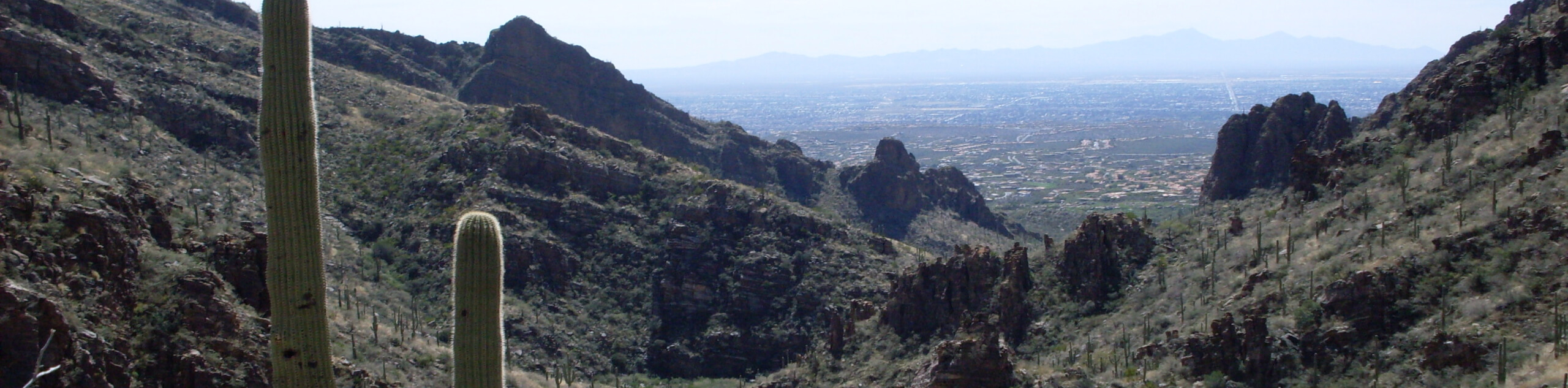
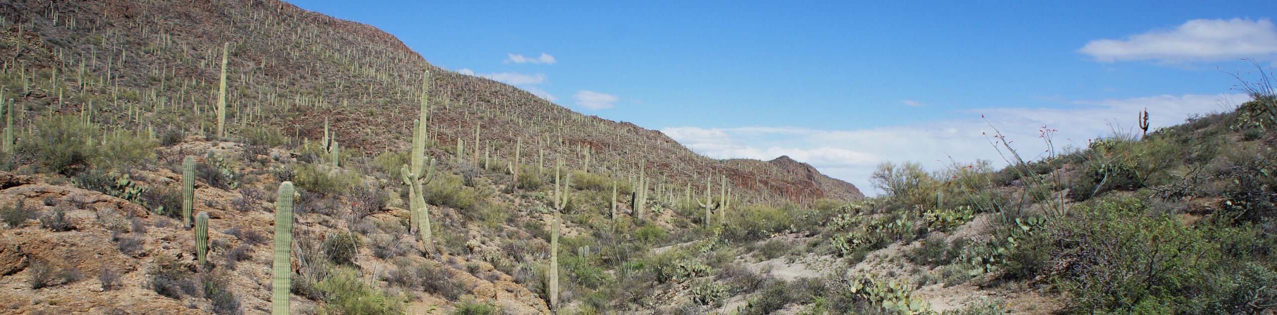
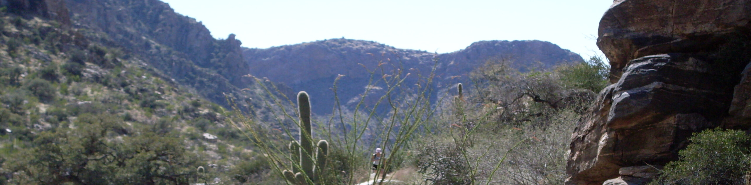
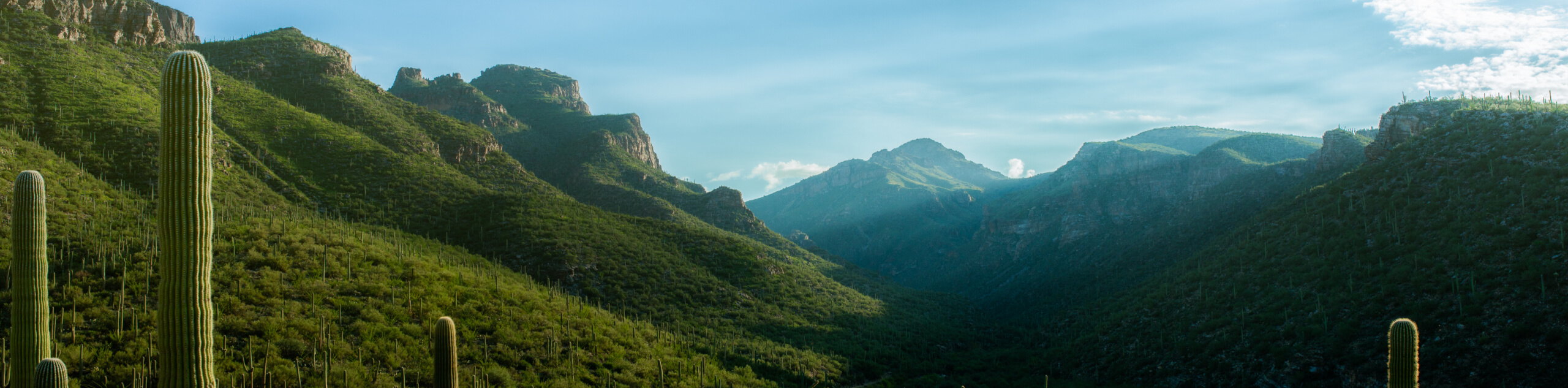
- Bear Canyon to Seven Falls Trail - Bear Canyon to Seven Falls Trail is a real gem. This trail is located at the base of Thimble Peak in the Pusch Ridge Wilderness on the northeast edge of Tucson. It’s excellent for its ease of access from the city and for its diverse, beautiful terrain. You’ll hike next to towering saguaros and prickly pears, witness the area’s astounding bird population fly by, and end your hike at the Broadmoor Seven Falls.
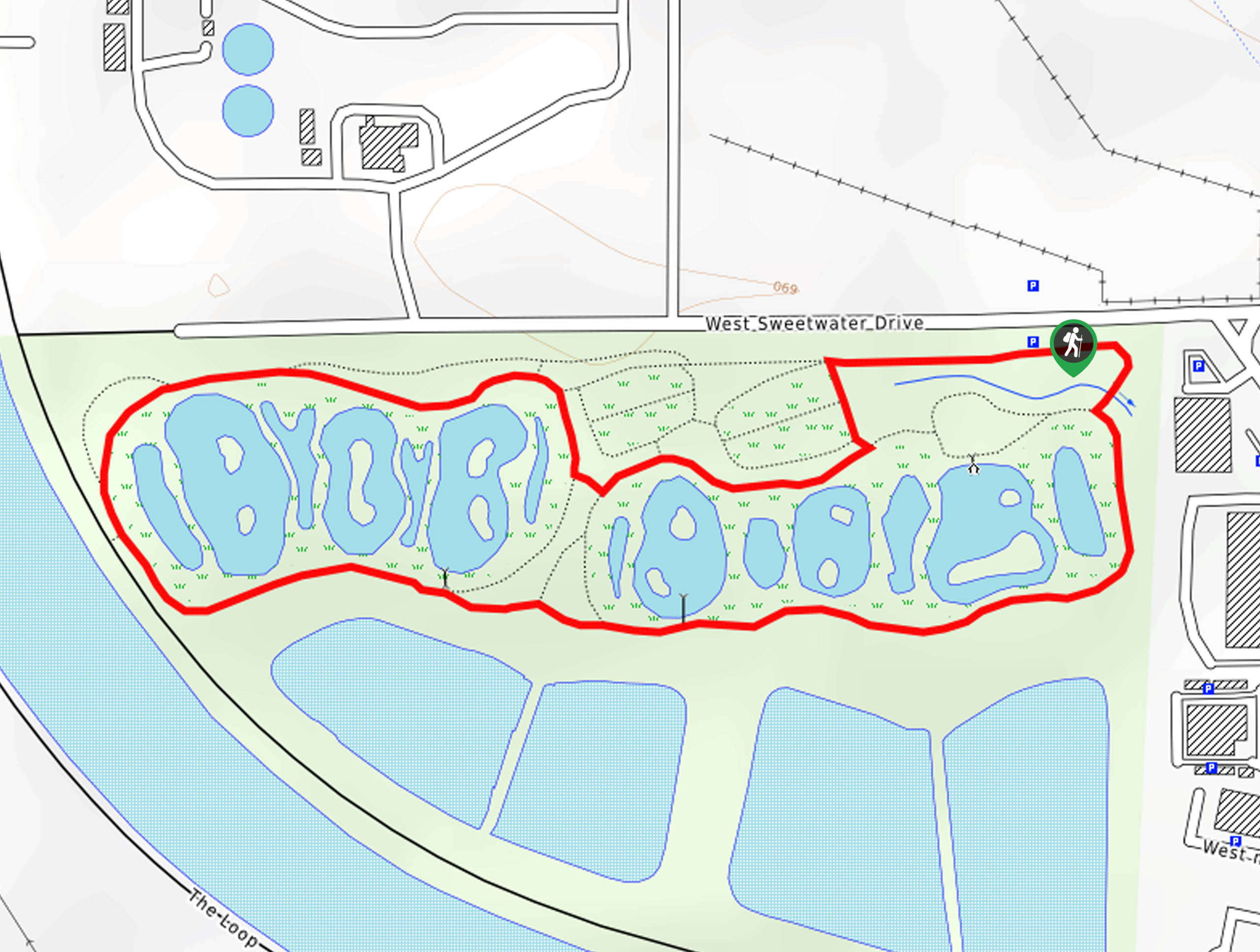
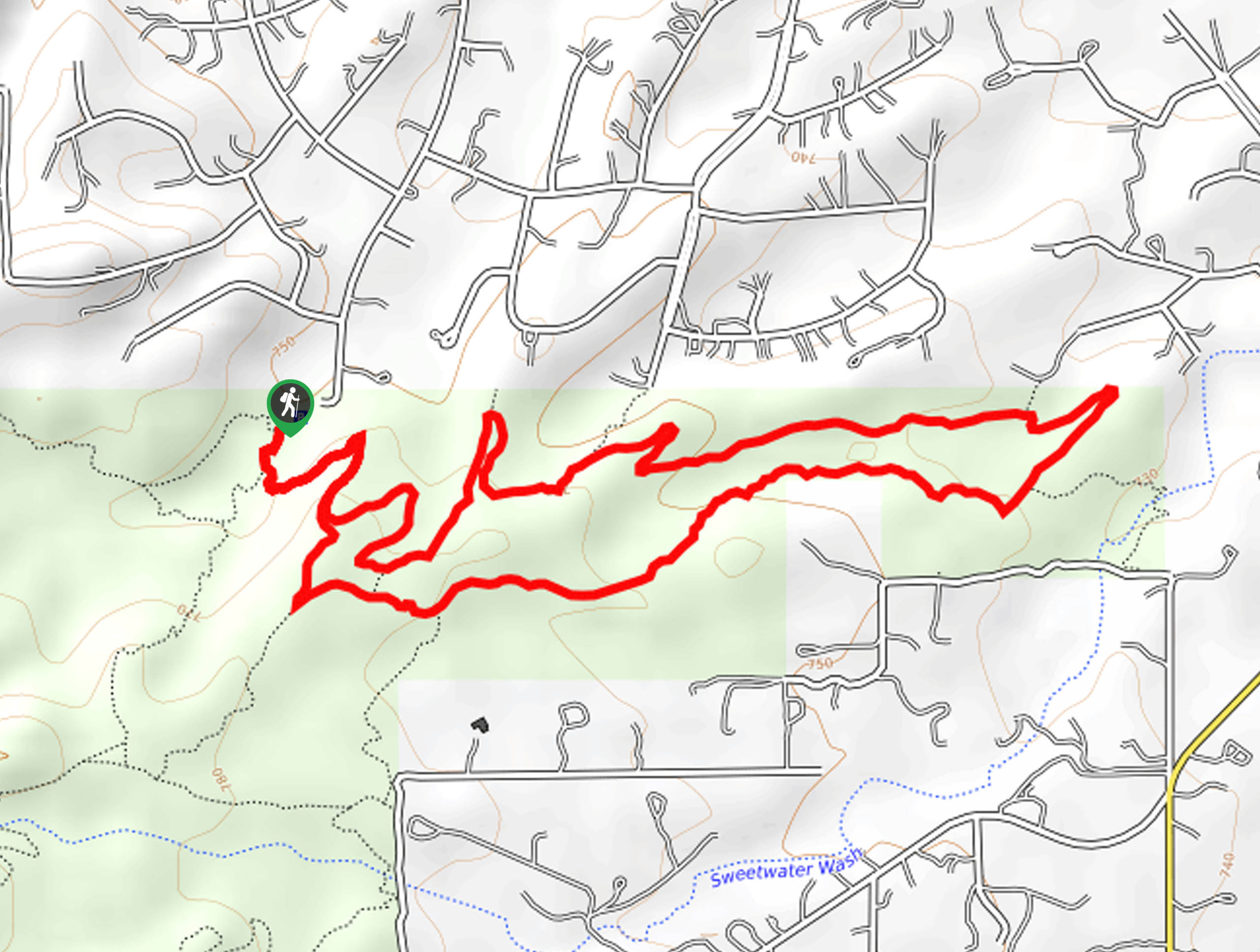
- Sweetwater Wetlands Loop - The Sweetwater Wetlands Loop leads you a short distance around one of the most important functional, environmental, and educational sites of the City of Tucson’s reclaimed water system. This loop covers a quick 1-mile section. Around 1000ft of the wetland pathways are paved and ADA-approved for wheelchair users.
- Sabino Tram Road - The Sabino Tram Road is one of the most popular hikes in the Tucson area. It’s conveniently accessible from the northeastern edge of the city near the Pusch Ridge Wilderness. The scenery is excellent, the trail is fairly easy, and there’s an option to take the tram along the road instead of hiking if you want a learning experience. The tram ride is narrated and very educational.
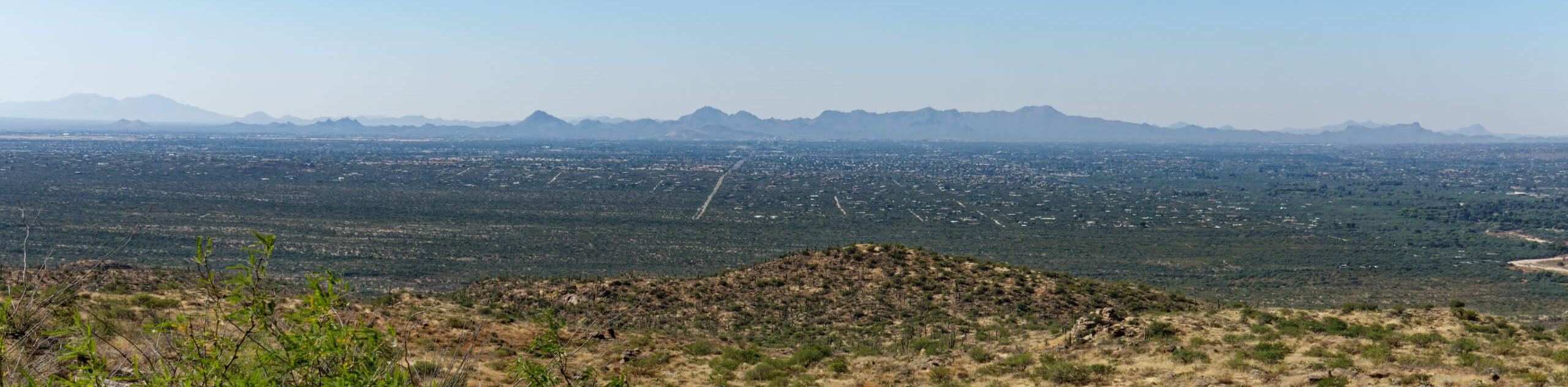
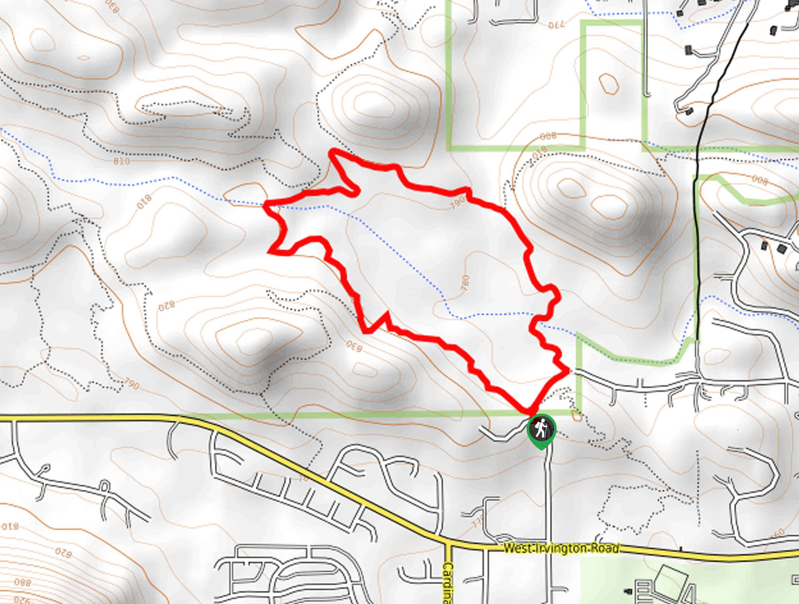
- Sentinel Peak - The Sentinel Peak hike near Tucson is a quick win, offering panoramic views of Tucson and the surrounding mountains on an easy 1.7mi loop. This hike is ideal if you want a quick leg-stretcher, are taking the kids out, or if you want some time outside but can’t go far or be gone for too long. The elevation gain is mostly gentle and the route is paved and easy to follow.
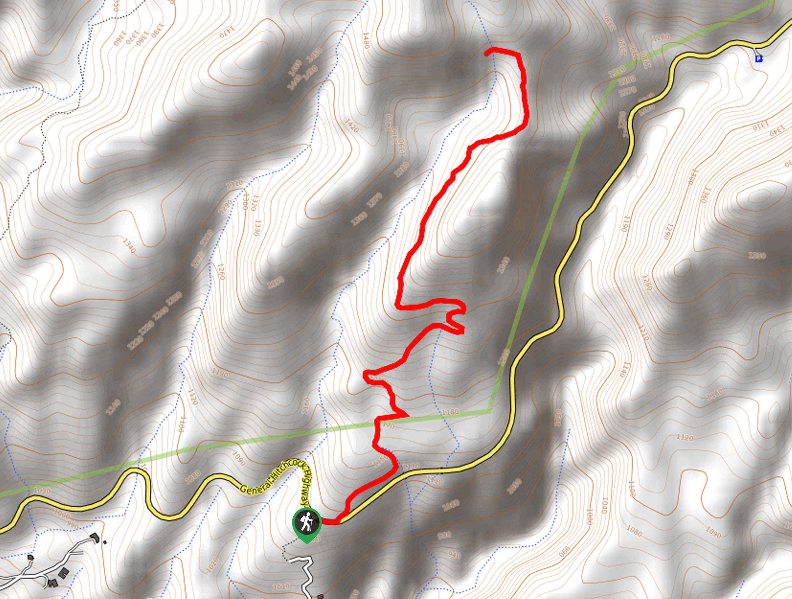
- Blackett’s Ridge Trail from Bear Canyon - Blackett's Ridge Trail from Bear Canyon is one of the most beautiful hikes in the Tucson area. The scenery is excellent, the trail is adventurous and challenging, and it doesn’t usually get too busy on this route. This route travels along Blackett’s Ridge to the top of Saddleback, where tall saguaros and big prickly pears line your path.
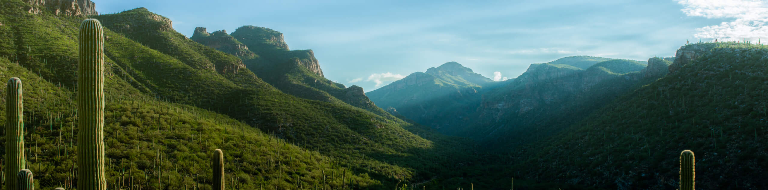
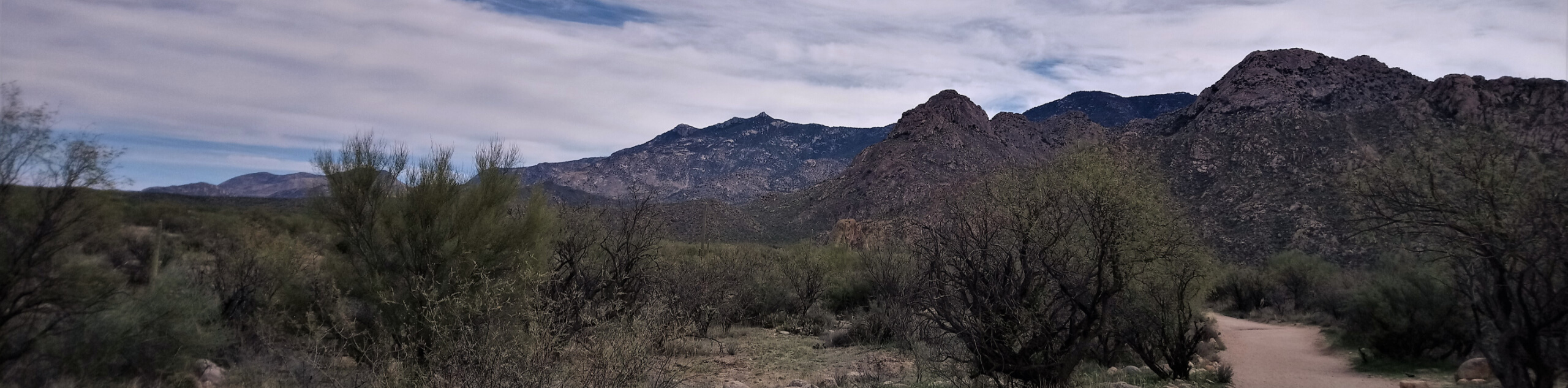
- Hutch’s Pool - Hutch's Pool is a popular spot tucked away in the Santa Catalina Mountains near Tucson. The route there travels through the Sabino Canyon in the Sabino Canyon Recreation Area, known for its rugged desert beauty and plentiful wildlife. This is a rewarding trip that ends at a great swimming hole.
- Bridal Wreath Falls Trail - Bridal Wreath Falls Trail is often described as worth all the effort required by users, because it does require some effort. Some will find this route challenging, others will feel comfortable with its steady incline, but no matter where you fall on that spectrum, you’ll likely want to revisit this beautiful trail in the future.
- Bobcat Ridge and Starr Pass - Bobcat Ridge and Starr Pass are two impressive routes combined into one spectacular hike in this approach. In a trail-dense area close to Tucson, this hike gets you out of the city without requiring you to go very far. The views are excellent, mostly featuring the saguaro-dotted rocky hills nearby, the mountains in the distance, and the city reaching out beside you.
- Chiva Falls Trail - Chiva Falls Trail is a mixed-use route just outside of Tucson that travels through the desert to Chiva Falls, a waterfall tucked into the rock of a canyon. This route is commonly used by hikers, mountain bikers, and off-roaders. After a good rain, the falls are definitely worth the hot hike in.
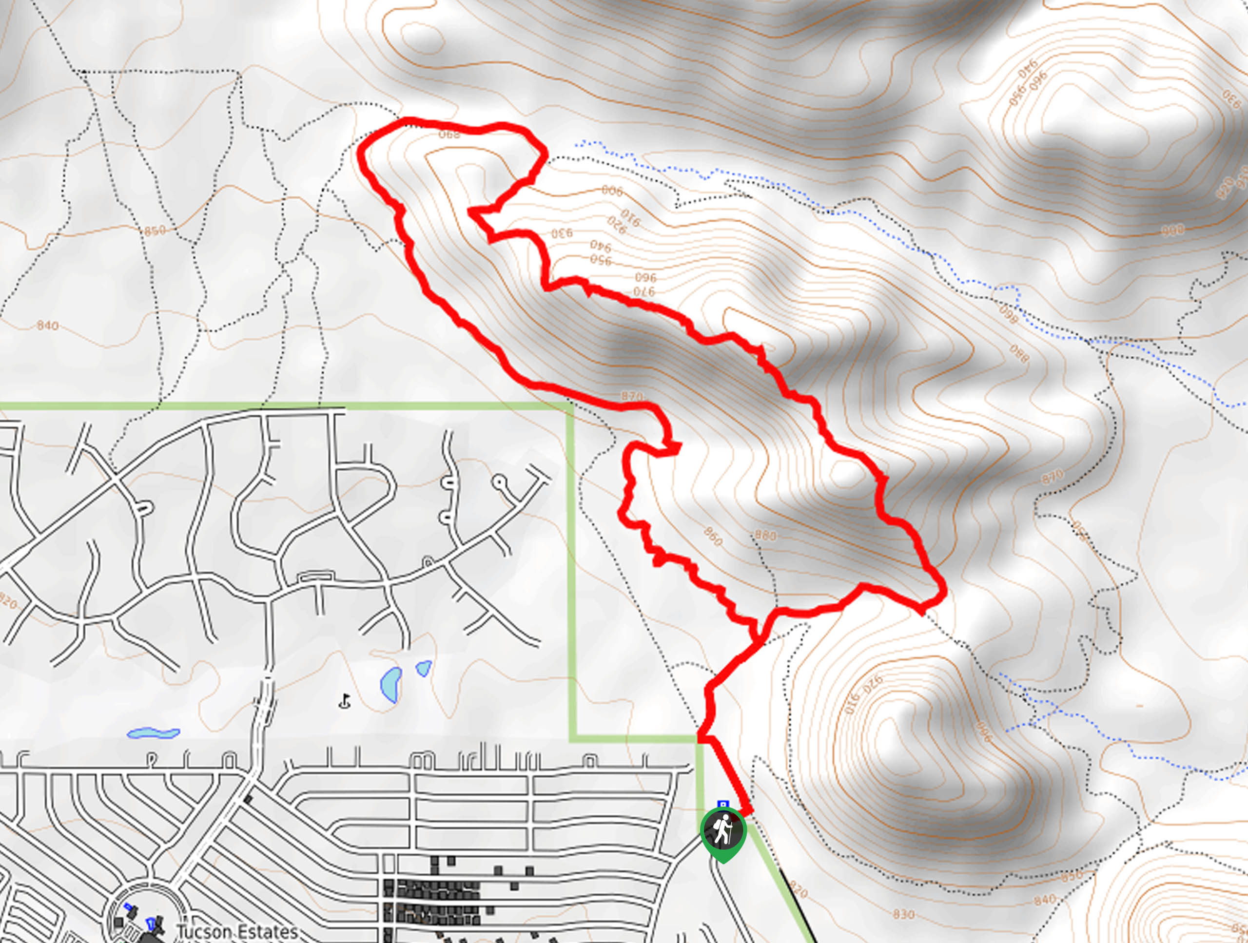
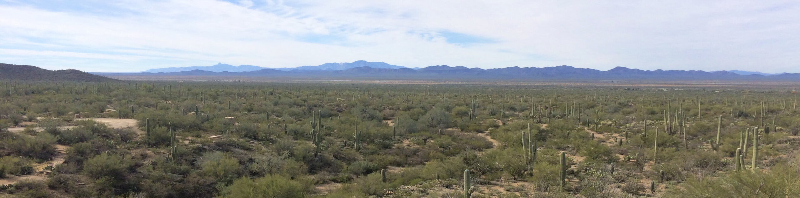
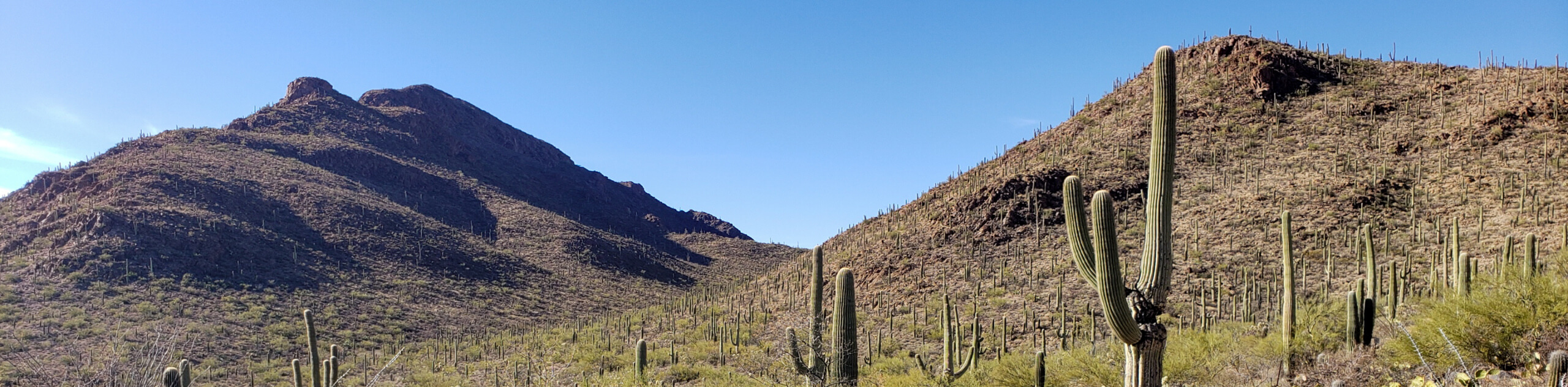
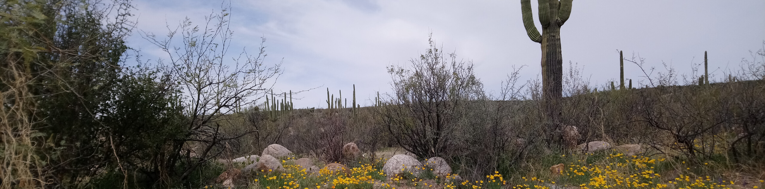
- Valley View Overlook Trail - The Valley View Overlook Trail is a quick and easy route in Saguaro National Park West that is lined with gorgeous tall cactus and rolling desert hills. This route is great for families with young kids or beginner hikers who want to get out and enjoy the outdoors on a simple, forgiving trail.
- Douglas Spring, Bridal Wreath Falls, and Garwood Loop - The Douglas Spring, Bridal Wreath Falls, and Garwood Loop is one of our favorite loops in Saguaro National Park East. The main attraction on this loop is Bridal Wreath Falls. Some will find this route challenging, others will feel comfortable with its sections of steady incline, but no matter where you fall on that spectrum, you’ll likely want to revisit this beautiful trail again in the future.
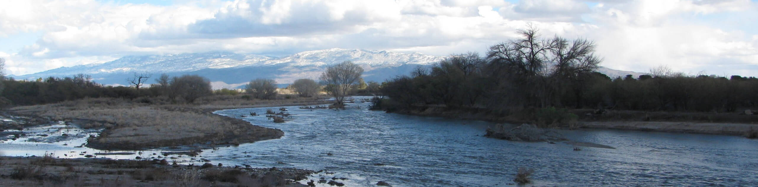
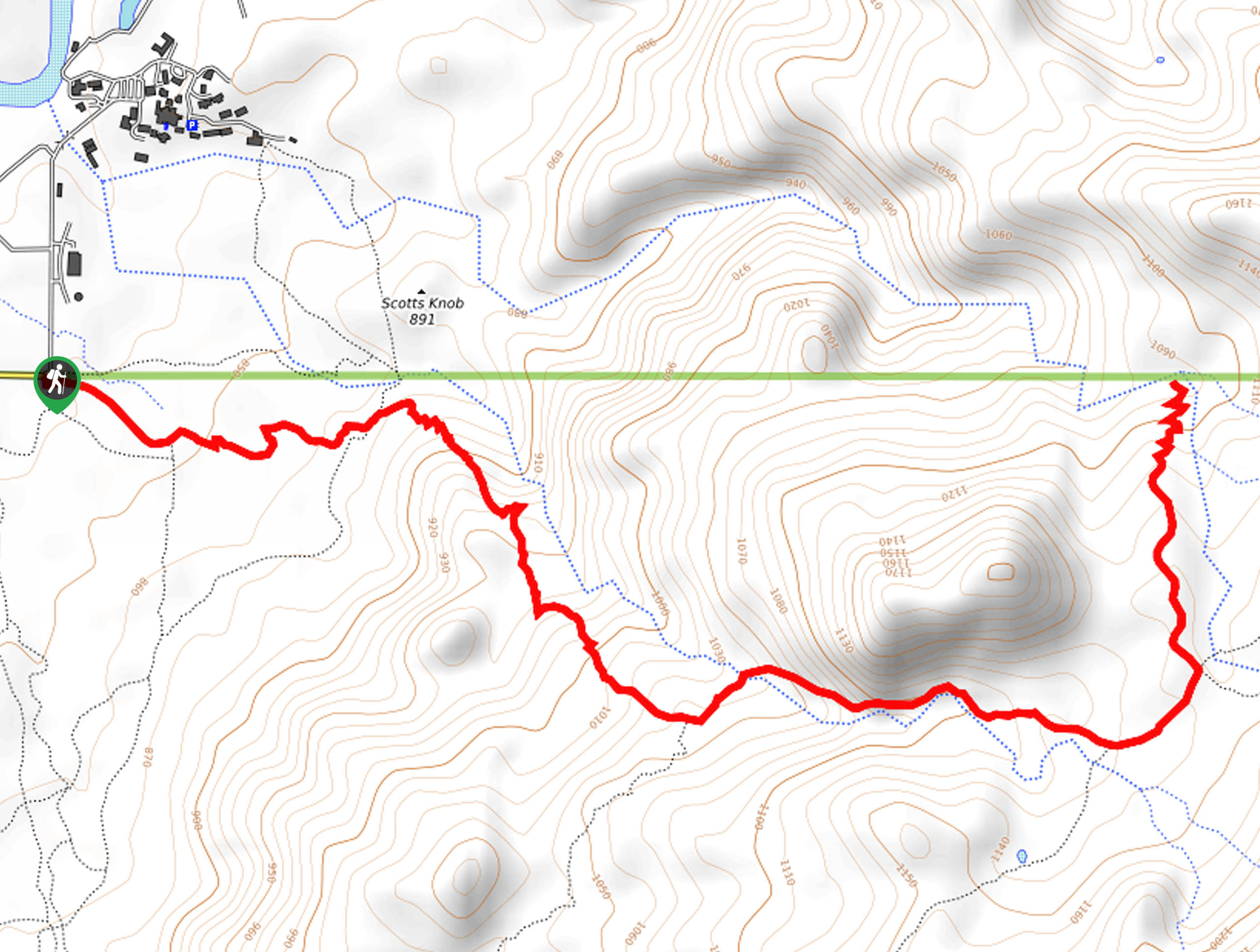
- Catalina Canyon Loop - The Catalina Canyon Loop is a wonderful hike in Catalina State Park, which sits at the north end of the Pusch Ridge Wilderness north of Tucson. This hike is dog-friendly and it explores the area around the Sutherland Wash. There are lots of chances to cool your feet off on this family-friendly adventure.
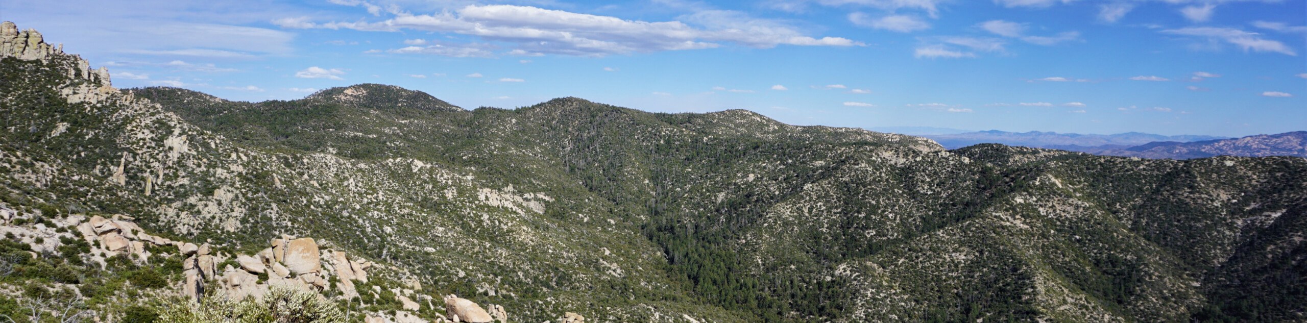
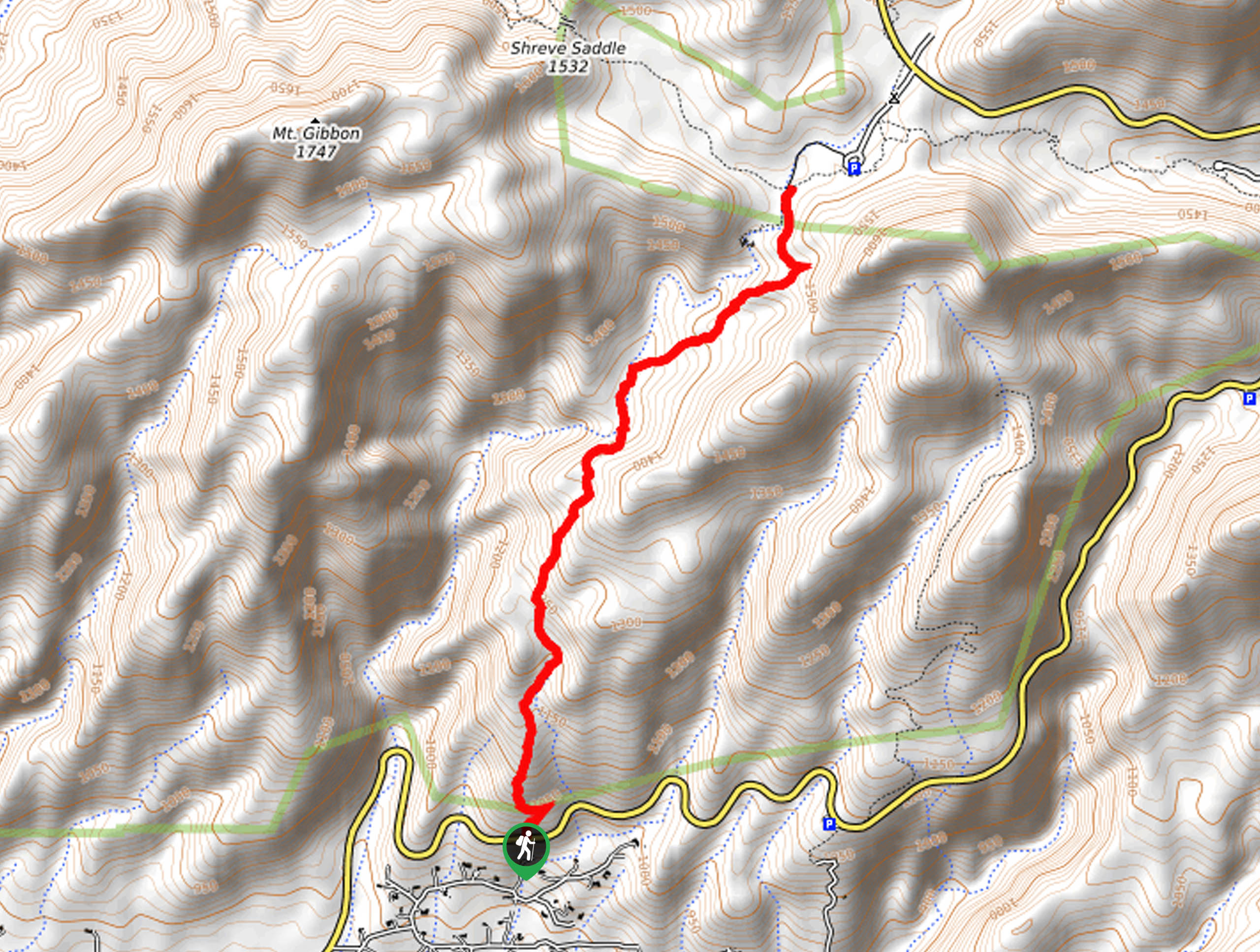
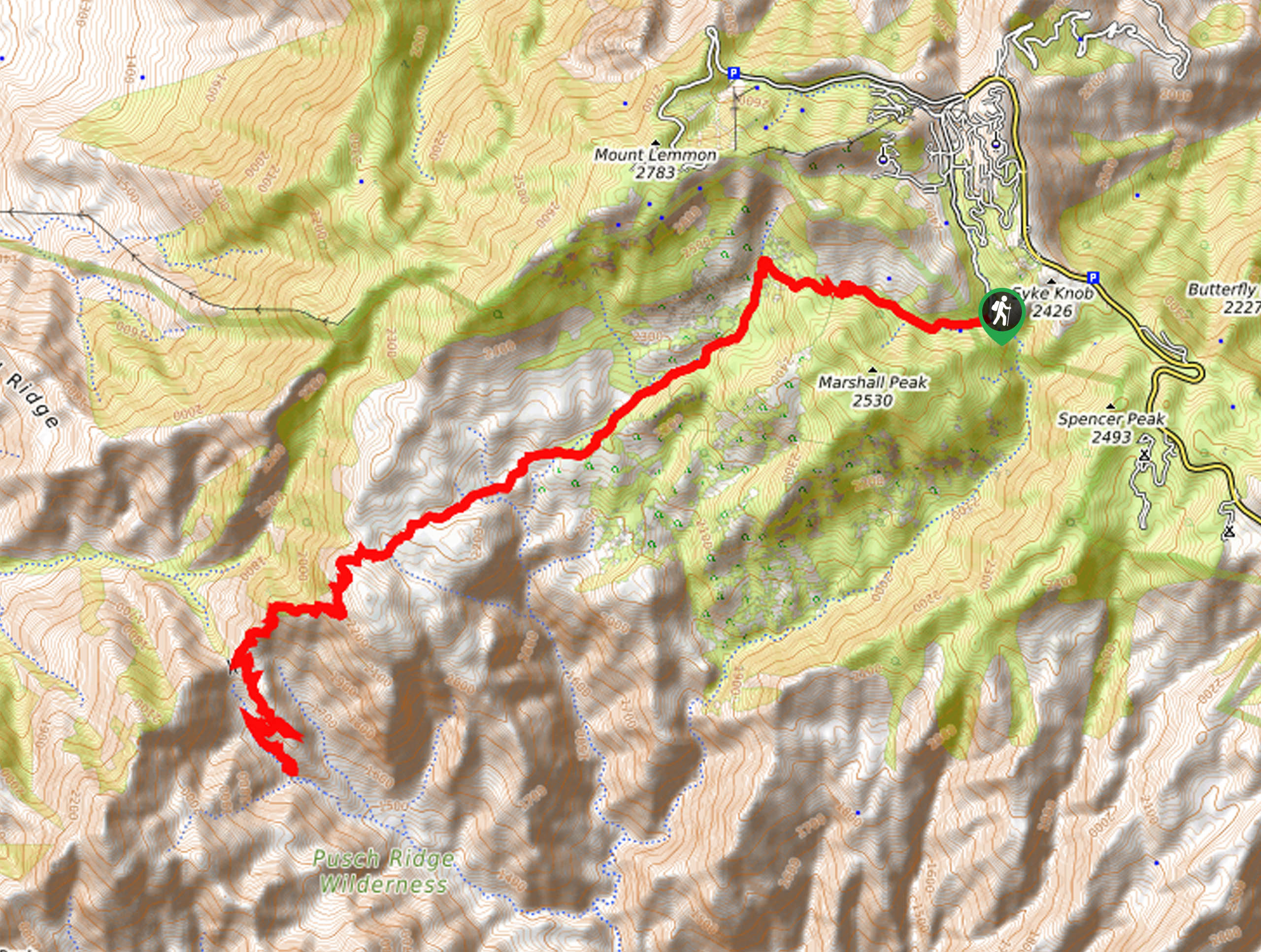
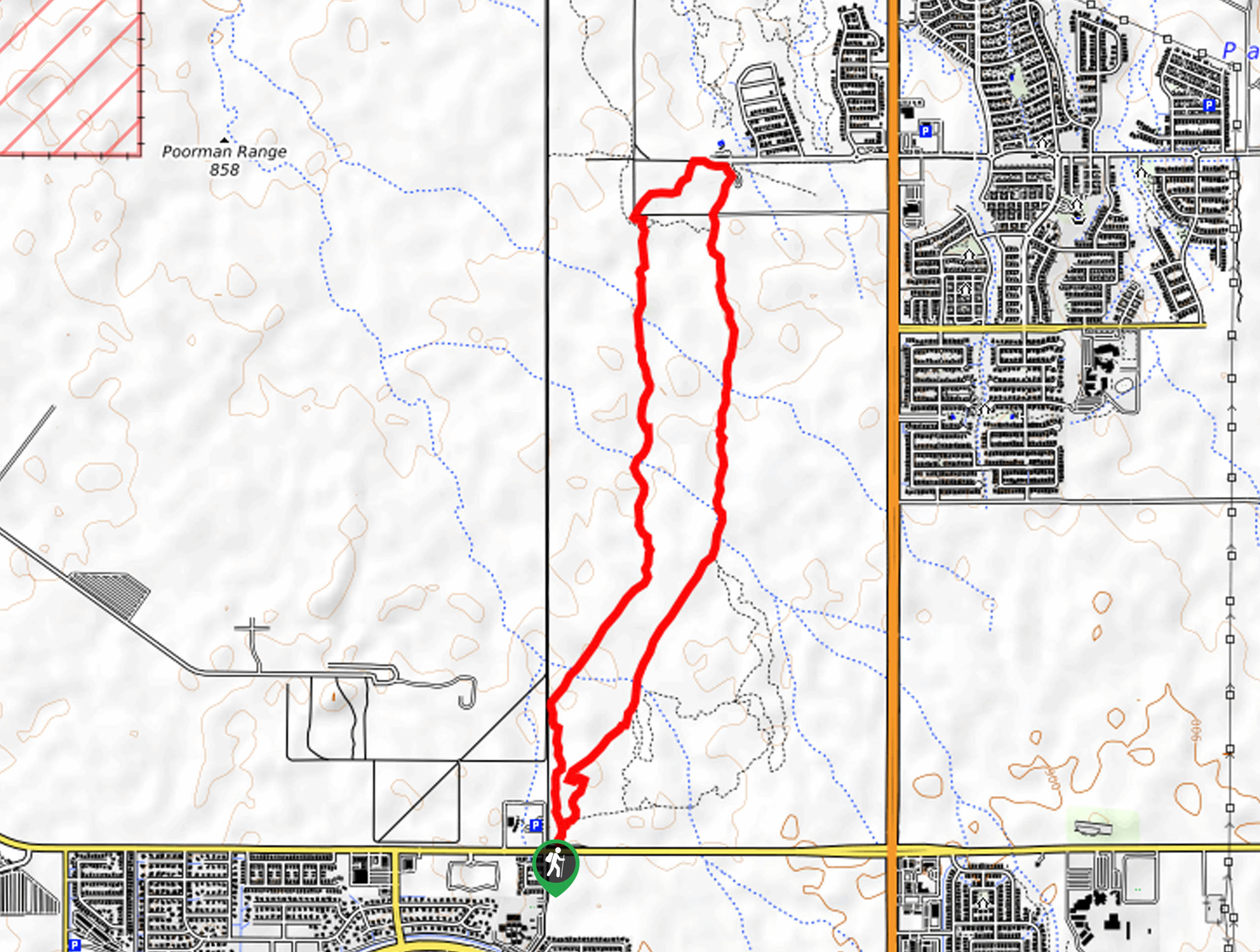
- Mount Kimball via Finger Rock Trail - Mount Kimball is no small objective, but it is one of the most accessible major summits in the Catalinas, and it’s easy to get to from Tucson. This is a hike that’ll leave you feeling very accomplished when you reach the top, especially since a fair share of the hikers who start this route won’t finish. That’s part of the appeal of this hike, though–you can turn around part way and still be rewarded with great views.
Scroll down to see the full list of hiking trails in Tucson.
When is the Best Time to Hike in Tucson
You’ll see a common theme when it comes to timing your outdoor adventures in Tucson: it’s hot. With temperatures averaging well above 30°C (86°F) from May through October, you’ll generally want to stay inside in the comfort of your air conditioning until mid-October hits.
While hiking in hotter temperatures might not sound so bad to some, we always caution against summer hiking in Tucson due to the prevalence of heatstroke on the trails. It’s exceptionally dry in the desert, so dehydration is a real risk, and you don’t want to be 10km into a trail when you realize you’ve run out of water.
Peak hiking season runs from mid-October through the end of April, with winter being a perfectly fine time to tackle even the sweatiest trails as average temperatures hover at a much more comfortable 20°C (68°F). Some of the higher elevation trails in the Tucson area see snow and ice between December and February, but this generally won’t impede your adventures on all but the highest hiking trails.
As a rule of thumb, most hikes should be comfortable to complete between October and May, but you’ll always want to pack more water than you think you’ll need, sun protection, and layers.
Other Outdoor Activities in Tucson
While the trails are excellent, hiking is certainly not the only way to explore Tucson! This region boasts plenty of space for other outdoor activities.
Adventurers on two wheels can take advantage of the many mountain bike and dirt bike paths. Those with four-legged friends can explore horse and dog-friendly trails. Campers can set up their tents in sites near the city, with some of the closest being in Saguaro National Park. Birders and plant lovers will be spoiled with the fascinating variety of species that call the desert home.
How to Plan a Trip to Tucson
Planning a trip to Tucson is pleasantly less high-pressure than planning trips to some of Arizona’s other outdoor destinations. You won’t find long lines of cars vying for trailhead parking here, nor will you be strapped for places to stay.
Tucson has plenty of accommodation options, from hotels in each corner of the city to short and long-term vacation rentals. If you’re wanting to prioritize hiking, we suggest staying in the eastern and northeastern parts of the city to have easy access to Saguaro National Park East, Catalina State Park, and the Pusch Ridge Wilderness.
Renting a car will make getting around the city as easy as possible, especially since Tucson lacks a well-developed transit system. Trailhead parking is normally easy to find, save for the busiest weekends.
The main parks and recreation areas near Tucson charge modest day-use fees. Budget $5-10 per day per park. We suggest organizing your hiking days by park to make the most of your entrance fees.
Arizona Adventure Tours
Some of us love trip planning and some of us just… don’t. Take the stress out of your trip with an expert-planned adventure tour, letting you let go and focus on the fun stuff. Check out some incredible adventure tours in Arizona.
Frequently Asked Questions About Tucson
What is Tucson known for?
Tucson is a designated UNESCO City of Gastronomy. It’s also known for its nightlife thanks to the presence of the University of Arizona. It may be a college and foodie town at heart, but it’s also recognized as a year-round outdoor adventure destination because of its statement saguaros and nearby mountain ranges.
Is Tucson hotter than Phoenix?
Tucson is cooler than Phoenix, with an average temperature of 70.9°F compared to Phoenix’s 75.1°F.
Does it snow in Tucson?
Tucson averages 0 inches of snow per year. The only snow you’ll find in Tucson is on the highest mountain peaks in the middle of winter.
What do you call a person from Tucson?
The correct demonym for someone from Tucson is a Tucsonan, but you’ll hear Tucsonian as well.
Explore other great hiking regions in the United States
Or check out our full range of tour destinations in the United States.
Read MoreThe best hikes in Tucson
01. Tumamoc Hill Hike
Difficulty
Tumamoc Hill is one of the most popular hikes in Tucson thanks to its great… Read More
02. Tanque Verde Falls Trail
Difficulty
Tanque Verde Falls Trail is a popular hike near Tucson that climbs up the Tanque… Read More
03. Bear Canyon to Seven Falls Trail
Difficulty
Bear Canyon to Seven Falls Trail is a real gem. This 8.3mi moderately… Read More
04. Sweetwater Wetlands Loop
Difficulty
The Sweetwater Wetlands Loop leads you a short distance around one of the most important… Read More
05. Sabino Tram Road
Difficulty
The Sabino Tram Road through the Sabino Canyon is a stellar hike. This 7.4mi Read More
06. Sentinel Peak Hike
Difficulty
The Sentinel Peak hike near Tucson is a quick win, offering panoramic views of Tucson… Read More
07. Blackett's Ridge Trail from Bear Canyon
Difficulty
Blackett's Ridge Trail from Bear Canyon is an awesome adventure. This 6.5mi difficult… Read More
08. Blackett's Ridge Trail
Difficulty
Blackett's Ridge Trail is an excellent adventure near Tucson. This 5.7mi difficult trail… Read More
09. Hutch's Pool Hike
Difficulty
Hutch's Pool is a popular spot tucked away in the Santa Catalina Mountains near Tucson.… Read More

10. Hutch's Pool via West Fork Sabino Trail
Difficulty
Hutch's Pool is a popular swimming and camping spot tucked away in the Santa Catalina… Read More
Yes, there are more than 10
Tucson is so beautiful that we can not give you only 10 hikes. So here is a list of bonus hikes in Tucson that you should take a look at as well
11. Seven Falls via Bear Canyon Road
Difficulty
Seven Falls is a beautiful waterfall tucked into Bear Canyon in the Sabino Canyon Recreation… Read More
12. Bridal Wreath Falls Trail
Difficulty
Bridal Wreath Falls Trail is a moderately difficult 5.7mi hike in the north… Read More
13. Bobcat Ridge and Starr Pass Hike
Difficulty
Bobcat Ridge and Starr Pass is a great scenic hike near Tucson. This route is… Read More
14. Chiva Falls Trail
Difficulty
Chiva Falls Trail is an 8.6mi hard hike near Tucson that is used… Read More
15. Valley View Overlook Trail
Difficulty
The Valley View Overlook Trail is a quick and easy route in Saguaro National Park… Read More
16. Douglas Spring, Bridal Wreath Falls, and Garwood Loop
Difficulty
The Douglas Spring, Bridal Wreath Falls, and Garwood Loop is a moderately difficult 7.0mi Read More
17. Catalina Canyon Loop
Difficulty
The Catalina Canyon Loop is an enjoyable, easy 2.3mi hike in Catalina State… Read More
18. Mount Kimball via Finger Rock Trail
Difficulty
Mount Kimball is one of the most accessible major summits in the Santa Catalina Mountains… Read More
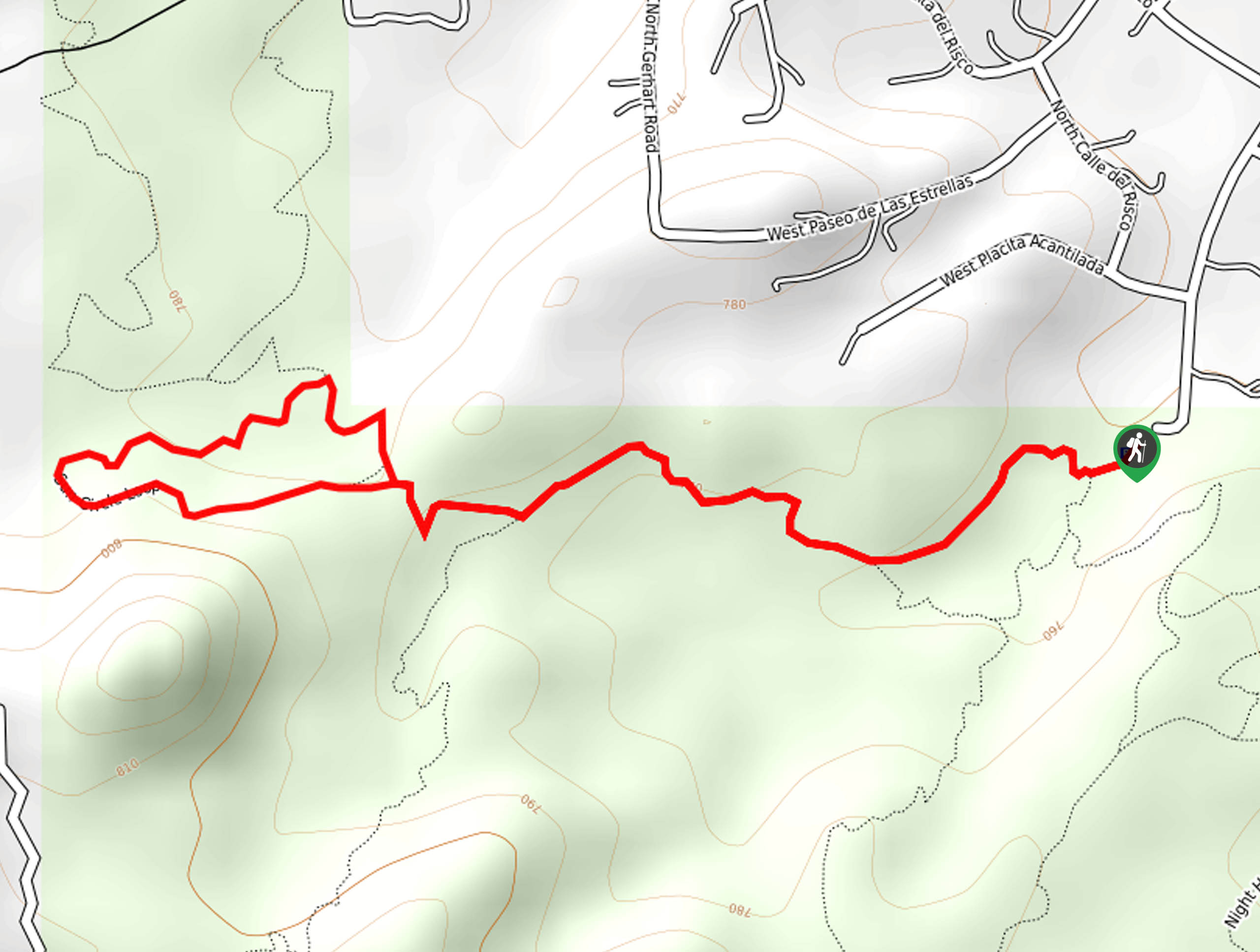
19. Brown Mountain Trail
Difficulty
The hike along the Brown Mountain Trail from the Brown Mountain Picnic Area is an… Read More

20. Pontatoc Ridge Trail
Difficulty
Pontatoc Ridge Trail is a 4.1mi heavily trafficked hard trail in the Pusch… Read More
21. Wasson Peak via King Canyon Trail
Difficulty
Wasson Peak via King Canyon Trail is a 6.7mi heavily trafficked moderate trail… Read More
22. Linda Vista Loop Trail
Difficulty
The Linda Vista Loop Trail is a 2.2mi heavily trafficked easy trail in… Read More

23. Phoneline Trail
Difficulty
The Phoneline Trail leads you through the Sabino Canyon, known for its natural beauty and… Read More
24. Sabino Lake, Creek Trail, and Rattlesnake Loop
Difficulty
The Sabino Lake, Creek Trail, and Rattlesnake Loop is a 3.8mi hike through… Read More
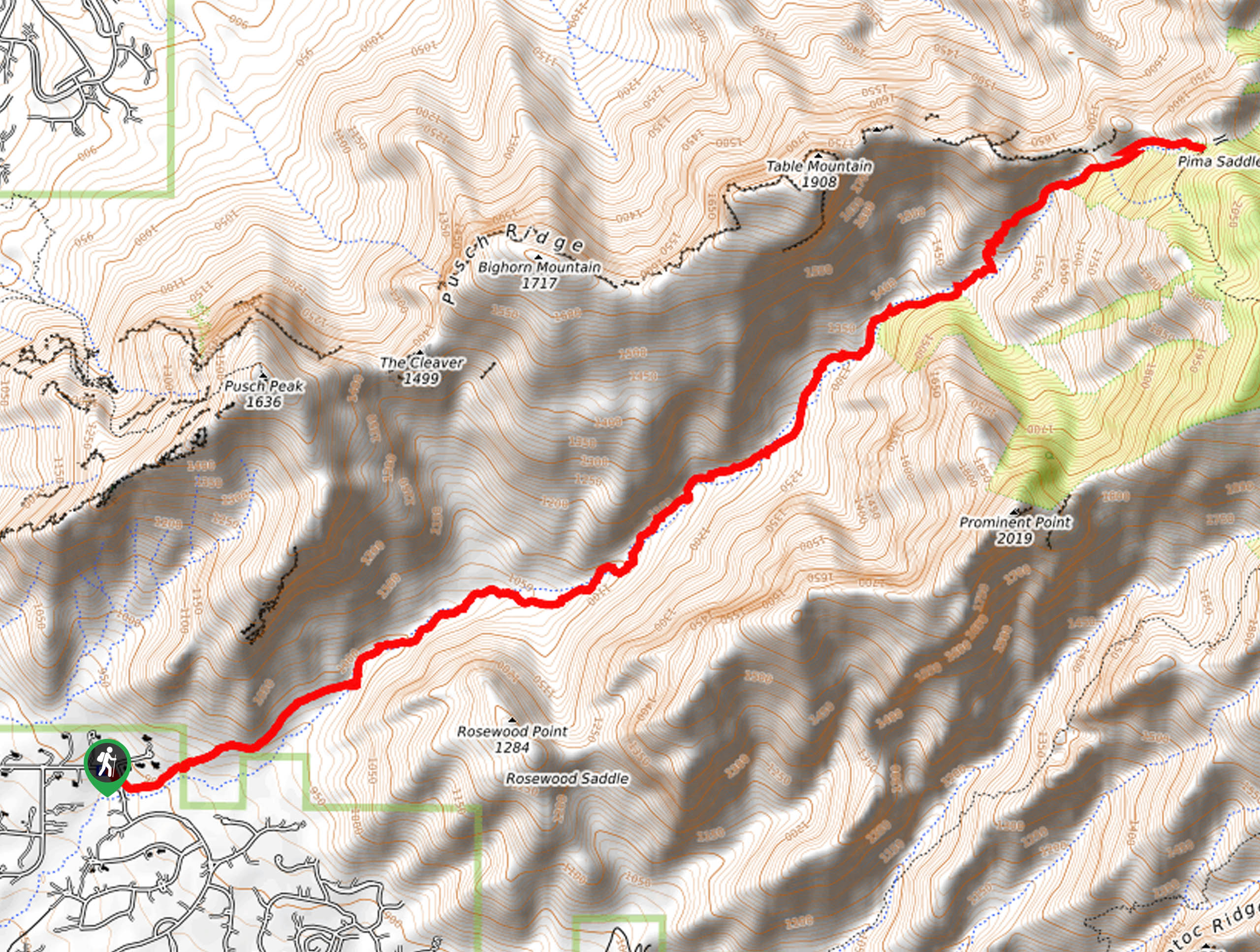
25. Pima Canyon Trail
Difficulty
The Pima Canyon Trail is a 10.1mi hike in the Coronado National Forest… Read More
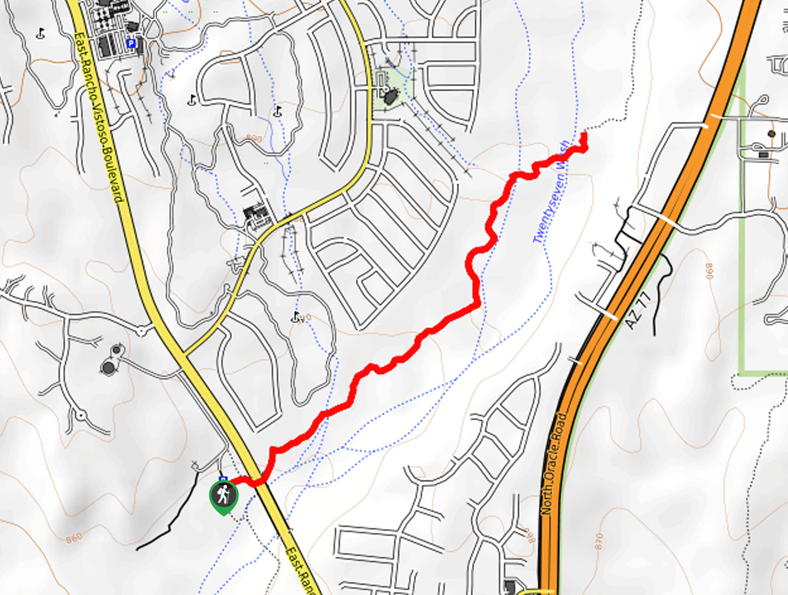
26. Big Wash Trail
Difficulty
Big Wash Trail is a 2.4mi easy trail in Tucson that can be… Read More
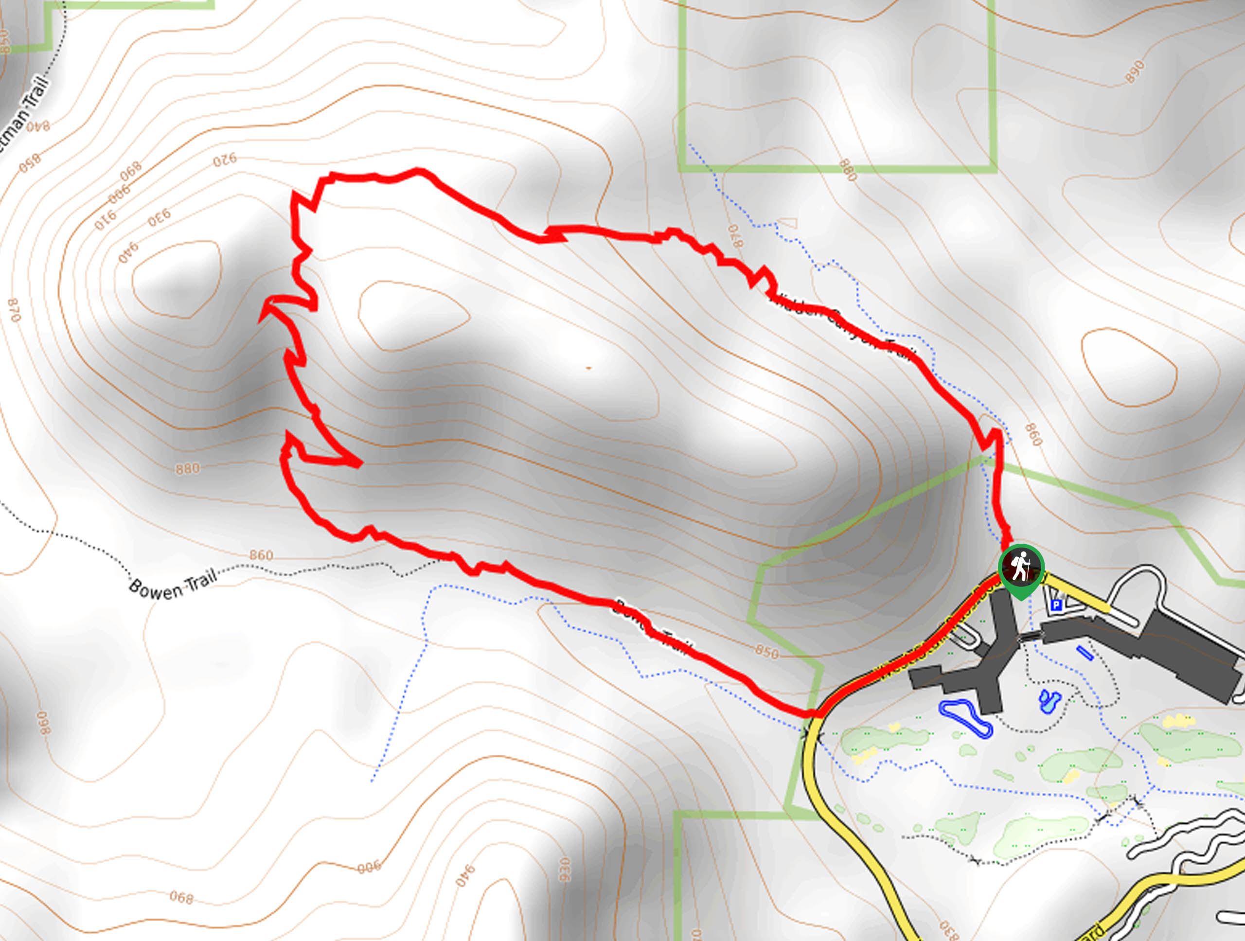
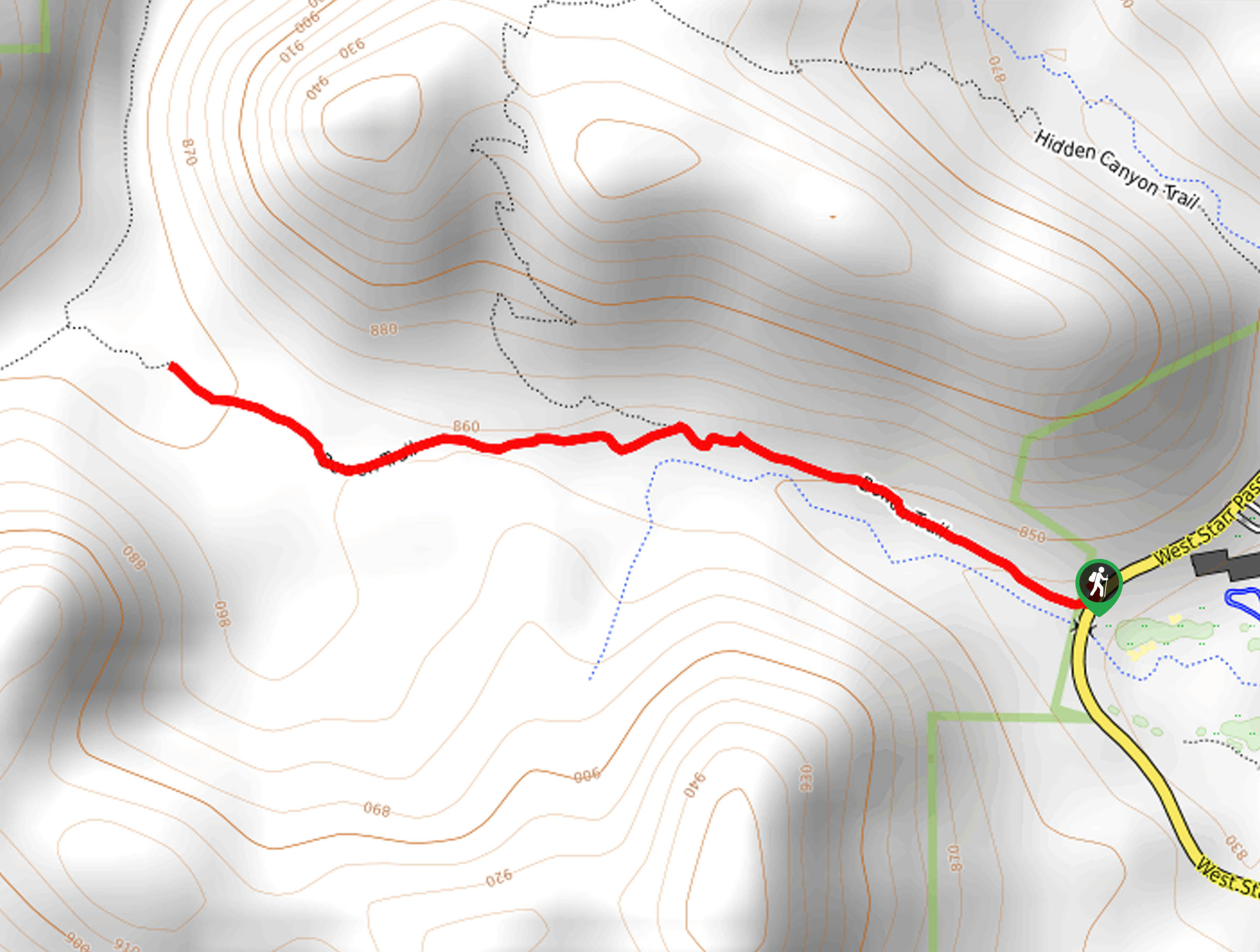
27. Hidden Canyon Bowen Loop
Difficulty
The Hidden Canyon Bowen Loop is a 2.0mi trail in Tucson. This route… Read More
28. Honeybee Canyon North Trail
Difficulty
The Honeybee Canyon North Trail is a great little hike that we recommend for a… Read More
29. Honeybee Canyon South Trail
Difficulty
The Honeybee Canyon South Trail is a relaxed loop trail in Tucson that’s known for… Read More
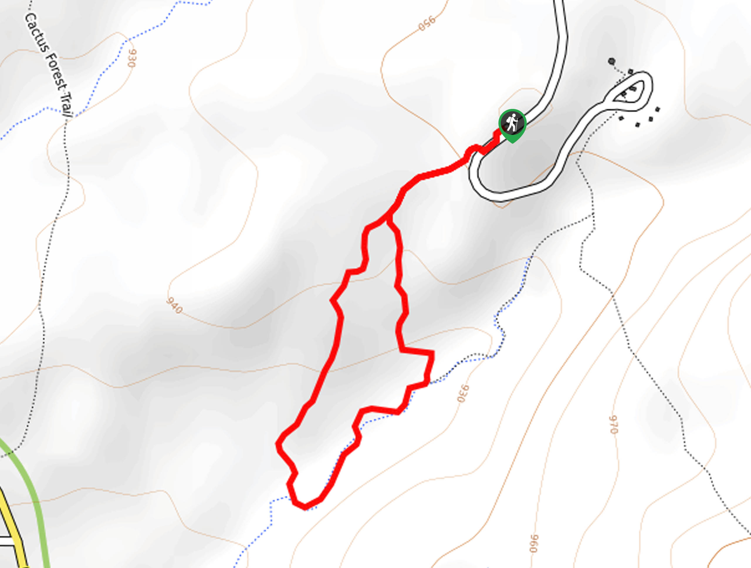
30. Cactus Forest Trail
Difficulty
If you’re on the hunt for quintessential Sonoran Desert scenery, the Cactus Forest Trail is… Read More
31. Finger Rock Short Route
Difficulty
Finger Rock is a well-known rock formation in the Pusch Ridge Wilderness near Tucson. The… Read More
32. Wasson Peak via Sweetwater Trail
Difficulty
Wasson Peak via Sweetwater Trail is a 9.0mi lightly-trafficked and challenging route in… Read More
33. Butterfly and Sunset Trail
Difficulty
If you’re the kind of hiker who doesn’t mind a bit of overgrowth, the Butterfly… Read More
34. Window Peak via Ventana Canyon Trail
Difficulty
The hike to Window Peak on Ventana Canyon Trail is what some users call a… Read More
35. Babat Duag Trail
Difficulty
Babat Duag Trail is a scenic hike near Tucson. This route is 5.2mi… Read More
36. Starr Pass and Rock Wren Loop
Difficulty
The Starr Pass and Rock Wren Loop leads you through the eastern side of Tucson… Read More
37. Milagrosa Canyon Trail
Difficulty
The Milagrosa Canyon Trail in the Pusch Ridge Wilderness is a 10.0mi hike… Read More
38. Bowen House via Camino de Oeste
Difficulty
The Bowen House is a long-abandoned stone home built in what now is Tucson Mountain… Read More
39. Bowen Trail
Difficulty
The Bowen House is a long-abandoned stone home built in what now is Tucson Mountain… Read More
40. Rillito River Path: North Swan to North Dodge
Difficulty
We can all appreciate an easily accessible nature walk right in our own cities, and… Read More
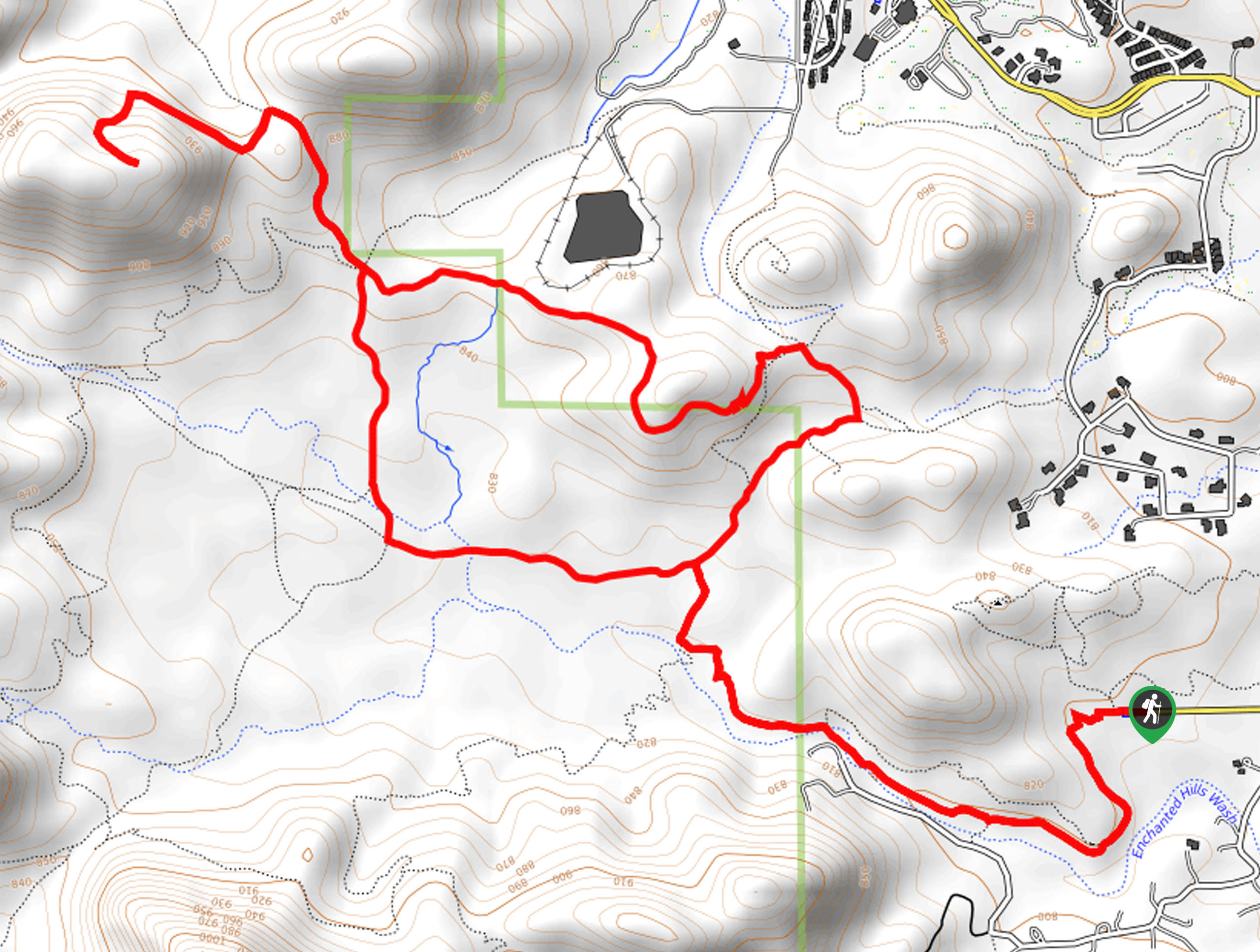
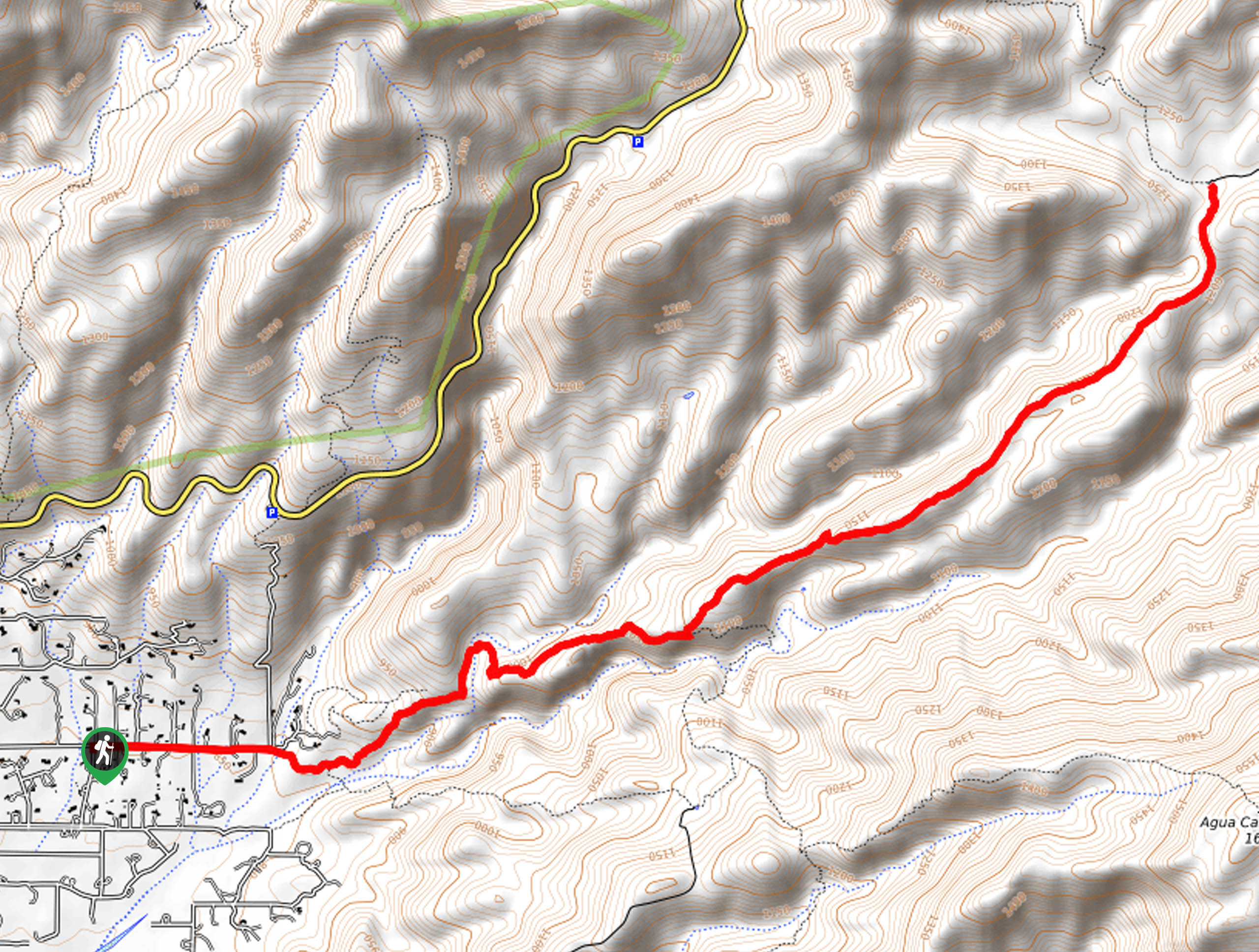
41. Agua Caliente Hill Trail
Difficulty
Agua Caliente Hill Trail is a great hike in the Tucson area. This route is… Read More
42. Signal Hill Trail
Difficulty
If you’re spending some time out with family, a picnic and the short hike on… Read More
43. Catalina Nature Trail
Difficulty
The Catalina Nature Trail is a laidback adventure in Tucson’s popular Catalina State Park. This… Read More
44. Sutherland Wash Petroglyphs Hike
Difficulty
The Sutherland Wash Petroglyphs hike mixes history of days past with present-day natural appeal in… Read More
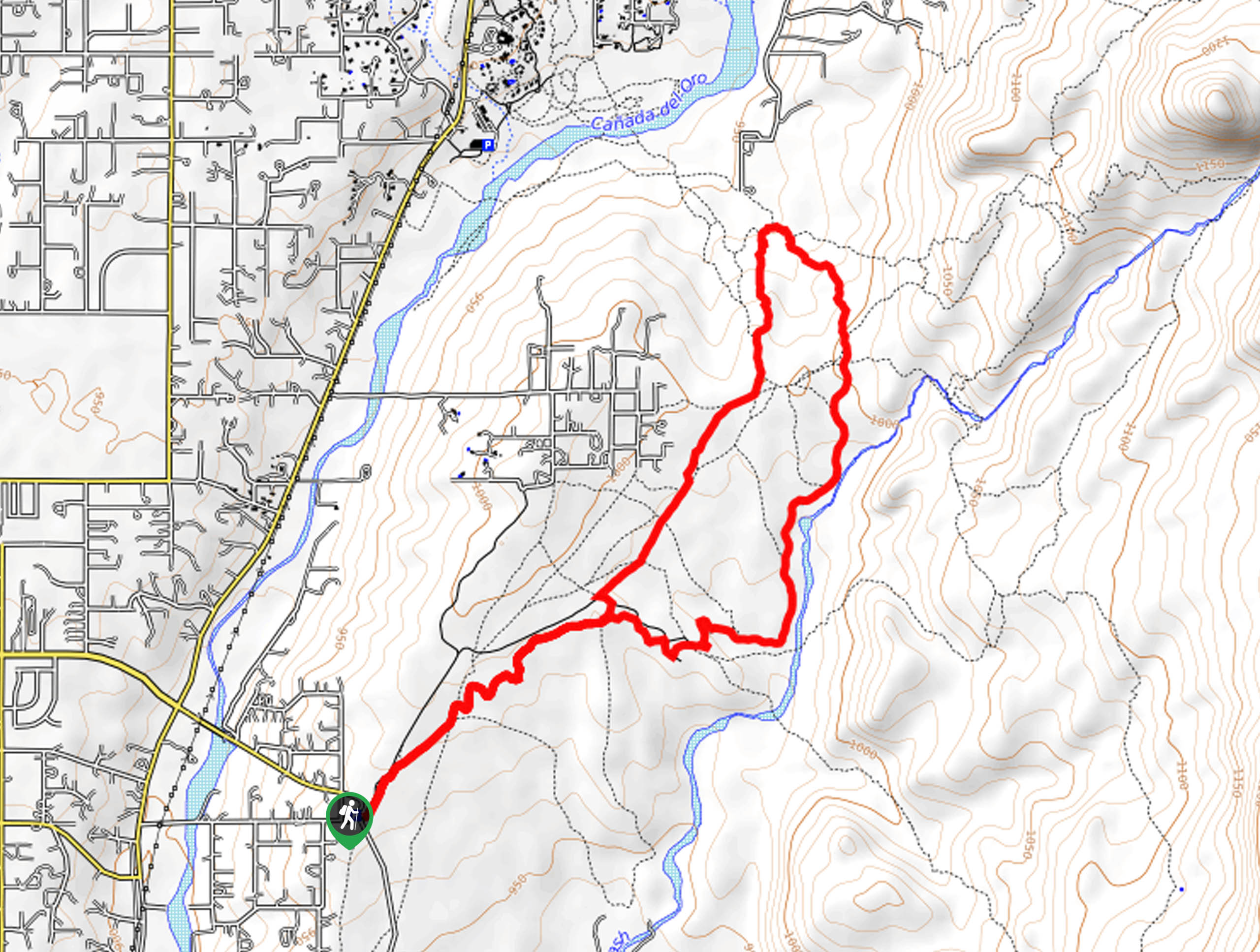
45. Sutherland Trail
Difficulty
The Sutherland Trail is one of the longer trails in Tucson, so this is a… Read More
46. Douglas Spring, Converse, and Wildhorse Loop
Difficulty
The Douglas Spring, Converse, and Wildhorse Loop is a 3.4mi hike in Saguaro… Read More
47. Pontatoc Canyon Trail
Difficulty
The Pontatoc Canyon Trail is one of several canyon trails in the gorgeous Sabino Canyon… Read More
48. David Yetman Trail
Difficulty
The David Yetman Trail is a 12.0mi route in Tucson Mountain Park named… Read More
49. Molino Basin via Arizona Trail
Difficulty
If you’re staying at the Molino Basin Campground, the hike to Molino Basin via Arizona… Read More
50. Molino Basin Trail
Difficulty
Should you be hiking or backpacking in the Molino Basin Campground, the Molino Basin Trail… Read More
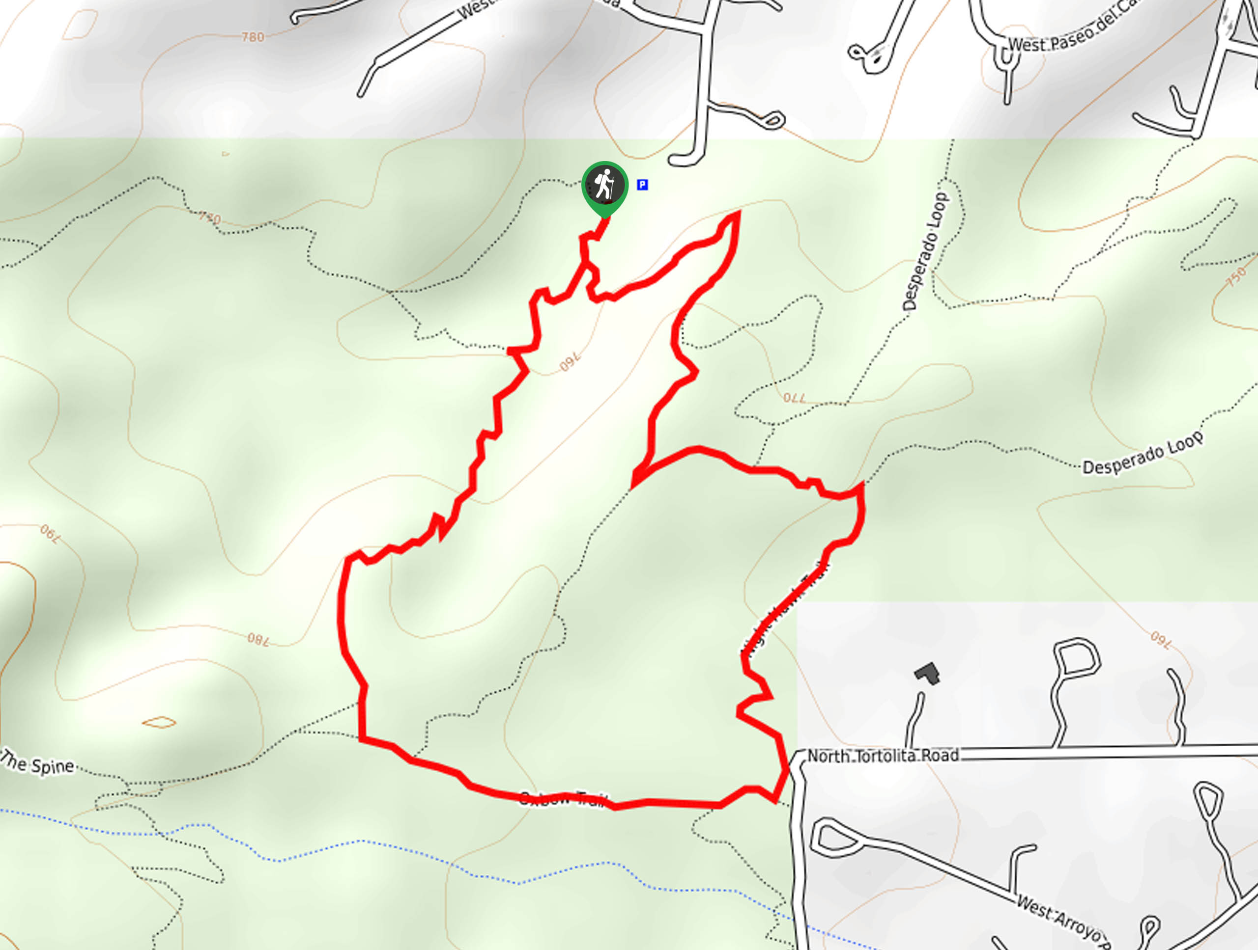
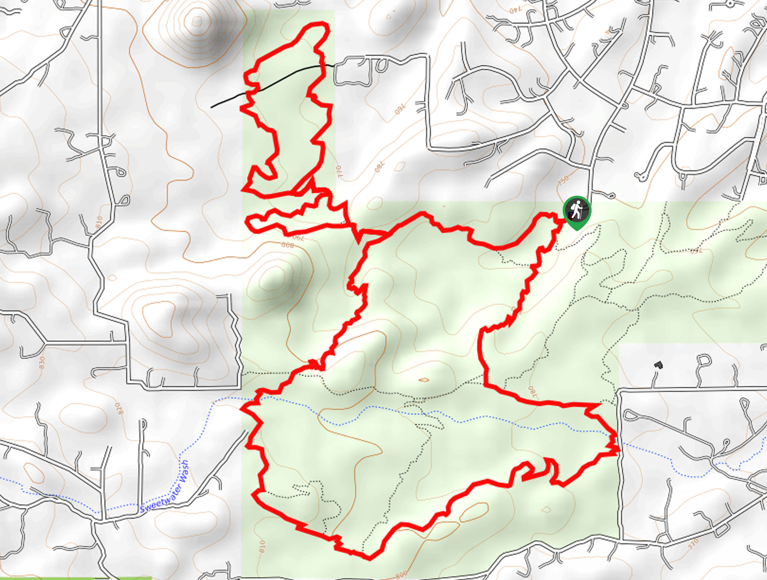
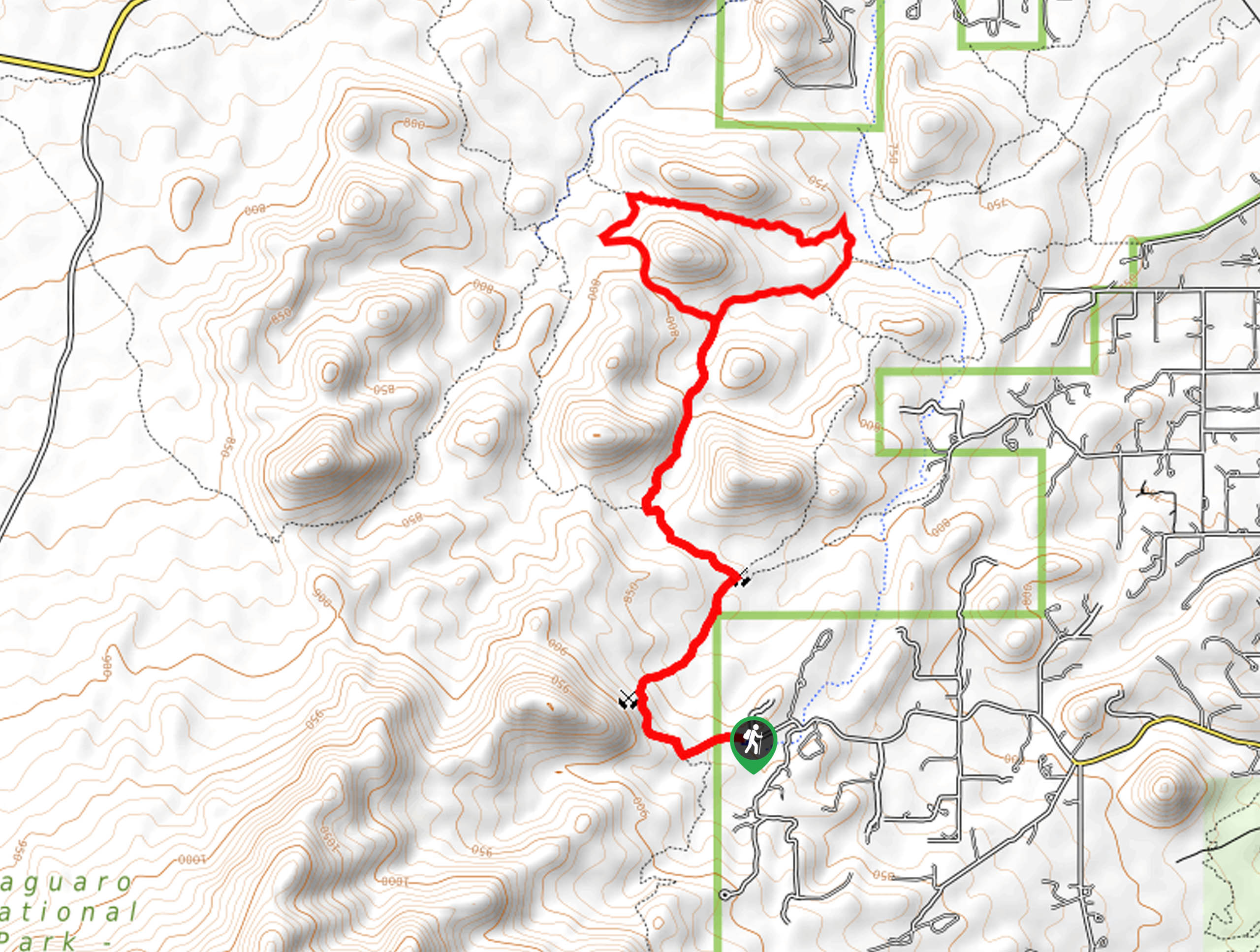
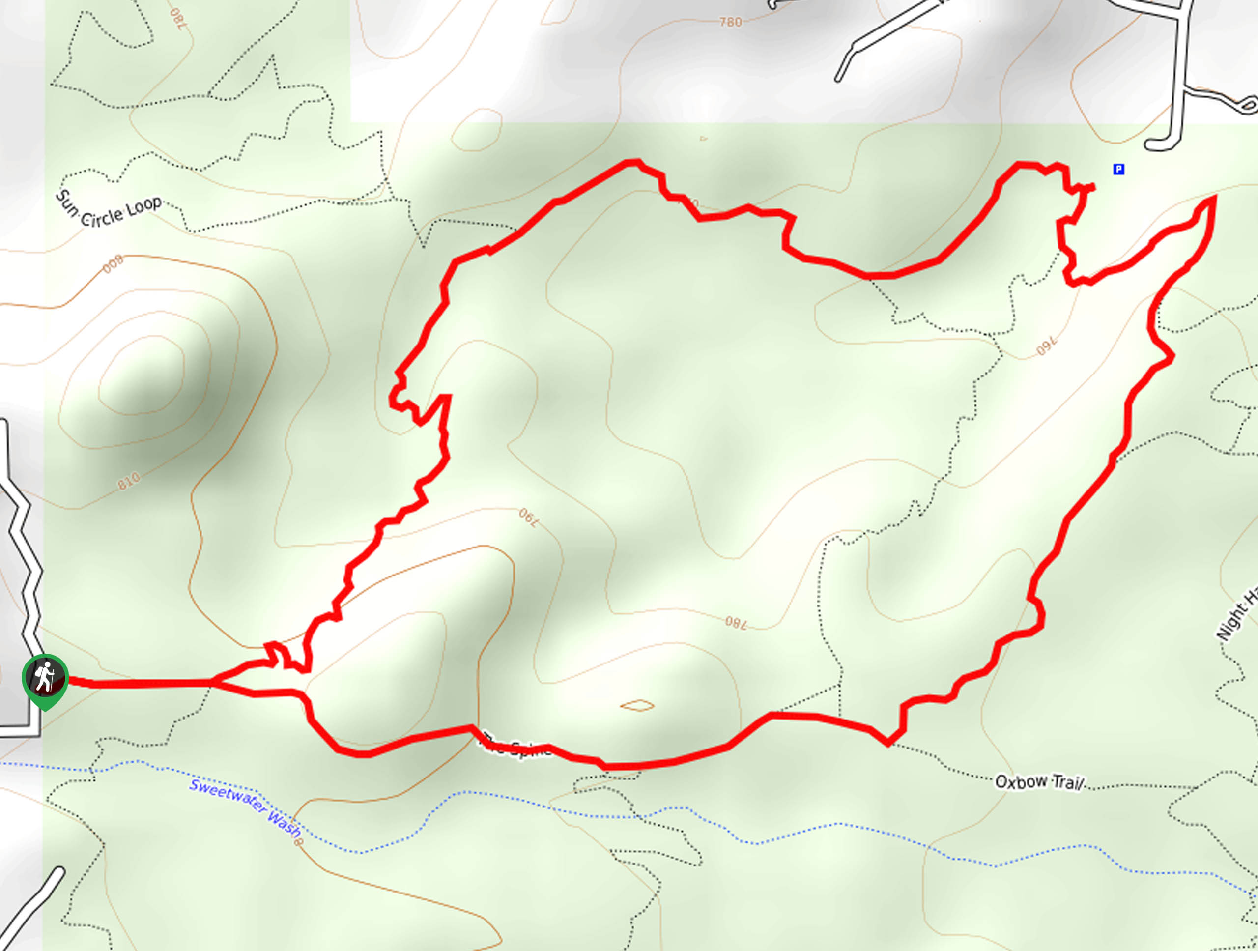
51. Wildflower Ridge, Oxbow, and Desperado Loop
Difficulty
The Wildflower Ridge, Oxbow, and Desperado Loop is a moderately trafficked hike in Tucson’s Sweetwater… Read More
52. Douglas Spring Trail
Difficulty
The Douglas Spring Trail is a 16.6mi hike in Saguaro National Park East.… Read More
53. Monsoon Loop via Mosaic Trail
Difficulty
As far as beginner hikes in the city go, the Monsoon Loop via Mosaic Trail… Read More
54. Rock Wren and Starr Pass Hike
Difficulty
The Rock Wren and Starr Pass Hike is an enjoyable jaunt from one side of… Read More
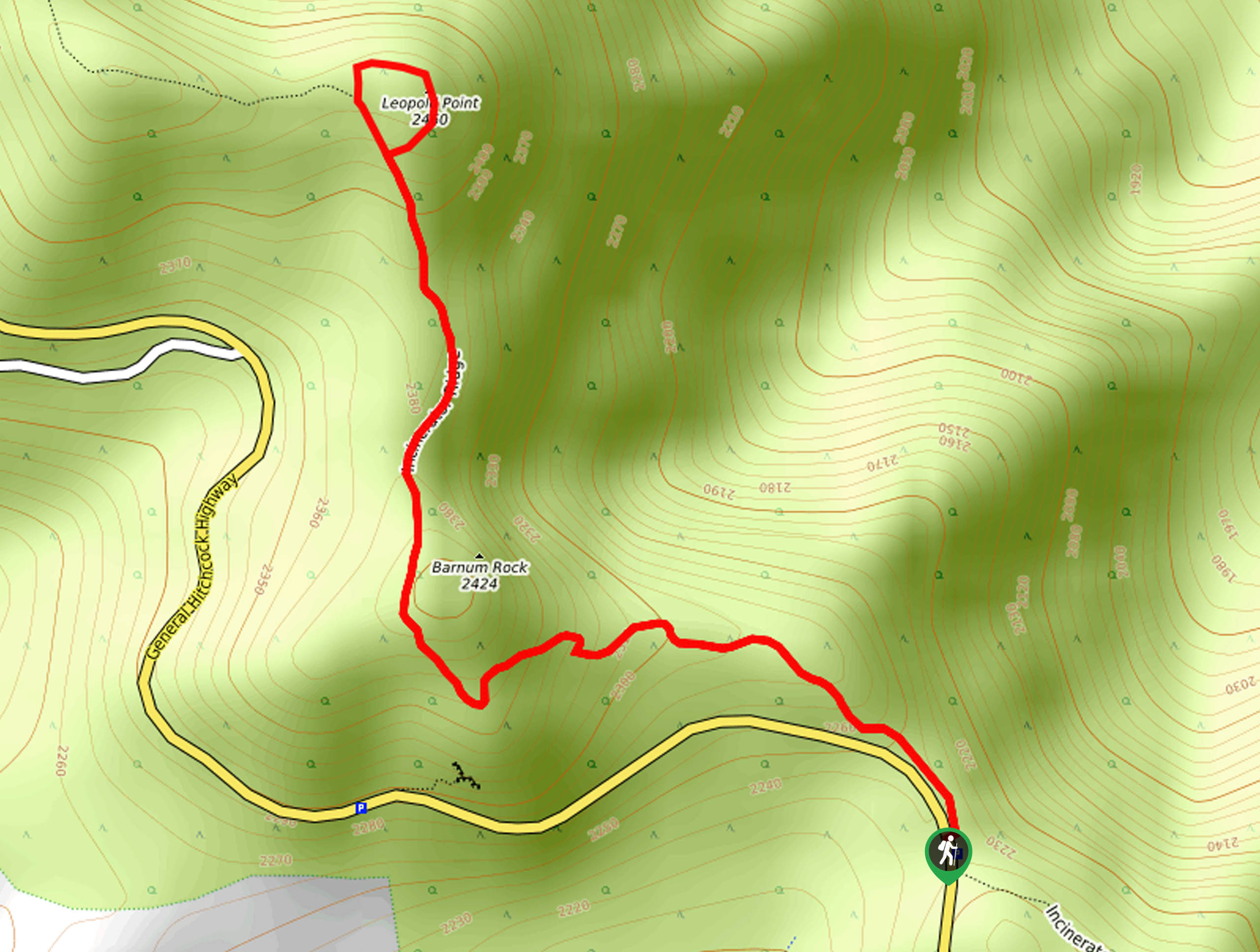
55. Leopold Point via Incinerator Ridge Trail
Difficulty
Beginning from the scenic San Pedro Vista and climbing a ridge past Barnum Rock to… Read More
56. Painted Hills Loop
Difficulty
If you’re looking for a relaxed beginner hike that you don’t need to venture far… Read More
57. Hope Camp Hike
Difficulty
The Hope Camp Hike is a trip along a dirt road with good scenery and… Read More
58. Gates Pass to Golden Gate Loop
Difficulty
The Gates Pass to Golden Gate Loop leads you through Tucson Mountain Park, showing off… Read More
59. 50 Year Trail
Difficulty
If a casual, meandering desert walk sounds like the right adventure for you, head up… Read More
60. Mint Spring Trail
Difficulty
Mint Spring Trail is a 3.4mi hike near Summerhaven. This route is easy,… Read More
61. Wildhorse Trail
Difficulty
Wildhorse Trail is a 3.1mi hike in Saguaro National Park East. This hike… Read More
62. Explorer Trail
Difficulty
Explorer Trail is a 5.6mi hike in Tucson Mountain Park. This hike is… Read More
63. Sabino Lake Loop
Difficulty
The Sabino Lake Loop is a 2.0mi hike through the Sabino Canyon Recreation… Read More
64. Soldier Trail
Difficulty
Soldier Trail is a tough 5.3mi hike in the Pusch Ridge Wilderness known… Read More
65. Mica View, Cholla, and Cactus Forest Loop
Difficulty
The Mica View, Cholla, and Cactus Forest Loop is a 5.6mi easy hike… Read More
66. Camaro Loop
Difficulty
The Camaro Loop is an easy hiking and mountain biking route in the south end… Read More
67. Agua Caliente Loop
Difficulty
The Agua Caliente Loop is an awesome hike in the Tucson area with canyon views… Read More
68. Thunderbird Trail
Difficulty
The Thunderbird Trail explores the eastern side of Saguaro National Park West, one of Tucson’s… Read More
69. Seven Falls and Phoneline Loop
Difficulty
The Seven Falls and Phoneline Loop leads you through the Sabino Canyon and Bear Canyon,… Read More
70. King Canyon Petroglyph Hike
Difficulty
The King Canyon Petroglyph Hike is an easy, heavily trafficked trail in Saguaro National Park… Read More
71. Phoneline Short Loop
Difficulty
The Phoneline Short Loop is an excellent way to spend time in the Sabino Canyon… Read More
72. Wilderness of Rocks Trail
Difficulty
The Wilderness of Rocks Trail is a rugged, adventurous trail near Summerhaven that intrepid, strong… Read More
73. Ventana and Esperero Trail
Difficulty
The Ventana and Esperero Trail is a point-to-point hike in the Pusch Ridge Wilderness that… Read More
74. Sendero Esperanza Trail
Difficulty
The Sendero Esperanza Trail leads you up a ridge to an excellent viewpoint in Tucson’s… Read More
75. Rock Wren, Yetman, and Starr Pass Loop
Difficulty
The Rock Wren, Yetman, and Starr Pass Loop leads you through the eastern side of… Read More
76. Ridge View Trail
Difficulty
The Ridge View Trail is a perfect route for those days when you want to… Read More
77. Black Rock Loop Trail
Difficulty
As much as rugged adventures can be fun, sometimes an easy breezy trail with great… Read More
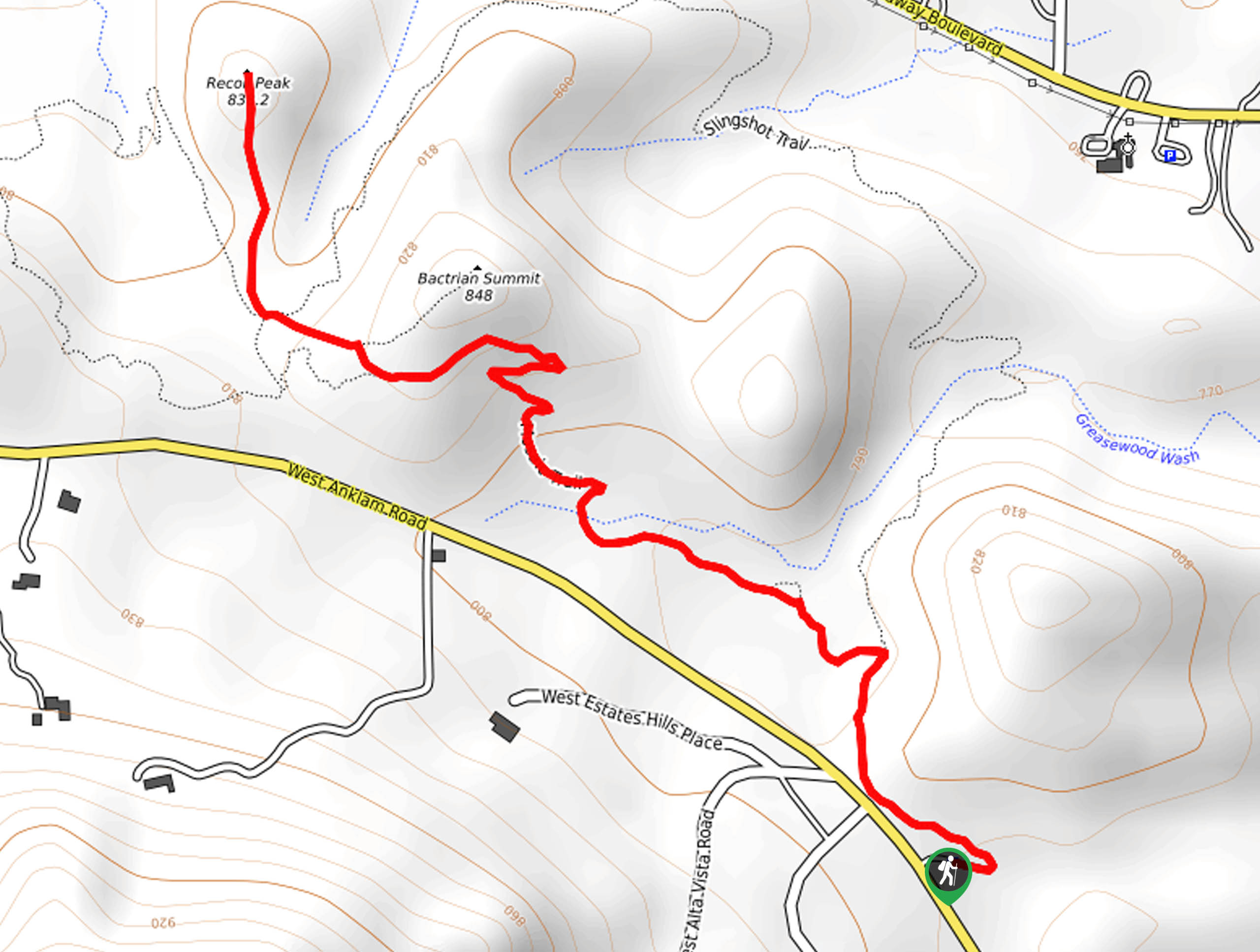
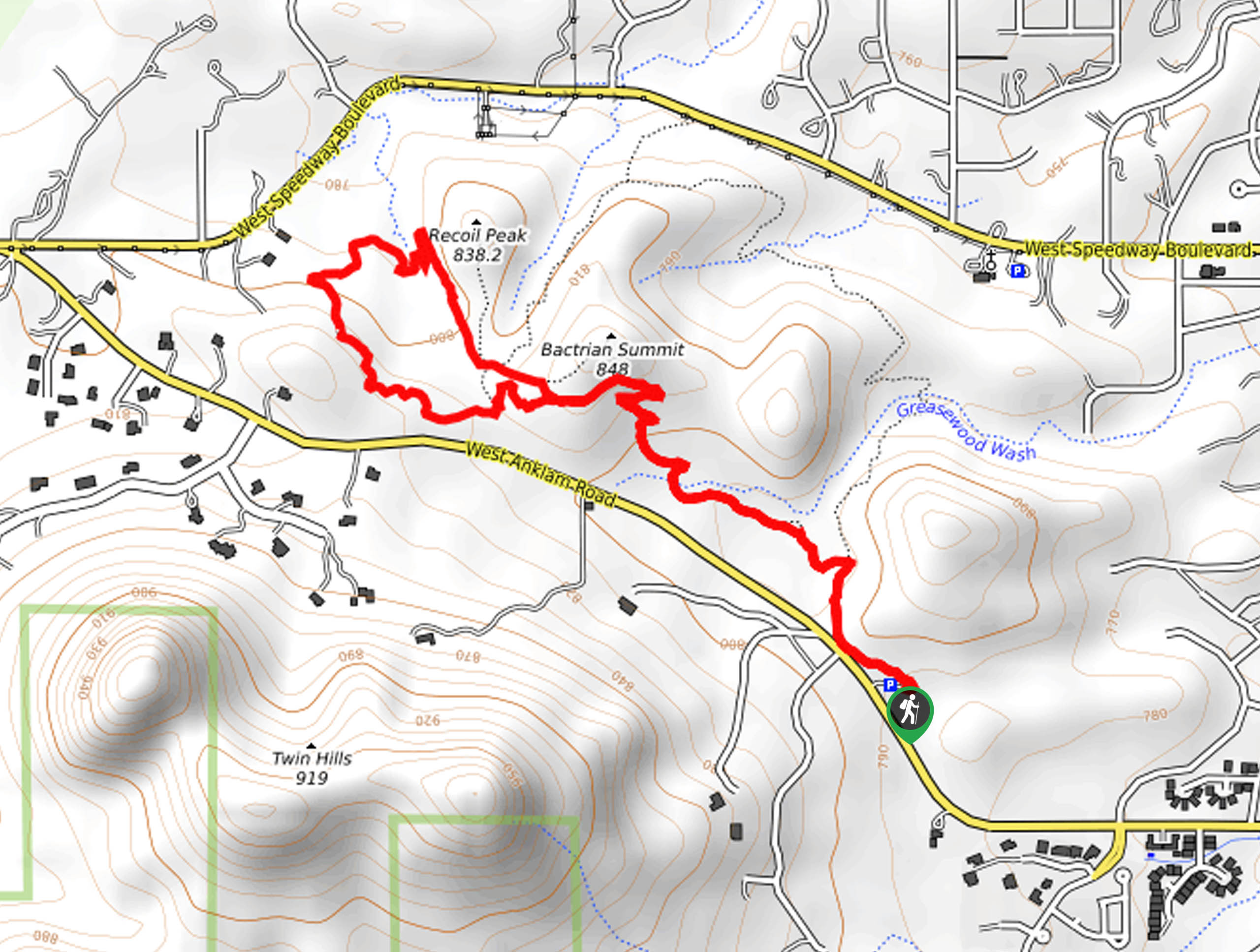
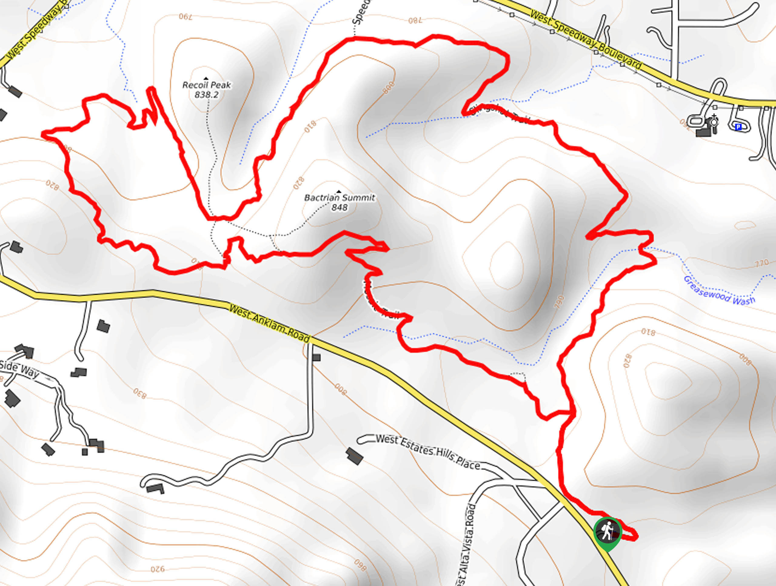
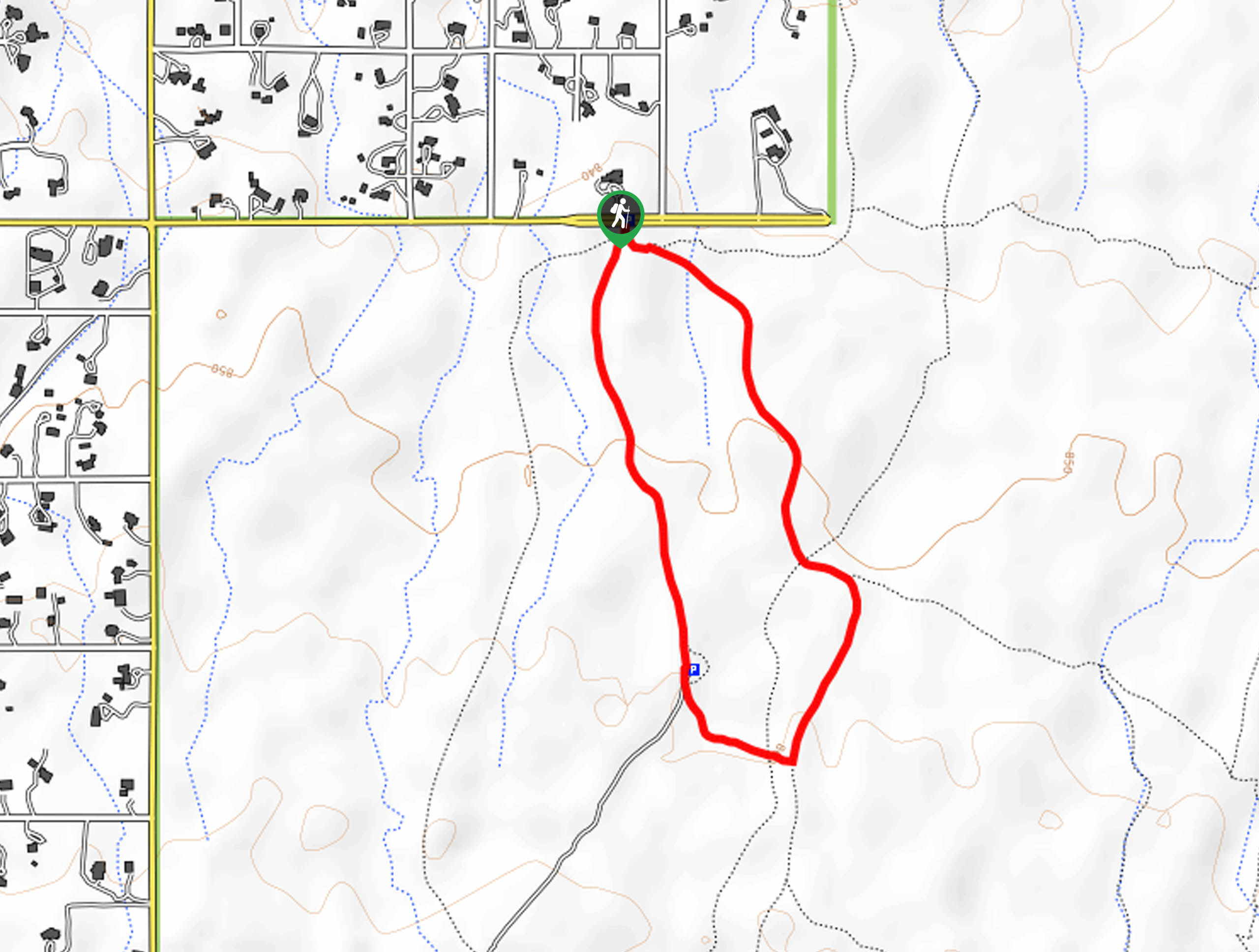
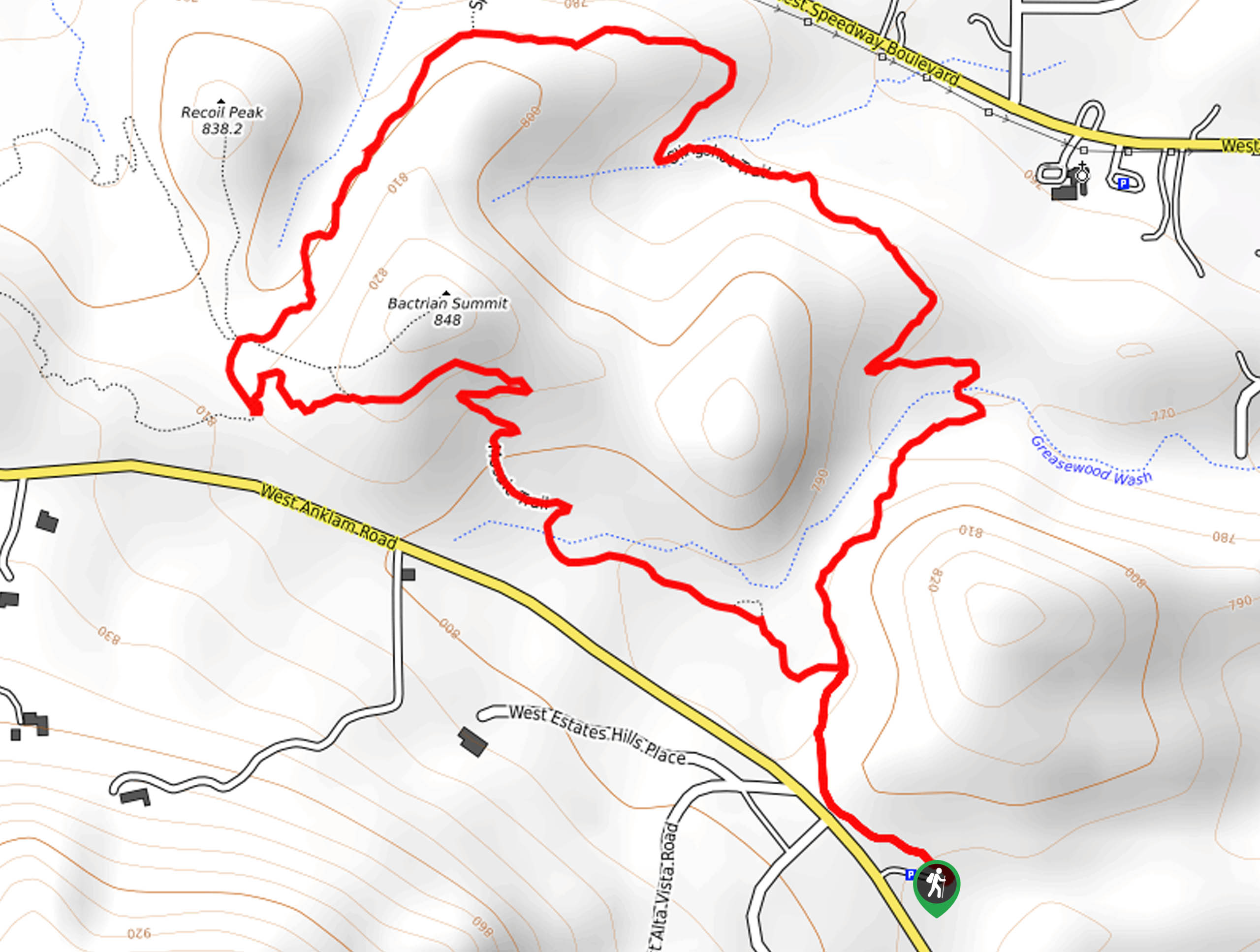
78. Recoil Peak via Mosaic Trail
Difficulty
Sometimes an easy viewpoint is all you want, and the hike to Recoil Peak on… Read More
79. Bittersweet, Camaro, and Sunset Pass Loop
Difficulty
The Bittersweet, Camaro, and Sunset Pass Loop is a moderately difficult 4.0mi hiking… Read More
80. Desperado Loop
Difficulty
When it comes to relaxing, easy trails, the Desperado Loop is one we consider a… Read More
81. Jack and George Mountain Trail
Difficulty
Jack and George Mountain Trail is a quick hike in Tucson, but even though it’s… Read More
82. Catalina Birding Loop
Difficulty
The Catalina Birding Loop is an excellent route for visitors to Catalina State Park who… Read More
83. Romero Ruins Hike
Difficulty
The Romero Ruins are the remnants of a prehistoric walled city, and you can check… Read More
84. Maiden Pools Hike
Difficulty
The hike to the Maiden Pools is a bit of a lesser-known gem in Tucson.… Read More
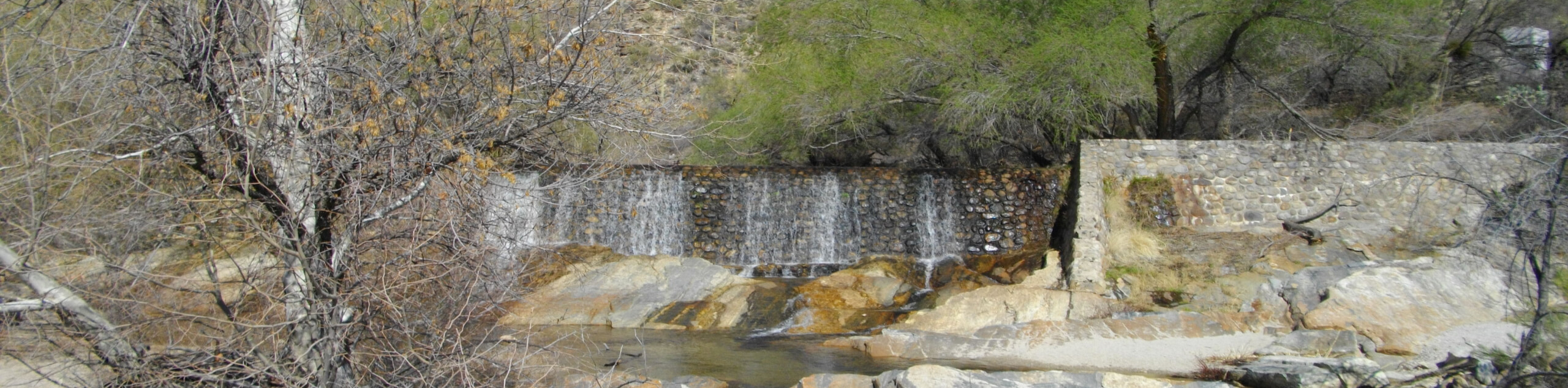
85. Gould Mine Hike
Difficulty
The Gould Mine hike might not have gold to find (it does have an old… Read More
86. Maeveen Behan Trail
Difficulty
If you’re in the northern reaches of Tucson, Maeveen Behan Trail is a great pick… Read More
87. Yetman and 5th Avenue Trail
Difficulty
The Yetman and 5th Avenue Trail hike makes use of two of the main routes… Read More
88. Mica View to Cactus Forest Loop
Difficulty
The Mica View to Cactus Forest Loop is an easy hike in Saguaro National Park… Read More
89. Saguaro Vista, Lost Arrow, and Wildflower Loop
Difficulty
The Saguaro Vista, Lost Arrow, and Wildflower Loop shows off the wonderful scenery of Tucson’s… Read More
90. Garwood Trail
Difficulty
The Garwood Trail is an easy route in Tucson’s Saguaro National Park East. This hike… Read More
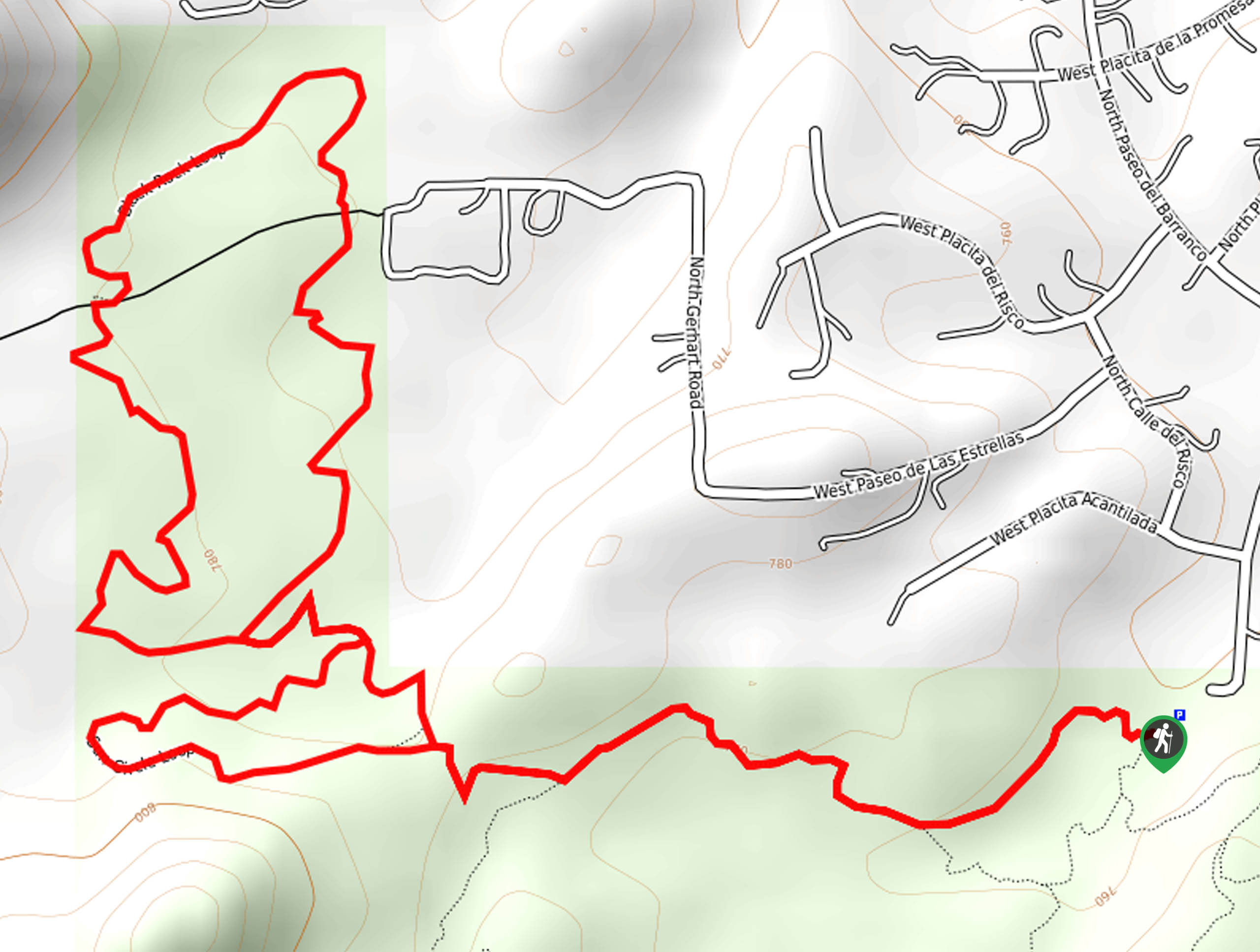
91. Slingshot Trail and Mosaic Trail Loop
Difficulty
Looking for beginner-friendly or kid-friendly hikes in the city? The Slingshot Trail and Mosaic Trail… Read More
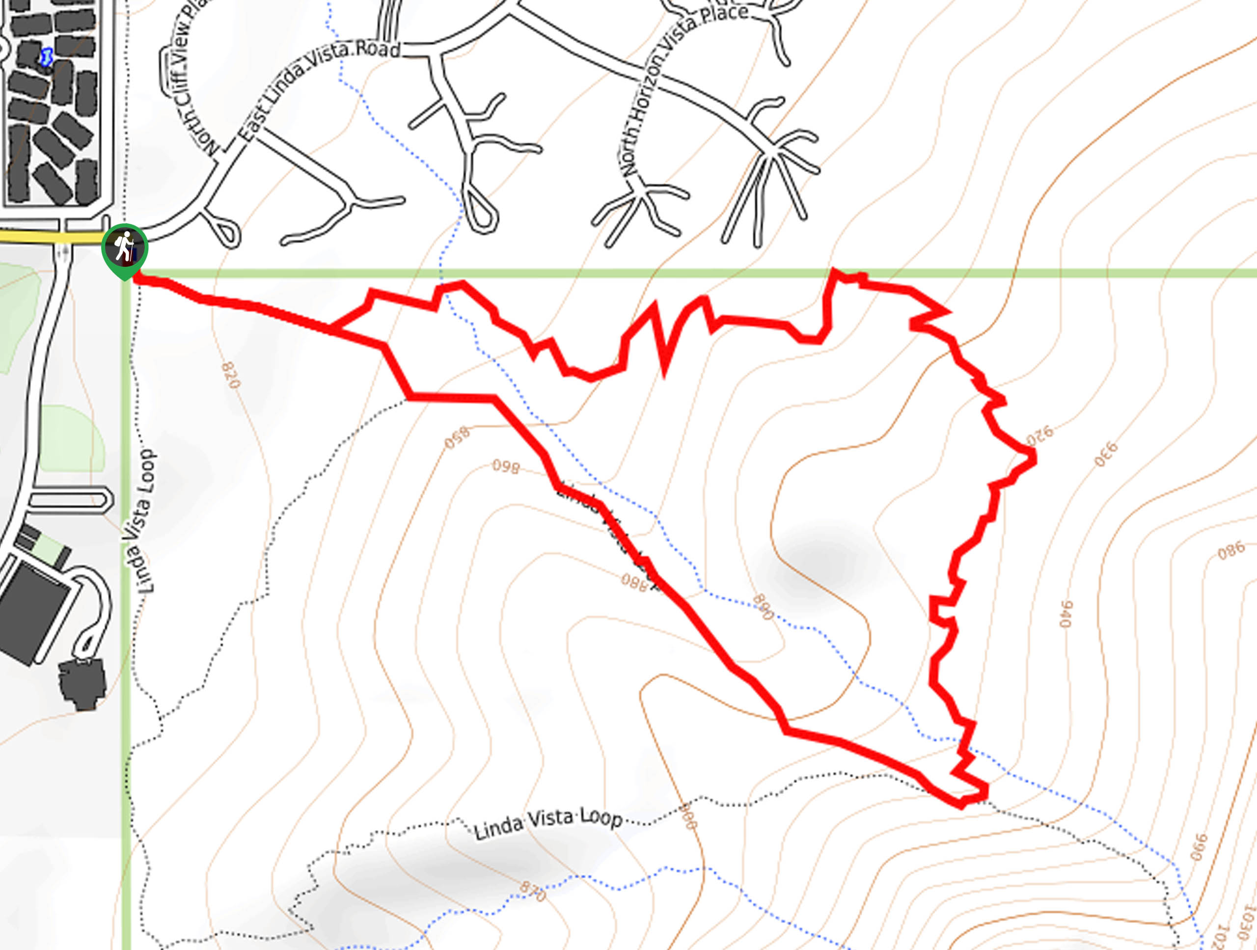
92. Linda Vista Short Loop
Difficulty
The Linda Vista Short Loop is a short route in Tucsons’ Pusch Ridge Wilderness. This… Read More
93. Mount Lemmon, Wilderness of Rocks, and Aspen Loop
Difficulty
The Mount Lemmon, Wilderness of Rocks, and Aspen Loop is a rugged, adventurous hike near… Read More
94. Douglas Spring to Three Tank Trail Junction
Difficulty
For hikers who want to explore Douglas Spring Trail but who don’t want to take… Read More
95. Garwood Dam to Douglas Spring Loop
Difficulty
Revel in the unique beauty of Tucson’s Saguaro National Park East on the Garwood Dam… Read More
96. Finger Rock Trail to Pima Canyon Trail
Difficulty
The Finger Rock Trail to Pima Canyon Trail hike is a 13.0mi route… Read More
97. Freeman Homestead Nature Trail
Difficulty
The Freeman Homestead Nature Trail is a short and sweet route in Saguaro National Park… Read More
98. Pink Hill, Loma Verde, Cholla, and Cactus Forest Loop
Difficulty
The Pink Hill, Loma Verde, Cholla, and Cactus Forest Loop is a 3.2mi… Read More
99. Mount Kimball via Pima Canyon Trail
Difficulty
Reach the top of Mount Kimball via Pima Canyon using this route guide. This route… Read More
100. Saguaro Vista Loop
Difficulty
The Saguaro Vista Loop shows off the stunning sky-high saguaros in Tucson’s Sweetwater Preserve on… Read More
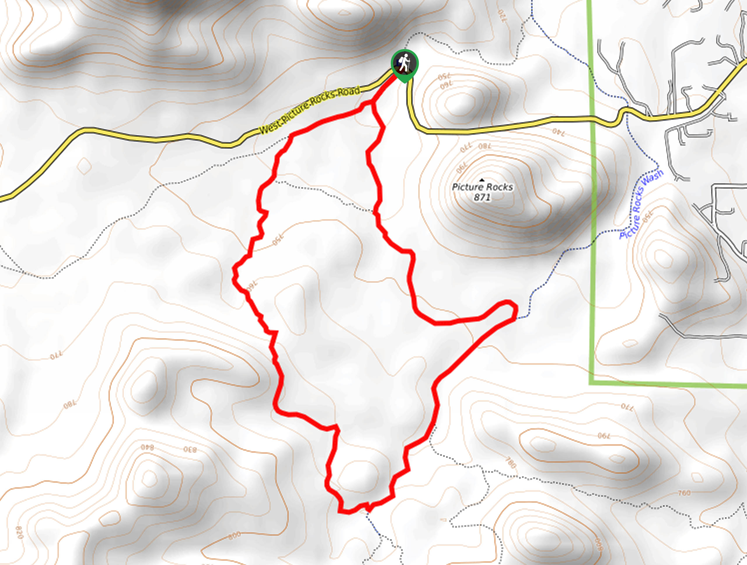
101. Cam Boh, Picture Rocks, and Ironwood Forest Trail Loop
Difficulty
The Cam Boh, Picture Rocks, and Ironwood Forest Trail Loop is an easy hike in… Read More
102. Sabino to Phoneline Loop
Difficulty
The Sabino to Phoneline Loop leads you through the Sabino Canyon on both sides. The… Read More
103. Packrat and Passey Loop Trail
Difficulty
The Packrat and Passey Loop Trail is a lightly trafficked serene route that begins in… Read More
104. Saguaro Vista, Black Rock, and Oxbow Loop
Difficulty
The Saguaro Vista, Black Rock, and Oxbow Loop shows off the lovely scenery in Tucson’s… Read More
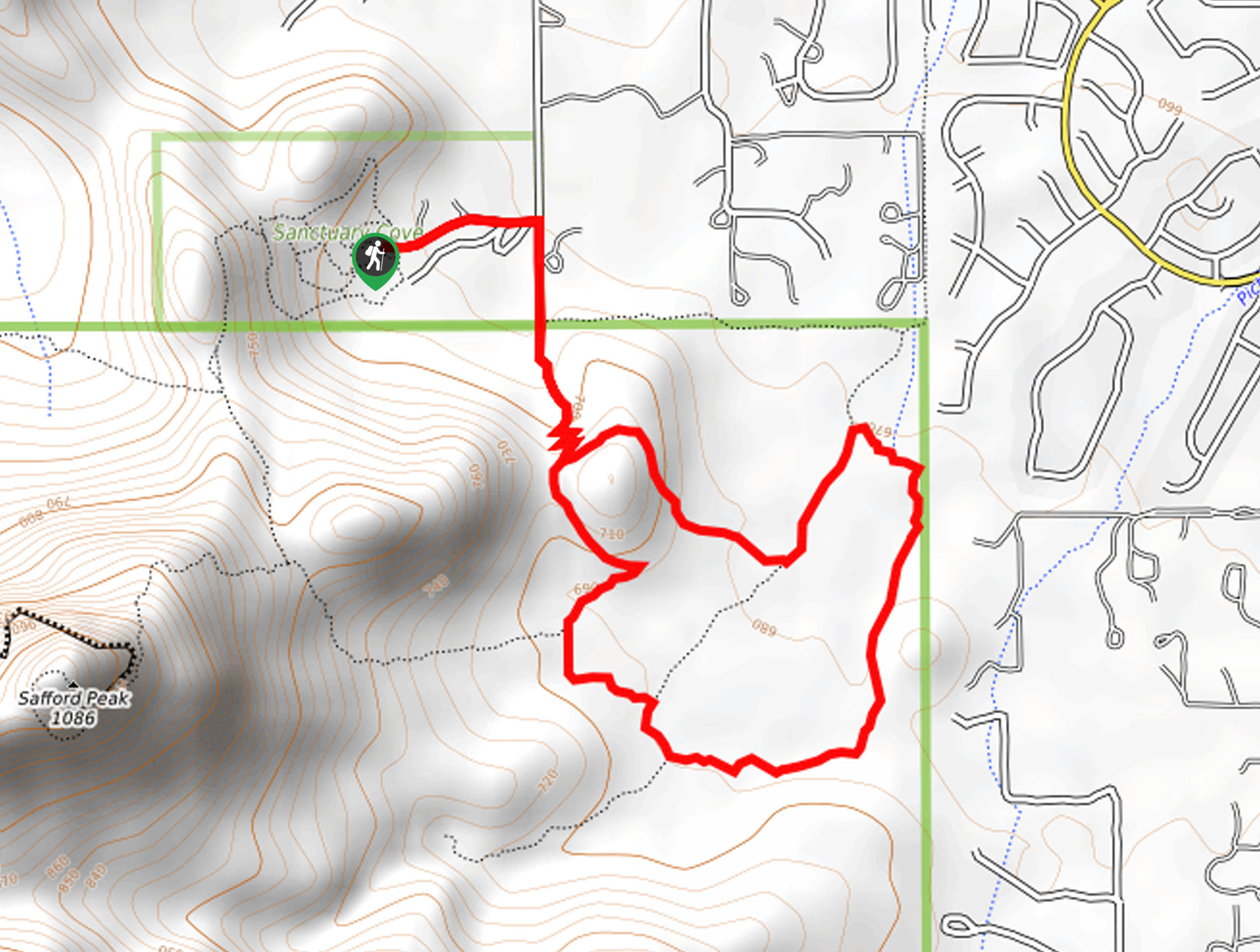
105. Vertical Cliffs to Abington Loop
Difficulty
Tucked up into a corner of Tucson's Saguaro National Park West, the Vertical Cliffs to… Read More
106. Bunny Loop
Difficulty
The Bunny Loop is a 4.7mi easy hiking and mountain biking trail south… Read More
107. Ernie's Falls Hike
Difficulty
The Ernie's Falls hike is a moderate hike in Saguaro National Park East that leads… Read More
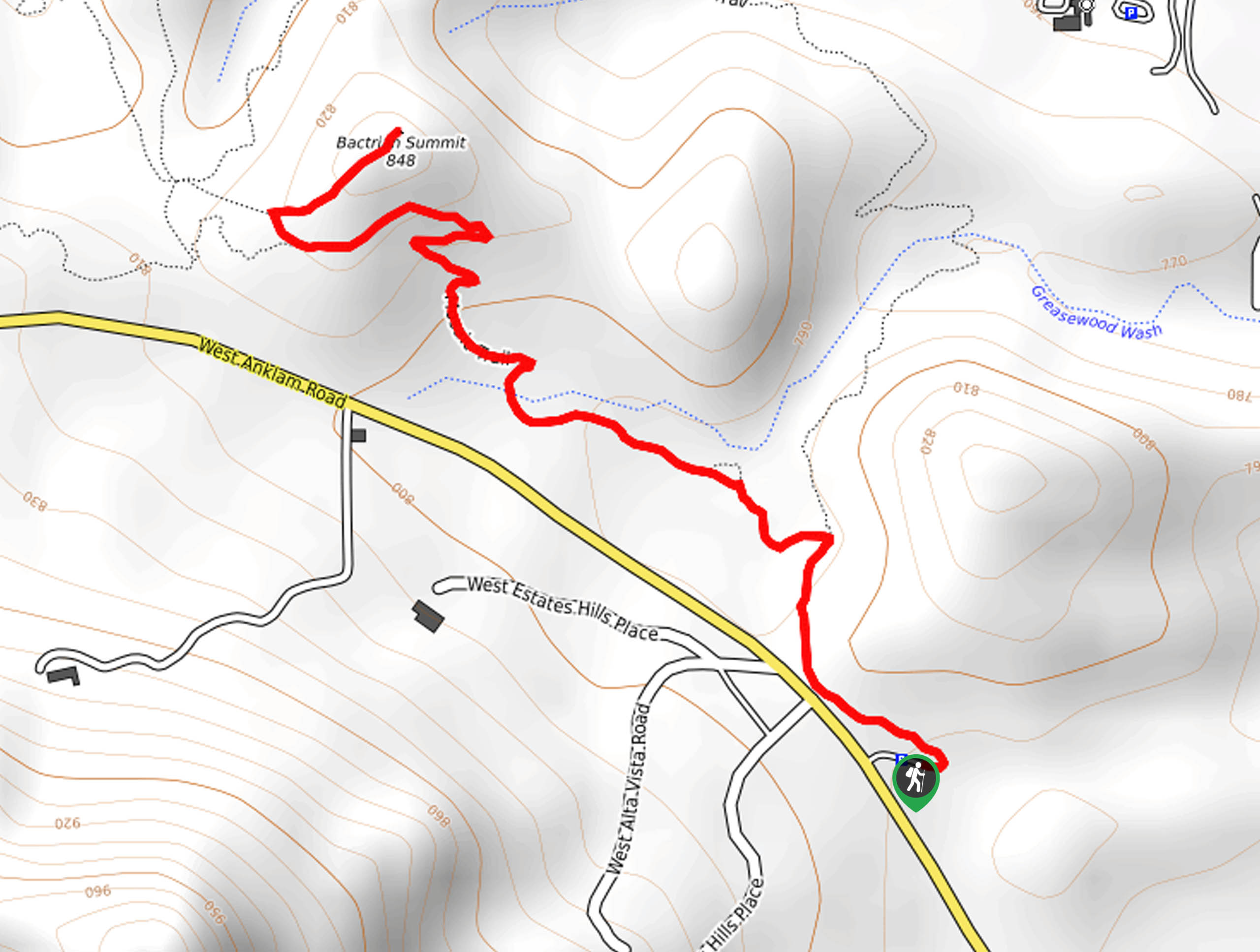
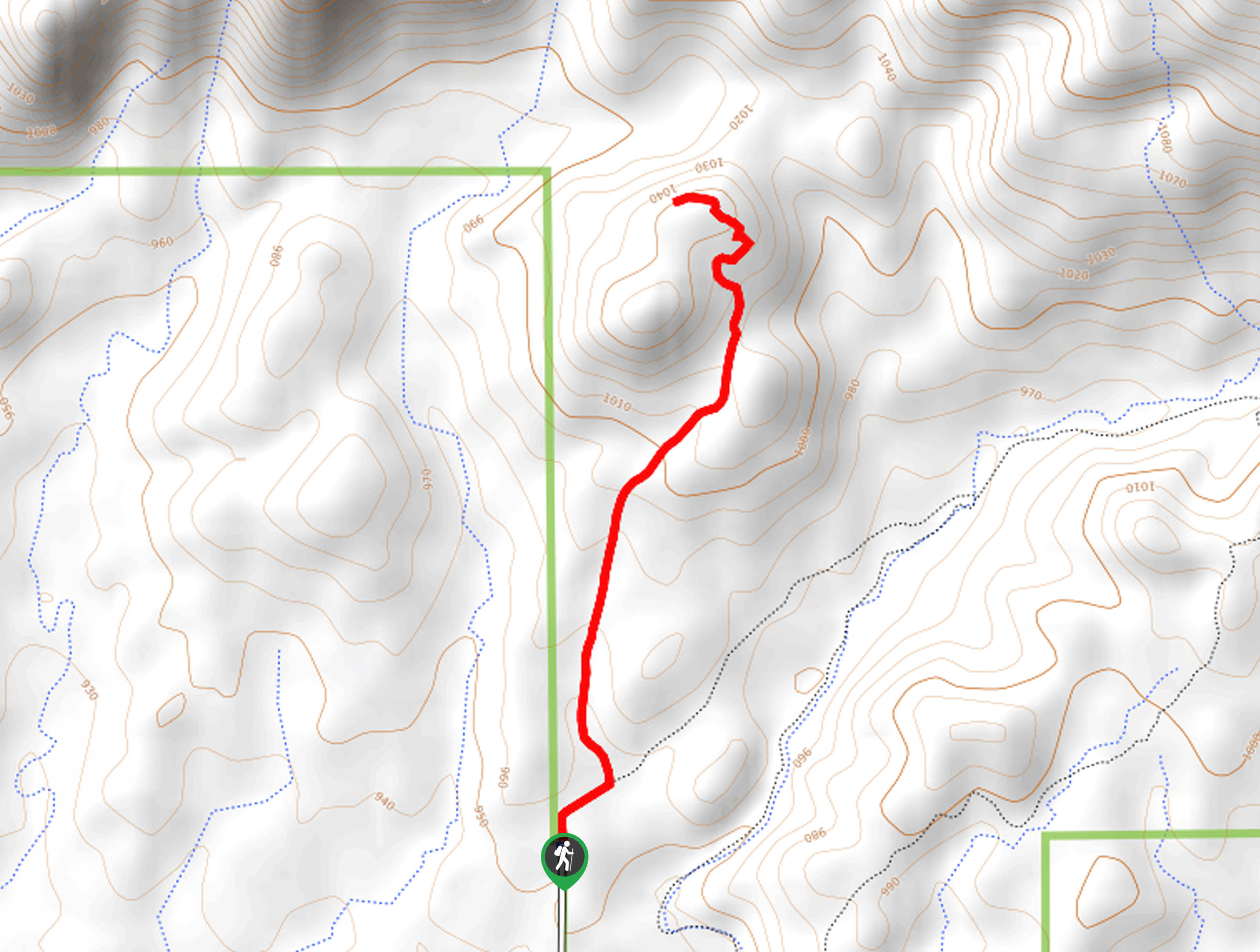
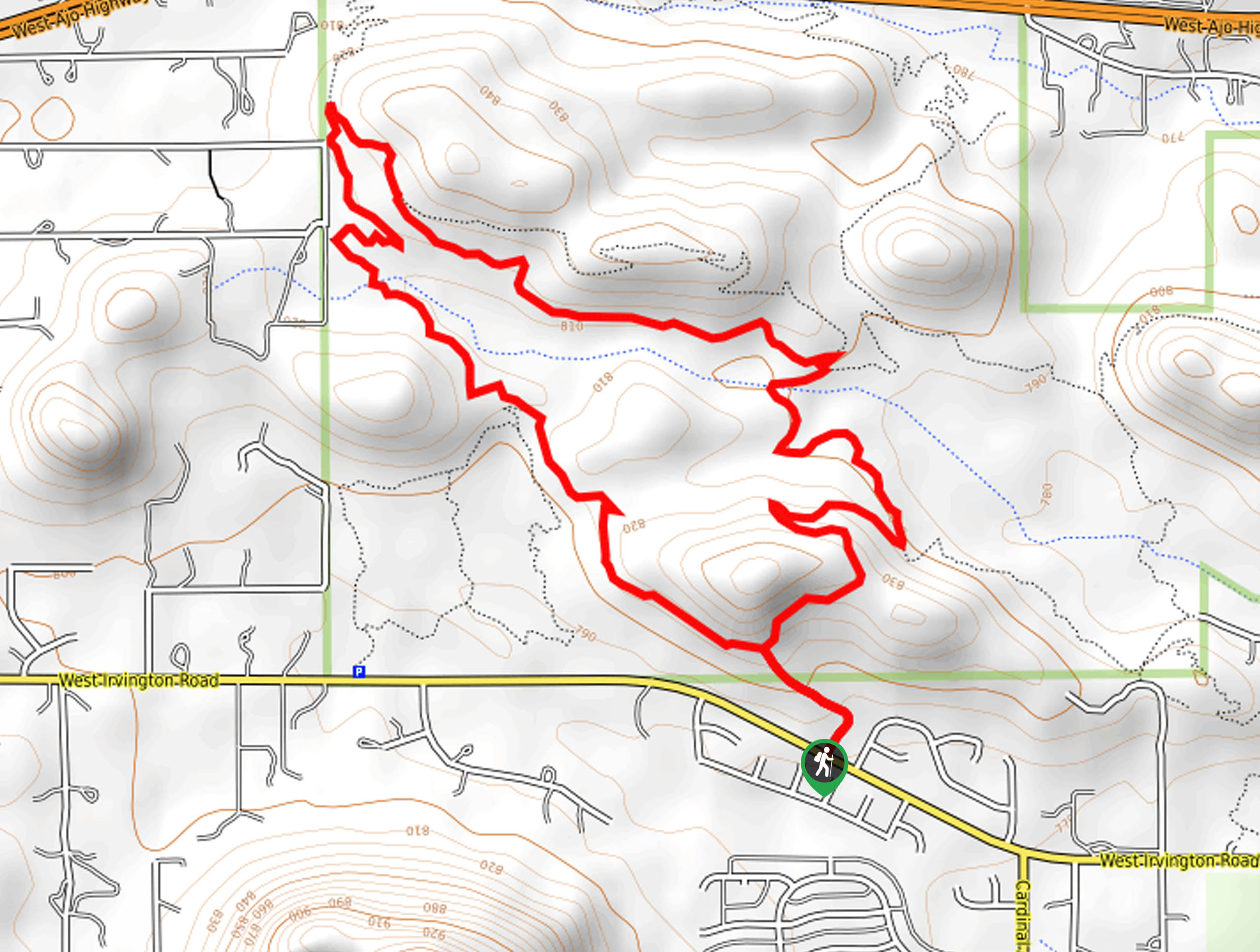
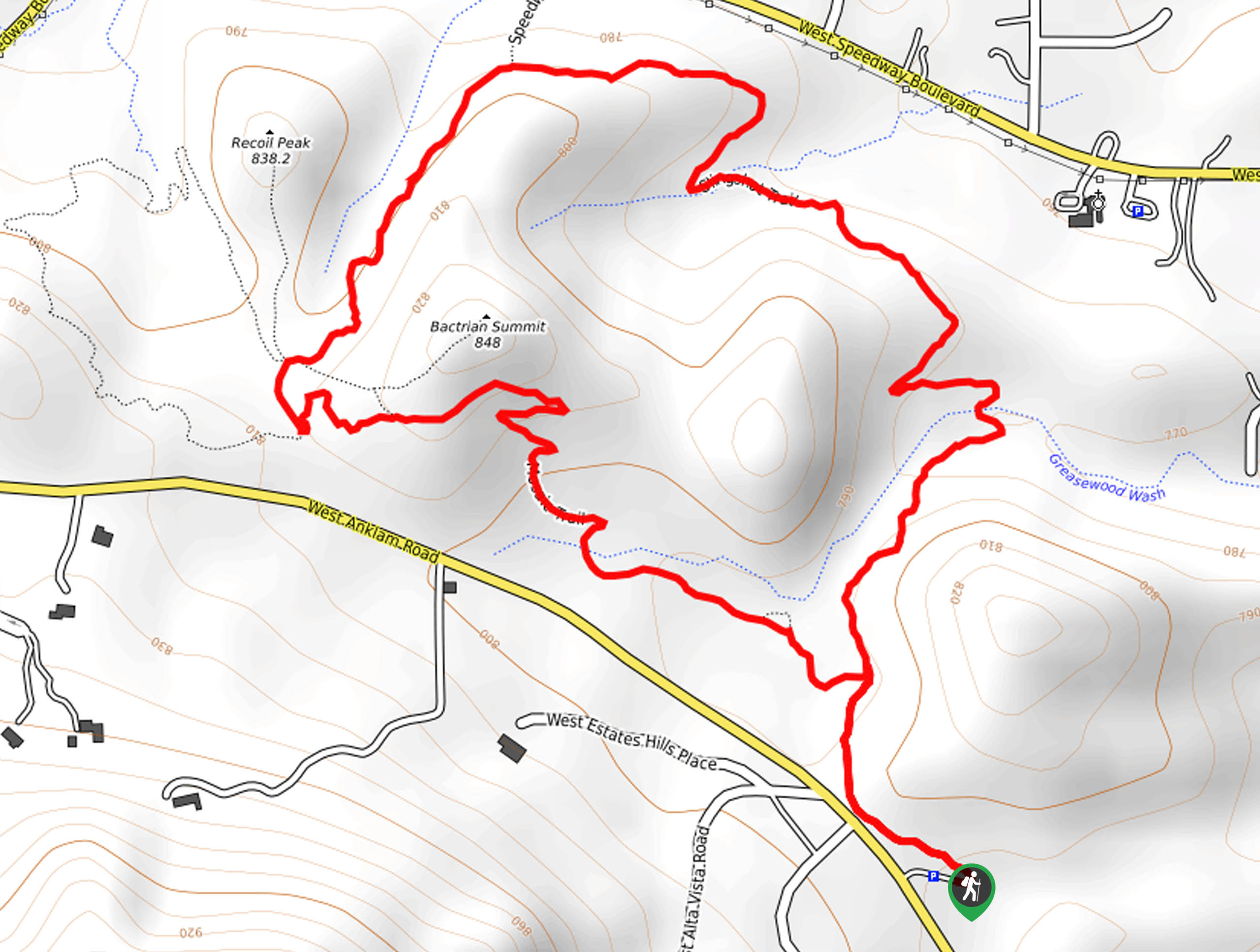
108. Bactrian Summit via Mosaic Trail
Difficulty
Perched on the bench atop Bactrian Summit, you won’t feel like you’re in the city… Read More
109. Rock Wren Trail
Difficulty
The Rock Wren Trail is one of the most popular trails in Tucson Mountain Park,… Read More
110. Wild Dog Trail
Difficulty
It’s probably impossible to pick a bad trail in the Saguaro Wilderness, but the Wild… Read More
111. Mosaic and Slingshot Loop
Difficulty
Painted Hills Trail Park is one of our favorite destinations in Tucson for fast, accessible,… Read More
112. Buster Mountain via Birding Trail
Difficulty
Strong hikers looking for their next big adventure in Tucson can give Buster Mountain via… Read More
113. Cactus Canyon and Gila Monster Loop
Difficulty
The Cactus Canyon and Gila Monster Loop is a 6.0mi hike in Tucson’s… Read More
114. Dripping Spring via Sutherland Trail
Difficulty
Starting off in Tucson’s lovely Catalina State Park, the hike to Dripping Springs on Sutherland… Read More
115. Bear Canyon Trail
Difficulty
Bear Canyon Trail is one of the main routes in Tucson’s Sabino Canyon Recreation Area.… Read More

116. Hugh Norris, Sendero Esperanza, and Dobbie Wash Loop
Difficulty
The Hugh Norris, Sendero Esperanza, and Dobbie Wash Loop is a bit of a mouthful,… Read More

117. Cactus Forest, Squeeze Pen, and Pink Hill Loop
Difficulty
The Cactus Forest, Squeeze Pen, and Pink Hill Loop is an easy trail in Tucson’s… Read More

118. Shantz, Cholla, and Cactus Forest Loop
Difficulty
The Shantz, Cholla, and Cactus Forest Loop is an easy trail in Tucson’s Saguaro National… Read More
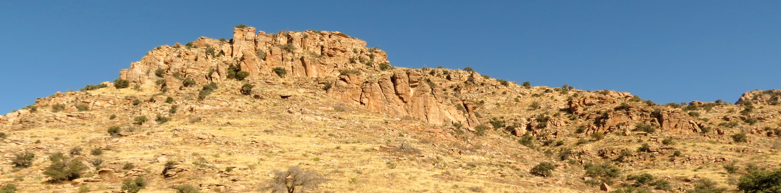
119. Saguaro Vista, Spine, and Desperado Loop
Difficulty
The Saguaro Vista, Spine, and Desperado Loop is a 3.1mi hike that shows… Read More
Are we missing your favourite hike?
Tell us! If you've got photos, a GPS track and know the hike, we'd love to share your favourite hike with the rest of the 10Adventures community.