Molino Basin Trail
View Photos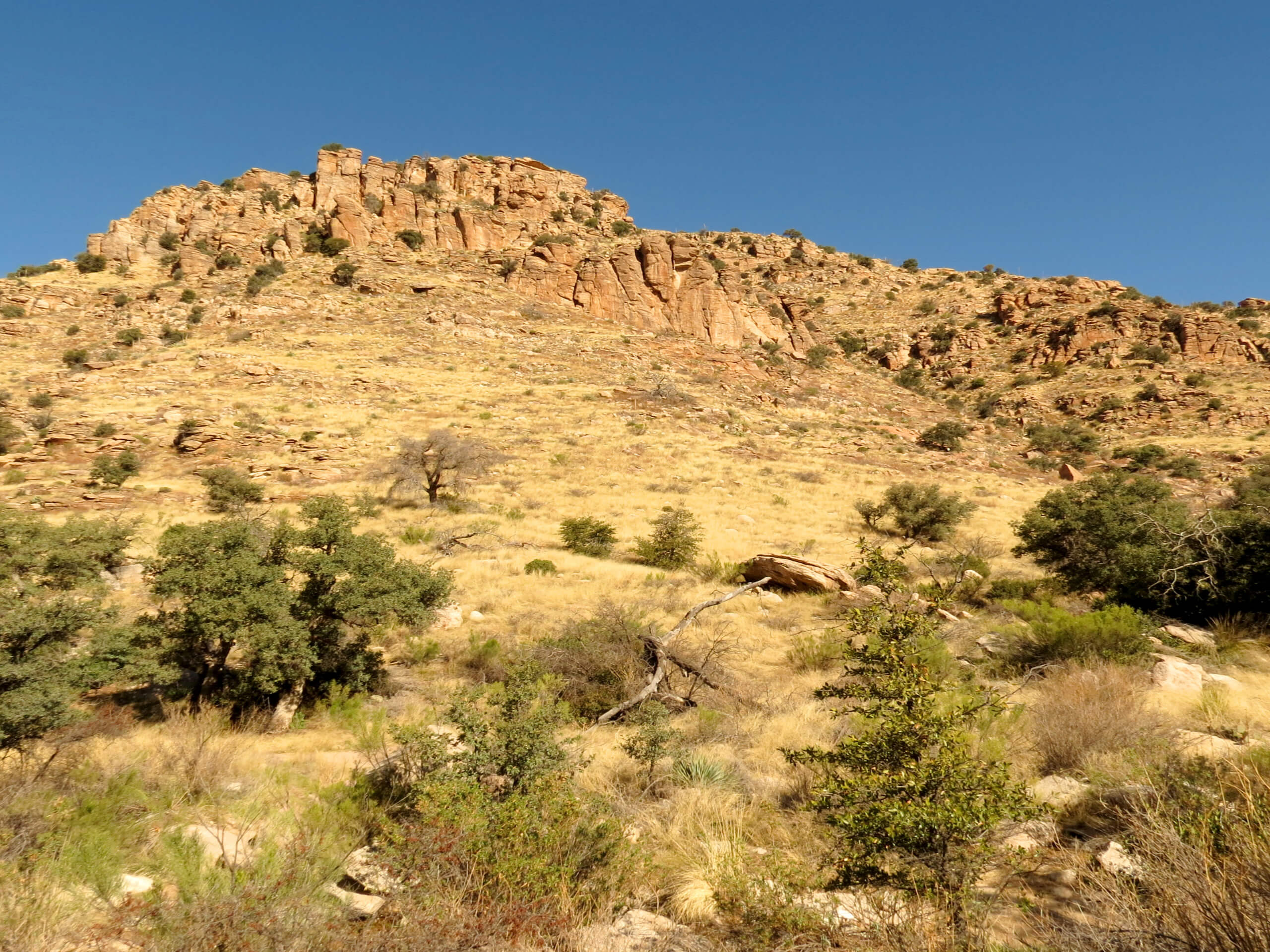
Molino Basin Trail
Difficulty Rating:
Should you be hiking or backpacking in the Molino Basin Campground, the Molino Basin Trail can connect you to the Gordon Hirabayashi Campground. This route acts mostly as a thoroughfare for hikers bound for the viewpoint at Molino Basin on the Arizona Trail, but it can be useful whether you're coming or going in either direction. This is a moderate route that allows dogs on leash.
Getting there
The trailhead for Molino Basin Trail is in the Molino Basin Campground.

About
| Backcountry Campground | Molino Basin Campground, Gordon Hirabayashi Campground |
| When to do | October-May |
| Pets allowed | Yes - On Leash |
| Family friendly | Yes |
| Route Signage | Average |
| Crowd Levels | Moderate |
| Route Type | Out and back |
Molino Basin Trail
Elevation Graph
Weather
Molino Basin Trail Description
Those staying at the Molino Basin Campground can use the Molino Basin Trail to reach the Gordon Hirabayashi Campground. While our route is an out and back from Molino to Hirabayashi, you can use this route as a one-way guide from either campground to the next; just halve the distance. You can also check out our Molino Basin via Arizona Trail guide should you be interested in checking out the viewpoint just east of Molino Basin Campground.
Dogs are allowed on this route on leash. You may also encounter horseback riders, so remember to give them the right of way and announce yourself if you need to pass.
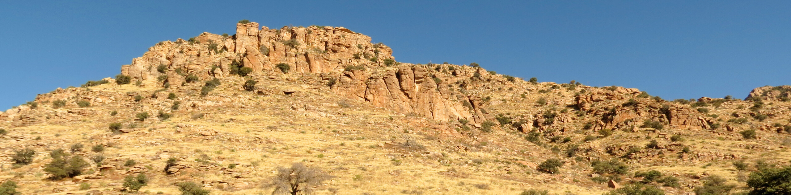
From the trailhead at Molino Basin Campground, take Molino Basin Trail southwest as it runs alongside the highway. Two short switchbacks get you up onto the base of the ridge that runs parallel to the highway, which you’ll follow for a while. Descend another short set of switchbacks as you approach Gordon Hirabayashi Campground, where the route ends. Either set up here or turn back if you’re hiking this as an out and back.
Similar hikes to the Molino Basin Trail hike

Shantz, Cholla, and Cactus Forest Loop
The Shantz, Cholla, and Cactus Forest Loop is an easy trail in Tucson’s Saguaro National Park East. The star of…

Cactus Forest, Squeeze Pen, and Pink Hill Loop
The Cactus Forest, Squeeze Pen, and Pink Hill Loop is an easy trail in Tucson’s Saguaro National Park East. This…

Hugh Norris, Sendero Esperanza, and Dobbie Wash Loop
The Hugh Norris, Sendero Esperanza, and Dobbie Wash Loop is a bit of a mouthful, but it’s a great hike…
Comments