Molino Basin via Arizona Trail
View Photos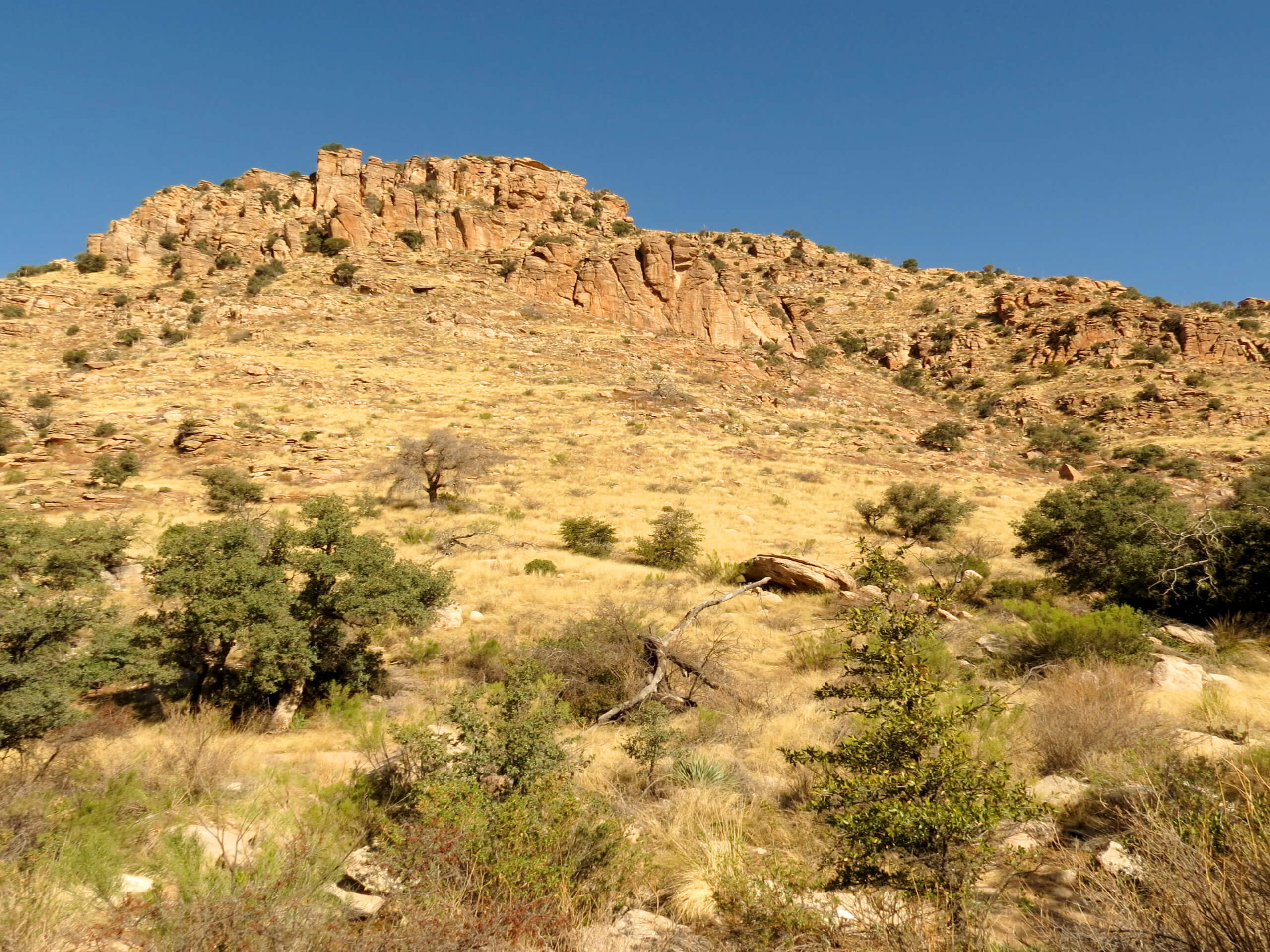
Molino Basin via Arizona Trail
Difficulty Rating:
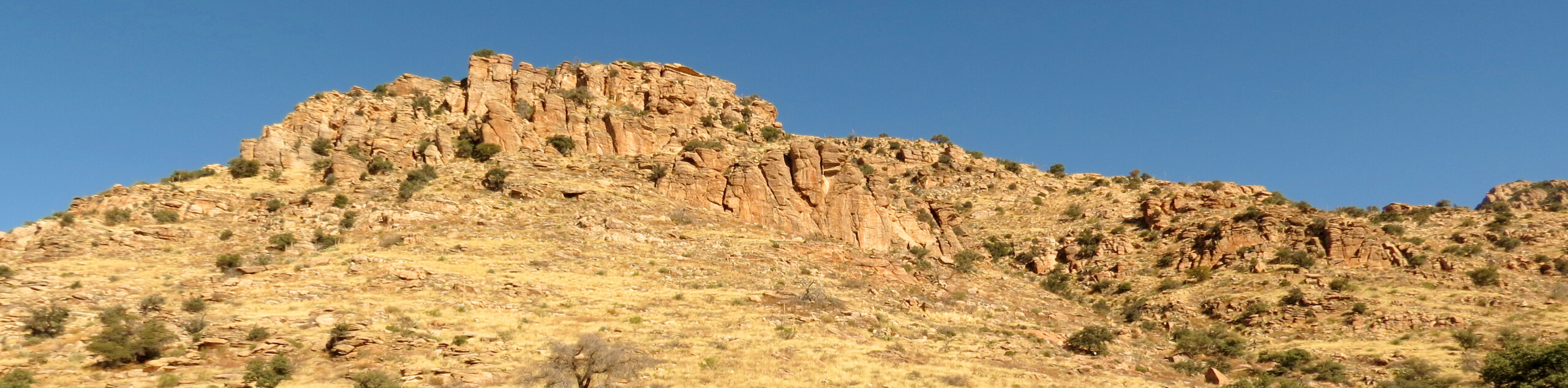
If you’re staying at the Molino Basin Campground, the hike to Molino Basin via Arizona Trail is an awesome hike to a memorable viewpoint that should only take a couple of hours or so. This hike is rated as moderate, and it follows the Arizona Trail to a saddle with a view into the basin and to the mountains beyond. Enjoy small waterfalls and a bit of shade on this hike.
Getting there
The trailhead for Molino Basin via Arizona Trail is in the Molino Basin Campground.

About
| Backcountry Campground | Molino Basin Campground |
| When to do | October-May |
| Pets allowed | Yes - On Leash |
| Family friendly | Yes |
| Route Signage | Average |
| Crowd Levels | Low |
| Route Type | Out and back |
Molino Basin via Arizona Trail
Elevation Graph
Weather
Molino Basin via Arizona Trail Description
Those staying at the Molino Basin Campground can and should make the quick trip out on the Arizona Trail to the Molino Basin, where a viewpoint over the basin provides a wonderful glimpse of Redington and Mica Mountain and the rolling peaks beyond. This route is easily doable in a couple of hours or less and shows off a few cute waterfalls and streams when it’s rained recently.
From the campground, head across the highway. There’s a trail that climbs the hill to your left shortly in, stay right here. A few uneven switchbacks take you up to the saddle. There’s a bit of shade to be found on this hike in certain parts, but most of the route is out in the open, so you’ll be glad if you started your hike early.
Look for wildflowers and streams as you climb to the saddle, where the view opens up. Settle in here to snap some photos and take it all in. The trail continues down into the basin, so you could continue further if you wanted to, but remember that it’ll be a steep climb back up. When you’re ready, turn back and retrace your steps.
Similar hikes to the Molino Basin via Arizona Trail hike

Shantz, Cholla, and Cactus Forest Loop
The Shantz, Cholla, and Cactus Forest Loop is an easy trail in Tucson’s Saguaro National Park East. The star of…

Cactus Forest, Squeeze Pen, and Pink Hill Loop
The Cactus Forest, Squeeze Pen, and Pink Hill Loop is an easy trail in Tucson’s Saguaro National Park East. This…

Hugh Norris, Sendero Esperanza, and Dobbie Wash Loop
The Hugh Norris, Sendero Esperanza, and Dobbie Wash Loop is a bit of a mouthful, but it’s a great hike…
Comments