Rock Wren Trail
View Photos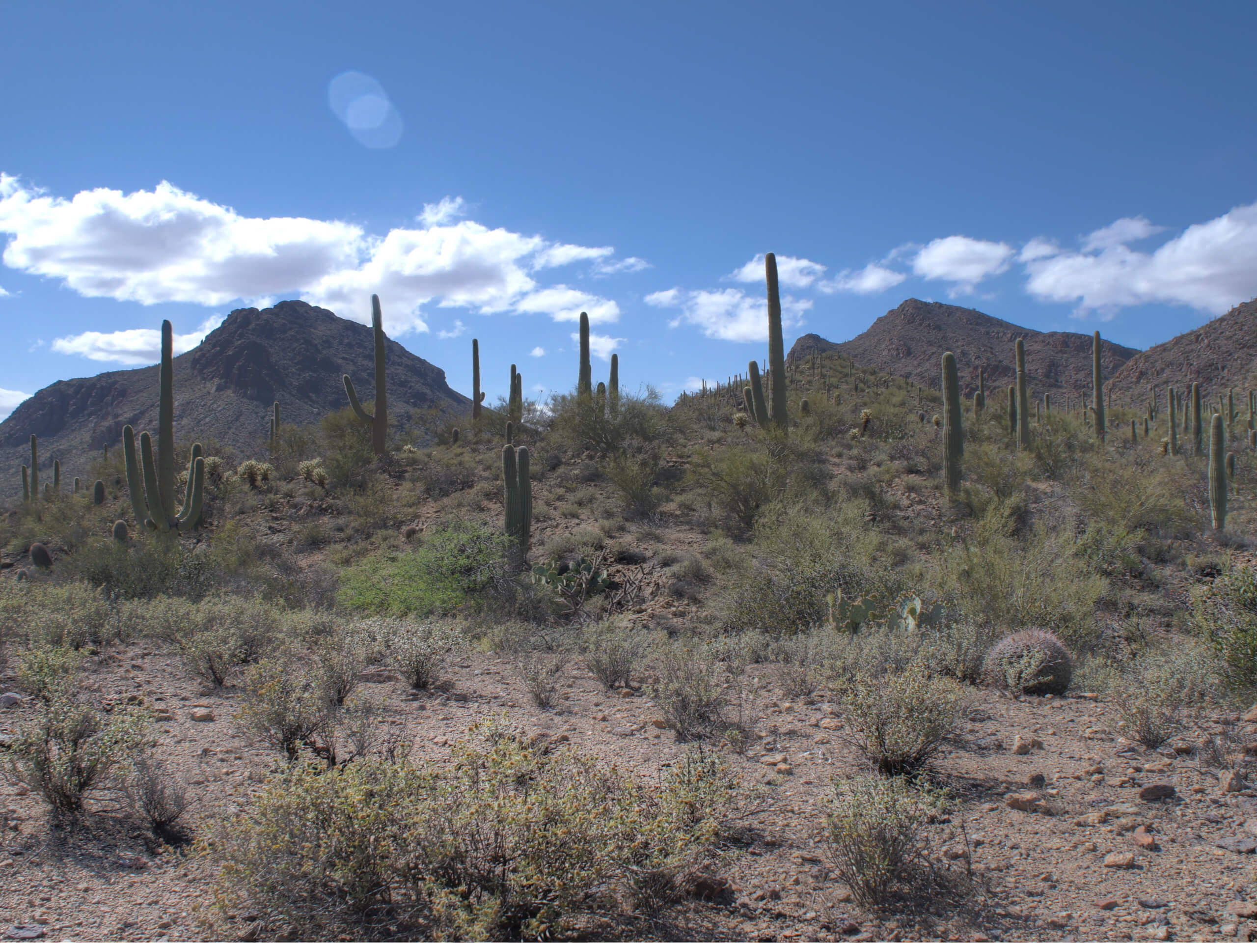
Rock Wren Trail
Difficulty Rating:
The Rock Wren Trail is one of the most popular trails in Tucson Mountain Park, often used as part of a longer loop adventure in the park. This route guide details the 4.2mi out and back trip on this trail alone. This hike is well marked and offers the chance to see some local wildlife, and it’s rated as moderately difficult. The route also connects to a wider range of trails, so you could easily extend to personalize your adventure if you wanted to.
Getting there
The trailhead for the Rock Wren Trail is at the end of Clearwell Road.

About
| Backcountry Campground | No |
| When to do | October-May |
| Pets allowed | No |
| Family friendly | Yes |
| Route Signage | Good |
| Crowd Levels | Moderate |
| Route Type | Loop |
Rock Wren Trail
Elevation Graph
Weather
Rock Wren Trail Description
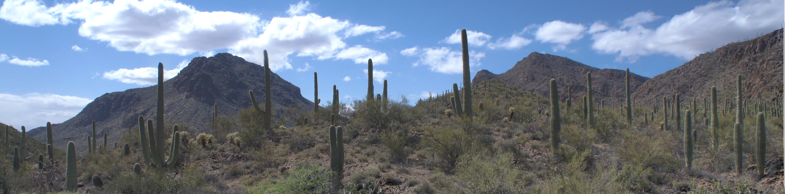
Tucson Mountain Park has plenty of trails to explore, each showing off the desert mountains in their own way. The Rock Wren Trail is known for awesome Sonoran Desert scenery and a moderate challenge. While we offer several guides that use Rock Wren Trail as part of longer loops, this guide details Rock Wren on its own. It allows you to appreciate the plants and animals that call this park home and to get a moderate workout in.
This route is quite rocky, so we recommend sturdy boots. Bring plenty of water and avoid hiking in the heat of the day if you can. Additionally, remember that dogs are not permitted in the park, which is important to adhere to due to coyote sightings on this trail.
From the trailhead at the end of the street, you’ll take Rock Wren Trail down into the park, half-looping around a hill, crossing a wash, and then making your way through the hills as you dip your way into and out of the park boundary. When you reach a 5-way junction, take a sharp right. The trail terminates along a wash, where you’ll turn around and retrace your steps back to the trailhead.
Similar hikes to the Rock Wren Trail hike

Shantz, Cholla, and Cactus Forest Loop
The Shantz, Cholla, and Cactus Forest Loop is an easy trail in Tucson’s Saguaro National Park East. The star of…

Cactus Forest, Squeeze Pen, and Pink Hill Loop
The Cactus Forest, Squeeze Pen, and Pink Hill Loop is an easy trail in Tucson’s Saguaro National Park East. This…

Hugh Norris, Sendero Esperanza, and Dobbie Wash Loop
The Hugh Norris, Sendero Esperanza, and Dobbie Wash Loop is a bit of a mouthful, but it’s a great hike…
Comments