Linda Vista Loop Trail
View Photos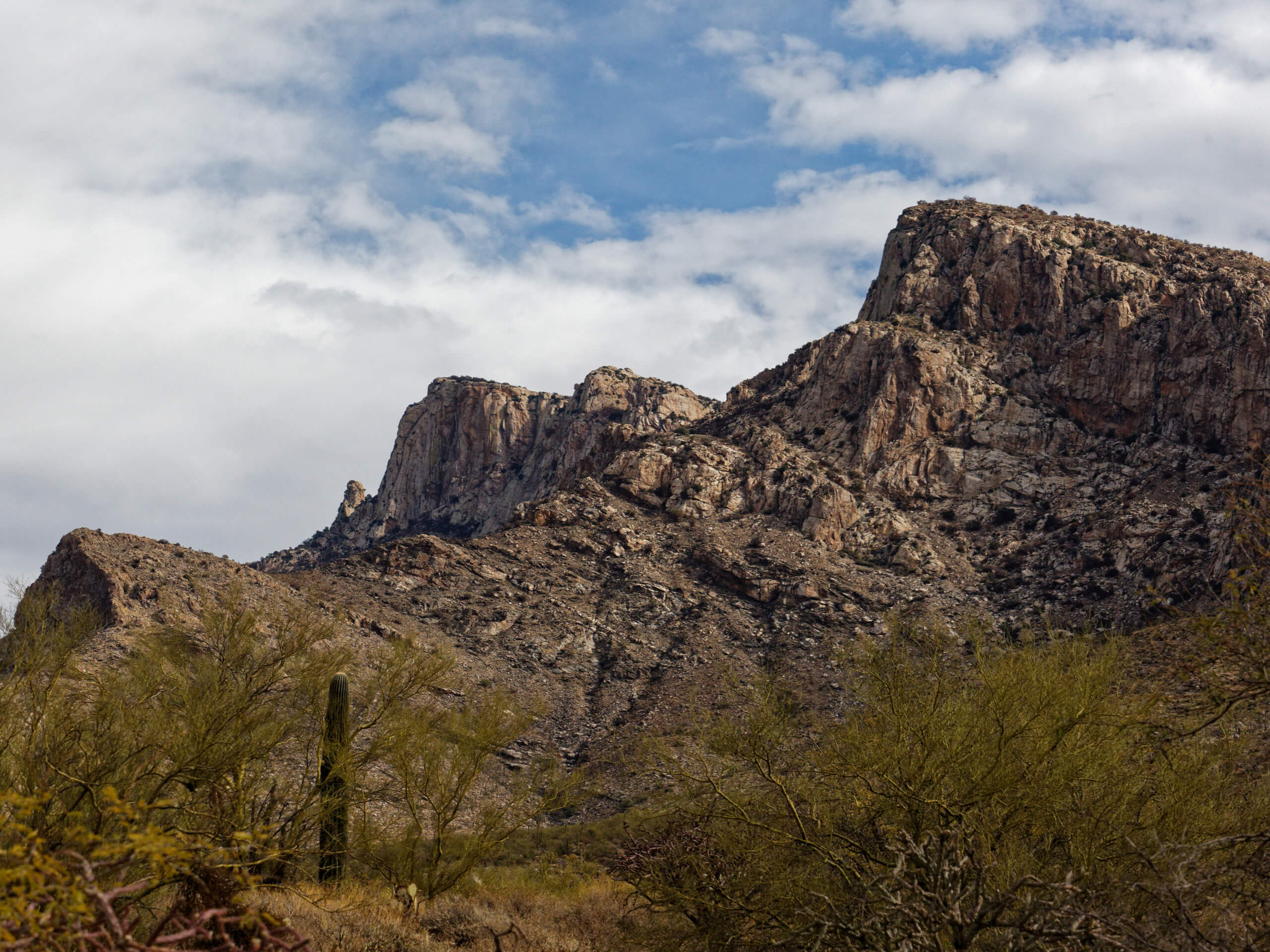
Linda Vista Loop Trail
Difficulty Rating:
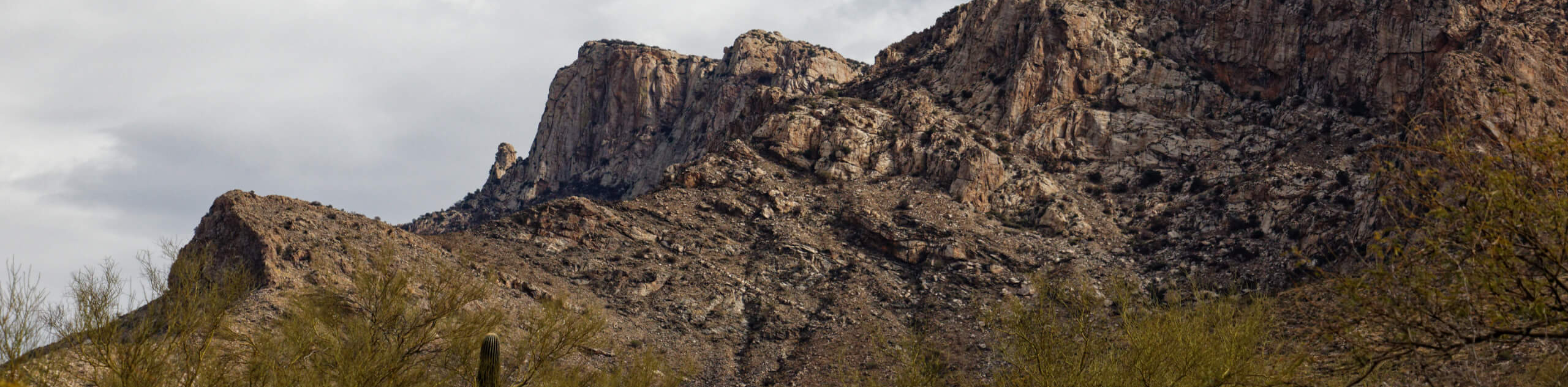
The Linda Vista Loop Trail is a 2.2mi heavily trafficked easy trail in the Pusch Ridge Wilderness. This route is very quick and simple to reach from Oro Valley and northeastern Tucson and it provides an awesome break in nature without demanding too much effort. We consider this route easy enough for beginners and hikers of most ages. The terrain is varied and interesting with a few great photo ops along the way. The views of the city and of the Tortolitas, in particular, are quite impressive.
As with all hikes in this area, we recommend bringing lots of water, wearing sun protection, and hiking before the heat of the day hits.
Getting there
The trailhead for Linda Vista Loop Trail is off E Linda Vista Blvd.

About
| Backcountry Campground | No |
| When to do | October-May |
| Pets allowed | No |
| Family friendly | Yes |
| Route Signage | Average |
| Crowd Levels | High |
| Route Type | Loop |
Linda Vista Loop Trail
Elevation Graph
Weather
Linda Vista Loop Trail Description
The Linda Vista Loop Trail is a quick hike with great views, giving you solid bang for your buck. This route is easily accessible from Oro Valley and northeastern Tucson and it takes most hikers less than two hours to complete. The views of the city and of the nearby mountains and cliffs in the Pusch Ridge Wilderness are impressive. The variety of vegetation on this trail is excellent, with lots of local plant and cactus species to appreciate.
As with all hikes near Tucson, this route can be very hot. We recommend bringing lots of water and wearing sun protection. Note that dogs are not permitted on this trail whether leashed or not.
This route is a loop, so you could do it either way, but we’ll describe it clockwise as this is the approach most hikers take. The parking area is off E Linda Vista Road. Starting from the trailhead, you’ll hike southeast, keeping left.
The route might look a bit intimidating from the start of the hike, but it’s not as bad as it seems. Stay left at the first junction to continue east,
The climbing soon begins, although it’s fairly tame. A few switchbacks take you up along the base of the hill through a shallow canyon. The route levels out a bit and then approaches a 4-way junction. Stop here to take in the view of the Tortolitas and the city. A gorgeous saguaro forest is visible below you.
There’s a route that heads steeply down through the canyon, which you certainly could take for a quicker descent, but you’ll want to go straight through the junction to gently descend a ridge.
After a couple of switchbacks, arrive at a junction. Go right here and hike north, staying left to pass by the school. This route takes you back to the trailhead.
Note that most of the junctions in this area will take you on trails that eventually connect back to the Linda Vista Loop, so don’t worry too much if you’ve taken a wrong turn.
Note: You can use the Linda Vista Loop to climb Pusch Peak. At the 4-way junction, take the route that heads straight uphill.
Hiking Route Highlights
Pusch Ridge Wilderness
The Pusch Ridge Wilderness is a 56,430 acre designated wilderness area in the Coronado National Forest near Tucson. This section of the Santa Catalina Mountains provides hiking trails and impressive desert biodiversity. Adventurers can spot many saguaros, mountain mahogany, juniper, and pinyon pine. Established in 1978, the Pusch Ridge Wilderness ranges in elevation from 2800ft to 9100ft.
Frequently Asked Questions
Is Linda Vista Loop Trail kid-friendly?
This is a family-friendly trail and should be enjoyable for kids of most ages.
Are dogs allowed on Linda Vista Loop Trail?
No, dogs are not allowed on this trail.
Insider Hints
This route is subject to closure to protect bighorn sheep during lambing season. Closures usually run from January 1 through April 30.
Similar hikes to the Linda Vista Loop Trail hike

Shantz, Cholla, and Cactus Forest Loop
The Shantz, Cholla, and Cactus Forest Loop is an easy trail in Tucson’s Saguaro National Park East. The star of…

Cactus Forest, Squeeze Pen, and Pink Hill Loop
The Cactus Forest, Squeeze Pen, and Pink Hill Loop is an easy trail in Tucson’s Saguaro National Park East. This…

Hugh Norris, Sendero Esperanza, and Dobbie Wash Loop
The Hugh Norris, Sendero Esperanza, and Dobbie Wash Loop is a bit of a mouthful, but it’s a great hike…
Comments