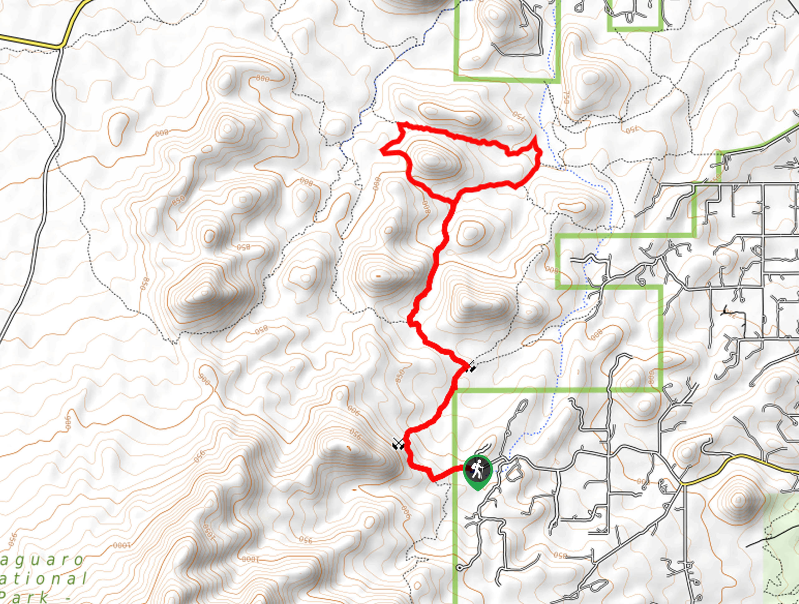
Buster Mountain via Birding Trail
View Photos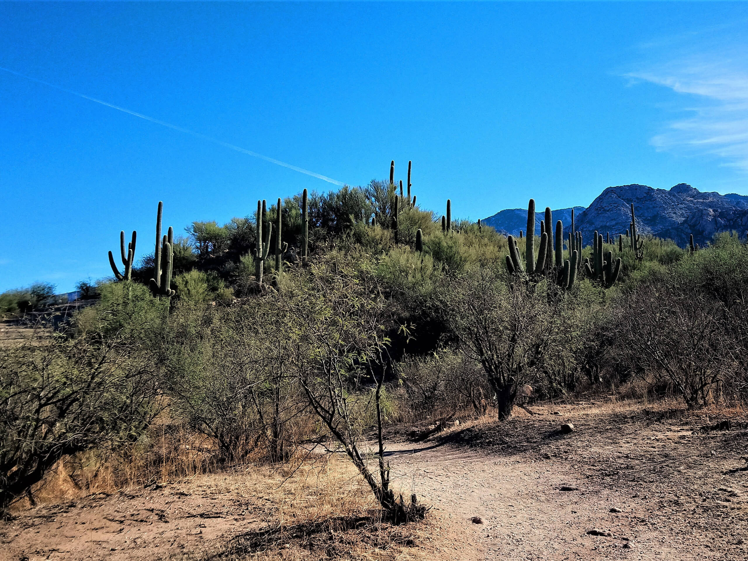
Buster Mountain via Birding Trail
Difficulty Rating:
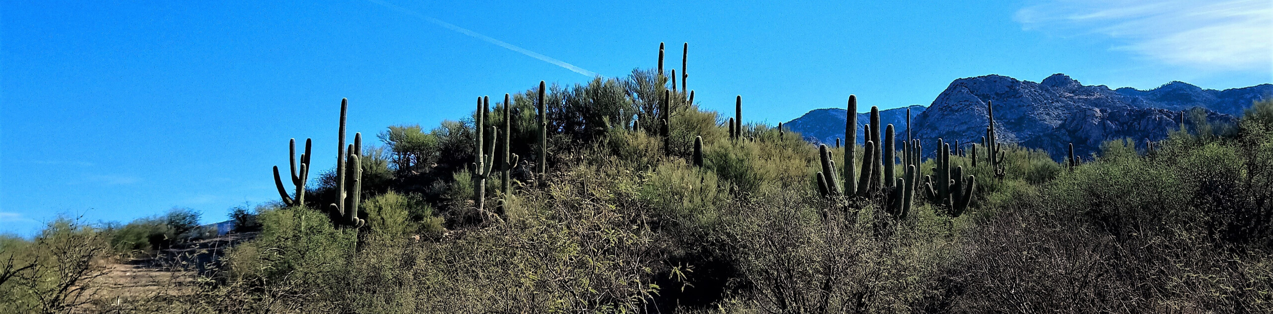
Strong hikers looking for their next big adventure in Tucson can give Buster Mountain via Birding Trail a shot. This difficult hike requires a hefty bit of route-finding and there are a couple of interesting scrambling problems along the way. It’ll tire you out, but the view from the top is a treat with both the Pusch Ridge Wilderness and Catalina State Park in clear view. Expect light traffic and come prepared for a strenuous hike.
Getting there
The trailhead for Buster Mountain via Birding Trail is off Catalina State Park Road.

About
| Backcountry Campground | No |
| When to do | October-May |
| Pets allowed | No |
| Family friendly | No |
| Route Signage | Poor |
| Crowd Levels | Low |
| Route Type | Out and back |
Buster Mountain via Birding Trail
Elevation Graph
Weather
Buster Mountain via Birding Trail Description
Buster Mountain via Birding Trail is a tough nut to crack, with plentiful route-finding challenges and some sections of interesting scrambling to tackle. This hike isn’t too long, but it is tough and rugged, so make sure you’re prepared with a downloaded GPS track, good boots, poles, and lots of water and sun protection.
This route begins in Catalina State Park, which charges a modest day-use fee. You’ll cross Sutherland Wash from the parking area and take Birding Trail across the Montrose Wash to the trail split. We recommend going counterclockwise as most users report preferring this approach.
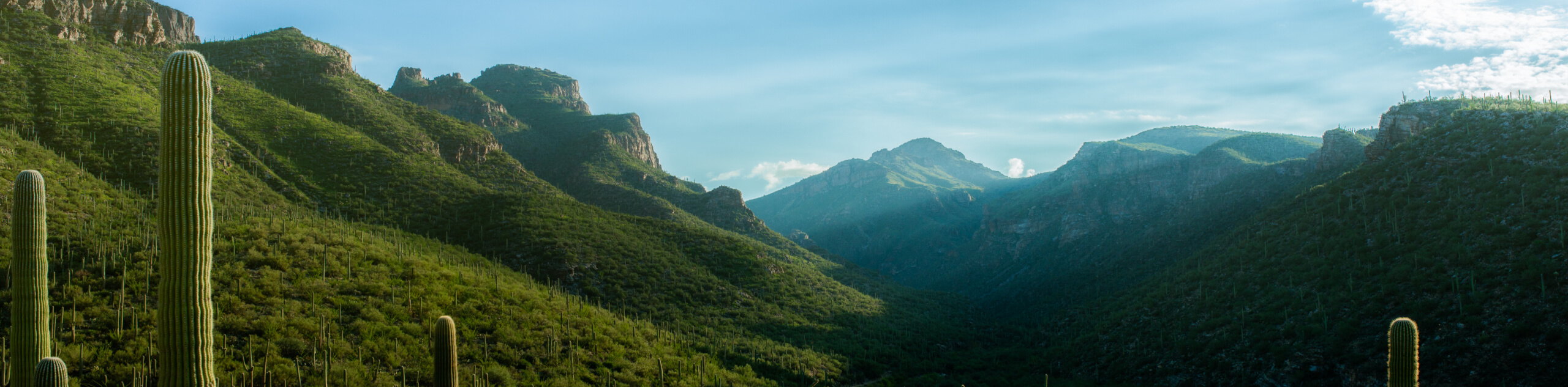
Stay right at the split and then left to begin your ascent. Watch for cairns and refer to your GPS if you feel like you’re losing the trail. As you approach the upper part of the loop, you’ll walk a prominent ridge. The ridge steepens to a short cliff about 2 miles in, but look for the dihedral, which you’ll need to scramble. At the top, marvel at your birds-eye view of the surrounding mountains.
On the way down, there are fewer cairns and it becomes easier to lose the trail where washouts have occurred. Keep an eye on the GPS.
Similar hikes to the Buster Mountain via Birding Trail hike

Hugh Norris, Sendero Esperanza, and Dobbie Wash Loop
The Hugh Norris, Sendero Esperanza, and Dobbie Wash Loop is a bit of a mouthful, but it’s a great hike…
Bear Canyon Trail
Bear Canyon Trail is one of the main routes in Tucson’s Sabino Canyon Recreation Area. The entire trail is almost…
Cactus Canyon and Gila Monster Loop
The Cactus Canyon and Gila Monster Loop is a 6.0mi hike in Tucson’s Saguaro National Park that puts…
Comments