Signal Hill Trail
View Photos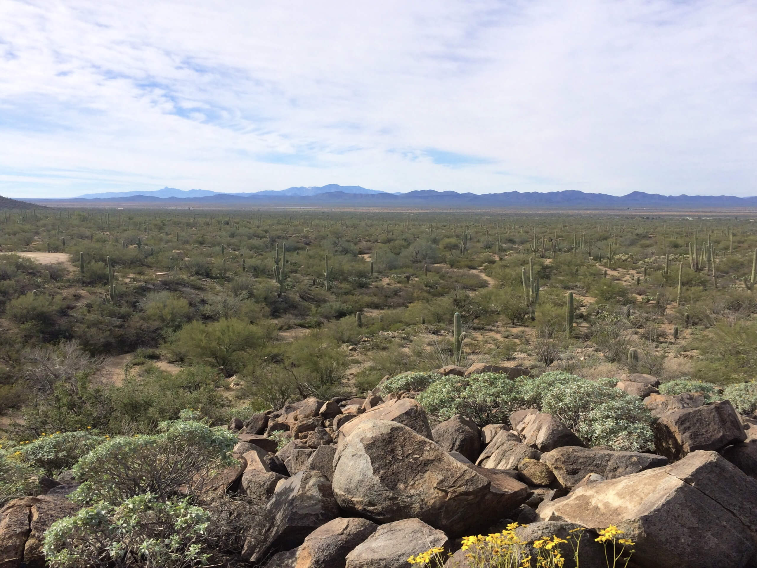
Signal Hill Trail
Difficulty Rating:
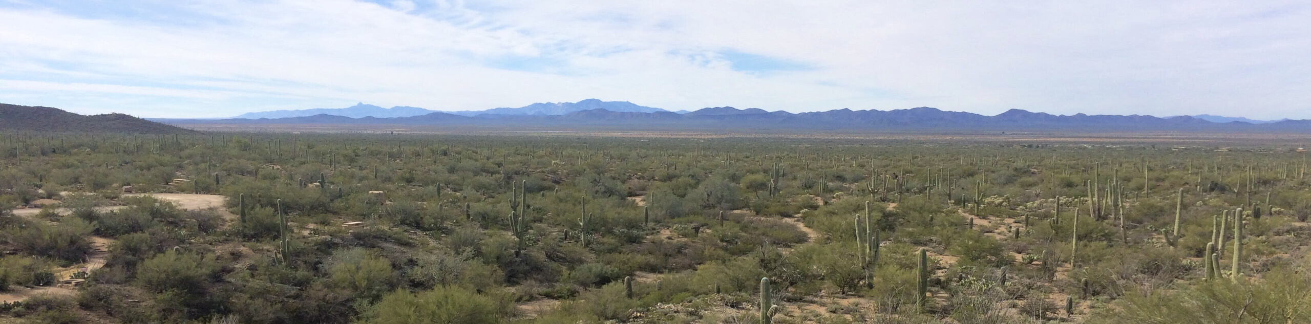
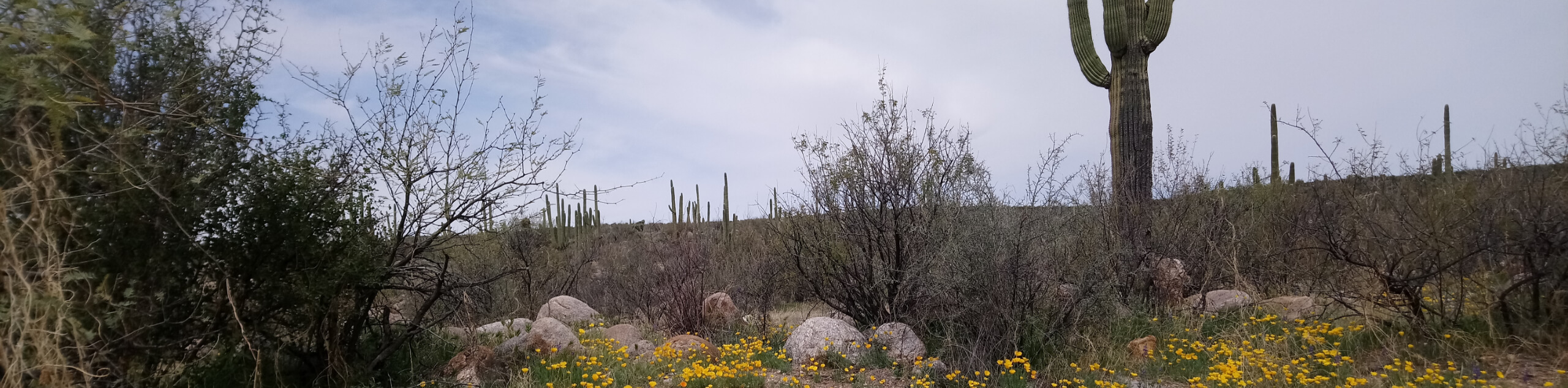
If you’re spending some time out with family, a picnic and the short hike on Signal Hill Trail in the Saguaro Wilderness of Saguaro National Park West is a perfect low-key adventure. This trail is only really a few steps long, but it leads you to a scenic viewpoint and allows you to appreciate petroglyphs left in the area. We recommend pairing this with a picnic at the Signal Hill Picnic Area to make an afternoon out of it.
Getting there
The trailhead for Signal Hill Trail is at the Signal Hill Picnic Area at the end of Signal Hill Road.

About
| Backcountry Campground | No |
| When to do | October-May |
| Pets allowed | No |
| Family friendly | Yes |
| Route Signage | Average |
| Crowd Levels | High |
| Route Type | Out and back |
Signal Hill Trail
Elevation Graph
Weather
Signal Hill Trail Description
Signal Hill Trail is short and sweet, requiring only a third of a mile of hiking to appreciate a viewpoint of Saguaro National Park West and petroglyphs preserved in the park. Since this hike begins and ends in the Signal Hill Picnic Area, we recommend bringing a picnic to enjoy before or after your hike. This is especially nice to do since you’ll pay a small entry fee to use the park.
This route is short enough for all ages and skill levels to enjoy. You’ll still want water on hand and you may want to consider hiking outside of the heat of the day. Even though this is a short trail, this area can get unforgivingly hot.
From the picnic area, take the trail as it passes the picnic tables heading north. Stay right at all junctions. Before you know it, you’ll reach the end of the trail, where you can read about the area’s history and appreciate the view. From here, turn around and head back to the trailhead, staying left at all junctions.
Similar hikes to the Signal Hill Trail hike

Shantz, Cholla, and Cactus Forest Loop
The Shantz, Cholla, and Cactus Forest Loop is an easy trail in Tucson’s Saguaro National Park East. The star of…

Cactus Forest, Squeeze Pen, and Pink Hill Loop
The Cactus Forest, Squeeze Pen, and Pink Hill Loop is an easy trail in Tucson’s Saguaro National Park East. This…
Dripping Spring via Sutherland Trail
Starting off in Tucson’s lovely Catalina State Park, the hike to Dripping Springs on Sutherland Trail is a charming easy…
Comments