Honeybee Canyon North Trail
View Photos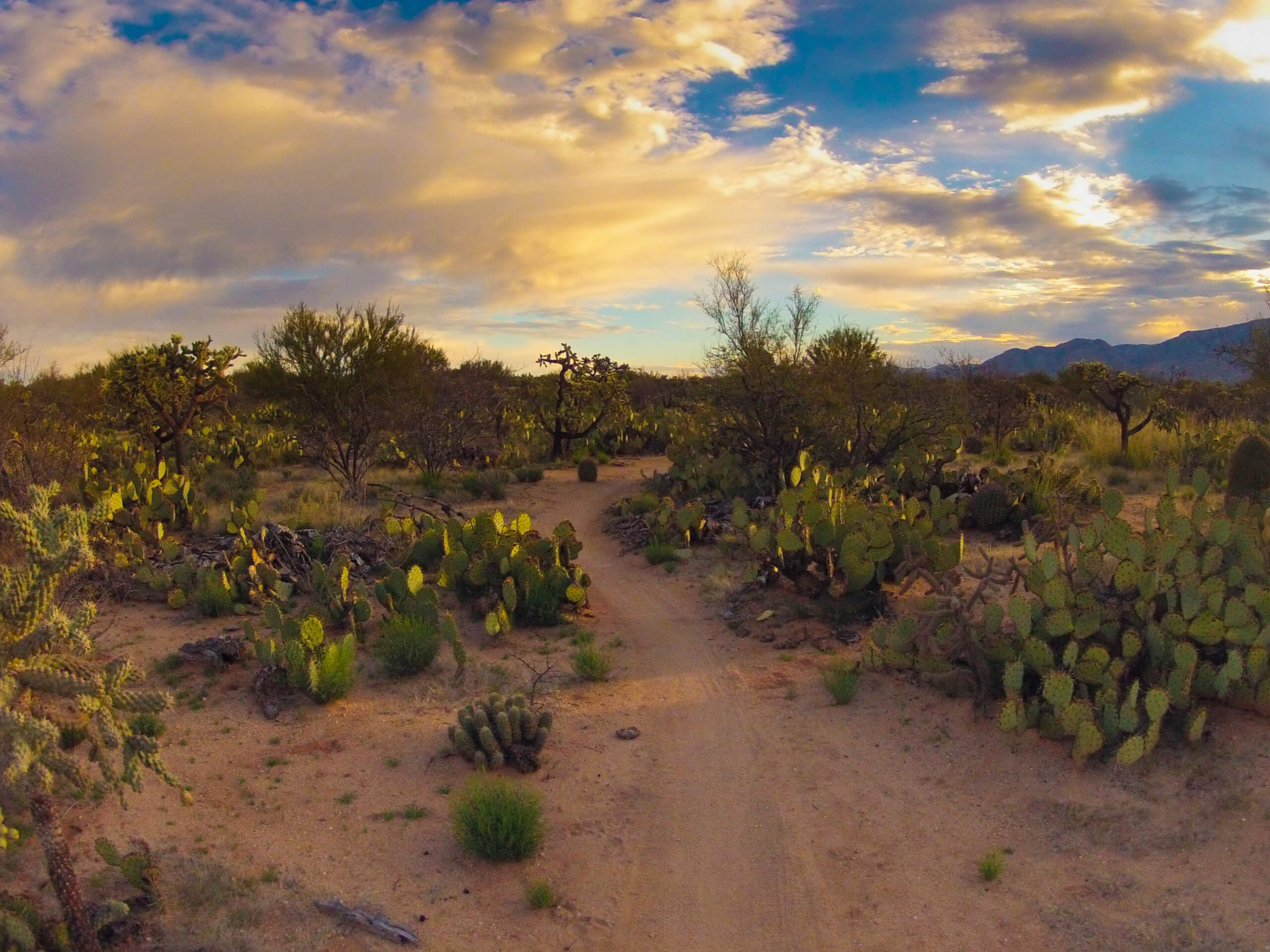
Honeybee Canyon North Trail
Difficulty Rating:
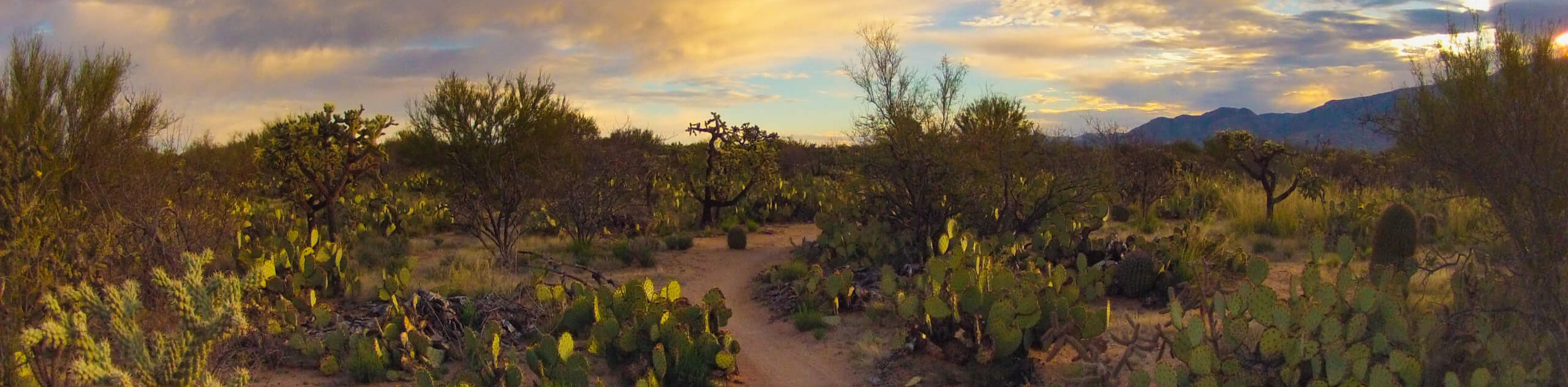
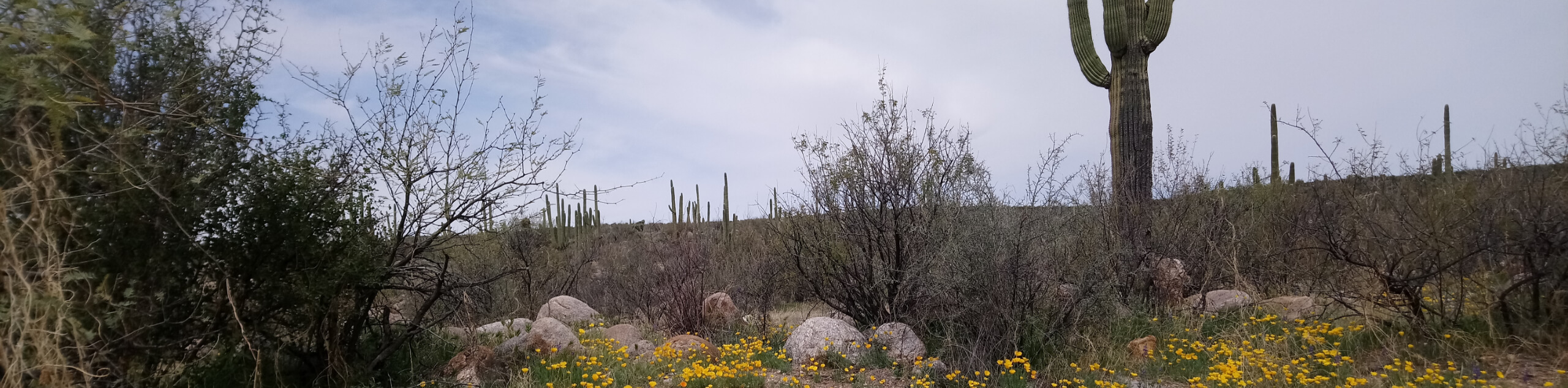
The Honeybee Canyon North Trail is a great little hike that we recommend for a few reasons. This route is less than 2.0mi long and mostly flat, making it suitable for families and hikers of all skill levels. The route is partially paved but the footing remains stable throughout. It’s a perfect sunset hike and the saguaros and mountains in view make for a memorable scene. Most of all, we love that you can check out well-preserved petroglyphs on a rock face near the end of this trail.
Getting there
The trailhead for the Honeybee Canyon North Trail is off N Rancho Vistoso Boulevard.

About
| Backcountry Campground | No |
| When to do | October-May |
| Pets allowed | Yes - On Leash |
| Family friendly | Yes |
| Route Signage | Average |
| Crowd Levels | Moderate |
| Route Type | Out and back |
Honeybee Canyon North Trail
Elevation Graph
Weather
Honeybee Canyon North Trail Description
The Honeybee Canyon North Trail is a fun hike for all ages and skill levels, especially at sunset. The desert scenery on this route is excellent and you’ll find a wall of well-kept petroglyphs along your trail. It’s a very interesting and rewarding hike that’s also very accessible. It’s ideal for a family outing or a relaxed evening walk.
There’s no shade on this route, so as with all hikes in the Tucson area, we recommend bringing plenty of water and wearing sun protection. Dogs are permitted on this trail but must be kept on leash.
From the trailhead, head under the road on the bridge on Petroglyphs Trail. You’ll follow Sausalito Creek (likely dry) the entire way, making navigation a breeze. The scenery opens up as you walk, with mountains and desert flora defining your view. Weave your way along through the wash until it dead-ends at a 7’ cement wall.
Similar hikes to the Honeybee Canyon North Trail hike

Shantz, Cholla, and Cactus Forest Loop
The Shantz, Cholla, and Cactus Forest Loop is an easy trail in Tucson’s Saguaro National Park East. The star of…

Cactus Forest, Squeeze Pen, and Pink Hill Loop
The Cactus Forest, Squeeze Pen, and Pink Hill Loop is an easy trail in Tucson’s Saguaro National Park East. This…
Dripping Spring via Sutherland Trail
Starting off in Tucson’s lovely Catalina State Park, the hike to Dripping Springs on Sutherland Trail is a charming easy…
Comments