Honeybee Canyon South Trail
View Photos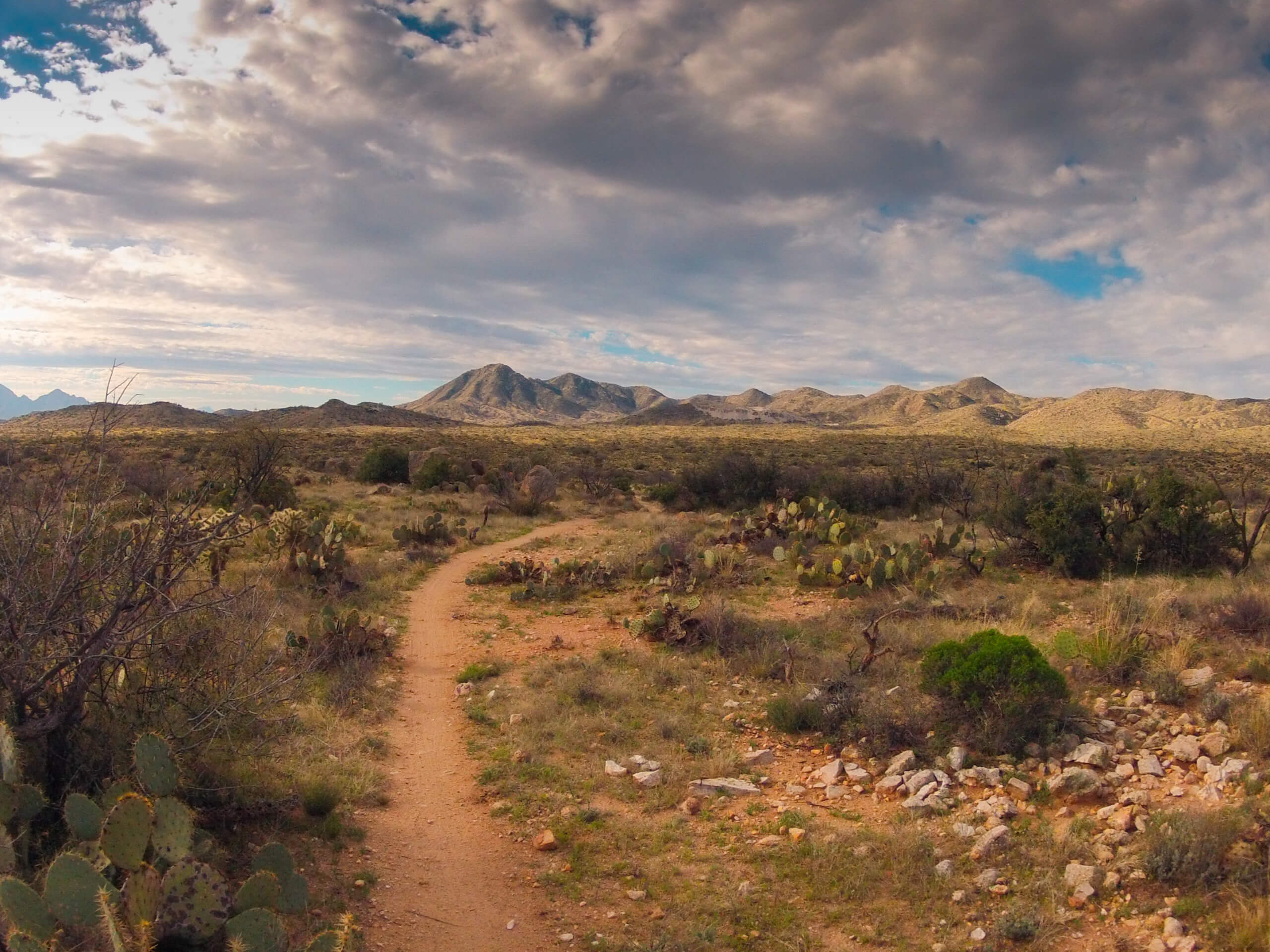
Honeybee Canyon South Trail
Difficulty Rating:
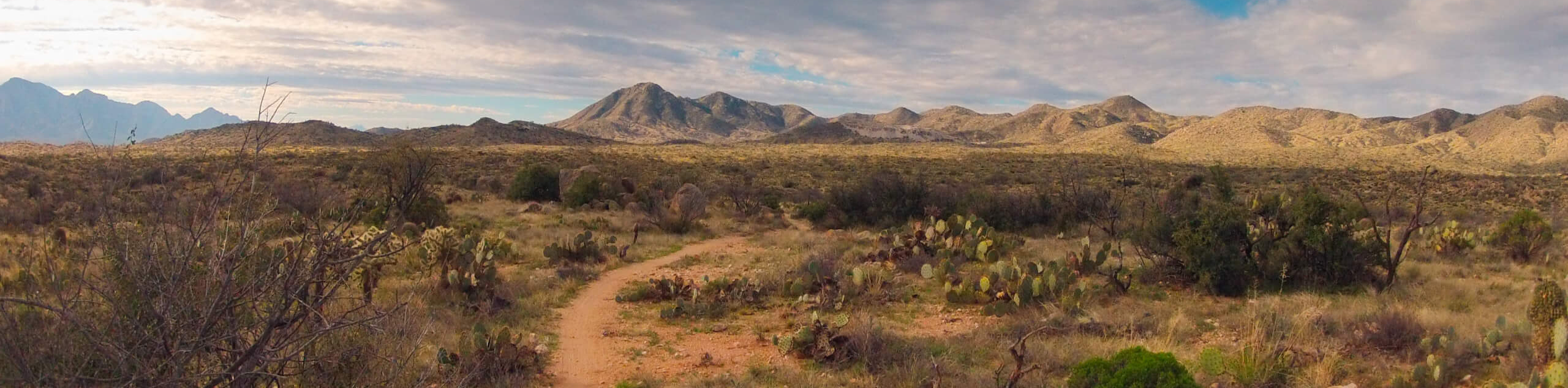
The Honeybee Canyon South Trail is a relaxed loop trail in Tucson that’s known for its pleasant desert views and easygoing elevation gain. It’s also known for being easy to lose, so definitely come armed with a downloaded GPS track! This route does not reach the petroglyphs that the Honeybee Canyon North Trail just across the road does, but it does provide its own appeal. This route is suitable for all skill levels and dogs are permitted as long as they’re kept on leash.
Getting there
The trailhead for the Honeybee Canyon South Trail is off N Rancho Vistoso Boulevard.

About
| Backcountry Campground | No |
| When to do | October-May |
| Pets allowed | Yes - On Leash |
| Family friendly | Yes |
| Route Signage | Poor |
| Crowd Levels | Low |
| Route Type | Loop |
Honeybee Canyon South Trail
Elevation Graph
Weather
Honeybee Canyon South Trail Description
The Honeybee Canyon South Trail is a fun hike for all ages and skill levels. The desert scenery on this route is excellent and it’s a generally easy trail. It’s ideal for a family outing or a relaxed nature walk. Note that this route doesn’t reach the petroglyphs, but if you want to see them, you can take the Honeybee Canyon North Trail on the other side of the road.
There’s no shade on this route, so as with all hikes in the Tucson area, we recommend bringing plenty of water and wearing sun protection. Dogs are permitted on this trail but must be kept on leash. This trail can be very easy to lose, so bring a downloaded GPS track to help you find your way.
From the trailhead, go left past the restrooms and picnic area. You’ll mostly be hiking through dry washes. Turn right off the Sausalito Wash Trail and then right again to loop back to the trailhead by hiking back in the direction of the road.
Similar hikes to the Honeybee Canyon South Trail hike

Shantz, Cholla, and Cactus Forest Loop
The Shantz, Cholla, and Cactus Forest Loop is an easy trail in Tucson’s Saguaro National Park East. The star of…

Cactus Forest, Squeeze Pen, and Pink Hill Loop
The Cactus Forest, Squeeze Pen, and Pink Hill Loop is an easy trail in Tucson’s Saguaro National Park East. This…
Dripping Spring via Sutherland Trail
Starting off in Tucson’s lovely Catalina State Park, the hike to Dripping Springs on Sutherland Trail is a charming easy…
Comments