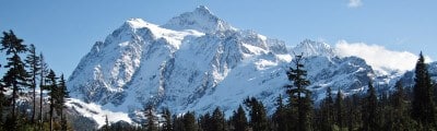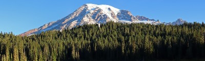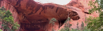
hikes in Death Valley
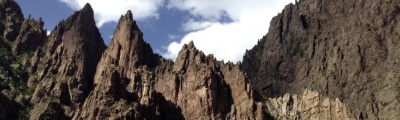
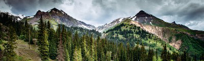
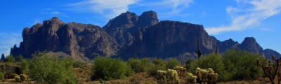
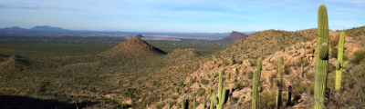
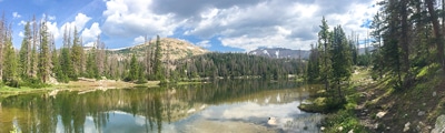
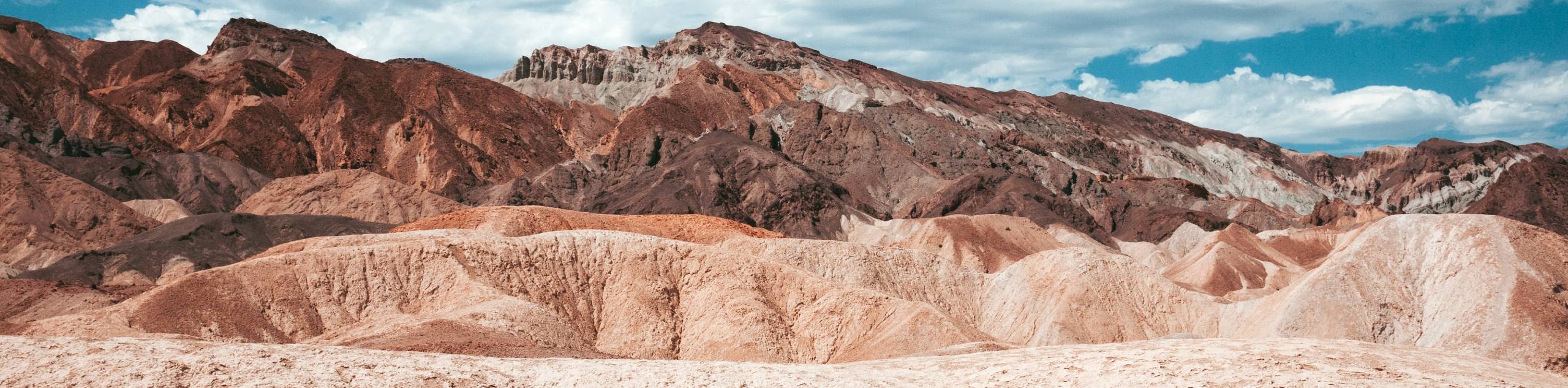
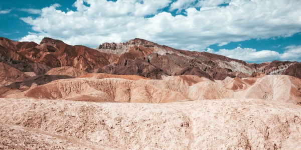
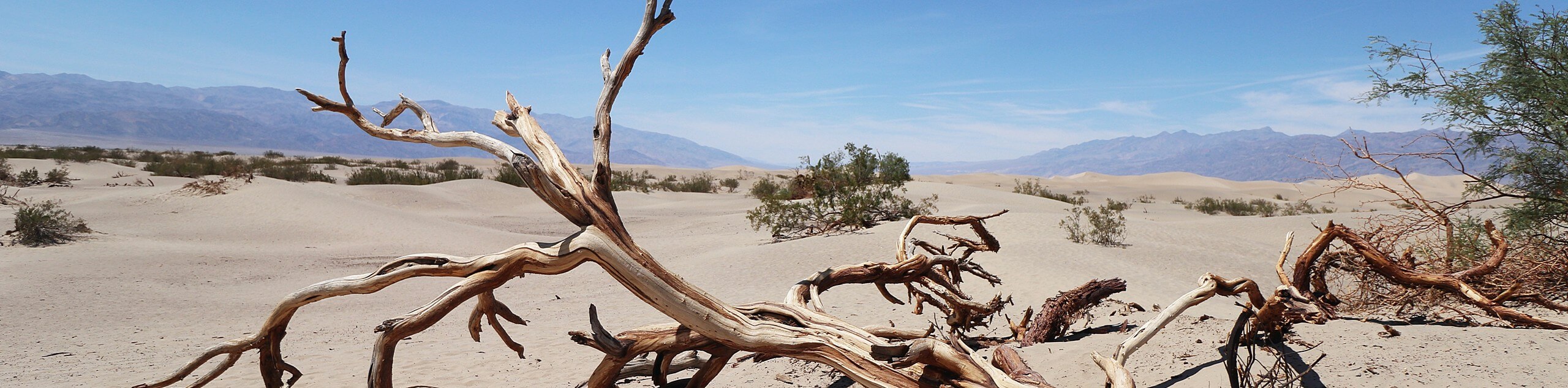
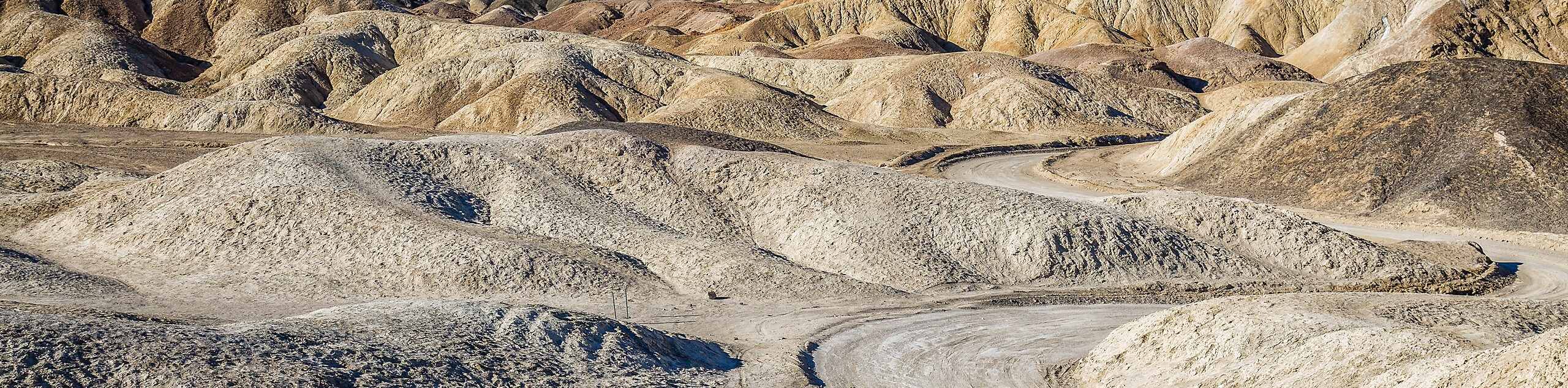
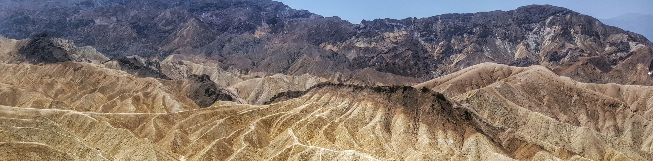
Death Valley hikes are among the best in the United States! At 3,422,024 acres, the wilderness area is the largest American National Park outside of Alaska and possesses an abundance of hikes for various ability levels. Traversing mystic sand dunes, deep canyons, vast valleys, and imposing mountains, the diversity in Death Valley National Park's terrain is incredible. Whether you are a beginner or a seasoned pro, Death Valley National Park's variety in topography ensures that a route exists for you to fall in love with!
As the options for hikes within Death Valley National Park are so numerous, we have put together the following list of some of our favorite routes. Just remember, this is but a taste of all that this famous American wilderness area has to offer!
The 10 Greatest Hikes in Death Valley National Park
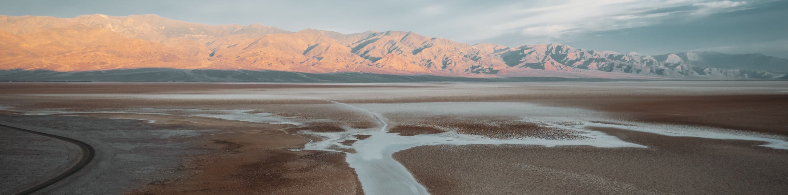
- Badwater Basin Salt Flats Trail - A short, flat and family-friendly route within Death Valley National Park, the Badwater Basin Salt Flats Trail takes you onto picturesque salt flats that are humbling in their vastness.
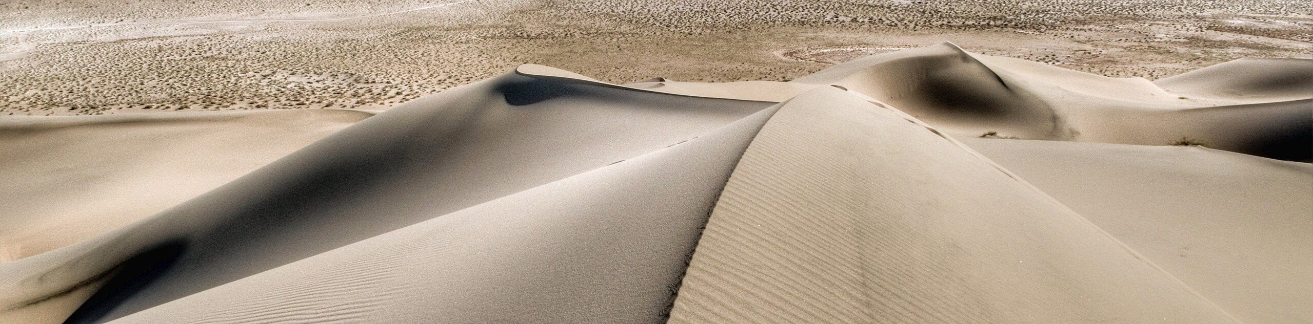
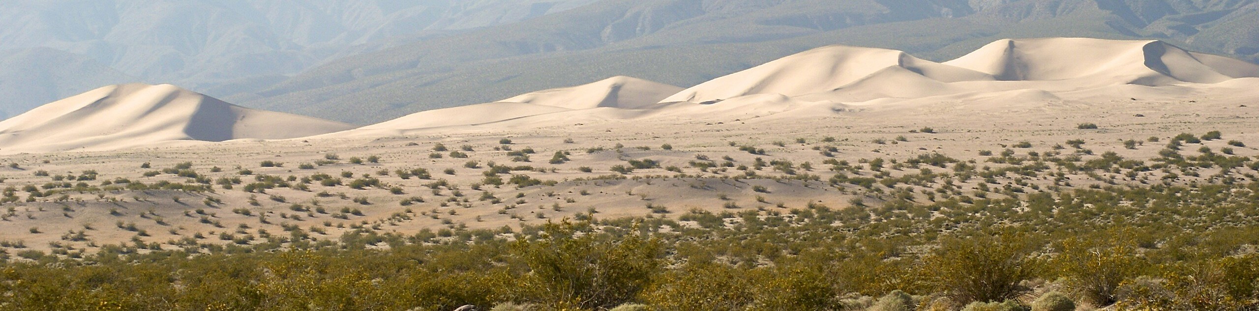
- Mesquite Flat Sand Dunes Trail - Leading you through rolling sand dunes, the Mesquite Flat Sand Dunes Trail is a family-oriented route that is both fun and scenic.
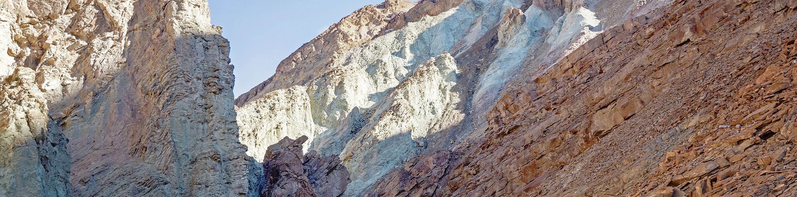
- Ubehebe Crater Trail - Traversing the edge of a large and visually striking volcanic crater, the Ubehebe Crater Trail is stunning, and the Ubehebe Crater itself is perhaps the most incredible geological formation within Death Valley National Park - and that's saying a lot!
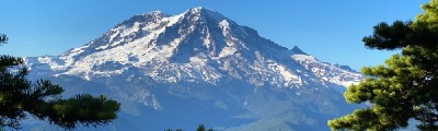
- Telescope Peak Trail - The Telescope Peak Trail summits the largest mountain in the extensive wilderness area - this is a longer, more challenging route than many found within Death Valley National Park.
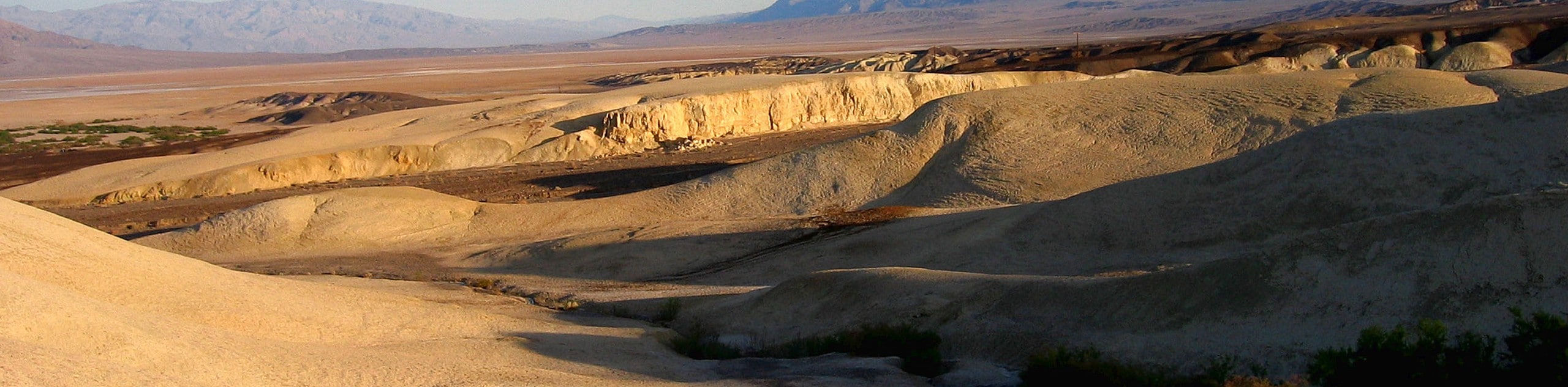
- Harmony Box Works - Appropriate for all skill levels and families with young children, the Harmony Box Works route takes you through an abandoned facility once used to mine borax. Educational plaques can be found throughout the walk, informing you of the history of resource extraction within the region
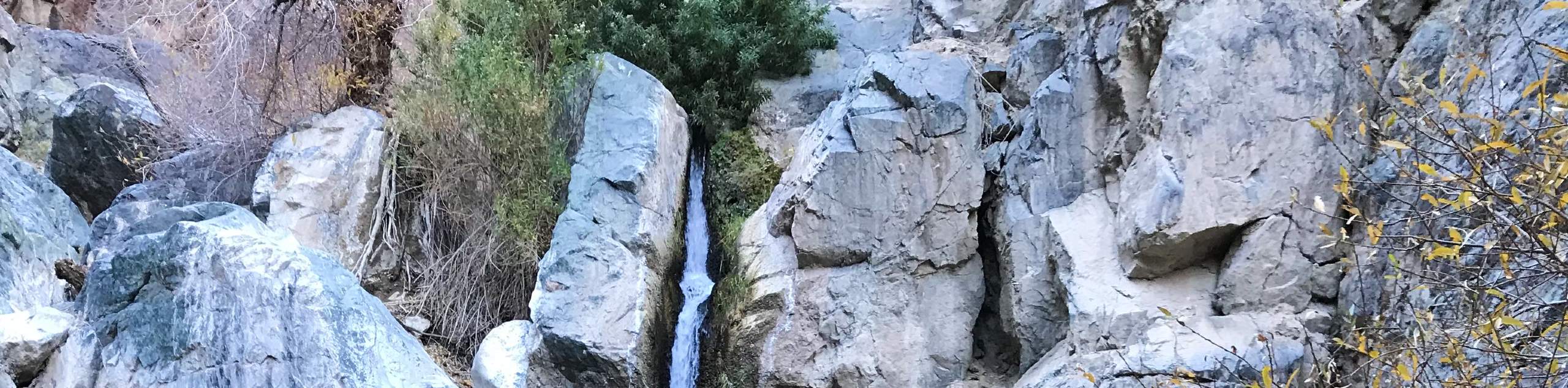
- Darwin Falls Trail via Old Toll Road - A unique trail compared to most routes found within Death Valley National Park, the Darwin Falls Trail via Old Toll Road route ends at a charming oasis surrounded by desert greenery.
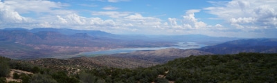
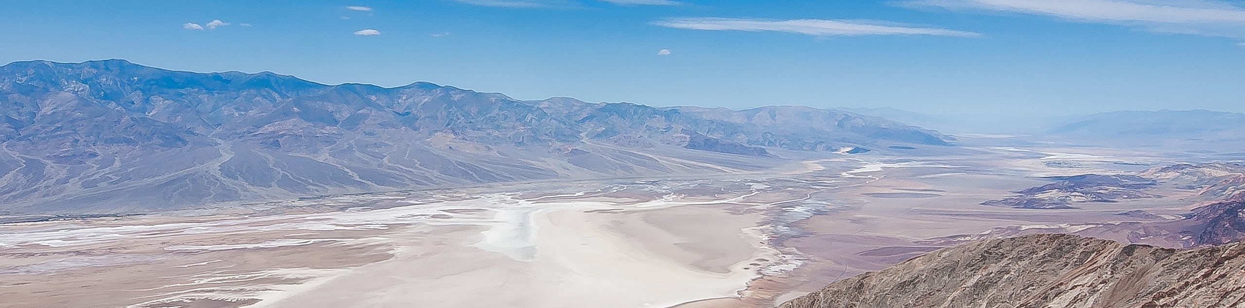
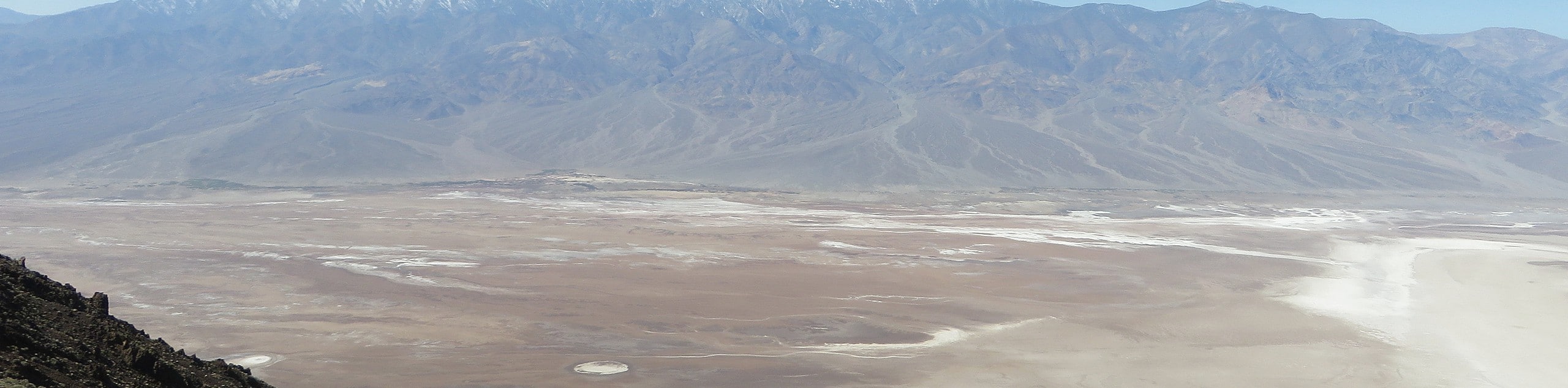
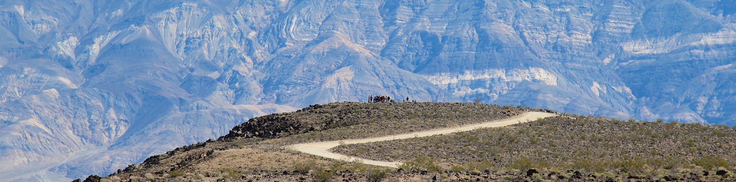
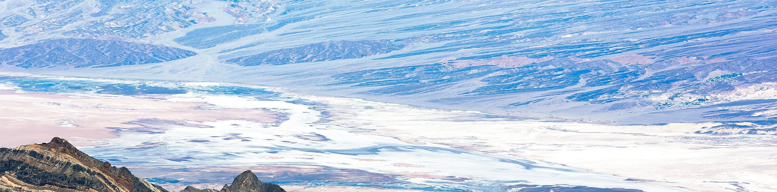
- Dante’s View Trail - This short, family-oriented trail leads you to a vista that many consider the best in Death Valley National Park.Here, you can take in beautiful panoramic views of the surrounding landscape.
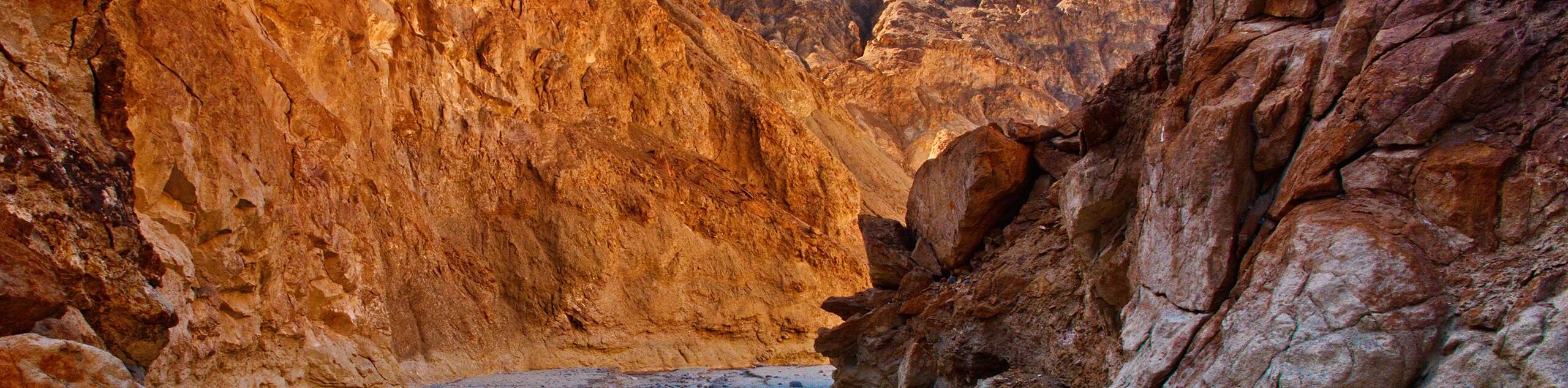
- Desolation Canyon Trail - Traversing a deep and imposing canyon, the Desolation Canyon Trail is a moderately difficult hike ideal for families with older children and beginner hikers seeking more of a challenge.
- Salt Creek Interpretive Trail - Being both wheelchair and stroller accessible, the Salt Creek Interpretive Trail is perhaps the most accessible within Death Valley National Park. This short route is entirely on a boardwalk that travels alongside a quaint creekbed.
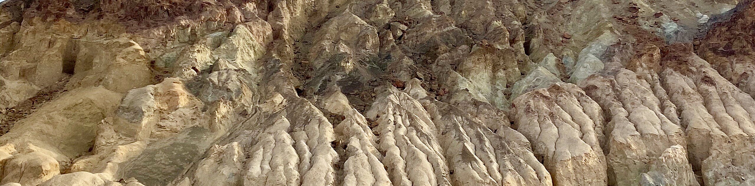
- Golden Canyon Trail to Red Cathedral - Taking you through deep canyons and picturesque hillsides, the Golden Canyon Trail to Red Cathedral route is moderately difficult within Death Valley National Park. However, the hike ends at the stunning geological formation known as Red Cathedral.
When Is The Best Time To Hike In Death Valley National Park?
As Death Valley National Park is within the arid environment of the Mojave Desert, it can become unbearably hot throughout the summer months. Therefore, we recommended hiking in Death Valley National Park from October to early May to avoid the sweltering heat and the burn of the relentless desert sun. Temperatures at this time of year are cooler and more manageable.
Other Outdoor Activities In Death Valley National Park
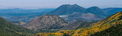
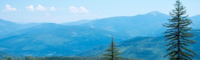
Death Valley National Park has no shortage of outdoor activities to enjoy throughout its massive area. Along with its extensive hiking network, the park boasts nearly 1,000 miles of paved and dirt roads for scenic and off-road driving. The region’s unique geology also made it popular with rock climbers in recent years, as the topography lends itself well to the activity. The same topography that entices rock climbers brings cyclists to the Park, who come to road and mountain bike. In addition to the many daytime activities that can be enjoyed, Death Valley National Park is also a renowned stargazing location, as the Park's remoteness ensures little to no light pollution.
Death Valley Adventure Tours
Depending on what you want to do, consider a guided tour or one planned by a professional! If interested, you can take a look at adventure tours in Death Valley.
Frequently Asked Questions About Death Valley National Park
Is Death Valley National Park safe?
While Death Valley is safe for visitation, you must be prepared for the conditions. Do not deviate from paved roads while driving, and ensure that you bring lots of water and sun protection with you.
Do Humans live in Death Valley?
Just over 300 people are full-time residents of Death Valley!
Does Death Valley have an entrance fee?
Death Valley does have an entrance fee that varies depending on what vehicle or mode of transportation you are using. The rate is $20 for noncommercial vehicles (cars, vans, and trucks) and $10 for those traveling by foot, bicycle, or motorcycle. Once purchased, you are permitted to re-enter the park as many times as you would like for the next seven days.
Can you stay overnight in Death Valley?
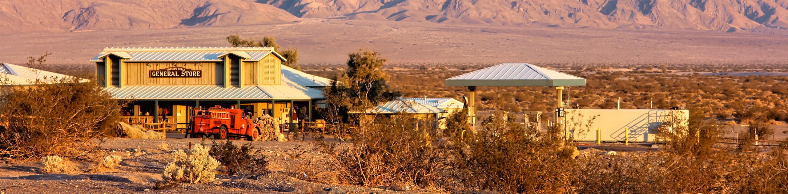
Yes! Along with a variety of campgrounds, the park also possesses three hotels. The Stovepipe Wells Village Hotel is located in Stovepipe Wells, while The Inn at Death Valley and The Ranch at Death Valley are located at Furnace Creek.
Are there mosquitoes in Death Valley?
Owing to the harsh and dry desert climate, Death Valley National Park is mosquito-free!
Are dogs allowed in Death Valley?
While dogs are permitted in any developed area, they are banned from Death Valley National Park trails or anywhere within its wilderness.
Can you have a campfire in Death Valley?
Campfires are only permitted within provided fire pits at designated Death Valley National Park campsites. Within the backcountry, campfires are not permitted at any time of the year.
Find Other Great Hiking Regions in California
Read MoreThe best hikes in Death Valley
01. Badwater Basin Salt Flats Trail
Difficulty
The Badwater Basin Salt Flats Trail is a stunning route in Death Valley National Park.… Read More
02. Dante’s View Trail
Difficulty
Dante’s View Trail is a family-friendly route that is neither too long or physically demanding.… Read More
03. Mesquite Flat Sand Dunes Trail
Difficulty
A fun hike with scenic views of the surrounding landscape, the Mesquite Flat and Sand… Read More
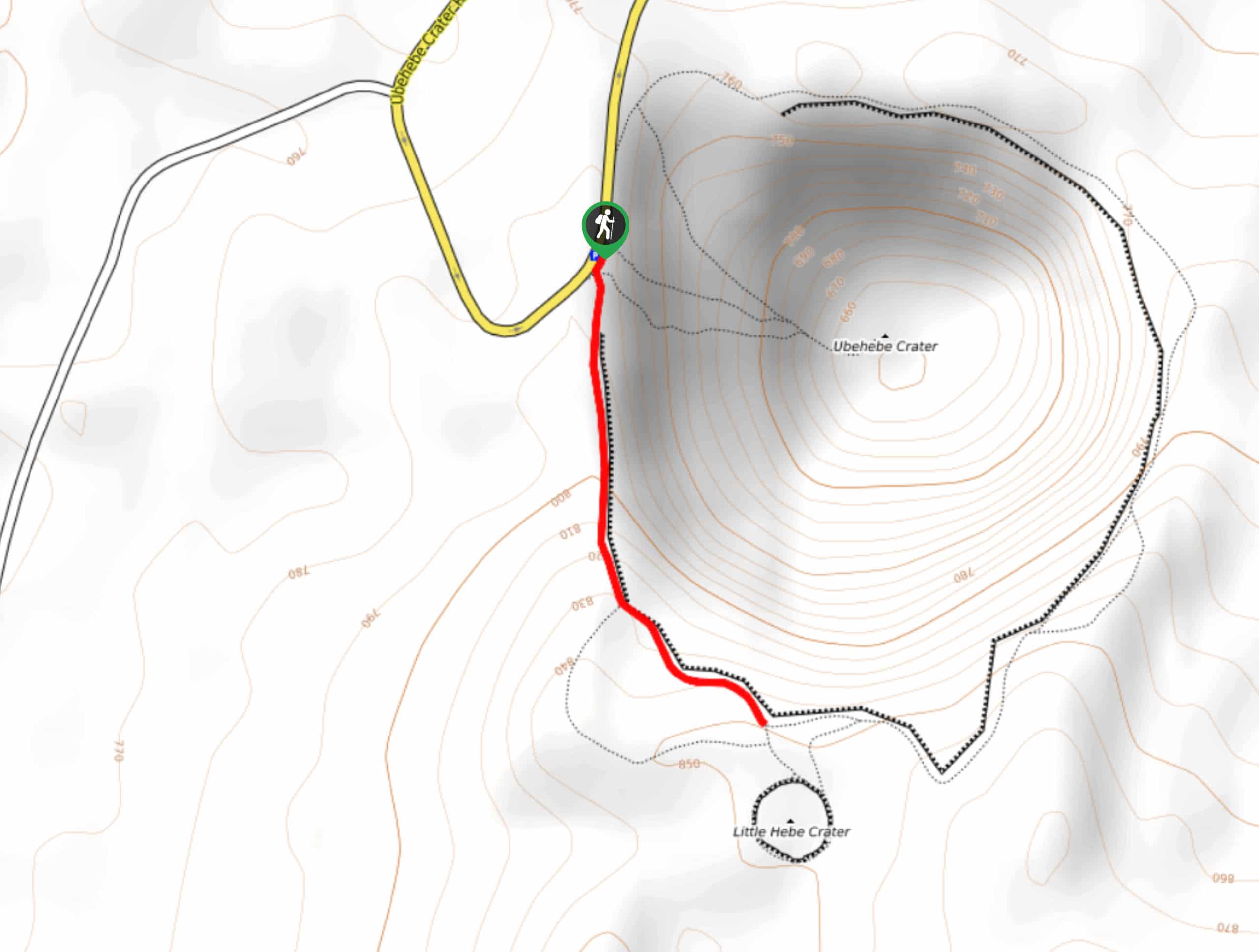
04. Little Hebe Trail
Difficulty
The Little Hebe Trail is a family-friendly route that takes you alongside two volcanic craters… Read More
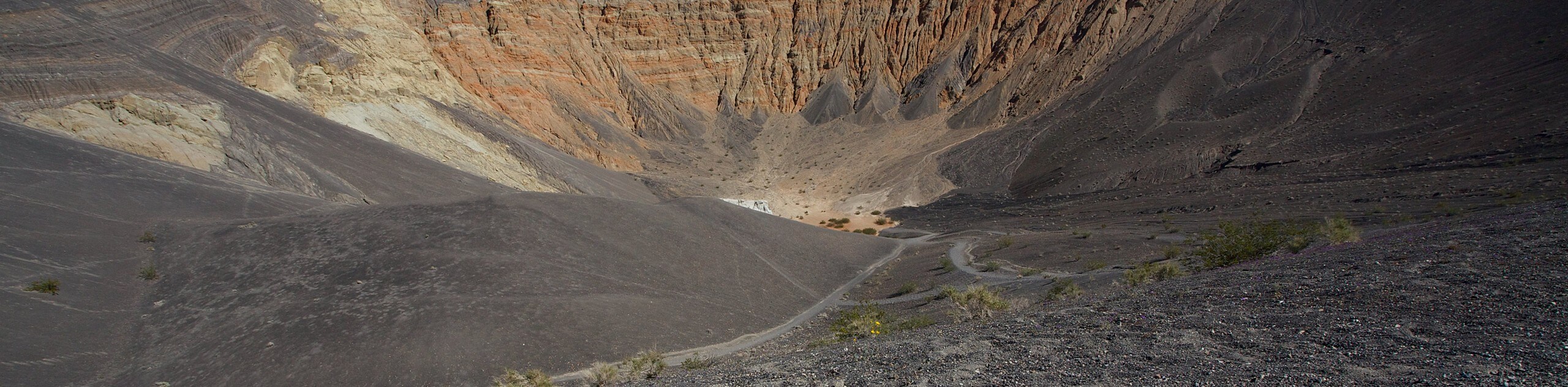
05. Ubehebe Crater Trail
Difficulty
The Ubehebe Crater Trail is a stunning route within Death Valley National Park. The route… Read More
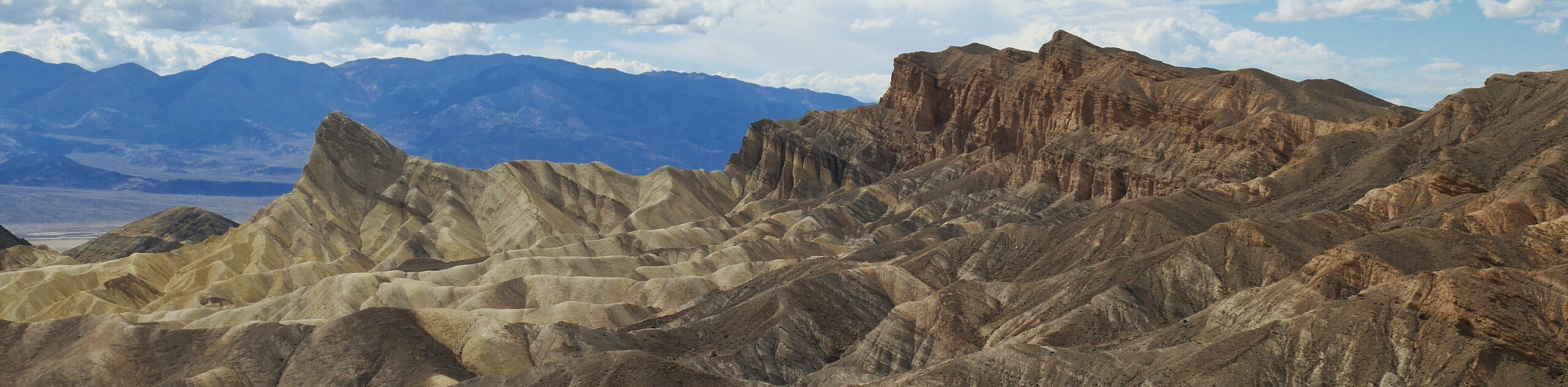
06. Zabriskie Point
Difficulty
Boasting incredible views of the surrounding Death Valley National Park landscape, Zabriskie Point is an… Read More
07. Darwin Falls Trail via Old Toll Road
Difficulty
Death Valley National Park is among the hottest and driest places on the planet -… Read More
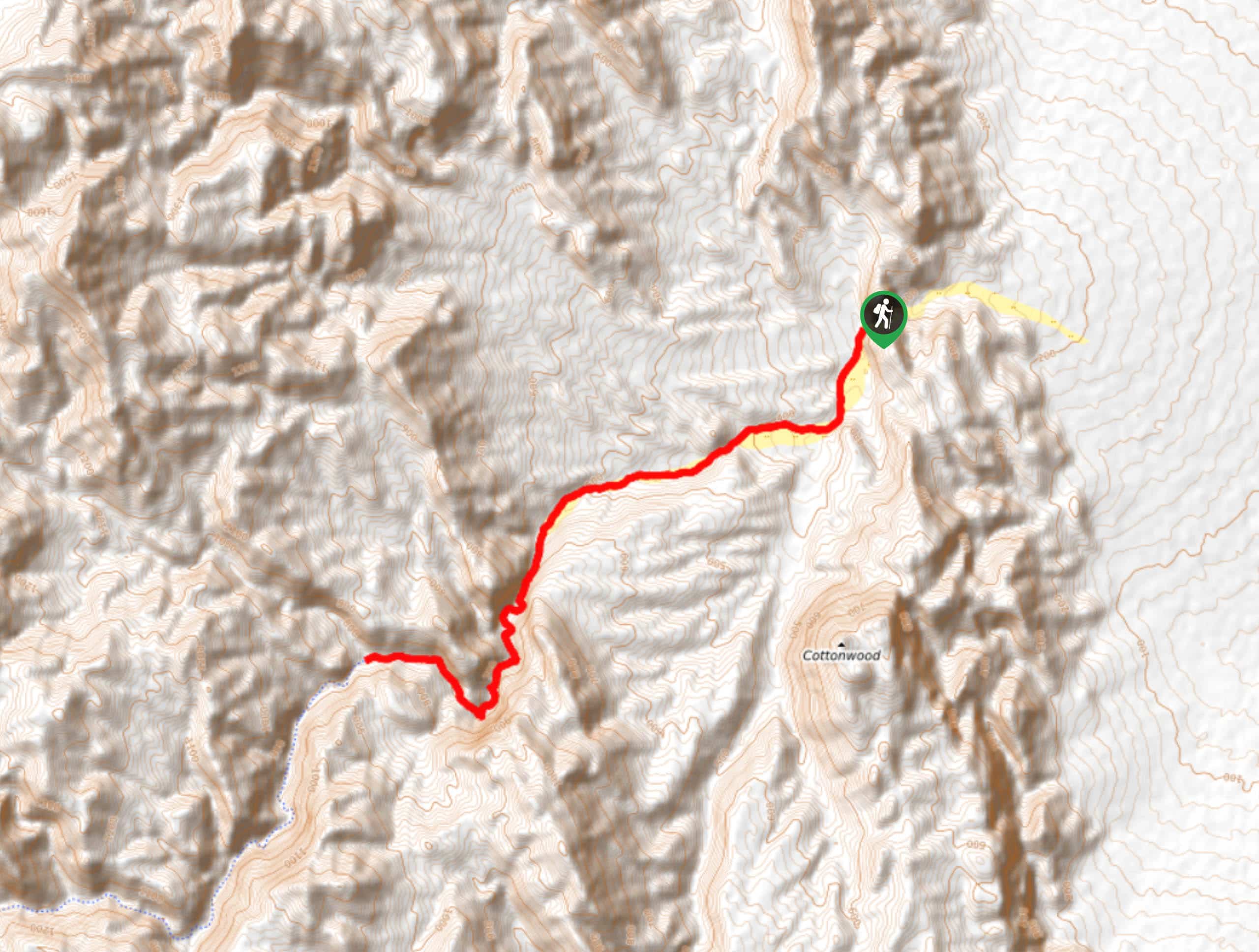
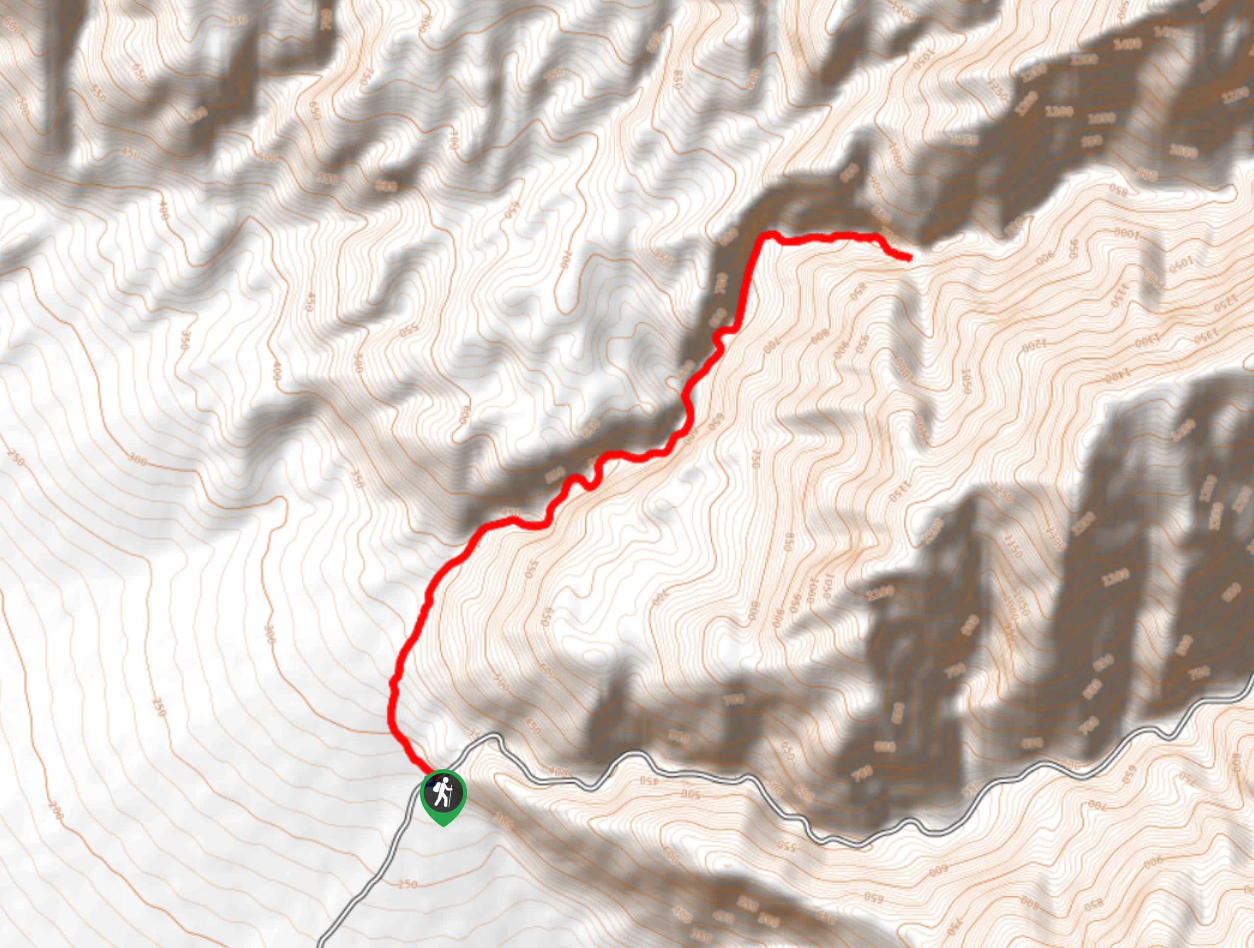
08. Telescope Peak Trail
Difficulty
The Telescope Peak Trail is a longer route that possesses a fair amount of elevation… Read More
09. Desolation Canyon Trail
Difficulty
The Desolation Canyon Trail traverses an incredible canyon that is as barren as it is… Read More
10. Willow Canyon Trail
Difficulty
A canyon lovers hike, the WIllow Canyon Trail has lots to offer. Rated as moderate… Read More
Yes, there are more than 10
Death Valley is so beautiful that we can not give you only 10 hikes. So here is a list of bonus hikes in Death Valley that you should take a look at as well
11. Artist’s Palette Overlook
Difficulty
An excellent location for taking pictures, the Artist’s Palette Overlook boasts incredible views of the… Read More
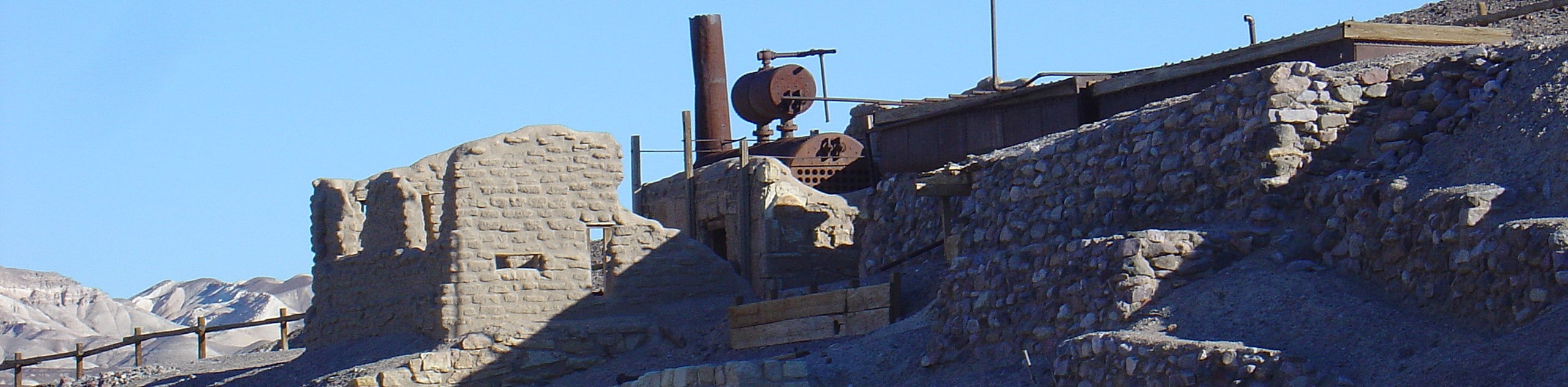
12. Harmony Borax Works
Difficulty
Short and with hardly any elevation incline, the Harmony Borax Works is appropriate for all… Read More
13. Eureka Dunes Trail
Difficulty
Considered to be a moderately difficult route, the Eureka Dunes Trail is ideal for intermediate… Read More
14. Father Crowley Vista
Difficulty
Appropriate for all skill levels and families with young children, Father Crowley Vista is a… Read More
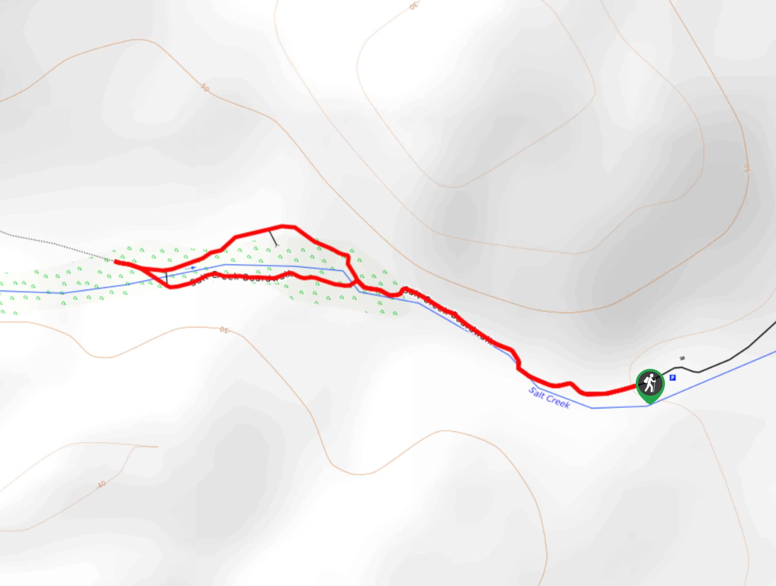
15. Salt Creek Interpretive Trail
Difficulty
Both wheelchair and stroller accessible, the Salt Creek Interpretive Trail is a family oriented route… Read More
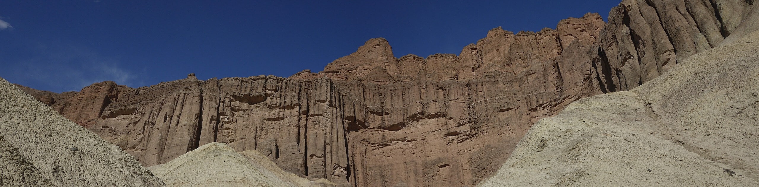
16. Golden Canyon Trail to Red Cathedral
Difficulty
Traversing deep canyons and beautiful red hillsides, the Golden Canyon Trail to Red Cathedral route… Read More
17. Natural Bridge Road Trail
Difficulty
Leading you through gorgeous and imposing canyons, the Natural Bridge Road Trail is a scenic… Read More
18. Gower Gulch Loop Trail
Difficulty
Gower Gulch Loop Trail is a moderately difficult route within Death Valley National Park. An… Read More
19. 20 Mule Team Canyon Trail
Difficulty
Short in distance and with little elevation incline, the 20 Mule Team Canyon Trail is… Read More
20. Wildrose Peak Trail
Difficulty
Fairly long, and with a large amount of elevation fluctuation, the Wildrose Peak Trail is… Read More
21. Golden Canyon and Gower Gulch Loop via Zabriskie Point
Difficulty
The Golden Canyon and Gower Gulch Loop via Zabriskie Point hike is a moderately difficult… Read More
22. Manly Beacon via Zabriskie Point and Gower Gulch Trail
Difficulty
Passing the stunning geological formation of Manly Beacon, the Manly Beacon via Zabriskie Point and… Read More
23. Texas Springs Trail
Difficulty
The Texas Springs Trail is a short route with nice views in Death Valley National… Read More
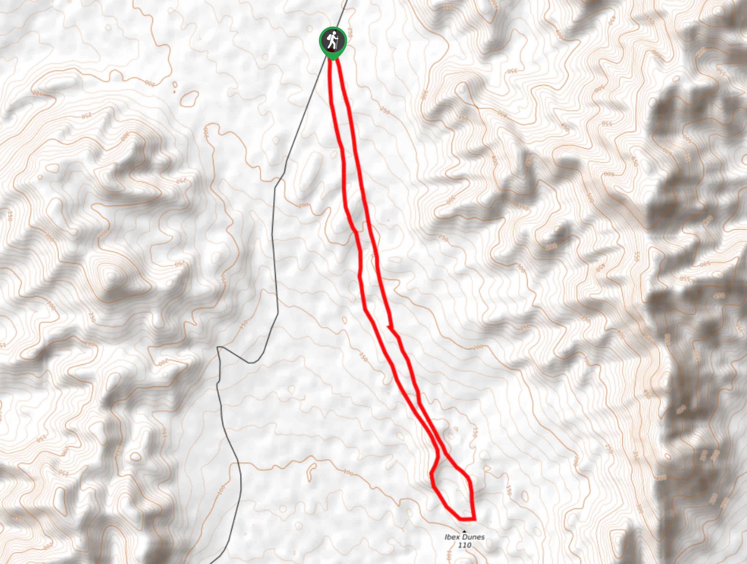
24. Ibex Dunes Trail
Difficulty
A moderately difficult route, the Ibex Dunes Trail is perfect for intermediate hikers, and families… Read More
25. Panamint Dunes Trail
Difficulty
The Panamint Dunes Trail is a stunning route within Death Valley National Park. Traversing the… Read More
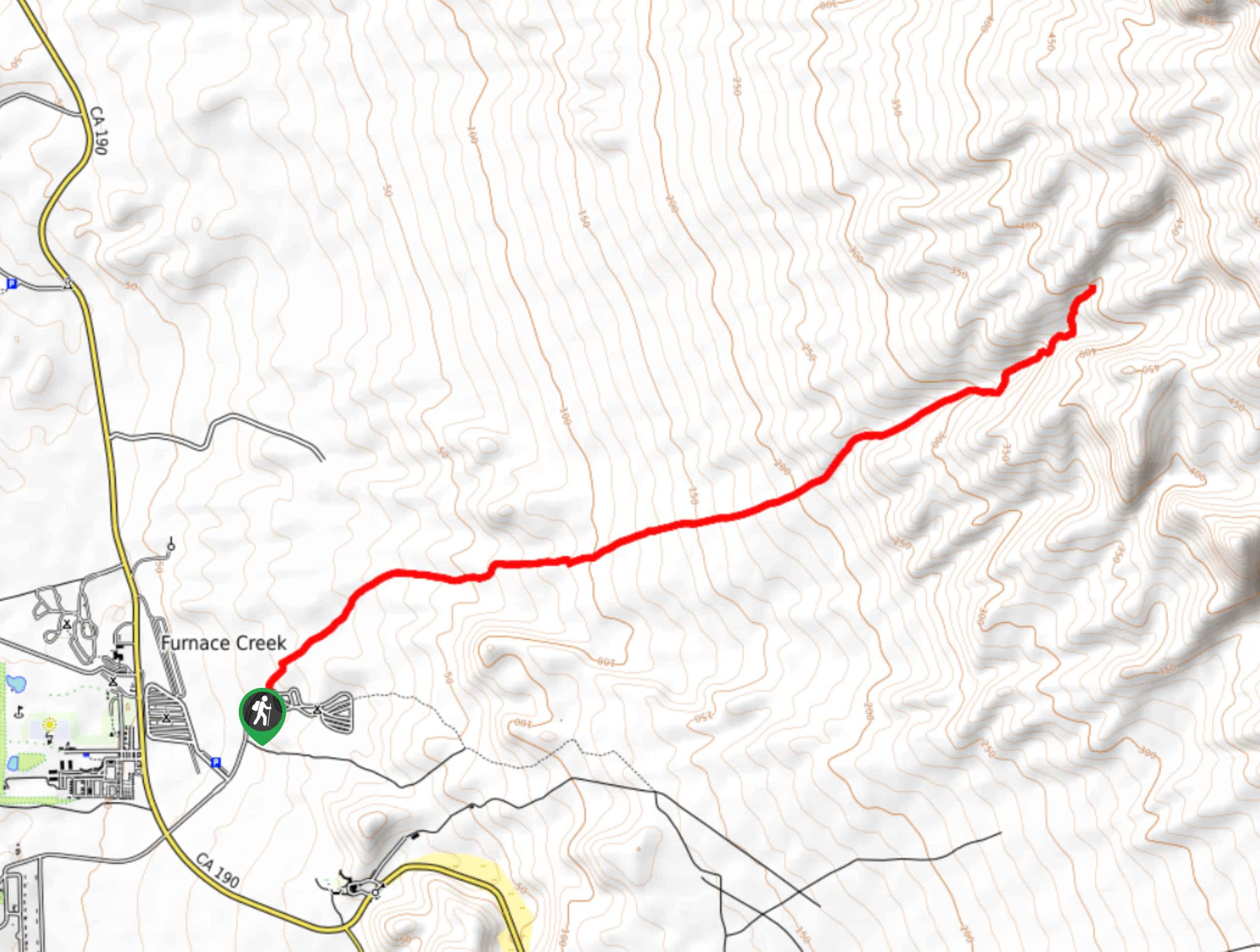
26. Historic Stovepipe Well Trail
Difficulty
Taking you through an abandoned water well complex that once provided locals with a lifesaving… Read More
27. Marble Canyon Petroglyphs Trail
Difficulty
The Marble Canyon Petroglyphs Trail is a fairly long route with a sizable amount of… Read More
28. Fall Canyon Trail
Difficulty
The Fall Canyon Trail is a scenic route in Death Valley National Park that brings… Read More
29. Inyo Mine Trail
Difficulty
Short and with little elevation fluctuation, the Inyo Mine Trail is a perfect route for… Read More
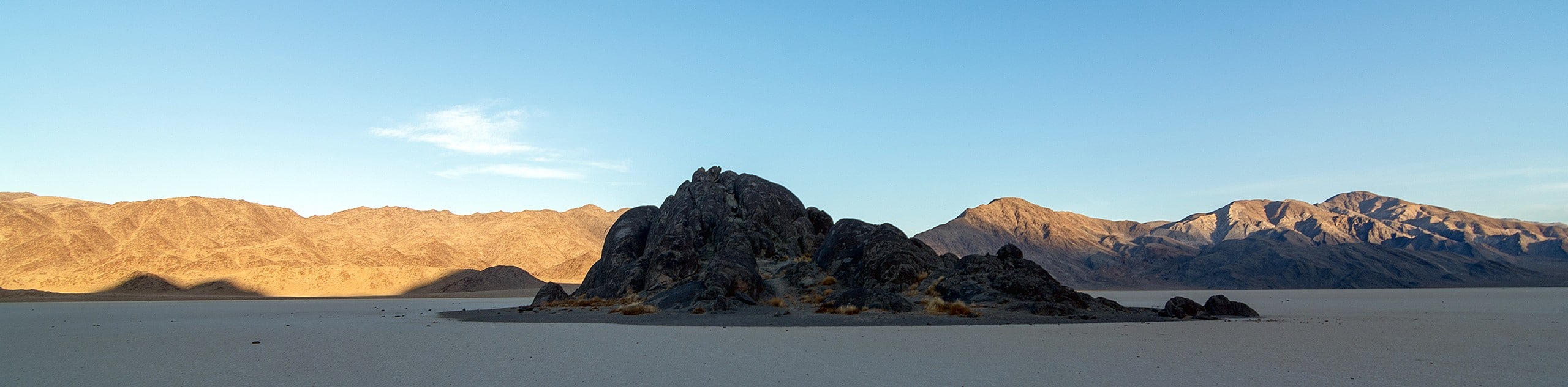
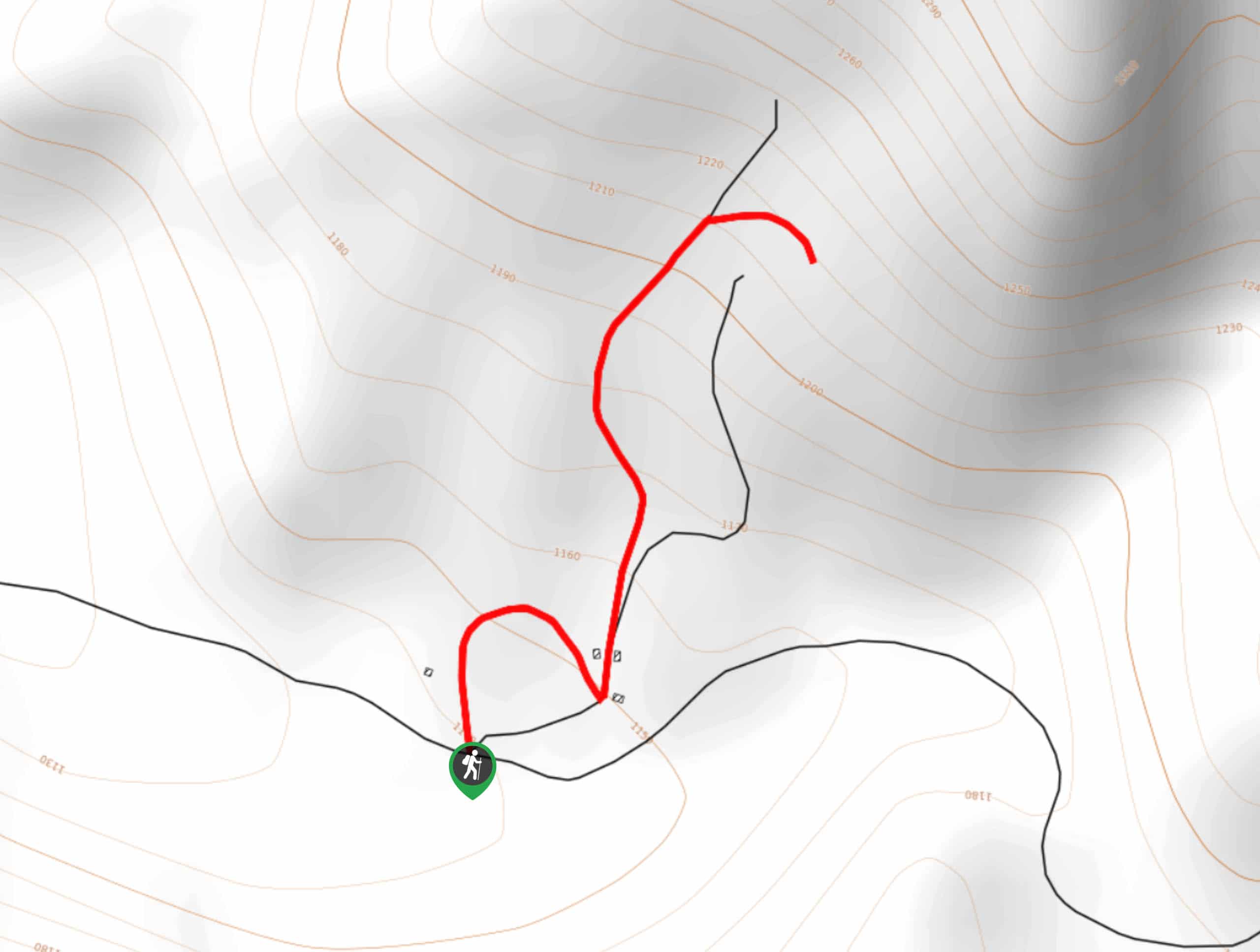
30. The Grandstand via Racetrack Trail
Difficulty
A short trail that is not too physically demanding, The Grandstand via Racetrack Trail is… Read More
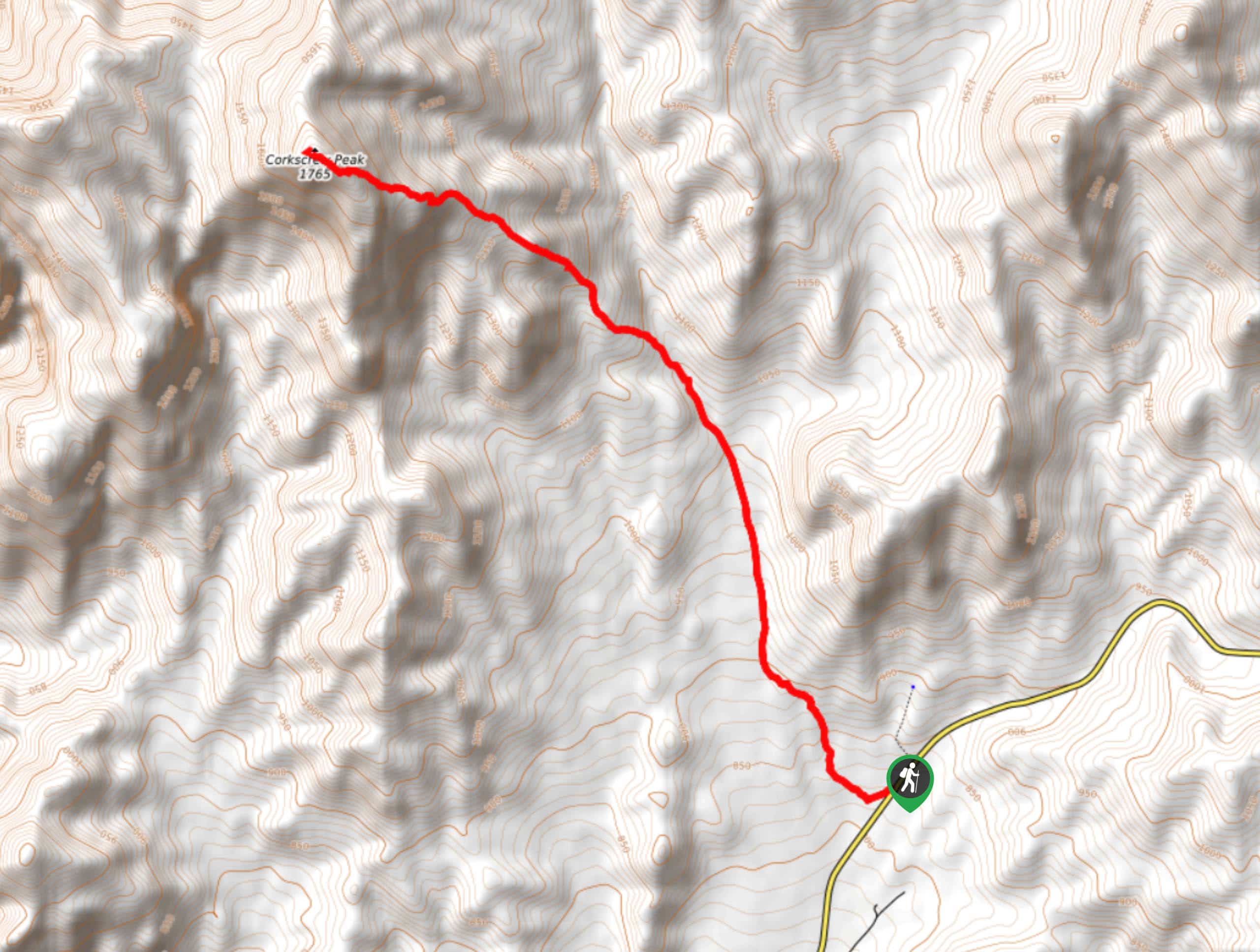
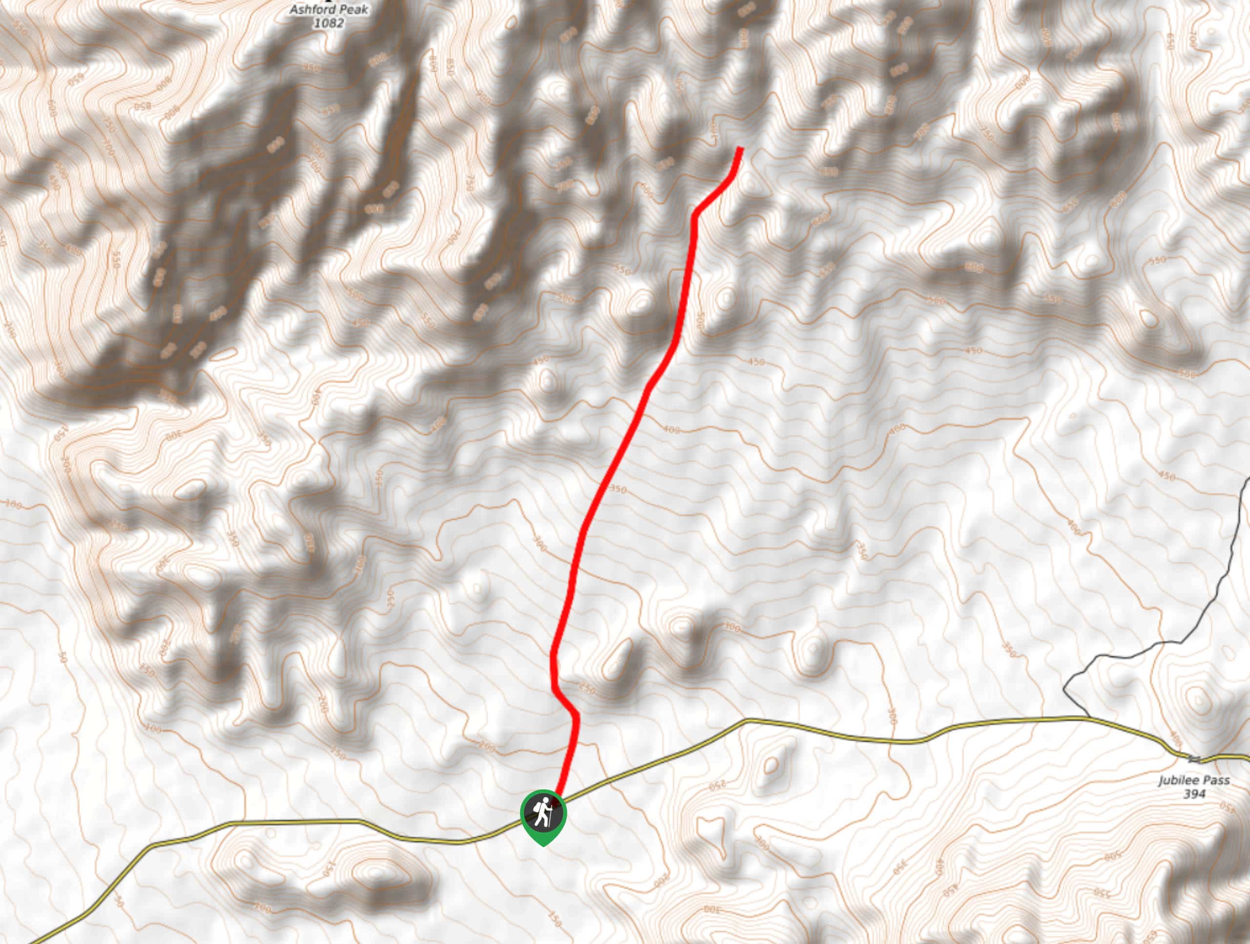
31. Corkscrew Peak Trail
Difficulty
Considered to be one of the more challenging routes within Death Valley National Park, the… Read More
32. Zabriskie Point and Gower Gulch Path Loop
Difficulty
Short in distance and with relatively little elevation incline, the Zabriskie Point and Gower Gulch… Read More
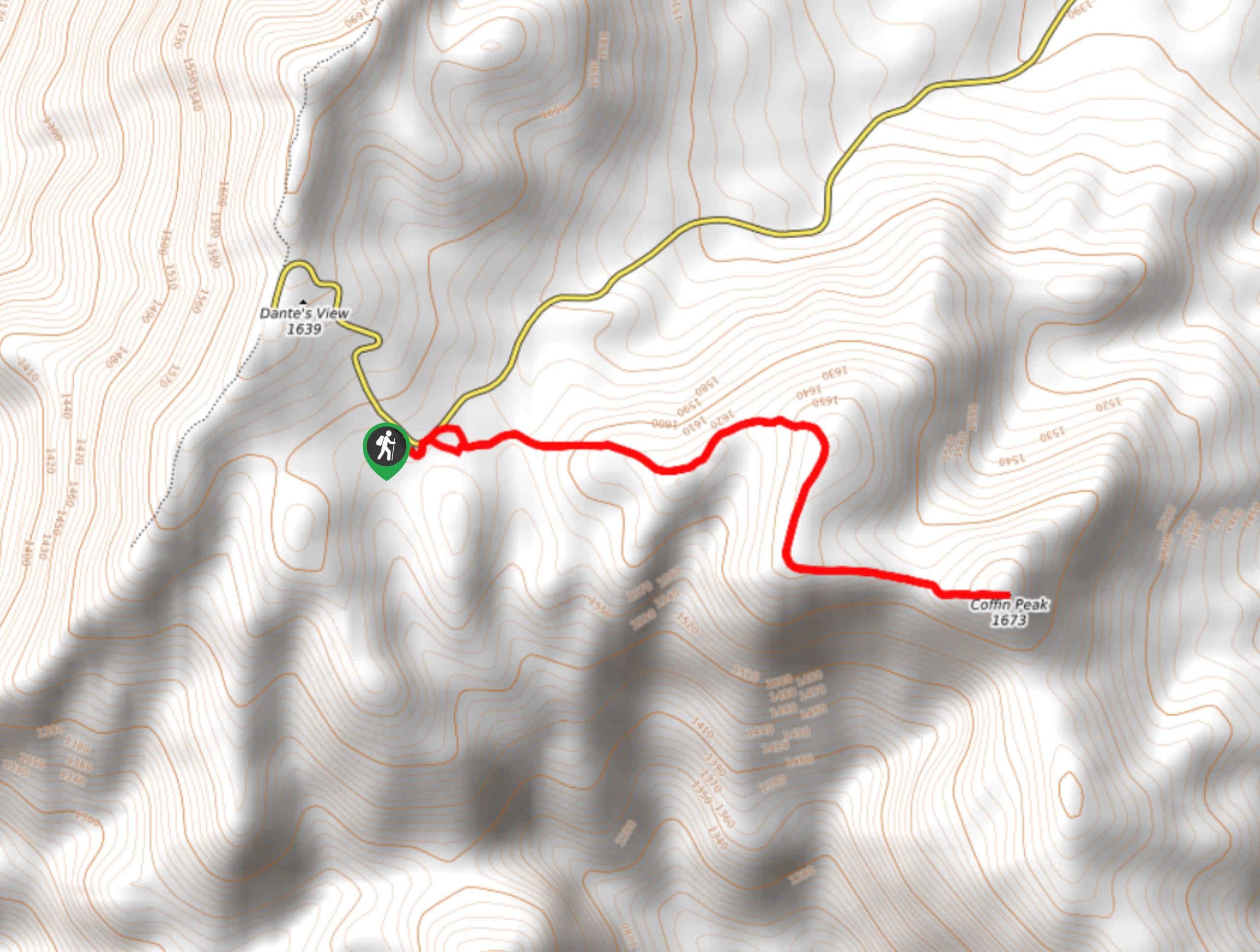
33. Coffin Peak Trail
Difficulty
A beautiful route within Death Valley National Park, Coffin Peak Trail leads you to a… Read More
34. Kaleidoscope Canyon Trail
Difficulty
A beautiful route within Death Valley National Park, the Kaleidoscope Canyon Trail is a must… Read More
35. Funeral Canyon Trail
Difficulty
A longer route with a fair amount of elevation gain, Funeral Canyon Trail is a… Read More
36. Lower Telephone Canyon Trail
Difficulty
A difficult route that leads to an incredible vista where panoramic views of the surrounding… Read More
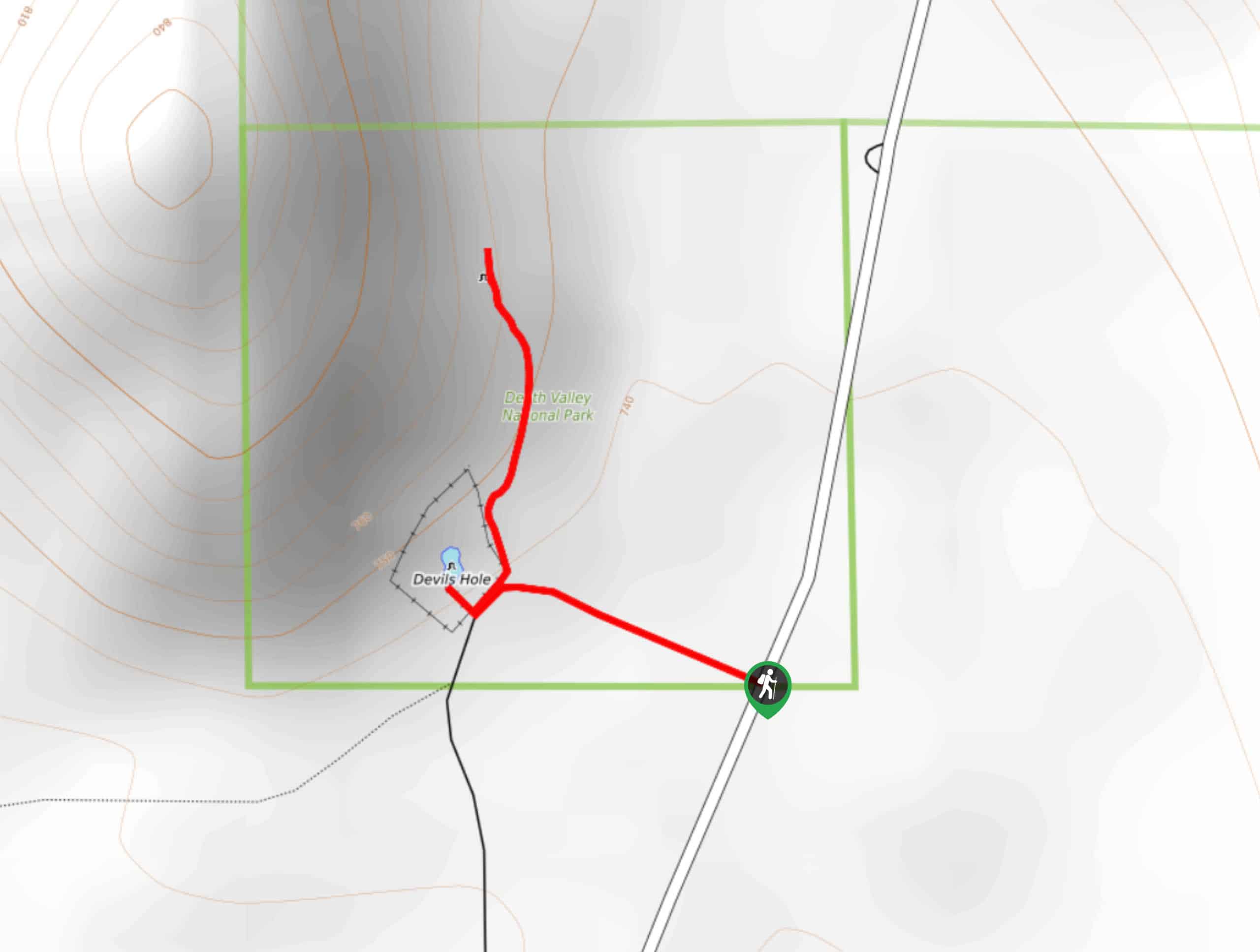
37. Devil’s Hole Overlook
Difficulty
An excellent route for families with young children and those looking for a more casual… Read More
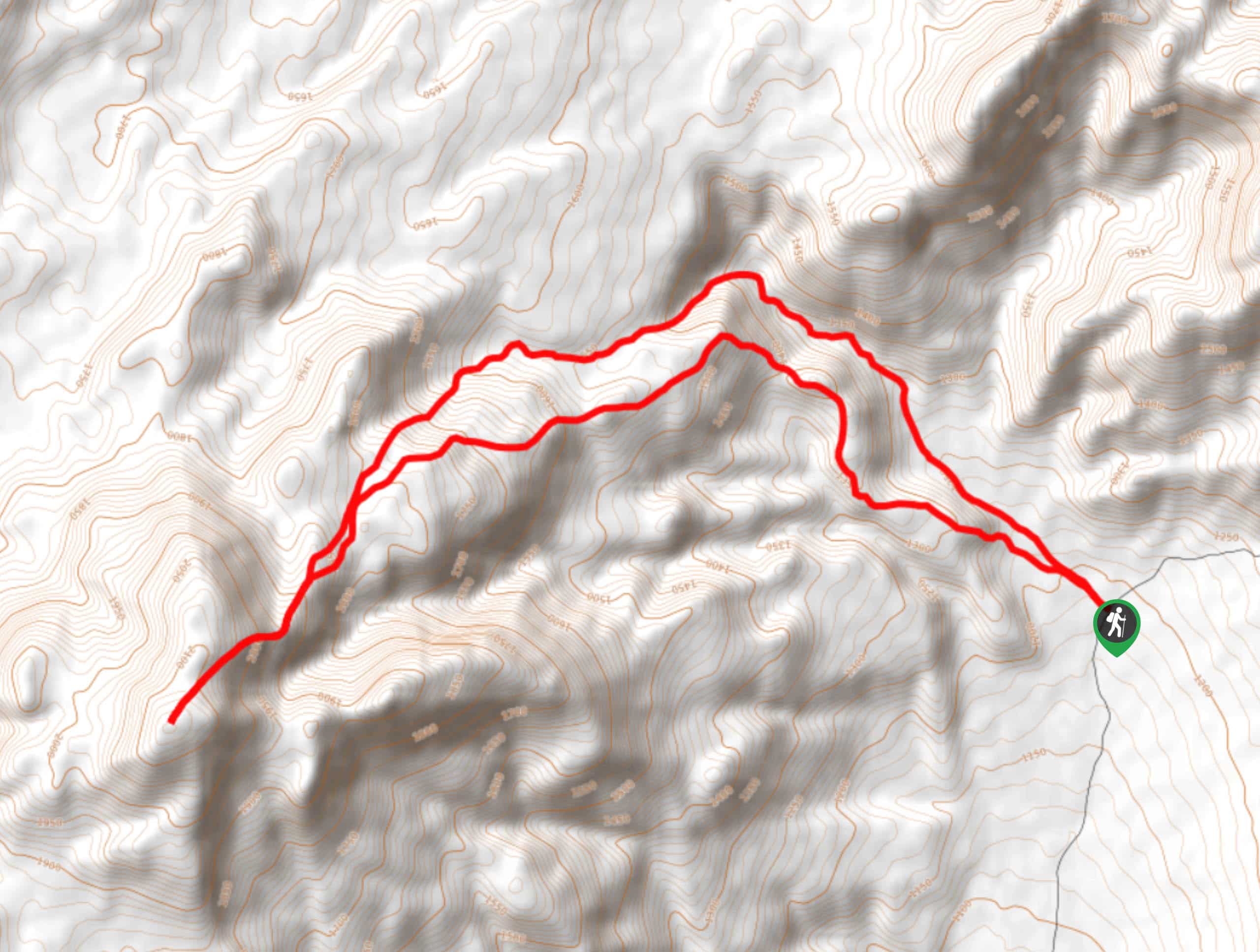
38. Saline Mountain Trail
Difficulty
A physically demanding but beautiful route, the Saline Mountain Trail is a must do for… Read More
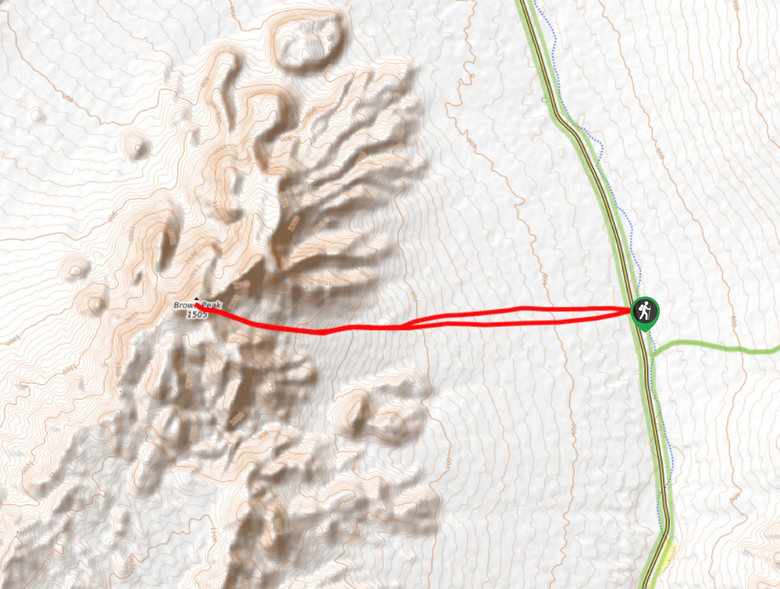
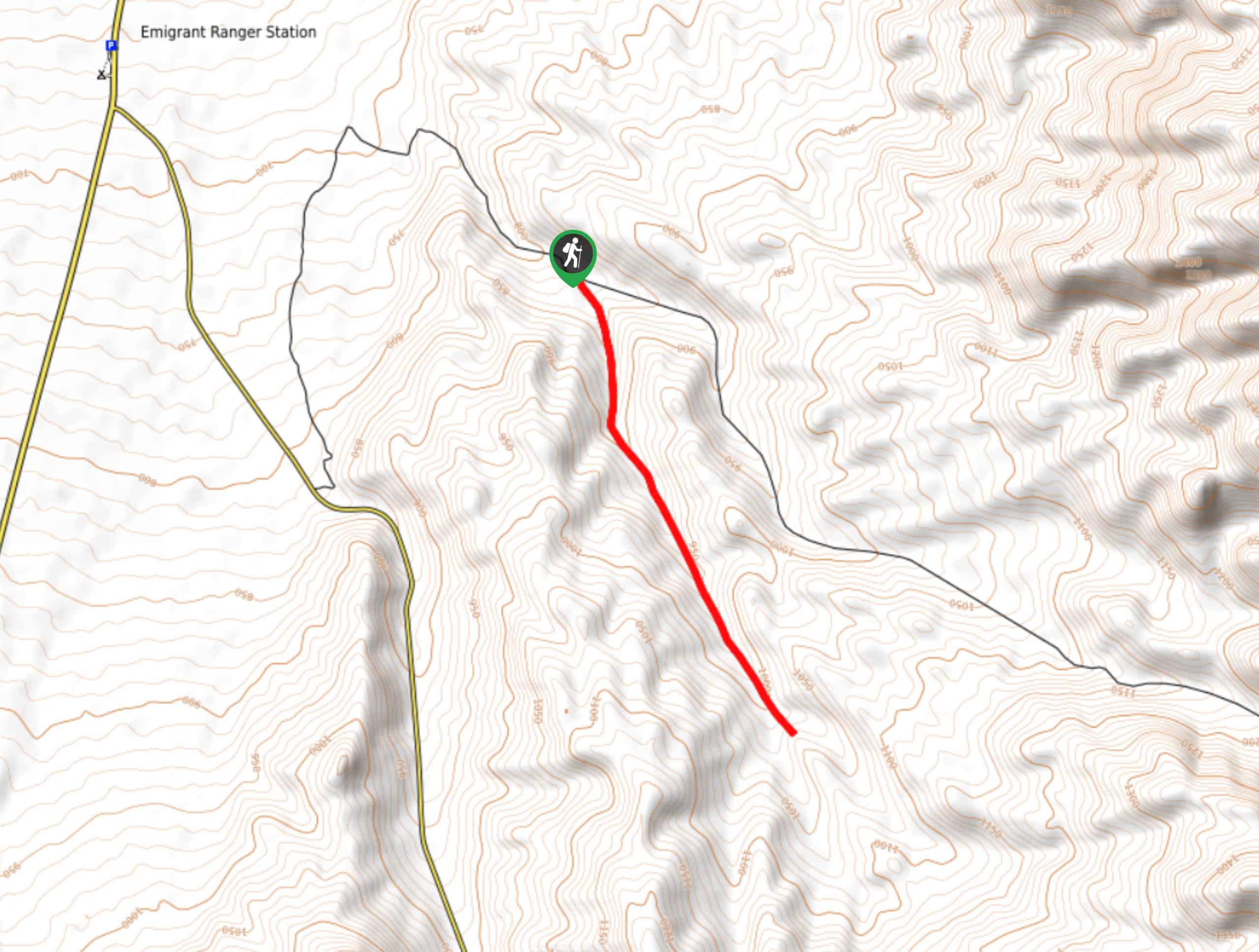
39. Brown Peak Trail
Difficulty
A longer route with a fair amount of elevation gain, the Brown Peak Trail should… Read More
Are we missing your favourite hike?
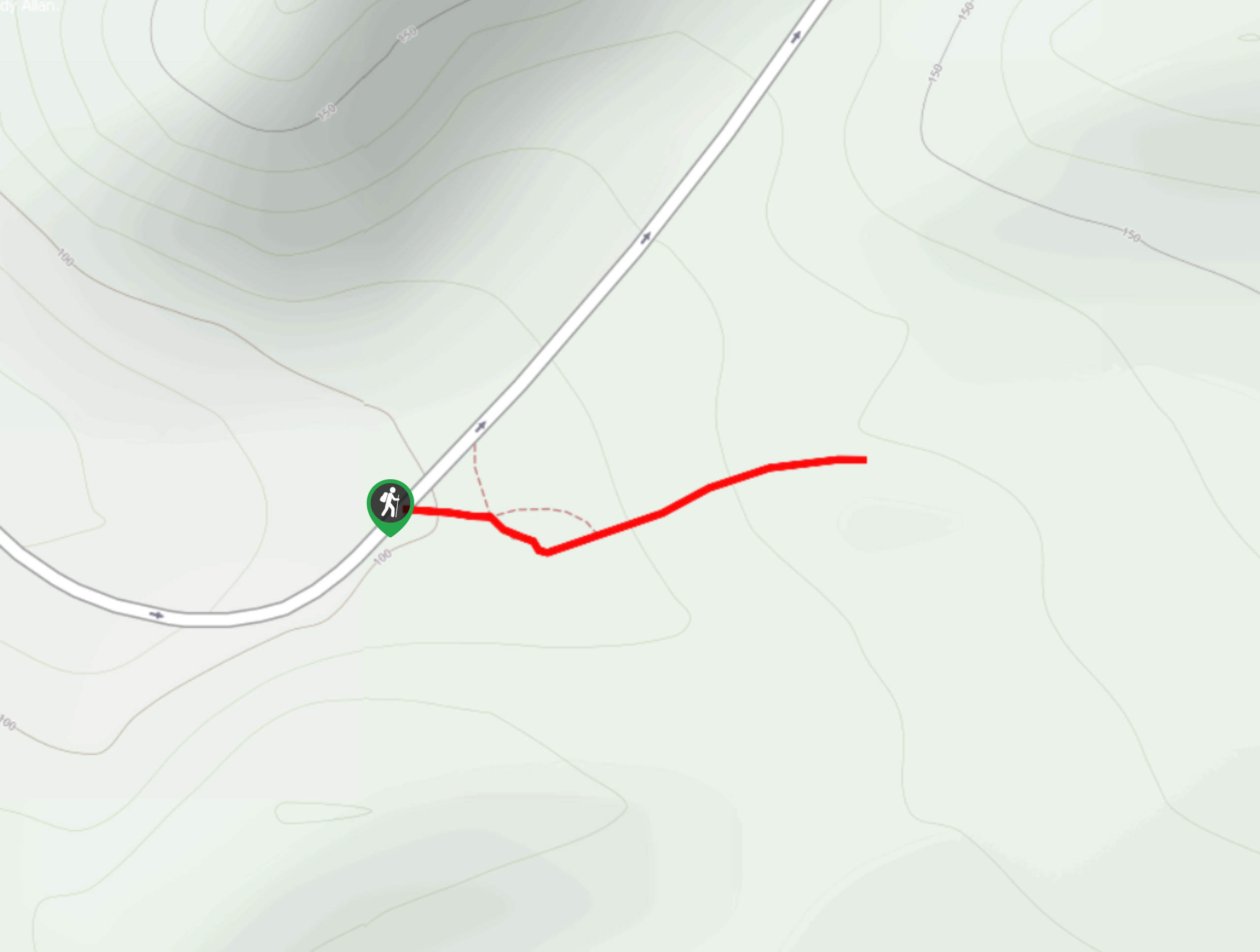
Tell us! If you've got photos, a GPS track and know the hike, we'd love to share your favourite hike with the rest of the 10Adventures community.