Badwater Basin Salt Flats Trail
View Photos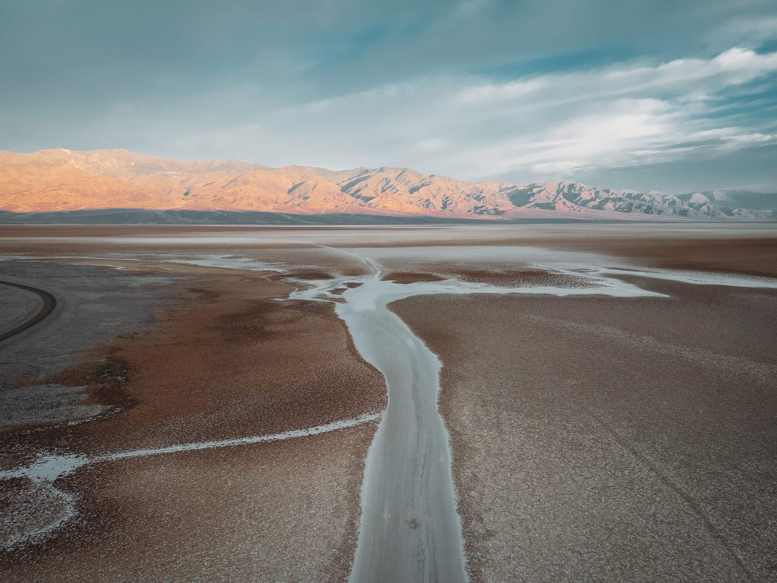
Badwater Basin Salt Flats Trail
Difficulty Rating:
The Badwater Basin Salt Flats Trail is a stunning route in Death Valley National Park. Short, flat and family-friendly, the route takes you onto arid salt flats that are both picturesque and humbling in their sheer vastness. The Badwater Basin Salt Flats Trail is simply a must do when visiting Death Valley National Park.
Getting there
The Trailhead for the Badwater Basin Salt Flats Trail is located off of Badwater Road in Death Valley National Park.

About
| Backcountry Campground | No |
| When to do | October-March |
| Pets allowed | No |
| Family friendly | Yes |
| Route Signage | Good |
| Crowd Levels | High |
| Route Type | Out and back |
Badwater Basin Salt Flats Trail
Elevation Graph
Weather
Badwater Basin Salt Flats Trail Description
As the Badwater Basin Salt Flats Trail is within the desert environment of Death Valley National Park, it is important that you prepare yourself for the arid conditions. Make sure you bring lots of water with you, and that you protect yourself from the effects of the sun with sunscreen and a hat. We also recommend visiting the Badwater Basin Salt Flats Trail earlier in the morning or later in the afternoon in order to avoid the intense midday heat.
Not only is the Badwater Basin Salt Flats Trail breathtakingly beautiful, it is also incredibly accessible. Located off of one of the main roads within Death Valley National Park, the Badwater Basin Salt Flats Trail is short in distance and has hardly any elevation fluctuations. The route is therefore perfect for all skill levels and families with young children. The Badwater Basin Salt Flats Trail even starts on a boardwalk, making the first section of it wheelchair accessible.
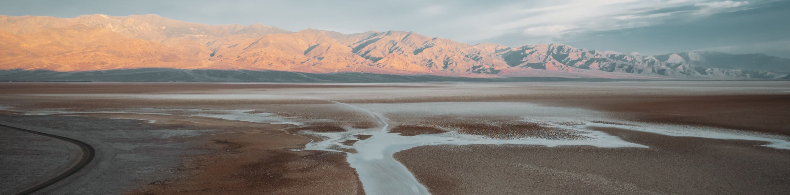
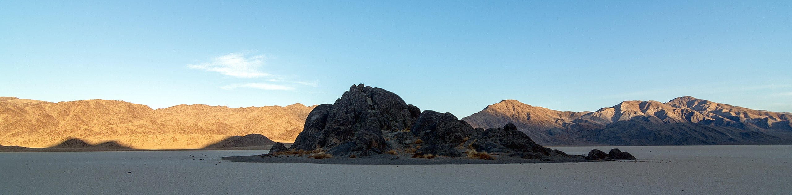
In terms of the scenery, the Badwater Basin Salt Flats Trail leads you onto a vast plateau of salt flats wedged between two large mountain ranges. The salt flats are almost completely featureless and, along with the large mountains surrounding you, cause you to feel insignificant in their vastness and scale. Throughout the route, informative plaques are present to help educate you on the natural history of the area.
Having parked your vehicle, locate the trailhead at the western side of the lot. The Badwater Basin Salt Flats Trail itself is very straightforward. Simply follow the well-marked trail west as it leads you into the interior of the salt flats. The route is almost completely linear and lacks any real elevation fluctuation. Once you have arrived at the trail’s end, simply turn around and backtrack your steps towards the trailhead.
Trail highlights
Badwater Basin Salt Flats
The Badwater Basin Salt Flats are the lowest point in North America. At 282 feet below sea level, the Salt Flats are also among the hottest and driest places on earth. Made up mostly of sodium chloride (table salt), borax, gypsum and calcite, the scenic flats attract people from all over the world.
The Badwater Basin Salt Flats are the remienets of an ancient lake. The Lake – known as Lake Manly – had no outlets and so it accumulated salt and other sediments. When the lake started to evaporate and eventually dry up completely, incredibly concentrated salt deposits remained, creating the salt flats present today.
Frequently Asked Questions
How big are the Badwater Basin salt flats?
Covering over 200 square miles (518 square km), the Badwater Basin salt flats are absolutely huge!
Can you eat the salt from Badwater Basin?
While not poisonous, the salt from Badwater Basin is, of course, very salty. Large amounts of salt can harm you, so taste with caution. And why bother eating salt, anyways?
Insider Hints
The views at sunrise are well worth the effort of an early morning wake up.
Make sure you bring your camera! You will regret it if you don't.
There is no shade in the area, so consider an umbrella.
If possible, consider going midweek to avoid the weekend crowds.
Similar hikes to the Badwater Basin Salt Flats Trail hike
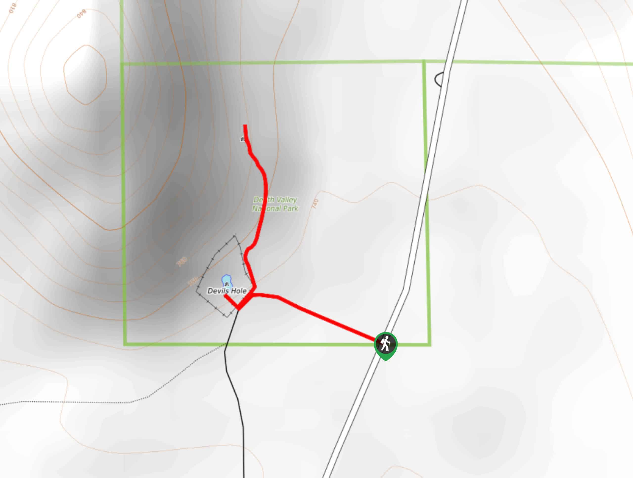
Devil’s Hole Overlook
An excellent route for families with young children and those looking for a more casual hiking experience, the Devil’s Hole…
Zabriskie Point and Gower Gulch Path Loop
Short in distance and with relatively little elevation incline, the Zabriskie Point and Gower Gulch Path Loop is ideal for…
The Grandstand via Racetrack Trail
A short trail that is not too physically demanding, The Grandstand via Racetrack Trail is an excellent route for beginner…
Comments