Zabriskie Point and Gower Gulch Path Loop
View Photos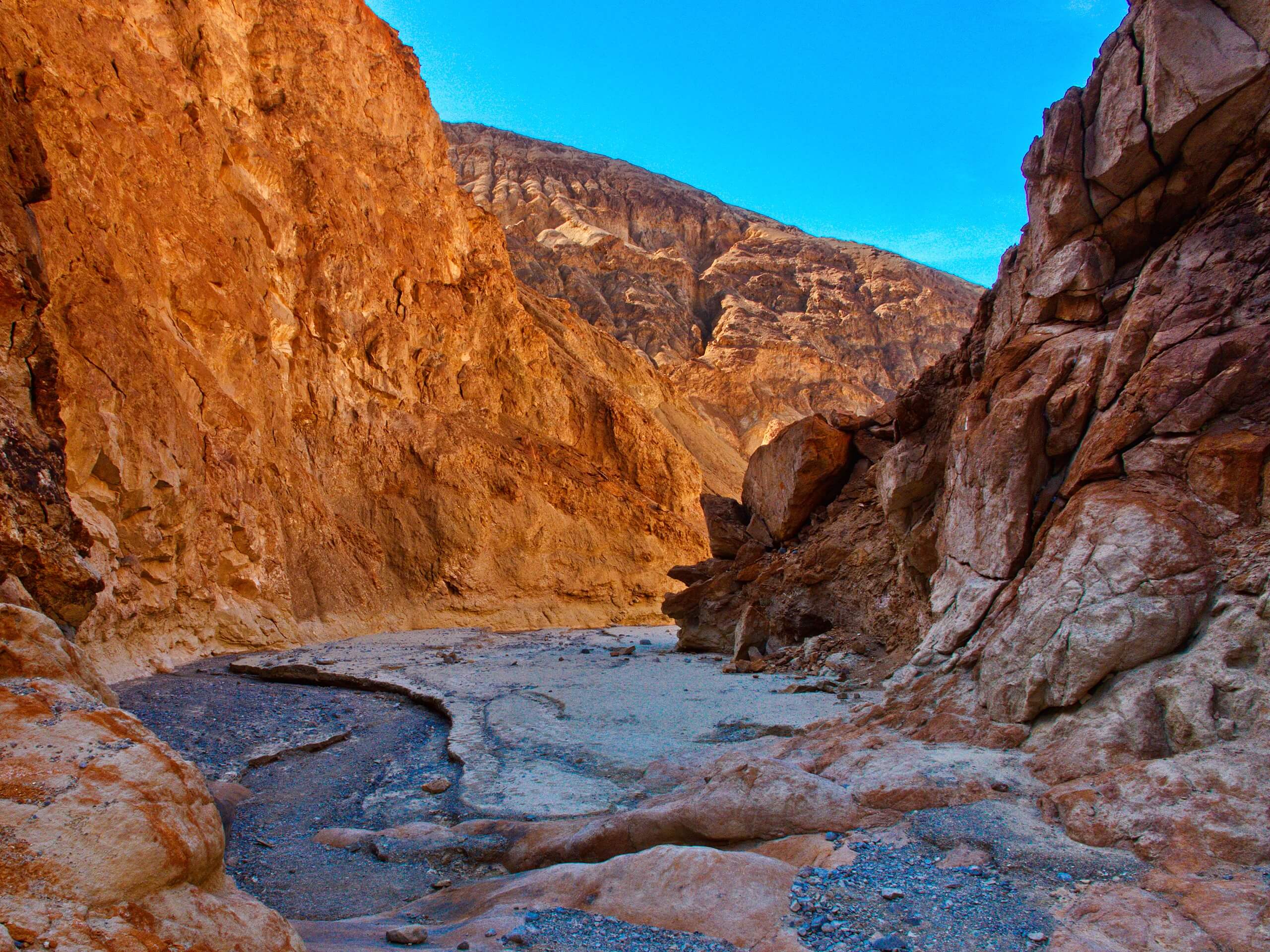
Zabriskie Point and Gower Gulch Path Loop
Difficulty Rating:
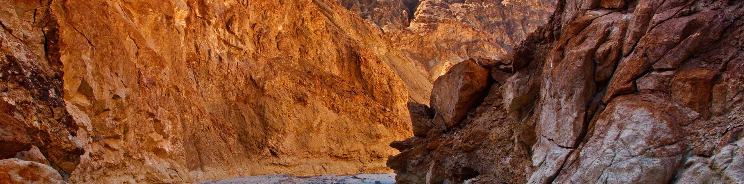
Short in distance and with relatively little elevation incline, the Zabriskie Point and Gower Gulch Path Loop is ideal for beginner hikers and families with small children. Traversing the scenic terrain of Death Valley National Park, the route is also considered to be a great place for viewing wildlife.
Getting there
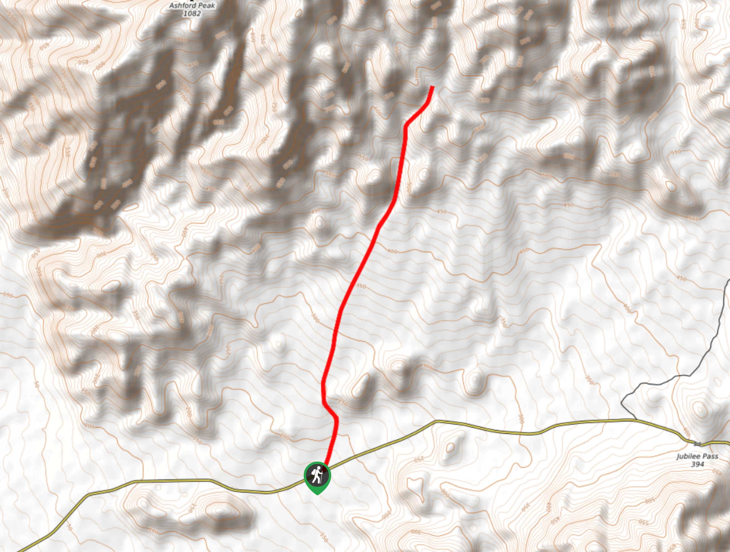
The trailhead for Zabriskie Point and Gower Gulch Path Loop is located at a parking lot off of Highway 190.

About
| Backcountry Campground | Texas Springs Campground |
| When to do | February-December |
| Pets allowed | No |
| Family friendly | Yes |
| Crowd Levels | Moderate |
| Route Type | Lollipop |
Zabriskie Point and Gower Gulch Path Loop
Elevation Graph
Weather
Zabriskie Point and Gower Gulch Path Loop Description
While not a challenging route, it is still important to prepare yourself for the desert conditions of Death Valley National Park before attempting Zabriskie Point and Gower Gulch Path Loop. Make sure you wear sunscreen and a hat, and that you are drinking lots of water throughout the day. We also recommend heading out early in the morning to skip the intense midday heat.
With your vehicle parked, locate the trailhead at the western side of the parking lot. Follow Zabriskie Point Trail as it makes its way north, and then west over relatively flat terrain. After a few hundred feet, you will arrive at a junction within the trail, where you are to take the southern pathway onto Gower Gulch Path. Once on Gower Gulch Path, continue along it as it heads southwest while steadily inclining in elevation.
You will eventually reach another junction within the trail, where you will take the northern pathway. After traveling a short distance, you will arrive at another junction. Follow the eastern route as the elevation declines, where the path will then arrive at the first junction. From here, simply backtrack the initial section of the Zabriskie Point and Gower Gulch Path Loop all the way back to the trailhead.
Similar hikes to the Zabriskie Point and Gower Gulch Path Loop hike
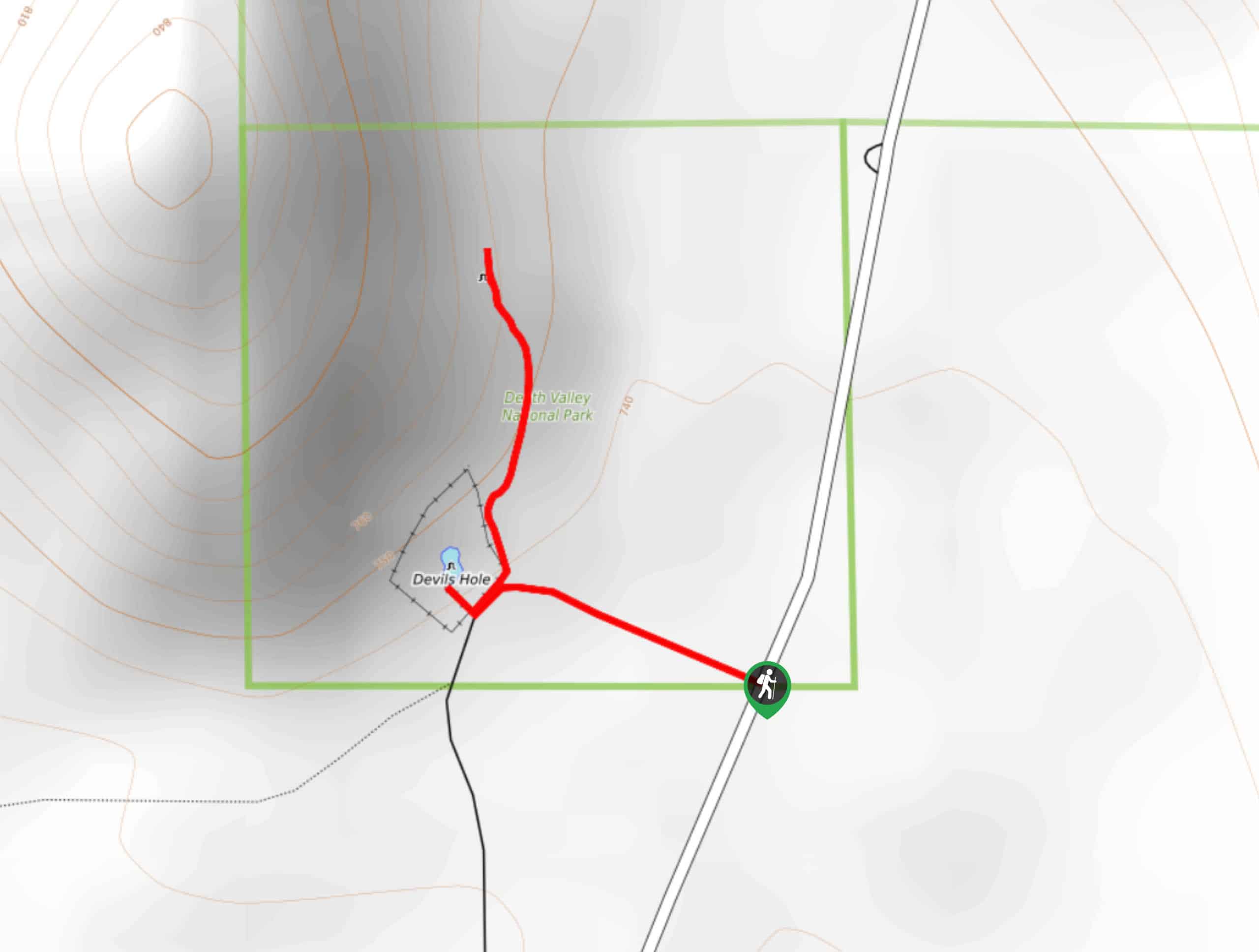
Devil’s Hole Overlook
An excellent route for families with young children and those looking for a more casual hiking experience, the Devil’s Hole…
Lower Telephone Canyon Trail
A difficult route that leads to an incredible vista where panoramic views of the surrounding area can be enjoyed, the…
Kaleidoscope Canyon Trail
A beautiful route within Death Valley National Park, the Kaleidoscope Canyon Trail is a must do for those who love…
Comments