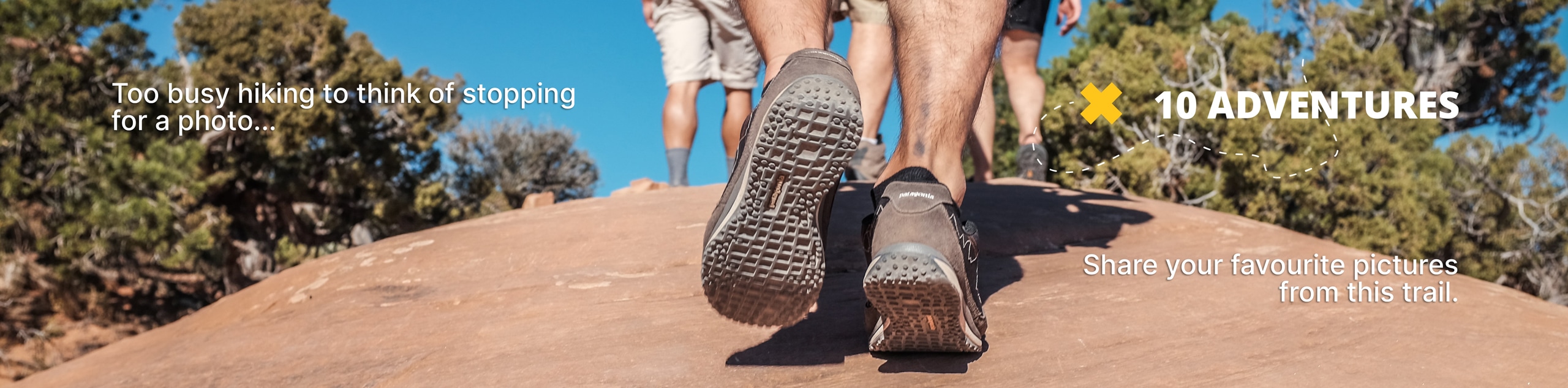
Corkscrew Peak Trail
View Photos
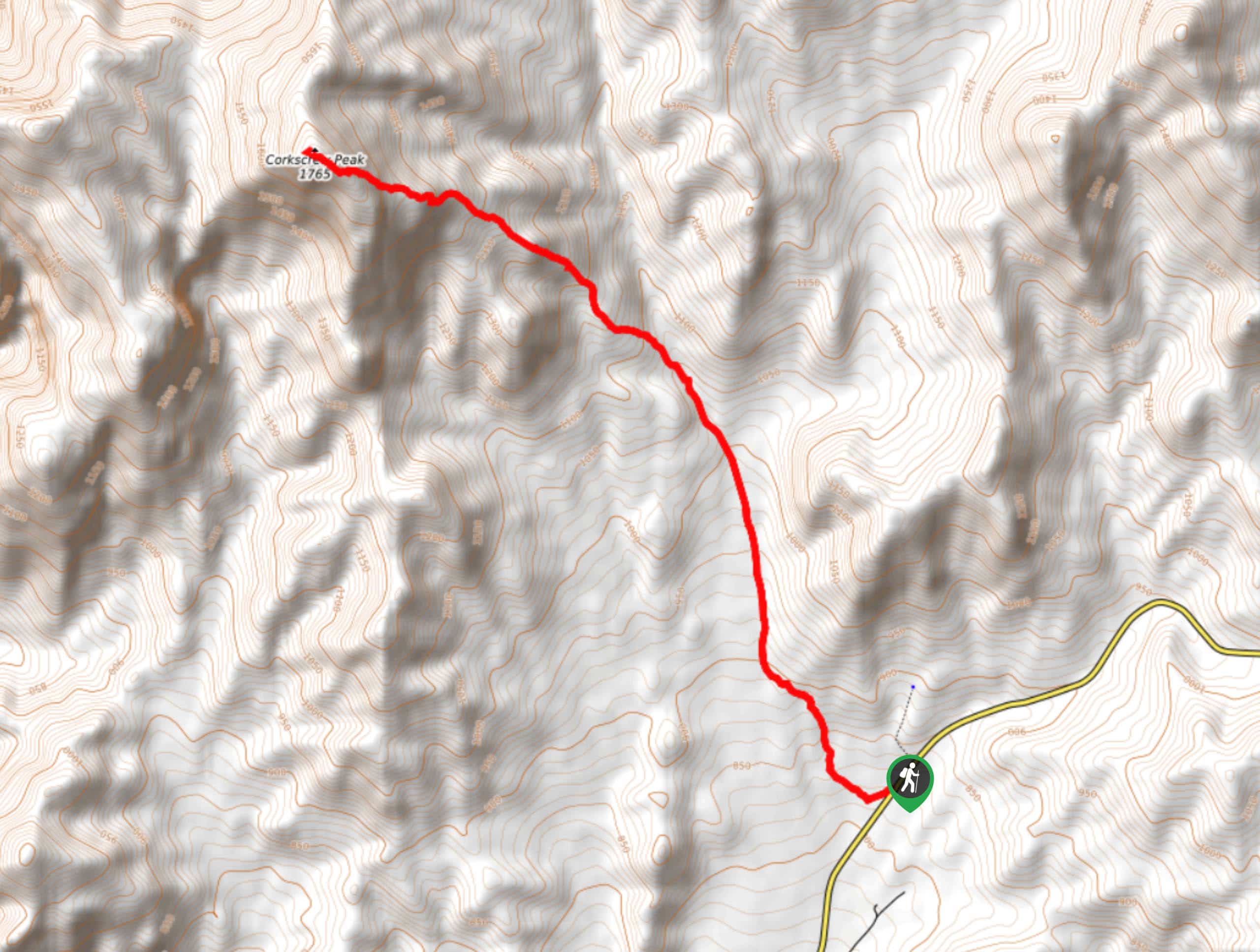
Corkscrew Peak Trail
Difficulty Rating:
Considered to be one of the more challenging routes within Death Valley National Park, the Corkscrew Peak Trail is both long and has a rather large elevation incline throughout it. While the Corkscrew Peak Trail is considered to be difficult, it is an amazingly beautiful route that is worth the effort for those willing to put the work in!
Getting there
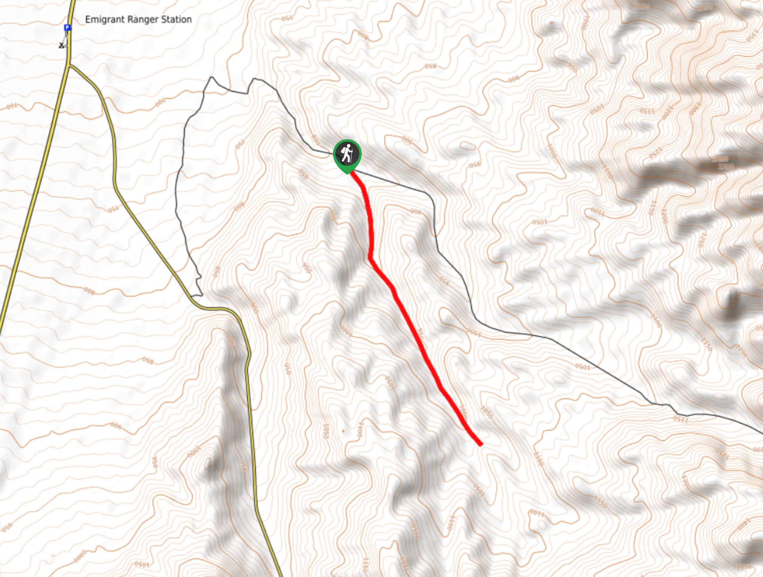
The trailhead for the Corkscrew Peak Trail is located off of Daylight Pass Road.

About
| Backcountry Campground | No |
| When to do | October - May |
| Pets allowed | No |
| Family friendly | No |
| Route Signage | Poor |
| Crowd Levels | Low |
| Route Type | Out and back |
Corkscrew Peak Trail
Elevation Graph
Weather
Corkscrew Peak Trail Description
Being both long in distance, and possessing a large amount of elevation incline, the Corkscrew Peak Trail should only be attempted by experienced hikers. Sections of the route – especially near the end – can become quite steep and so care should be taken when attempting. Hiking pools are suggested to help aid you along the route and – as with any hike within a desert environment – we also recommend bringing lots of water and protecting yourself from the sun with a hat and lots of sunscreen.
Having made it to the trailhead, follow the Corkscrew Peak Trail as it makes its way north alongside some highlands to the east of the pathway. The trail incline is gradual at first as it makes its way north. Soon, however, the incline will become noticeably steeper as you make your way to the base of Corkscrew peak, and up a saddle.
With the initial saddle section completed, the long steep climb to Corkscrew Peak begins. Take your time, and watch your footing, as the scree slope can become dangerous if rushed. While climbing the incline, the Corkscrew Peak Trail will veer slightly to the east, and will eventually lead you to Corkscrew Peak itself. Enjoy the fruits of your effort by taking in the panoramic views, and maybe stopping for a picnic! Once you are ready, backtrack your steps towards the trailhead, ensuring you take your time on the decline.
Similar hikes to the Corkscrew Peak Trail hike
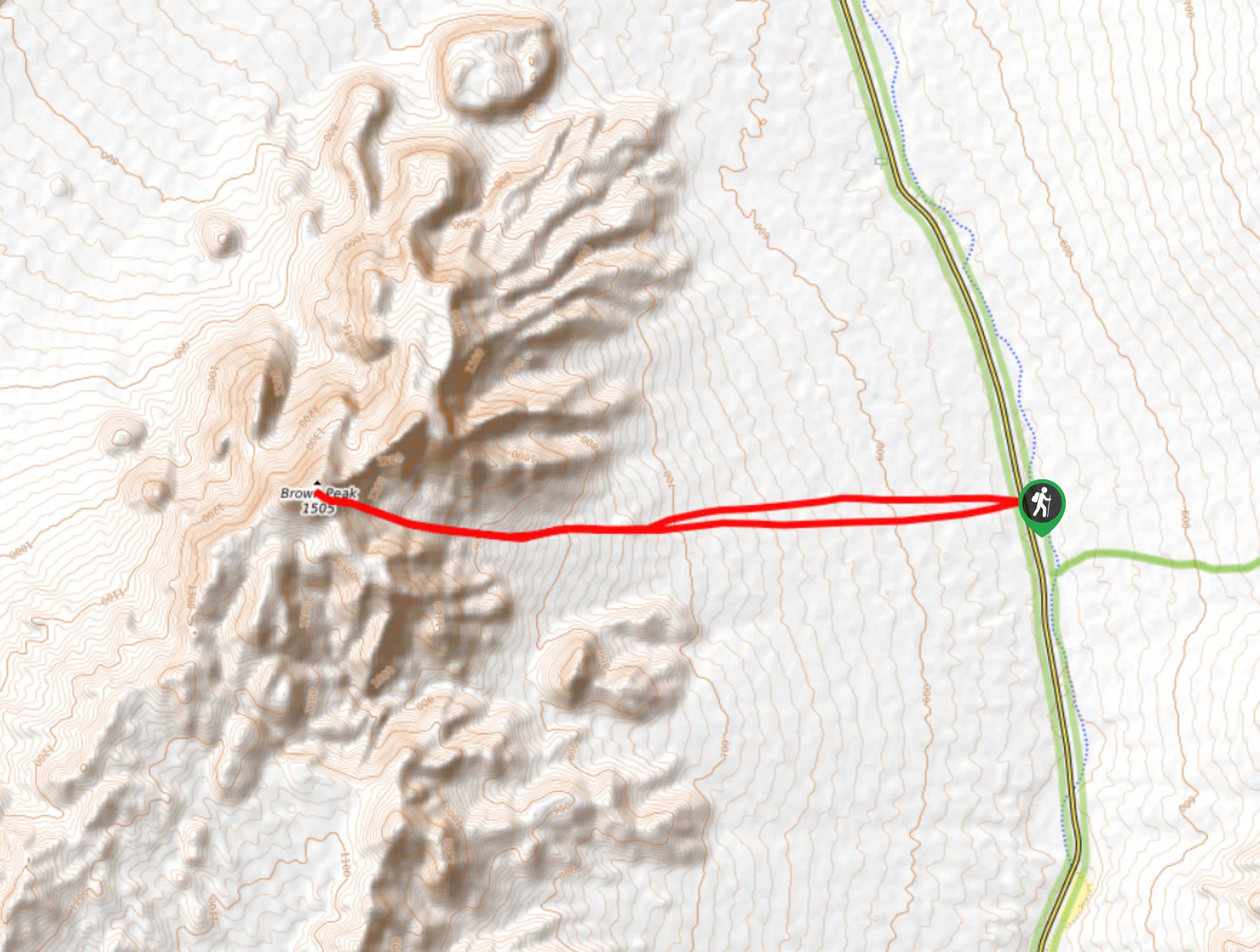
Brown Peak Trail
A longer route with a fair amount of elevation gain, the Brown Peak Trail should only be attempted by experienced…
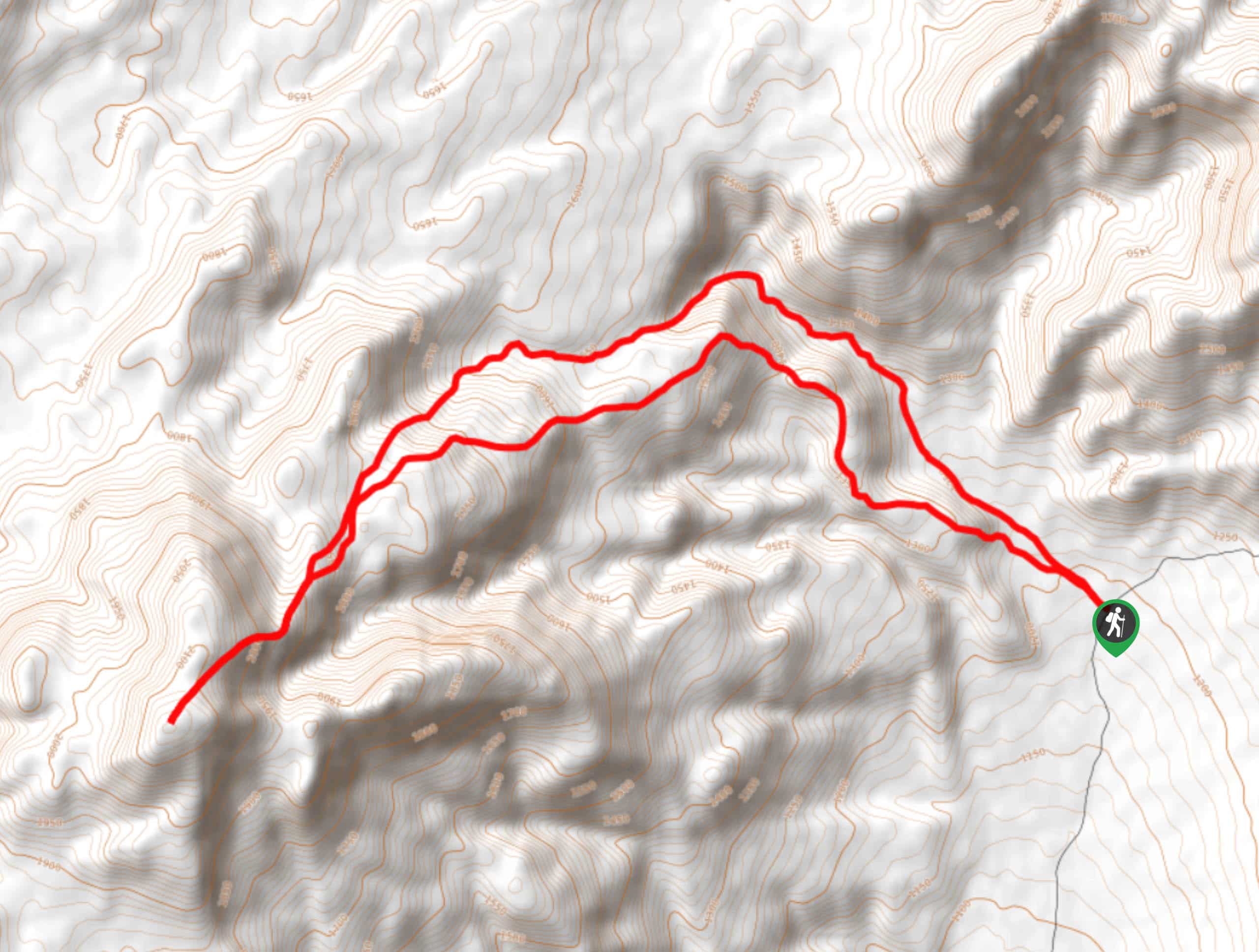
Saline Mountain Trail
A physically demanding but beautiful route, the Saline Mountain Trail is a must do for experienced hikers in Death Valley…
Lower Telephone Canyon Trail
A difficult route that leads to an incredible vista where panoramic views of the surrounding area can be enjoyed, the…
Comments