
Lower Telephone Canyon Trail
View Photos
Lower Telephone Canyon Trail
Difficulty Rating:
A difficult route that leads to an incredible vista where panoramic views of the surrounding area can be enjoyed, the Lower Telephone Canyon Trail is perfect for experienced hikers. Leading you through an imposing canyon and along stunning hillsides, the Lower Telephone Canyon Trail is well worth the effort for those willing to put the work in!
Getting there
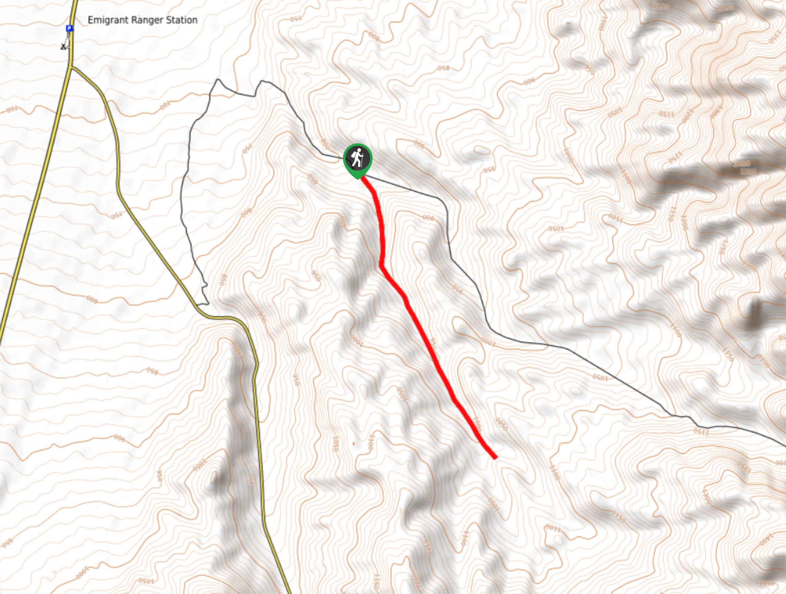
The trailhead for Lower Telephone Canyon Trail is located off of Tuck Mine Road.

About
| Backcountry Campground | No |
| When to do | October-May |
| Pets allowed | No |
| Family friendly | No |
| Route Signage | None |
| Crowd Levels | Low |
| Route Type | Out and back |
Lower Telephone Canyon Trail
Elevation Graph
Weather
Lower Telephone Canyon Trail Description
The access road to Lower Telephone Canyon Trail is along an unpaved dirt road, and therefore requires a vehicle capable of making it through such terrain. Likewise, as the Lower Telephone Canyon Trail is within the desert environment of Death Valley National Park, it is important you prepare yourself for the arid conditions. Make sure you bring lots of water, and wear sunscreen and a hat.
Having parked your vehicle along Tuck Mine Road, make your way south though the canyon adjacent to the roadside. As you traverse the canyon, the elevation will steadily incline as you continue on your southern heading. You will soon arrive at a saddle on your western side where, if you want, you can hike up a short distance to see Telephone Arch – a unique rock formation overlooking Lower Telephone Canyon.
Whether or not you decide to visit Telephone Arch, once passed the saddle, continue south through the canyon. Keep along your southern heading all the way until the canyon walls taper off slightly, and you arrive at a beautiful vista where views of the area can be enjoyed. Take this opportunity to enjoy the sightlines before backtracking your steps towards Tuck Mine Road, and your waiting vehicle.
Similar hikes to the Lower Telephone Canyon Trail hike
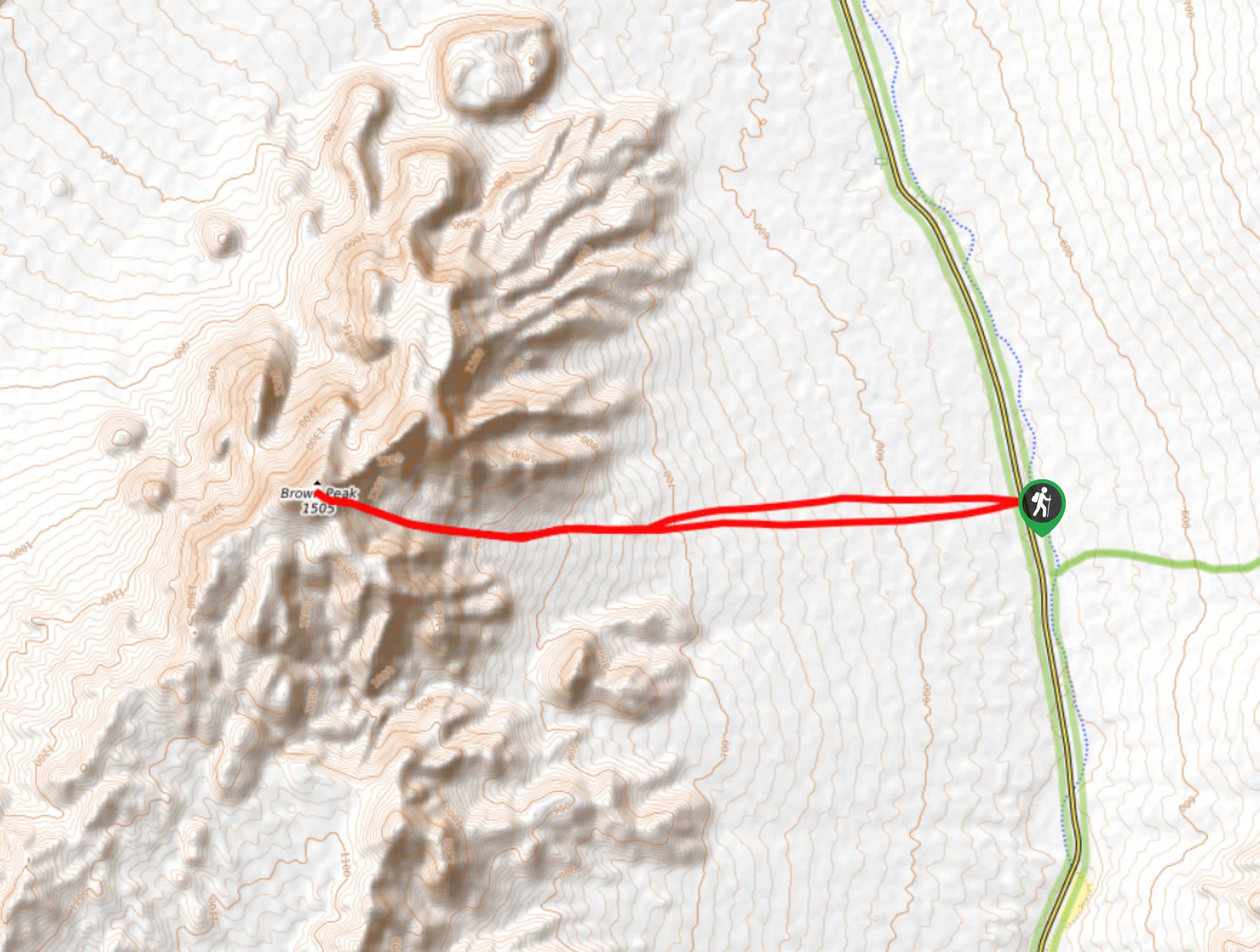
Brown Peak Trail
A longer route with a fair amount of elevation gain, the Brown Peak Trail should only be attempted by experienced…
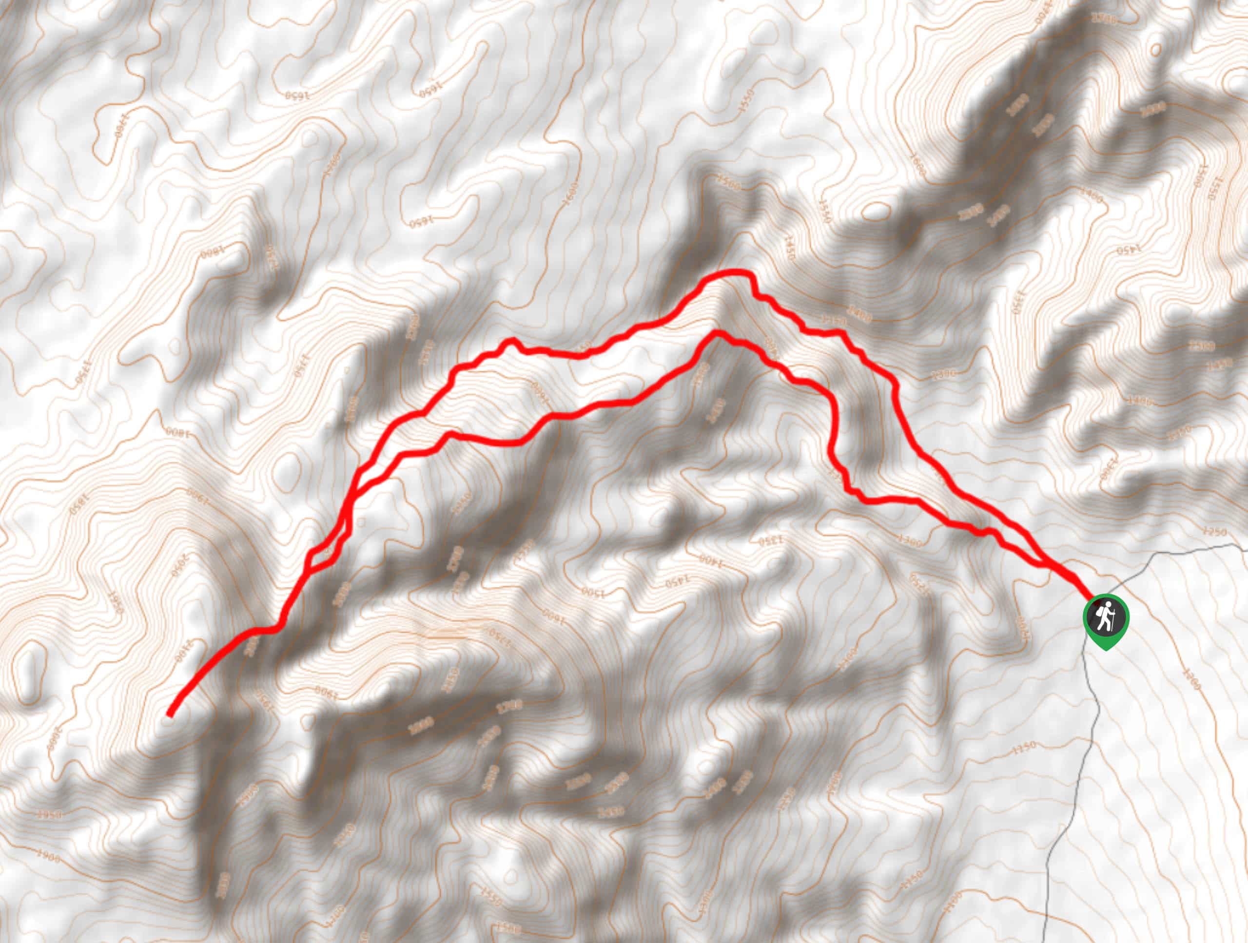
Saline Mountain Trail
A physically demanding but beautiful route, the Saline Mountain Trail is a must do for experienced hikers in Death Valley…
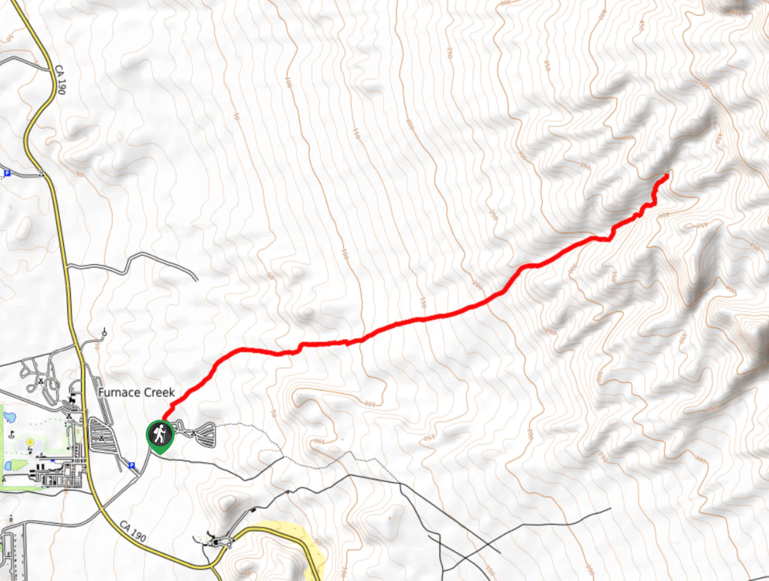
Funeral Canyon Trail
A longer route with a fair amount of elevation gain, Funeral Canyon Trail is a perfect route for the more…
Comments