
Saline Mountain Trail
View Photos
Saline Mountain Trail
Difficulty Rating:
A physically demanding but beautiful route, the Saline Mountain Trail is a must do for experienced hikers in Death Valley National Park. Taking you through imposing canyons and up stunning mountains, the Saline Mountain Trail possesses a variety of scenery that will keep you intrigued throughout its extent.
Getting there
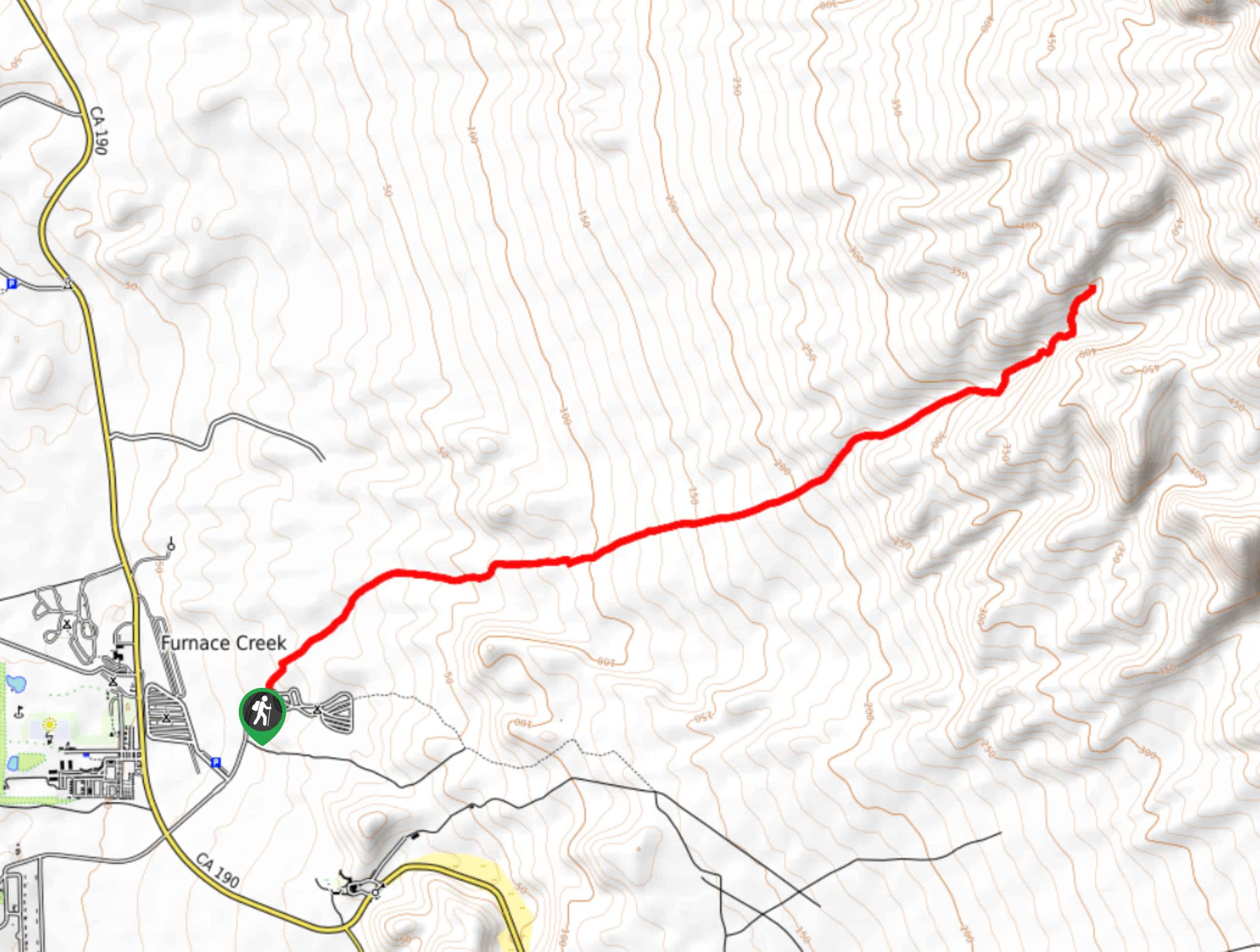
The trailhead for Saline Mountain Trail is located off of Steel Pass Road.

About
| Backcountry Campground | No |
| When to do | October-May |
| Pets allowed | No |
| Family friendly | No |
| Route Signage | None |
| Crowd Levels | Low |
| Route Type | Circuit |
Saline Mountain Trail
Elevation Graph
Weather
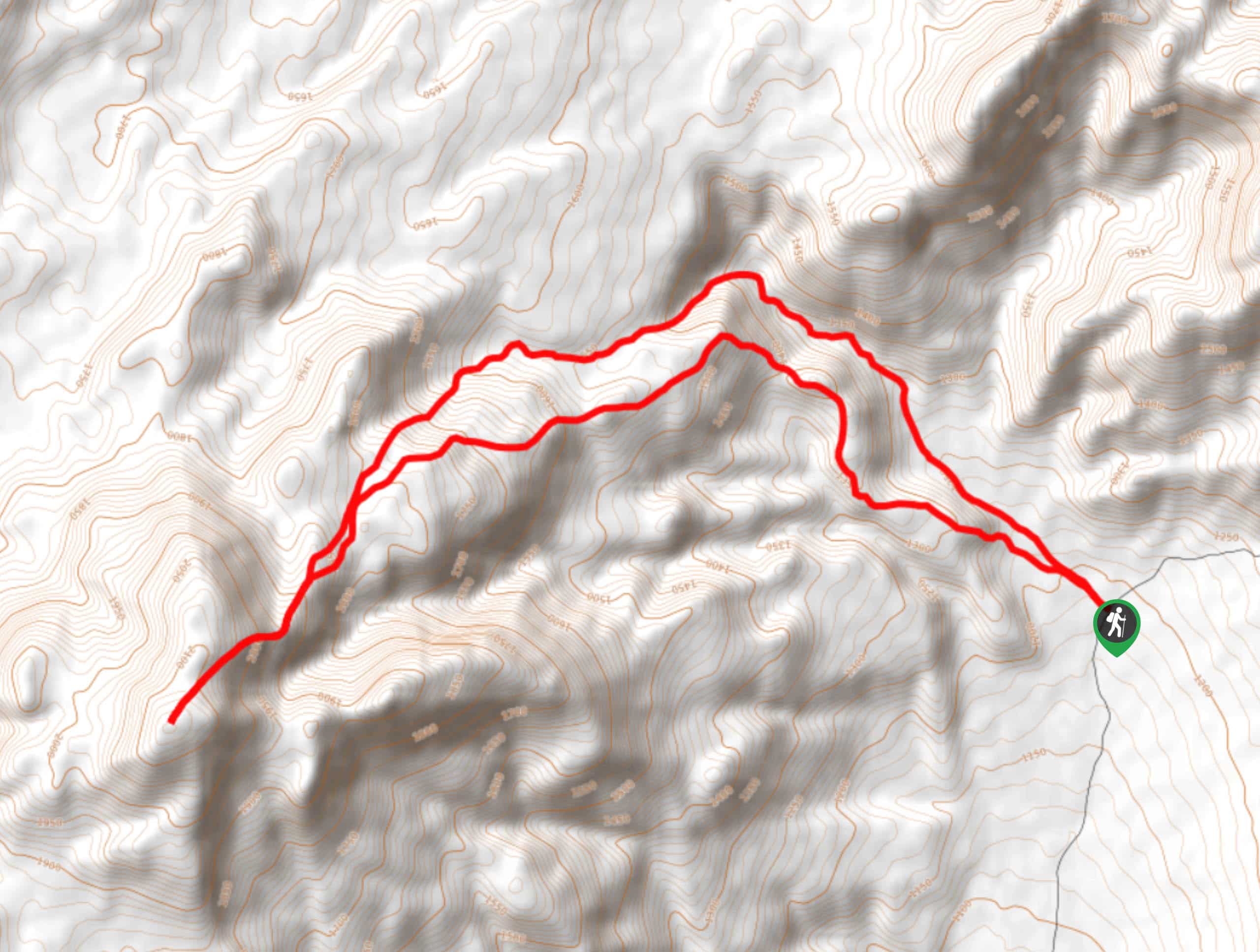
Saline Mountain Trail Description
The Saline Mountain Trail is not along designated Death Valley National Park pathways, and so care should be taken when attempting. We recommend bringing some sort of mapping aid with you to assist in wayfinding throughout the route. Likewise, the access road for the Saline Mountain Trail is along a dirt road that requires a four-wheel drive to make it up, so ensure your vehicle is adequate before attempting.
Having parked your vehicle along Steel Pass Road, make your way west towards the high ground. Follow a short but steep saddle up the craggy terrain until you reach a plateau. Follow the plateau northwest as it makes its way towards a second saddle. Having completed the incline of the second saddle, you will once again reach a plateau. At the plateau, the route veers sharply to the west before once again arriving at, and traversing a saddle.
With the saddle completed, the Peak of Saline Mountain will be visible in the foreground. Approach the peak by heading southwest and up a rather steep incline. With the incline completed, you will have arrived at Saline Mountain Peak. Enjoy the views before backtracking to the second of the three plateaus. Take the canyon on the northern side of the plateau down towards Steel Pass Road. Once you have exited the canyon, Steel Pass Road will be just a short hike away.
Similar hikes to the Saline Mountain Trail hike
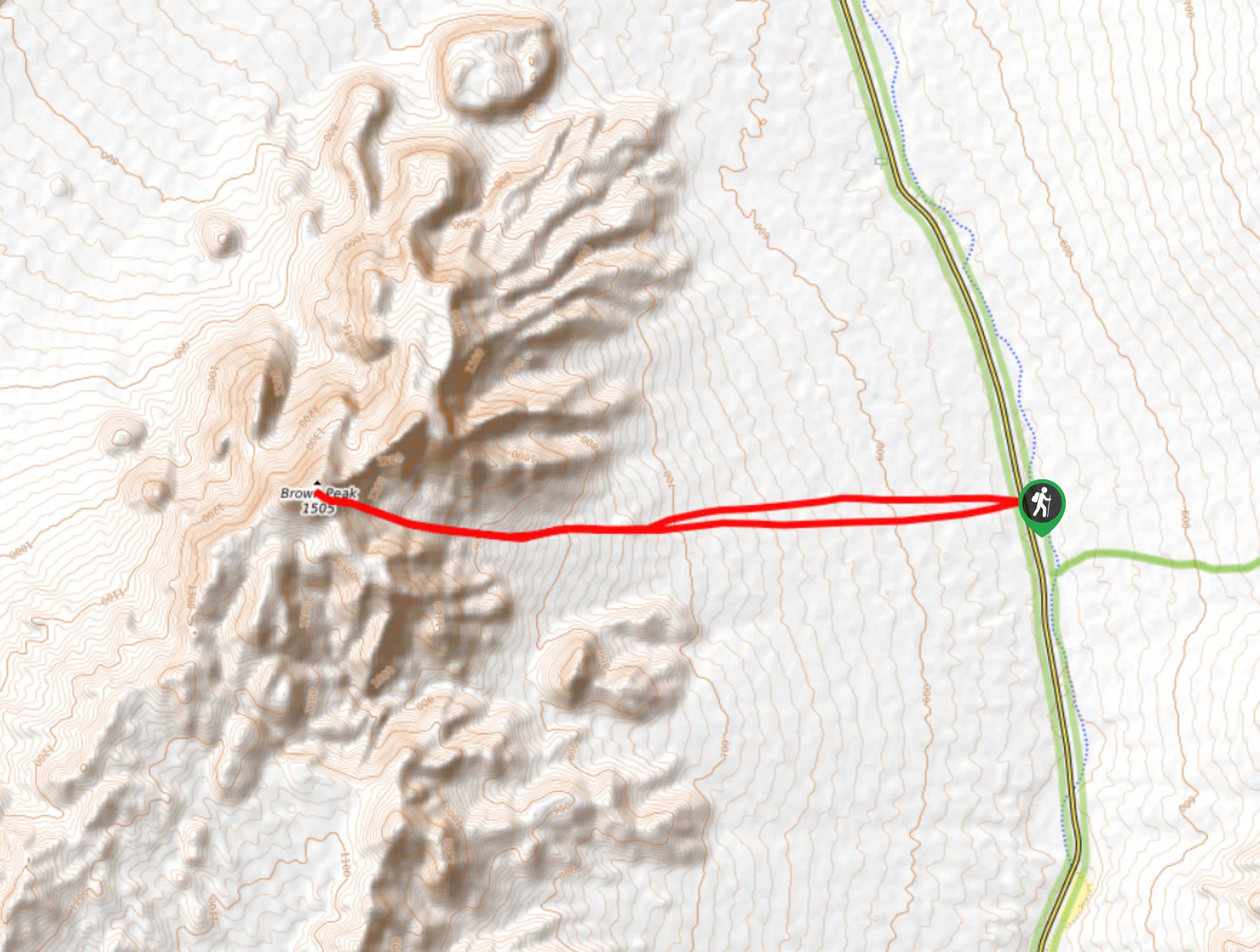
Brown Peak Trail
A longer route with a fair amount of elevation gain, the Brown Peak Trail should only be attempted by experienced…
Lower Telephone Canyon Trail
A difficult route that leads to an incredible vista where panoramic views of the surrounding area can be enjoyed, the…
Funeral Canyon Trail
A longer route with a fair amount of elevation gain, Funeral Canyon Trail is a perfect route for the more…
Comments