
Kaleidoscope Canyon Trail
View Photos
Kaleidoscope Canyon Trail
Difficulty Rating:
A beautiful route within Death Valley National Park, the Kaleidoscope Canyon Trail is a must do for those who love canyon hikes! Kaleidoscope Canyon is imposing in scale, and possesses an abundance of lovely colours owing to its geological makeup. If that wasn't enough, the route is also considered an excellent place to view wildlife.
Getting there
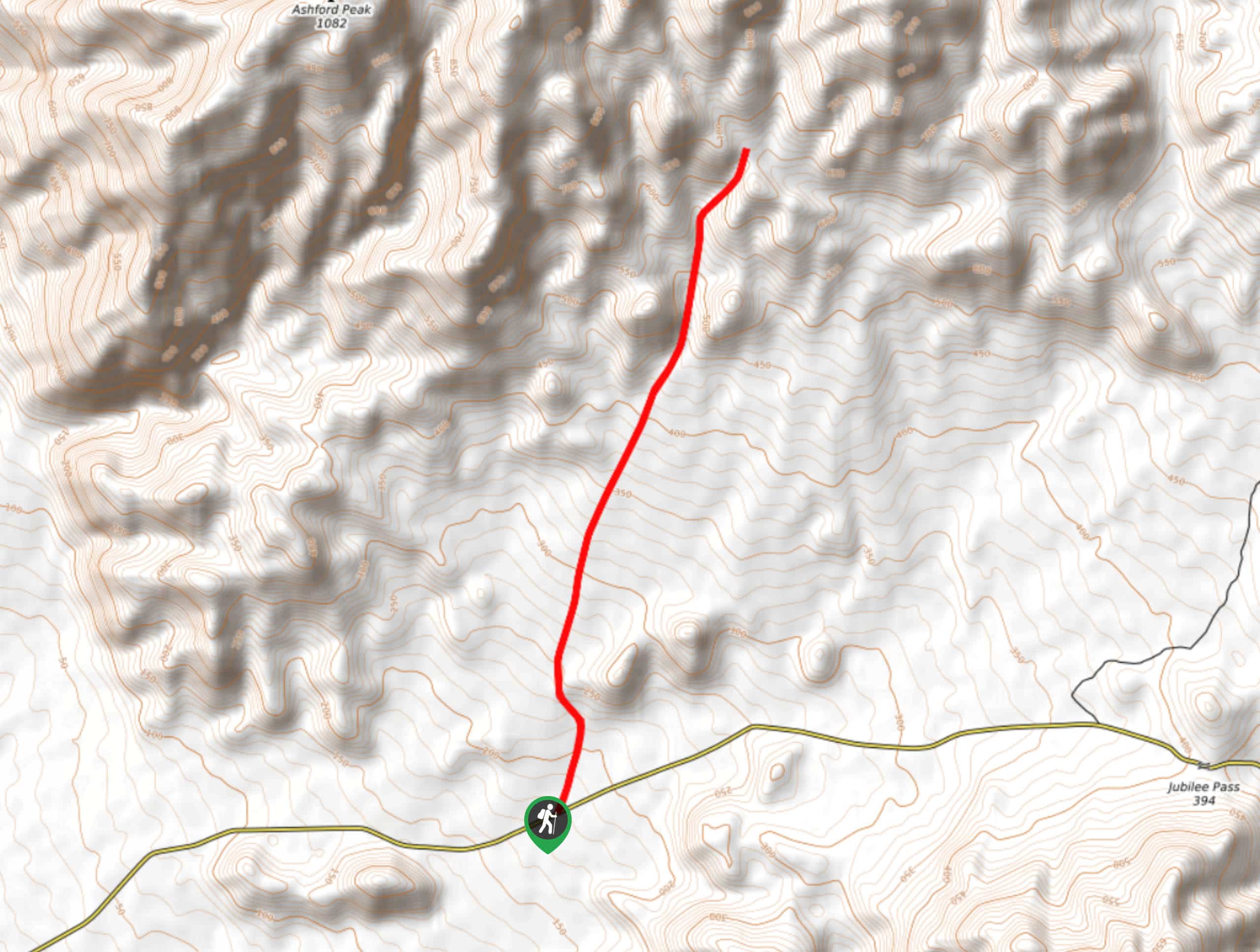
The trailhead for Kaleidoscope Canyon Trail is located off of Jubilee Pass Road.

About
| Backcountry Campground | No |
| When to do | October-May |
| Pets allowed | No |
| Family friendly | No |
| Route Signage | None |
| Crowd Levels | Low |
| Route Type | Out and back |
Kaleidoscope Canyon Trail
Elevation Graph
Weather
Kaleidoscope Canyon Trail Description
Kaleidoscope Canyon Trail is not along designated Death Valley National Park Trails, and so care should be taken when attempting. We strongly suggest bringing some sort of mapping tool with you to help with wayfinding throughout the route’s duration. As the Kaleidoscope Canyon Trail is also quite rocky, we suggest wearing a good pair of hiking shoes, and using hiking poles.
Having parked your vehicle along Jubilee Road, head north towards the highlands in the foreground. The terrain will be at a constant slight incline as you approach the highlands, and once you have made it to its base, follow it a few hundred feet further to the north.
You will soon arrive at the mouth of Kaleidoscope Canyon. Enter the canyon and continue traversing it, enjoying the scenery as you go. The terrain will continue to incline as you make your way through Kaleidoscope Canyon, before delivering you to a scenic vista. Once you have relished the sights of the vista, backtrack your steps towards Jubilee Road, and your waiting vehicle.
Similar hikes to the Kaleidoscope Canyon Trail hike
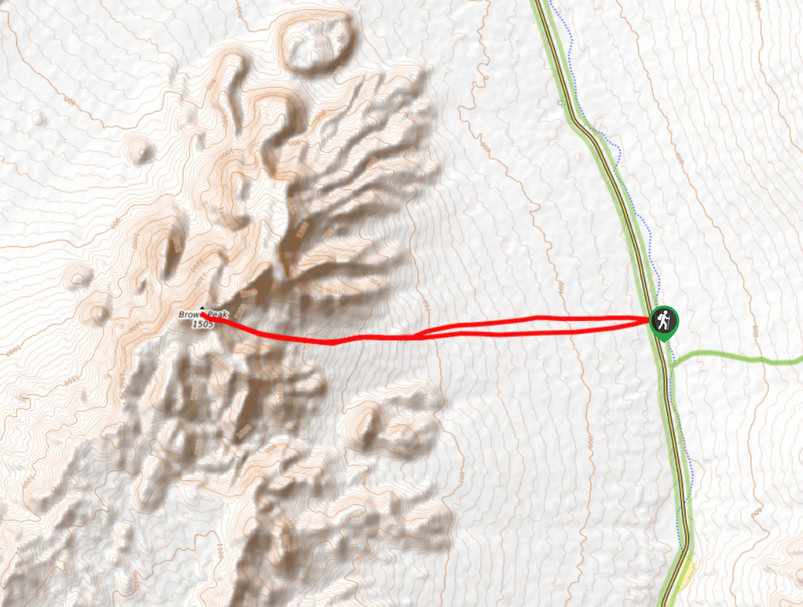
Brown Peak Trail
A longer route with a fair amount of elevation gain, the Brown Peak Trail should only be attempted by experienced…
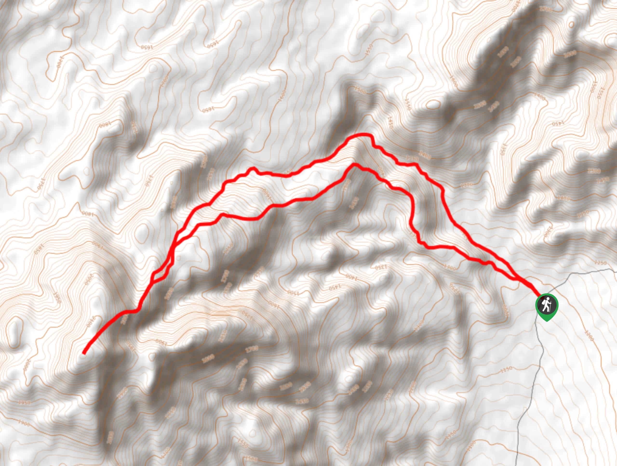
Saline Mountain Trail
A physically demanding but beautiful route, the Saline Mountain Trail is a must do for experienced hikers in Death Valley…
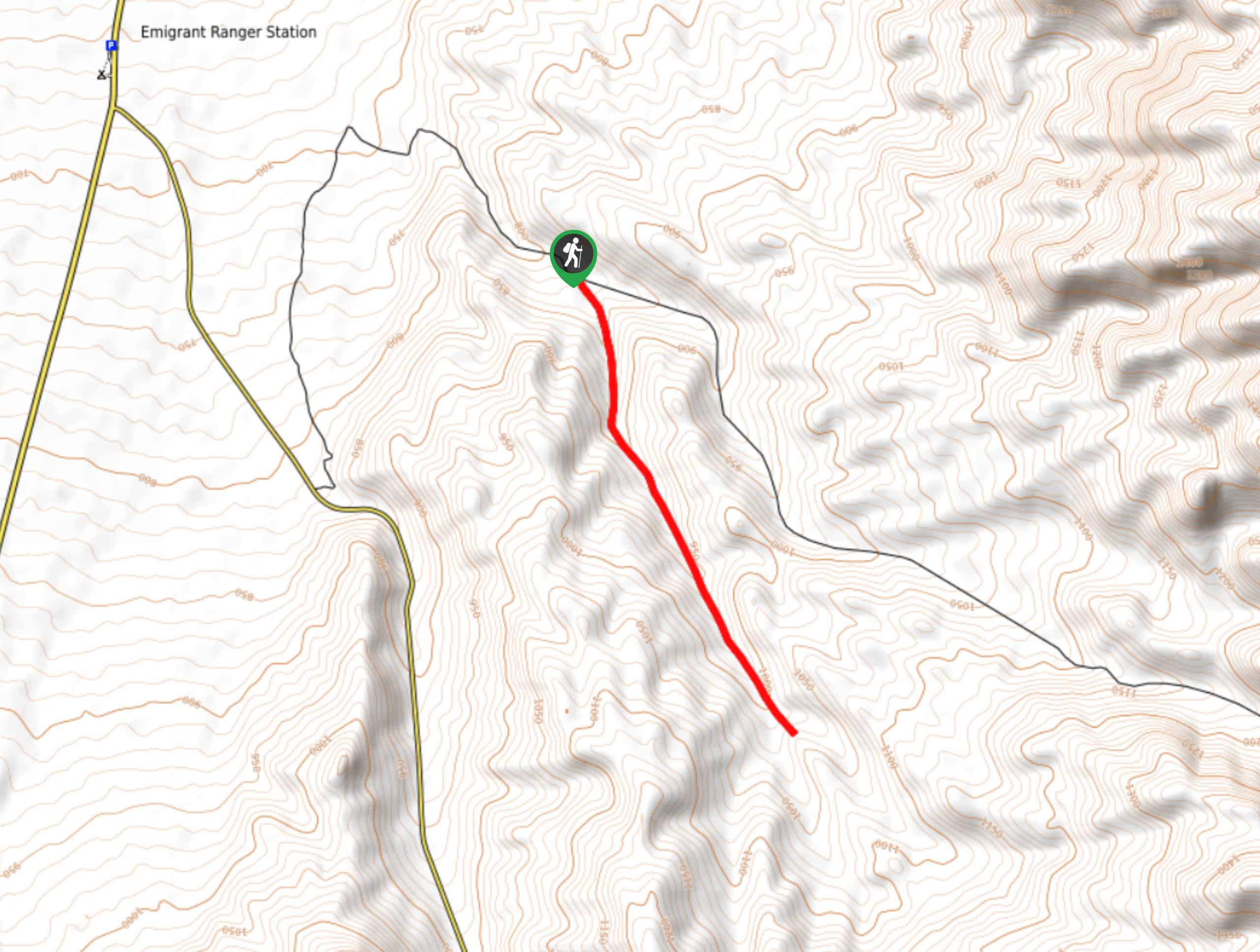
Lower Telephone Canyon Trail
A difficult route that leads to an incredible vista where panoramic views of the surrounding area can be enjoyed, the…
Comments