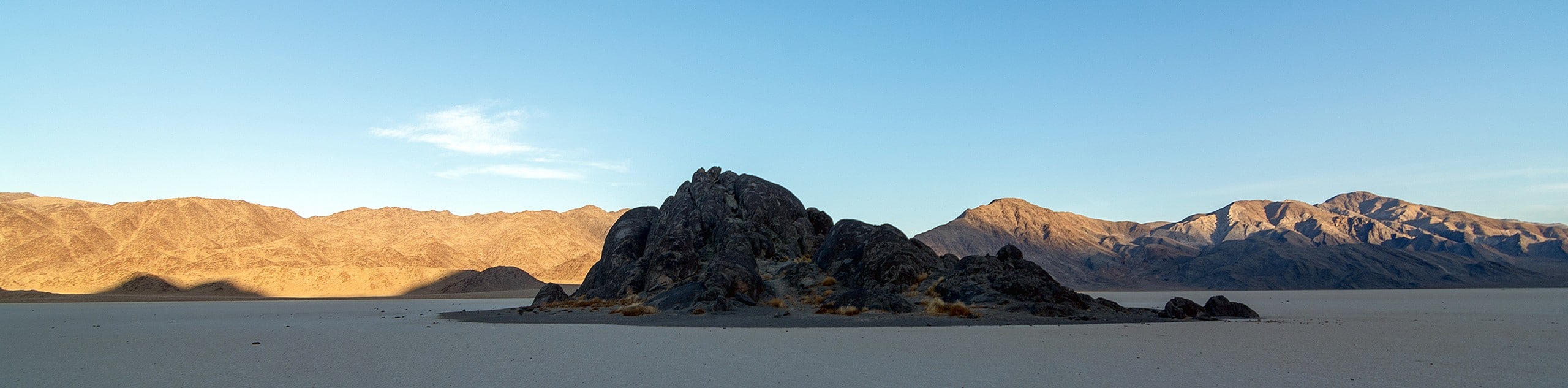
Zabriskie Point
View Photos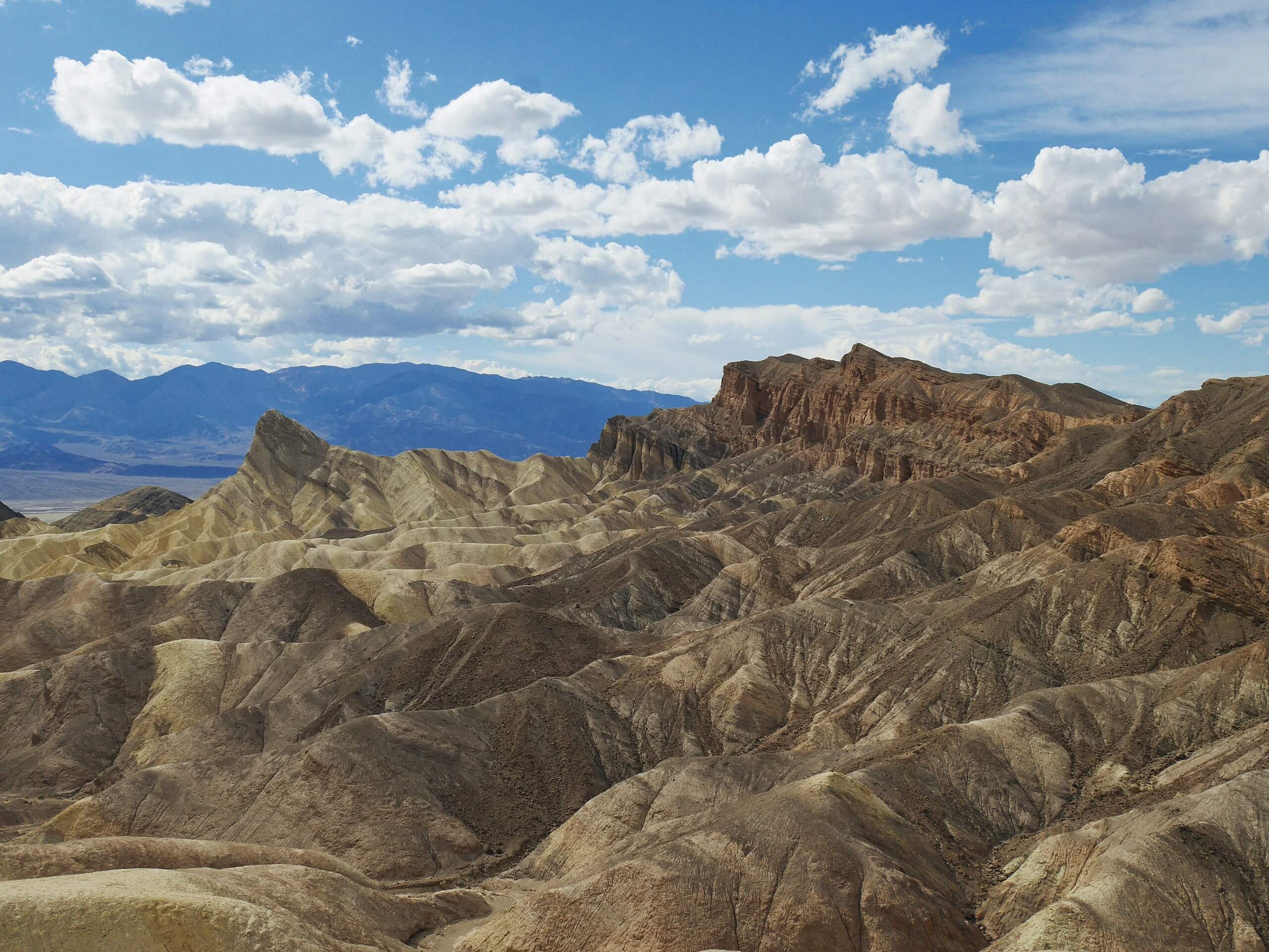
Zabriskie Point
Difficulty Rating:
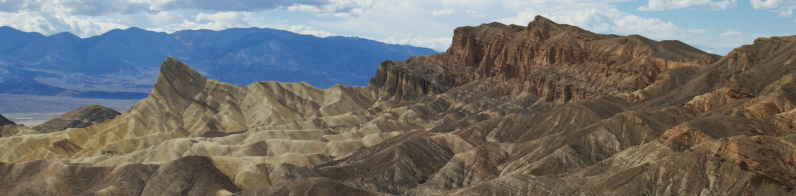
Boasting incredible views of the surrounding Death Valley National Park landscape, Zabriskie Point is an excellent route choice for those who want to enjoy amazing scenery without having to exert themselves too much. A short and relatively flat route, the Zabriskie Point path is both stroller and wheelchair accessible.
Getting there
The trailhead for Zabriskie Point is located at a parking lot off of Highway 190, in Death Valley National Park.

About
| Backcountry Campground | No |
| When to do | Year round |
| Pets allowed | No |
| Family friendly | Yes |
| Route Signage | Average |
| Crowd Levels | High |
| Route Type | Out and back |
Zabriskie Point
Elevation Graph
Weather
Zabriskie Point Description
The Zabriskie Point route is a popular spot in Death Valley National Park, and can therefore become rather crowded at times. Because of this, those seeking a more secluded hiking experience may want to skip Zabriskie Point in favor of a less frequented route. It is also important to remember that Zabriskie Point is within the desert environment of Death Valley National Park, and so it is essential you prepare yourself for the conditions accordingly. Make sure you bring lots of water with you, and that you wear a hat along with plenty of sunscreen.
With clear sightlines of many of the spectacular mountain ranges and valleys sprawling Death Valley National Park, Zabriskie Point is regarded as one of the best lookouts within the park. A great place to see both sunsets and sunrises, Zabriskie Point’s scenery will not leave you disappointed.
Not only is the Zabriskie Point route incredibly beautiful, it is also very straightforward. Once you have arrived at the trailhead, simply follow the paved pathway west towards the lookout. After gaining a small amount of elevation, the trail will end, and magnificent views can be enjoyed. Once you have gotten your fill of the scenery, simply turn around and backtrack your steps towards the trailhead.
Frequently Asked Questions
How did Zabriskie Point get its name?
Zabriskie Point was named after vice-president and general manager of the Pacific Coast Borax Company, Christian Brevoort Zabriskie. Zabriskie’s company was a large player in Death Valley’s industrial development in the early 20th century, and therefore the point was named after him to honour the work he had done.
How was Zabriskie Point formed?
Zabriskie Point’s characteristic aesthetic was formed by flash floods. With the ground being made up mostly of mudstone, the large but periodic rainstorms seen within Death Valley National Park eroded Zabriskie Point and its surrounding area into steep slopes and gullies.
Insider Hints
Consider visiting Zabriskie Point earlier in the mourning or later in the evening in order to avoid the midday heat!
Zabriskie Point is an excellent place for stargazing.
Bring your camera! You'll want to capture the views.
Similar hikes to the Zabriskie Point hike
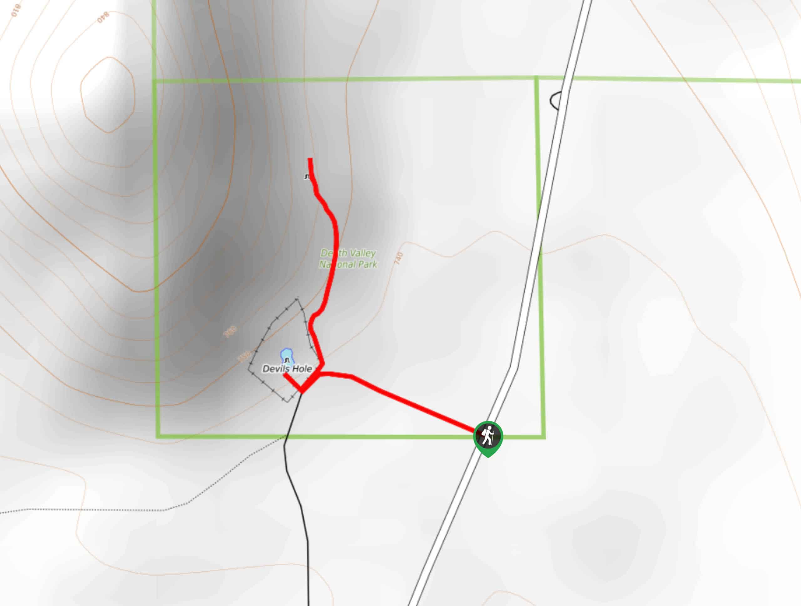
Devil’s Hole Overlook
An excellent route for families with young children and those looking for a more casual hiking experience, the Devil’s Hole…
Zabriskie Point and Gower Gulch Path Loop
Short in distance and with relatively little elevation incline, the Zabriskie Point and Gower Gulch Path Loop is ideal for…
The Grandstand via Racetrack Trail
A short trail that is not too physically demanding, The Grandstand via Racetrack Trail is an excellent route for beginner…
Comments