Golden Canyon and Gower Gulch Loop via Zabriskie Point
View Photos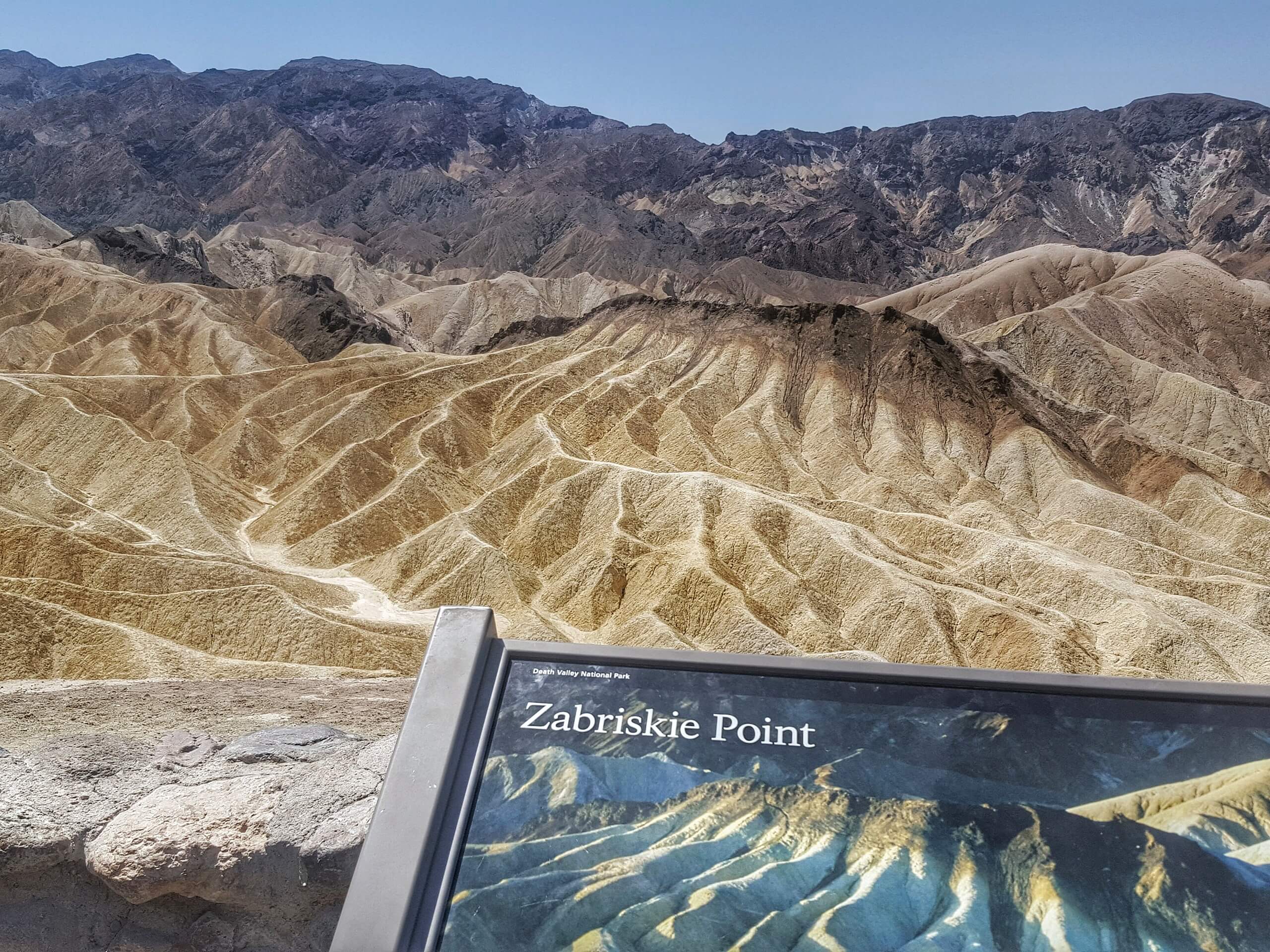
Golden Canyon and Gower Gulch Loop via Zabriskie Point
Difficulty Rating:
The Golden Canyon and Gower Gulch Loop via Zabriskie Point hike is a moderately difficult route that is ideal for intermediate hikers and families with older children. Regarded as an excellent route for wildlife viewing, the Golden Canyon and Gower Gulch Loop via Zabriskie Point hike will not leave you disappointed.
Getting there
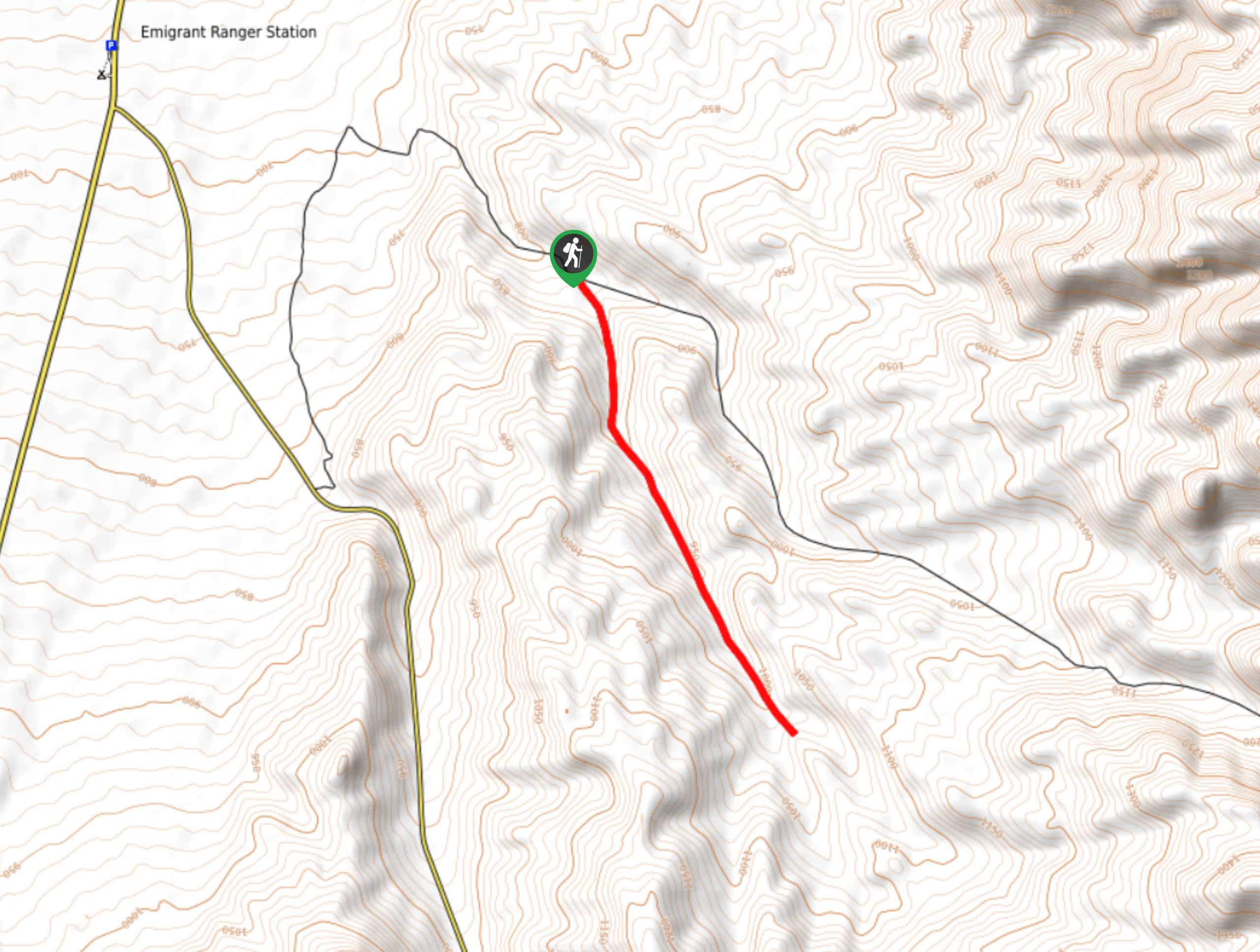
The trailhead for Golden Canyon and Gower Gulch Loop via Zabriskie point is located off of Highway 190.

About
| Backcountry Campground | Texas Springs Campground |
| When to do | November-April |
| Pets allowed | No |
| Family friendly | Older Children only |
| Route Signage | Average |
| Crowd Levels | High |
| Route Type | Circuit |
Golden Canyon and Gower Gulch Loop via Zabriskie Point
Elevation Graph
Weather
Golden Canyon and Gower Gulch Loop via Zabriskie Point Description
Due to both its length and fair amount of elevation incline, the Golden Canyon and Gower Gulch Loop via Zabriskie Point Trail is likely not appropriate for beginner hikers and families with young children. The route is also within the arid desert environment of Death Valley National Park, and so it is important that you prepare yourself for the conditions. Wear sunscreen and a hat, and be sure to drink plenty of water.
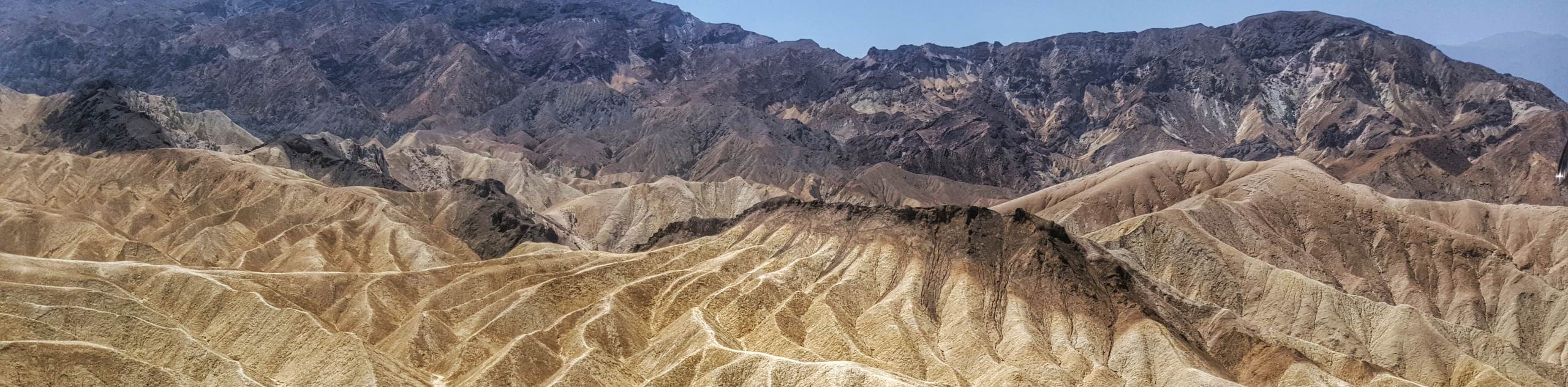
Having arrived at the trailhead, follow the path west where you will almost immediately arrive at a junction within the trail. Take the southernmost path as it heads west, passing the scenic Zabriskie Point. Hiking down the hillside, the route will then arrive at a plateau where you will meet back up with the designated path once again. Here, you will take Gower Gulch Path southwest, over steadily inclining terrain that will eventually deliver you to a large canyon.
Follow Gower Gulch Path through the canyon before it brings you to a plateau, and veers to the north. Passing alongside the highlands to your east, the trail will continue north before heading east on Golden Canyon Trail through another canyon. Stay on this trail until you reach the impressive rock formation of Red Cathedral, where you will take the southernmost pathway at the junction. Having passed both Red Cathedral and Manly Beacon, the trail will bring you back to the parking lot.
Similar hikes to the Golden Canyon and Gower Gulch Loop via Zabriskie Point hike
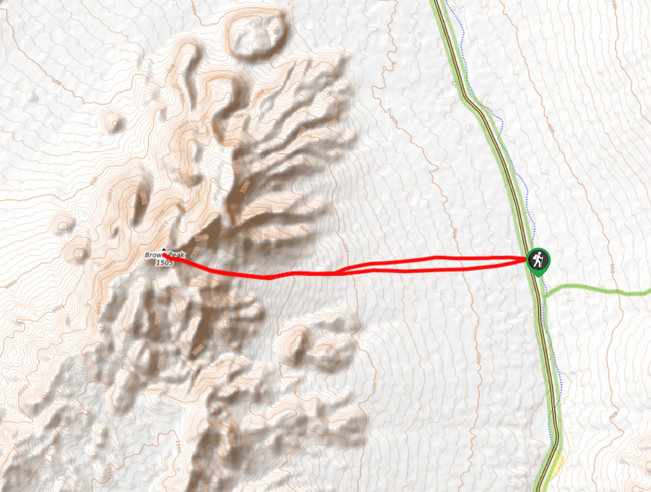
Brown Peak Trail
A longer route with a fair amount of elevation gain, the Brown Peak Trail should only be attempted by experienced…
Saline Mountain Trail
A physically demanding but beautiful route, the Saline Mountain Trail is a must do for experienced hikers in Death Valley…
Lower Telephone Canyon Trail
A difficult route that leads to an incredible vista where panoramic views of the surrounding area can be enjoyed, the…
Comments