Manly Beacon via Zabriskie Point and Gower Gulch Trail
View PhotosManly Beacon via Zabriskie Point and Gower Gulch Trail
Difficulty Rating:
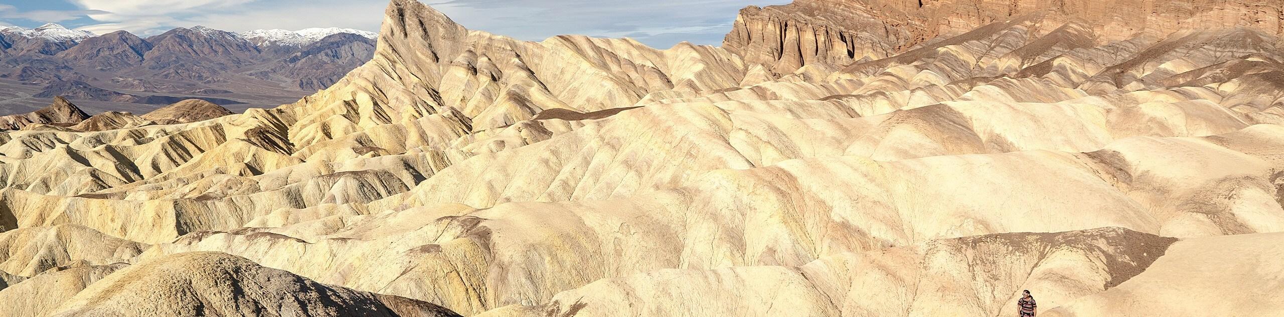
Passing the stunning geological formation of Manly Beacon, the Manly Beacon via Zabriskie Point and Gower Gulch Trail is an excellent choice for your next hike in Death Valley National Park! A moderately difficult route, the Manly Beacon via Zabriskie Point and Gower Gulch Trail is ideal for intermediate hikers.
Getting there
The trailhead for Manly Beacon via Zabriskie Point and Gower Gulch Trail is located off of Highway 190.

About
| Backcountry Campground | Texas Springs Campground |
| When to do | November-April |
| Pets allowed | No |
| Family friendly | Older Children only |
| Route Signage | Average |
| Crowd Levels | Moderate |
| Route Type | Lollipop |
Manly Beacon via Zabriskie Point and Gower Gulch Trail
Elevation Graph
Weather
Manly Beacon via Zabriskie Point and Gower Gulch Trail Description
When traveling within Death Valley National Park, it is important to remember that the environmental conditions are arid and hot. It is therefore essential that you prepare yourself adequately. Make sure you drink plenty of water, and wear both sunscreen and a hat to help protect yourself from the effects of the sun.
With your vehicle parked at the lot, follow Zabriskie Point Trail west. You will soon arrive at a junction within the trail, where you take the southernmost path onto Gower Gulch Path. The Gower Gulch Path inclines steadily as it makes its way west before arriving at another junction in the trail. At the junction, take the northern pathway as it continues to incline in elevation.
After a short distance, you will arrive at another junction, where you will take the northern route. Manly Beacon will be visible in the foreground as you follow the route northwest. Once you have arrived at Manly Beacon, take you time and enjoy the views of this incredible geological formation! When you’re ready, backtrack your steps towards the last trail junction you passed, and take the eastern pathway. Once on this path, simply continue along it, and it will bring you all the way back to the parking lot, where your vehicle will be waiting.
Similar hikes to the Manly Beacon via Zabriskie Point and Gower Gulch Trail hike
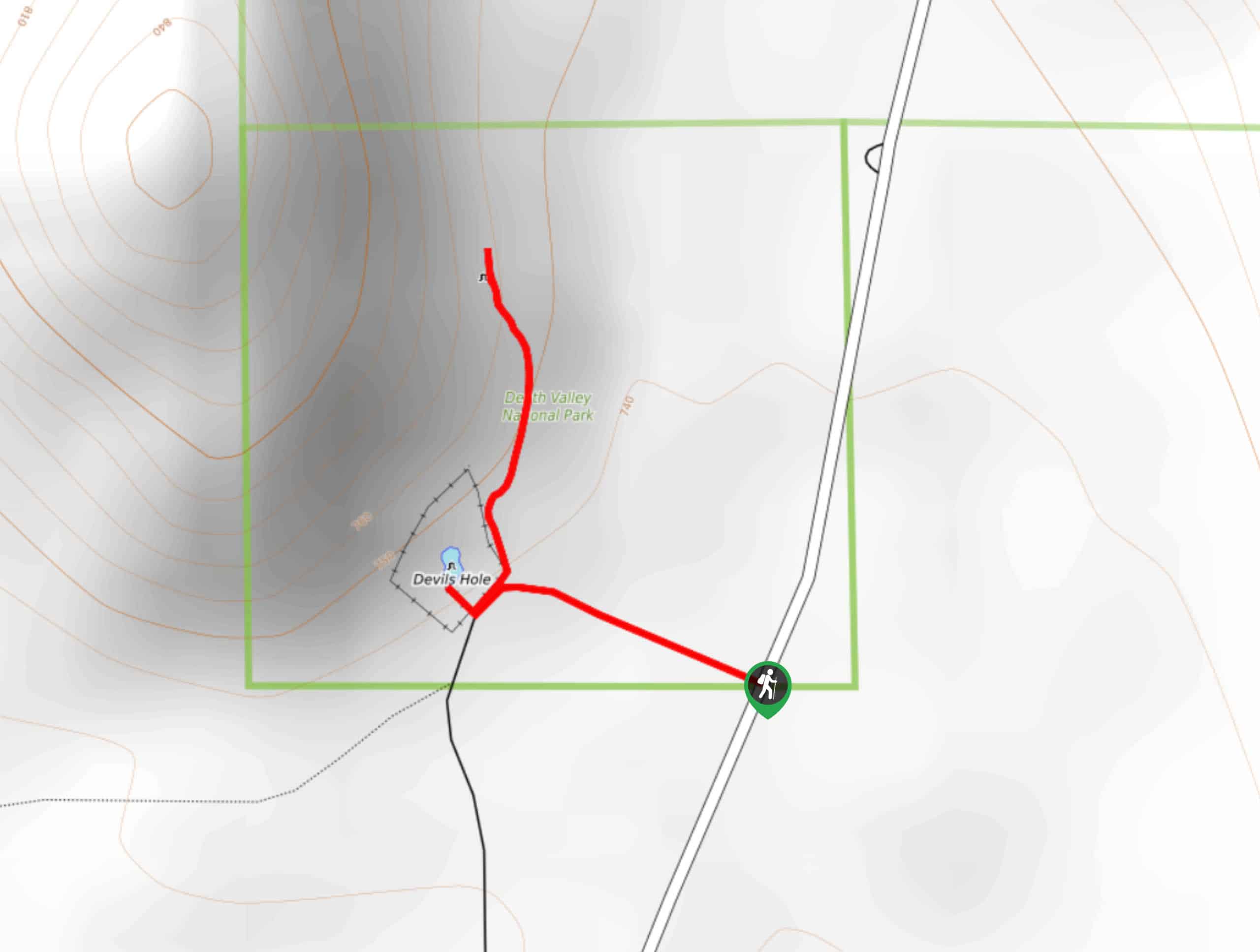
Devil’s Hole Overlook
An excellent route for families with young children and those looking for a more casual hiking experience, the Devil’s Hole…
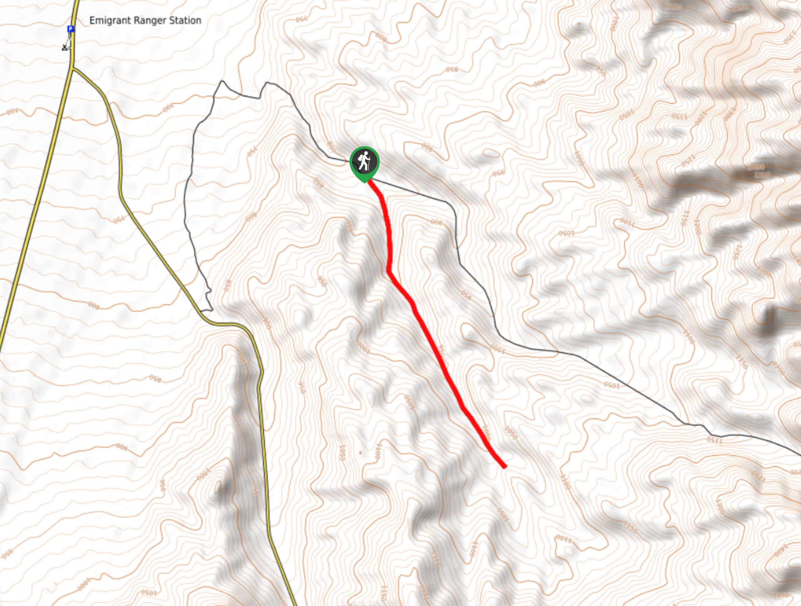
Lower Telephone Canyon Trail
A difficult route that leads to an incredible vista where panoramic views of the surrounding area can be enjoyed, the…
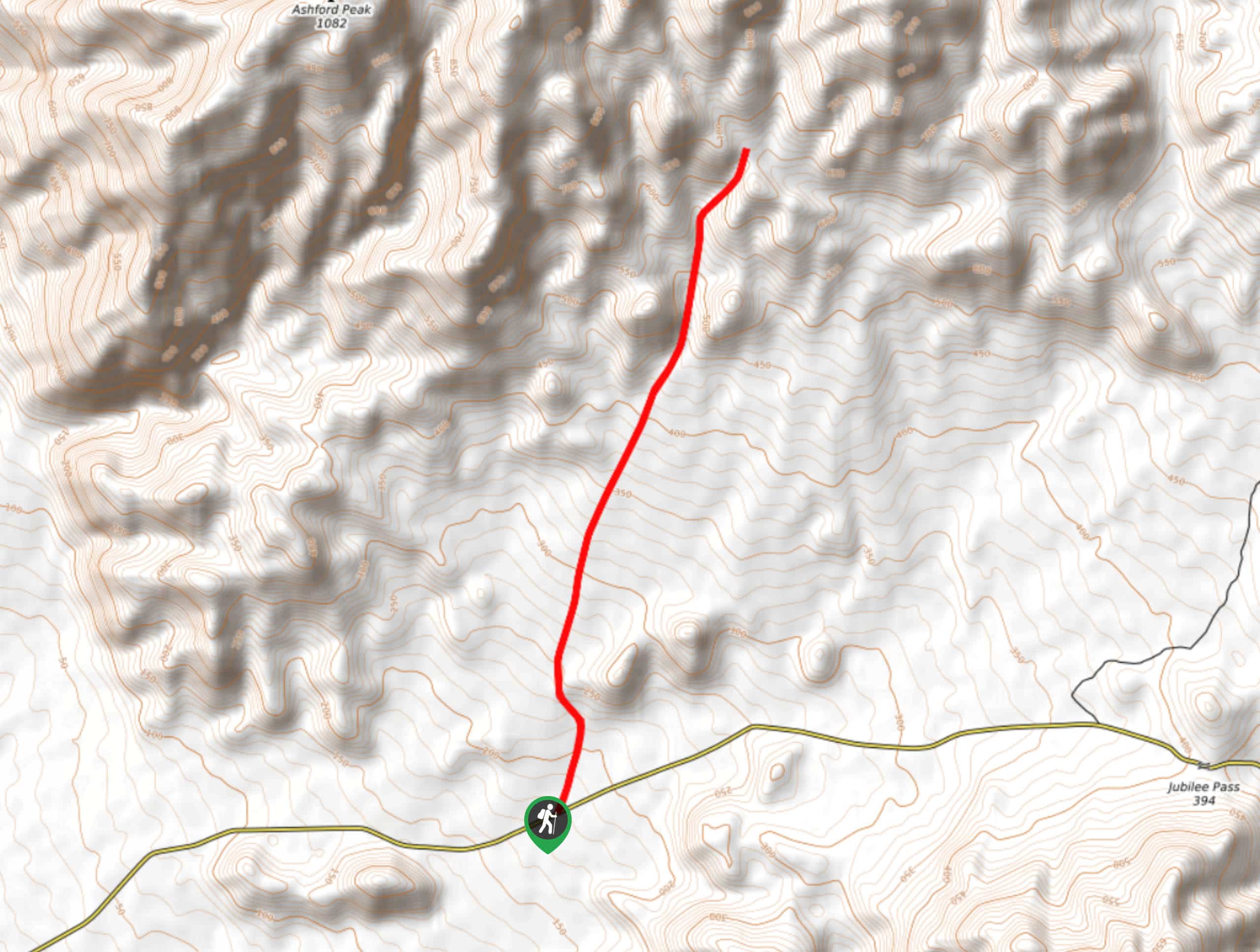
Kaleidoscope Canyon Trail
A beautiful route within Death Valley National Park, the Kaleidoscope Canyon Trail is a must do for those who love…
Comments