hikes in Los Padres National Forest
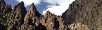
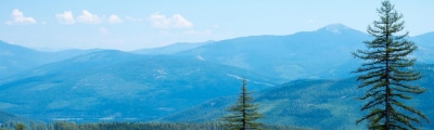
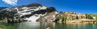
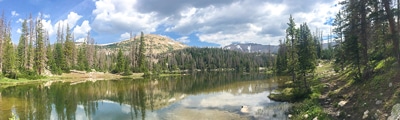
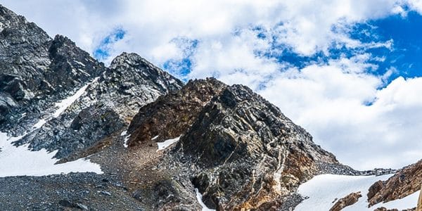
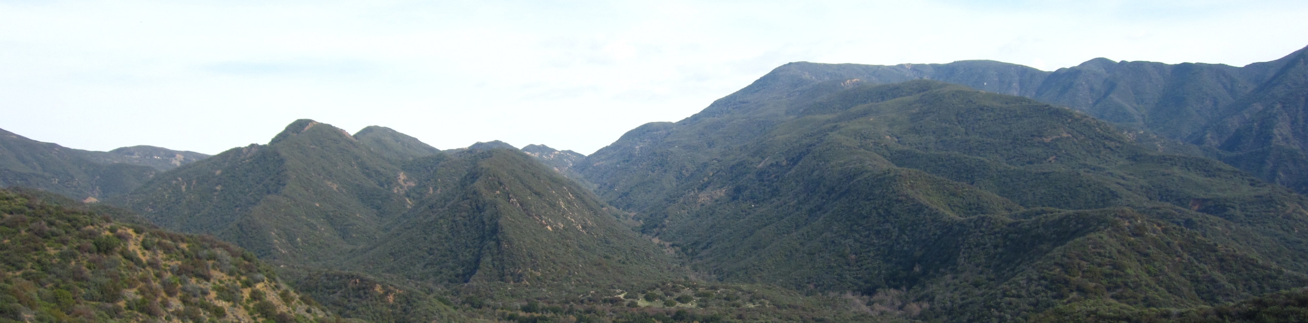
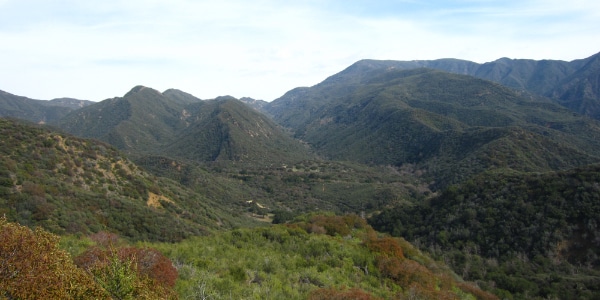
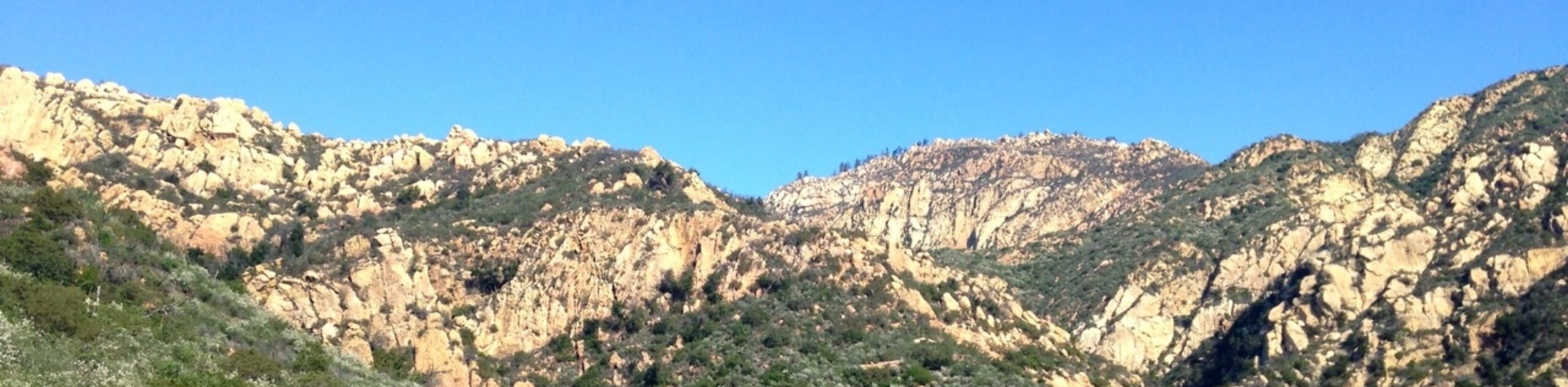
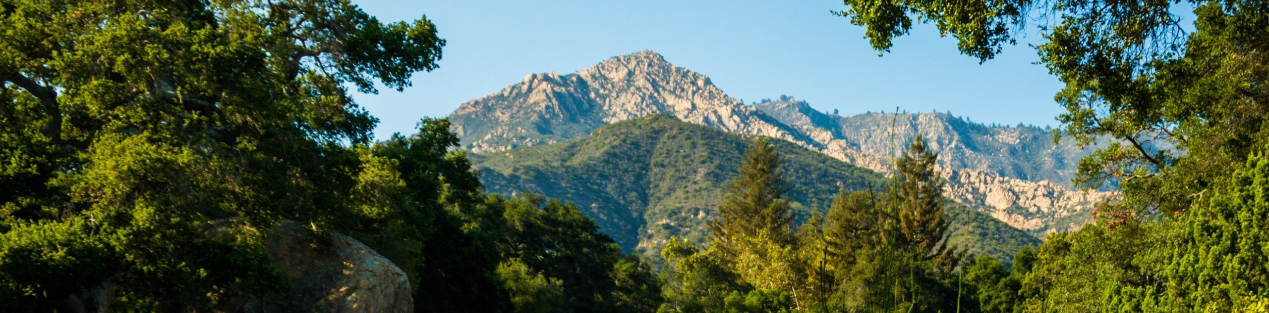
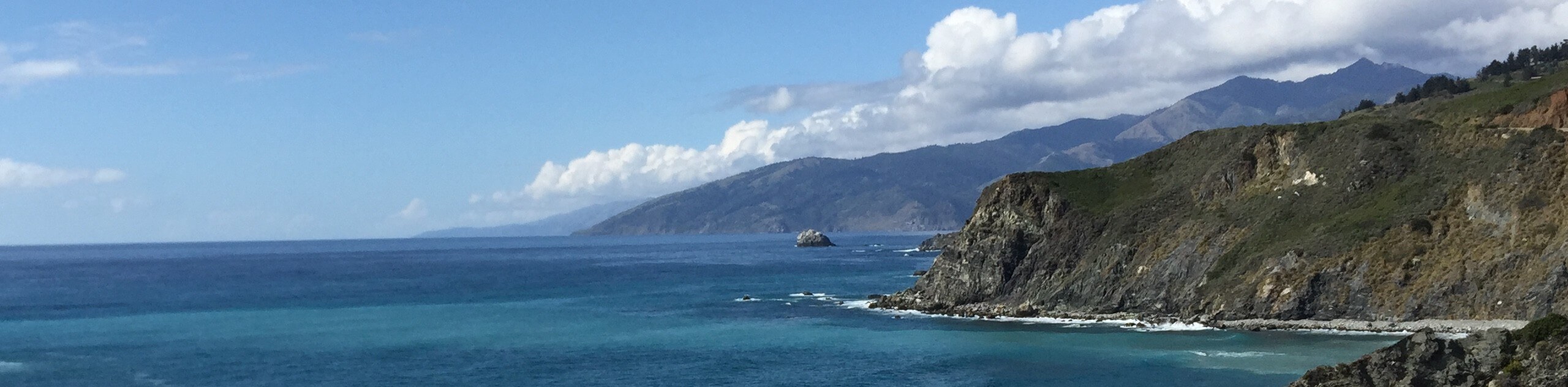
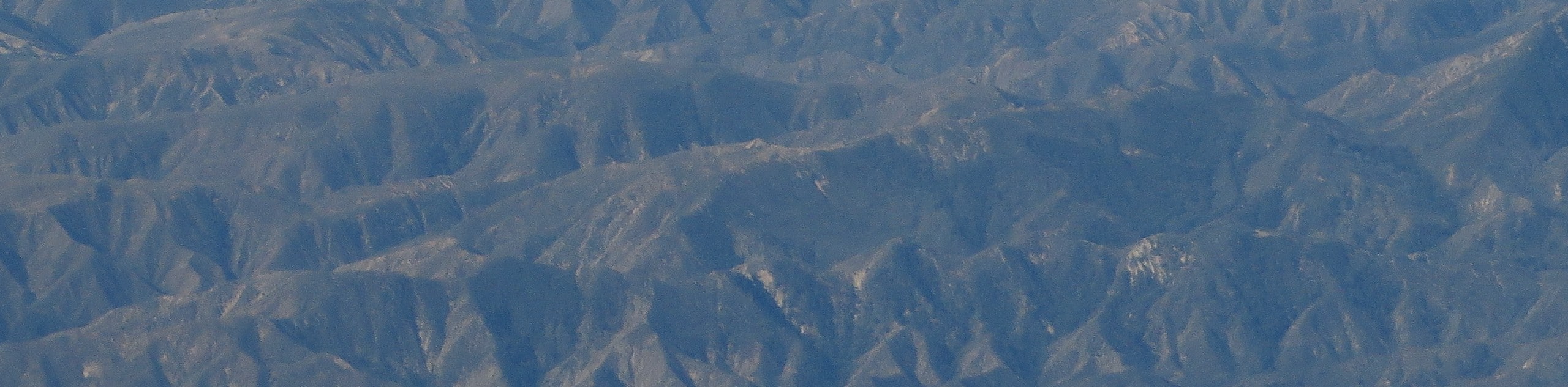
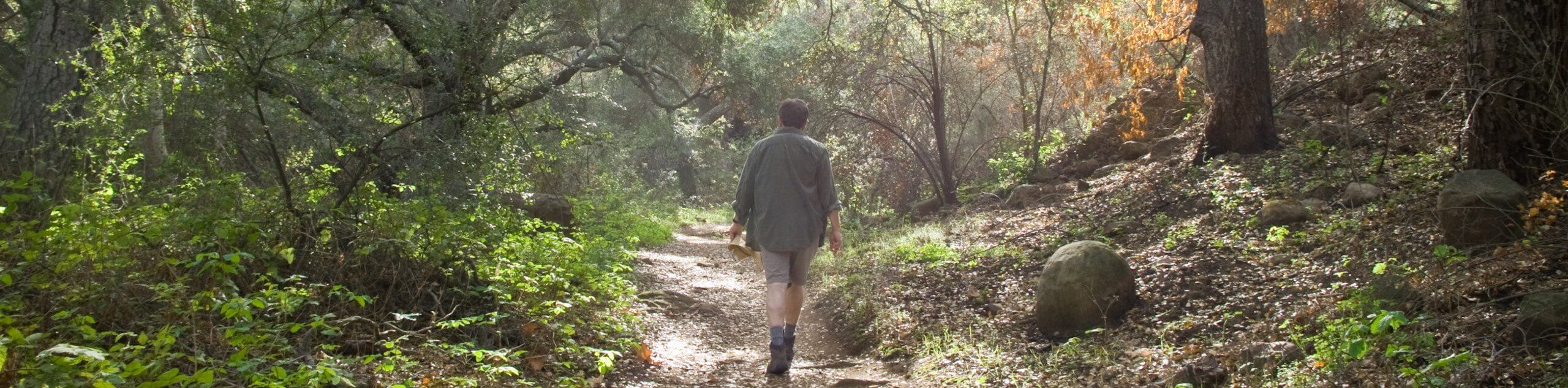
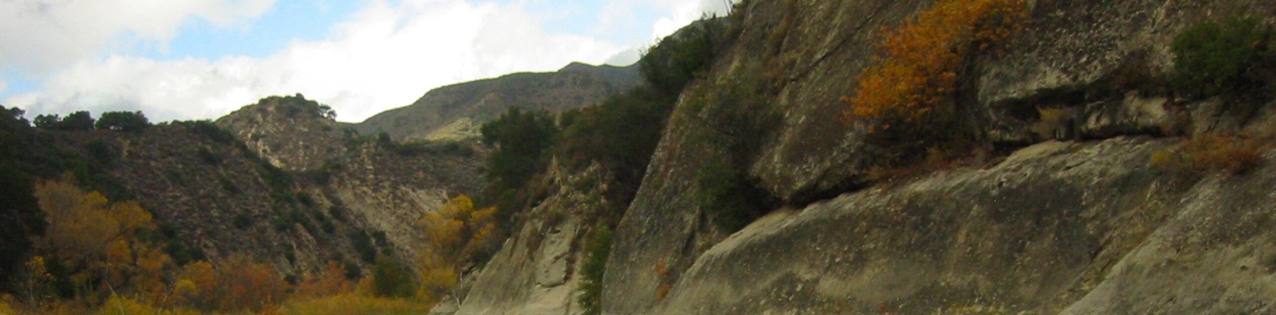
The Los Padres National Forest is an amazing area of topographic diversity and beauty awaiting your exploration. The second-largest national forest in California, Los Padres, occupies the coast and Transverse Ranges, offering hundreds of amazing trails. Explore the acres and acres of untouched backcountry, rugged coastline, and pristine beaches. There is no better way to appreciate the unparalleled beauty of the Californian coast than by exploring the Los Padres National Forest.
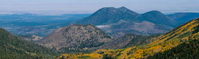
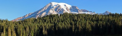
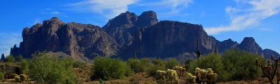
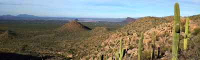
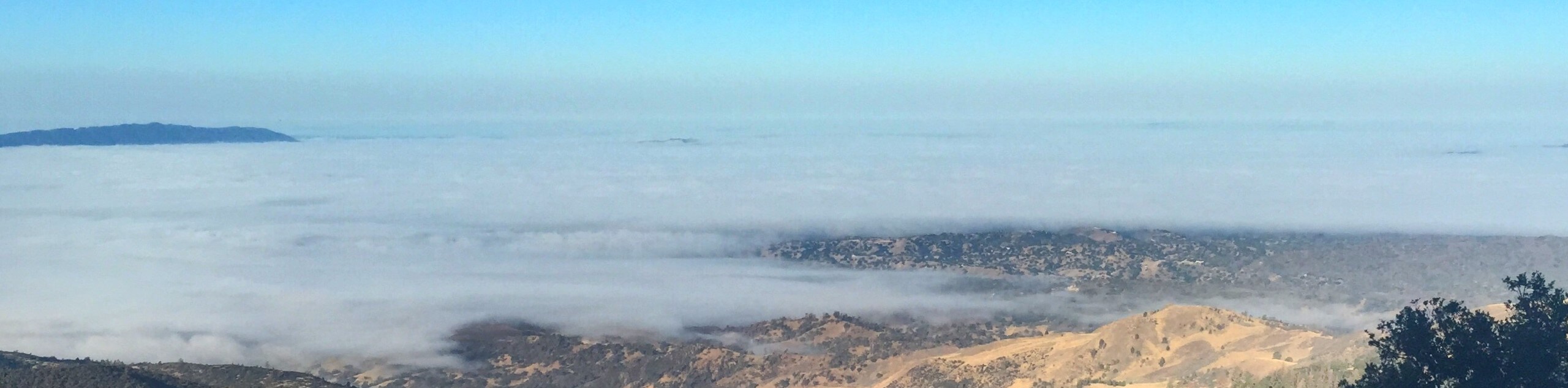
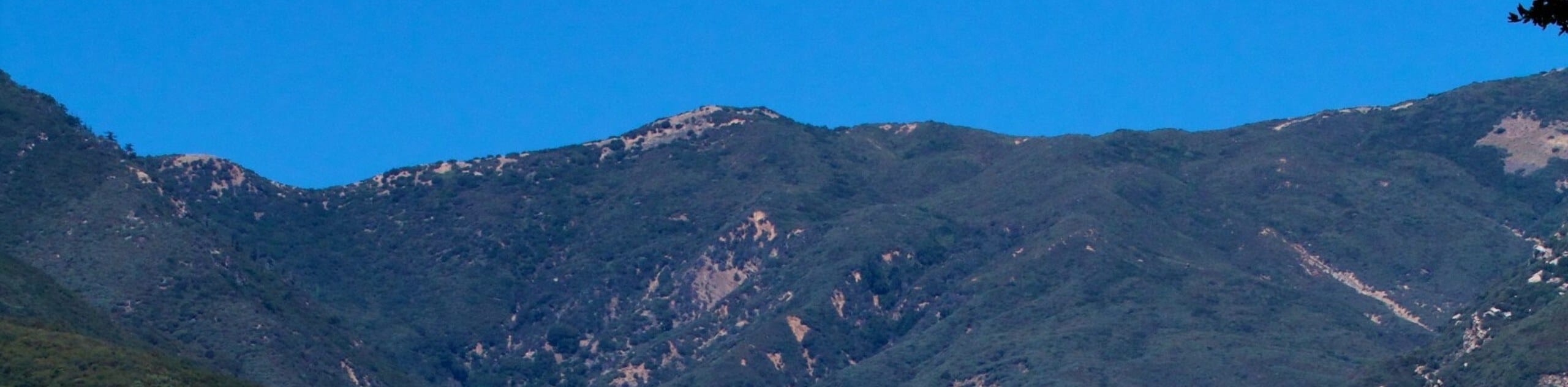
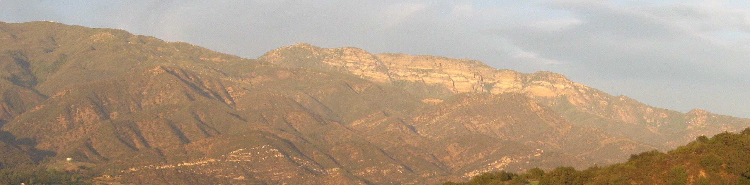
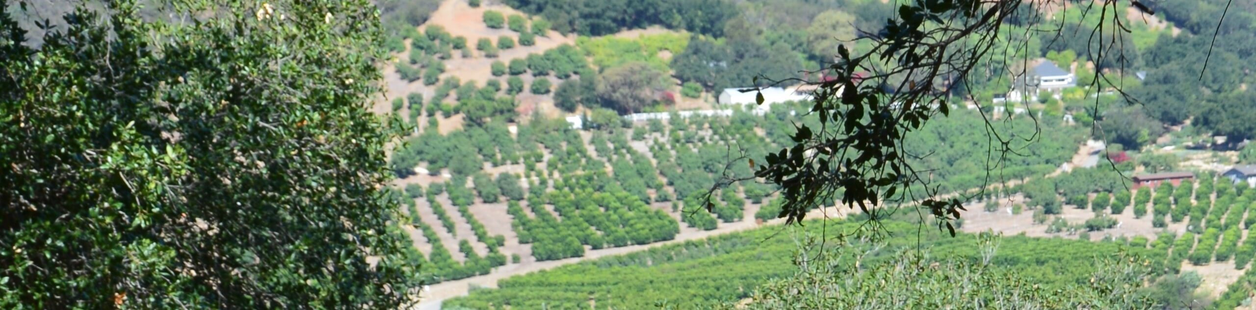
Stretching 220.0mi from Los Angeles County to Monterey Country, the Los Padres National Forest encompasses nearly 2,000,000 acres of land and ten wilderness areas. The forest is home to over 120 named mountains, the highest of which is Mount Pinos, which stands at 8847ft. Enjoy the varied landscape of Los Padres characterized by soaring coastal crests, dramatic headlands, old-growth forests, dense communities of chaparral scrub, craggy canyons, rivers, hot springs, and beaches.
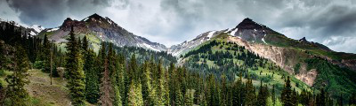
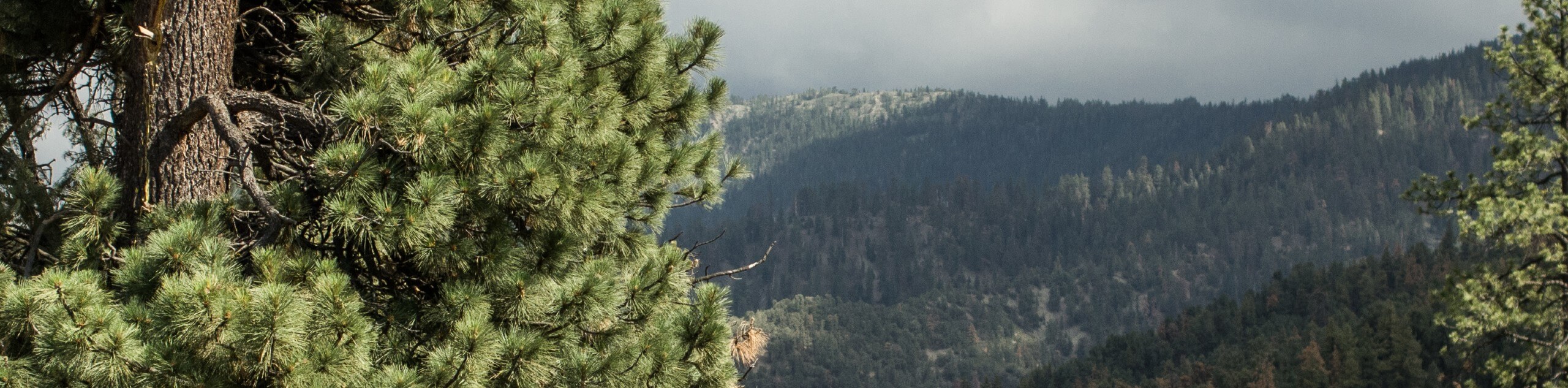
Boasting an extensive network of hiking trails, the Los Padres National Forest is undoubtedly a hiker’s paradise—though outdoor opportunities are abundant. Beckoning the exploration of adventurers year-round, the summer months see trekking, biking, and climbing experiences and incredible water recreation activities, such as surfing, swimming, and rafting. The areas of higher elevation offer epic snowshoeing and cross-country skiing opportunities in the winter months. The impressive topographic diversity and comfortable climate boast the perfect hiking conditions no matter the season.
The 12 Amazing Hiking Routes in the Los Padres National Forest
Whether you are new to the trails or an experienced trailblazer, the Los Padres National Forest offers a wealth of routes to satisfy every type of adventurer. Tackle the technical mission of summiting Inspiration Point, or take it easy exploring the Santa Barbara Botanic Gardens. No matter the trail you choose, Los Padres exhibits the beauty of the area’s landscapes and the native flora and fauna diversity. So when planning your next trip to California, a detour into the Los Padres National Forest is a must.
As self-proclaimed adventure experts, we took it upon ourselves to curate a list of the best hikes in the Los Padres National Forest. Below you will find family-friendly nature trails, advanced missions, and everything in between. Enjoy!
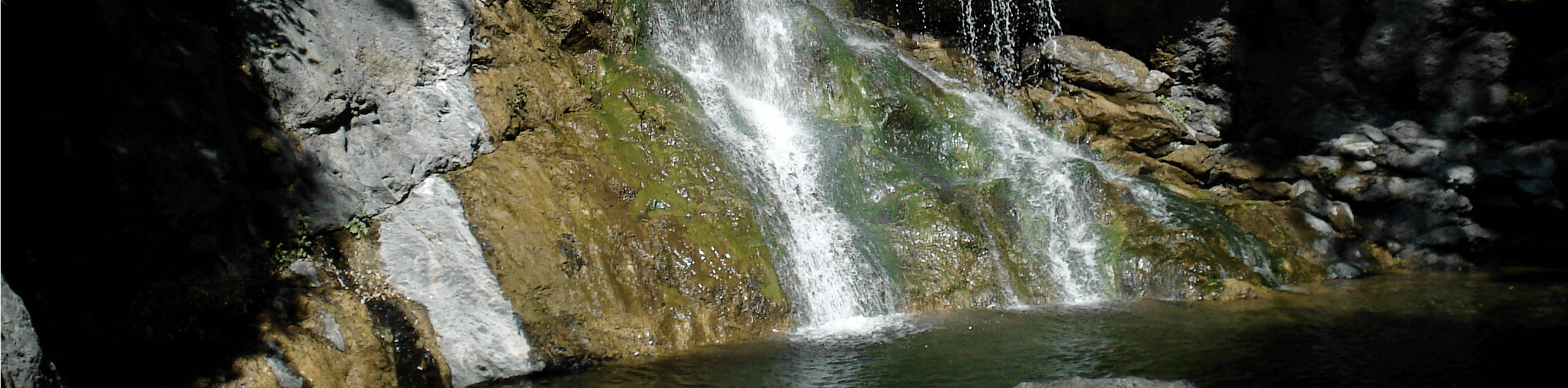
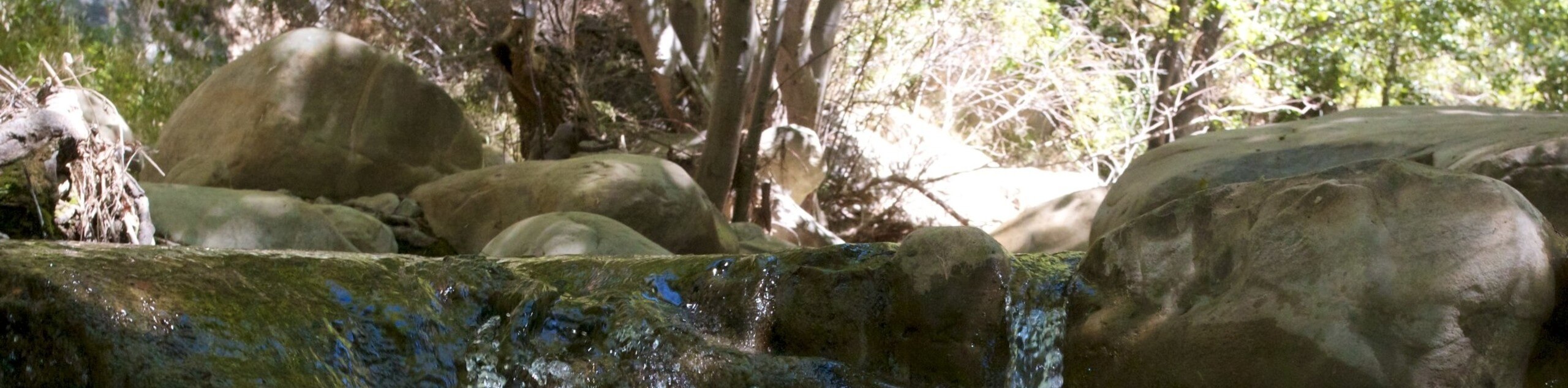
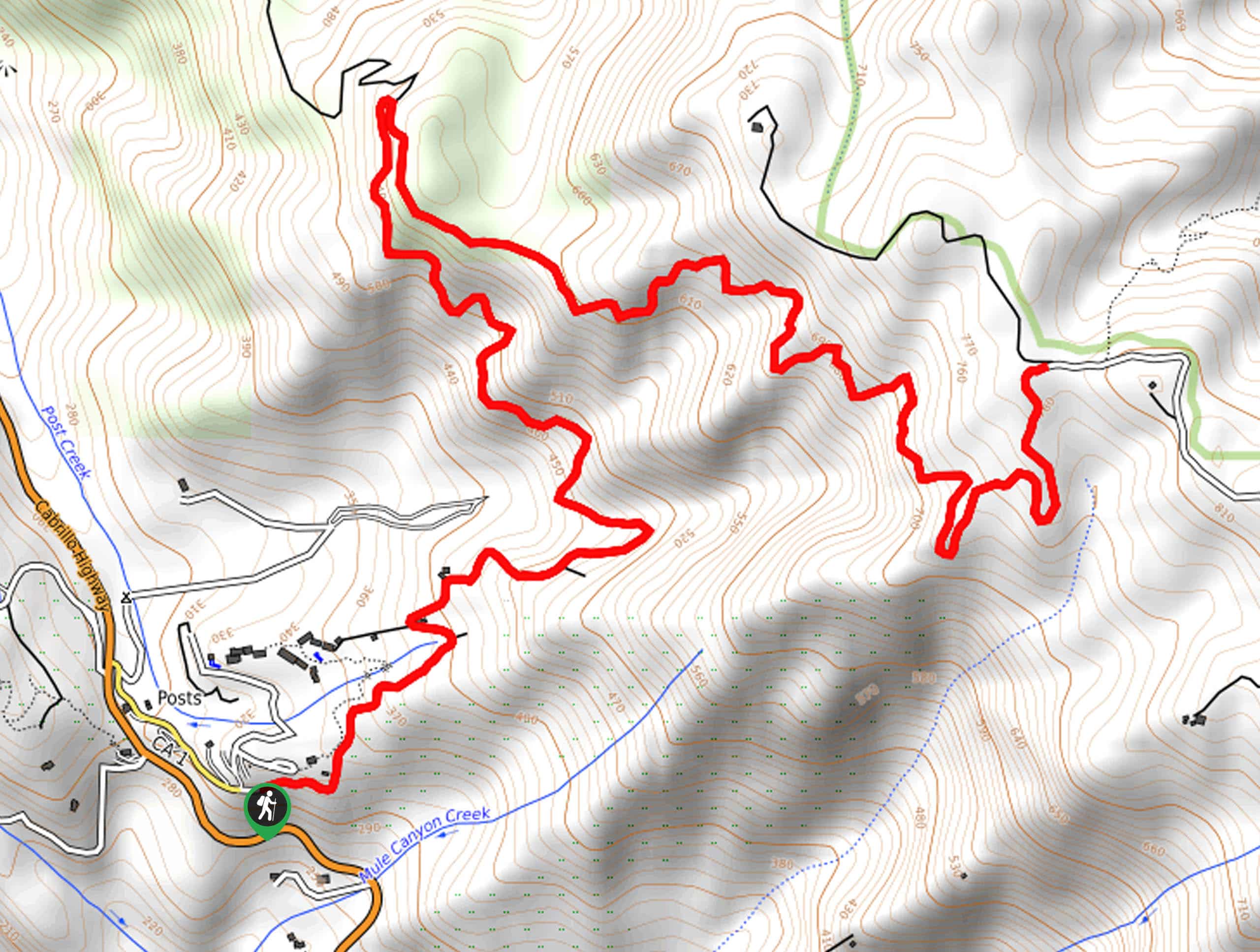
- Seven Falls Trail - The Seven Falls Trail is a demanding yet highly rewarding adventure that travels through the serrated canyon of the Mission Crags. Indulge in idyllic swimming holes and the sights of mesmerizing waterfalls.
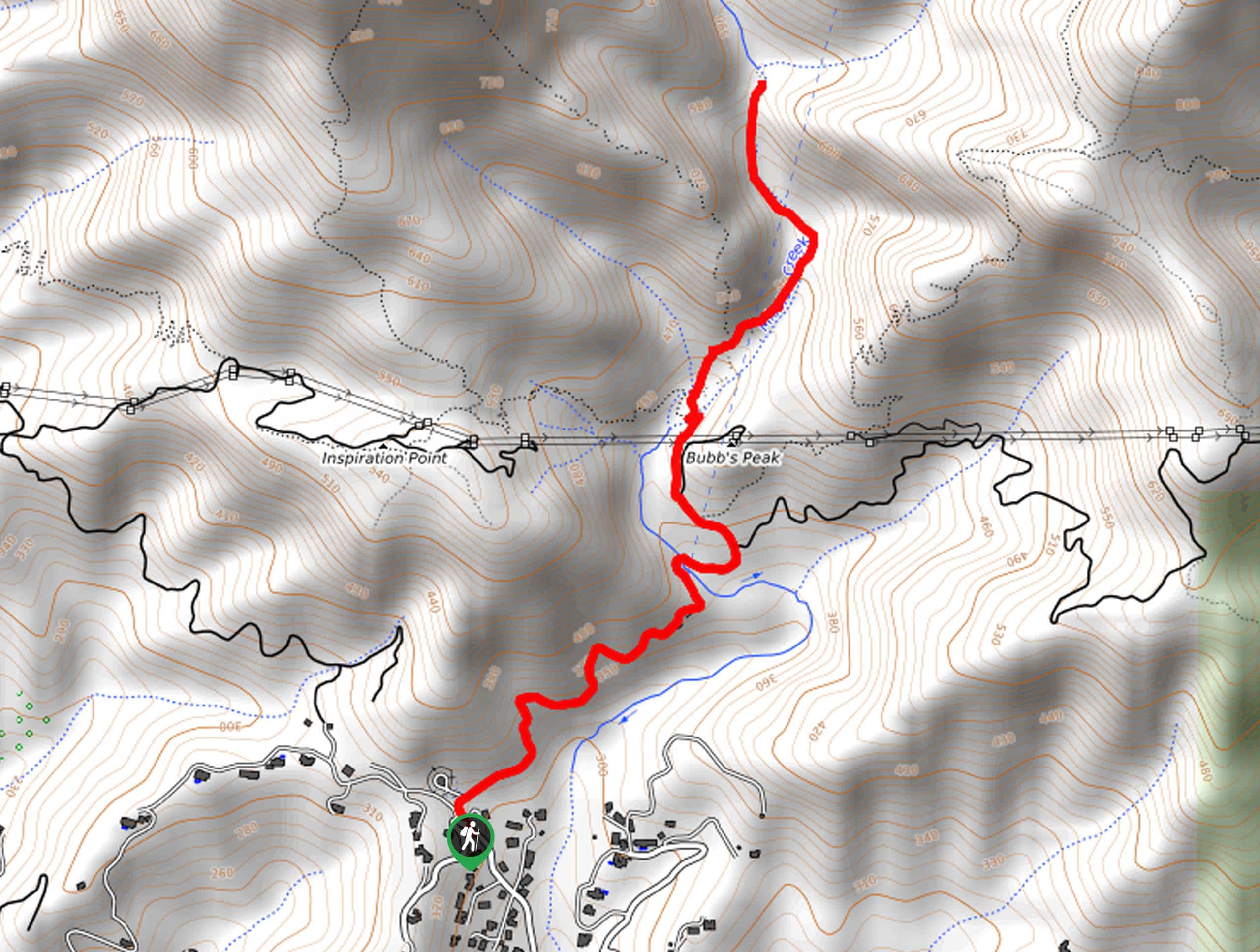
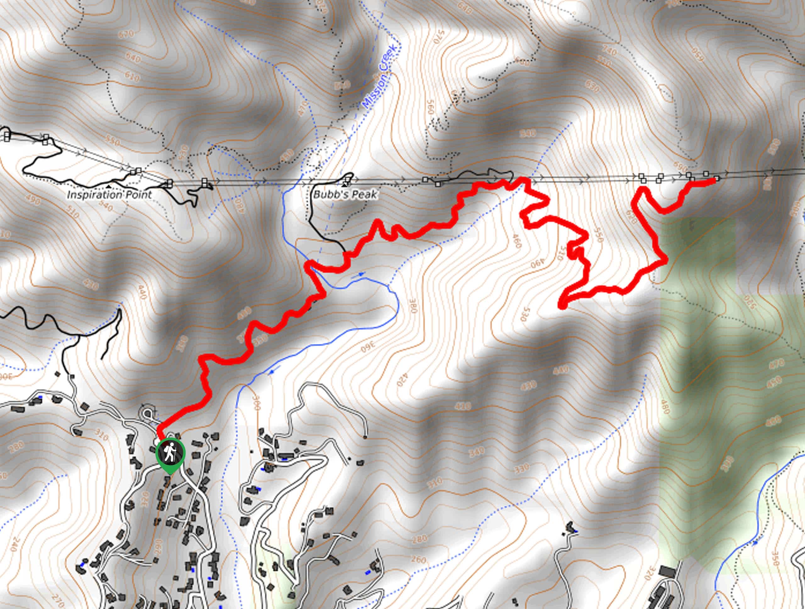
- Inspiration Point Hike - Admire the beauty of Santa Barbara, the Mission Crags, the Pacific, and on a clear day—the Channel Islands. The Inspiration Point Hike is an incredible adventure at the top of many adventurers hiking itineraries—make sure to add it to yours!
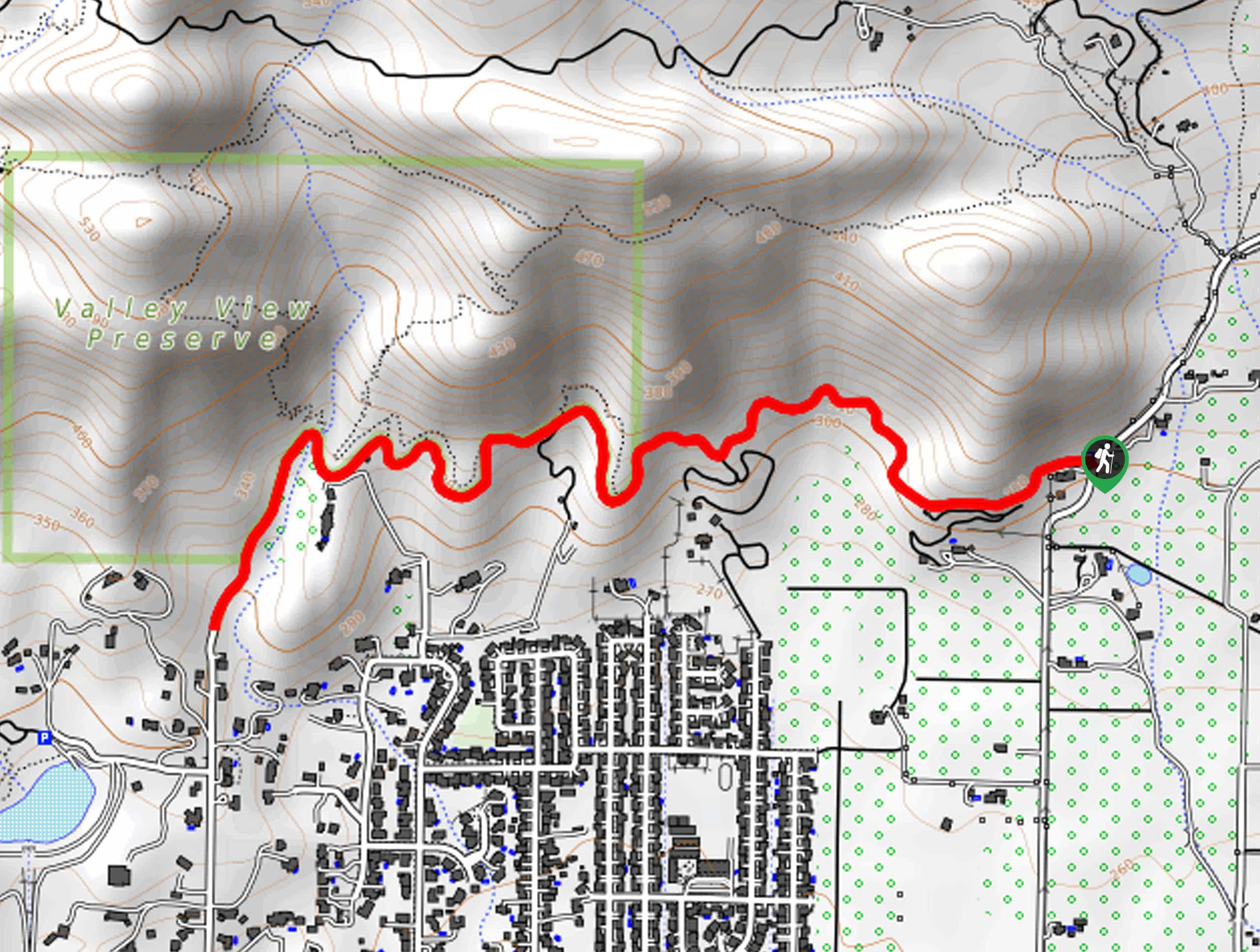
- Santa Barbara Botanic Garden Trail - The Santa Barbara Botanic Garden Trail is a lovely, family-friendly adventure through the botanic garden abundant with the area’s native flora and several historic sites. You can easily spend the whole day exploring this incredible park.
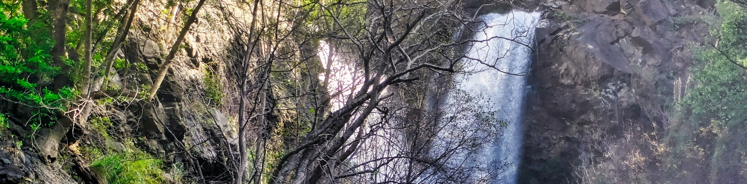
- Salmon Creek Falls Trail - Located just off State Route 1, this family-friendly hike attracts dozens of adventurers every day, eager to enjoy the hypnotic scene of the 120ft cascading waterfall. The Salmon Creek Falls Trail is a natural hidden oasis awaiting your exploration.
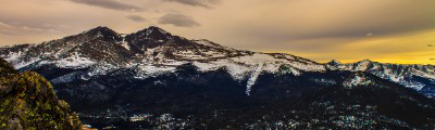
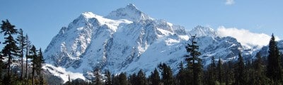
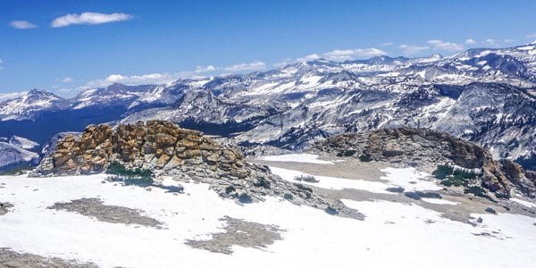
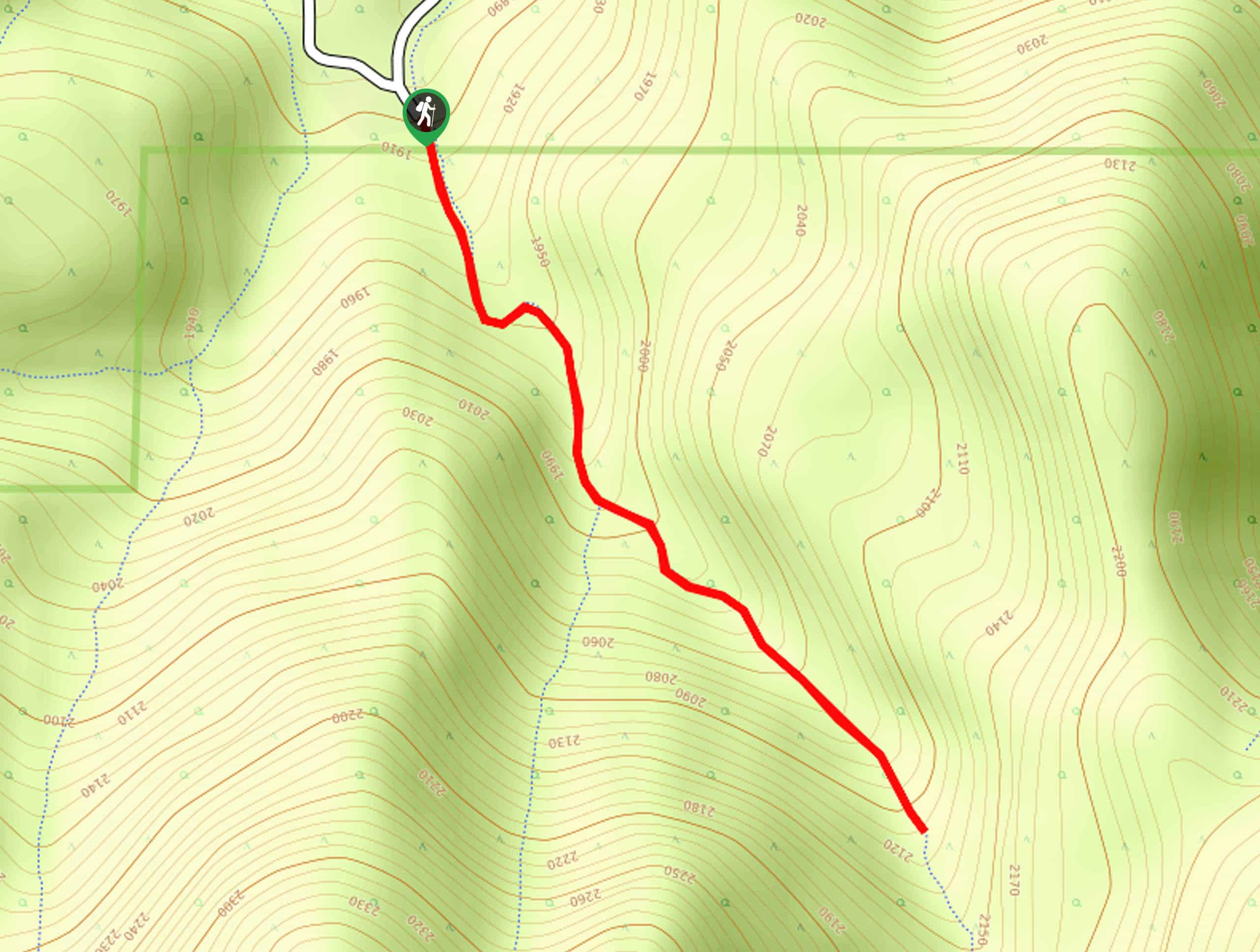
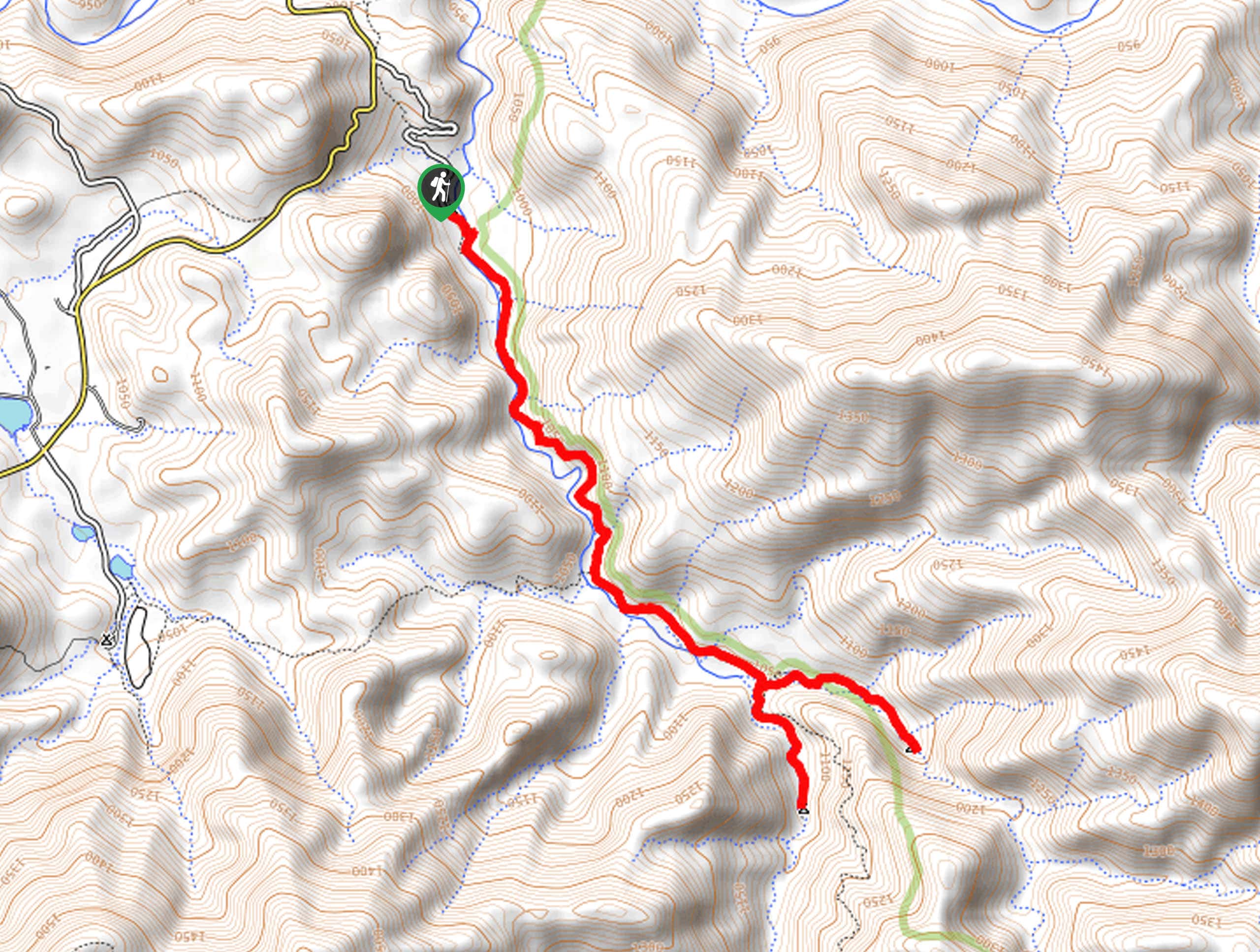
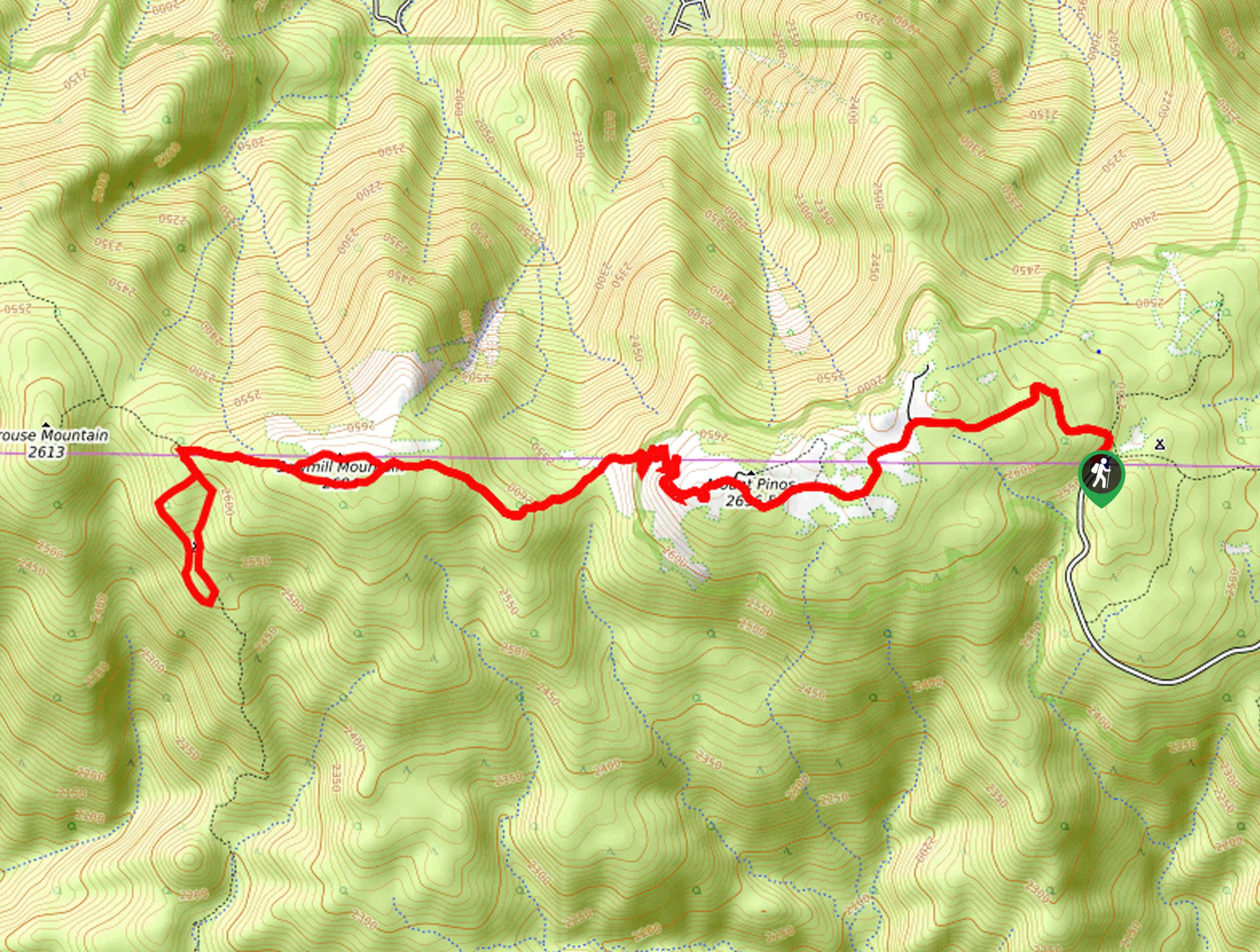
- Mount Pinos Trail - Hike up to the highest point in the Los Padres National Forest along the Mount Pinos Trail. This excellent day hike offers an incredible overlook of Santa Barbara, the San Andreas Fault, the Caliente Range, to name a few.
- Sand Dollar Beach Trail - Explore the pristine beach along the Sand Dollar Beach Trail. This fun family adventure exposes breathtaking vistas of the seashore bound by the crashing surf and dramatic headlands.
- Enchanted Forest Trail - The Enchanted Forest Trail boasts a magical experience, guiding explorers through the lush woodlands bisected by a meandering stream. This route is a local favorite—so you know it's a great hike!
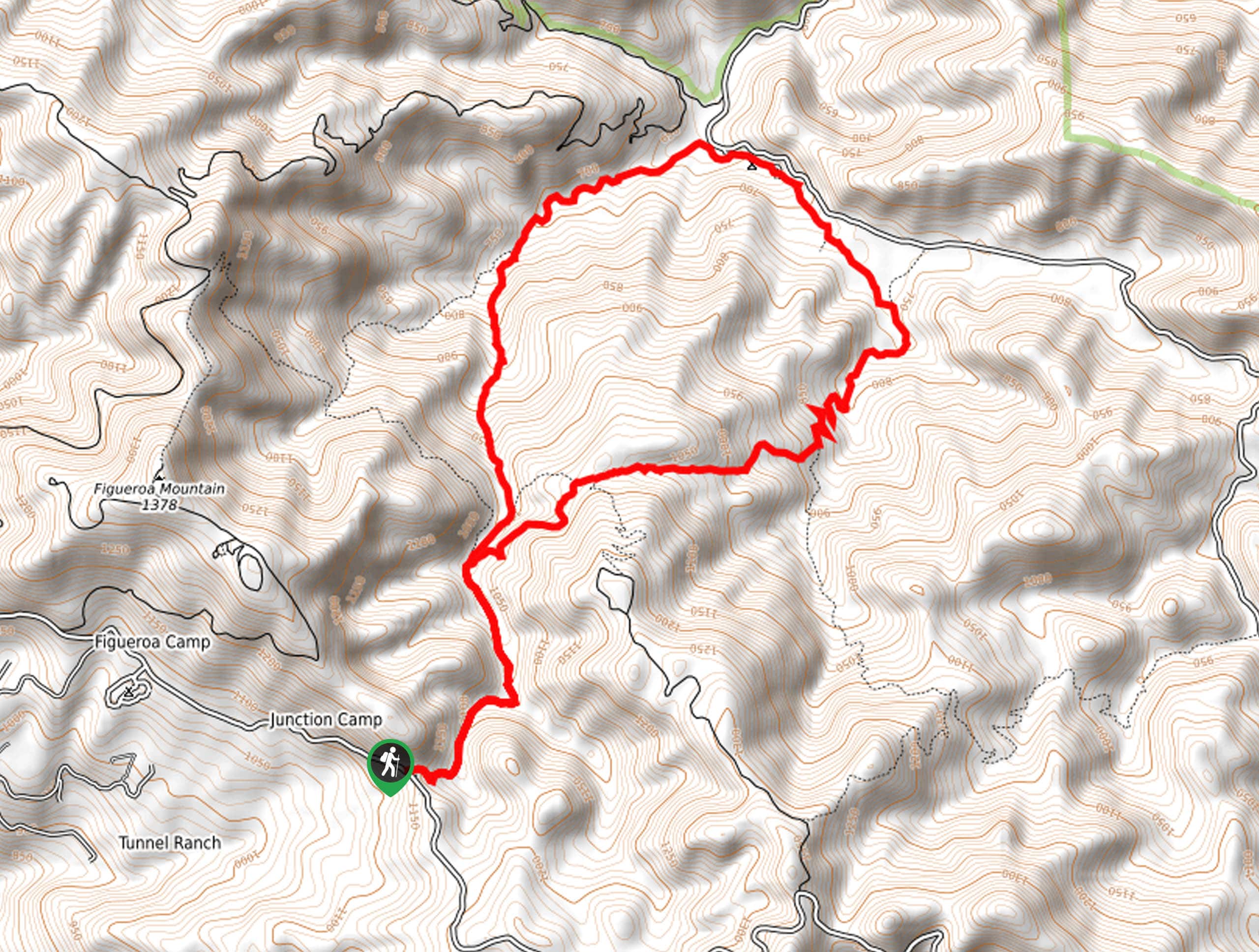
- Figueroa Mountain Hike - Indulge in the scene of vibrant wildflower fields along the Figueroa Mountain Hike. This epic excursion culminates at the summit, which offers a fantastic overlook of the San Rafael Mountains and Santa Ynez Valley.
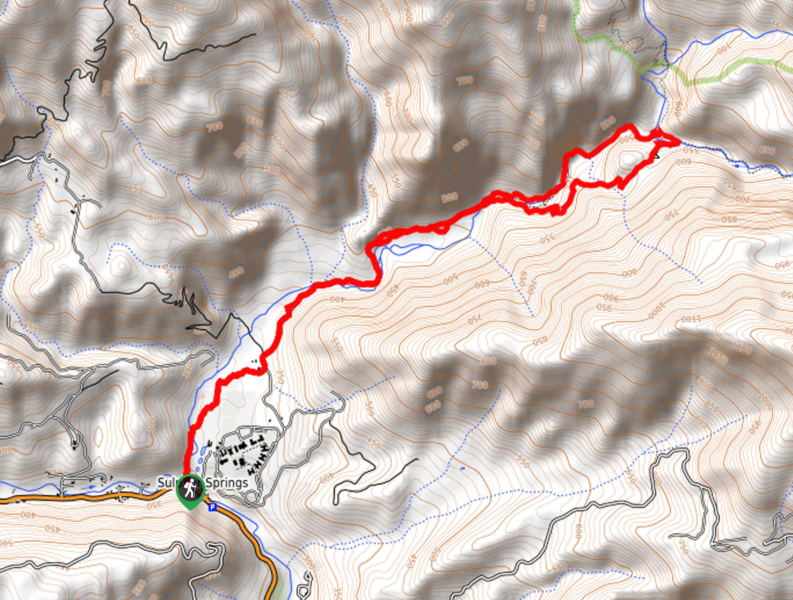
- Hot Springs Canyon Trail - Soothe your tired muscles in the idyllic sulfur hot springs nestled amongst the Los Padres mountains along the Hot Springs Canyon Trail. Offering an unrivaled experience, this route attracts plenty of adventurers eager to soak in the natural spa.
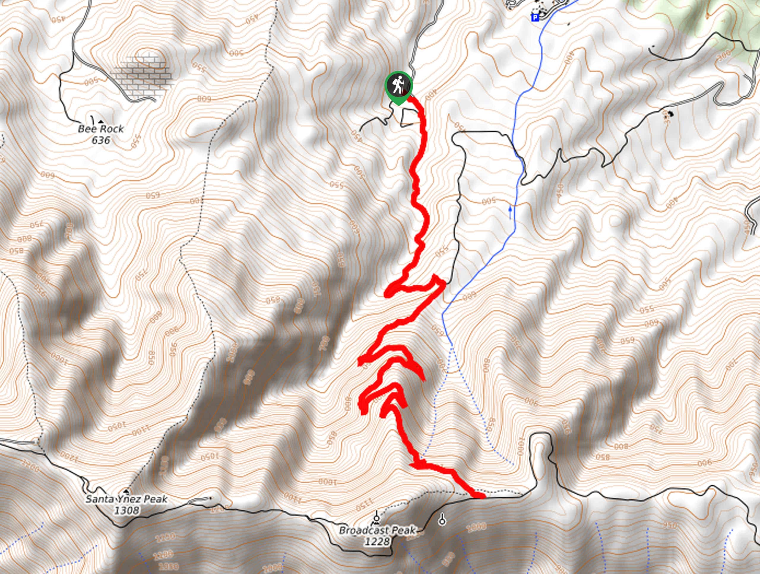
- Gaviota Peak Hike - Challenge yourself on the Gaviota Peak Hike. This heart-pumping adventure rewards tired trail-goers for their efforts with dumbfounding vistas of the Santa Ynez Mountains and the Pacific Ocean.
- Punch Bowls Trail - Confused about the name? You won’t be once you explore the punch-bowl-shaped swimming holes in the Santa Paula Canyon. The Punch Bowls Trail is a must add to your hiking to-do list.
- Rose Valley Falls Hike - The Rose Valley Falls Hike exhibits the area’s flora and fauna, as well as the mesmerizing scene of the seasonal cascade. This family-friendly adventure boasts an enchanting experience.
When is the Best Time to Visit the Los Padres National Forest?
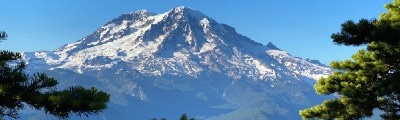
Due to its geographic location, the Los Padres National Forest offers adventure pursuits year-round. The winter months along the coast see more rain and intense wind, and the areas of high elevation often see frigid and snowy conditions. On the other hand, if you head out in the summer, you can expect unbearably hot weather and crowded trails. We encourage visitors to explore in the spring and autumn for a more tranquil experience with comfortable weather conditions. No matter the season, the Los Padres National Forest will not disappoint.
Other Outdoor Activities in the Los Padres National Forest
The Los Padres National Forest is an oasis for adventure travelers, with plenty of outdoor pursuits and incredible hiking. Mountain biking and cycling are also popular sports in the forest—bike also a scenic roadway or tackling a technical mountain climb.
Anglers, swimmers, and surfers can also enjoy water recreation in the wilderness area. Additionally, the sharp-crested coastal mountains and craggy valleys propose ideal scrambling and bouldering for intrepid adventurers to enjoy.
In the winter months, higher elevation areas often see snow, providing opportunities for snowshoeing and cross-country skiing. Outdoor activities are abundant in the Los Padres National Forest, but the unrivaled beauty of the coastal environment is in and of itself a reason to visit the area.
Frequently Asked Questions About the Los Padres National Forest
Is the Los Padres National Forest free?
Most facilities and trails in the Los Padres National Forest are free—though some expeditions require an Adventure Pass or Day-Use Fee.
Can you drive through the Los Padres National Forest?
The Jacinto Reyes Scenic Byway travels through the Los Padres National Forest.
Can you camp in the Los Padres National Forest?
Yes, there are over 55 developed campgrounds in addition to several backcountry campsites in the Los Padres National Forest.
Does it snow in the Los Padres National Forest?
Yes, it often snows in the winter at the higher elevations within the Los Padres National Forest.
Are dogs allowed in the Los Padres National Forest?
Yes, as a rule, the Los Padres National Forest is a dog-friendly wilderness area, though there are a few restrictions, including the state park in Big Sur.
Awesome Adventure Tours near the Los Padres National Forest
Sadly, we have yet to curate an adventure tour in the Los Padres National Forest. Don’t fret—we are constantly adding to our ever-growing repertoire of epic tours, and who knows, a Los Padres adventure may be the next addition. Until then, check out our other California Tours to satiate your wanderlust.
Find Other Amazing Hiking Regions in California
- Death Valley
- Inyo National Forest
- Joshua Tree National Park
- Lassen
- North Bay
- Yosemite National Park
- Stanislaus National Forest
- Sierra National Forest
- Redwoods National and State Parks
- Shasta-Trinity National Forest
- Point Reyes National Seashore
The best hikes in Los Padres National Forest
01. Seven Falls Trail
Difficulty
Explore the Seven Falls Trail near Santa Barbara, and you’ll discover a collection of hypnotizing… Read More
02. Inspiration Point Hike
Difficulty
The Inspiration Point Hike is a scenic adventure in the Los Padres National Forest that… Read More
03. Santa Barbara Botanic Garden Trail
Difficulty
The Santa Barbara Botanic Garden Trail boasts a magical experience that hikers of all skills,… Read More
04. Salmon Creek Falls Hike
Difficulty
Indulge in the mesmerizing scene of 120ft cascades along the Salmon Creek Falls… Read More
05. Mount Pinos Trail
Difficulty
The Mount Pinos Trail is an excellent day hike in the Los Padres National Forest… Read More
06. Sand Dollar Beach Trail
Difficulty
The Sand Dollar Beach Trail is a must-visit when in the Big Sur. The long… Read More
07. Enchanted Forest Trail
Difficulty
The Enchanted Forest Trail is a local favorite that boasts a magical ambiance year-round. Explore… Read More
08. Figueroa Mountain Hike
Difficulty
The Figueroa Mountain Hike is a must-add to your adventure itinerary. This wonderfully scenic trail… Read More
09. Hot Springs Canyon Trail
Difficulty
The Hot Springs Canyon Trail is a unique adventure in the Los Padres National Forest… Read More
10. Gaviota Peak Hike
Difficulty
The Gaviota Peak Trail is a heart-pumping expedition in the Los Padres National Forest that… Read More
Yes, there are more than 10
Los Padres National Forest is so beautiful that we can not give you only 10 hikes. So here is a list of bonus hikes in Los Padres National Forest that you should take a look at as well
11. Punch Bowls Trail
Difficulty
The Punch Bowls Hike is one of the most popular trails in Ventura County—and rightfully… Read More
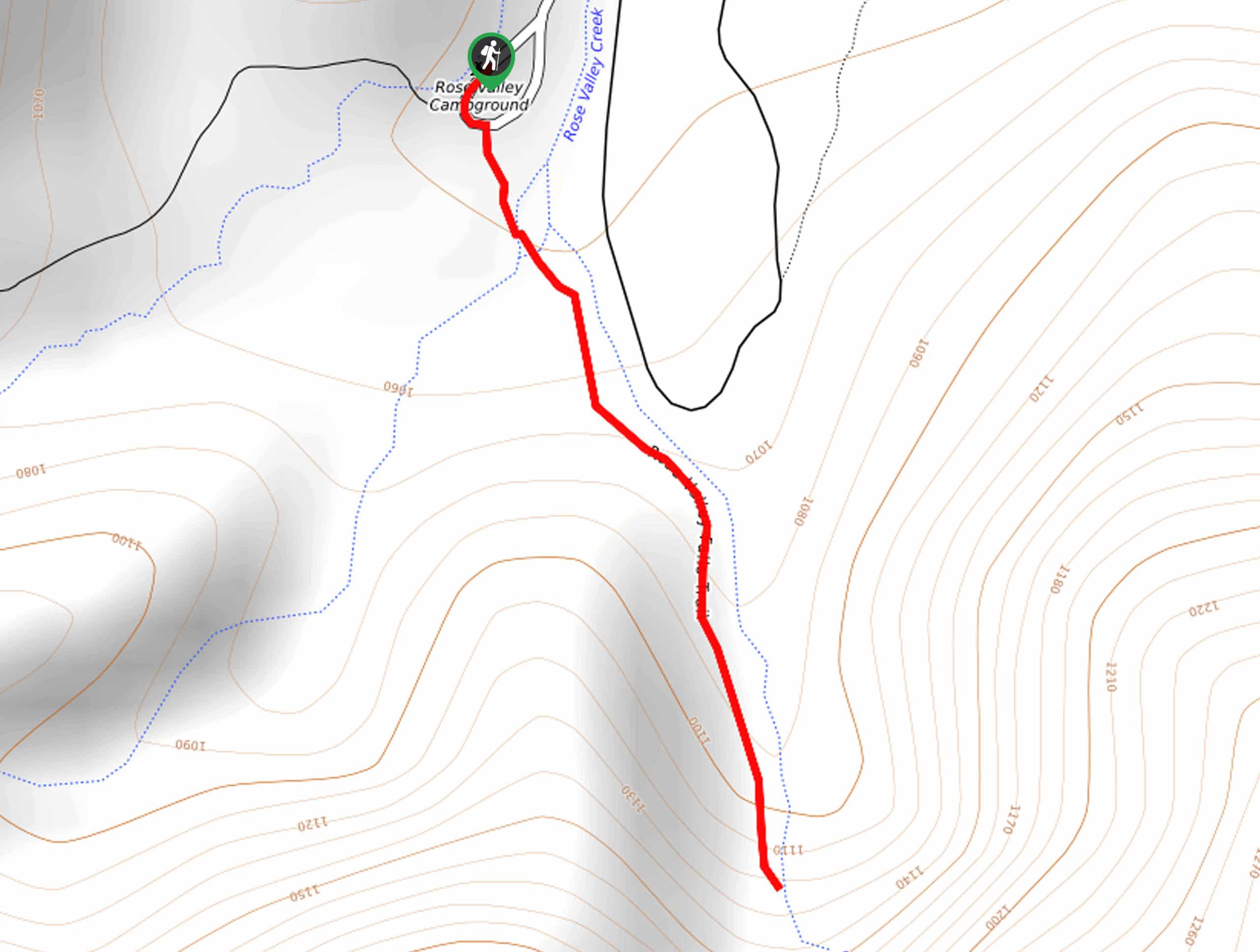
12. Rose Valley Falls Hike
Difficulty
The Rose Valley Falls Hike boasts an enchanting experience in the Los Padres National Forest.… Read More
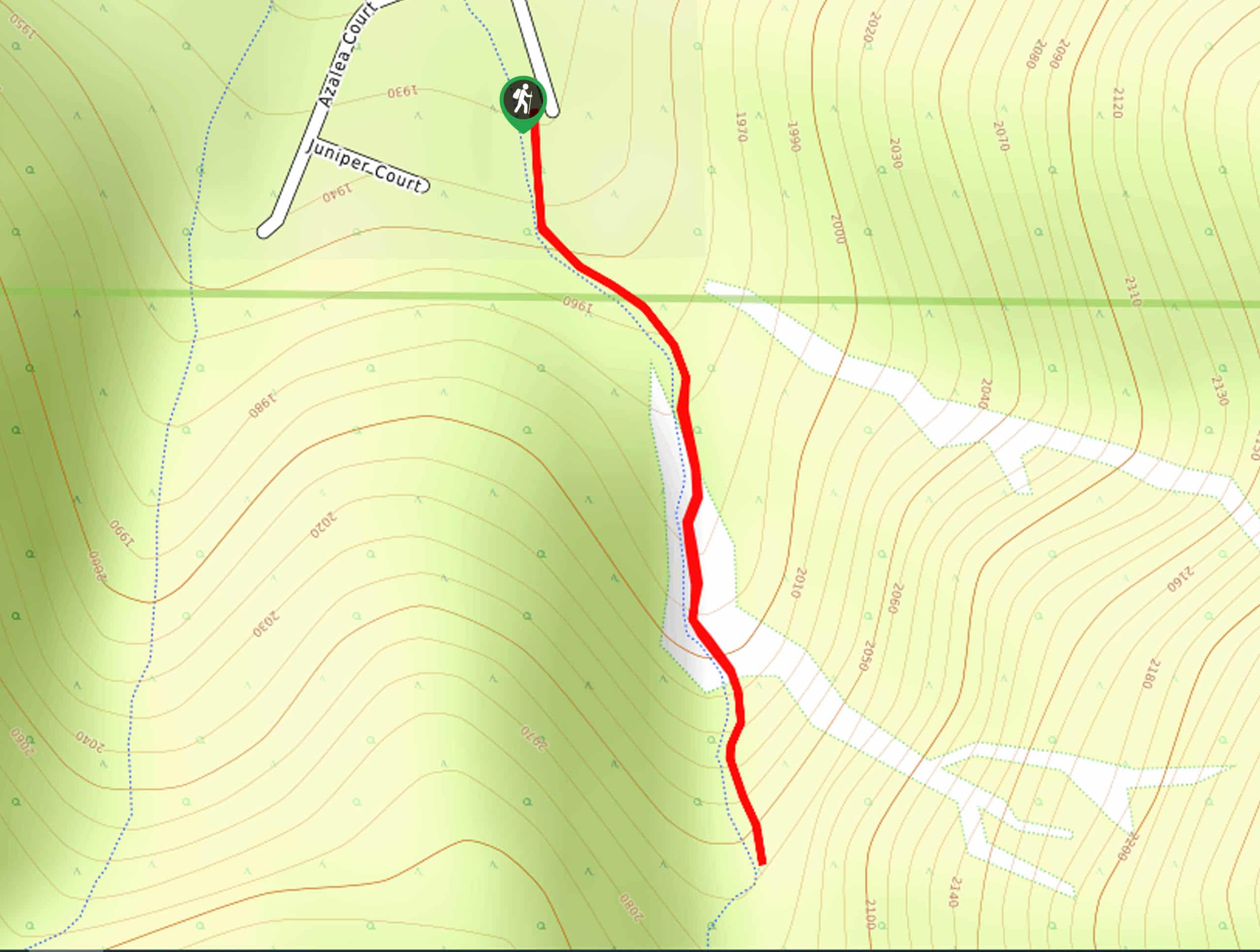
13. Saddle Rock Trail
Difficulty
The Saddle Rock Trail is an epic day hike near Montecito that boasts breathtaking views… Read More
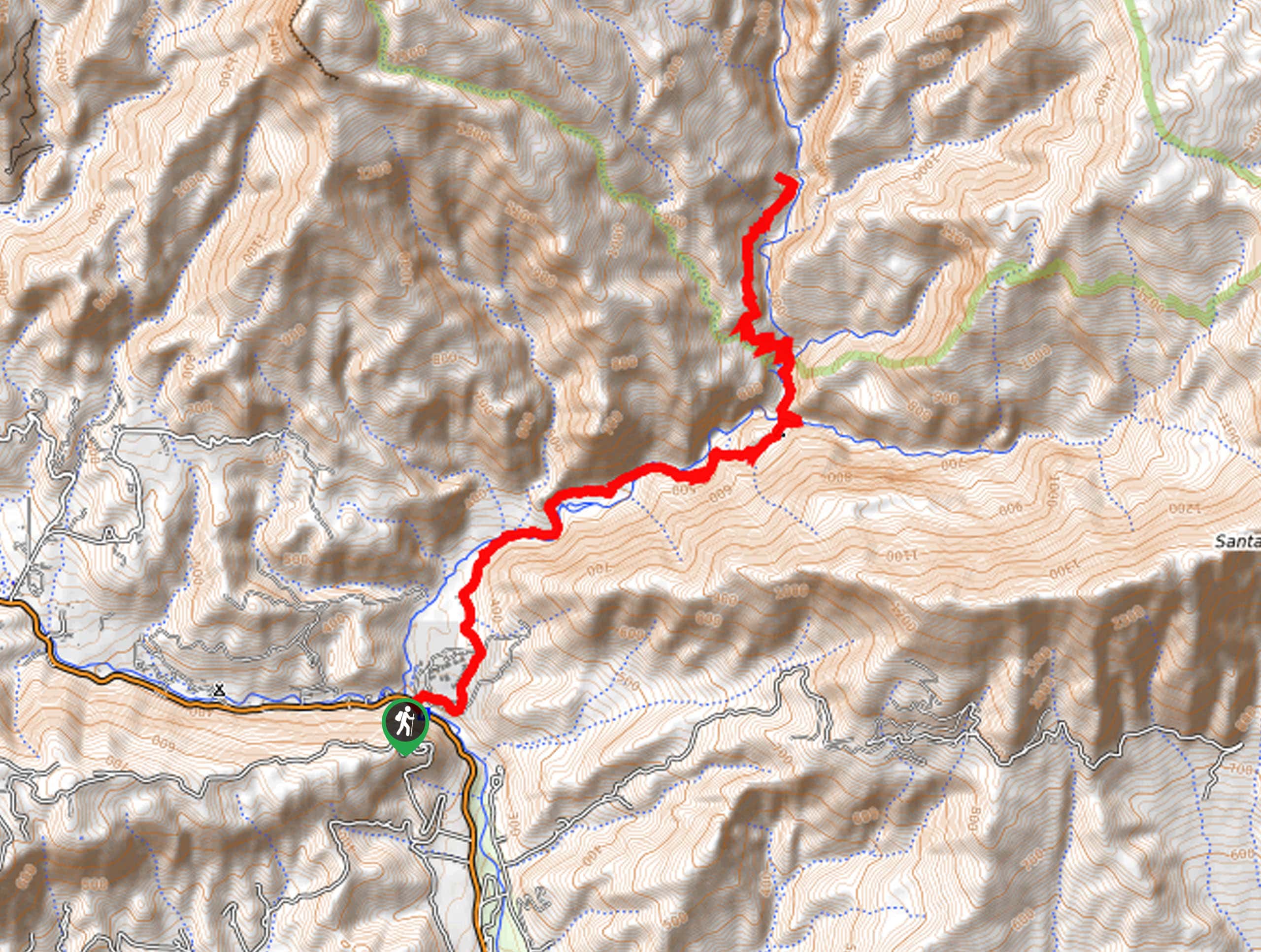
14. Matilija Falls Trail
Difficulty
The Matilija Falls Trail boasts an unparalleled experience, guiding intrepid adventurers through a rugged canyon… Read More
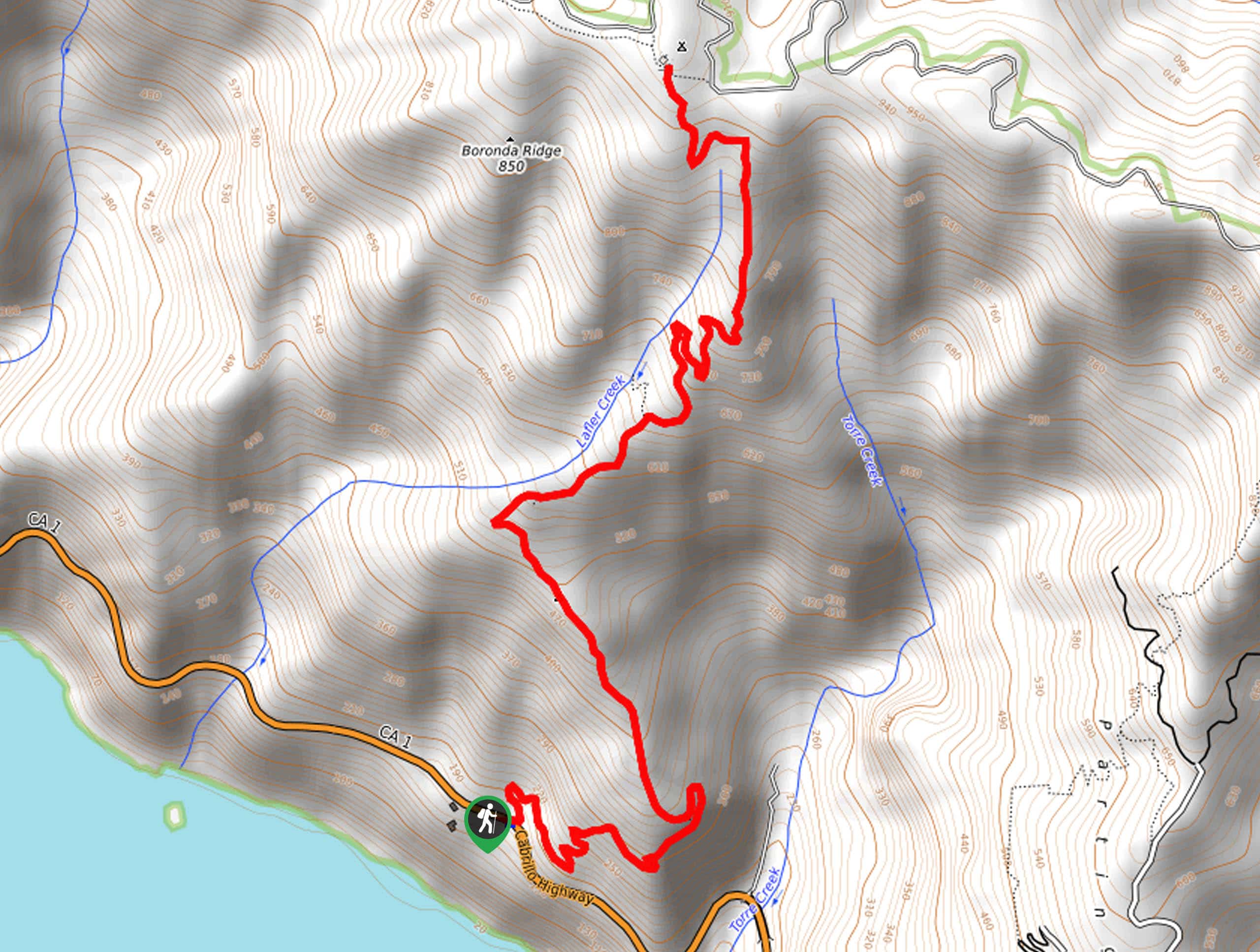
15. Timber Top and Boronda Trail
Difficulty
The Timber Top and Boronda Trail is a wonderful adventure in Los Padres National Forest… Read More
16. Salmon Creek Trail
Difficulty
The Salmon Creek Trail is a wonderful day hike in the Big Sur that offers… Read More
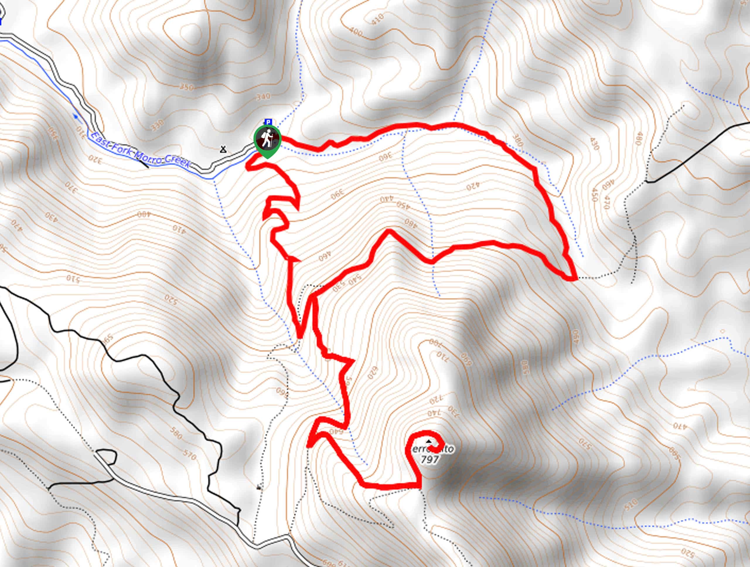
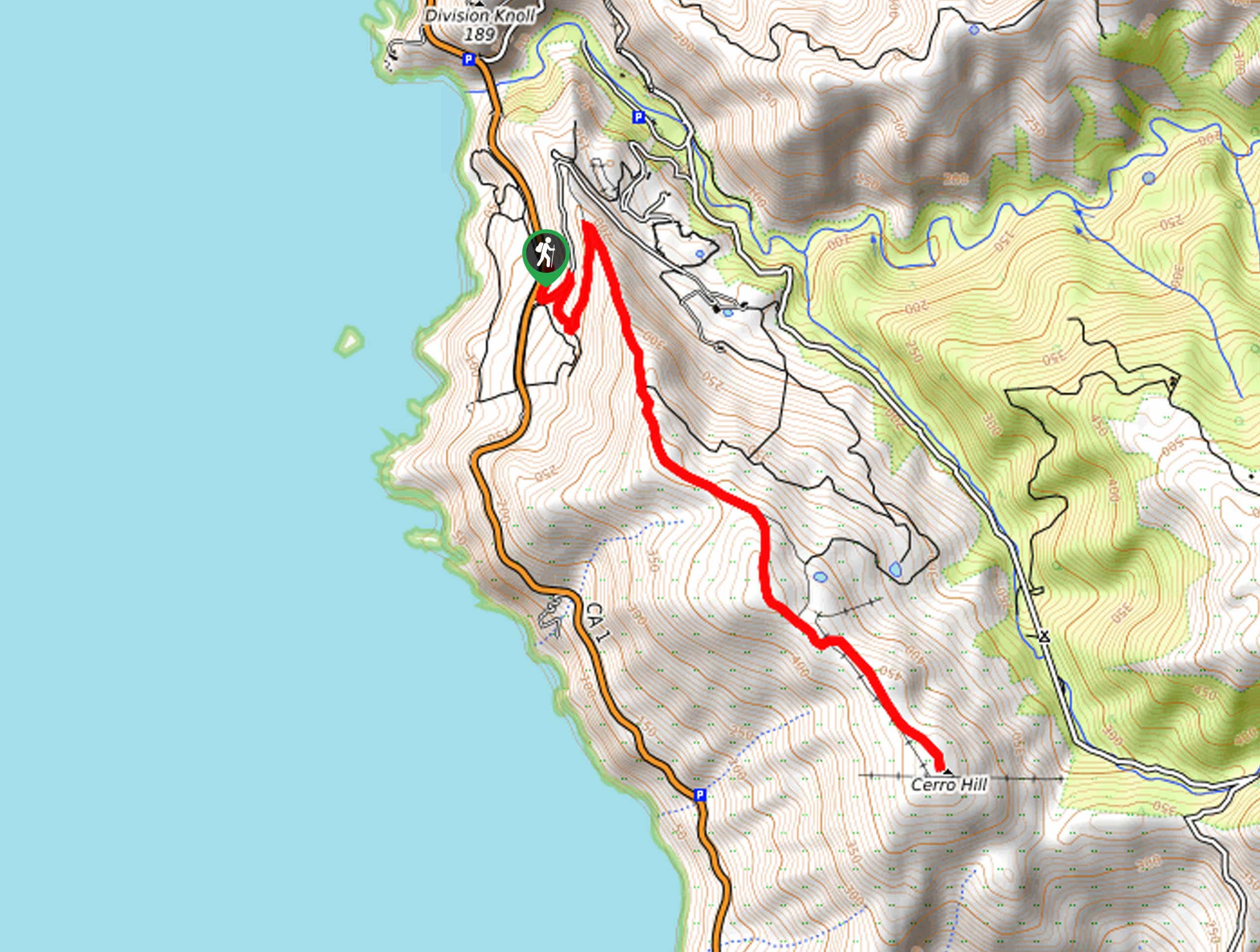
17. Cerro Alto Loop Trail
Difficulty
The Cerro Alto Loop Trail is an awesome adventure that beckons the exploration of hikers,… Read More
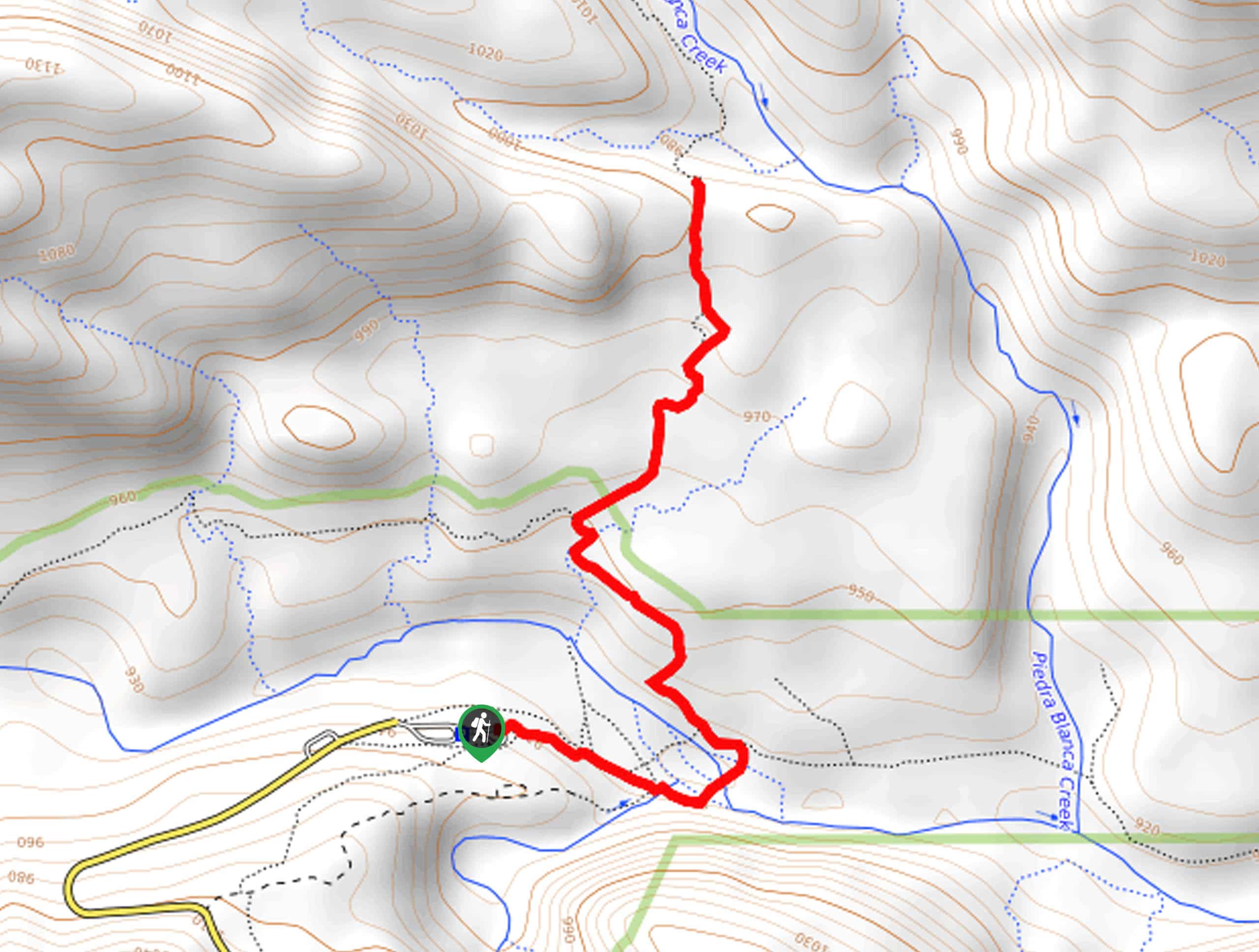
18. Piedra Blanca Formations Trail
Difficulty
The Piedra Blanca Formations Trail is a wonderful adventure that hikers of all skill levels… Read More
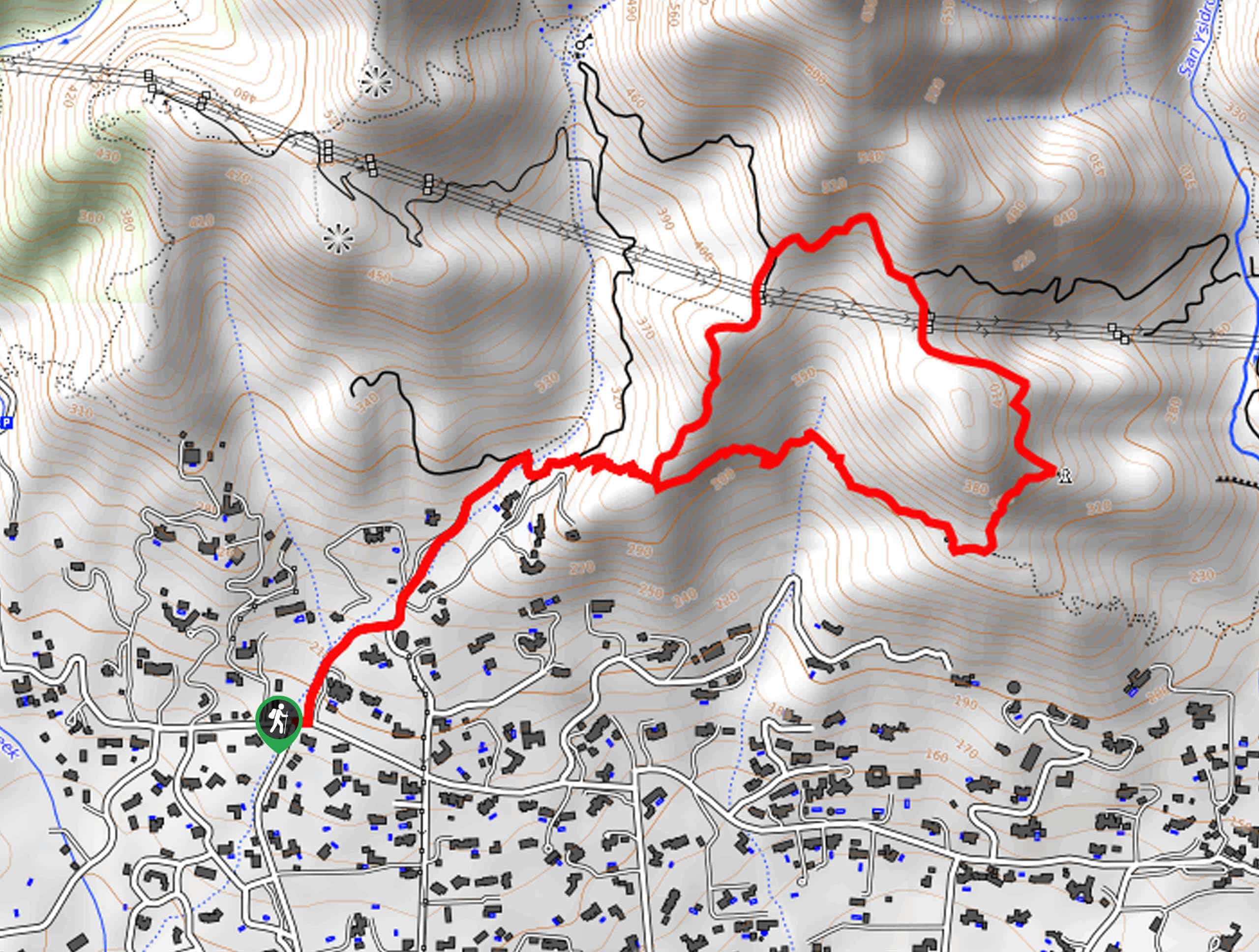
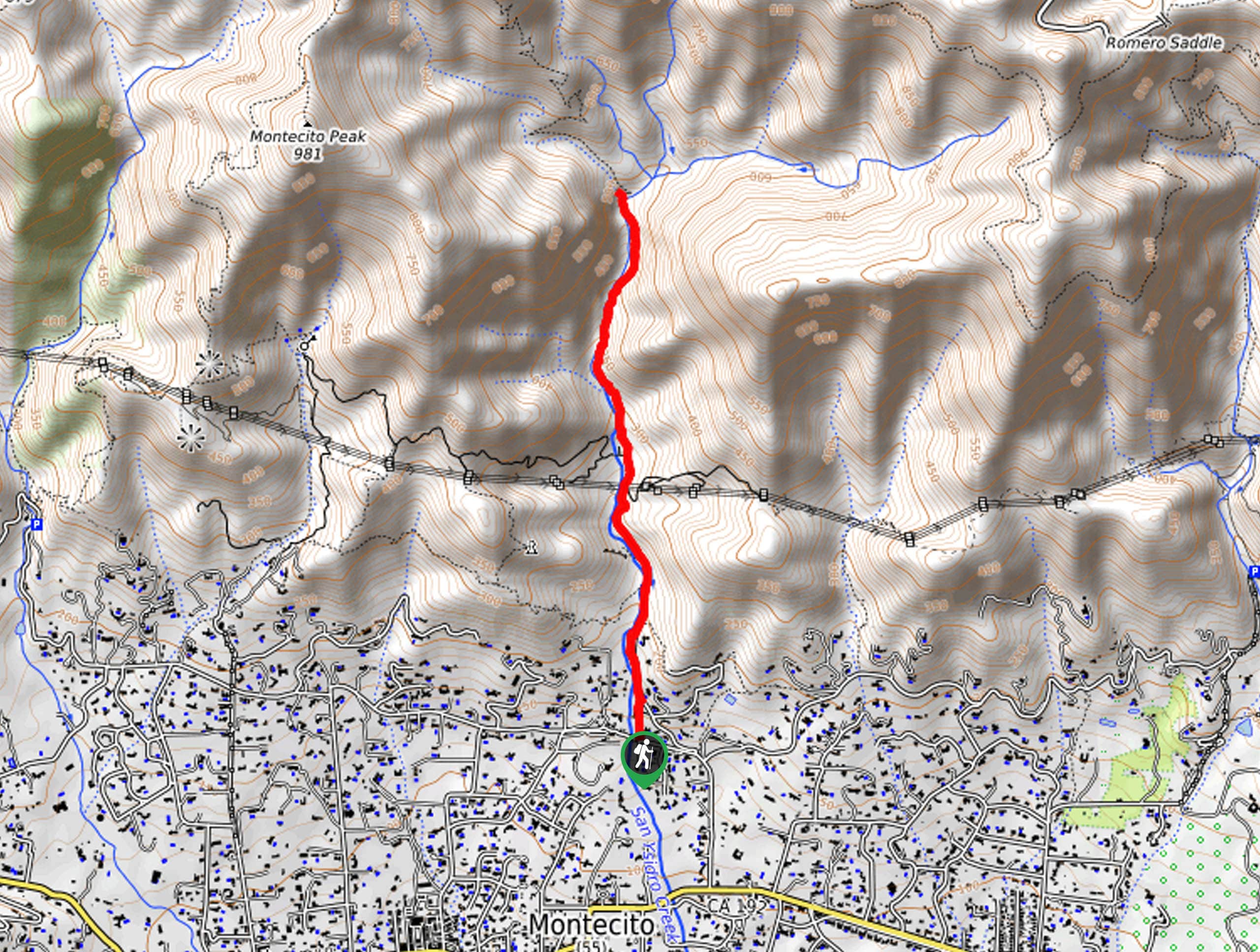
19. San Ysidro Trail
Difficulty
The San Ysidro Trail is an amazing adventure near Montecito that is best enjoyed by… Read More
20. San Ysidro Creek Hike
Difficulty
The San Ysidro Creek Hike is a brilliant day hike near Montecito, CA that the… Read More
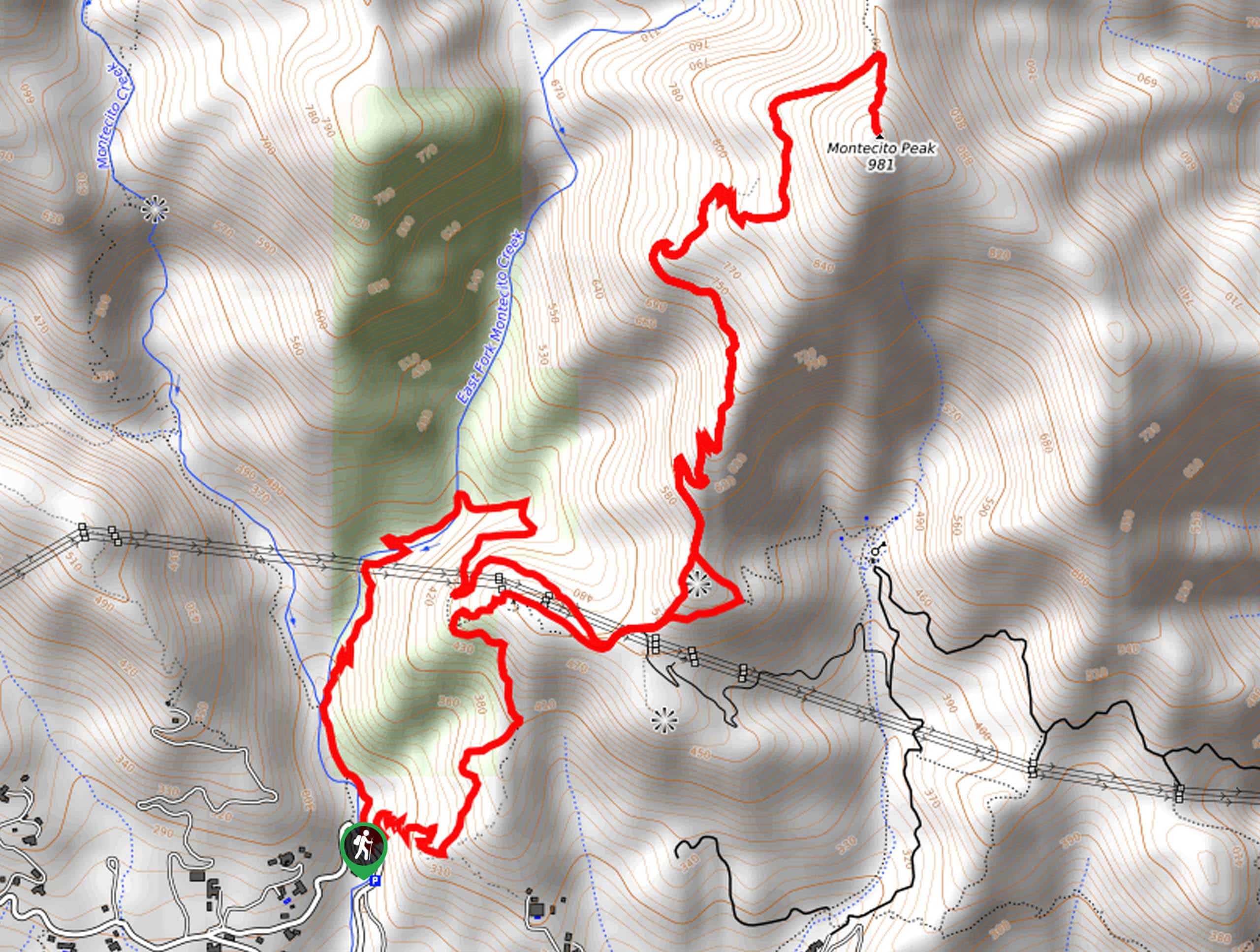
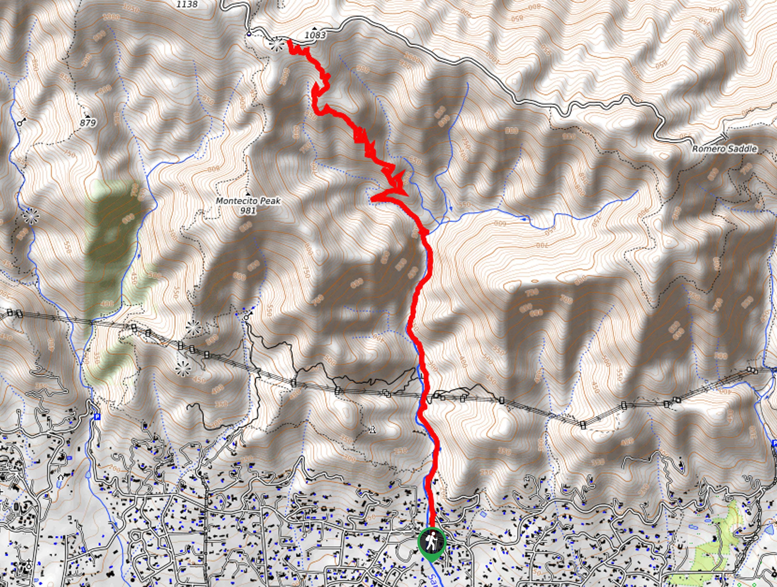
21. Montecito Peak Trail
Difficulty
The Montecito Peak Trail is a demanding adventure near Montecito that rewards hikers with breathtaking… Read More
22. Jesusita Trail
Difficulty
The Jesusita Trail is an amazing adventure in the Los Padres National Forest that beckons… Read More
23. North Fork Matilija Trail
Difficulty
The North Fork Matilija Trail is an amazing adventure through the Matilija Wilderness ideal for… Read More
24. Coast Ridge Road to Terrace Creek Trail
Difficulty
The Coast Ridge Road to Terrace Creek Trail is a beautiful adventure in the Los… Read More
25. Shelf Road Trail
Difficulty
Those seeking a beautiful nature walk near Ojai can enjoy the Shelf Road Trail. Suitable… Read More
26. Lizard’s Mouth Trail
Difficulty
Spend the day exploring the Lizard’s Mouth in the Los Padres National Forest. This amazing… Read More
27. Davy Brown Loop Trail
Difficulty
The Davy Brown Loop Trail is a scenic excursion in the Los Padres National Forest… Read More
28. Chorro Grande Trail
Difficulty
The Chorro Grande Trail is a wonderful adventure up to the Reyes Peak Campground, which… Read More
29. Reyes Peak Trail
Difficulty
The Reyes Peak Trail is a fun family hike near Ojai, California that affords anyone… Read More
30. Red Rock Loop Trail
Difficulty
The Red Rock Loop Trail is a wonderful trail in the Los Padres National Forest… Read More
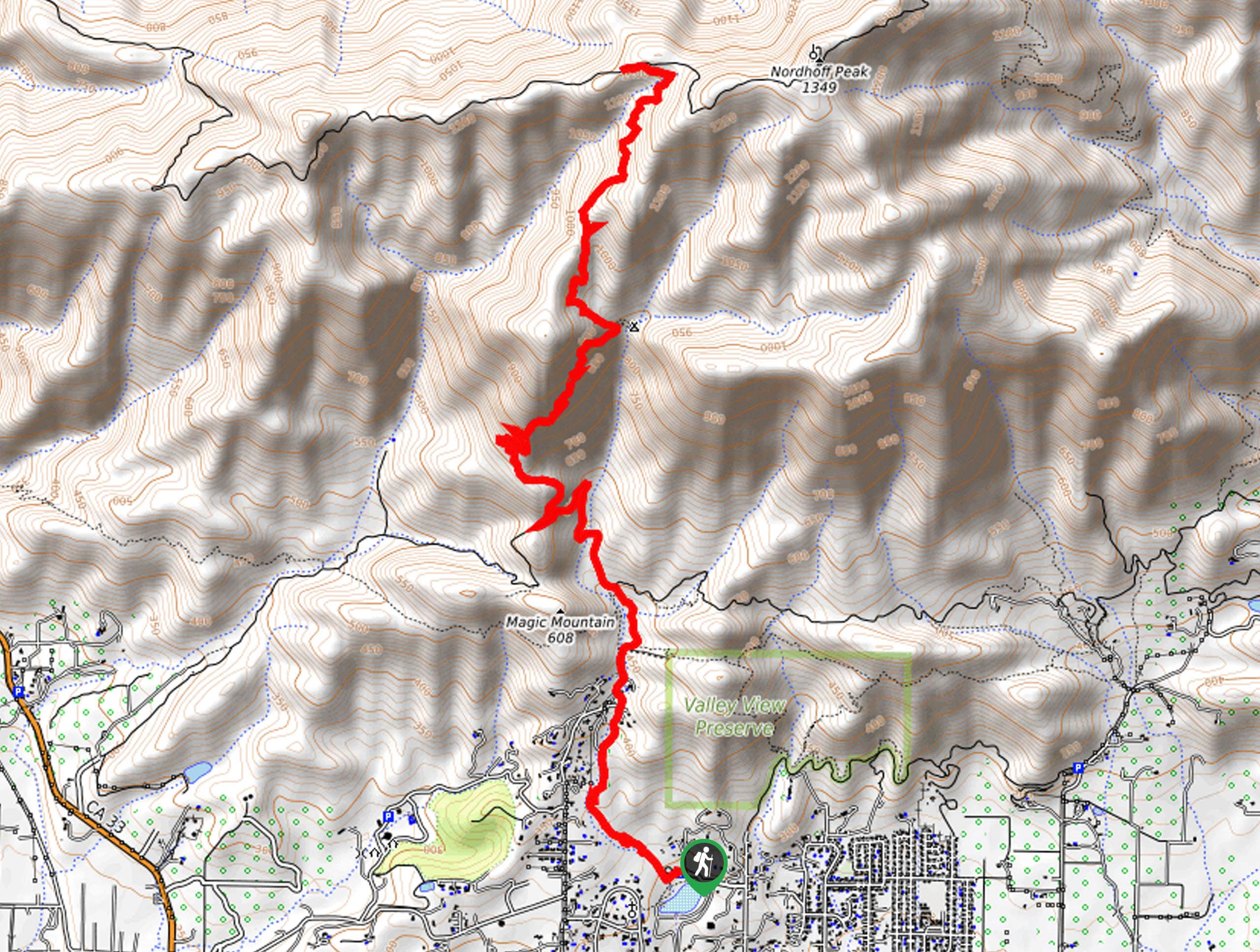
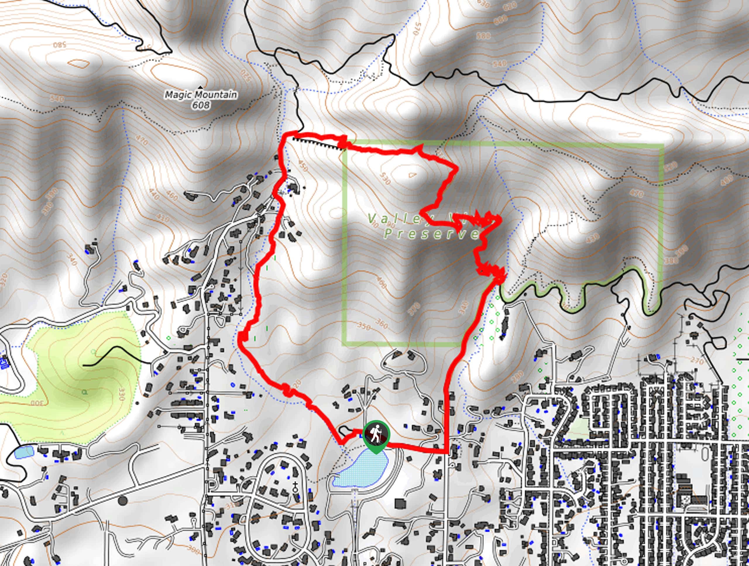
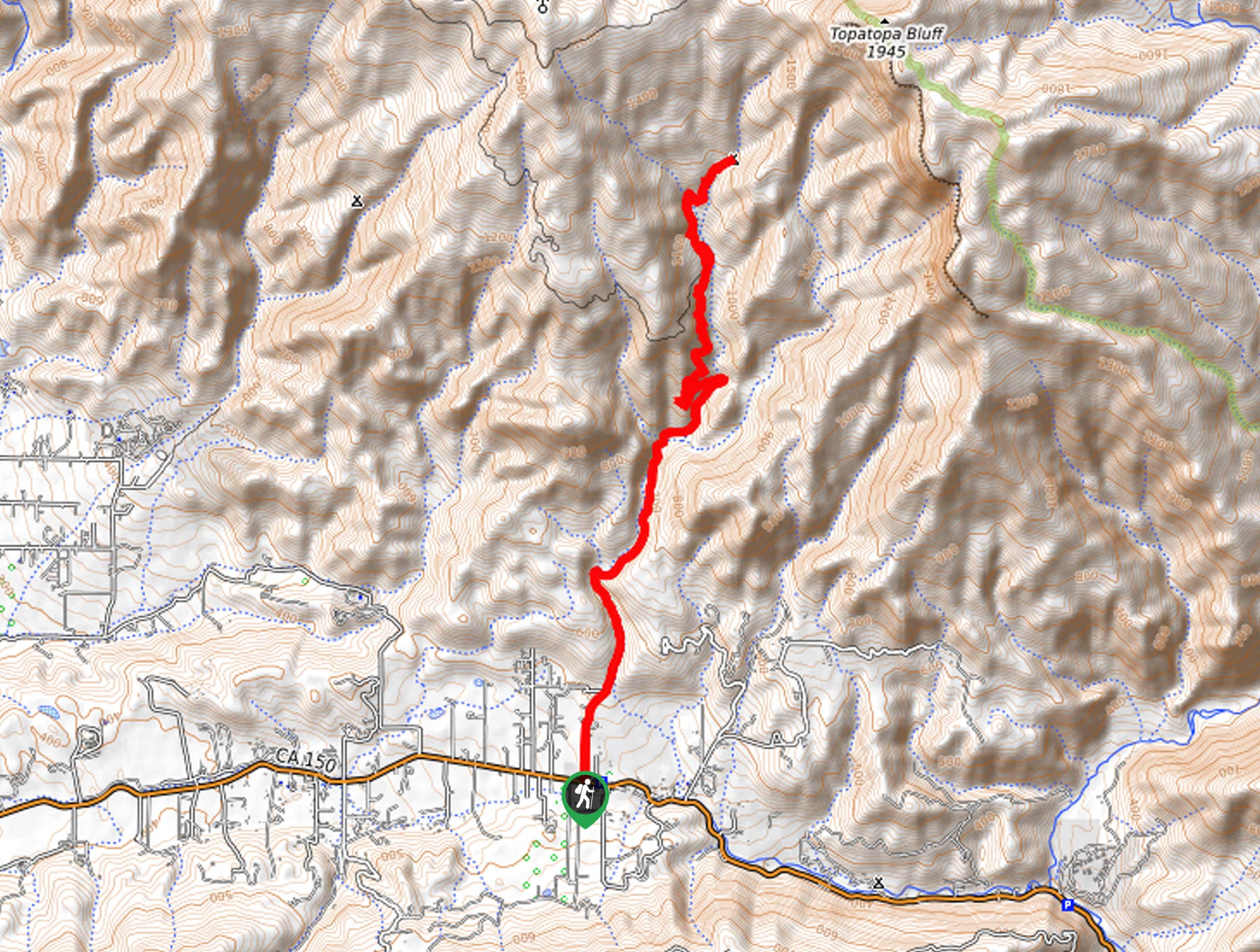
31. Topatopa Bluff Trail
Difficulty
The Topatopa Bluff Trail is an epic hike in the Los Padre National Forest. Reserved… Read More
32. Lion Canyon Trail
Difficulty
The Lion Canyon Trail is a beautiful hike in the Los Padres National Forest that… Read More
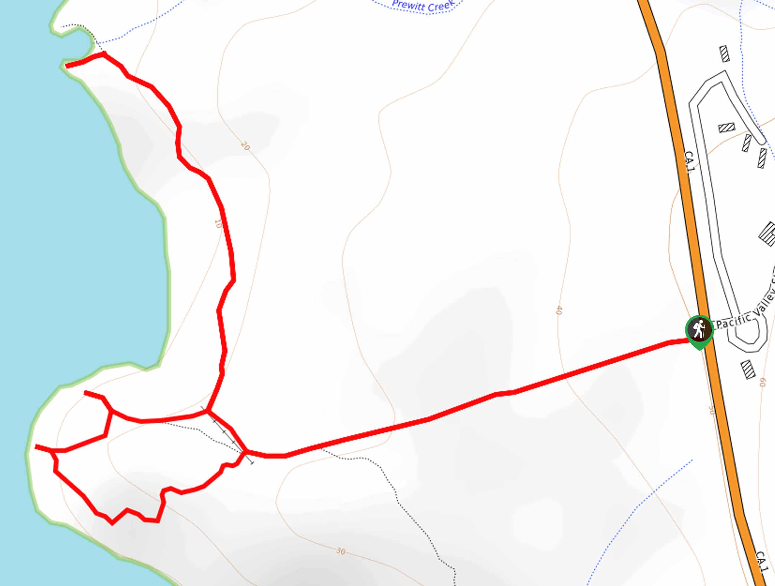
33. Pacific Valley Bluff Trail
Difficulty
The Pacific Valley Bluff Trail boasts a unique hiking experience in Los Padres National Forest.… Read More
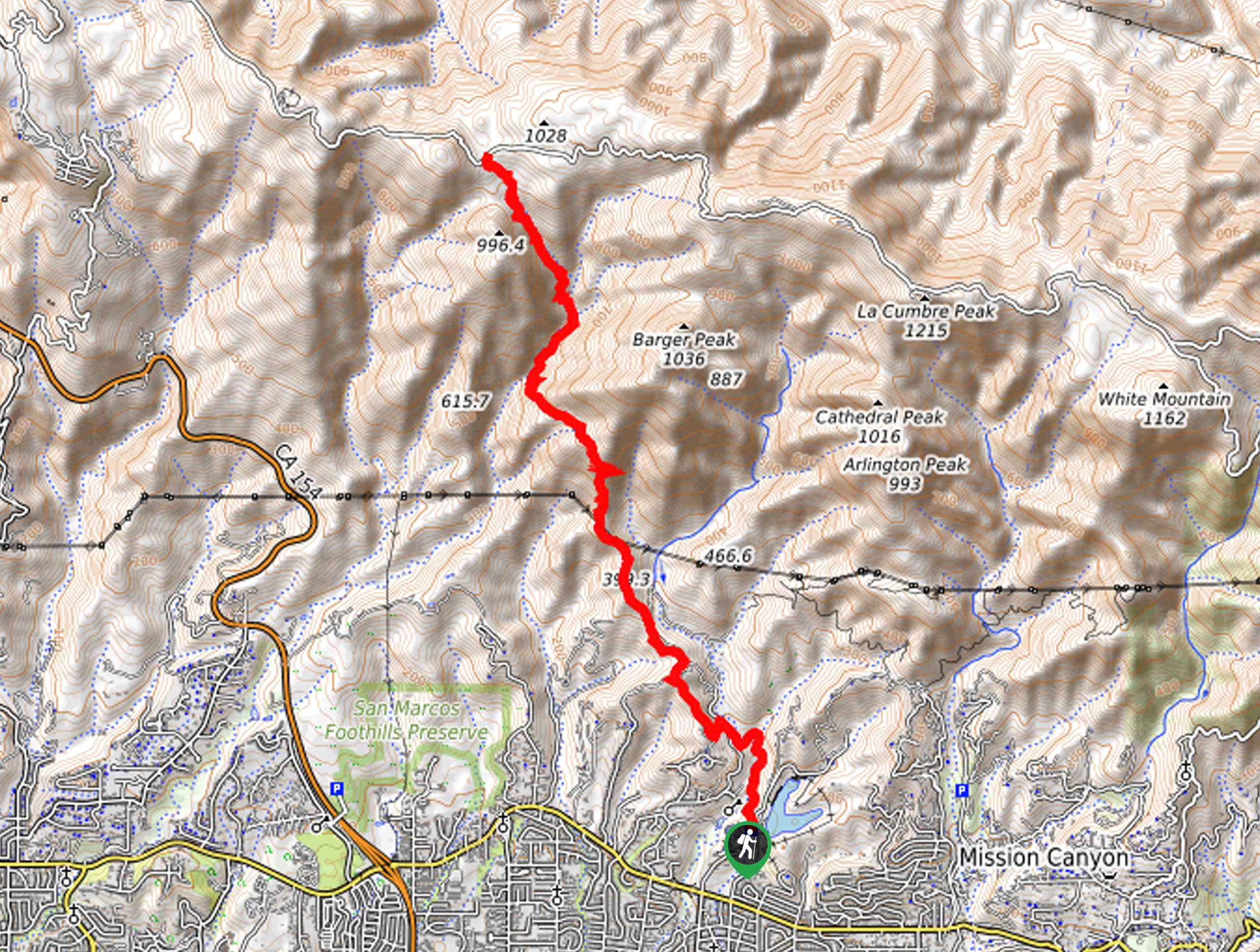
34. Tunnel Trail
Difficulty
The Tunnel Trail is a demanding adventure into the Santa Ynez Mountains above Santa Barbara.… Read More
35. Romero Canyon Loop
Difficulty
The Romero Canyon Trail is a demanding adventure reserved for experienced hikers and intrepid spirits.… Read More
36. Pratt Trail
Difficulty
The Pratt Trail is an incredible adventure in the Los Padres National Forest that travels… Read More
37. Pratt and Fox Canyon Loop
Difficulty
Seeking an easy-going family adventure near Ojai, CA? Well, you have come to the right… Read More
38. Sisar Canyon Road Hike
Difficulty
Leading adventurers along a well-maintained fire route, the Sisar Canyon Road Hike boasts a wonderful… Read More
39. Cozy Dell Trail
Difficulty
The Cozy Dell Trail is a wonderful adventure that boasts technical terrain and amazing scenery.… Read More
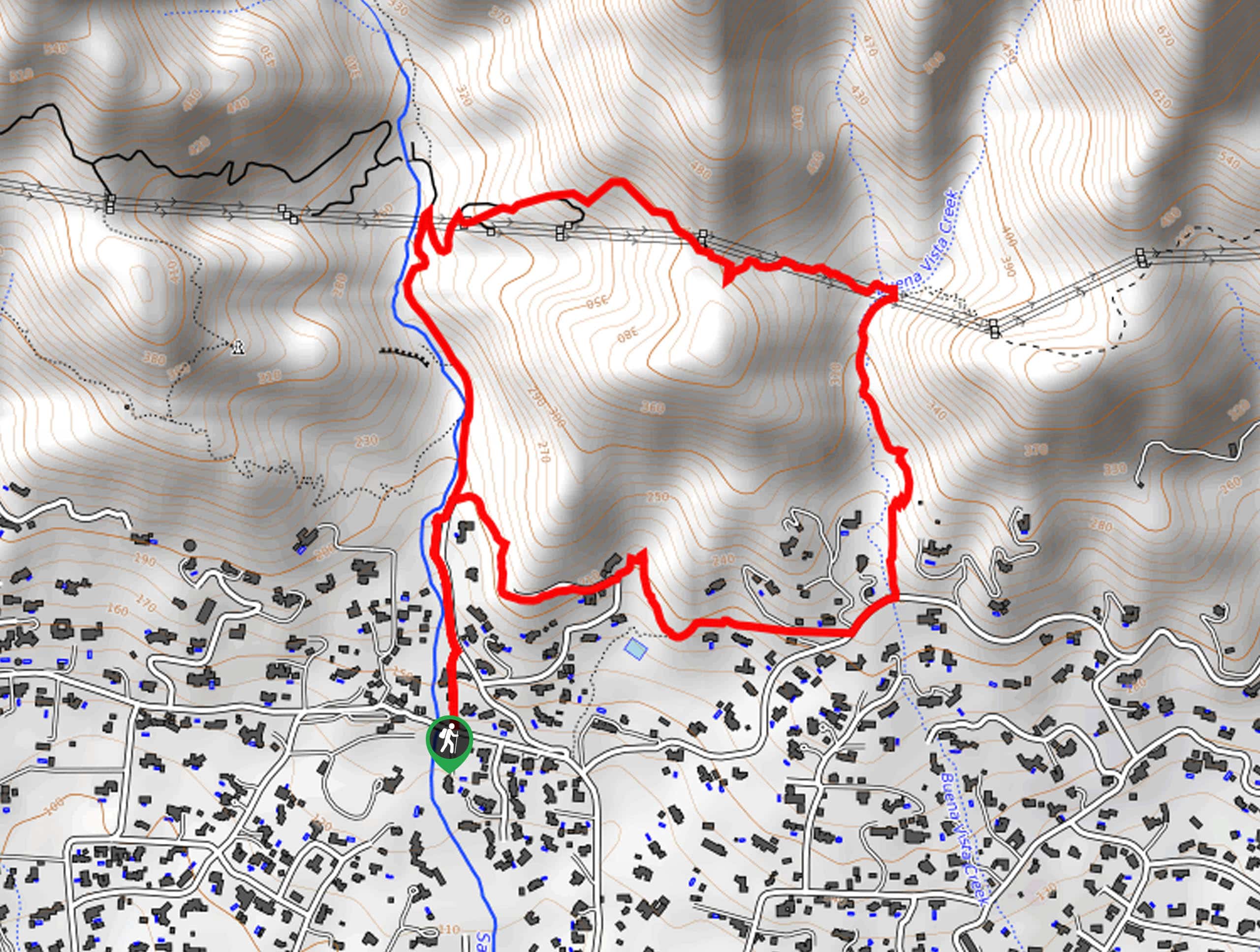
40. Arroyo Burro Trail
Difficulty
Seeking a challenging adventure near Santa Barbara? The Arroyo Burro Trail is a high-demand, high-reward… Read More
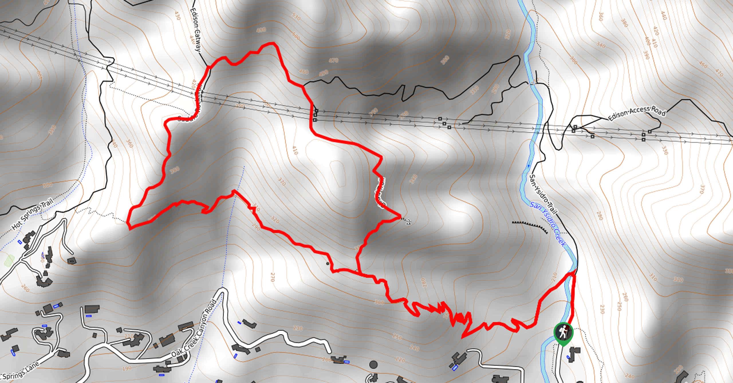
41. San Ysidro Creek and Catway Loop
Difficulty
Explore the foothills of the Santa Ynez Mountains along the San Ysidro Creek and Catway… Read More
42. McMenemy Trail
Difficulty
The McMenemy Trail boasts a magical day of hiking in the Los Padres National Forest.… Read More
43. Woodland Falls Trail
Difficulty
The Woodland Falls Trail is a wonderful adventure in the San Emigdio Mountains that offers… Read More
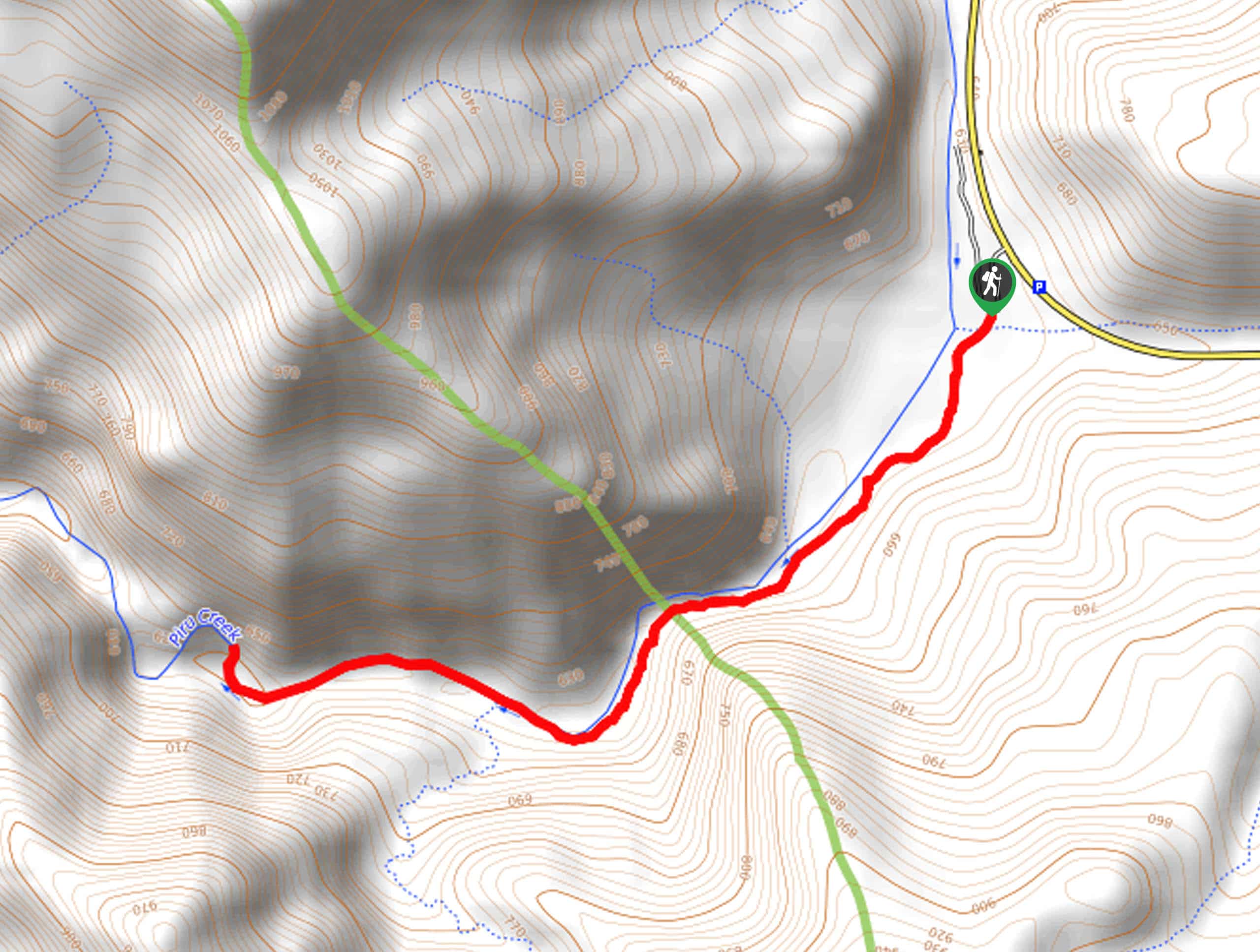
44. Piru Creek Trail
Difficulty
Meander through a corridor of looming canyon walls along the Piru Creek Trail. This family-friendly… Read More
45. Last Chance Trail
Difficulty
The Last Chance Trail is an amazing adventure through the Santa Paula Canyon amongst the… Read More
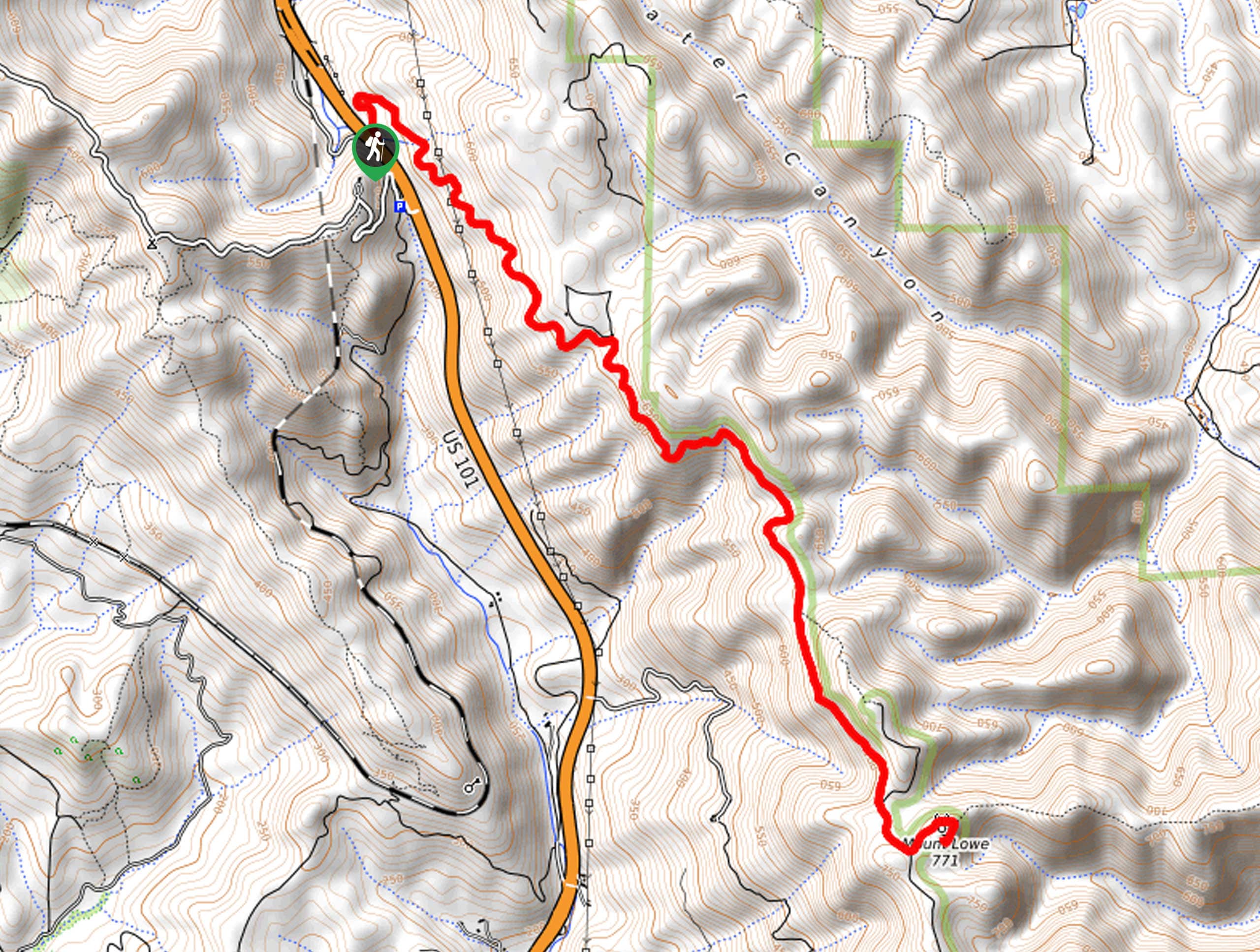
46. Mount Lowe Trail
Difficulty
Immerse yourself in the San Luis Obispo Range along the Mount Lowe Trail. This wonderful… Read More
47. Aliso Canyon Trail
Difficulty
The Aliso Canyon Trail is a wonderful nature trail that offers impressive scenery. Explore the… Read More
48. Gridley Trail
Difficulty
The Gridley Trail is an amazing nature trail in the Los Padres National Forest reserved… Read More
49. Potrero John Creek Trail
Difficulty
The Potrero John Creek Trail is a wonderful adventure through the desert-like terrain into the… Read More
50. Condor Summit and Vincent Tumamait Trail
Difficulty
The Condor Summit and Vincent Tumamait Trail is an awesome adventure through the San Emigdio… Read More
51. Piedra Blanca Camp Trail
Difficulty
The Piedra Blanca Camp Trail is an awesome adventure in the Los Padres National Forest… Read More
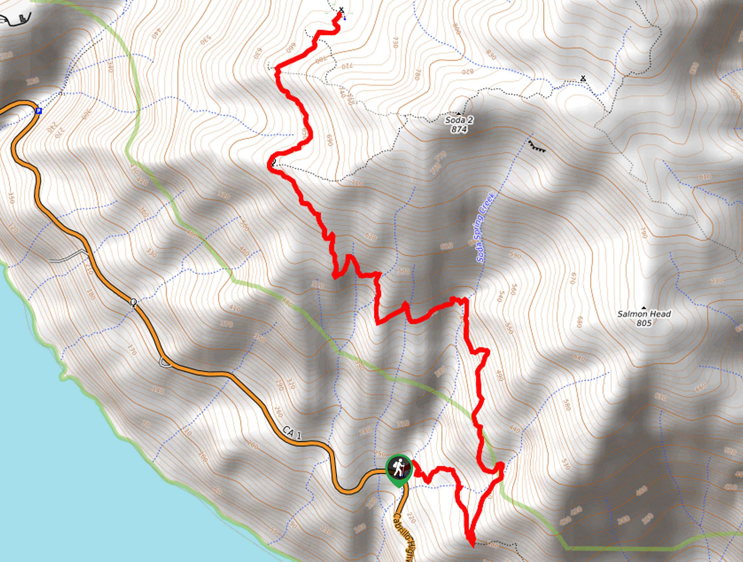
52. Soda Springs Creek Hike
Difficulty
The Soda Springs Creek Hike is a wonderful adventure along the California coast that boasts… Read More
53. Spyglass Ridge Road Hike
Difficulty
The Spyglass Ridge Road Hike would make a wonderful addition to an experienced hiker’s adventure… Read More
54. Tequepis Trail
Difficulty
Challenge yourself along the Tequepis Trail. This demanding adventure in the Los Padres National Forest… Read More
55. Brazil Ranch Trail
Difficulty
The Brazil Ranch Trail is an amazing adventure in the Los Padres National Forest that… Read More
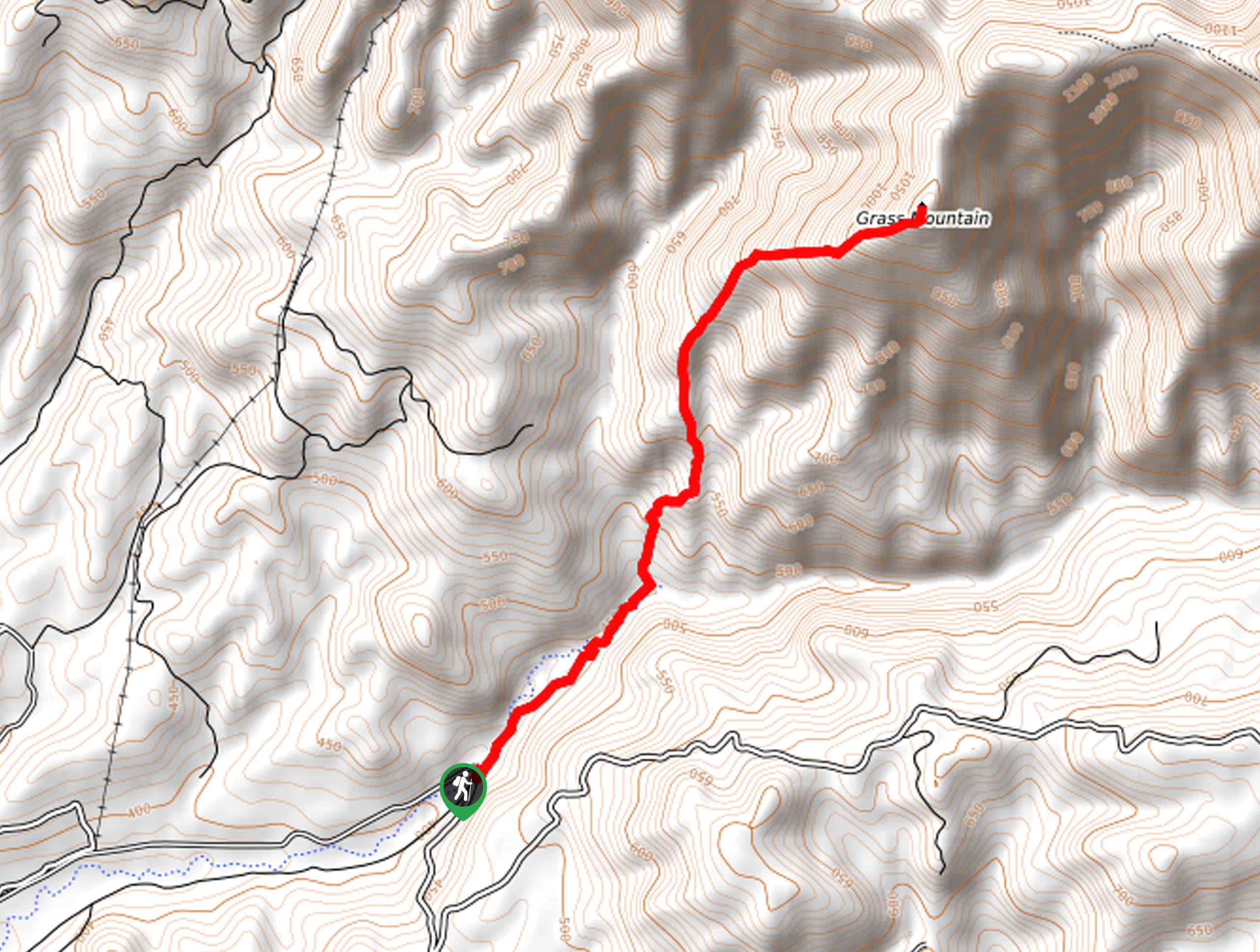
56. Grass Mountain Trail
Difficulty
The Grass Mountain Trail is an amazing adventure in the Los Padres National Forest that… Read More

57. Romero Canyon Trail
Difficulty
The Romero Canyon Trail is an exciting nature trail that exhibits the diversity and beauty… Read More
Are we missing your favourite hike?
Tell us! If you've got photos, a GPS track and know the hike, we'd love to share your favourite hike with the rest of the 10Adventures community.