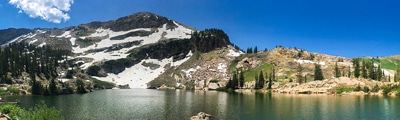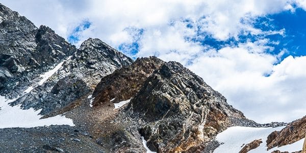
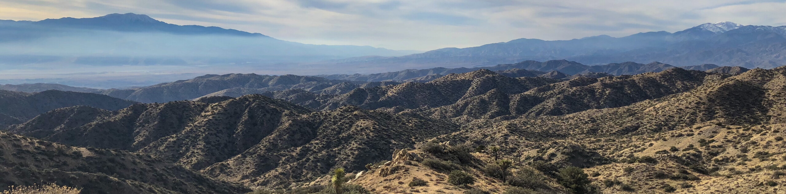
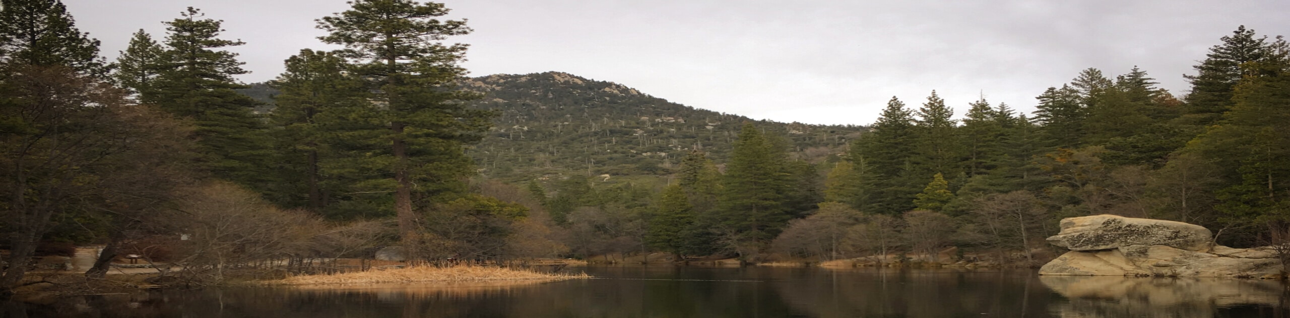
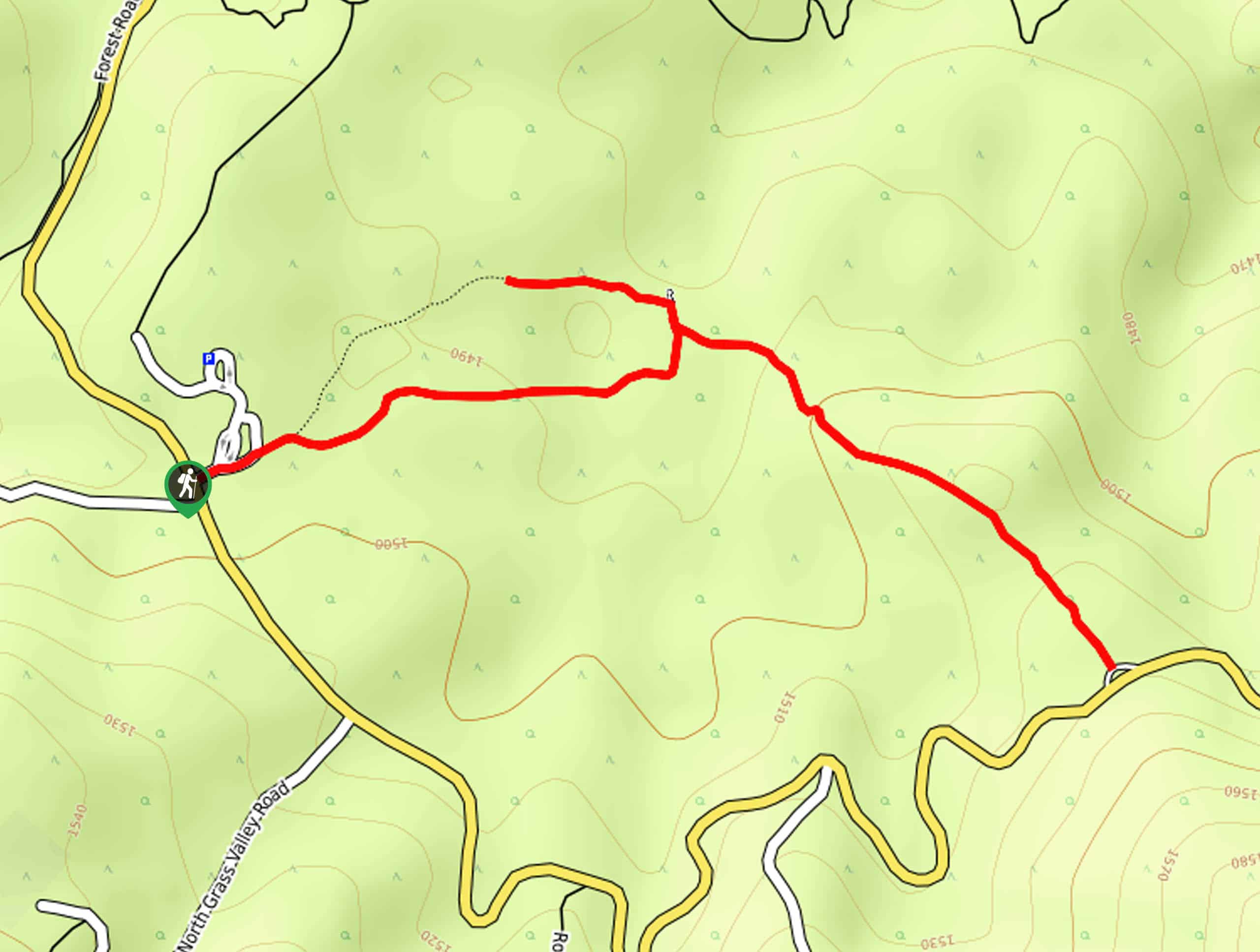
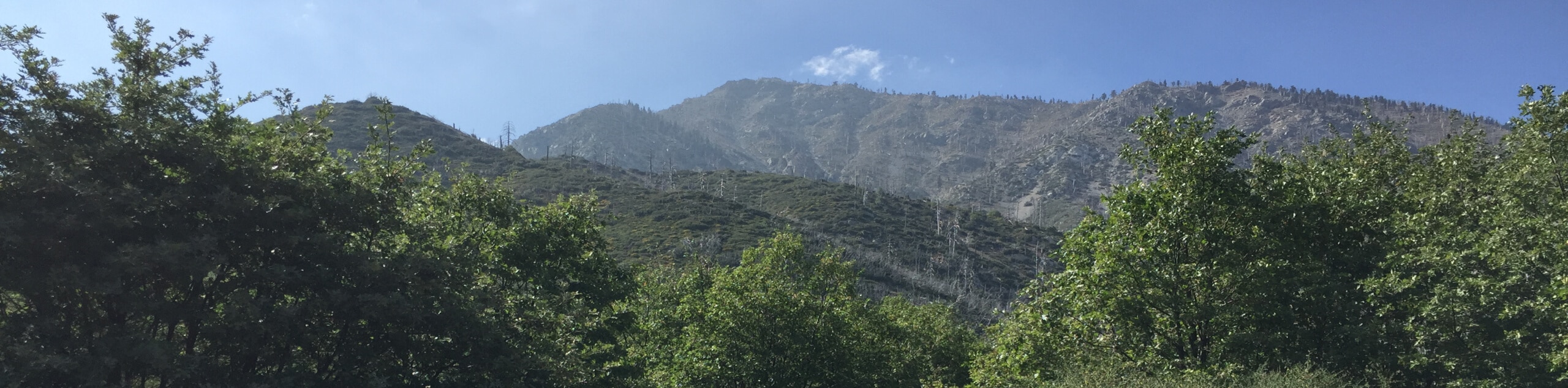
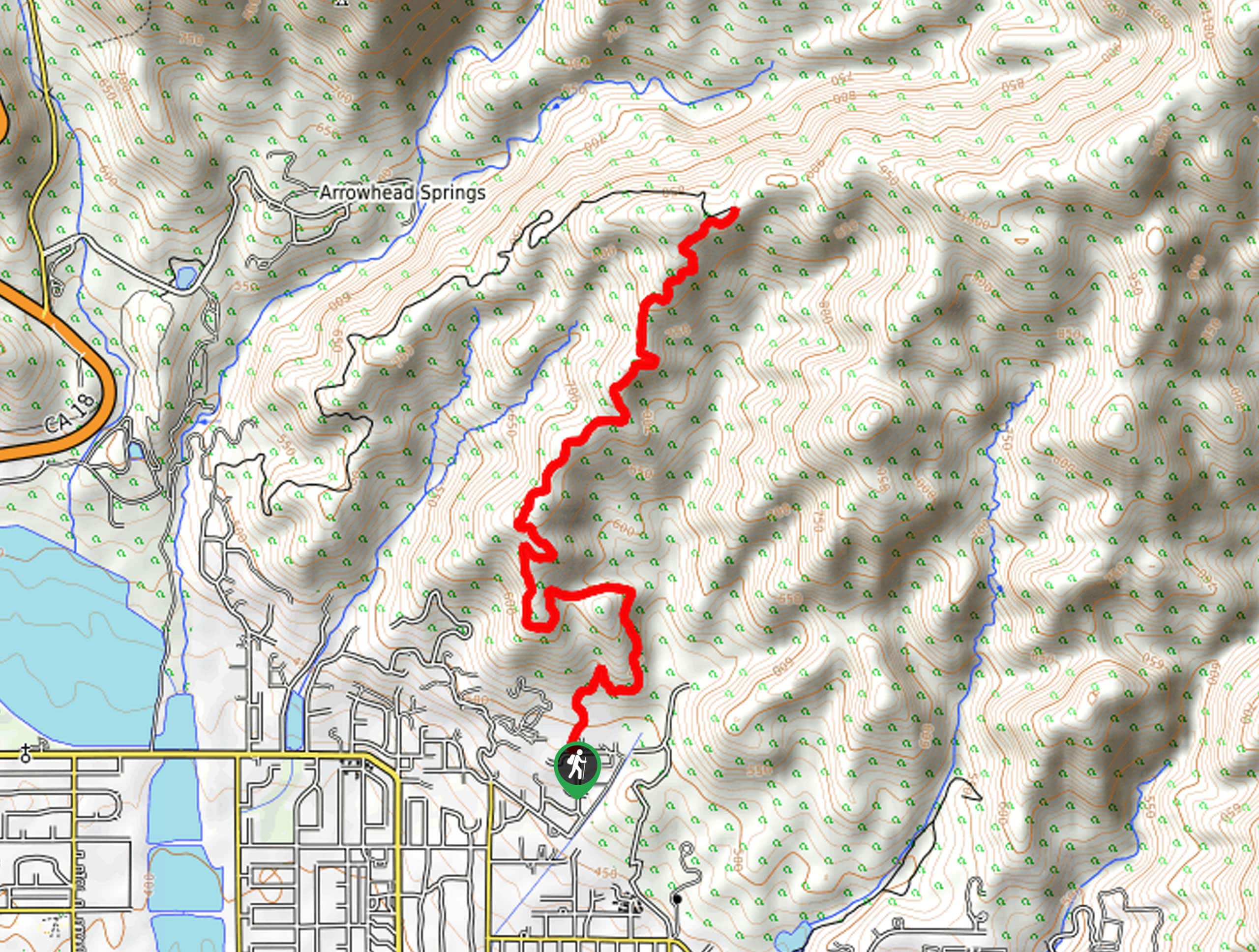
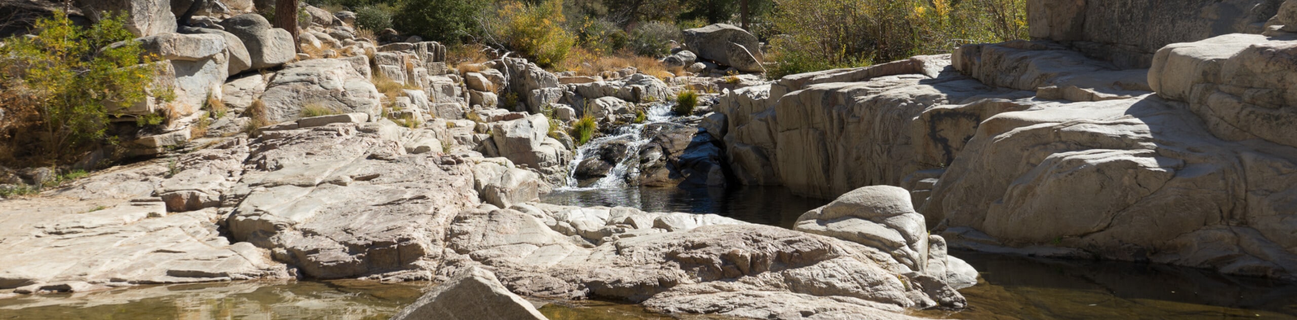
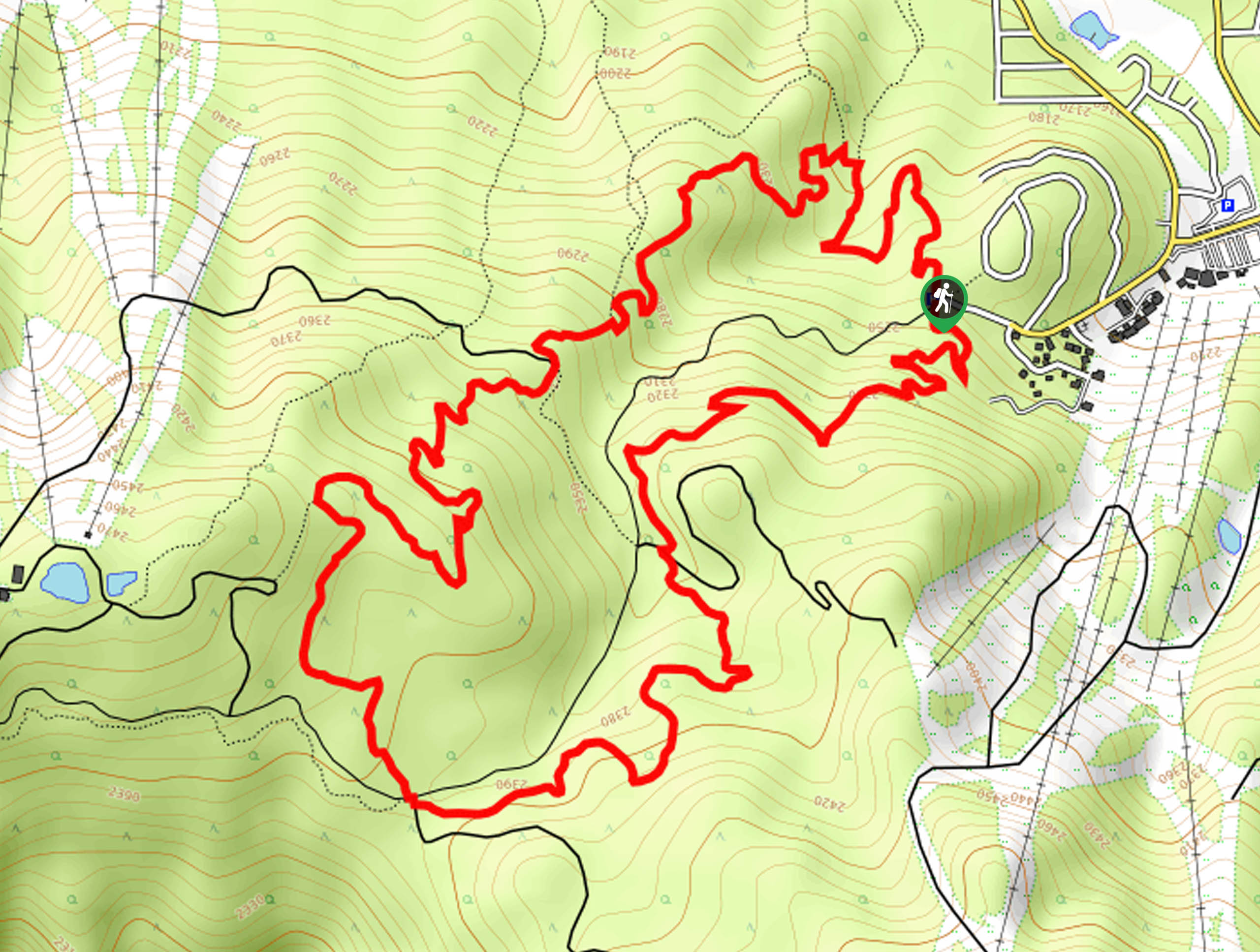
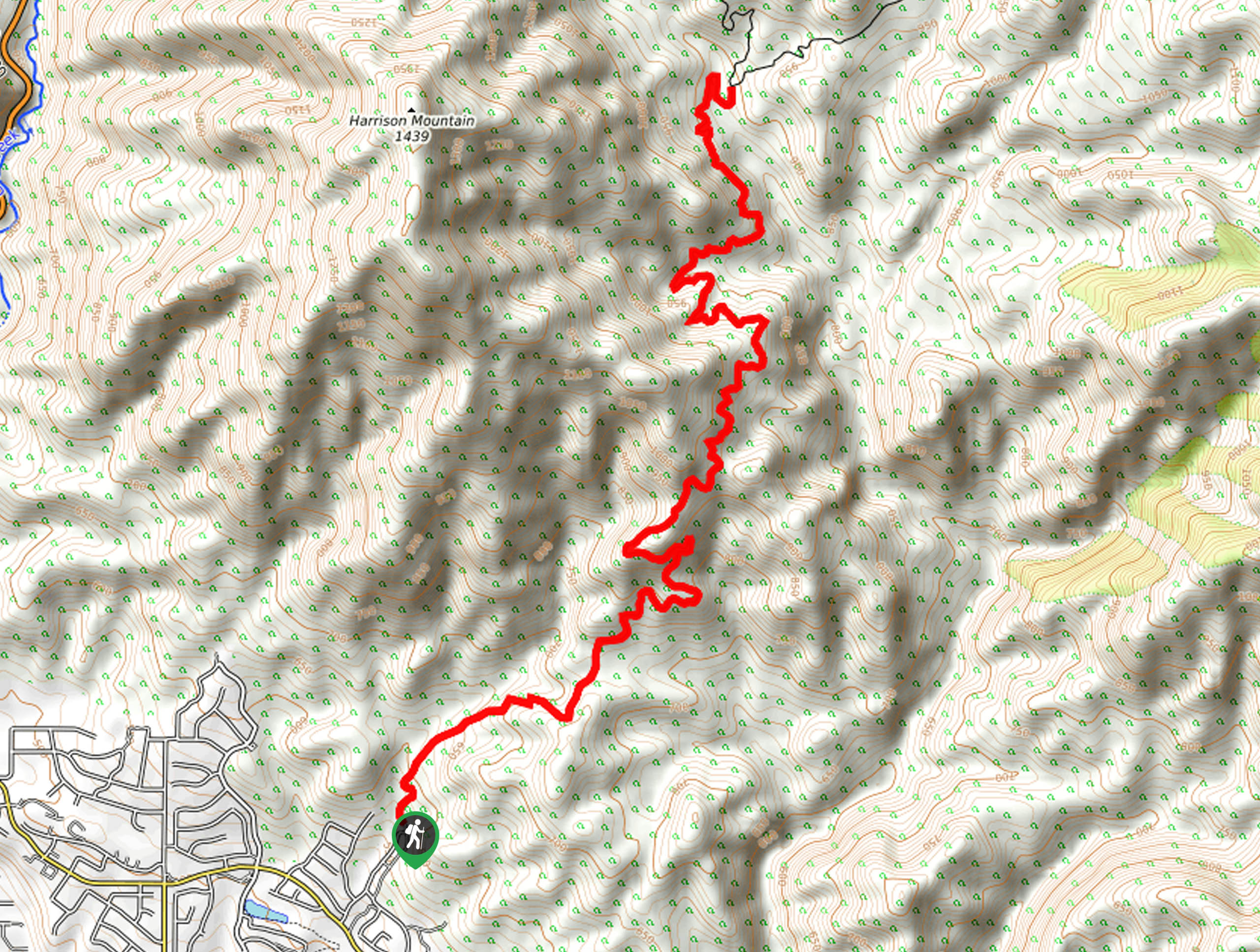
hikes in San Bernardino National Forest
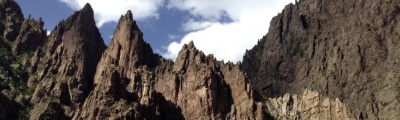
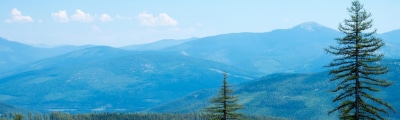
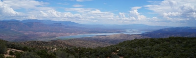
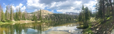
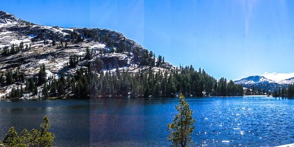
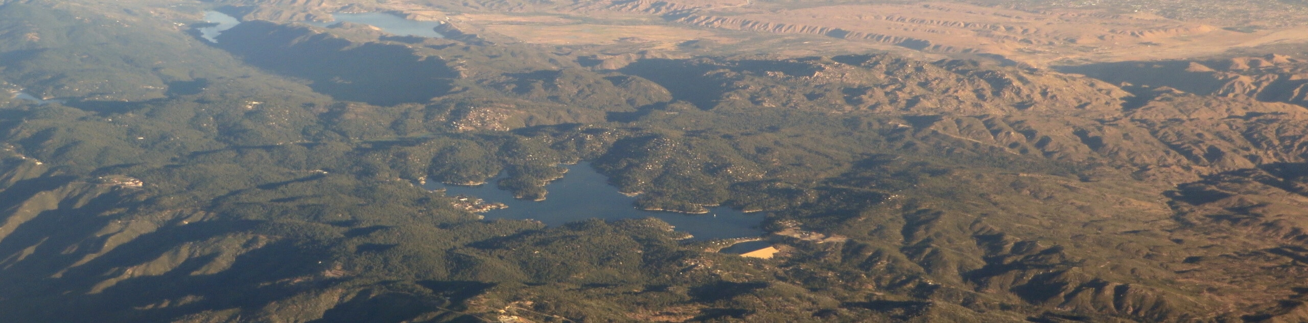
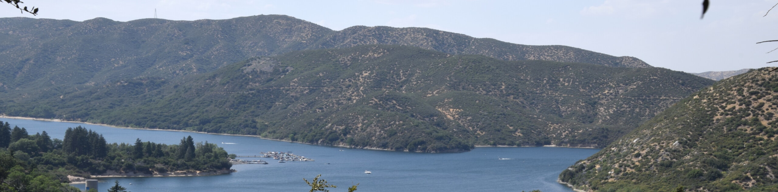
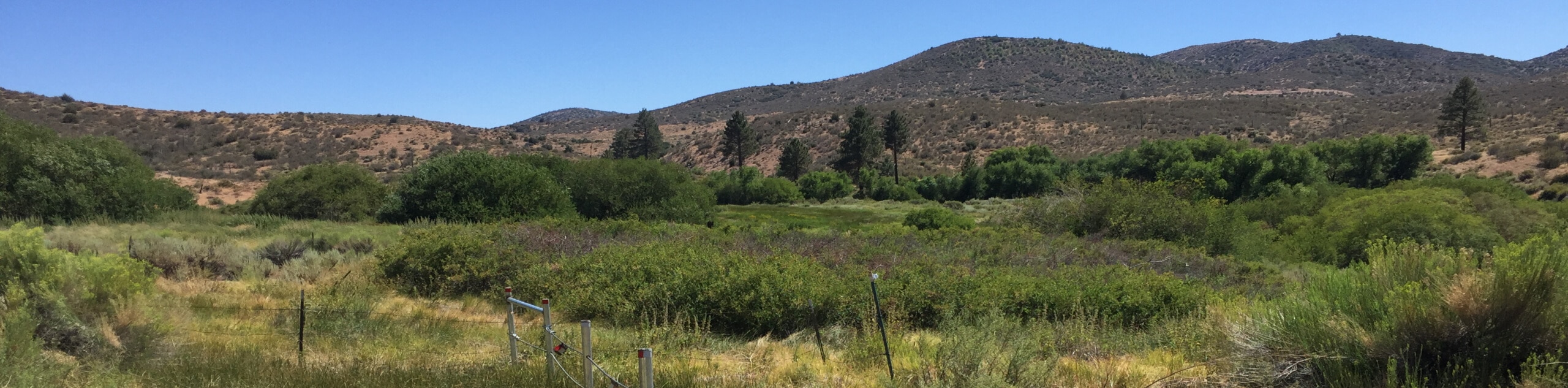
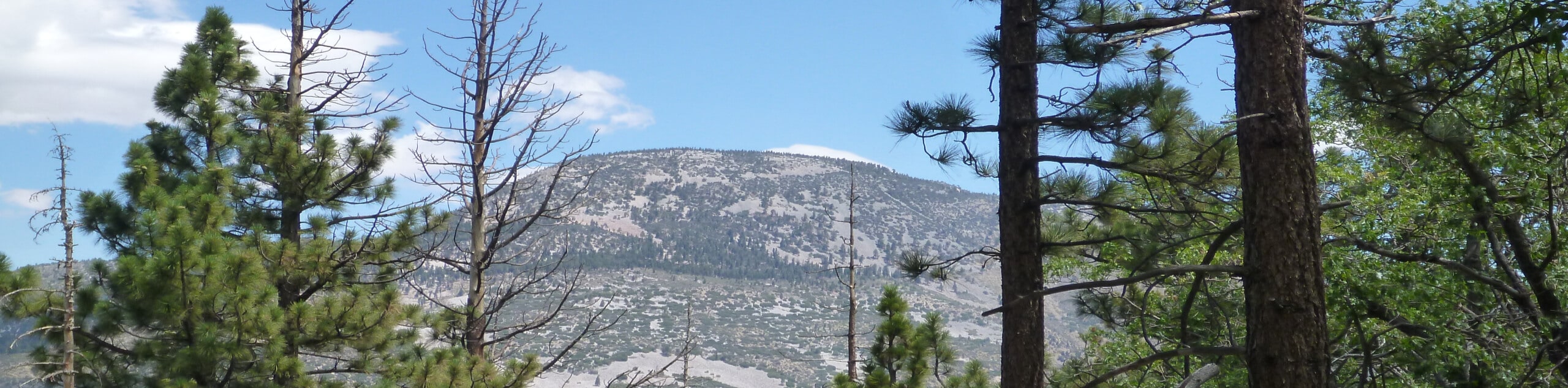
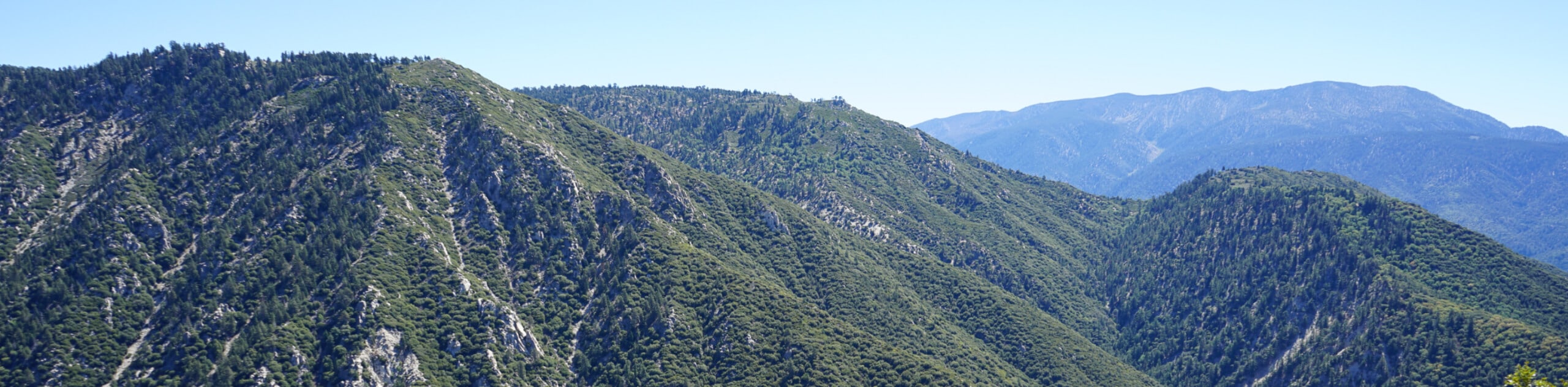
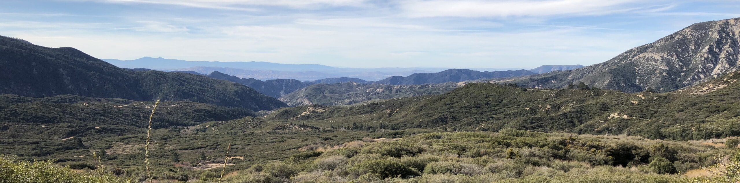
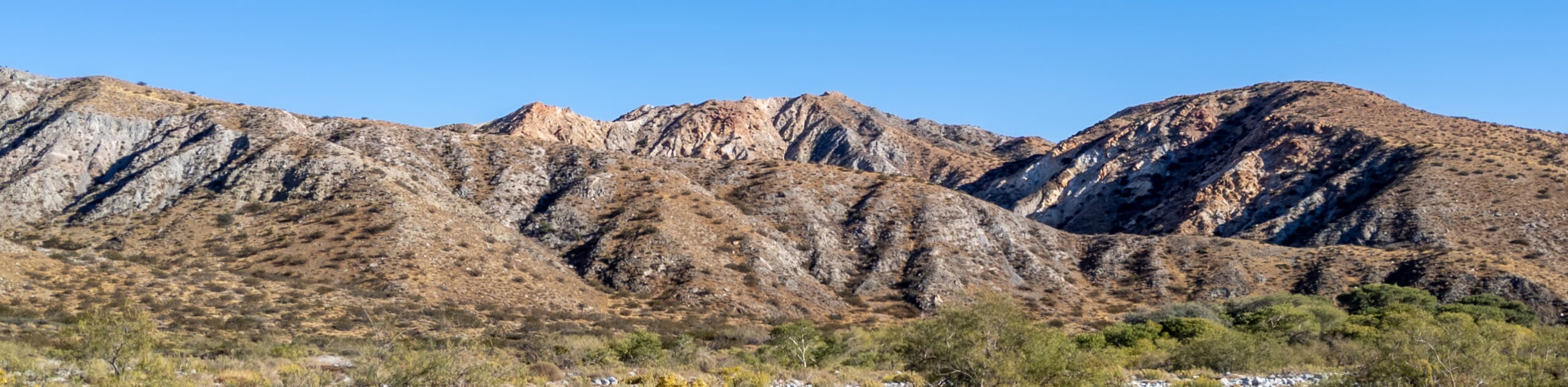
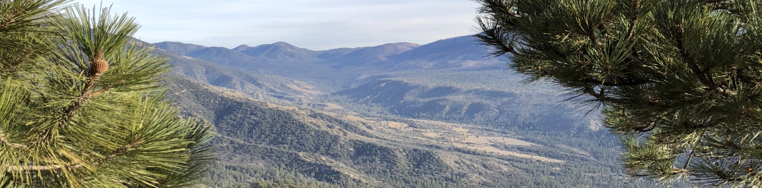
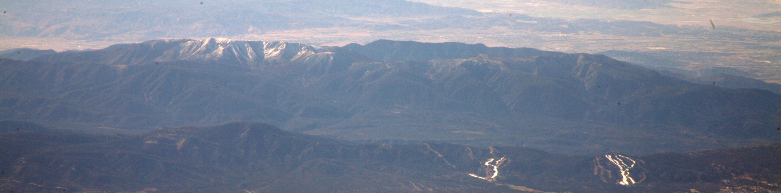
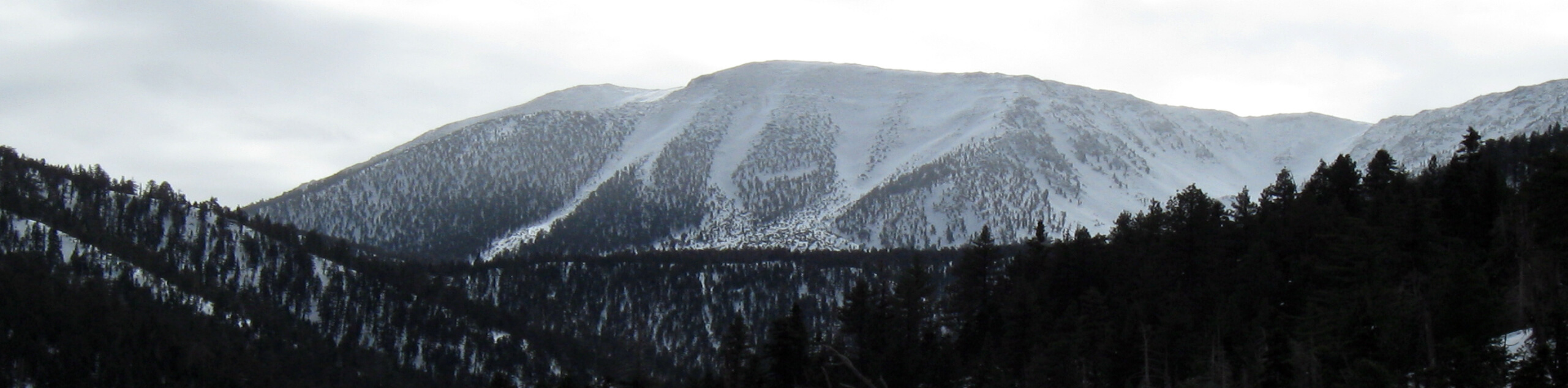
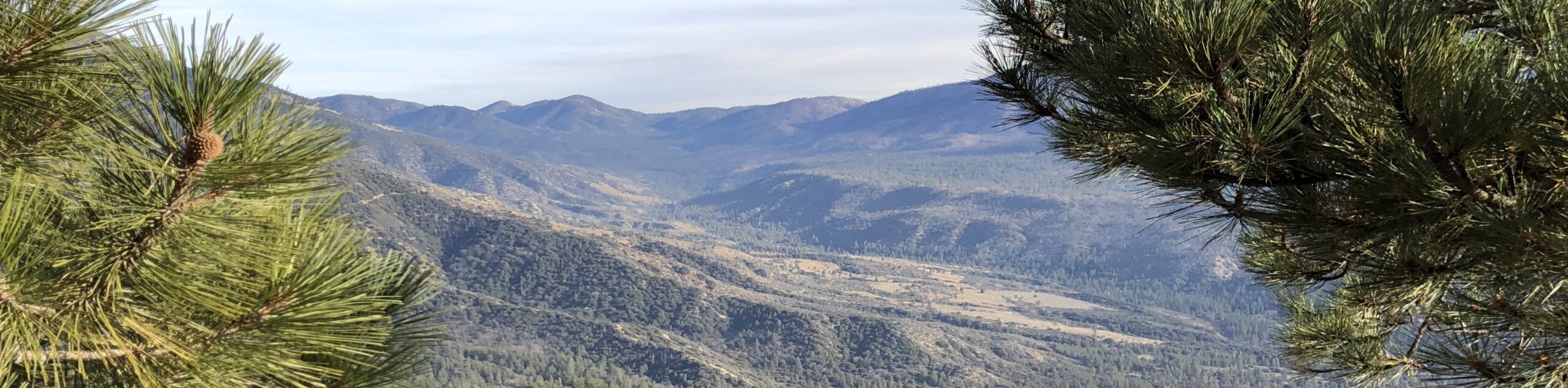
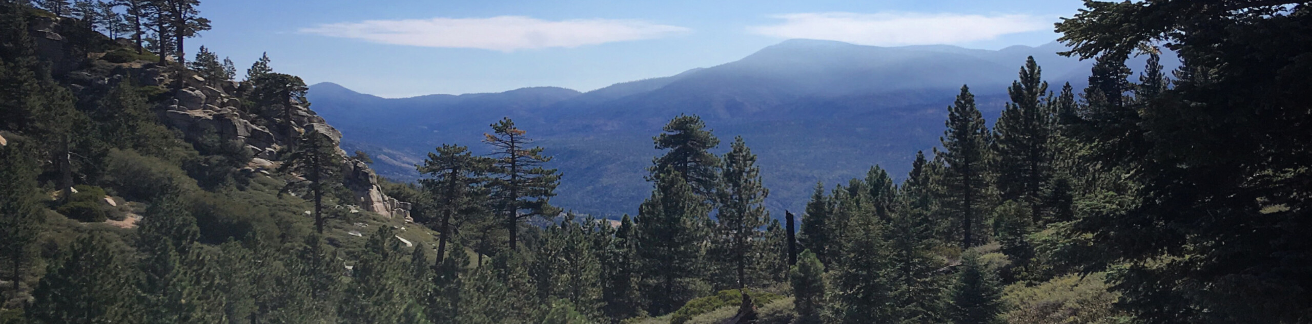
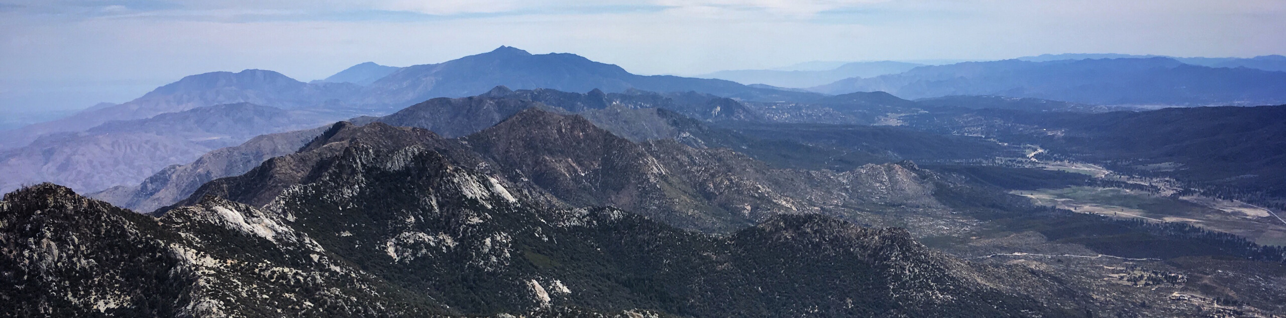
San Bernardino National Forest encompases a vast area of 823,816 acres of wild land, which is largely split into two separate mountainous regions. These consist of the San Bernardino and San Gabriel Mountains of the Transverse Range, as well as the Santa Rosa and San Jacinto Mountains of the Peninsular Range, which make for a rugged, yet truly beautiful landscape that begs to be explored. With plenty of charming lakes, winding rivers, and low-lying valleys to break up the undulating terrain, there is always a new and exciting adventure waiting around every corner.
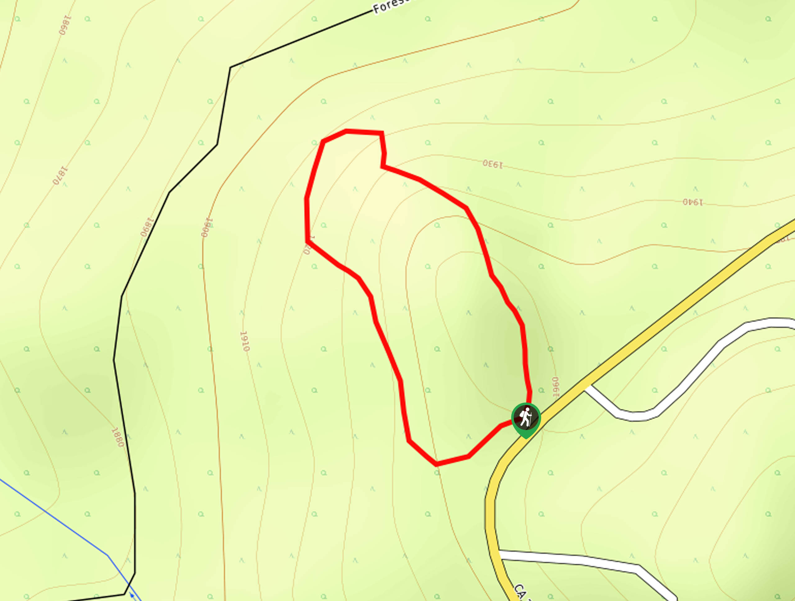
With its close proximity to several high population areas in Southern California, the San Bernardino National Forest is one of the most popular hiking destinations in the entire state. Featuring hundreds of miles of hiking trails (including the world-renowned Pacific Crest Trail), beautifully scenic mountain peaks, seven designated wilderness areas, and forty-seven Yellow Post campsites, there are nearly endless possibilities when it comes to exploring this vast and beautiful part of So Cal.
10 Amazing Hiking Routes In San Bernardino National Forest
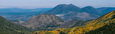
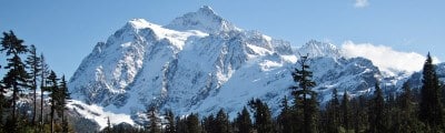
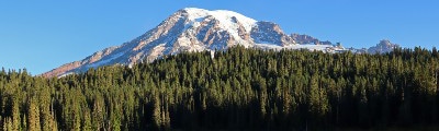
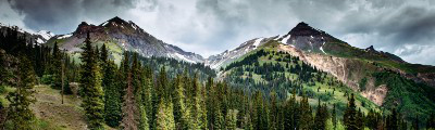
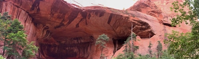
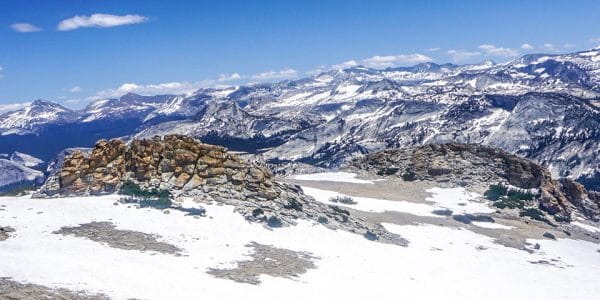
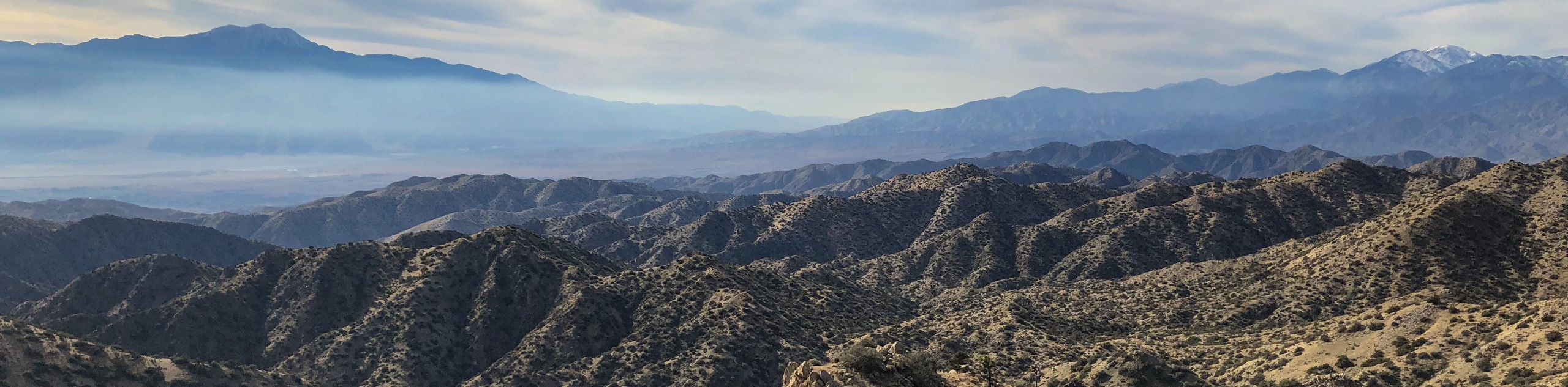
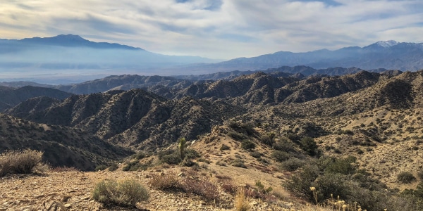
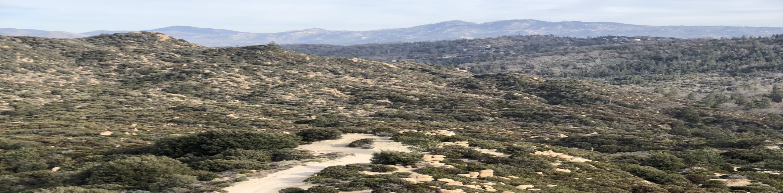
The diverse landscape of the San Bernardino National Forest includes rugged mountain peaks, great expanses of woodland terrain, sprawling deserts, and beautiful lakes, making it perfectly suited for exploration on foot. Not only are there plenty of terrain types that will keep you busy for countless hours, but there are trails that suit every age and skill level. So whether you are a seasoned trekker looking to navigate backcountry mountain paths, or are setting out with the family for a low key creekside adventure, you can check out the below list of amazing hiking routes in San Bernardino National Forest for inspiration.
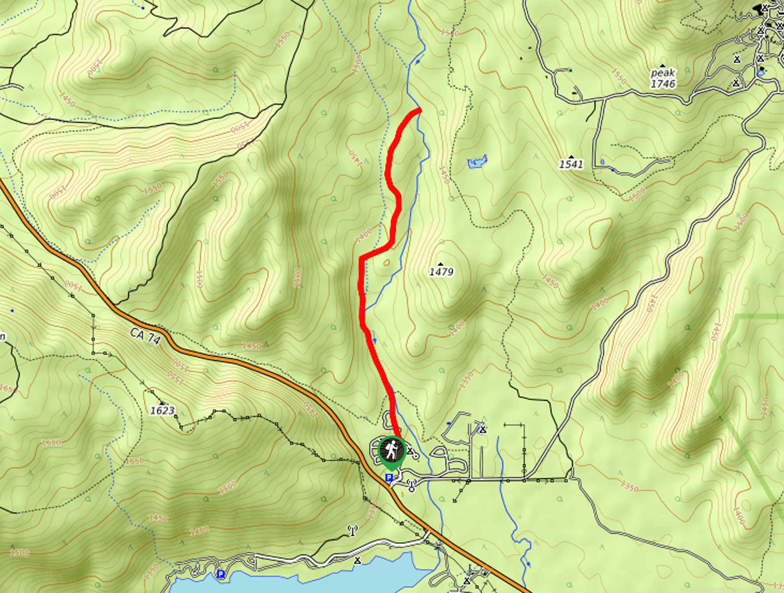
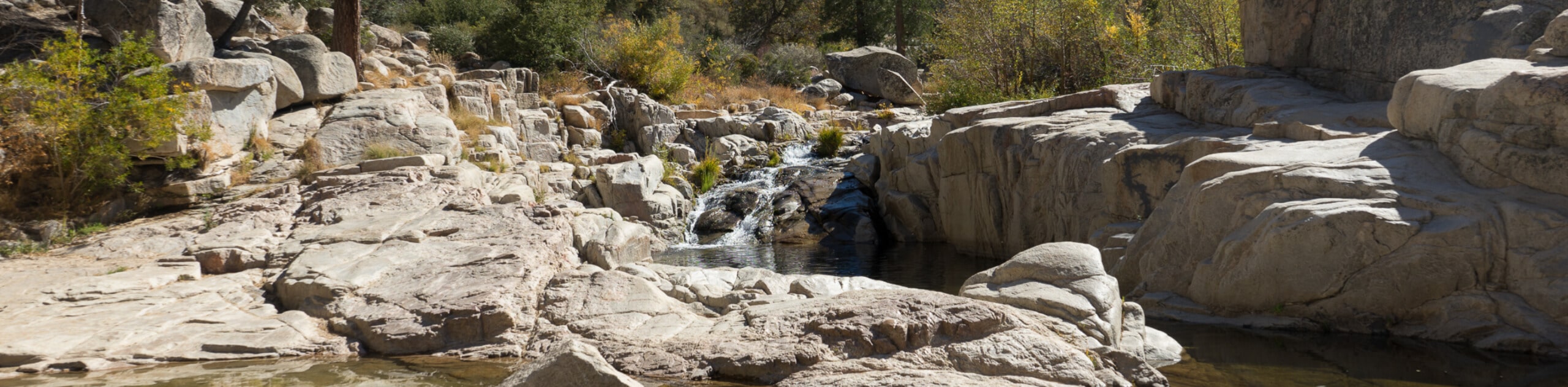
- Deep Creek Hot Springs Trail: A fantastic hiking route in San Bernardino National Forest, this trail will lead you through a stretch of desert terrain to reach a series of relaxing thermal pools set along the expanse of Deep Creek.
- The Living Desert Wilderness Loop Trail: Featuring beautifully scenic views overlooking the Coachella Valley and access to the nearby zoo, this hiking route is perfectly suited for a great family-friendly adventure.
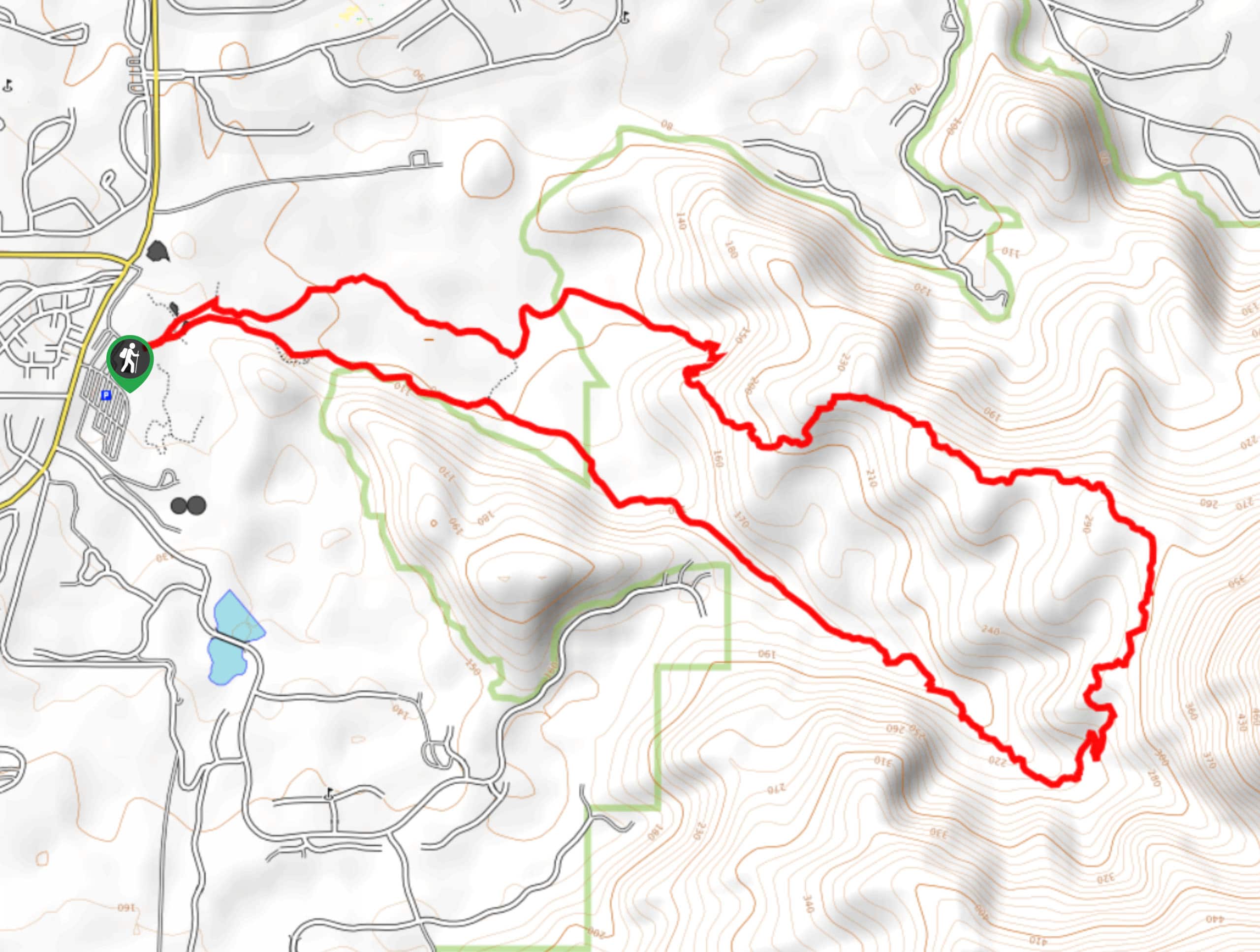
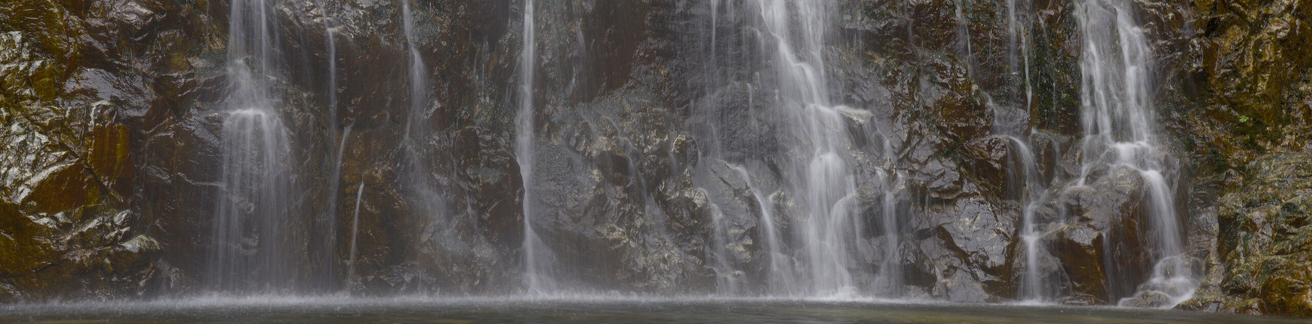
- Bonita Falls Trail: While the Bonita Falls Trail may be a bit on the short side, it is an exceptional route that features easy-going terrain and wonderful views looking out onto a cascading waterfall.
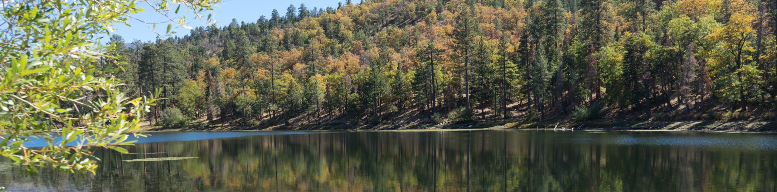
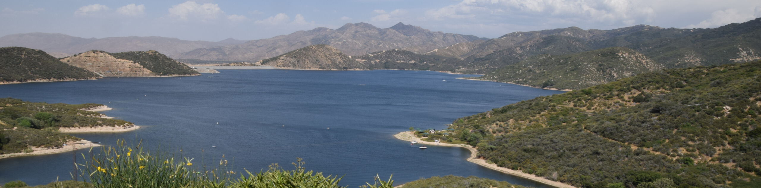
- Jenks Lake Trail: For those adventurers that are after a relaxing forest walk with views of a scenic lake, the Jenks Lake Trail is the perfect route that can be enjoyed with the entire family.
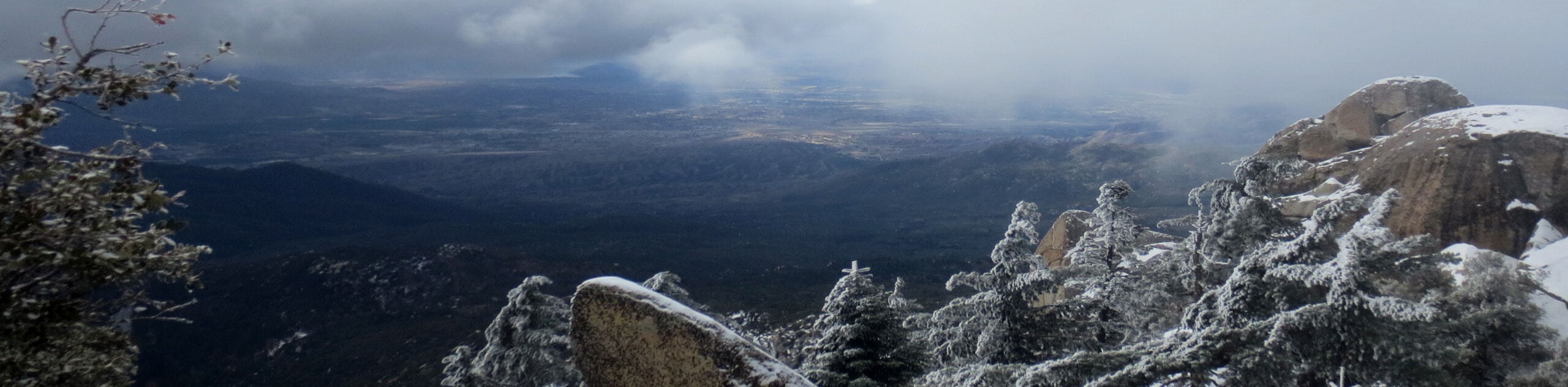
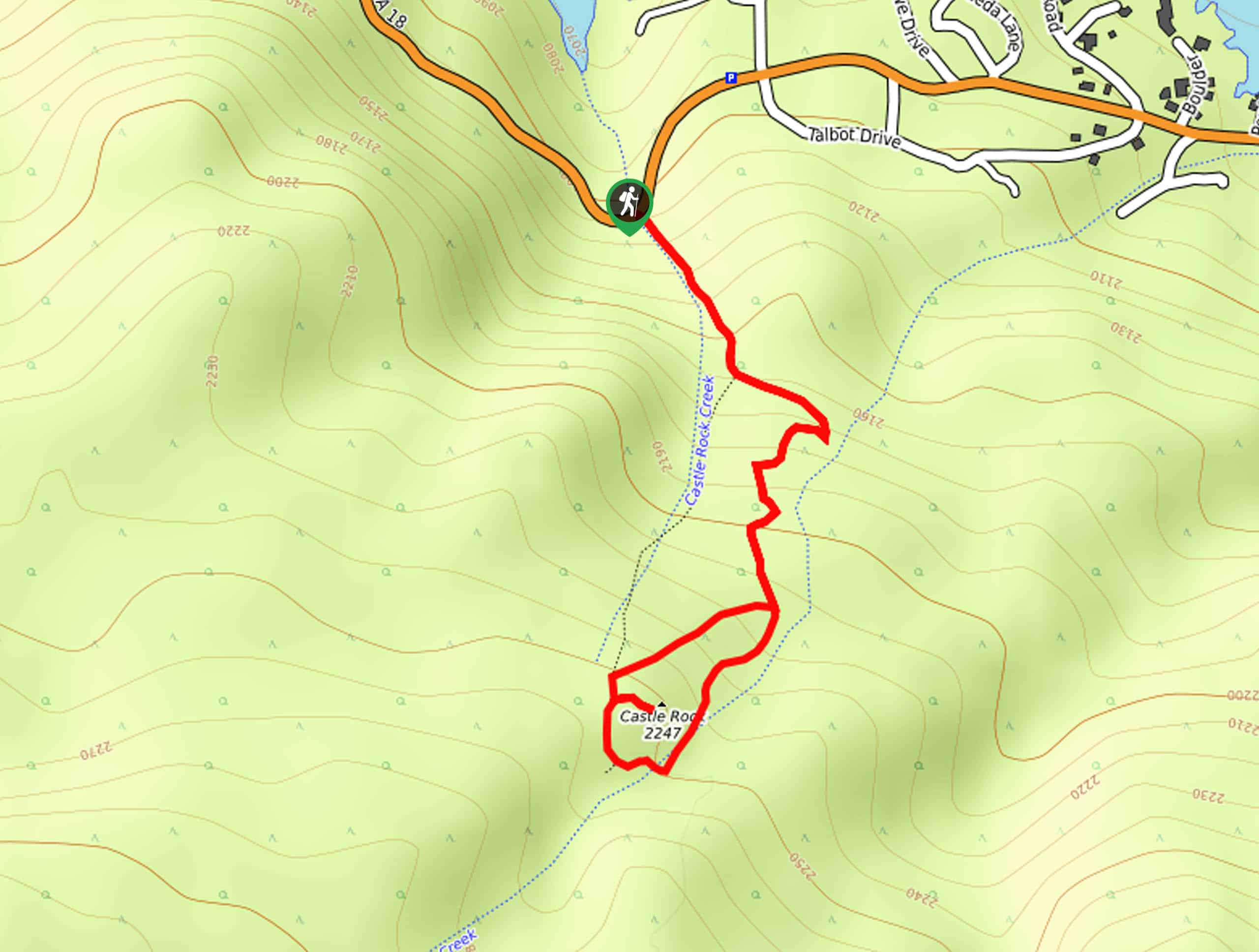
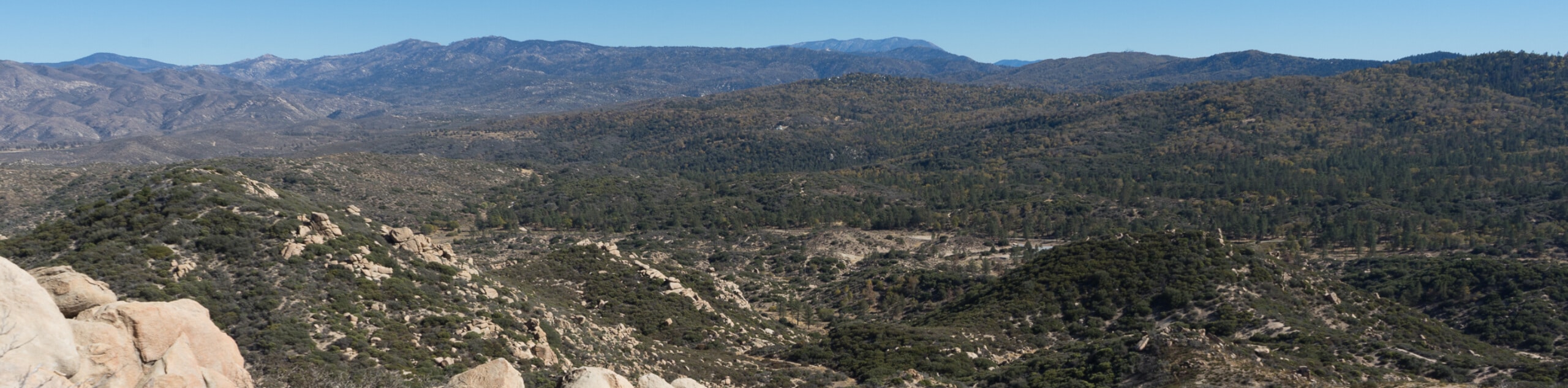
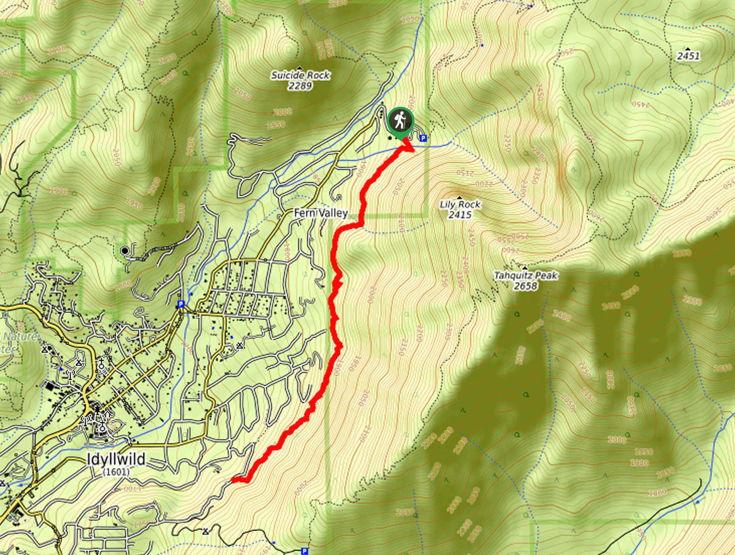
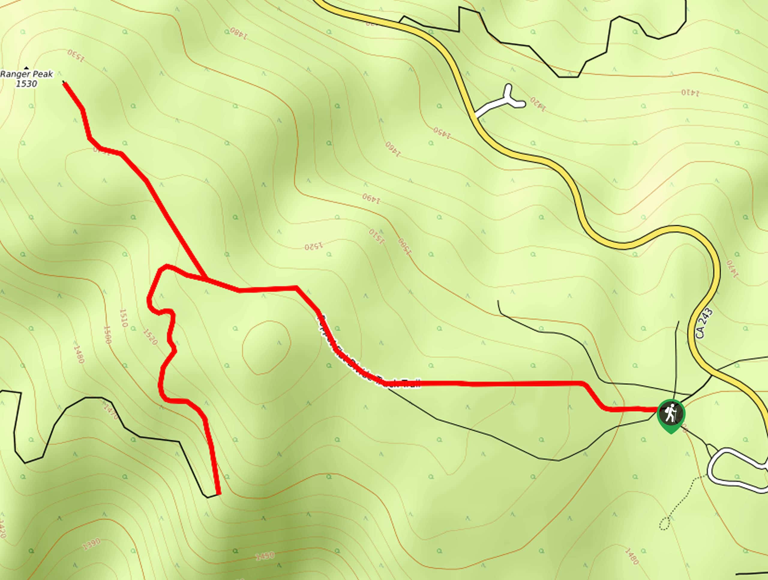
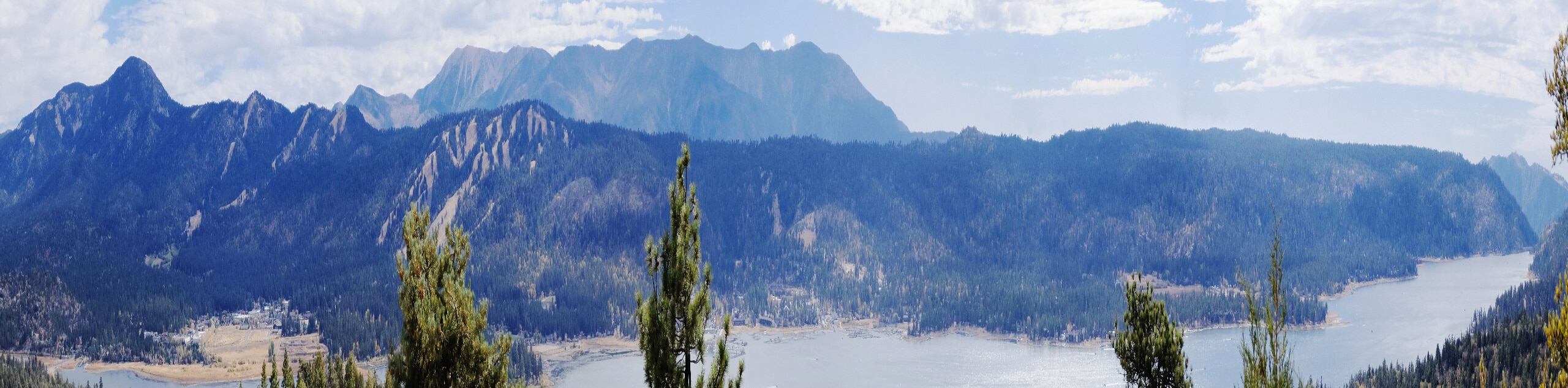
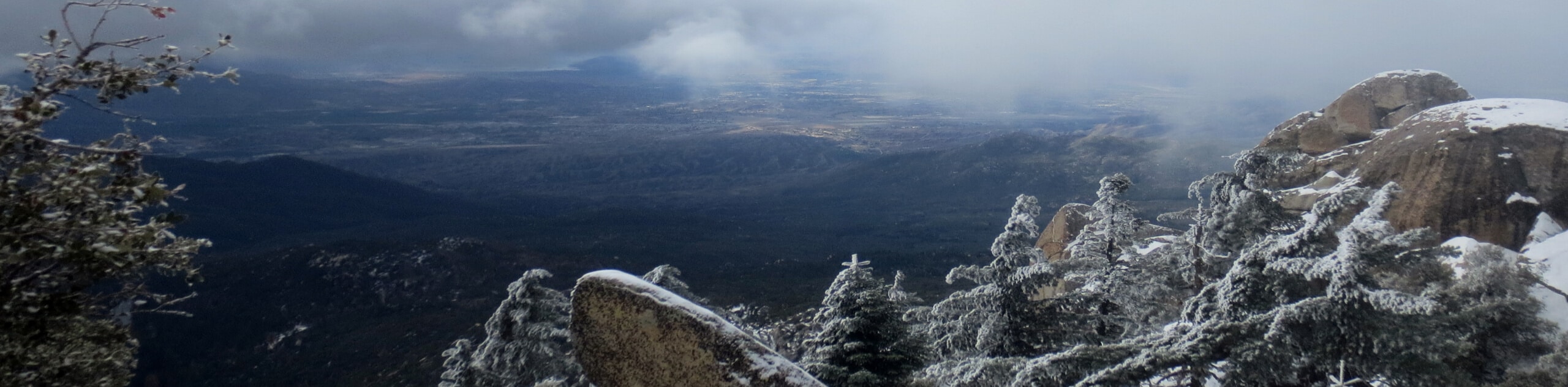
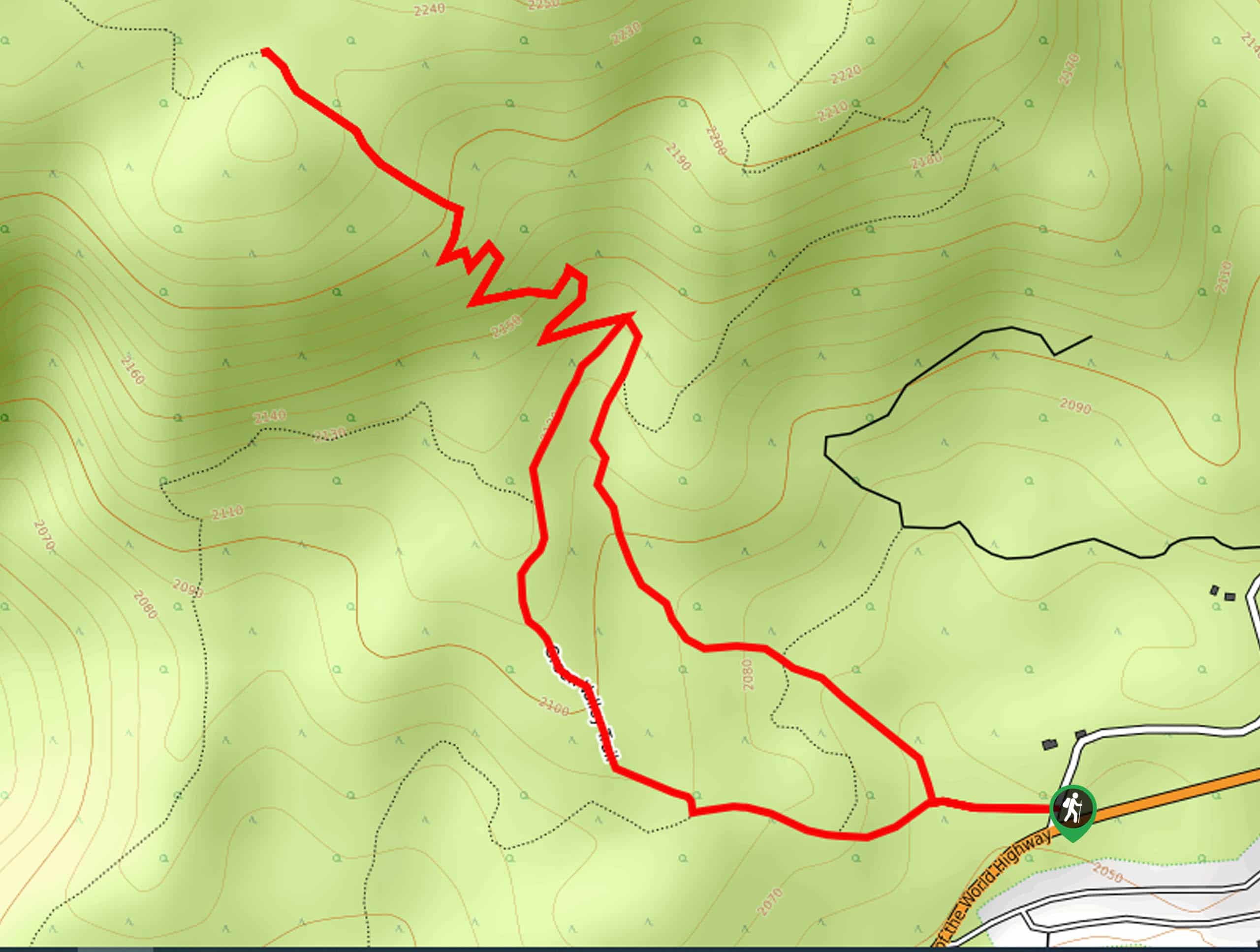
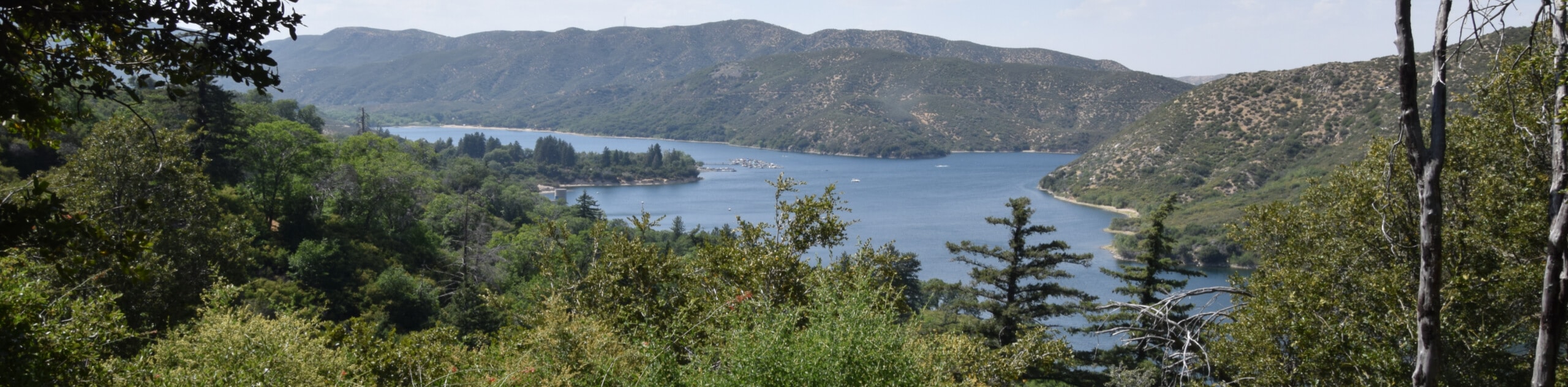
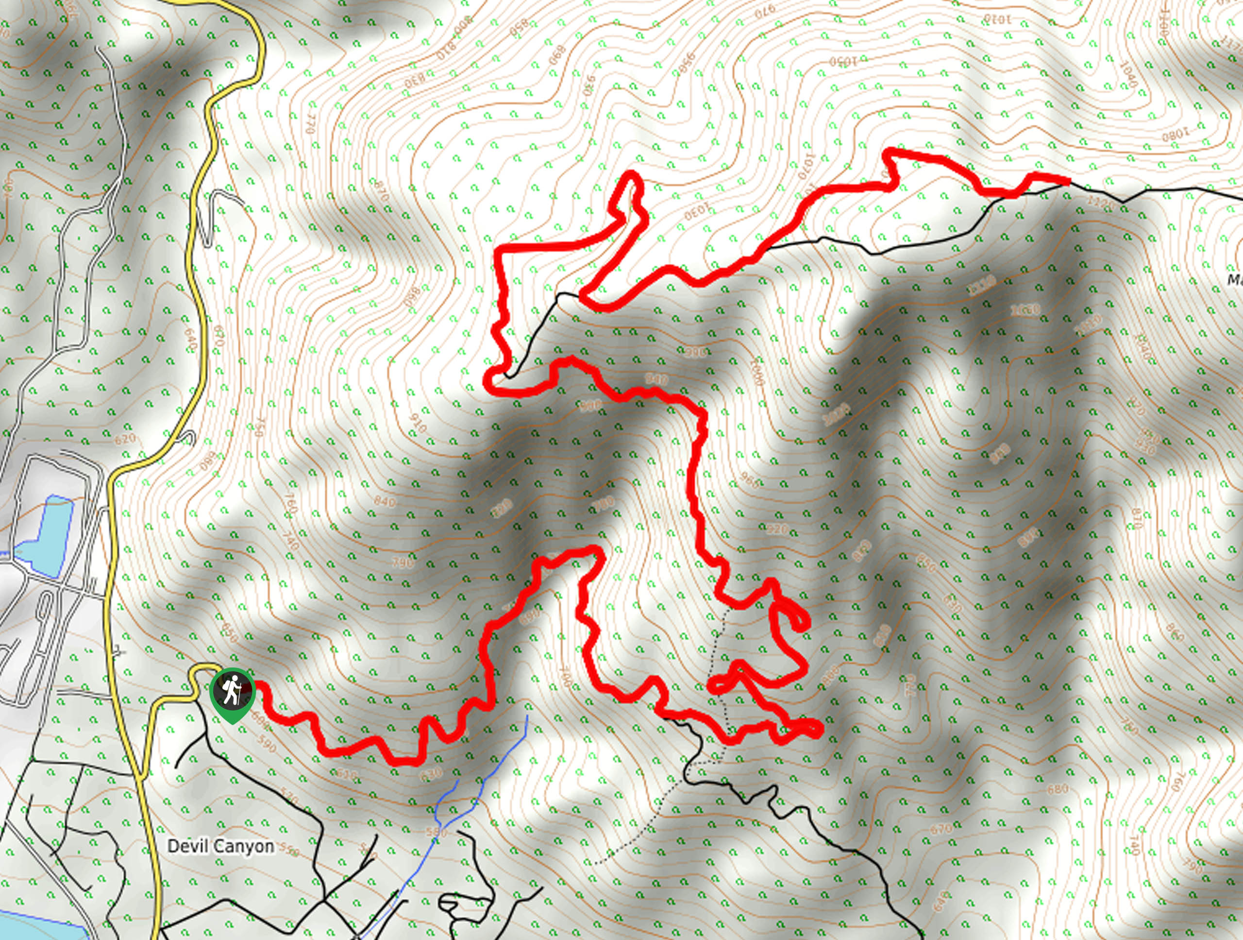
- Castle Rock Trail: The Castle Rock Trail is a steep hiking route in the Big Bear Lake area of San Bernardino National Forest that will lead you uphill to a rocky vantage point with gorgeous views overlooking the water.
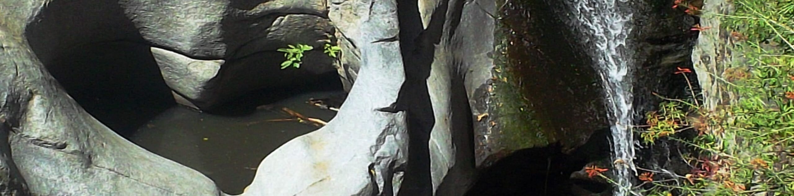
- Heart Rock Trail: Another quick and easy family-friendly hike, the Heart Rock Trail is a lovely adventure through the forest that will take you to a viewpoint looking onto the Seely Creek Falls and an interesting weathered rock depression in the shape of a heart.
- Bear Lake Woodland Trail: A lovely interpretive trail in the San Bernardino National Forest, this hike will see you traverse a short loop along laidback terrain that features informative signs to learn about the flora and fauna of the surrounding area.
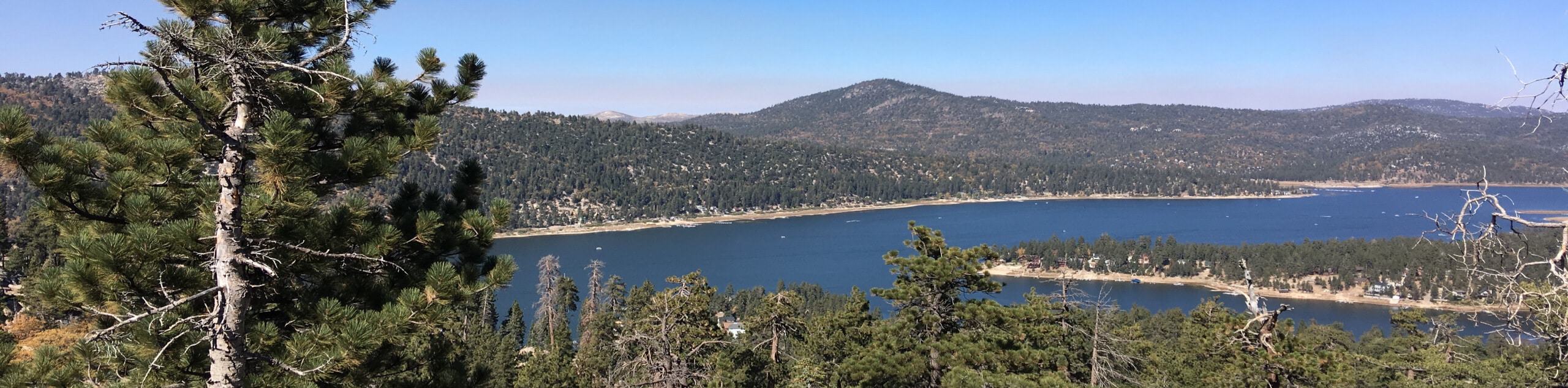
- Bertha Peak Trail: This amazing route will lead you up the rugged terrain of the Cougar Crest Trail in order to summit Bertha Peak, where you will experience wonderful views overlooking Big Bear Lake.
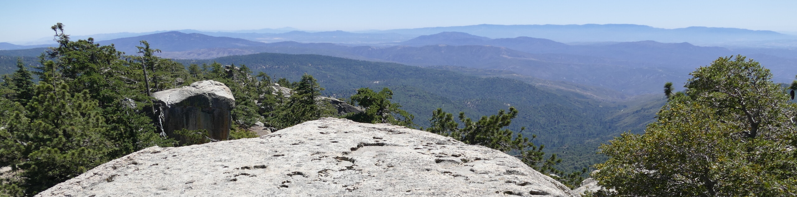
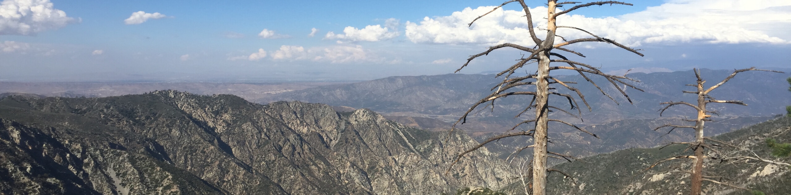
- Pine Knot Trail to Grand View Point Hike: Another great route in the Big Bear Lake area, this trail will take you uphill through some beautiful stretches of forest and meadow to access the stunning lookout at Grand View Point that offers sweeping views of the surrounding landscape.
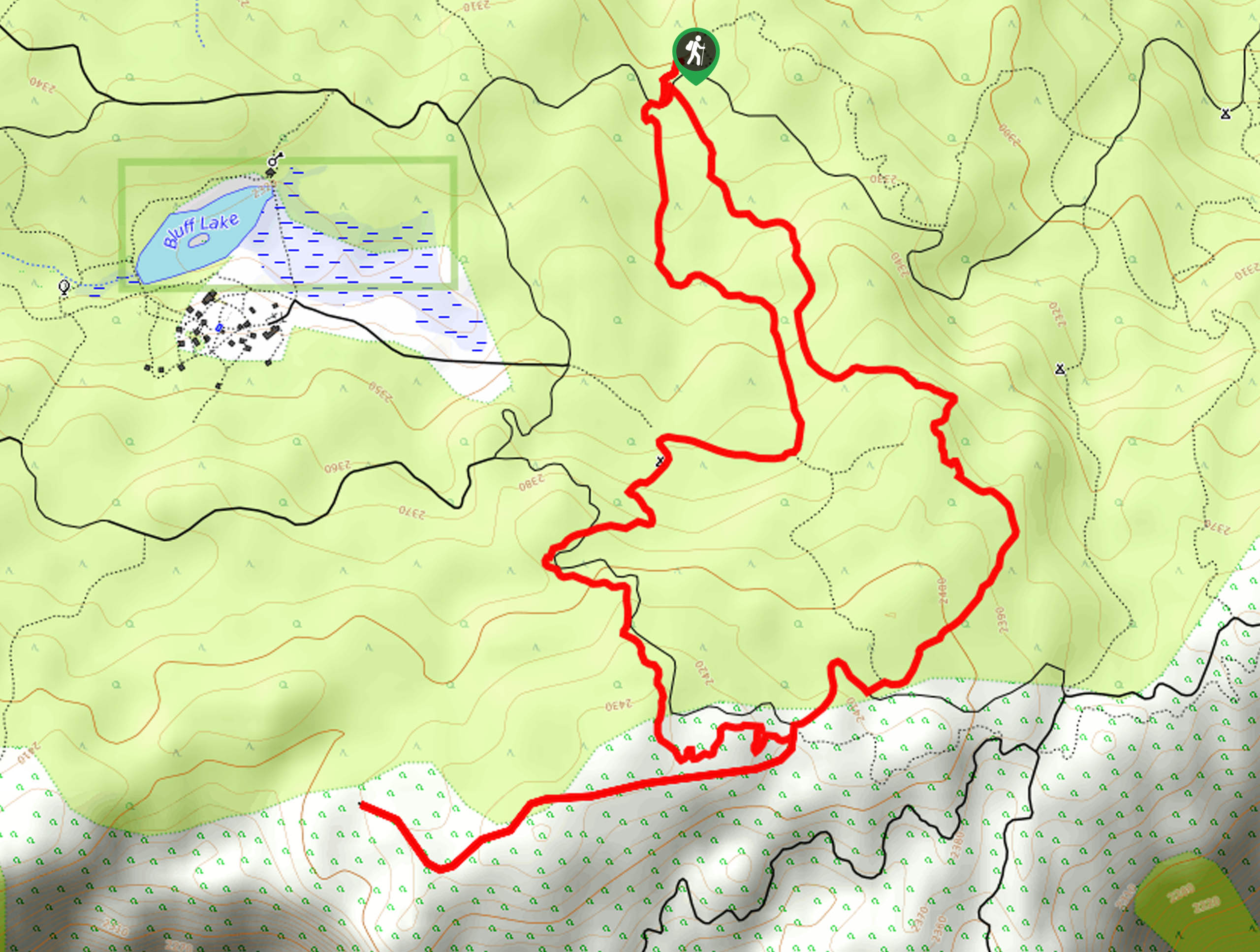
- Champion Lodgepole Hike: This is a fantastic hiking route in the Big Bear Lake area that will lead you up the steep trail past Castle Rock and Bluff Lake to visit a tall Lodgepole Pine that is estimated to be around 450 years old.
When is the Best Time to Hike in San Bernardino National Forest?
Many of the hiking trails within San Bernardino National Forest are accessible year-round; however, some - particularly those that are at higher elevations in the mountains - are not suitable in the winter. If you are looking to get the most out of your hiking excursion in the wild expanse of the San Bernardino National Forest, try timing your trip for the spring to autumn seasons when the weather is most favourable.
Other Outdoor Activities in the San Bernardino National Forest
With hundreds of miles of recreational trails in the area, hiking is certainly one of the most popular activities in the San Bernardino National Forest; however, there are a wide variety of things to do outdoors if you are hoping for a different experience. In the summer, popular adventures include cycling, camping, horseback riding, fishing, hunting, and wildlife viewing, as well as water sports like kayaking, canoeing, and paddleboarding. For those who prefer the winter months, alpine activities like skiing, snowboarding, snowshoeing, and even snowmobiling are available in the higher elevations of the nearby mountains.
Fantastic Adventure Tours Near the San Bernardino National Forest
While there are countless hiking trails within the boundary of the San Bernardino National Forest that are just waiting to be explored, the sheer number of options can sometimes make planning a fun hiking trip a bit confusing or complicated. If you want to visit the area but don’t want to deal with all the fuss of planning a trip, why not check out these amazing adventure tours in California and leave all of the small details to the adventure travel professionals.
Frequently Asked Questions About the San Bernardino National Forest
Is camping permitted in San Bernardino National Forest?
There are a wide variety of options for camping within the boundaries of San Bernardino National Forest, including 47 Yellow Post Campsites that are free.
What animals can be found in the San Bernardino National Forest?
The vast expanse of the San Bernardino National Forest is home to over 440 species of wildlife, including spotted owls, flying squirrels, and black bears, although the latter are not native to the region.
Are dogs permitted in the San Bernardino National Forest?
Yes, dogs are permitted on hiking trails within San Bernardino National Forest, although they must be kept on a leash at all times.
Find other fantastic hiking regions in the California
Read MoreThe best hikes in San Bernardino National Forest
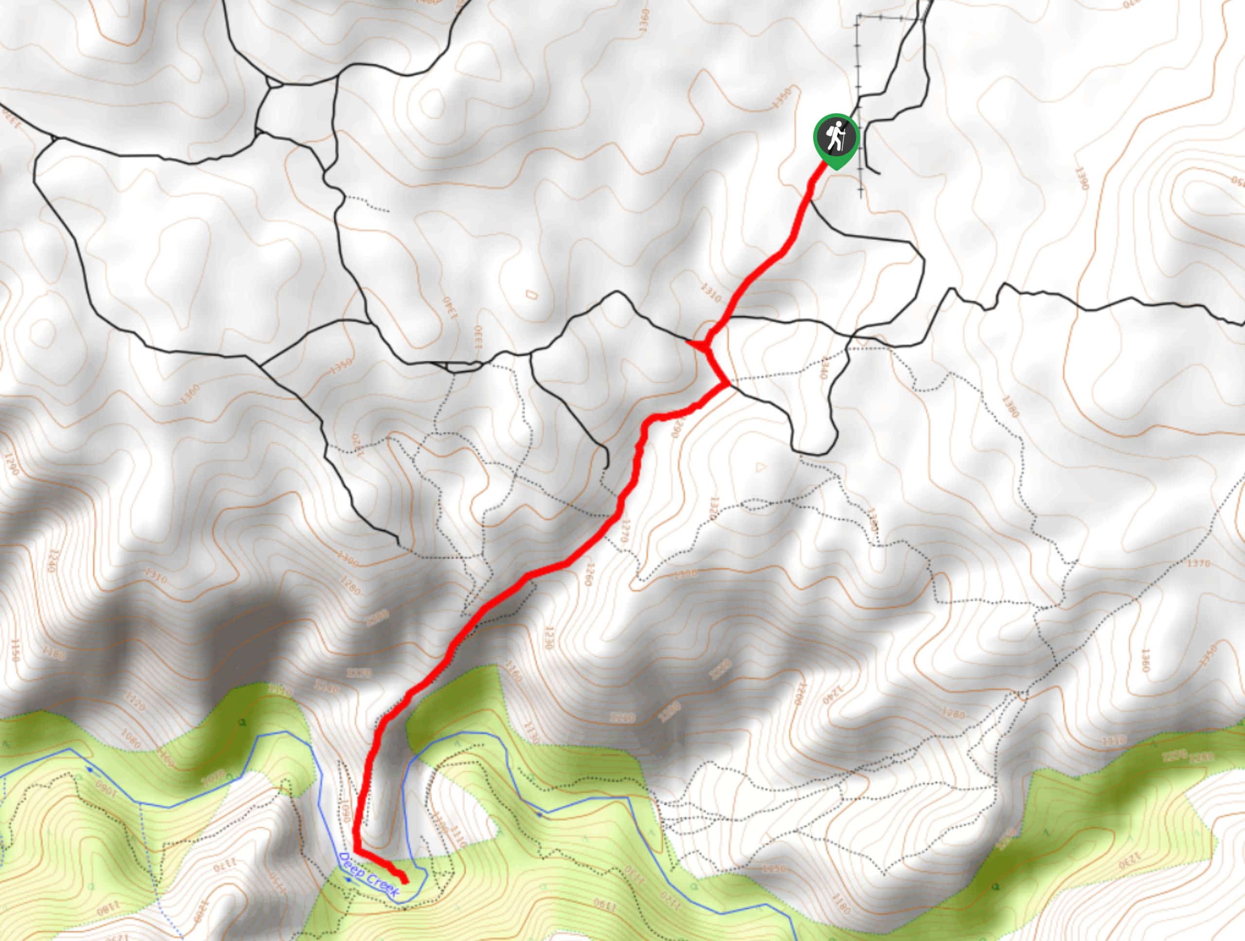
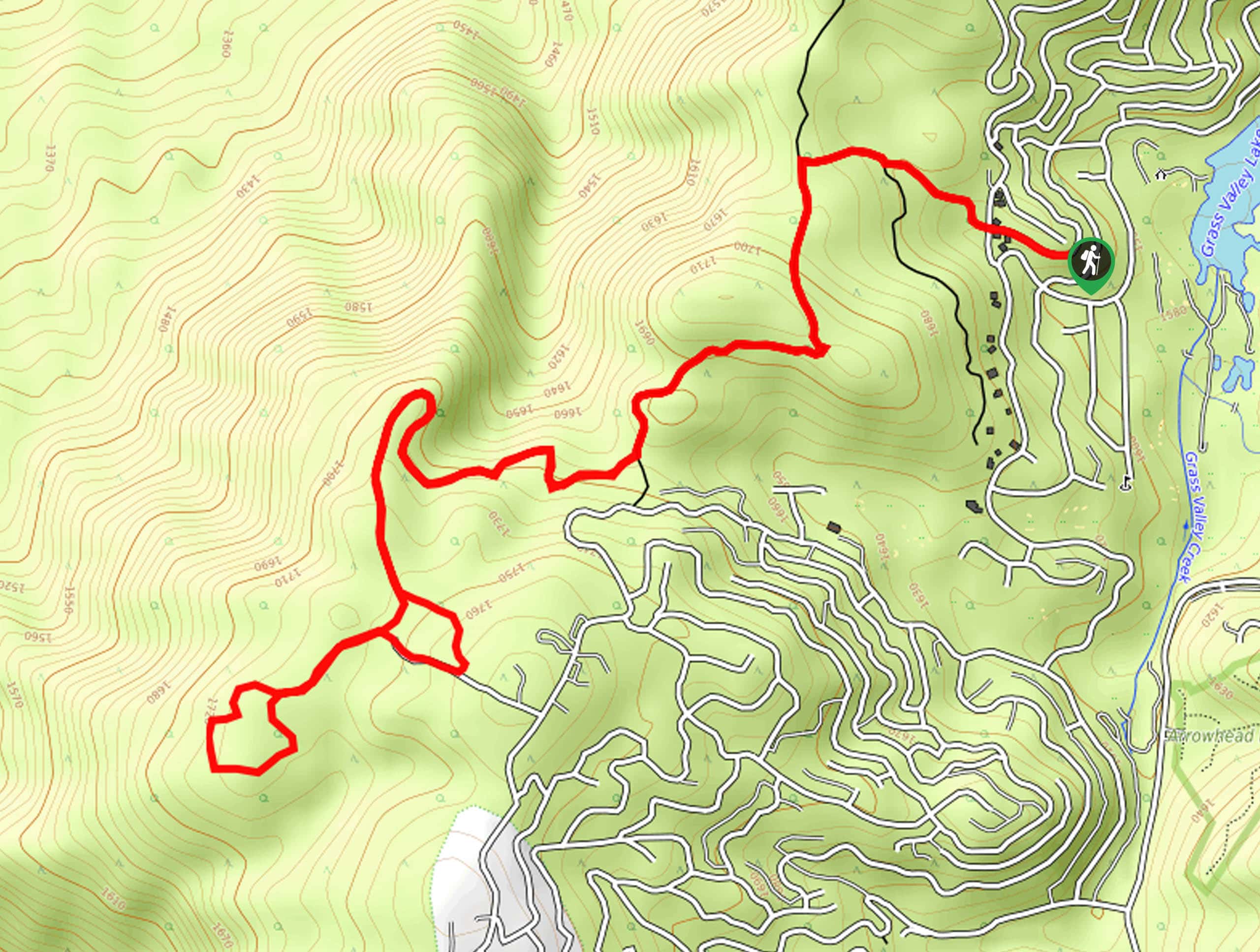
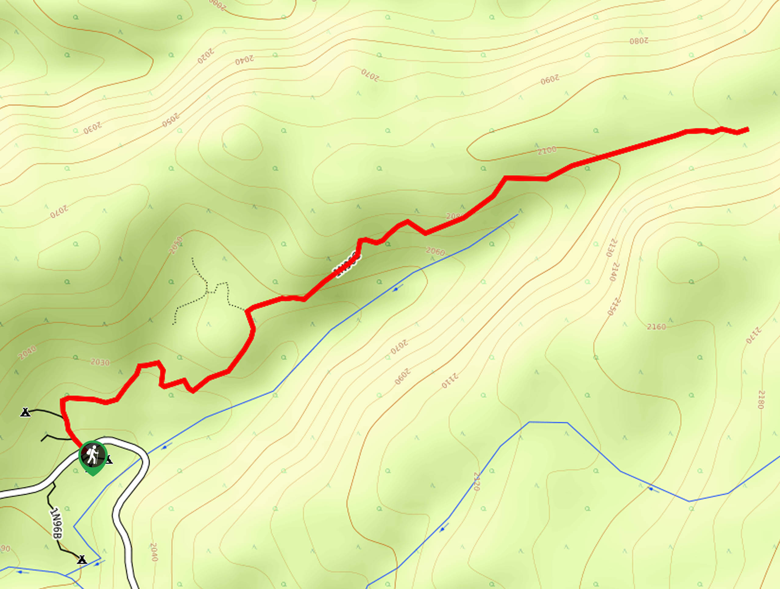
01. Deep Creek Hot Springs Trail
Difficulty
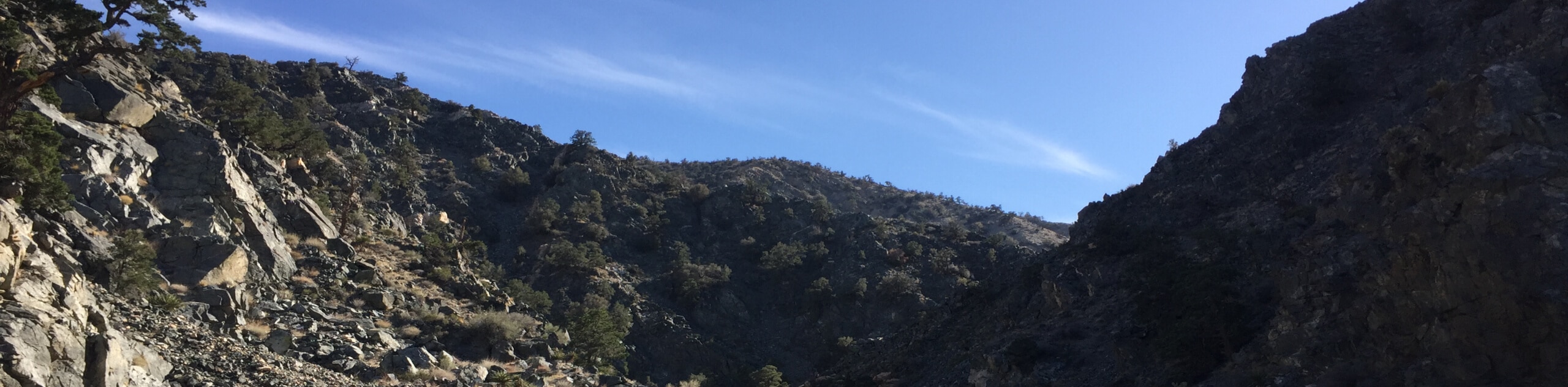
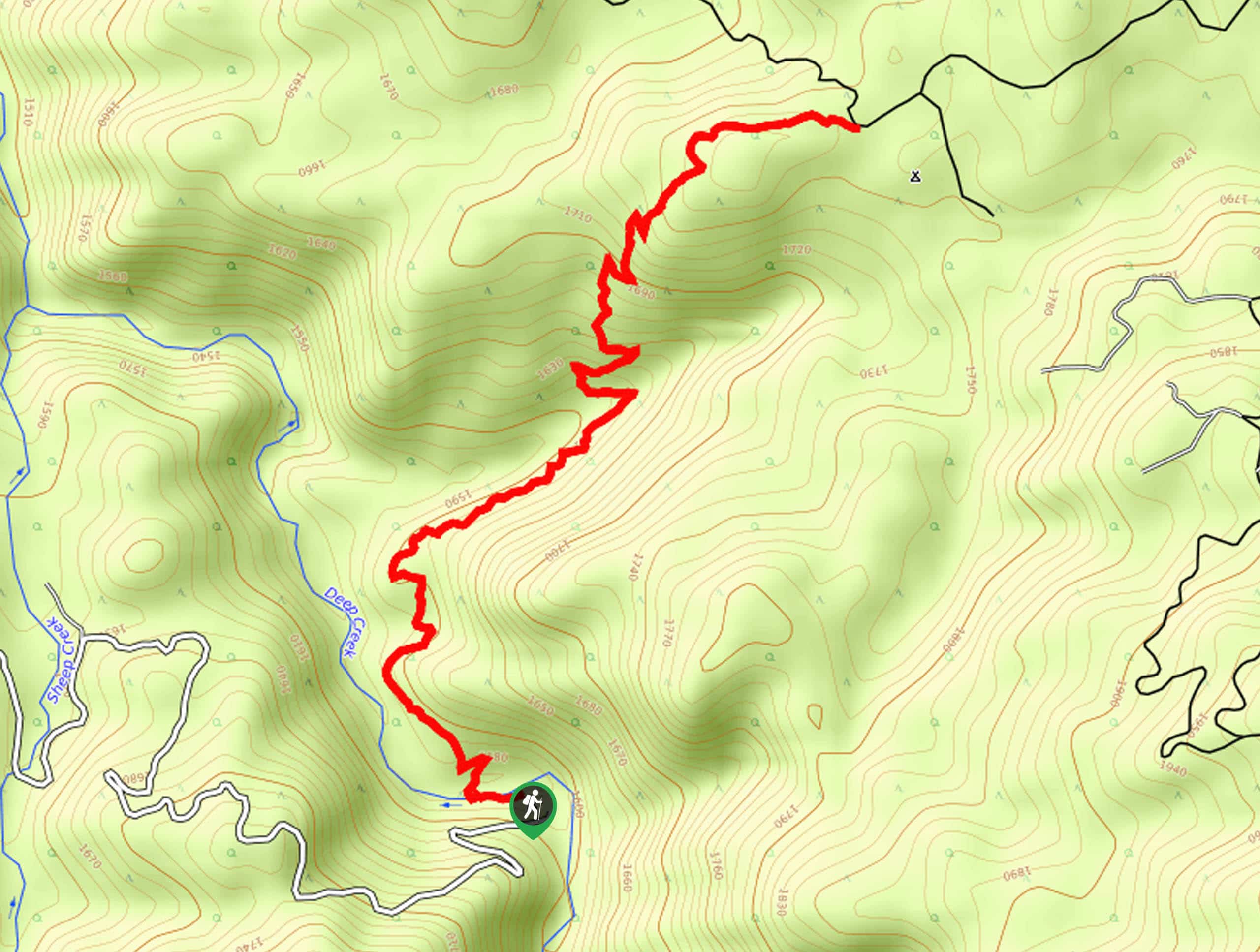
The Deep Creek Hot Springs Trail is a popular hiking route in the San Bernardino… Read More
02. The Living Desert Wilderness Loop Trail
Difficulty
The Living Desert Wilderness Loop Trail is a fun adventure in Palm Desert, California that… Read More
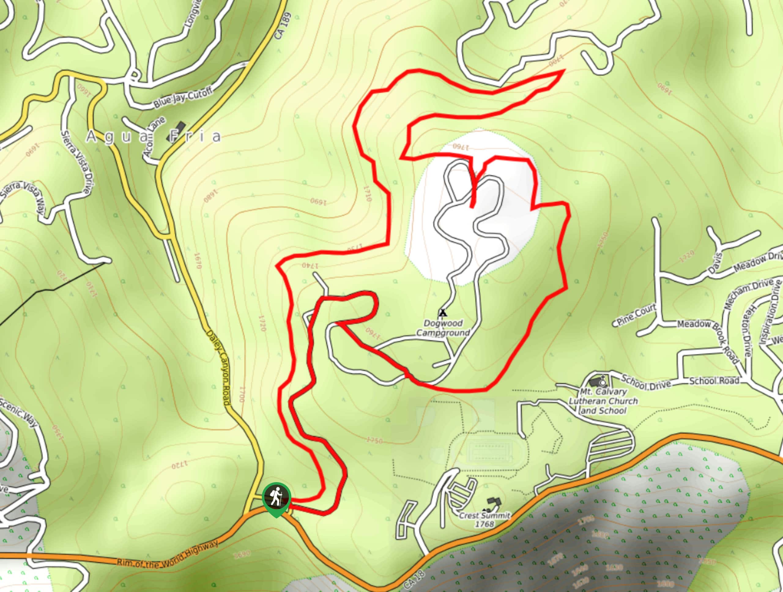
03. Dogwood Campground Loop Trail
Difficulty
The Dogwood Campground Loop Trail is a laidback hiking route in the San Bernardino National… Read More
04. Bonita Falls Trail
Difficulty
The Bonita Falls Trail is a short hiking route in the San Bernardino National Forest… Read More
05. Jenks Lake Trail
Difficulty
The Jenks Lake Trail is a laidback hiking experience in the San Bernardino National Forest… Read More
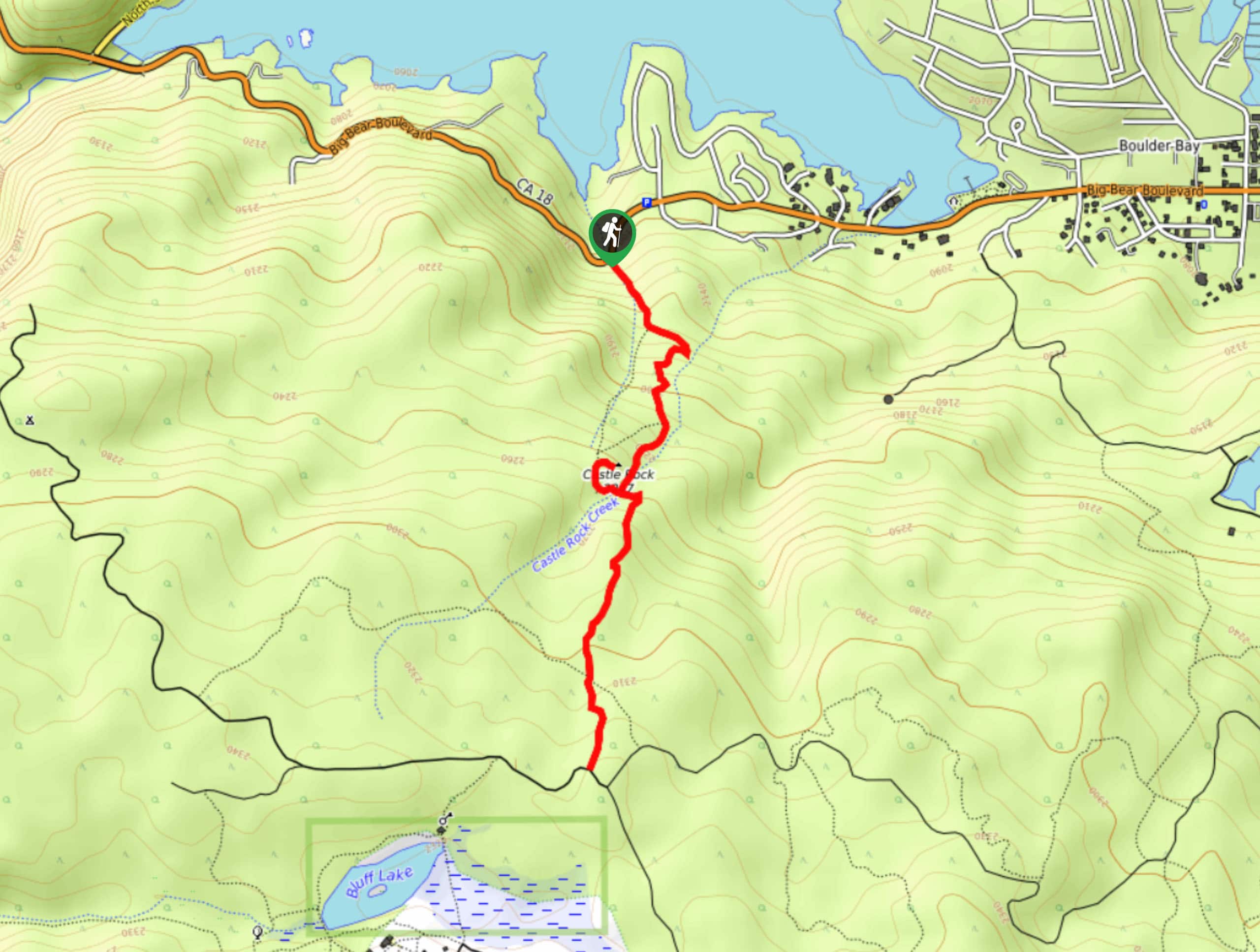
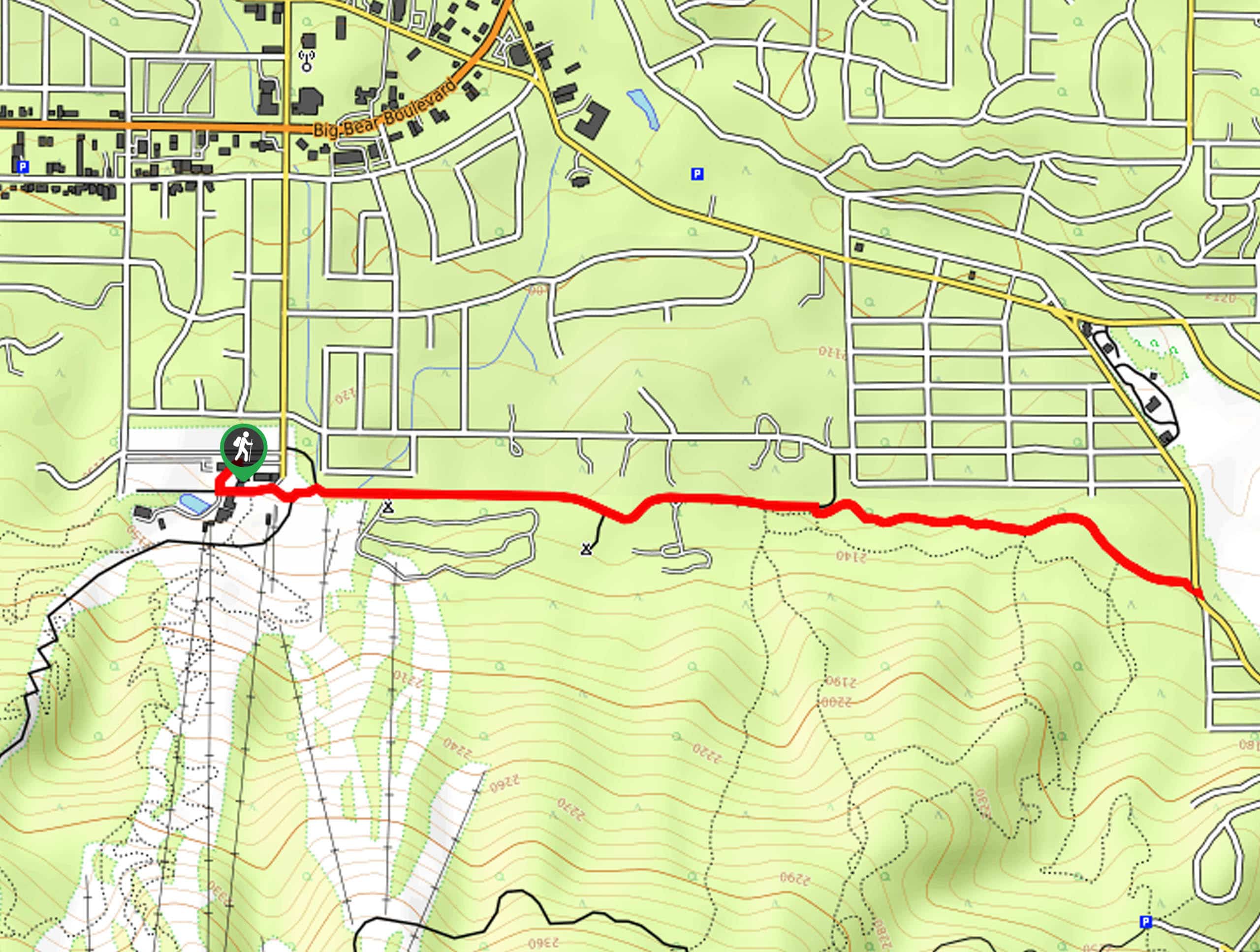
06. Castle Rock Trail
Difficulty
The Castle Rock Trail is one of the more popular hiking routes within San Bernardino… Read More
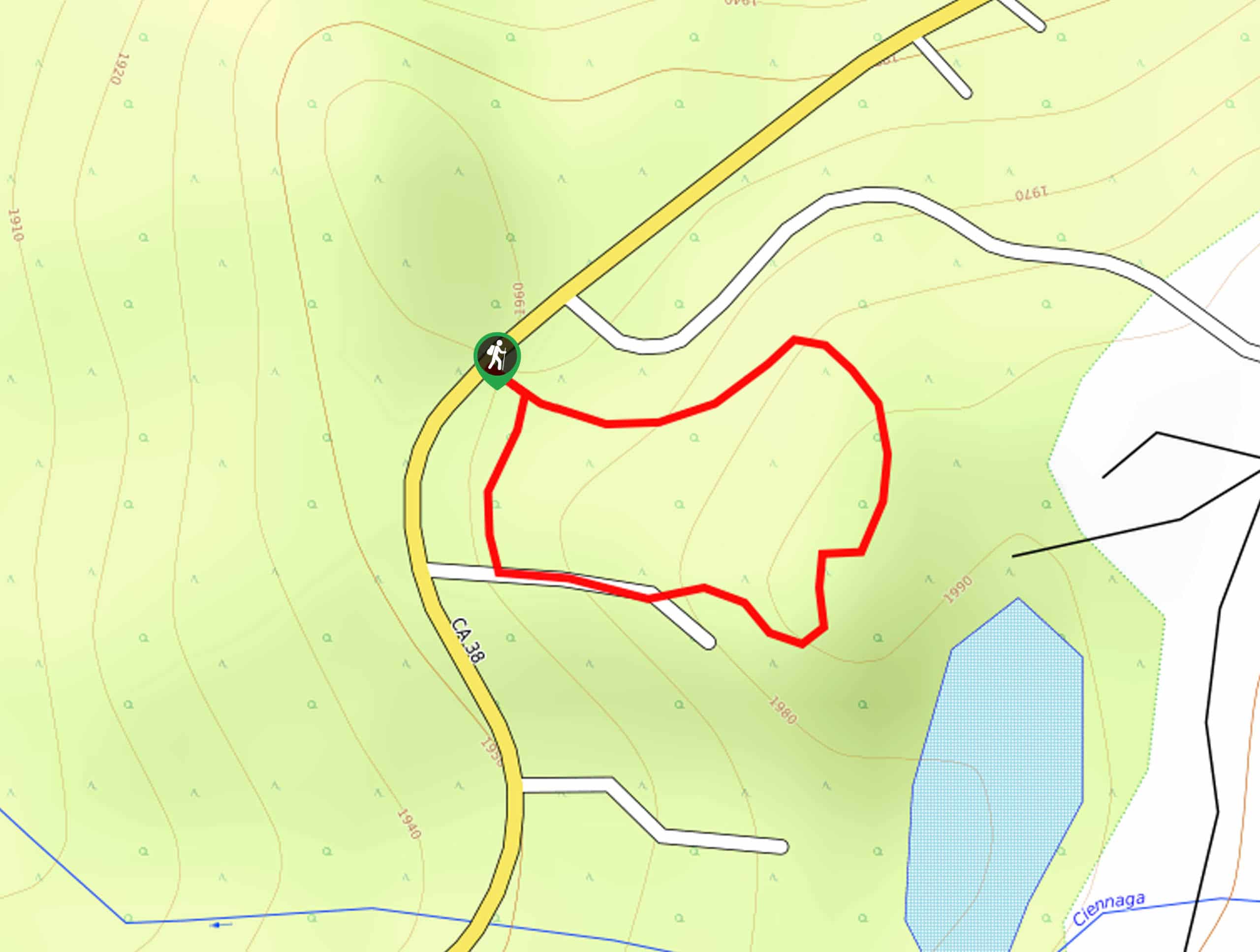
07. Hurkey Creek Trail
Difficulty
The Hurkey Creek Trail is a great family-friendly hiking route in the San Bernardino National… Read More
08. Heart Rock Trail
Difficulty
The Heart Rock Trail is a laidback adventure in the San Bernardino National Forest that… Read More
09. Bear Lake Woodland Trail
Difficulty
Hiking the Bear Lake Woodland Trail is a fun adventure in San Bernardino National Forest… Read More
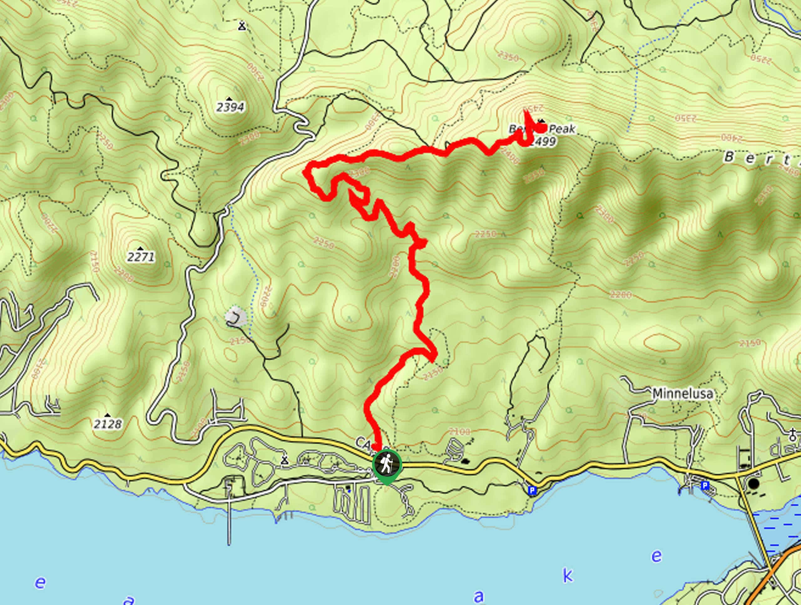
10. Bertha Peak Trail
Difficulty
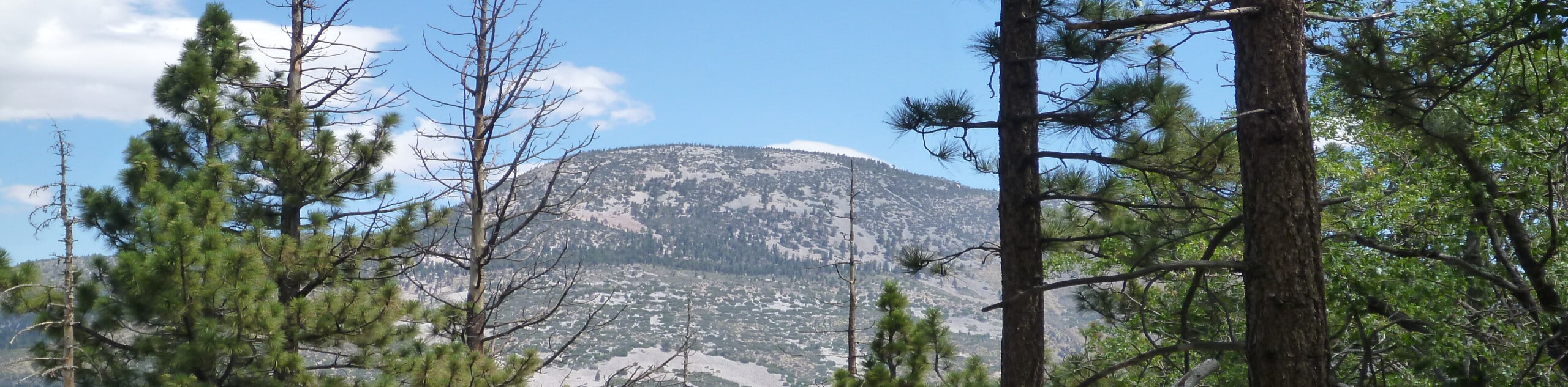
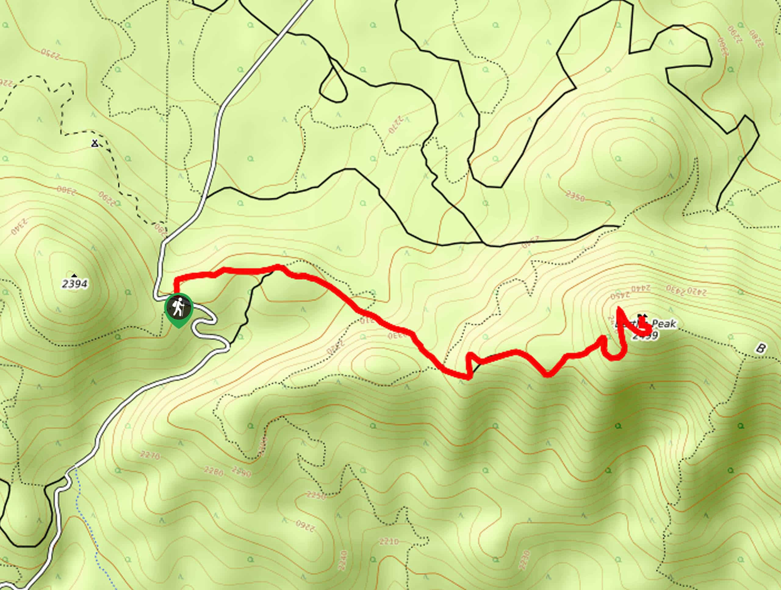
The Bertha Peak Trail is a wonderfully scenic hiking route in the San Bernardino National… Read More
Yes, there are more than 10
San Bernardino National Forest is so beautiful that we can not give you only 10 hikes. So here is a list of bonus hikes in San Bernardino National Forest that you should take a look at as well
11. Will Abell Memorial Trail
Difficulty
The Will Abell Memorial Trail is a fun, albeit confusing, outdoor experience in the San… Read More
12. Pine Knot Trail to Grand View Point Hike
Difficulty
The Pine Knot Trail to Grand View Point Hike is an exceptional adventure in the… Read More
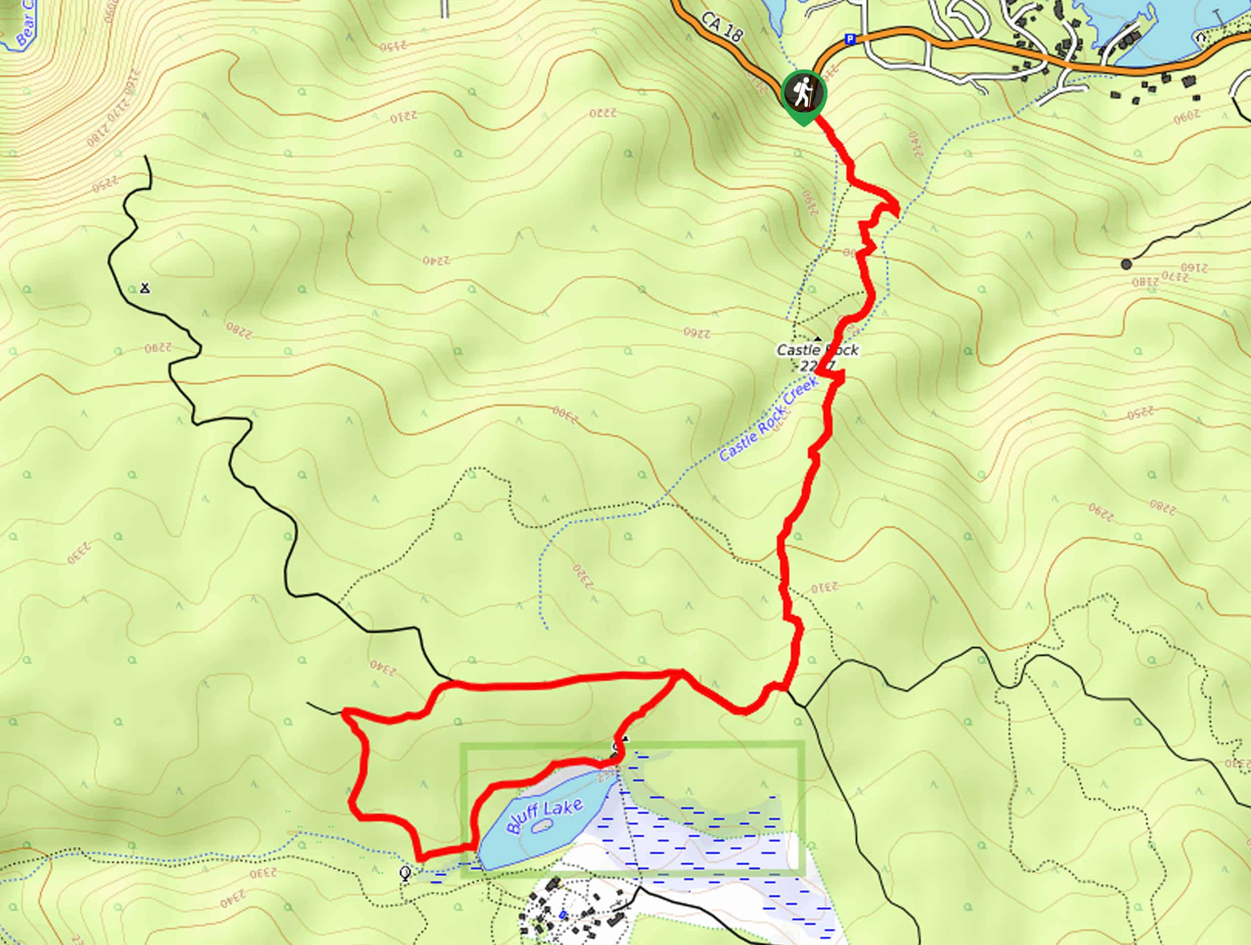
13. Champion Lodgepole Hike
Difficulty
The Champion Lodgepole Hike is a spectacular excursion in the San Bernardino Mountains of California… Read More
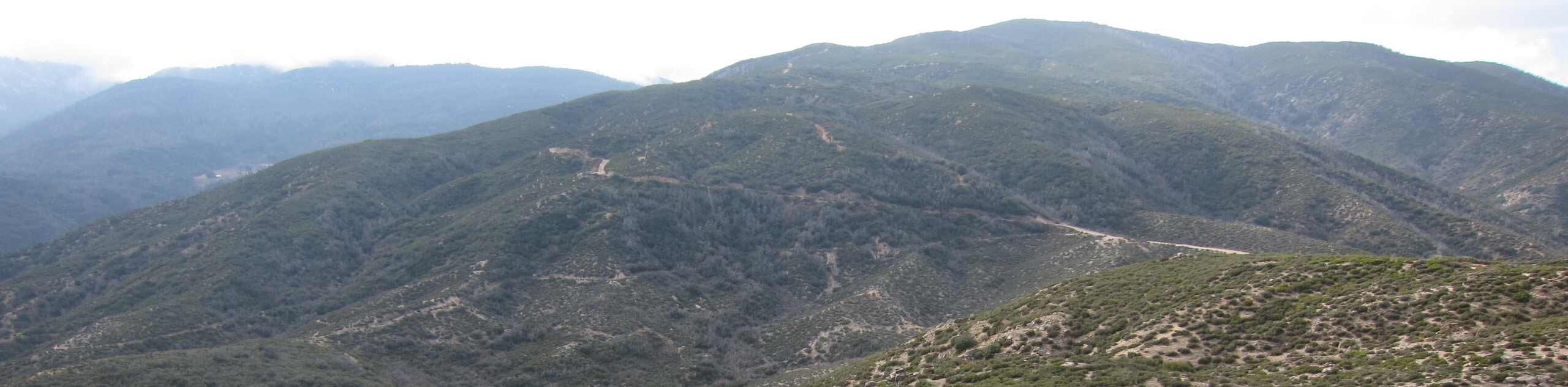
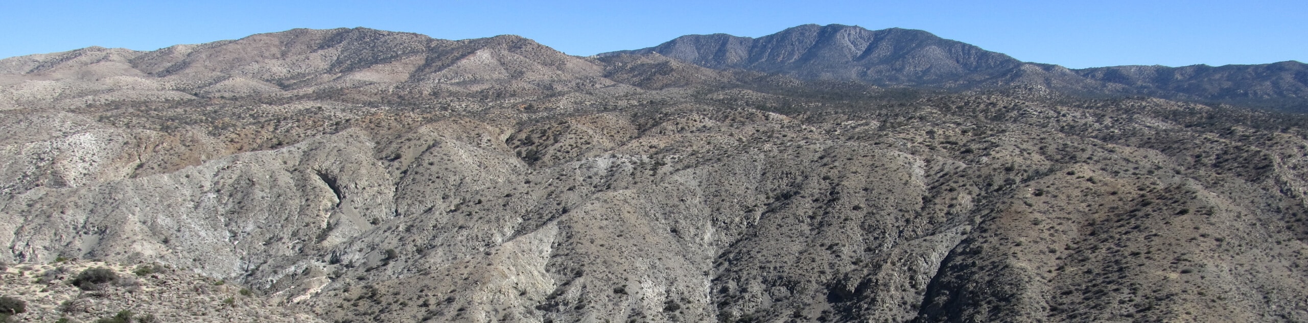
14. Black Mountain Trail
Difficulty
The Black Mountain Trail is a beautifully scenic, but physically demanding, hiking route in the… Read More
15. Holcomb Valley Campground Hike
Difficulty
The Holcomb Valley Campground Hike is a great family-friendly adventure in the San Bernardino National… Read More
16. Castle Rock Peak Hike
Difficulty
The Castle Rock Peak Hike is a short, but beautifully, scenic adventure in the San… Read More
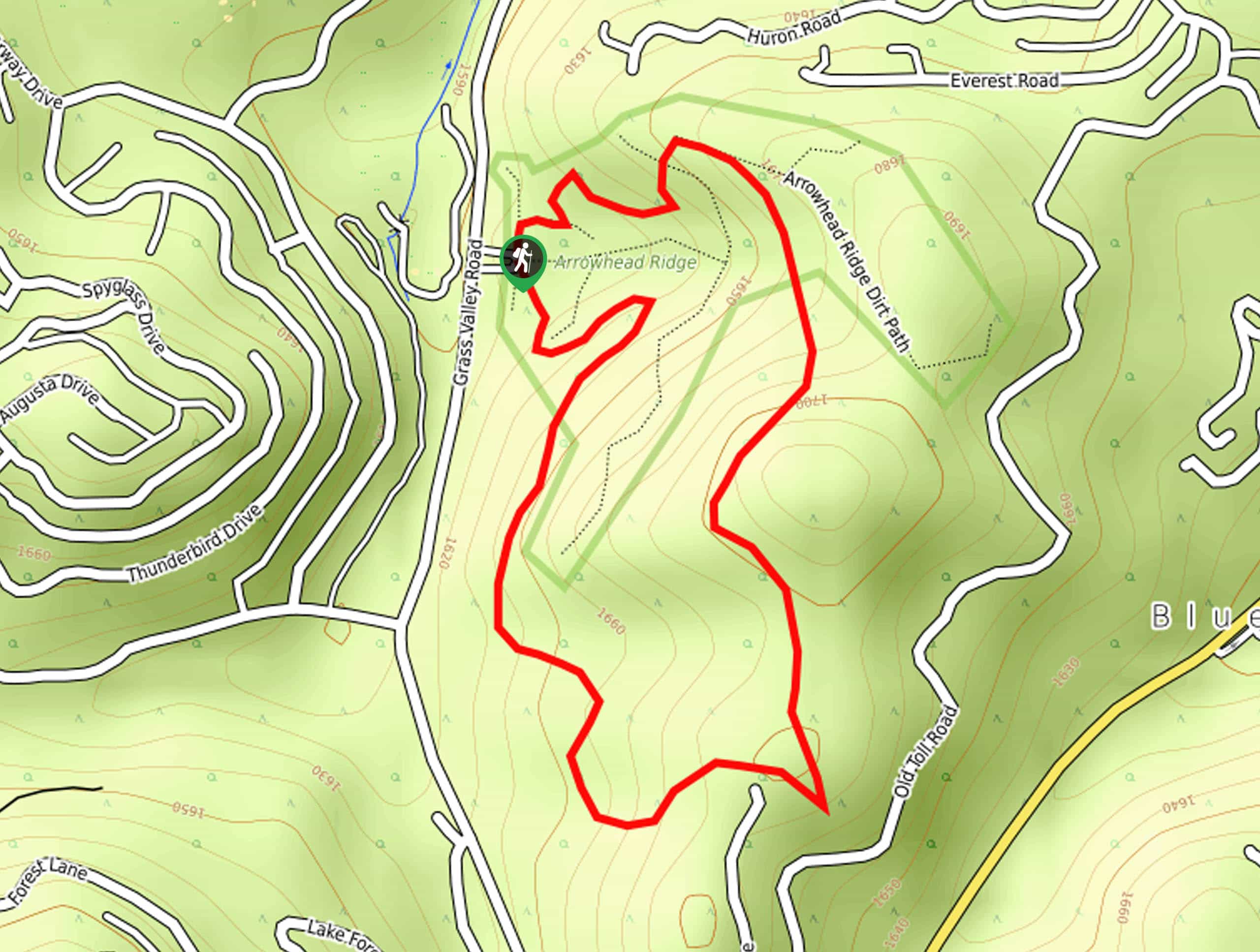
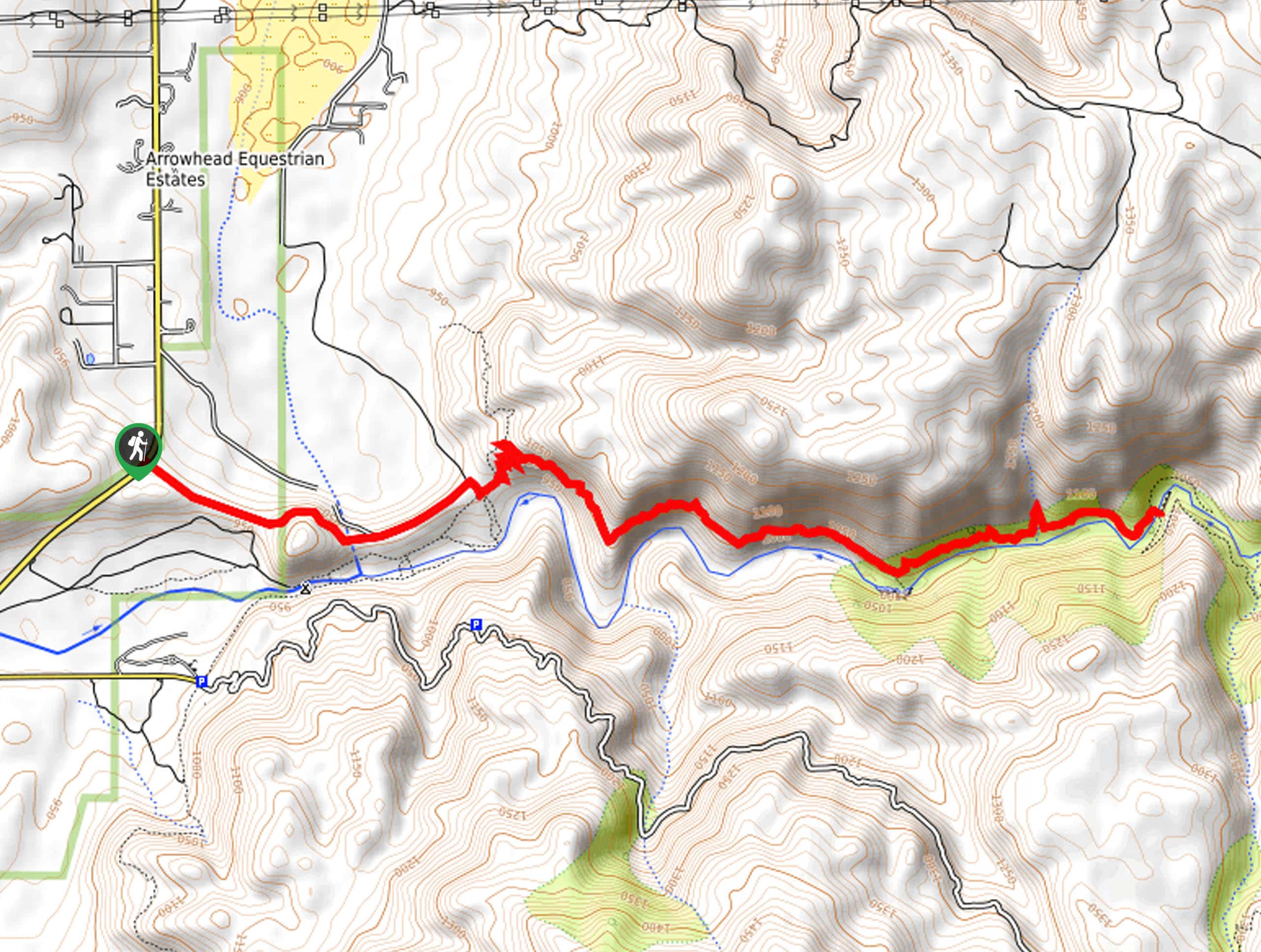
17. Arrowhead Pinnacles Trail
Difficulty
The Arrowhead Pinnacles Trail is a great adventure in the San Bernardino National Forest that… Read More
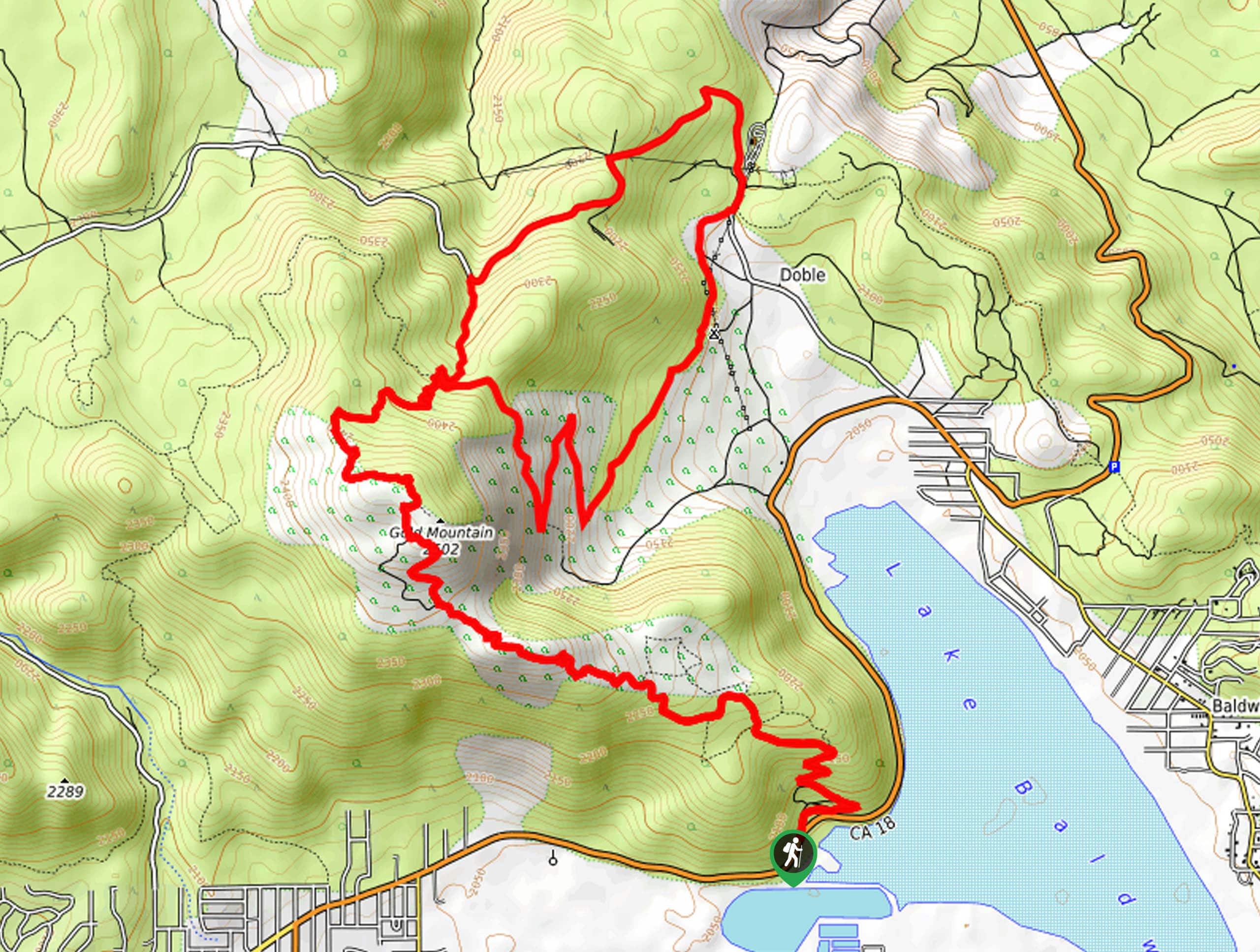
18. Gold Mountain Trail
Difficulty
The Gold Mountain Trail is a long and rugged hiking route in the San Bernardino… Read More
19. Devil’s Hole OHV Trail
Difficulty
The Devil’s Hole OHV Trail is a challenging adventure in San Bernardino National Forest that… Read More
20. Hanna Flat Campground Trail
Difficulty
The Hanna Flat Campground Trail is a fun hiking excursion in San Bernardino National Forest… Read More
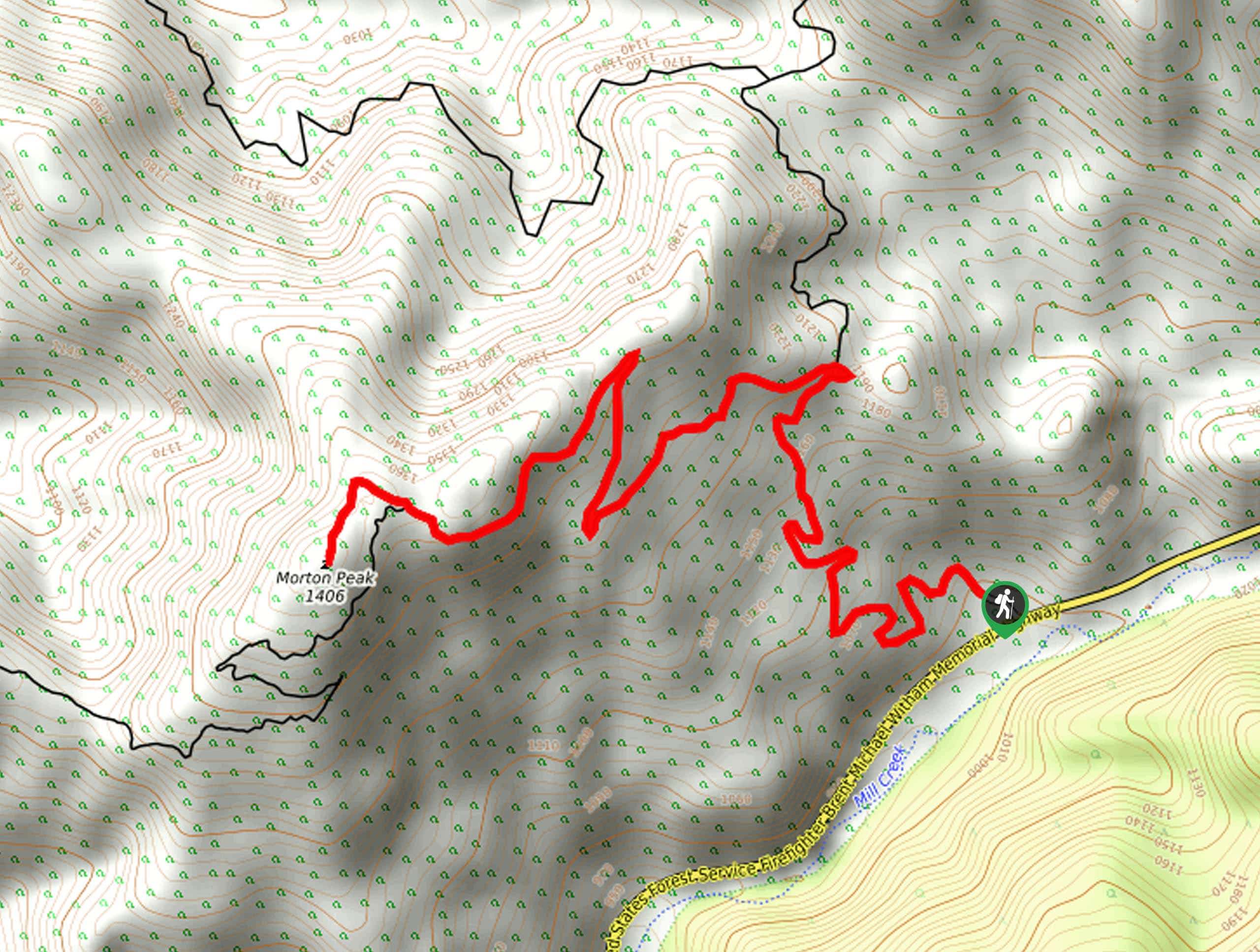
21. Morton Peak Hike
Difficulty
The Morton Peak Hike is a fun outdoor journey in the San Bernardino National Forest… Read More
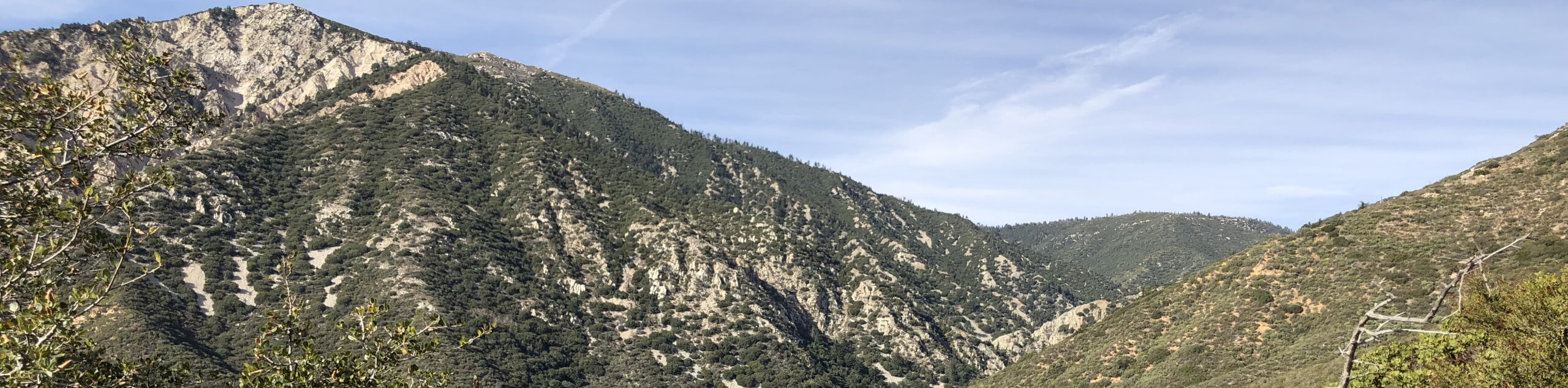
22. Mount San Jacinto Hike
Difficulty
The Mount San Jacinto Hike is an unforgettable, albeit challenging, adventure in the San Bernardino… Read More
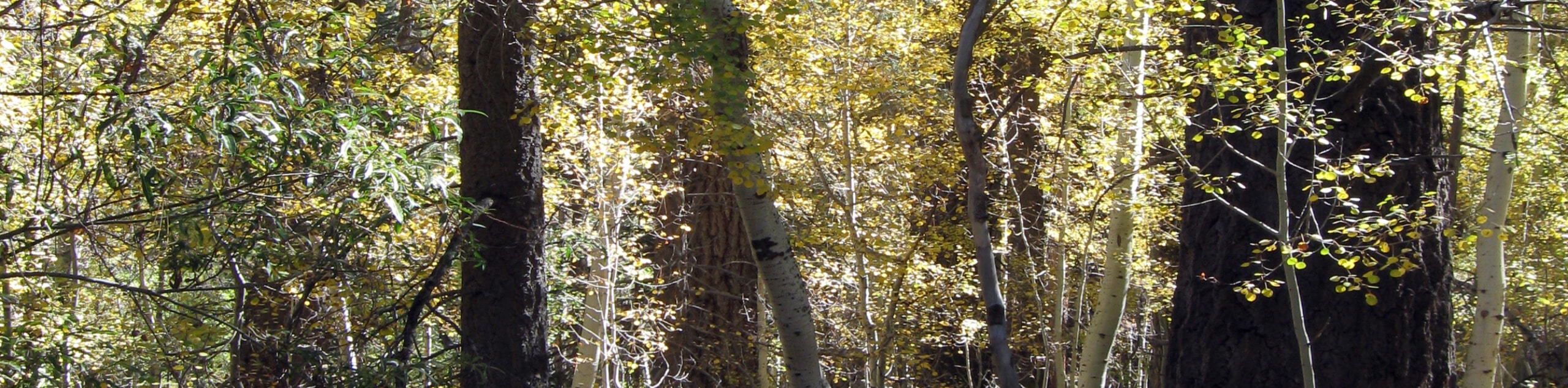
23. Aspen Grove Trail
Difficulty
The Aspen Grove Trail is a fantastic outdoor adventure in the San Gorgonio Wilderness area… Read More
24. Ernie Maxwell Trail
Difficulty
The Ernie Maxwell Trail is a spectacular nature hike in Southern California that features a… Read More
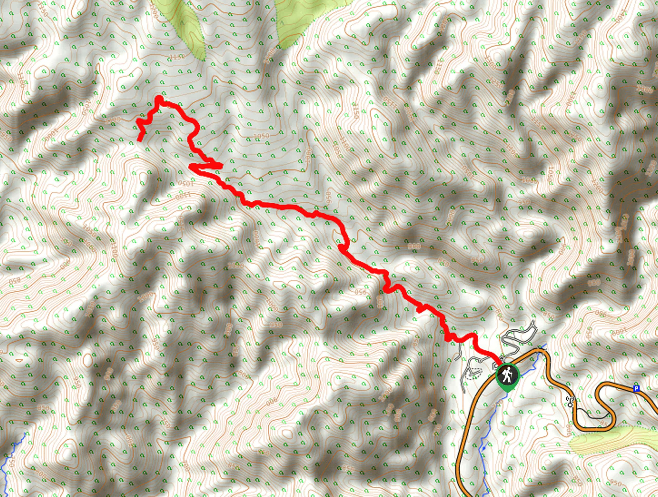
25. Castle Rock to Lookout Point Hike
Difficulty
The Castle Rock to Lookout Point Hike is an amazing adventure in the San Bernardino… Read More
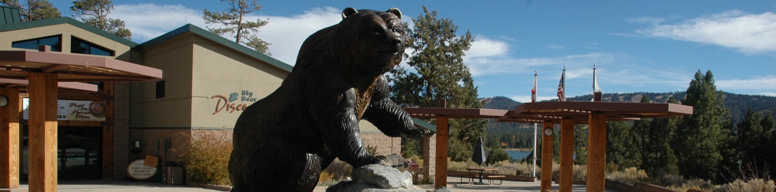
26. Big Bear Discovery Center Nature Trail
Difficulty
The Big Bear Discovery Center Nature Trail is a fantastic family-friendly adventure in the San… Read More
27. Poppet Flat Divide Truck Trail
Difficulty
The poppet Flat Divide Truck Trail is a quick and easy adventure in San Bernardino… Read More
28. Cougar Crest Trail
Difficulty
The Cougar Crest Trail is a fantastic moderate length hiking route in San Bernardino National… Read More
29. Mormon Rocks Interpretive Trail
Difficulty
The Mormon Rocks Interpretive Trail is a short hiking route in the San Bernardino National… Read More
30. Skyline to Snow Summit Trail
Difficulty
The Skyline to Snow Summit Trail is a wonderful hiking route in the San Bernardino… Read More
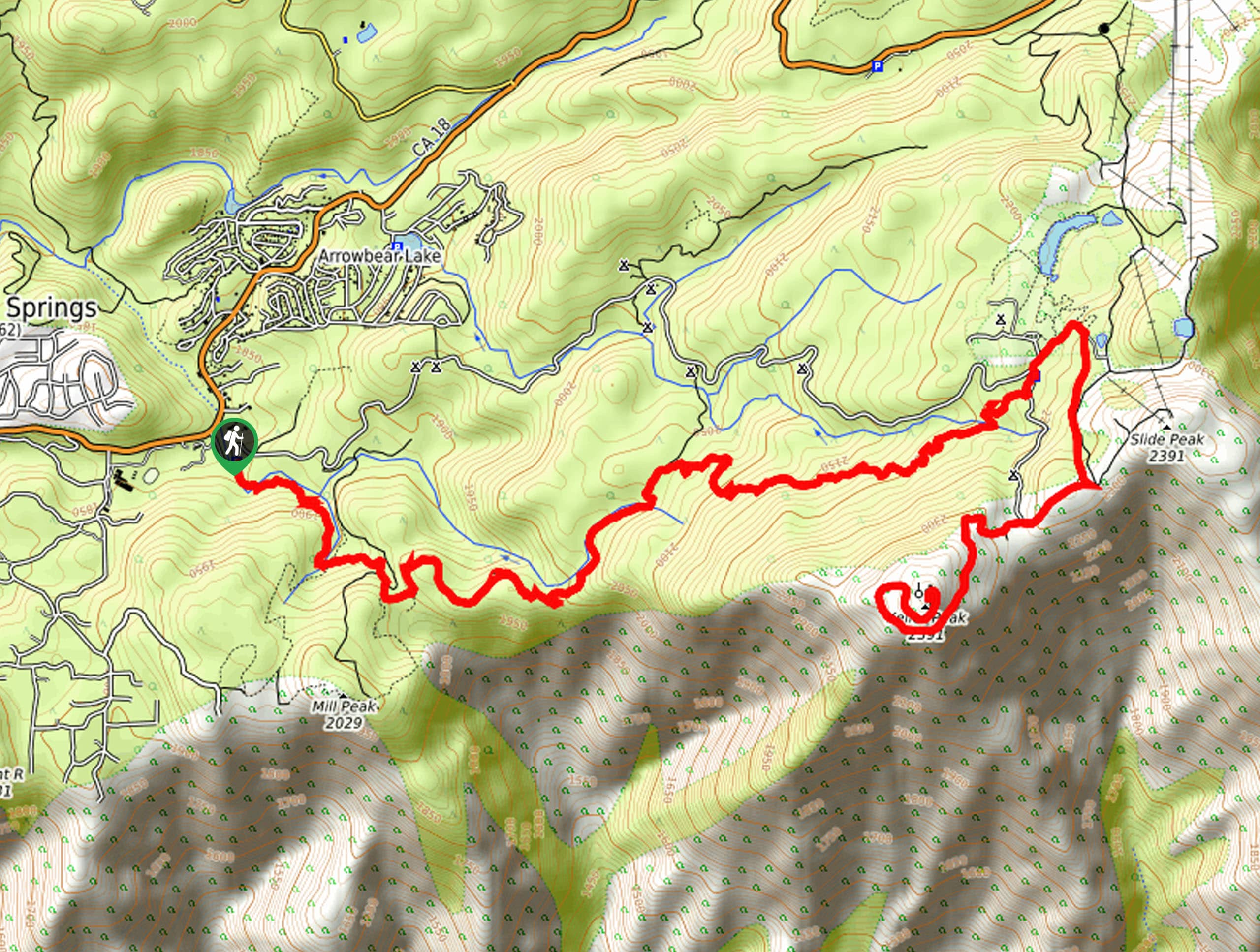
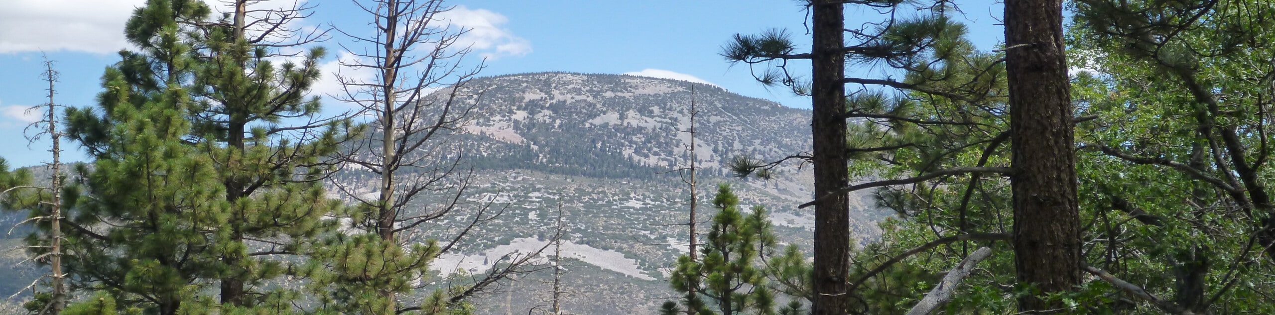
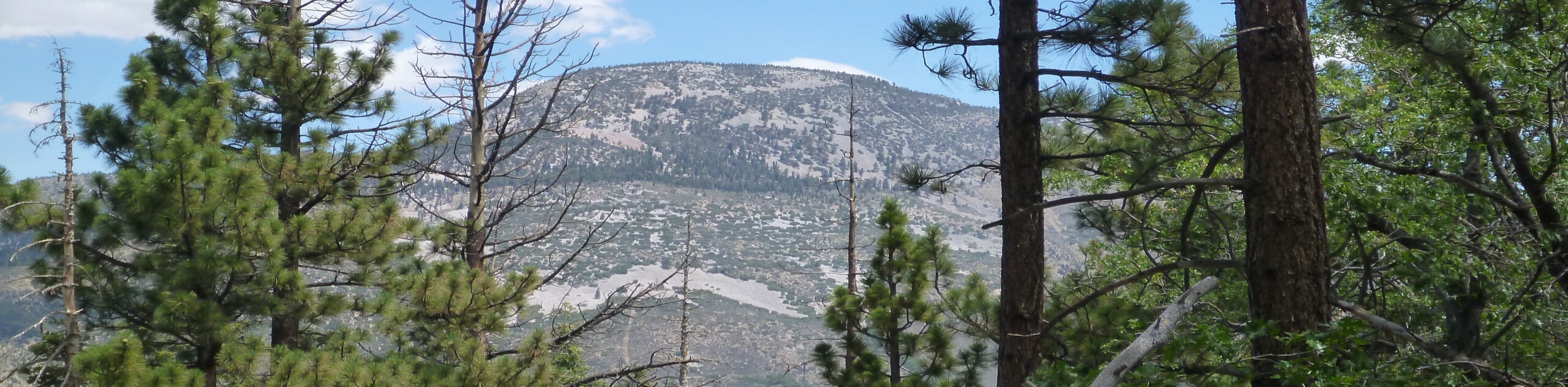
31. Keller Peak Hike
Difficulty
The Keller Peak Hike is a spectacular long distance adventure in the San Bernardino National… Read More
32. Sugarloaf Mountain Trail
Difficulty
The Sugarloaf Mountain Trail is a challenging hiking route in San Bernardino National Forest that… Read More
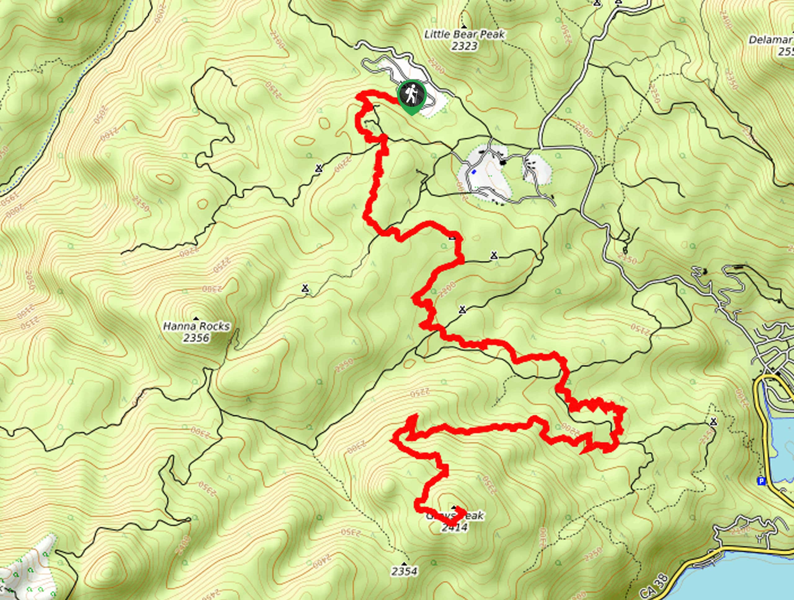
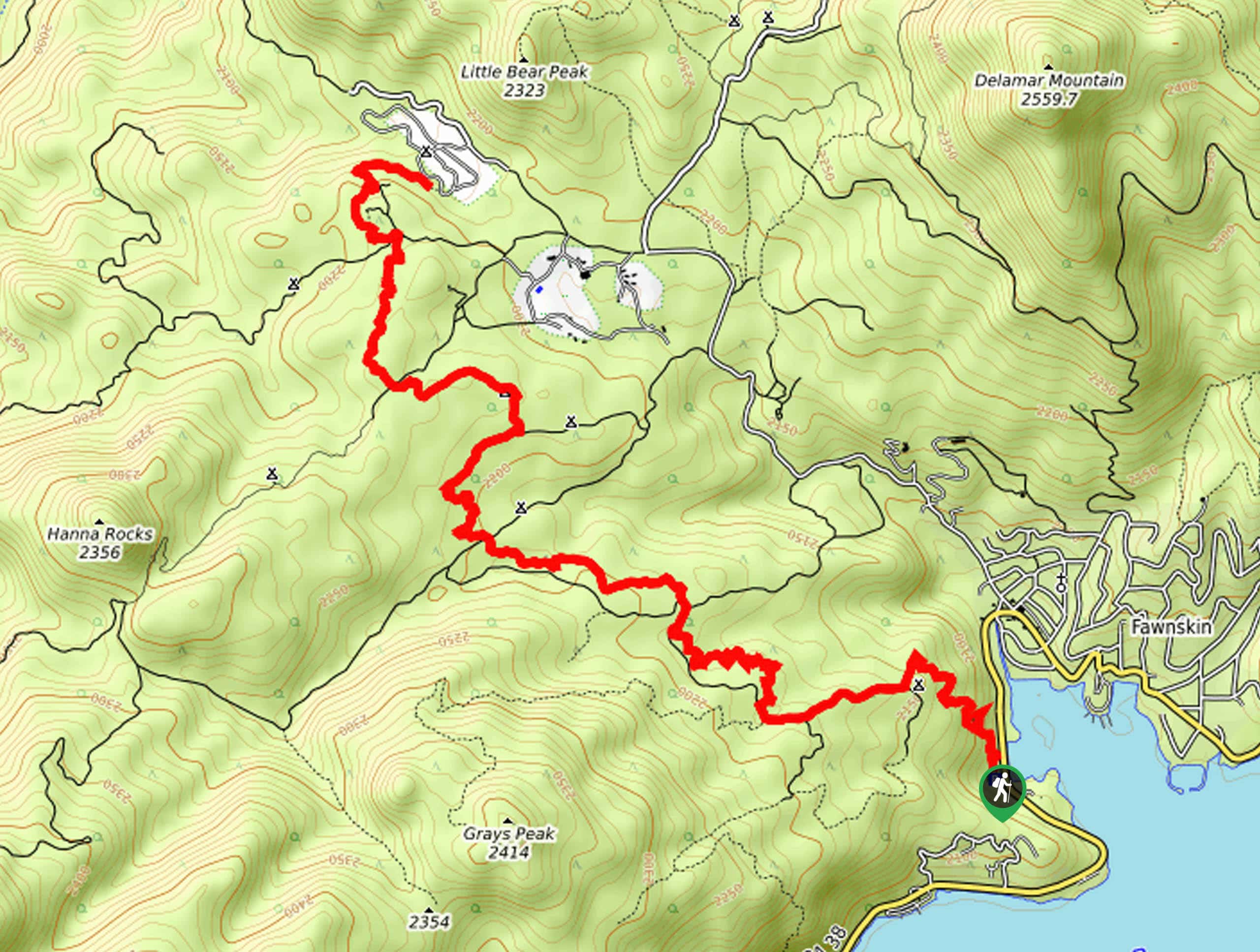
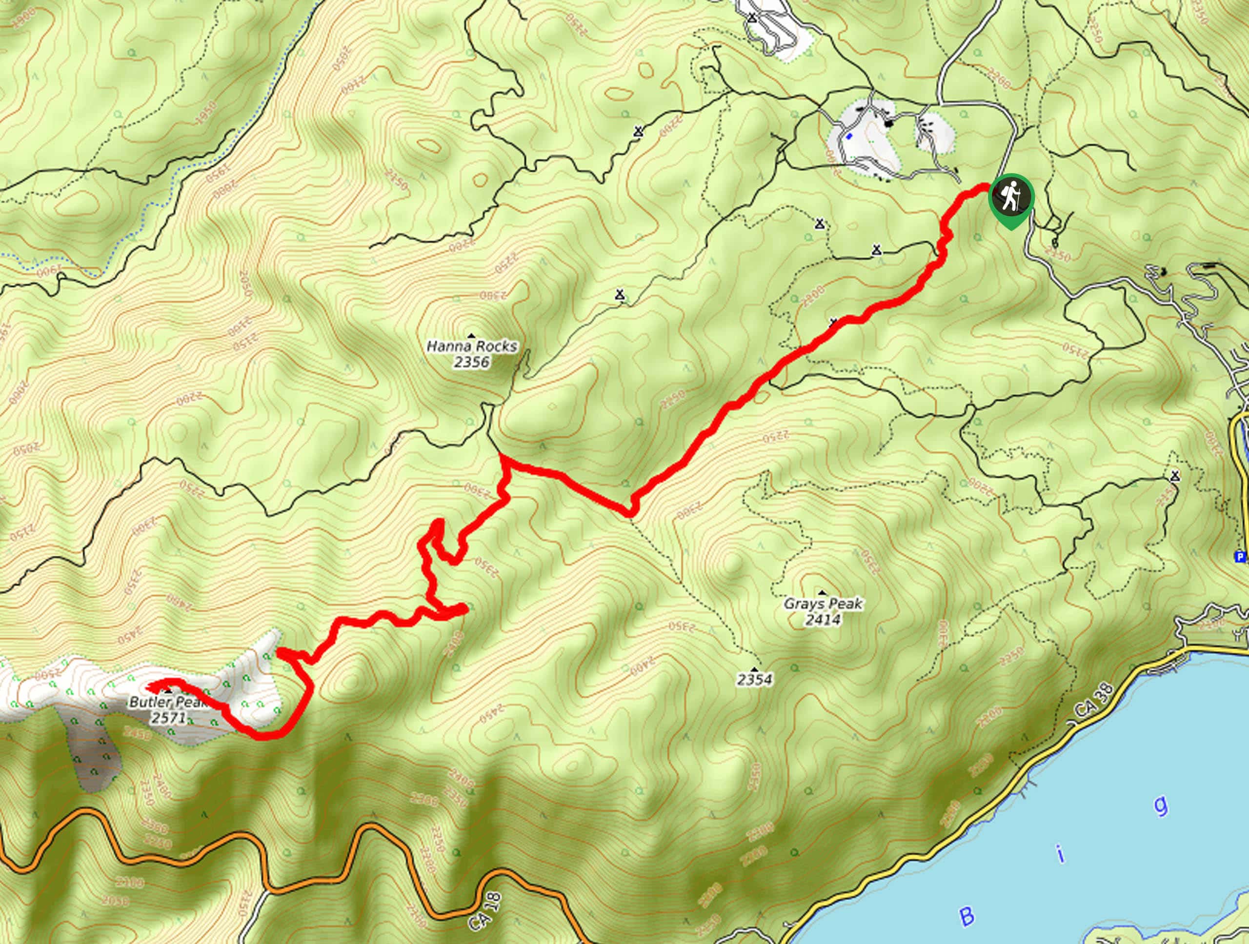
33. Hanna Flat to Grays Peak Hike
Difficulty
The Hanna Flat to Grays Peak Hike is a great route west of Fawnskin in… Read More
34. Little Bear Peak Hike
Difficulty
The Little Bear Peak Hike is a great family-friendly adventure in San Bernardino National Forest… Read More
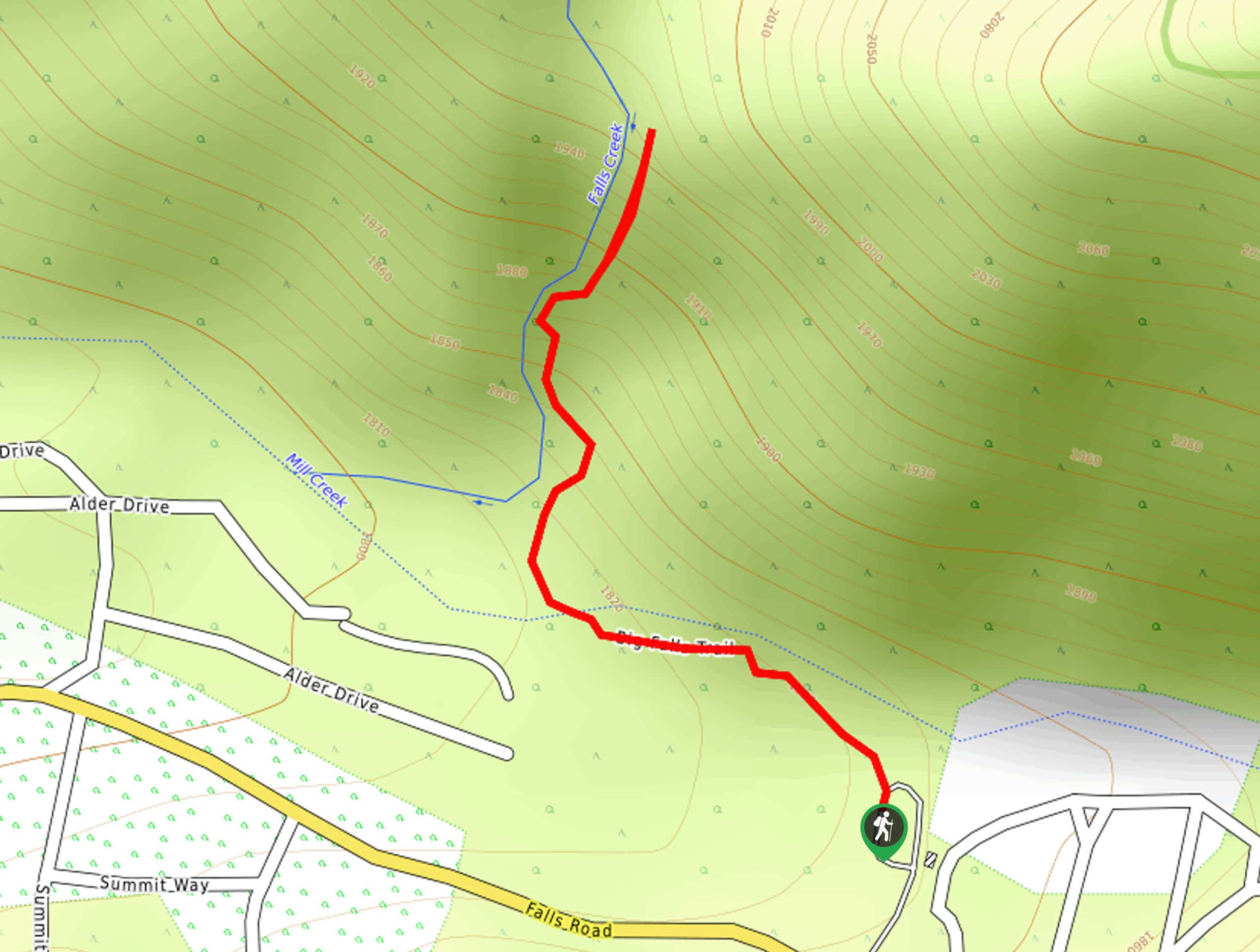
35. Big Falls Trail
Difficulty
The Big Falls Trail is a short and beautifully scenic hiking route in the San… Read More
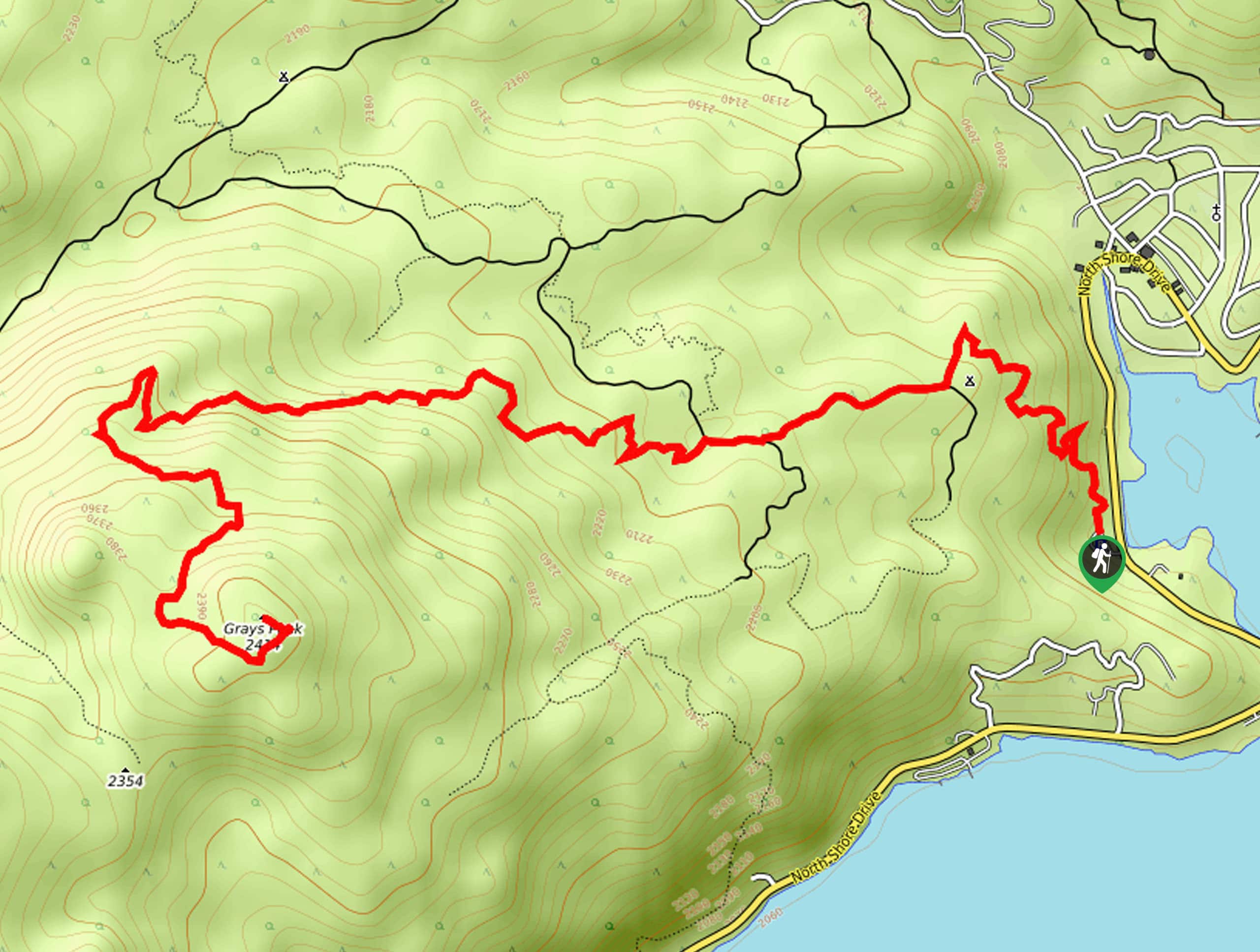
36. Grays Peak Trail
Difficulty
The Grays Peak Trail is an amazing intermediate length hiking route in San Bernardino National… Read More
37. Bradford Ridge Path to Deep Creek Hot Springs
Difficulty
The Bradford Ridge Path to Deep Creek Hot Springs is an amazing adventure in the… Read More
38. Whispering Pines Nature Trail
Difficulty
The Whispering Pines Nature Trail is a spectacular family-friendly adventure in the San Bernardino National… Read More
39. Cleghorn Mountain Trail
Difficulty
The Cleghorn Mountain Trail is a rugged adventure in the San Bernardino National Forest that… Read More
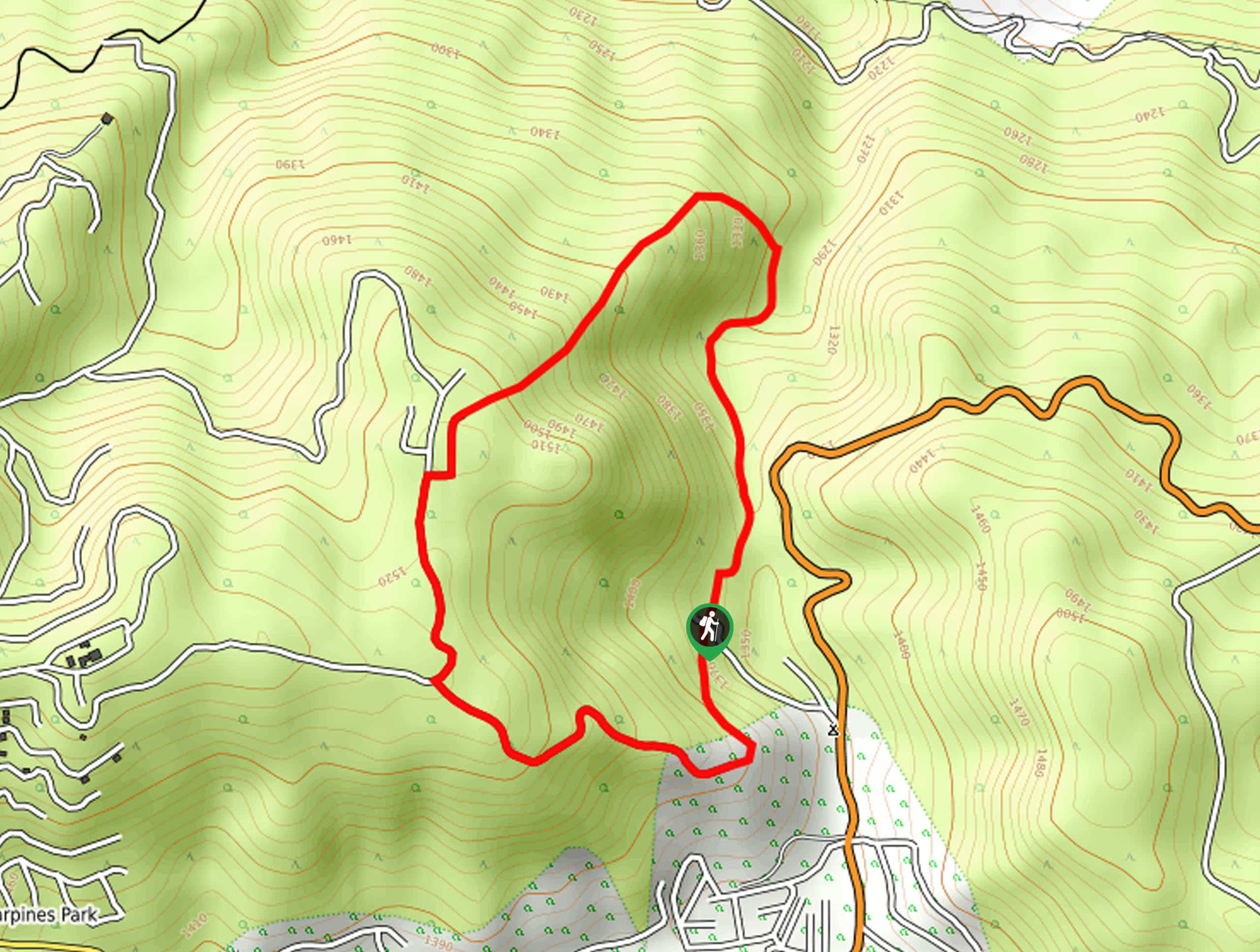
40. Camp Seely to Cedarpines Park Loop Trail
Difficulty
The Camp Seely to Cedarpines Park Loop Trail is a short adventure in San Bernardino… Read More
41. Bear Creek from Glory Ridge Road Hike
Difficulty
The Bear Creek from Glory Ridge Road is a short, but challenging, adventure in San… Read More
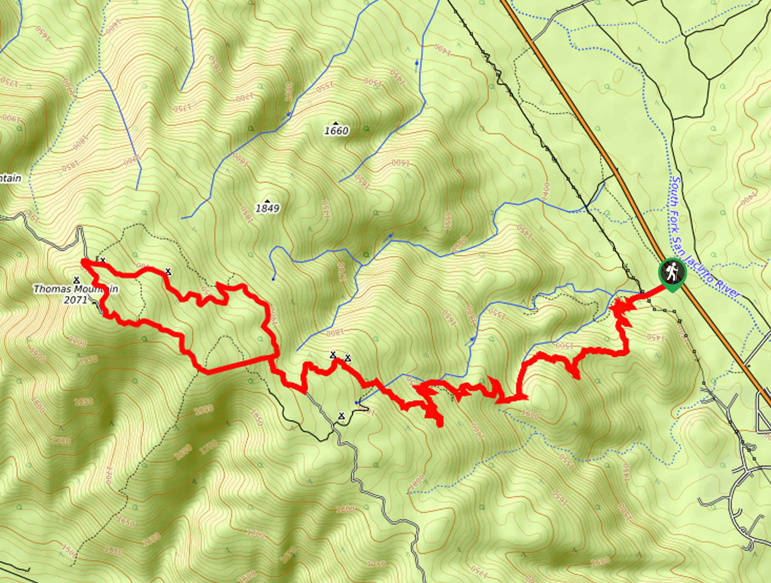
42. San Jacinto River South Fork Hike
Difficulty
The San Jacinto River South Fork Hike is a fantastic outdoor adventure in the San… Read More
43. Cedar Springs Trail
Difficulty
The Cedar Springs Trail is a fun hike in the San Bernardino National Forest that… Read More
44. Miller Canyon Trail
Difficulty
The Miller Canyon Trail is a straightforward hiking route in San Bernardino National Forest that… Read More
45. Mount Thomas via Ramona Trail
Difficulty
The Mount Thomas via Ramona Trail is an excellent hiking adventure in the San Bernardino… Read More
46. Bristlecone Road Hike
Difficulty
The Bristlecone Road Hike is a quick little adventure in Big Bear Lake that will… Read More
47. Forest Service Road N22 Hike
Difficulty
The Forest Service Road N22 Hike is a fun route near San Bernardino, California that… Read More
48. Siberia Creek Trail
Difficulty
The Siberia Creek Trail is an exceptional long-distance hike in the San Bernardino National Forest… Read More
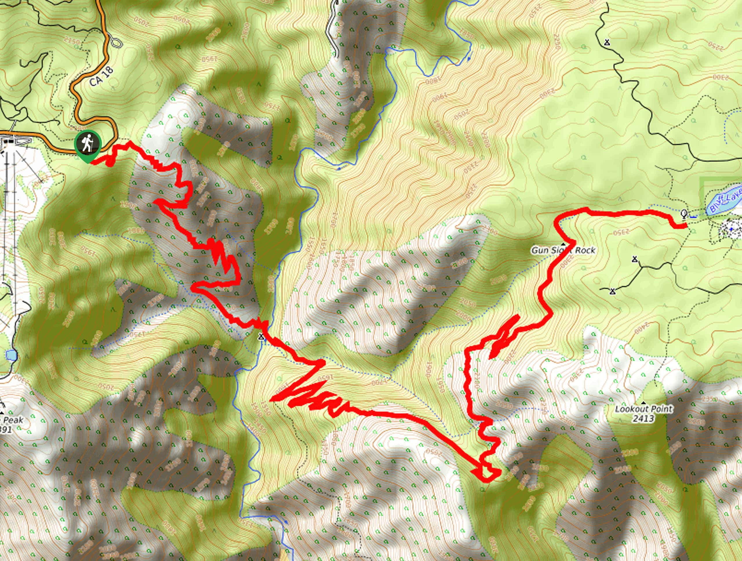
49. Black Mountain Lookout Hike
Difficulty
The Black Mountain Lookout Hike is a quick and easy adventure in the San Bernardino… Read More
50. Butler Peak Trail
Difficulty
The Butler Peak Trail is a fantastic hiking route in the San Bernardino National Forest… Read More
51. Cahuilla Mountain Trail
Difficulty
The Cahuilla Mountain Trail is a slightly overgrown, yet easy to navigate hiking route in… Read More
52. Seven Oaks Trail
Difficulty
The Seven Oaks Trail is an unrelenting journey through the mountainous terrain of the San… Read More
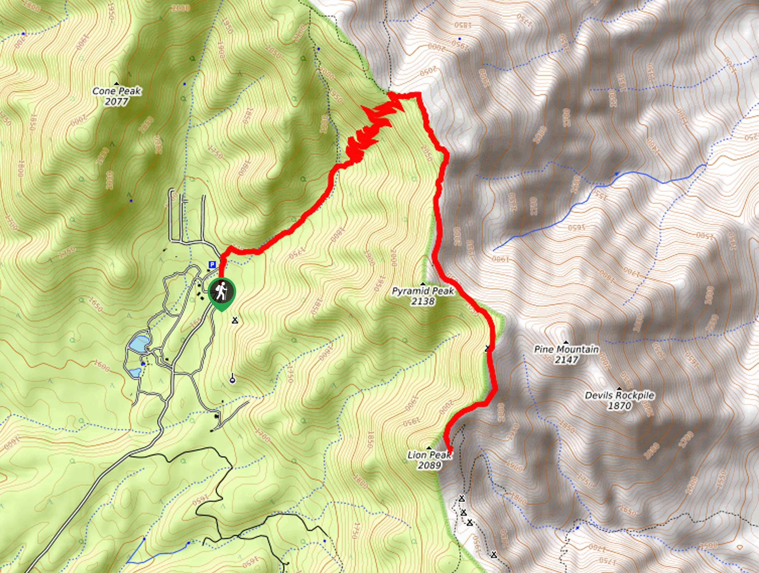
53. Lion Peak Trail
Difficulty
The Lion Peak Trail is a fantastic adventure in the San Bernardino National Forest that… Read More
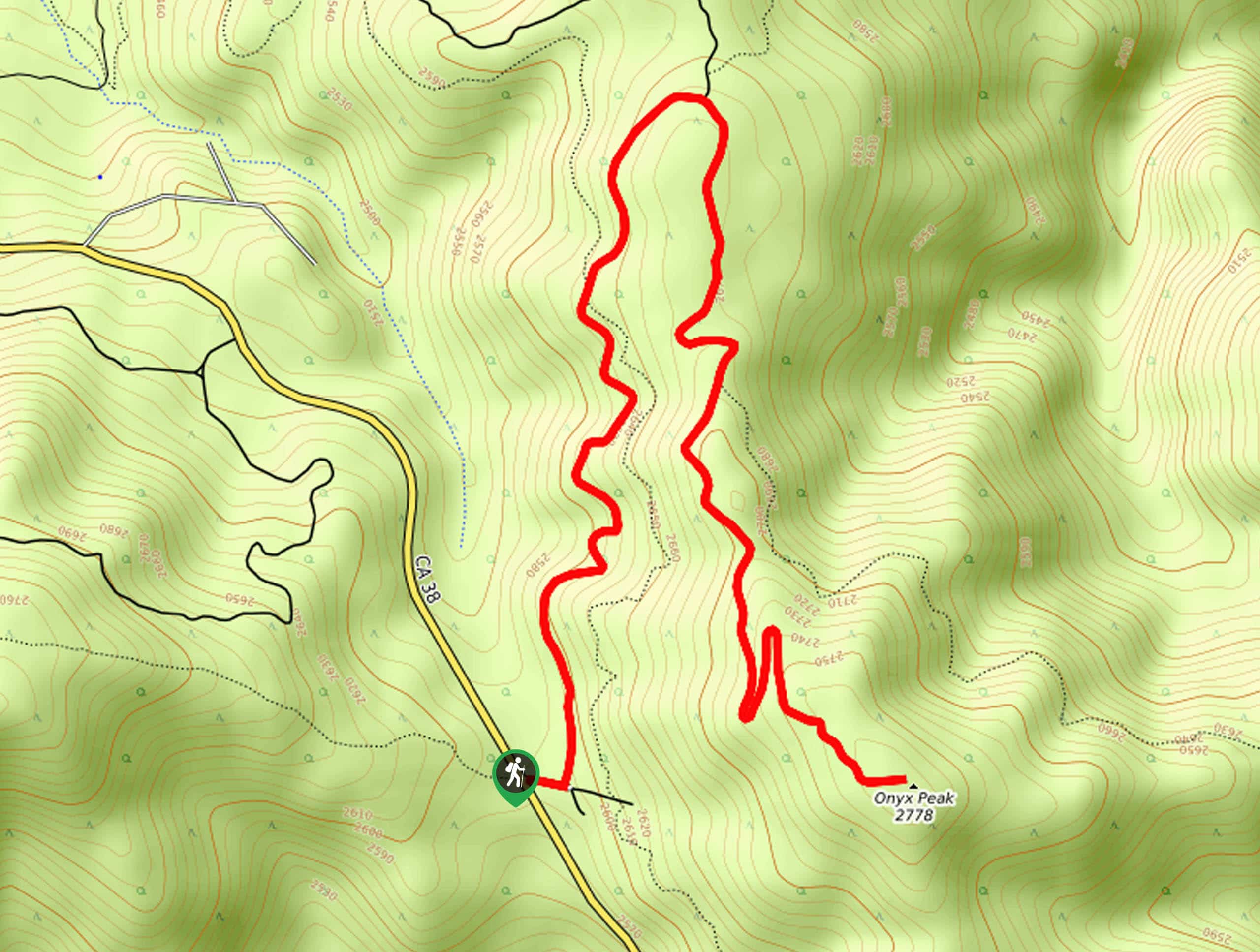
54. Onyx Peak Hike
Difficulty
The Onyx Peak Hike is a pleasant adventure in the San Bernardino Mountains that features… Read More
55. Pipes Canyon and Olsen Ruins Hike
Difficulty
The Pipes Canyon and Olsen Ruins Hike is an exceptional trail in the San Bernardino… Read More
56. Ramona Trail
Difficulty
The Ramona Trail is a fantastic hiking route in the San Bernardino National Forest that… Read More
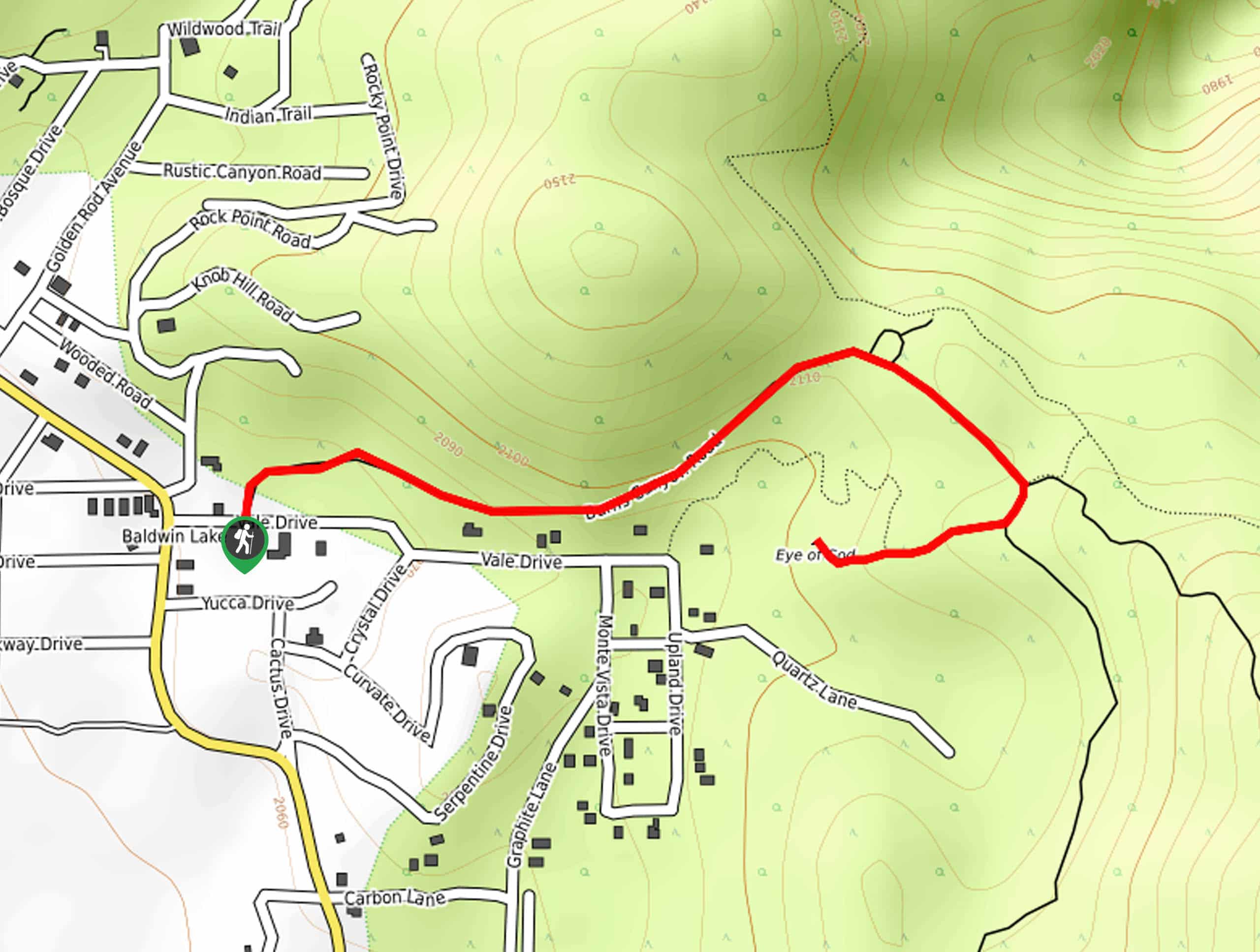
57. Eye of God Trail
Difficulty
The Eye of God Trail is a great little hiking route near Big Bear Lake,… Read More
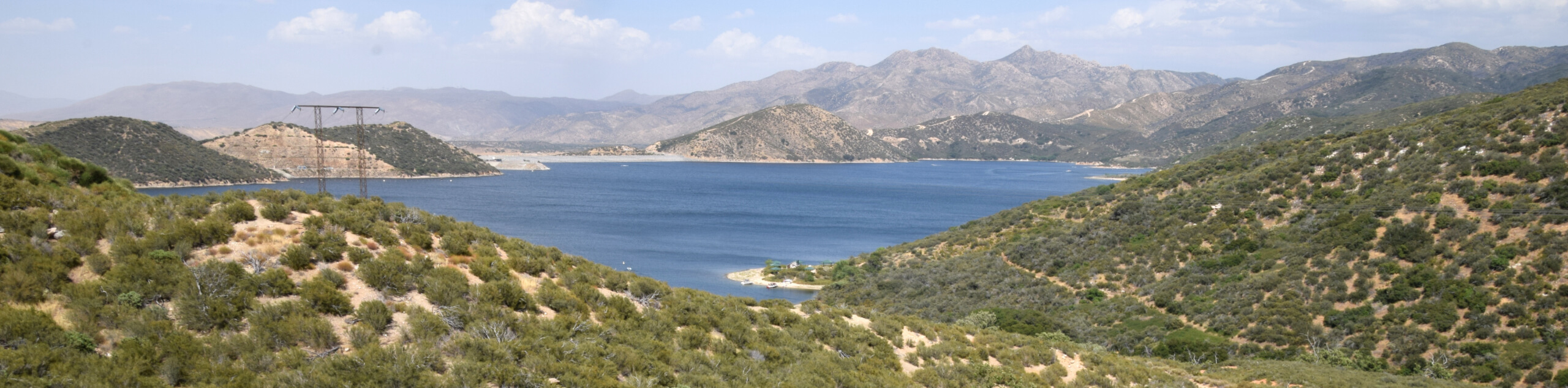
58. Mojave Forks River Dam Overlook Trail
Difficulty
The Mojave Forks River Dam Overlook Trail is a fun little adventure within the boundary… Read More
59. 2W07 Trail from Fisherman’s Group Campground
Difficulty
Hiking the 2W07 Trail from Fisherman’s Group Campground is a fun adventure in the San… Read More
60. Sugarloaf to Sand Canyon Loop Trail
Difficulty
The Sugarloaf to Sand Canyon Loop Trail is a great family-friendly adventure in the San… Read More
61. Bertha Peak via Polique Canyon Road Hike
Difficulty
The Bertha Peak via Polique Canyon Road Hike is an easy-going adventure in the San… Read More
62. 2N13 Trail: Green Valley Campground to Fawnskin
Difficulty
The 2N13 Trail: Green Valley Campground to Fawnskin is a fun adventure through the San… Read More
63. Sugarlump Bear Peak Trail
Difficulty
The Sugarlump Bear Peak Trail is an easy-going adventure in the San Bernardino National Forest… Read More
64. Camp Creek National Recreation Trail
Difficulty
The Camp Creek National Recreation Trail is a rough and rugged adventure in the San… Read More
65. Metate Trail
Difficulty
The Metate Trail is a quick and easy hiking route in the San Bernardino National… Read More
66. Little Green Valley Trail
Difficulty
The Little Green Valley Trail is a fun hiking route near San Bernardino that will… Read More
67. San Bernardino Town Trail
Difficulty
The San Bernardino Town Trail is a quick and easy adventure in Big Bear Lake,… Read More
68. Crystal Mountain via PCT Hike
Difficulty
The Crystal Mountain via PCT Hike is a fun adventure in the San Bernardino National… Read More

69. 2N10 Trail to Bear and Silvertip Peaks
Difficulty
The 2N10 Trail to Bear and Silvertip Peaks is a great little adventure near Big… Read More
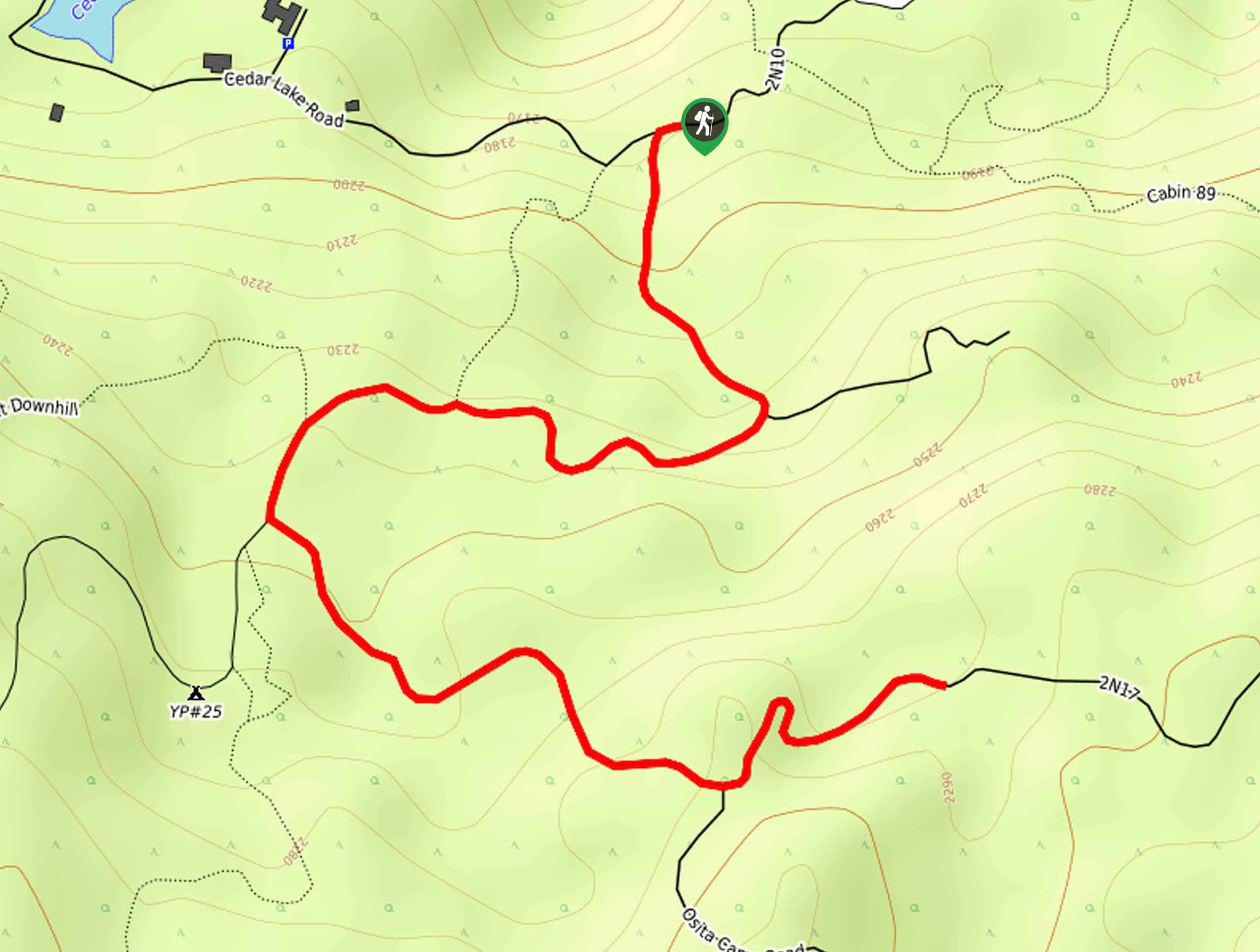
70. Cedar Lake Road to Elsie Caves Hike
Difficulty
The Cedar Lake Road to Elsie Caves Hike is a lovely adventure near Big Bear… Read More
71. Mill Peak Trail
Difficulty
The Mill Peak Trail is a great hiking route in the San Bernardino National Forest… Read More
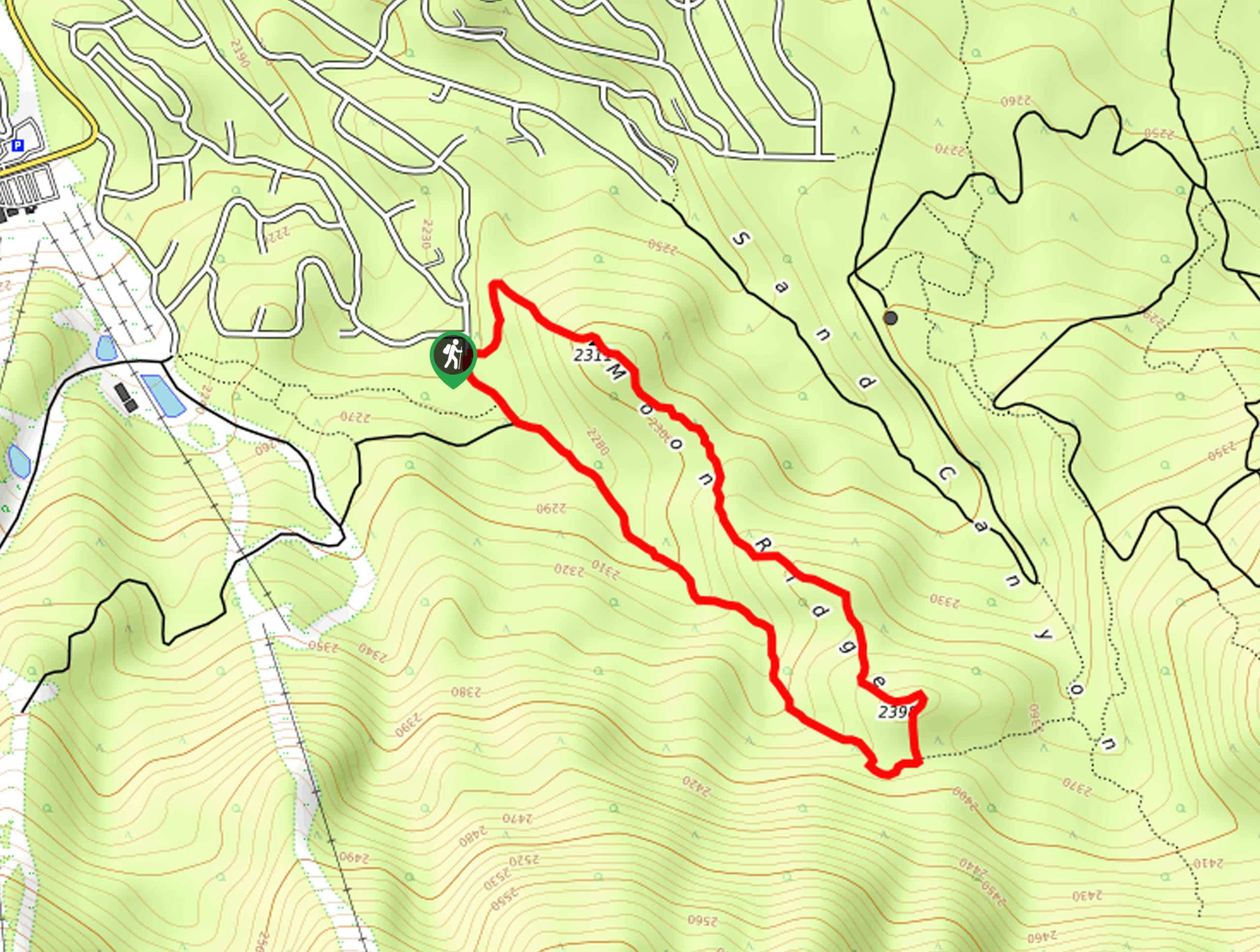
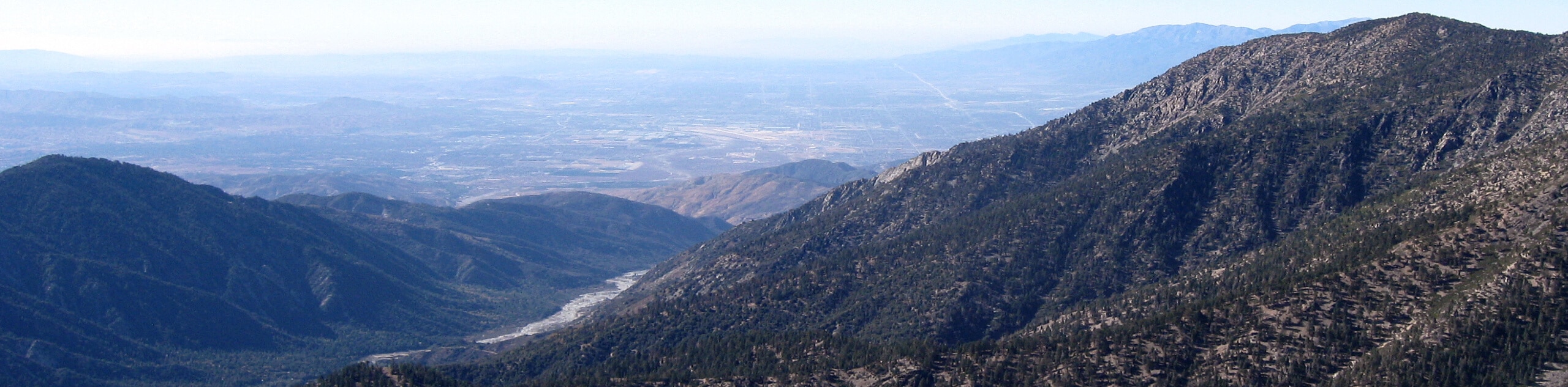
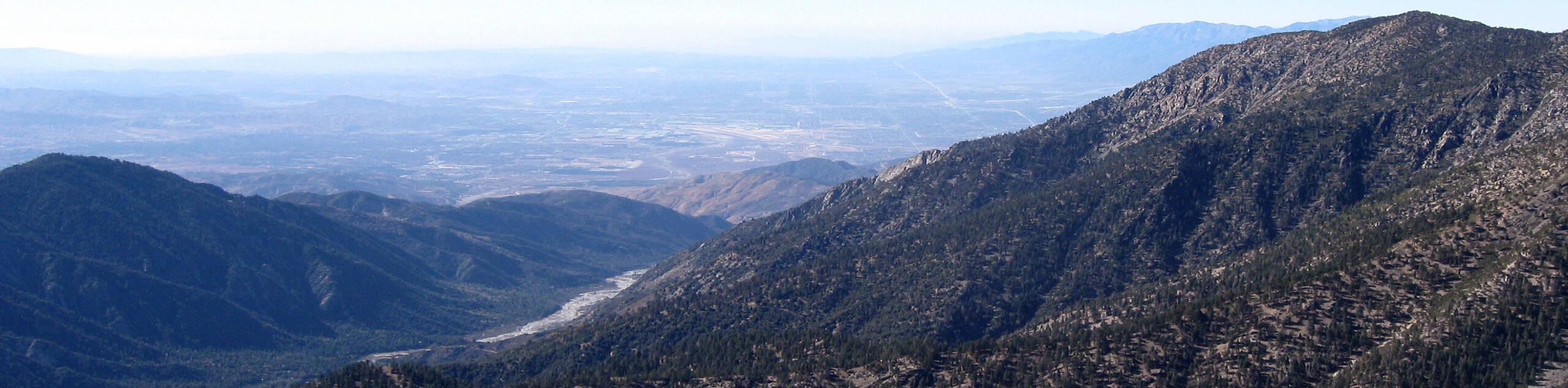
72. Moon Ridge Trail to Bow Canyon Loop
Difficulty
The Moon Ridge Trail to Bow Canyon Loop is a short but fun hiking route… Read More
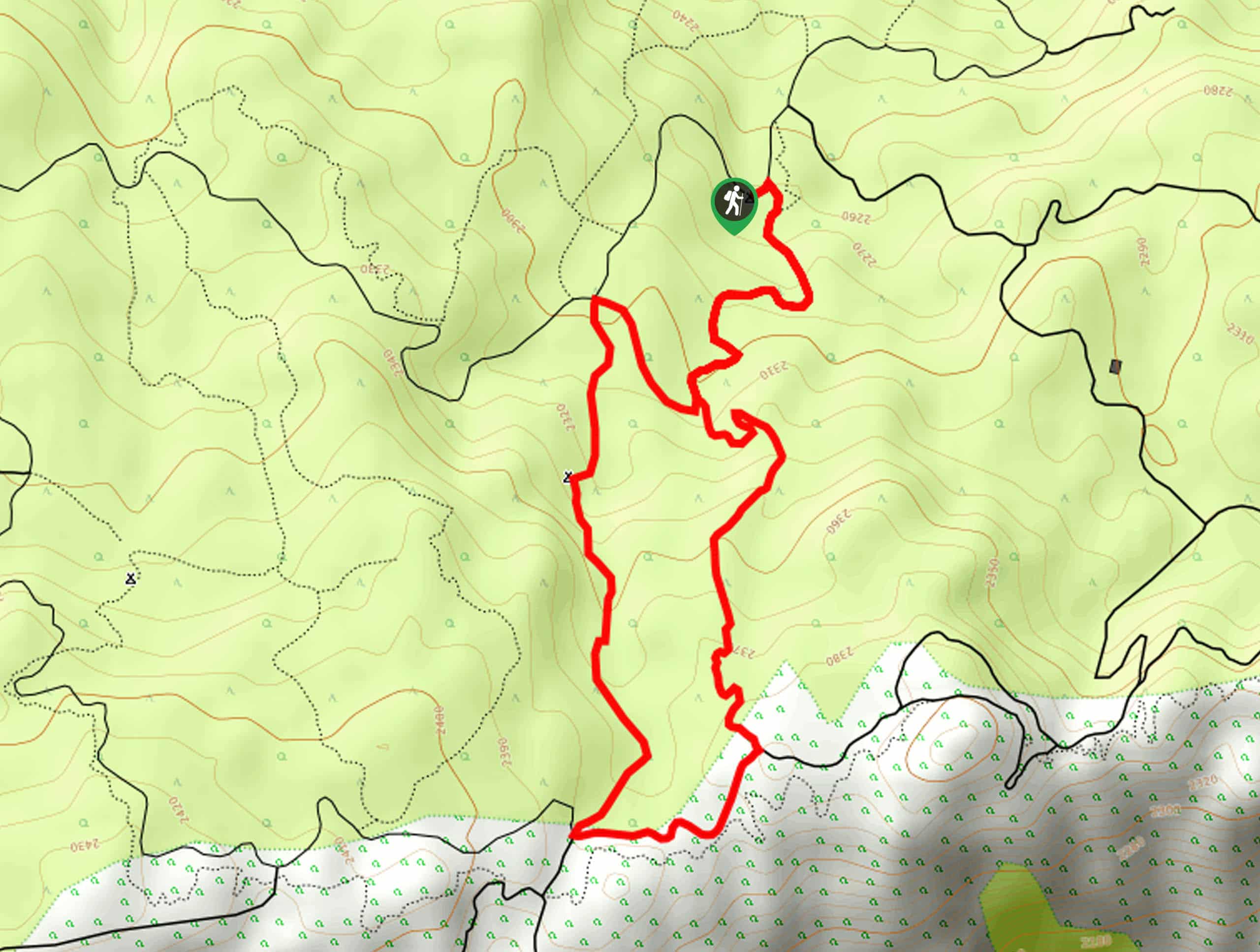
73. Exploration Trail
Difficulty
Hiking the Exploration Trail is a fun experience in the San Bernardino National Forest that… Read More
74. Trick or Treat and Plantation Hike
Difficulty
The Trick or Treat and Plantation Hike is a fantastic route in the San Bernardino… Read More
75. Old CC Spur Trail
Difficulty
The Old CC Spur Trail is a nice and easy hike near San Bernardino that… Read More
76. Rainbow Bridge via PCT Hike
Difficulty
The Rainbow Bridge via PCT Hike is a fantastic adventure in the San Bernardino National… Read More
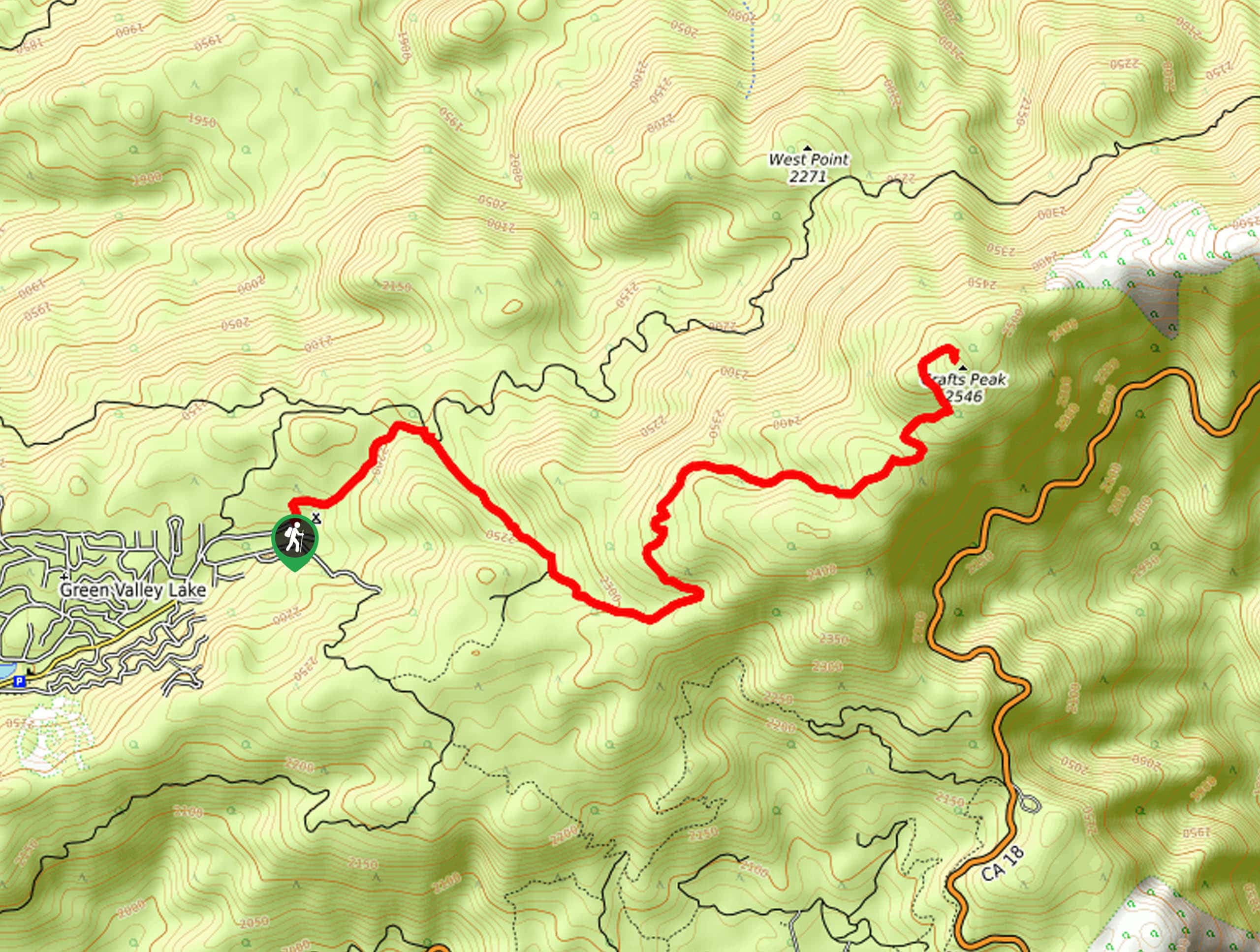
77. Crafts Peak Trail
Difficulty
The Crafts Peak Trail is a wonderfully scenic adventure in the San Bernardino Mountains that… Read More
78. Borea Canyon via Daley Canyon Road Hike
Difficulty
The Borea Canyon via Daley Canyon Road Hike is a challenging journey into the San… Read More
79. Clark’s Grade to Big Bear Hike
Difficulty
The Clark’s Grade to Big Bear Hike is a long and challenging adventure in the… Read More
80. Delamar Mountain via PCT Hike
Difficulty
The Delamar Mountain via PCT Hike is a great adventure in the San Bernardino Mountains… Read More
81. Pine Knoll and Skyline Ridge Loop Hike
Difficulty
The Pine Knoll and Skyline Ridge Loop Hike is a fantastic trail in the San… Read More
82. Tunnell Road to Sawmill Trail
Difficulty
The Tunnell Road to Sawmill Trail is a quiet hiking route near Lake Arrowhead, CA… Read More
83. Deep Creek Hot Springs Loop Trail
Difficulty
Hiking the Deep Creek Hot Springs Loop Trail is a fantastic experience in the San… Read More
84. Club View Hike
Difficulty
The Club View Hike is a fun adventure near Big Bear Lake that will take… Read More
85. Road 1N96C Hike
Difficulty
The Road 1N96C Hike is a great little adventure in the San Bernardino National Forest… Read More
86. Miracle Mile Trail
Difficulty
The Miracle Mile Trail is a fantastic adventure in Big Bear Lake, California that will… Read More
87. Poopout Hill Hike
Difficulty
The Poopout Hill Hike is a great family-friendly adventure in the San Bernardino National Forest… Read More
88. Plantation Trail to Grand View Point
Difficulty
Hiking the Plantation Trail to Grand View Point is a fun excursion in the San… Read More
89. Skyline, Pirates, and Fall Line Loop Trail
Difficulty
The Skyline, Pirates, and Fall Line Loop Trail is an excellent route in the San… Read More
90. Plunge Creek Truck Trail
Difficulty
Hiking the Plunge Creek Truck Trail is a pleasant excursion into the San Bernardino Mountains… Read More
91. Big Bear 2N05 Loop Trail
Difficulty
The Big Bear 2N05 Loop Trail is a relatively short adventure near Big Bear Lake,… Read More
92. Cloudland Truck Trail
Difficulty
The Cloudland Truck Trail is a great hiking route in San Bernardino, California that will… Read More
93. Skyline and Metcalf Meadow Loop Trail
Difficulty
The Skyline and Metcalf Meadow Loop Trail is a great moderate length hiking route in… Read More
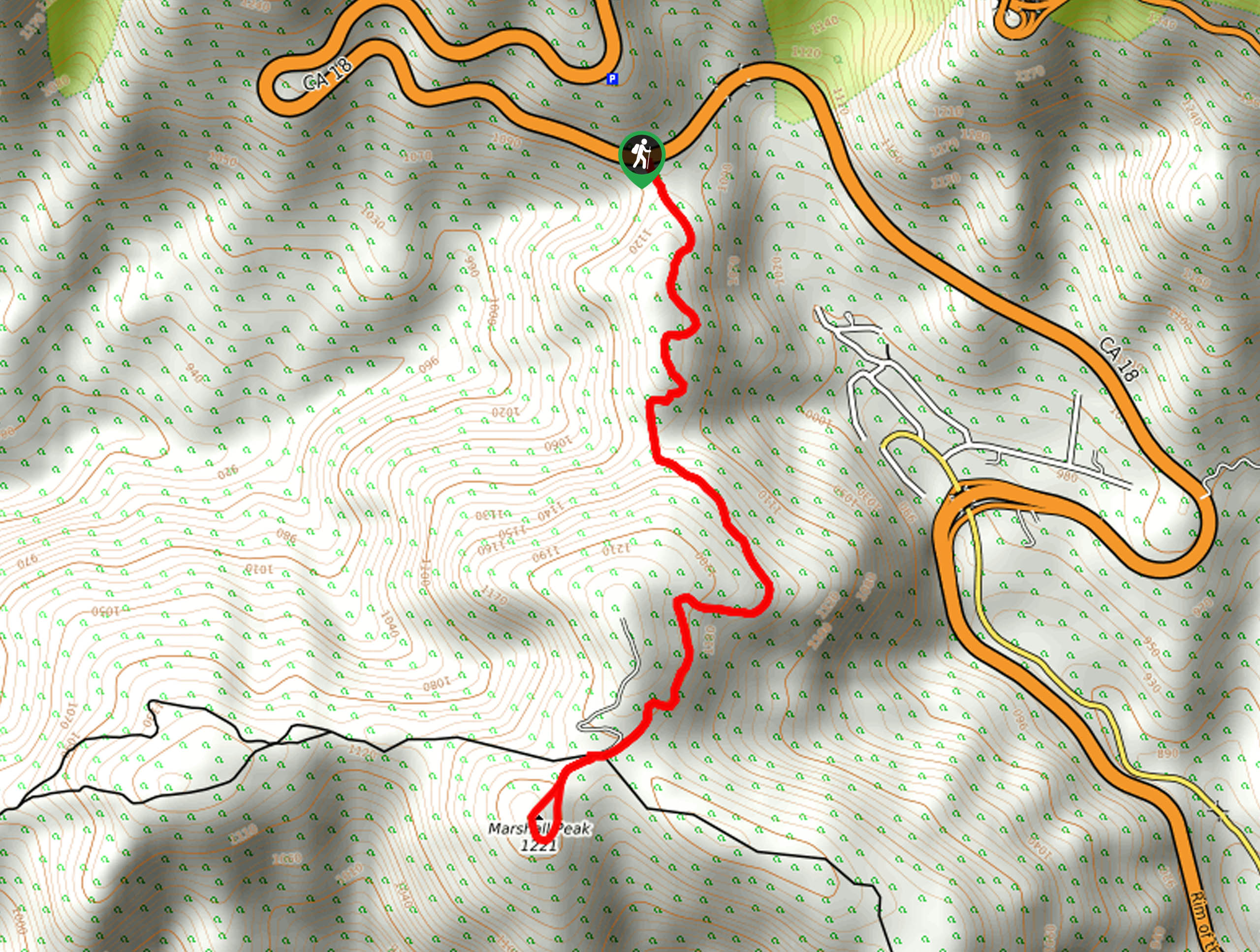
94. Marshall Peak Trail
Difficulty
The Marshall Peak Trail is a fairly short hiking route near San Bernardino that offers… Read More
95. Indian Mountain Hike
Difficulty
The Indian Mountain Hike follows an easy to navigate dirt road that leads up to… Read More
96. Ponderosa Nature Trail
Difficulty
The Ponderosa Nature Trail is a quick and easy hiking loop in the San Bernardino… Read More
97. Highway 138 VOE Trail
Difficulty
The Highway 138 VOE Trail is a fantastic hiking route north of the Valley of… Read More

98. Cram Peak Ridge Trail
Difficulty
The Cram Peak Ridge Trail is a fantastic, albeit difficult, hiking route in the San… Read More

99. Palm View Peak Trail
Difficulty
The Palm View Peak Trail is a great hiking route in the San Bernardino National… Read More

100. Bluff Mesa Hike
Difficulty
The Bluff Mesa Hike is a fantastic adventure in Southern California that features a lovely… Read More
Are we missing your favourite hike?
Tell us! If you've got photos, a GPS track and know the hike, we'd love to share your favourite hike with the rest of the 10Adventures community.