Bristlecone Road Hike
View Photos
Bristlecone Road Hike
Difficulty Rating:
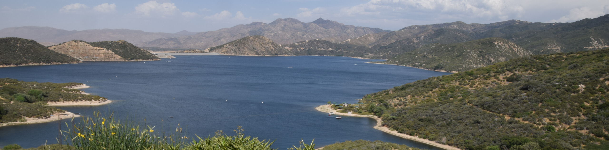
The Bristlecone Road Hike is a quick little adventure in Big Bear Lake that will lead you through a peaceful stretch of forest on the edge of town. While out hiking the trail, you will meander through the woodland terrain and take in the natural beauty of the San Bernardino National Forest, before turning back on the return leg. There are several campsites along this hiking route, making it the perfect activity to pair with a fun weekend of camping.
Getting there
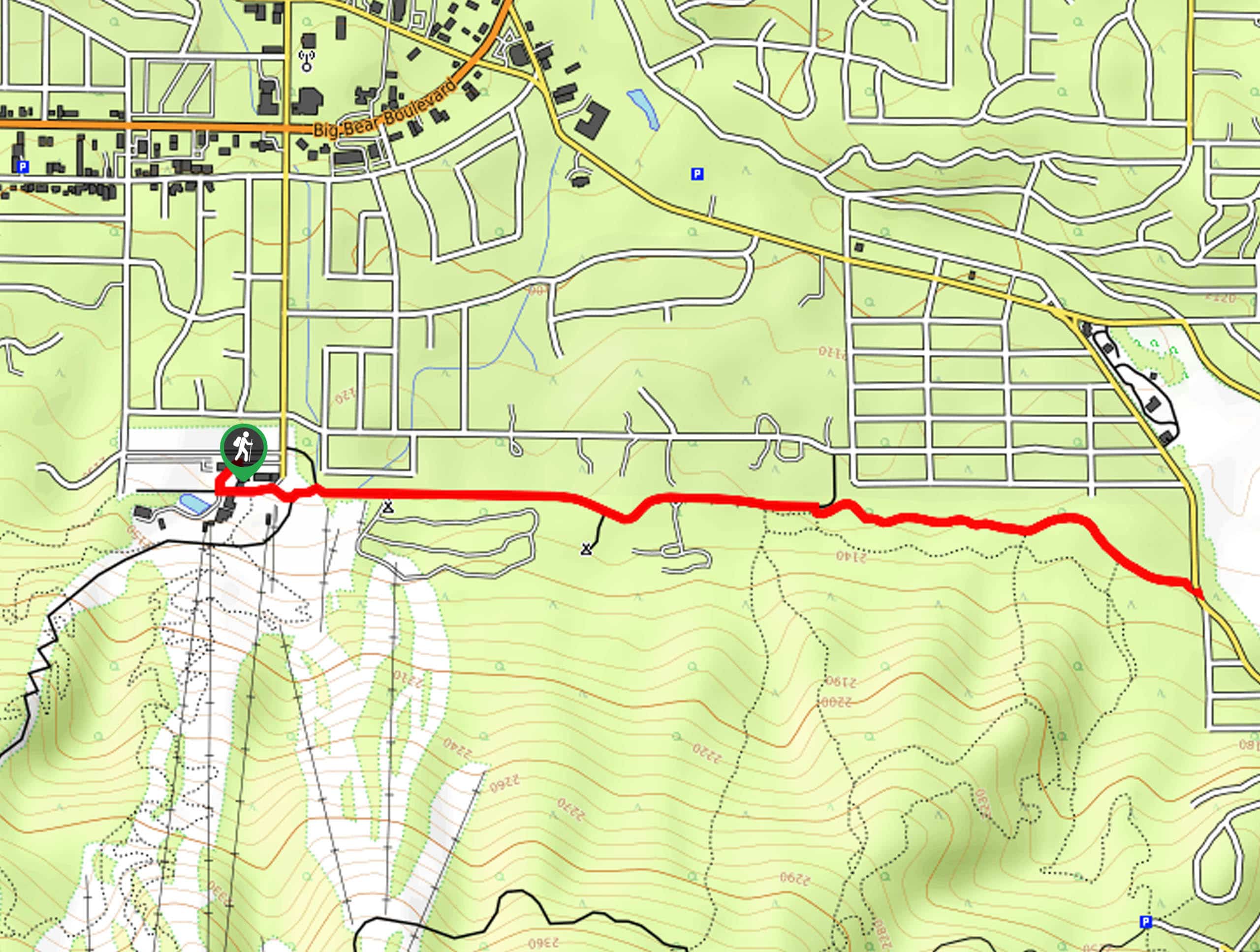
The trailhead for the Bristlecone Road Hike can be found at the Snow Summit Ski Resort parking area.

About
| Backcountry Campground | Pineknot Campground |
| When to do | Year-Round |
| Pets allowed | Yes - On Leash |
| Family friendly | Yes |
| Route Signage | Average |
| Crowd Levels | Moderate |
| Route Type | Out and back |
Bristlecone Road Hike
Elevation Graph
Weather
Bristlecone Road Hike Description
If you are after a quick adventure in the Big Bear Lake area that will allow you to get some peace and quiet, then the Bristlecone Road Hike is a great option to explore, especially if you are out with young kids and want to experience the beauty of nature.
Setting out from the Snow Summit Ski Resort parking area, you will head east to meet up with the forest service road and follow it past the buildings. Here, you will continue on to the east and enter into the dense cover of the forest, where you will pass by several campsites.
Keeping straight along the road, you will eventually arrive at the endpoint of the route at Club View Drive. From here, simply turn back and retrace your footsteps through the peaceful forest to arrive back at the parking area where you began.
Similar hikes to the Bristlecone Road Hike hike

Bluff Mesa Hike
The Bluff Mesa Hike is a fantastic adventure in Southern California that features a lovely woodland setting and can be…
Highway 138 VOE Trail
The Highway 138 VOE Trail is a fantastic hiking route north of the Valley of Enchantment that will see you…
Ponderosa Nature Trail
The Ponderosa Nature Trail is a quick and easy hiking loop in the San Bernardino National Forest that features a…
Comments