Highway 138 VOE Trail
View Photos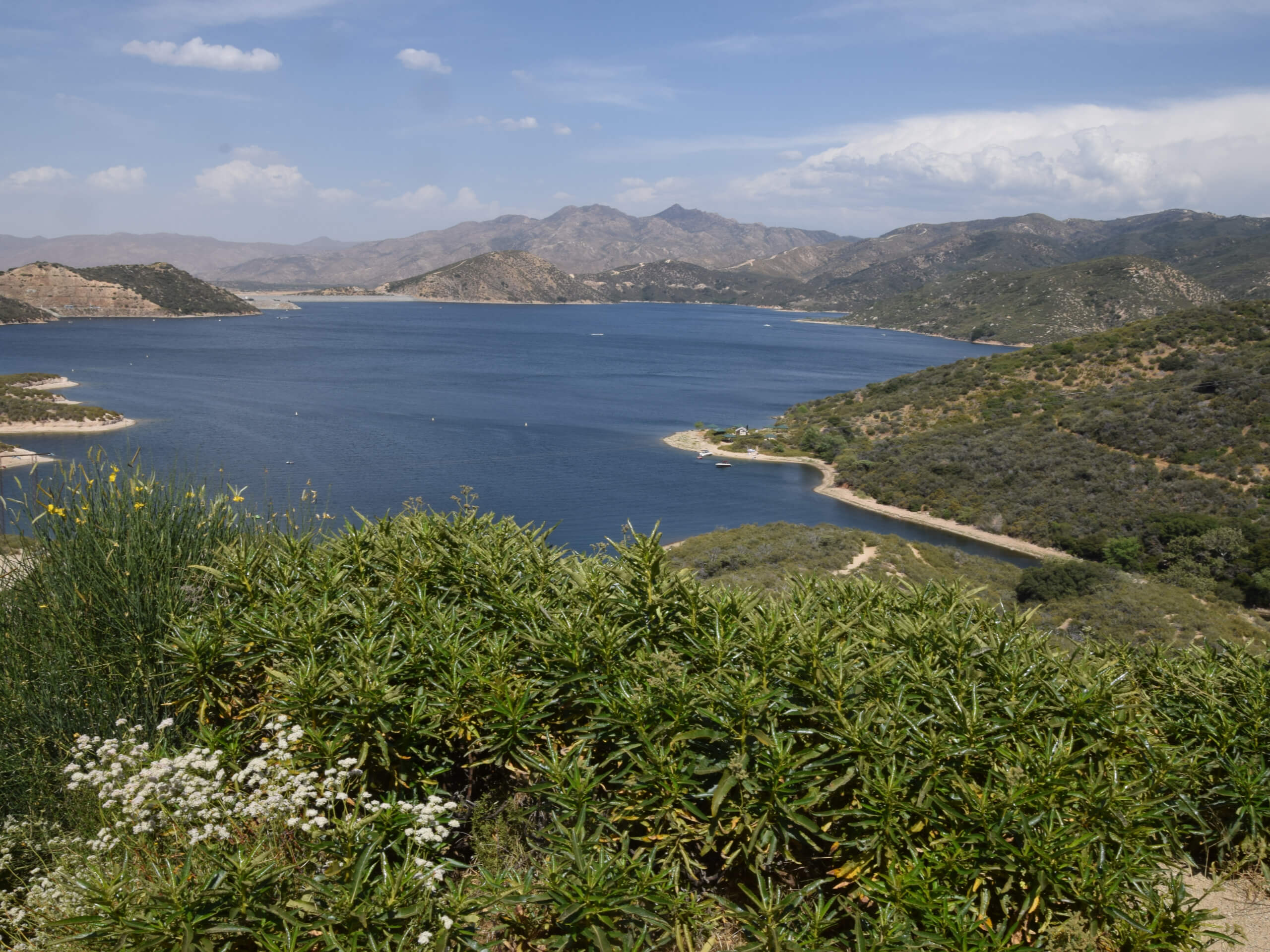
Highway 138 VOE Trail
Difficulty Rating:
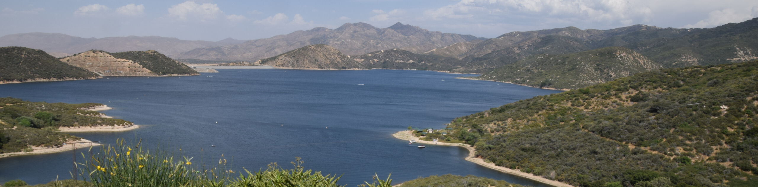
The Highway 138 VOE Trail is a fantastic hiking route north of the Valley of Enchantment that will see you explore a beautiful stretch of woodland terrain. While out hiking the trail, you will steadily gain elevation through the forest, experiencing the peaceful atmosphere of the woodland setting and likely catching some views of curious deer. Although some sections of this route are a bit steep, this is an excellent route that the family will enjoy.
Getting there
The starting point for the Highway 138 VOE Trail can be found along CA-138, just opposite Camp Seely.

About
| Backcountry Campground | Camp Seely |
| When to do | March-December |
| Pets allowed | Yes - On Leash |
| Family friendly | Yes |
| Route Signage | Average |
| Crowd Levels | Low |
| Route Type | Out and back |
Highway 138 VOE Trail
Elevation Graph
Weather
Highway 138 VOE Trail Description
For anyone who enjoys taking some time out of their schedule to explore the forest and relax amongst the trees, the Highway 138 VOE Trail is a great option to explore in the San Bernardino Area. Be sure to have your adventure pass displayed before setting out on your adventure.
From Camp Seely, you will need to make your way across the road to pick up the trailhead. Here, you will enter into the cover of the forest and begin working your way uphill while taking in the natural beauty of the woodland surroundings.
Make sure to remain quiet while hiking through the area, as there is a good chance that you will be able to spot some deer that frequent the area. Eventually, the trail will bend to the south and flatten out a bit as you arrive at the top of the hillside. After a quick rest, simply head back downhill along the same path to return to your vehicle.
Similar hikes to the Highway 138 VOE Trail hike

Bluff Mesa Hike
The Bluff Mesa Hike is a fantastic adventure in Southern California that features a lovely woodland setting and can be…

Palm View Peak Trail
The Palm View Peak Trail is a great hiking route in the San Bernardino National Forest that features a solid…

Cram Peak Ridge Trail
The Cram Peak Ridge Trail is a fantastic, albeit difficult, hiking route in the San Bernardino National Forest that will…
Comments