

Cram Peak Ridge Trail
View Photos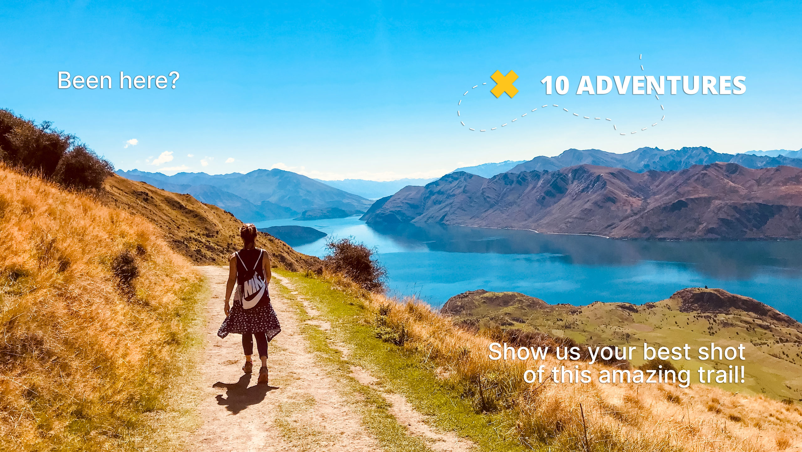
Cram Peak Ridge Trail
Difficulty Rating:
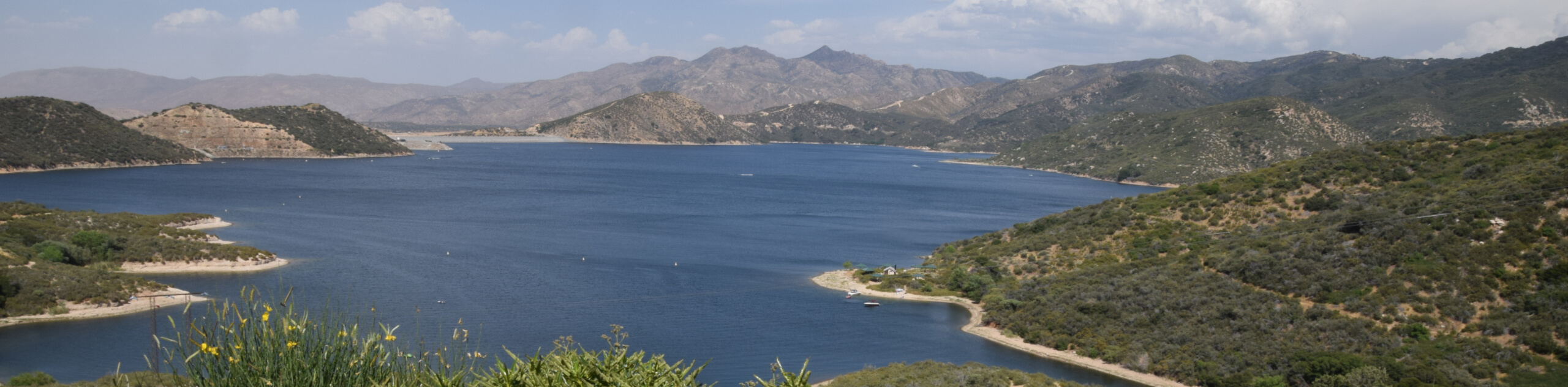
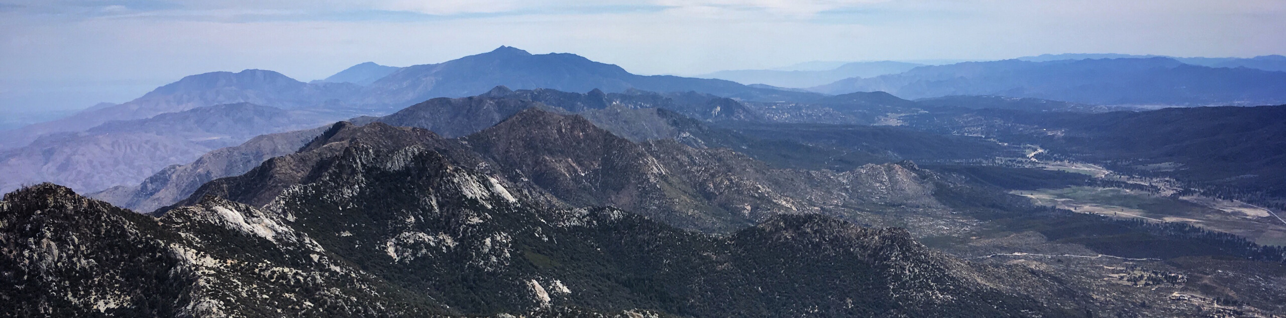
The Cram Peak Ridge Trail is a fantastic, albeit difficult, hiking route in the San Bernardino National Forest that will see you climb sharply uphill to reach a summit with awesome views. While out on the trail, you will gain over 1000ft of elevation per mile, steadily working your way towards the top of Cram Peak for incredible city and wilderness views. Hikers should take note that the distance listed here is only for the out portion of the hike, so you will need to double it in order to account for the return leg back down the mountain.
Getting there
The starting point for the Cram Peak Ridge Trail can be found at the corner of Emerald Avenue and Tres Lagos Drive in Redlands.

About
| Backcountry Campground | No |
| When to do | March-November |
| Pets allowed | Yes - On Leash |
| Family friendly | Older Children only |
| Route Signage | Average |
| Crowd Levels | Low |
| Route Type | One Way |
Cram Peak Ridge Trail
Elevation Graph
Weather
Cram Peak Ridge Trail Description
If you are in Southern California and want a short but steep route that will provide some beautiful views and a good leg burn, then you should check out the Cram Peak Ridge Trail outside of Redlands. This is a straightforward hike that will provide a solid workout, but you will need to double the distance listed here to account for the return leg of the journey.
Setting out from the starting point on Emerald Avenue, you will follow the road to the north, before branching off to the left along Santa Ana Canyon Road. Keeping to the right onto the fire road, you will cross over Morton Creek and begin to gain some elevation along the mountainside.
Keeping to the right, the grade of the trail will begin to steepen as you turn to the northeast and set a course for the summit. Take your time here to account for the large elevation gain and appreciate the beautiful views overlooking Redlands, Mentone, Yucaipa, and the surrounding wilderness. Eventually, you will reach the end point of the trail, where you will turn back and retrace your steps to the trailhead.
Similar hikes to the Cram Peak Ridge Trail hike

Palm View Peak Trail
The Palm View Peak Trail is a great hiking route in the San Bernardino National Forest that features a solid…
Highway 138 VOE Trail
The Highway 138 VOE Trail is a fantastic hiking route north of the Valley of Enchantment that will see you…
Indian Mountain Hike
The Indian Mountain Hike follows an easy to navigate dirt road that leads up to the summit of the peak…
Comments