Butler Peak Trail
View Photos
Butler Peak Trail
Difficulty Rating:
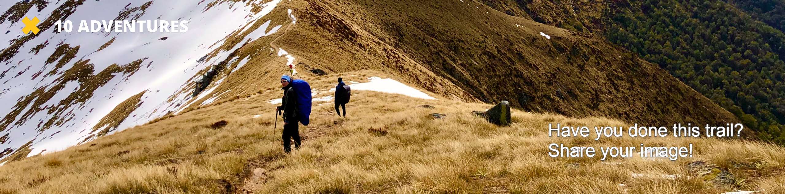
The Butler Peak Trail is a fantastic hiking route in the San Bernardino National Forest that will take you on a steady climb up to a scenic summit viewpoint. While out hiking the trail, you will climb uphill through the forest and traverse some rocky stretches of trail, before pushing onto the summit of Butler Perak for views of the surrounding San Bernardino Mountains. Make sure to bring bear spray along for this hike and make plenty of noise, as bears are sometimes spotted in the area.
Getting there
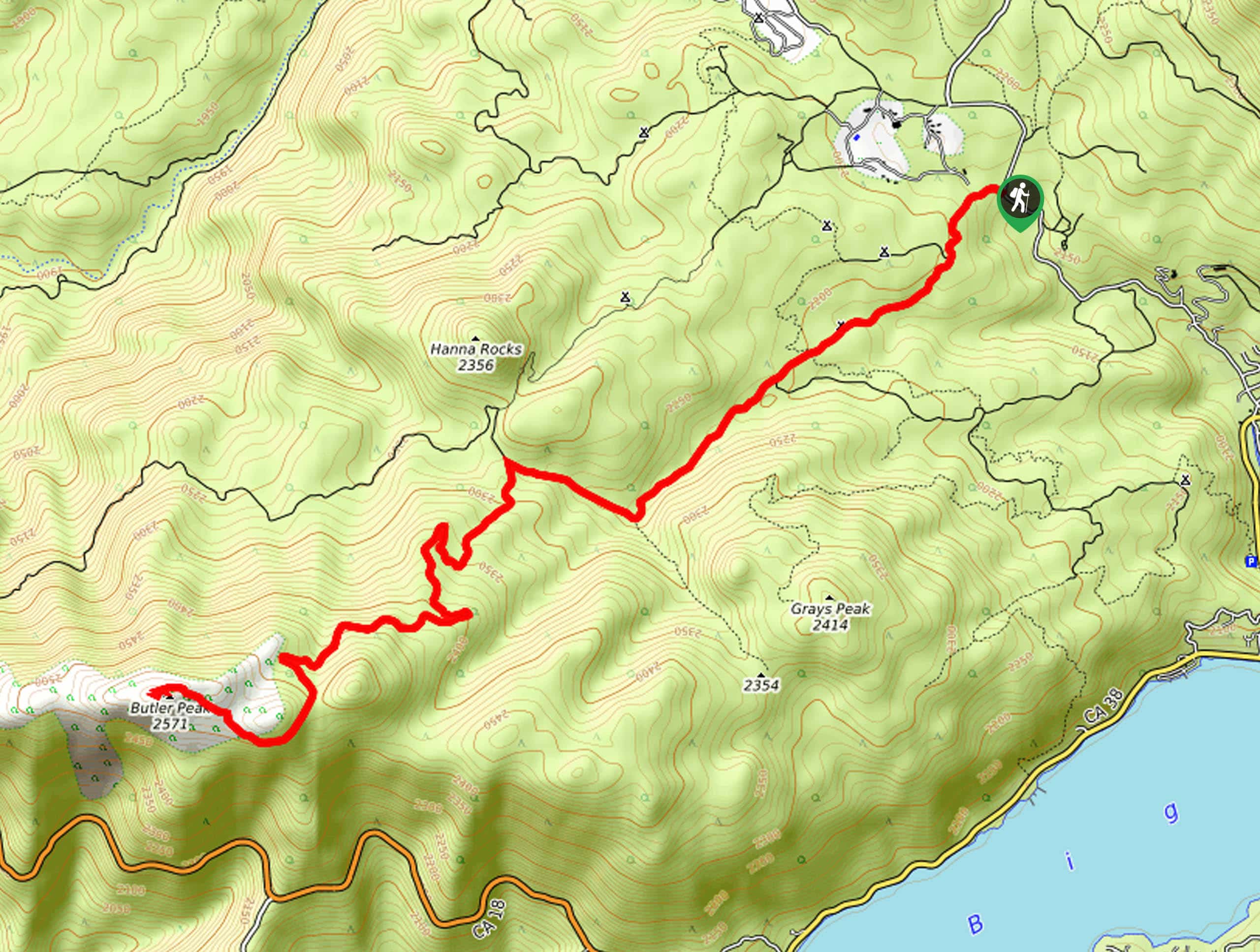
The trailhead for the Butler Peak Trail can be found along Rim of the World Drive, just 1.3mi northwest of Fawnskin.

About
| Backcountry Campground | Gray’s Peak Campground |
| When to do | April-September |
| Pets allowed | Yes - On Leash |
| Family friendly | Older Children only |
| Route Signage | Average |
| Crowd Levels | High |
| Route Type | Out and back |
Butler Peak Trail
Elevation Graph
Weather
Butler Peak Trail Description
If you find yourself in the mood for a moderately challenging hike through the forest that features a steady incline throughout the route and stunning views from a summit viewpoint, then the Butler Peak Trail will be the perfect route for you to explore in the San Bernardino Mountains.
Setting out from the trailhead, you will follow along the forest service road to the southwest as it cuts across the woodland landscape and passes the Grays Peak Campground. If you are wanting to turn this adventure into a multi-day excursion, then this is a great place to set up camp.
If not, continue on to the southwest through the forest, where the terrain will eventually become more rocky and features some interesting boulder formations. Here, you will make the final push up to the summit of Butler Peak, where you can enjoy spectacular views of the surrounding mountains and forests from atop a lookout tower. After taking in the views, simply head back along the same route to return to the trailhead.
Similar hikes to the Butler Peak Trail hike

Bluff Mesa Hike
The Bluff Mesa Hike is a fantastic adventure in Southern California that features a lovely woodland setting and can be…

Palm View Peak Trail
The Palm View Peak Trail is a great hiking route in the San Bernardino National Forest that features a solid…

Cram Peak Ridge Trail
The Cram Peak Ridge Trail is a fantastic, albeit difficult, hiking route in the San Bernardino National Forest that will…
Comments