Cahuilla Mountain Trail
View Photos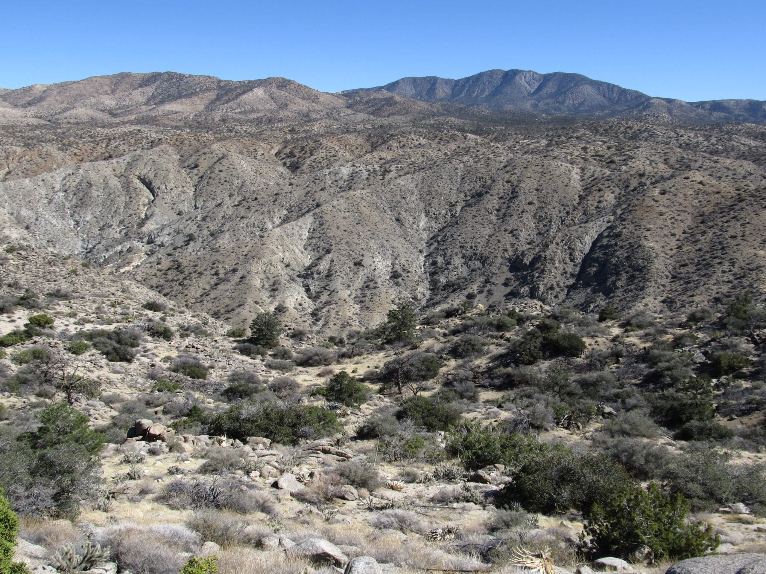
Cahuilla Mountain Trail
Difficulty Rating:
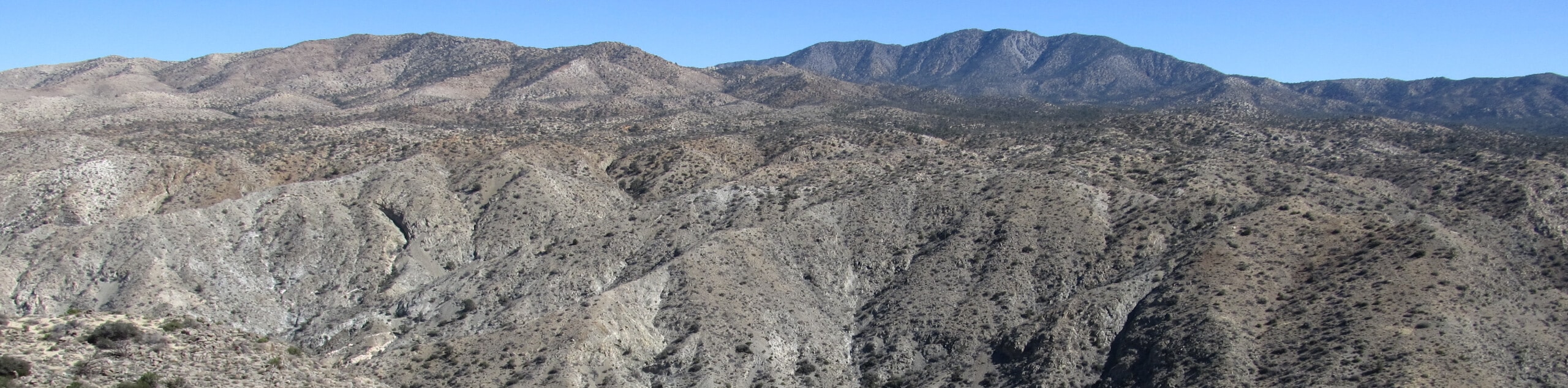
The Cahuilla Mountain Trail is a slightly overgrown, yet easy to navigate hiking route in the San Bernardino National Forest that will take you uphill to reach the summit of the mountain. While out hiking the trail, you will steadily gain elevation through the woodland landscape, enjoying what little views there are along the trail due to the thick cover of the foliage surrounding you. Hikers should take note that there will likely be ticks hiding in the brush, so make sure to check yourself after your adventure and wear long clothing.
Getting there
The Cahuilla Mountain Trailhead can be found along Juan Diego Flats Road/Forest Service Road 7S04, just northwest of Cahuilla.

About
| Backcountry Campground | No |
| When to do | Year-Round |
| Pets allowed | Yes |
| Family friendly | Older Children only |
| Route Signage | Average |
| Crowd Levels | Moderate |
| Route Type | Out and back |
Cahuilla Mountain Trail
Elevation Graph
Weather
Cahuilla Mountain Trail Description
While there are certainly more scenic hiking routes within the boundary of the San Bernardino National Forest, the Cahuilla Mountain Trail still offers some nice views of the surrounding California landscape and a great sense of being enveloped by nature.
Setting out from the roadside trailhead, you will make your way to the south and into the cover of the forest. Here, you will almost immediately begin climbing up the mountainside, as you follow the trail across the undulating landscape.
As you continue along the trail, make sure to pause and appreciate any views that come your way, as the tall foliage at the summit of Cahuilla Mountain doesn’t reveal much in terms of scenic views. Once you have reached the summit of Cahuilla Mountain, you can pause for a quick break or a snack, before heading back down the mountainside along the same trail to return to the trailhead where you began your adventure.
Similar hikes to the Cahuilla Mountain Trail hike

Bluff Mesa Hike
The Bluff Mesa Hike is a fantastic adventure in Southern California that features a lovely woodland setting and can be…

Palm View Peak Trail
The Palm View Peak Trail is a great hiking route in the San Bernardino National Forest that features a solid…

Cram Peak Ridge Trail
The Cram Peak Ridge Trail is a fantastic, albeit difficult, hiking route in the San Bernardino National Forest that will…
Comments