Cleghorn Mountain Trail
View Photos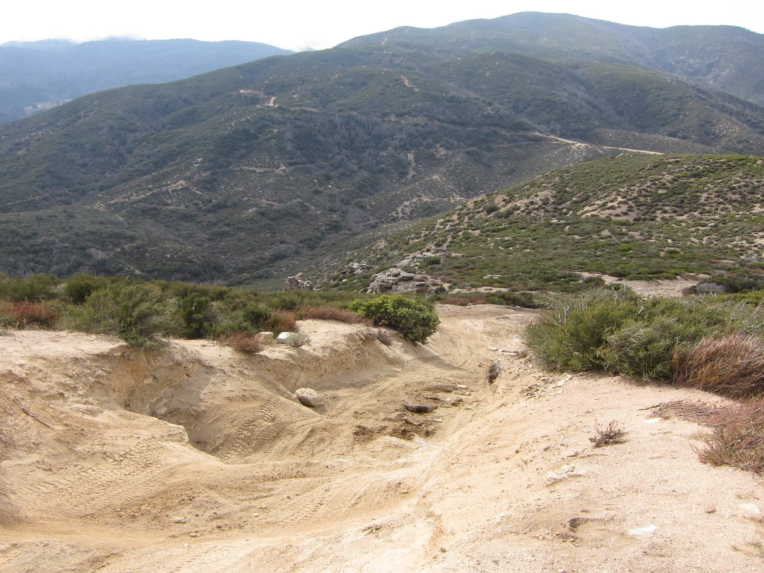
Cleghorn Mountain Trail
Difficulty Rating:
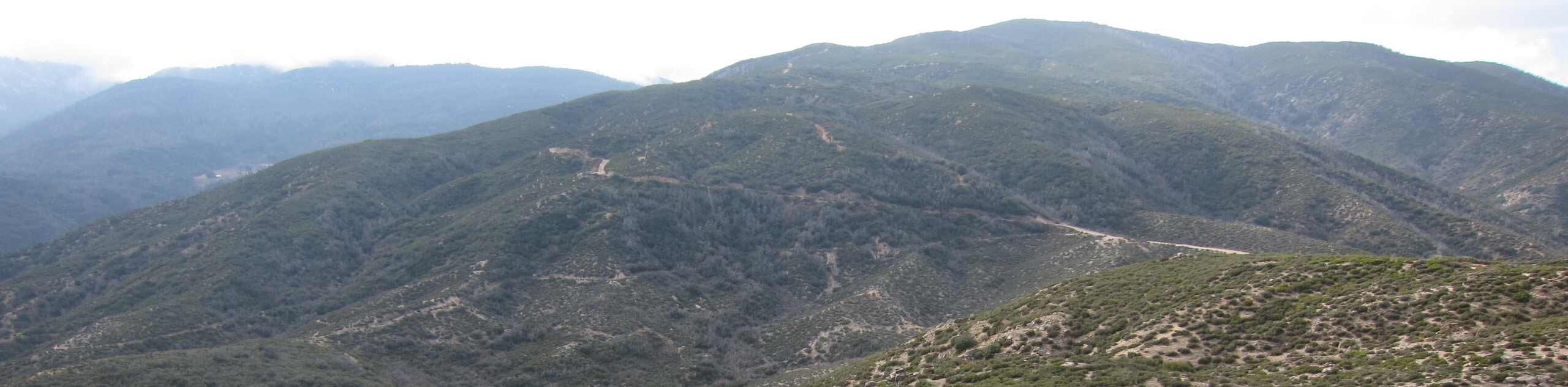
The Cleghorn Mountain Trail is a rugged adventure in the San Bernardino National Forest that climbs uphill through undulating terrain for gorgeous views. While out hiking the trail, you will follow along a rough road and gain a decent amount of elevation, before arriving at the summit of Cleghorn Mountain for views of nearby peaks. Hikers should take note that off-road vehicles are also permitted to utilize this route, so make sure to stick to the side of the trail, as well as keep an eye on children and dogs.
Getting there
The parking area for the Cleghorn Mountain Trail can be found 3.6mi northeast of Cajon Junction, just next to Cleghorn Road.

About
| Backcountry Campground | No |
| When to do | Year-Round |
| Pets allowed | Yes - On Leash |
| Family friendly | Older Children only |
| Route Signage | Average |
| Crowd Levels | Moderate |
| Route Type | Out and back |
Cleghorn Mountain Trail
Elevation Graph
Weather
Cleghorn Mountain Trail Description
For those adventurers who don’t mind hiking along a rugged road populated with off-road vehicles in order to catch some amazing mountain views, the Cleghorn Mountain Trail will be a great option ito explore in the San Bernardino area.
Setting out from the trailhead on CA-138. You will make your way to the southwest along Cleghorn Road as it begins to climb uphill. As there will be passing vehicles and other hikers, try to keep off to the side in order to allow others enough room to safely pass.
As you gain elevation along the mountainside, you will gain a better perspective of the surrounding San Bernardino Mountains, before arriving at the summit of Cleghorn Mountain. Here, you will need to do some light scrambling if you wish to reach the very top of the summit, but if you do you will be rewarded with sweeping views of the area. After reveling in the natural beauty of the California landscape, simply head back down along the same path to return to the trailhead where you started.
Similar hikes to the Cleghorn Mountain Trail hike

Bluff Mesa Hike
The Bluff Mesa Hike is a fantastic adventure in Southern California that features a lovely woodland setting and can be…

Palm View Peak Trail
The Palm View Peak Trail is a great hiking route in the San Bernardino National Forest that features a solid…

Cram Peak Ridge Trail
The Cram Peak Ridge Trail is a fantastic, albeit difficult, hiking route in the San Bernardino National Forest that will…
Comments