Devil’s Hole OHV Trail
View Photos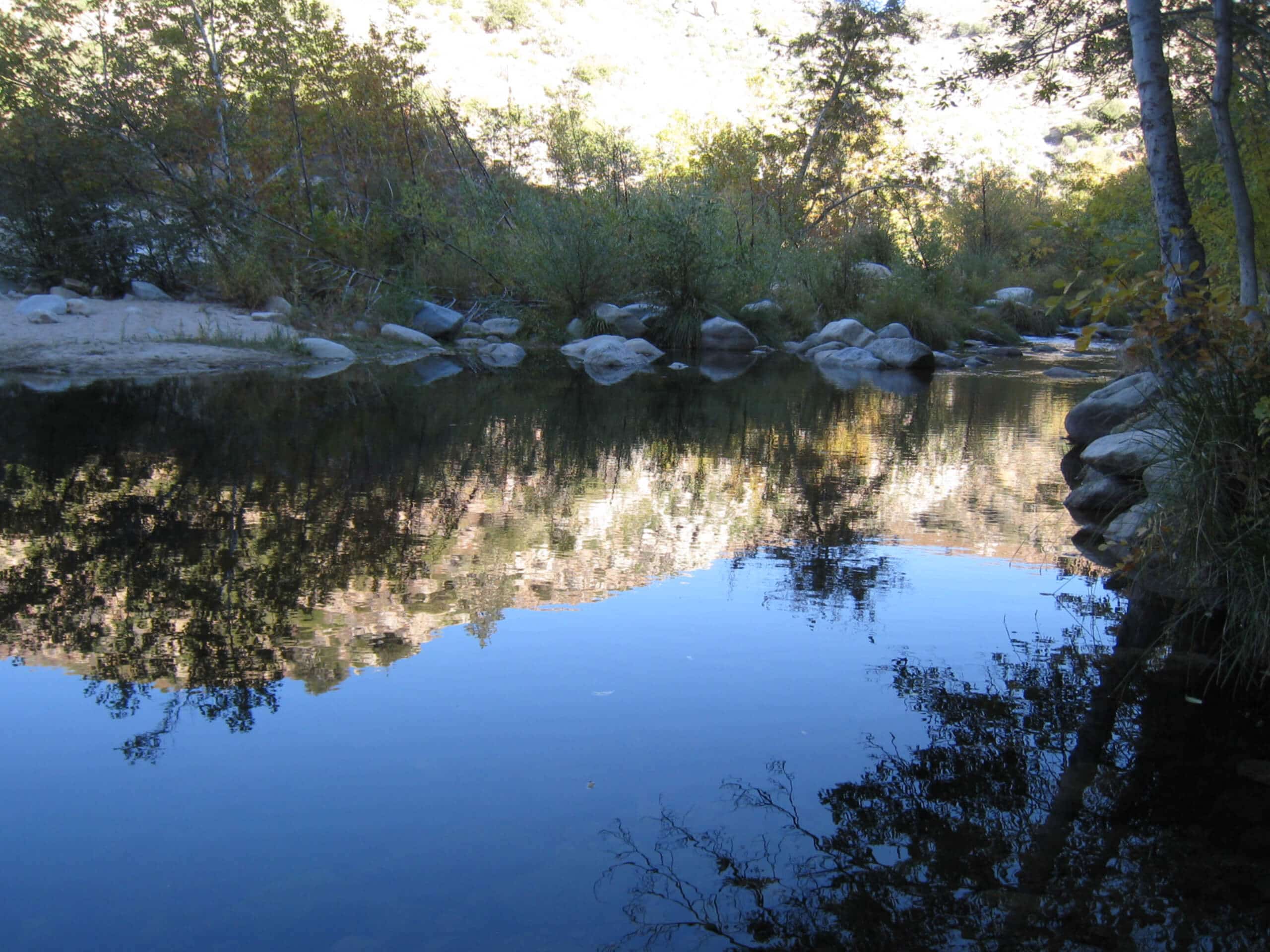
Devil’s Hole OHV Trail
Difficulty Rating:
The Devil’s Hole OHV Trail is a challenging adventure in San Bernardino National Forest that will take you to a charming location along Deep Creek. While out hiking the trail, you will traverse a rough stretch of terrain that features plenty of climbs and drops, before arriving at the picturesque area known as Devil’s Hole. Hikers should take note that this route is primarily used by off-road vehicle enthusiasts, so make sure to allow sufficient room for them to safely pass along the road.
Getting there
The trailhead for the Devil’s Hole OHV Trail can be found at the North Shore Campground on Sawmill Road, just northeast of Lake Arrowhead.

About
| Backcountry Campground | No |
| When to do | April-November |
| Pets allowed | Yes - On Leash |
| Family friendly | No |
| Route Signage | Average |
| Crowd Levels | Moderate |
| Route Type | Out and back |
Devil’s Hole OHV Trail
Elevation Graph
Weather
Devil’s Hole OHV Trail Description
While hiking along an off-road vehicle trail might seem like an easy affair, the Devil’s Hole OHV Trail is a challenging adventure that features rocky terrain, as well as plenty of steep climbs and descents throughout. Be sure to wear proper hiking boots and bring trekking poles for stability. Additionally, the presence of off-road vehicles means that you will need to pay close attention while hiking and allow others sufficient room to safely pass. You will also need to purchase an adventure Pass in order to enjoy this route.
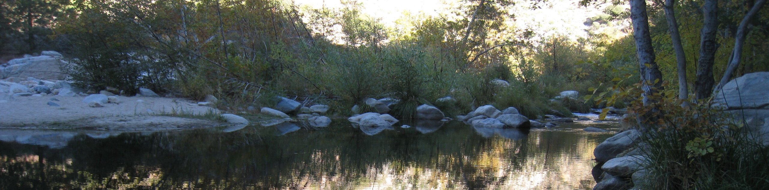
Even though it is quite a rugged route, the Devil’s Hole OHV Trail is still an enjoyable outing that will provide a good amount of exercise and some scenic views. At the end of the hike, you will have the chance to explore the area known as Devil’s Hole and relax alongside the banks of Deep Creek, which makes for a fun day out in the sun!
Setting out from the trailhead, you will follow Sawmill Road through the forest to the northwest for 0.4mi, where you will come to an intersection. Pass straight through and keep to the right over the next 0.6mi, following the route as it climbs uphill to arrive at a series of junctions.
Here, you will pass straight through the first junction and turn left at the second, following the road as it traverses the undulating landscape for the next 1.45mi to arrive at another junction near Stove Flats. Take the path on the right and follow it slightly downhill for 0.3mi to meet up with Squint Ranch Road.
Keeping right at the intersection, you will almost immediately be met with another junction and turn sharply left through the tree cover. From here on there are no further junctions until you arrive at Devil’s Hole, so you will not need to worry about navigation.
Continuing along the rocky and rugged road, you will head northeast for the next 1.3mi to begin your descent towards the banks of Deep Creek. Here, the trail will bend to the north and continue downhill for another 0.5mi, passing through the tree cover to arrive at Devil’s Hole and the charming banks of Deep Creek.
Take some time here to explore the area and enjoy the natural beauty of the landscape. If you brought your swimwear, there is a nice little beach on the opposite bank of the creek where you can relax by the water. After spending some time in the area, you will follow the same route back across the undulating terrain to the southwest in order to arrive back at the trailhead where you started your adventure on the Devil’s Hole OHV Trail.
Insider Hints
Sturdy hiking boots and hiking poles will be needed for this rugged up and down journey.
Remember to pack out any waste that you bring in to keep the landscape in pristine condition.
Keep an eye out for passing vehicles and allow them enough room to pass.
Bring your swimwear if you are hoping to cool off in the waters of Deep Creek.
Similar hikes to the Devil’s Hole OHV Trail hike

Bluff Mesa Hike
The Bluff Mesa Hike is a fantastic adventure in Southern California that features a lovely woodland setting and can be…

Palm View Peak Trail
The Palm View Peak Trail is a great hiking route in the San Bernardino National Forest that features a solid…

Cram Peak Ridge Trail
The Cram Peak Ridge Trail is a fantastic, albeit difficult, hiking route in the San Bernardino National Forest that will…
Comments