Plantation Trail to Grand View Point
View Photos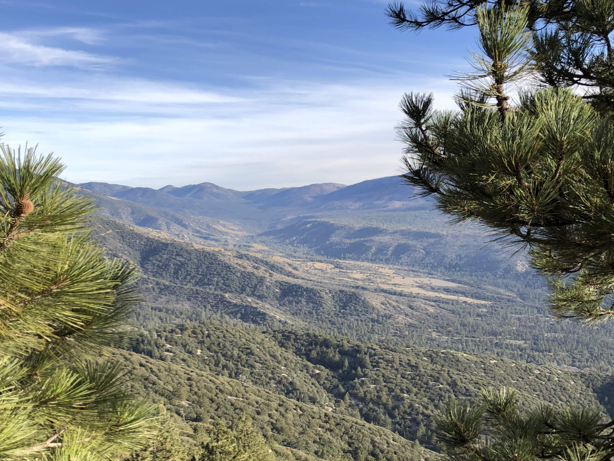
Plantation Trail to Grand View Point
Difficulty Rating:
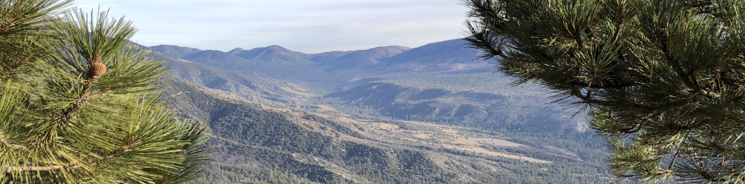
Hiking the Plantation Trail to Grand View Point is a fun excursion in the San Bernardino Mountains that will see you gain elevation on the way to a stunning viewpoint. While out on the trail, you will work your way uphill through some rocky woodland terrain to reach the Skyline Ridge, before pushing on to Grand View Point for views over the Santa Ana River Valley. You might encounter a few mountain bikers along this trail, so be sure to keep an eye out and allow others the room to safely pass.
Getting there
The starting point for the Plantation Trail to Grand View Point can be found along Mill Creek Road, just 0.2mi southwest of the Boulder Group Campground.

About
| Backcountry Campground | Yellow Post #26 |
| When to do | May-November |
| Pets allowed | Yes - On Leash |
| Family friendly | Older Children only |
| Route Signage | Average |
| Crowd Levels | Low |
| Route Type | Out and back |
Plantation Trail to Grand View Point
Elevation Graph
Weather
Plantation Trail to Grand View Point Description
For those in search of a moderately challenging adventure in the San Bernardino National Forest that offers some stunning views across the mountainous landscape, the Plantation Trail to Grand View Point is an excellent route to explore.
Setting out from the trailhead, you will make your way south along the Plantation Trail and follow it through the rocky forest landscape while gaining elevation. After passing by the Yellow Post #26 campsite, you will continue south until you reach the Skyline Ridge, where you will keep south through the junction to reach a beautiful viewpoint.
Heading back along the trail to the junction, turn to the right and follow the path leading northeast to eventually make your way to Grand View Point, where you will enjoy some wonderful views over the Santa Ana River Valley. After taking in the views, head back along the same trail to return to the starting point of your adventure.
Similar hikes to the Plantation Trail to Grand View Point hike

Bluff Mesa Hike
The Bluff Mesa Hike is a fantastic adventure in Southern California that features a lovely woodland setting and can be…

Palm View Peak Trail
The Palm View Peak Trail is a great hiking route in the San Bernardino National Forest that features a solid…

Cram Peak Ridge Trail
The Cram Peak Ridge Trail is a fantastic, albeit difficult, hiking route in the San Bernardino National Forest that will…
Comments