Cedar Springs Trail
View Photos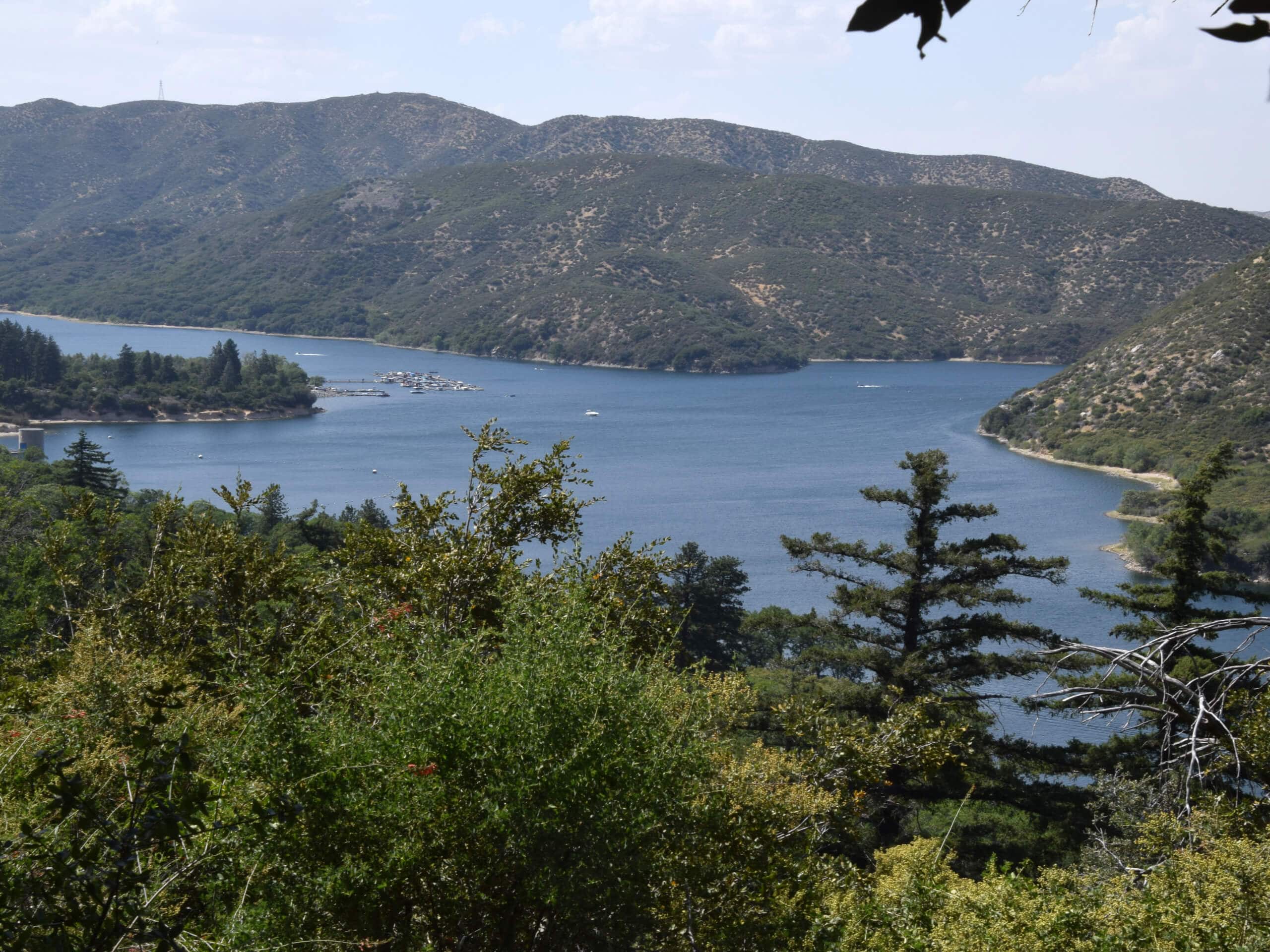
Cedar Springs Trail
Difficulty Rating:
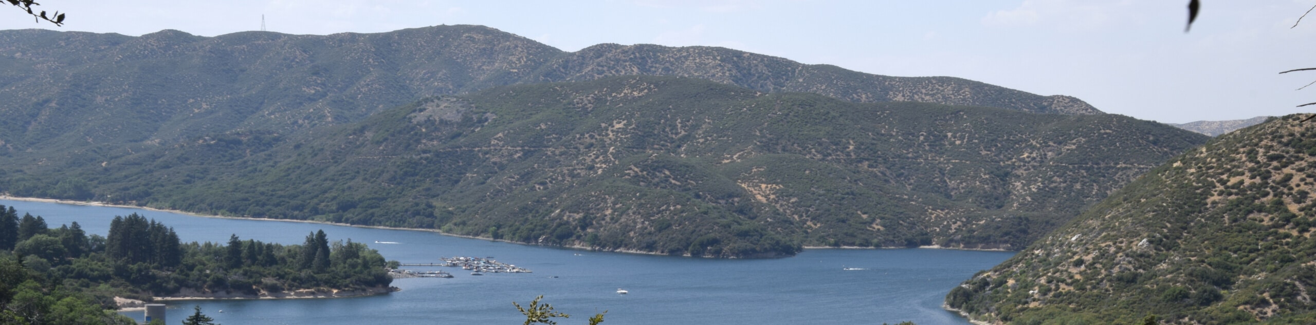
The Cedar Springs Trail is a fun hike in the San Bernardino National Forest that features a good amount of elevation gain and sweeping views of the surrounding landscape. While out hiking the trail, you will climb uphill alongside East Canyon Creek and traverse a series of switchbacks, before experiencing views of nearby mountains and visiting Cedar Creek. Hikers should take note that some parts of this trail are fairly overgrown and there are plenty of insects, so make sure to bring bug spray along.
Getting there
The Cedar Springs Trailhead can be found along Morris Ranch Road, just north of Camp Scherman.

About
| Backcountry Campground | Camp Scherman |
| When to do | Year-Round |
| Pets allowed | Yes - On Leash |
| Family friendly | Older Children only |
| Route Signage | Average |
| Crowd Levels | Moderate |
| Route Type | Out and back |
Cedar Springs Trail
Elevation Graph
Weather
Cedar Springs Trail Description
If you don’t mind trudging through a bit of overgrown brush and want to experience some pleasant views across the surrounding Southern California landscape, then the Cedar Spring Trail will be a great option for you to explore.
Setting out from the trailhead, you will follow along the road as it leads to the northeast and runs parallel to East Canyon Creek. Here, you will begin to gain some elevation, before the trail steepens and transitions into a series of winding switchbacks, eventually arriving at a junction with the Pacific Crest Trail.
Passing straight through the junction, you will enjoy some scenic views of the surrounding area, before descending slightly to the banks of Cedar Creek and Cedar Spring. Take some time here to relax, before heading back along the same route in order to return to the trailhead.
Similar hikes to the Cedar Springs Trail hike

Bluff Mesa Hike
The Bluff Mesa Hike is a fantastic adventure in Southern California that features a lovely woodland setting and can be…

Palm View Peak Trail
The Palm View Peak Trail is a great hiking route in the San Bernardino National Forest that features a solid…

Cram Peak Ridge Trail
The Cram Peak Ridge Trail is a fantastic, albeit difficult, hiking route in the San Bernardino National Forest that will…
Comments