Miller Canyon Trail
View Photos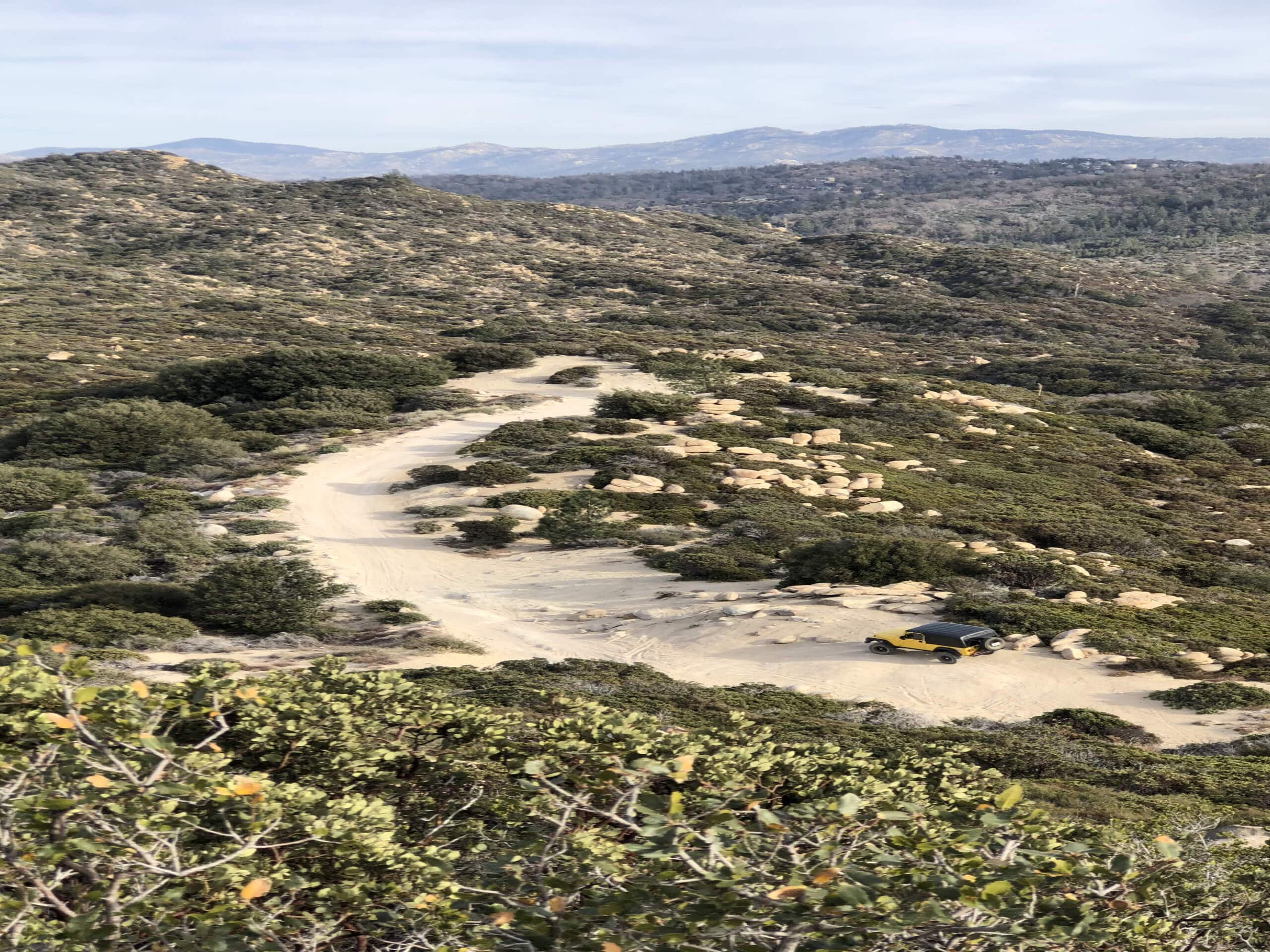
Miller Canyon Trail
Difficulty Rating:
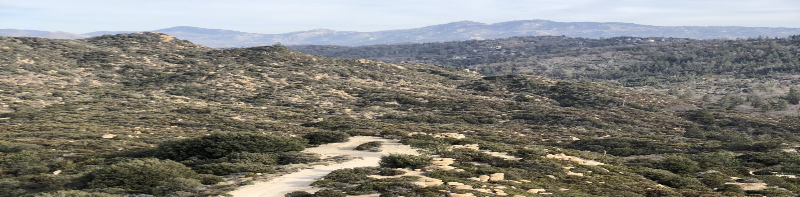
The Miller Canyon Trail is a straightforward hiking route in San Bernardino National Forest that will see you traverse an off-road vehicle path through a scenic canyon. While out hiking the trail, you will steadily gain elevation through Miller Canyon, before the steep climb up towards Lake Arrowhead. Hikers should take note that there will likely be off-road vehicles and mountain bikes along this route, so be sure to keep an eye out and allow others to safely pass.
Getting there
The Miller Canyon Trailhead can be found at the junction between Miller Road and Pilot Rock Ridge Road, just northeast of the Valley of Enchantment.

About
| Backcountry Campground | No |
| When to do | Year-Round |
| Pets allowed | Yes |
| Family friendly | No |
| Route Signage | Average |
| Crowd Levels | High |
| Route Type | Out and back |
Miller Canyon Trail
Elevation Graph
Weather
Miller Canyon Trail Description
If you are after a longer hiking route and don’t mind sharing the road with a few daring off-road vehicle enthusiasts and mountain bikers, then the Miller Canyon Trail in the San Bernardino National Forest will be a fantastic route for you to explore.
Setting out from the trailhead, you will follow along the road as it initially heads to the southwest, before turning east through Miller Canyon. Here, you will steadily gain elevation along the dirt road while enjoying the views of the forested slopes surrounding you.
Eventually, the road will turn to the north and begin climbing more sharply along the hillside to bring you out of the canyon and onto some elevated ground. At this point, you will continue along the road as it turns southeast towards the endpoint of the route near the Lake Arrowhead Country Club. From here, simply turn back along the road and follow it back down into the canyon on the return leg into the starting point of your adventure.
Similar hikes to the Miller Canyon Trail hike

Palm View Peak Trail
The Palm View Peak Trail is a great hiking route in the San Bernardino National Forest that features a solid…

Cram Peak Ridge Trail
The Cram Peak Ridge Trail is a fantastic, albeit difficult, hiking route in the San Bernardino National Forest that will…
Highway 138 VOE Trail
The Highway 138 VOE Trail is a fantastic hiking route north of the Valley of Enchantment that will see you…
Comments