San Jacinto River South Fork Hike
View Photos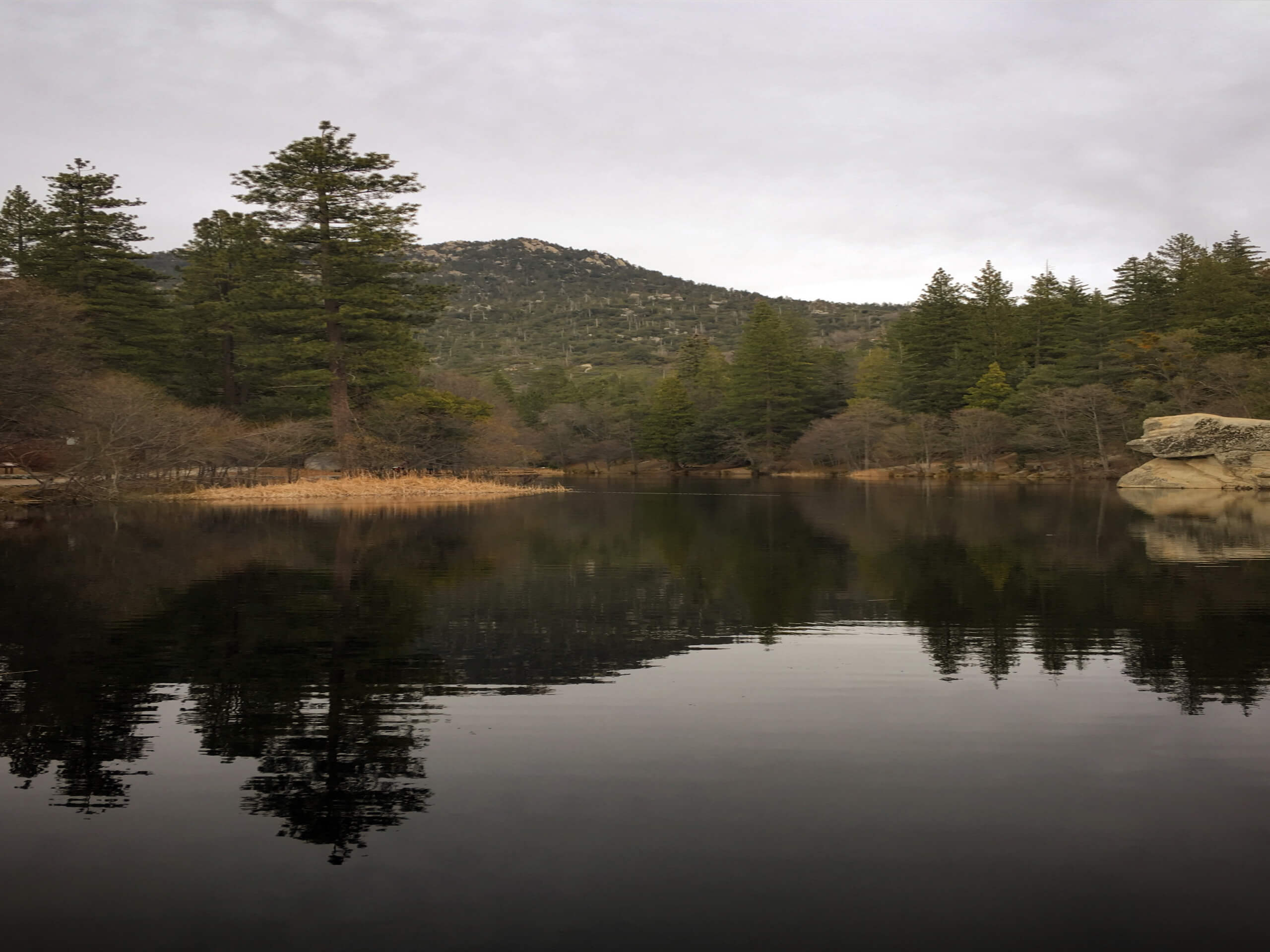
San Jacinto River South Fork Hike
Difficulty Rating:
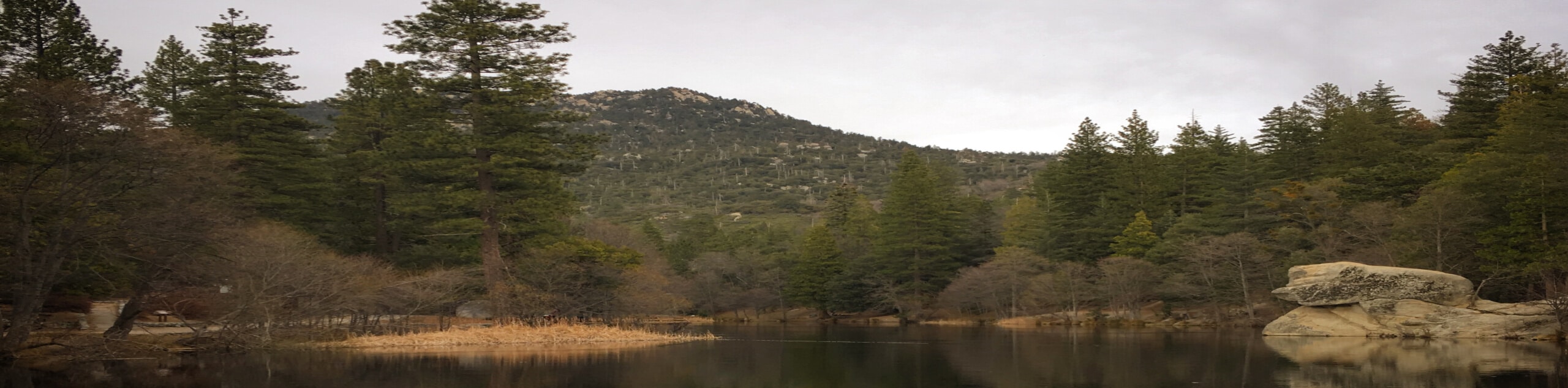
The San Jacinto River South Fork Hike is a fantastic outdoor adventure in the San Bernardino National Forest that will take you along a rocky trail to reach the banks of the river. While out on the trail, you will climb slightly uphill through the brush covered hills to the south, before traversing the slopes of a valley and descending towards the edge of the water. Hikers should take note that the majority of this route is family-friendly, but there are a few narrow and exposed sections where you will want to keep an eye out for children.
Getting there
The trailhead for the San Jacinto River South Fork Hike can be found along CA-74, just 2.6mi southwest of Mountain Center.

About
| Backcountry Campground | No |
| When to do | March-October |
| Pets allowed | Yes - On Leash |
| Family friendly | Yes |
| Route Signage | Average |
| Crowd Levels | Moderate |
| Route Type | Out and back |
San Jacinto River South Fork Hike
Elevation Graph
Weather
San Jacinto River South Fork Hike Description
Whether you are looking for a moderately difficult hike in the mountains to clear your head or want to take the family out for a challenging adventure, the San Jacinto River South Fork Hike is a fun excursion that features mountain views and a peaceful riverside landscape.
Setting out from the trailhead, you will make your way gradually uphill to the southeast through the scrub covered hills, before the trail eventually flattens out. Here, you will enjoy some wonderful views of the surrounding mountain landscape.
After this section, the trail will quickly begin to descend into the valley, traversing some narrow and exposed sections of trail to arrive at the banks of the San Jacinto River, which might be dried up depending on the time of year. After exploring the area, you will climb back uphill along the trail in order to arrive back at the trailhead where you began your hike.
Similar hikes to the San Jacinto River South Fork Hike hike

Bluff Mesa Hike
The Bluff Mesa Hike is a fantastic adventure in Southern California that features a lovely woodland setting and can be…

Palm View Peak Trail
The Palm View Peak Trail is a great hiking route in the San Bernardino National Forest that features a solid…

Cram Peak Ridge Trail
The Cram Peak Ridge Trail is a fantastic, albeit difficult, hiking route in the San Bernardino National Forest that will…
Comments