Bear Creek from Glory Ridge Road Hike
View Photos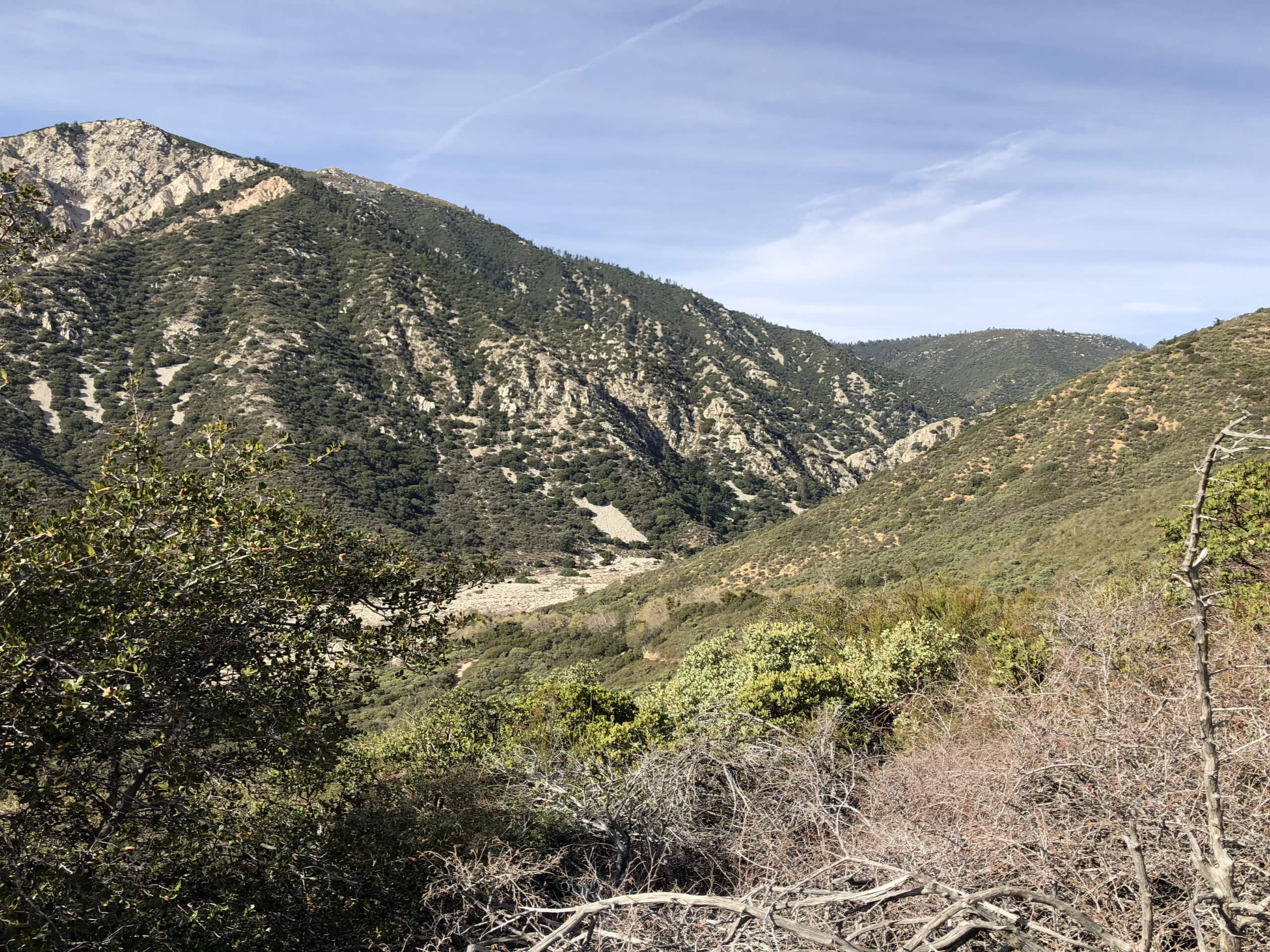
Bear Creek from Glory Ridge Road Hike
Difficulty Rating:
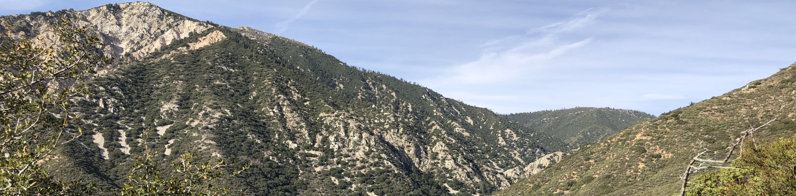
The Bear Creek from Glory Ridge Road is a short, but challenging, adventure in San Bernardino National Forest that begins atop a ridge and descends a steep trail to reach the banks of the creek. While out hiking the trail, you will make your way through the forest along a steep and switchbacking trail, before arriving at Bear Creek to explore the area. Make sure to either bring a GPS or leave a marker at the end of the trail near Bear Creek, as the trail can be difficult to find for the return leg.
Getting there
The trailhead for the Bear Creek from Glory Ridge Road Hike can be found along Glory Ridge Road, just 1.7mi south of the junction with CA-18.

About
| Backcountry Campground | No |
| When to do | March-October |
| Pets allowed | No |
| Family friendly | Older Children only |
| Route Signage | Average |
| Crowd Levels | Low |
| Route Type | Out and back |
Bear Creek from Glory Ridge Road Hike
Elevation Graph
Weather
Bear Creek from Glory Ridge Road Hike Description
If you enjoy sweeping mountain views, tranquil forests, charming creekside areas, and steep trails, then the Bear Creek from Glory Ridge Road Hike will be the perfect route in San Bernardino National Forest for you to explore.
Setting out from the parking area, you will follow the road to the south for a short distance, where you will find the trail branching off into the forest on your left. Here, you will enter into the tree cover and begin your descent along the steep slope, following along the switchback trail until you arrive at the banks of Bear Creek.
Take some time here to explore the peaceful landscape along the creek and experience the natural beauty of the California wilderness, before finding the trail for the return leg. Here, you will follow along the same path up the steep slopes of the ridge, eventually arriving back at the parking area where you began your adventure.
Similar hikes to the Bear Creek from Glory Ridge Road Hike hike

Bluff Mesa Hike
The Bluff Mesa Hike is a fantastic adventure in Southern California that features a lovely woodland setting and can be…

Palm View Peak Trail
The Palm View Peak Trail is a great hiking route in the San Bernardino National Forest that features a solid…

Cram Peak Ridge Trail
The Cram Peak Ridge Trail is a fantastic, albeit difficult, hiking route in the San Bernardino National Forest that will…
Comments