Exploration Trail
View Photos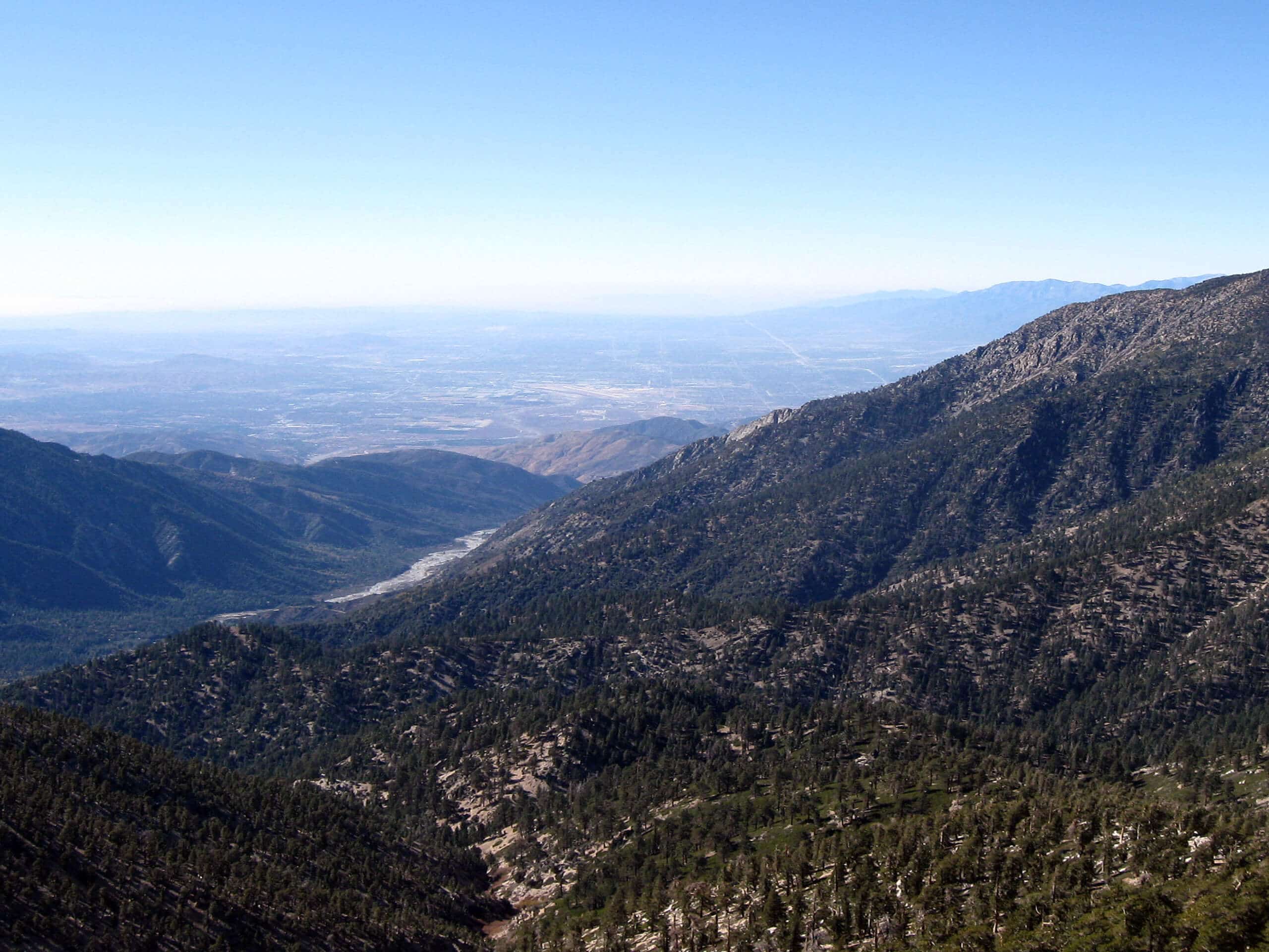
Exploration Trail
Difficulty Rating:
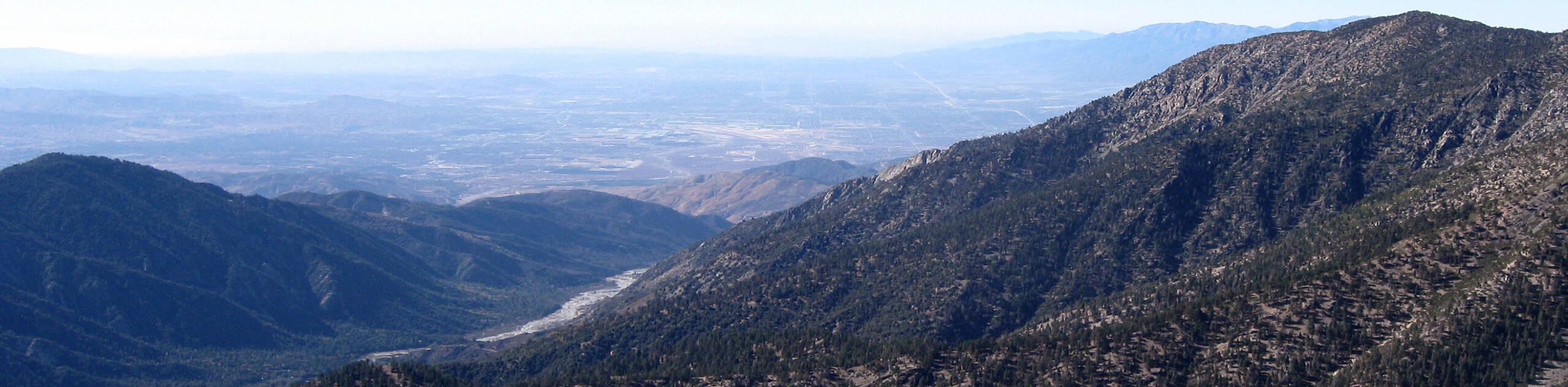
Hiking the Exploration Trail is a fun experience in the San Bernardino National Forest that features some rugged terrain and beautiful views. While out on the trail, you will traverse the undulating woodland terrain of the San Bernardino Mountains, while gazing out from your elevated positions at the nearby peaks and valleys. This hike can also be done in reverse by parking at the Deer Lick Fire Station in Running Springs.
Getting there
The starting point for the Exploration Trail can be found along Keller Peak Road, just 0.3mi southeast of the Shady Cove Group Campground.

About
| Backcountry Campground | No |
| When to do | April-November |
| Pets allowed | Yes - On Leash |
| Family friendly | Older Children only |
| Route Signage | Average |
| Crowd Levels | High |
| Route Type | Out and back |
Exploration Trail
Elevation Graph
Weather
Exploration Trail Description
For those adventurers who want to spend a bit more time on the trails navigating the rugged and beautiful terrain of the San Bernardino Mounts, the Exploration Trail is a great out-and-back option that can be done from either direction.
Setting out from the edge of Keller Peak Road, the route will take you to the southwest through the undulating terrain of the mountains, passing through peaceful stretches of woodland while also offering beautiful views of the surrounding Southern California landscape.
After arriving at the endpoint of the route near the Deer Lick Fire Station, simply turn back along the trail to relive the beautiful scenery on the return leg.
Similar hikes to the Exploration Trail hike

Bluff Mesa Hike
The Bluff Mesa Hike is a fantastic adventure in Southern California that features a lovely woodland setting and can be…

Palm View Peak Trail
The Palm View Peak Trail is a great hiking route in the San Bernardino National Forest that features a solid…

Cram Peak Ridge Trail
The Cram Peak Ridge Trail is a fantastic, albeit difficult, hiking route in the San Bernardino National Forest that will…
Comments