Sugarloaf Mountain Trail
View Photos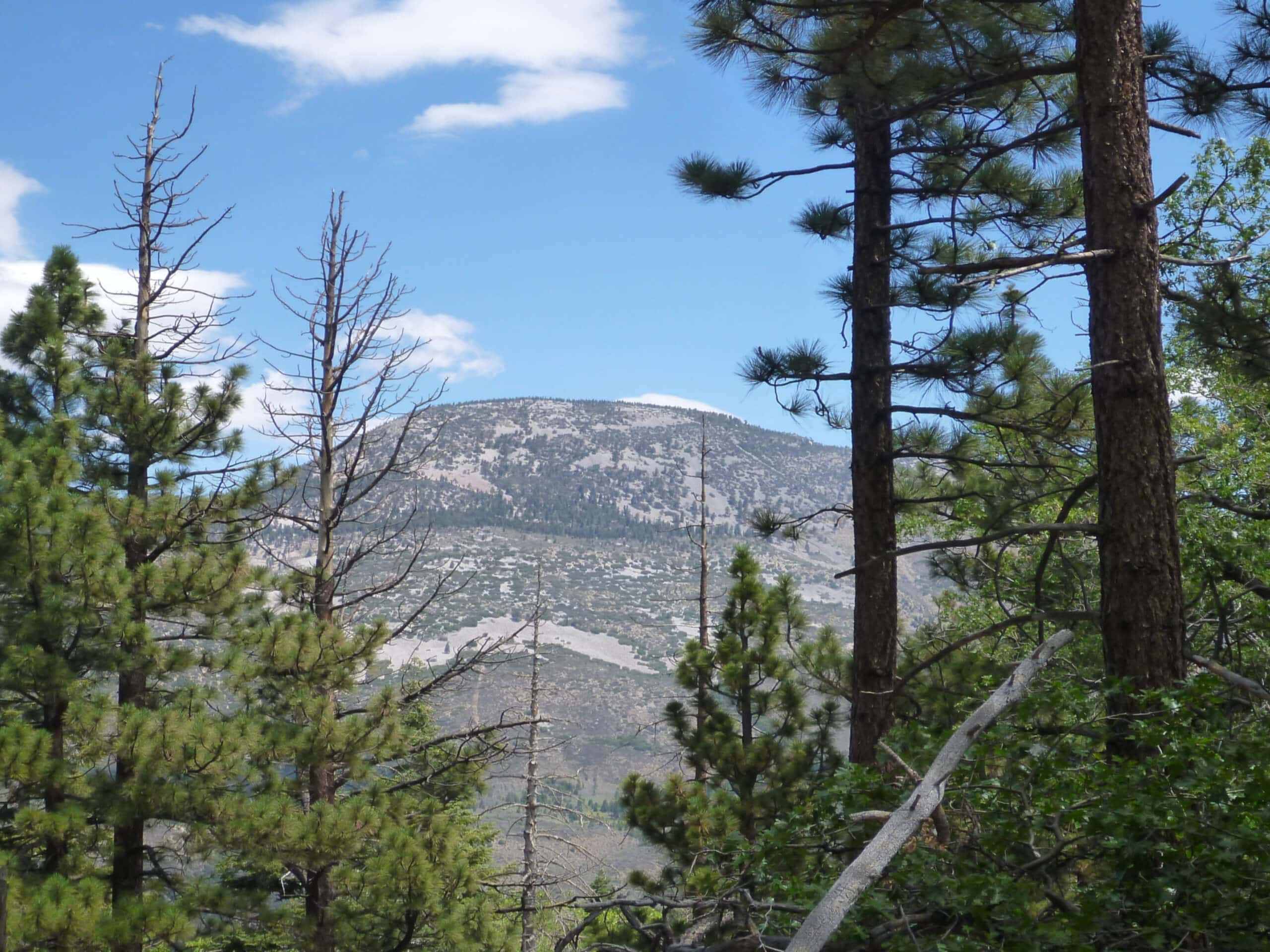
Sugarloaf Mountain Trail
Difficulty Rating:
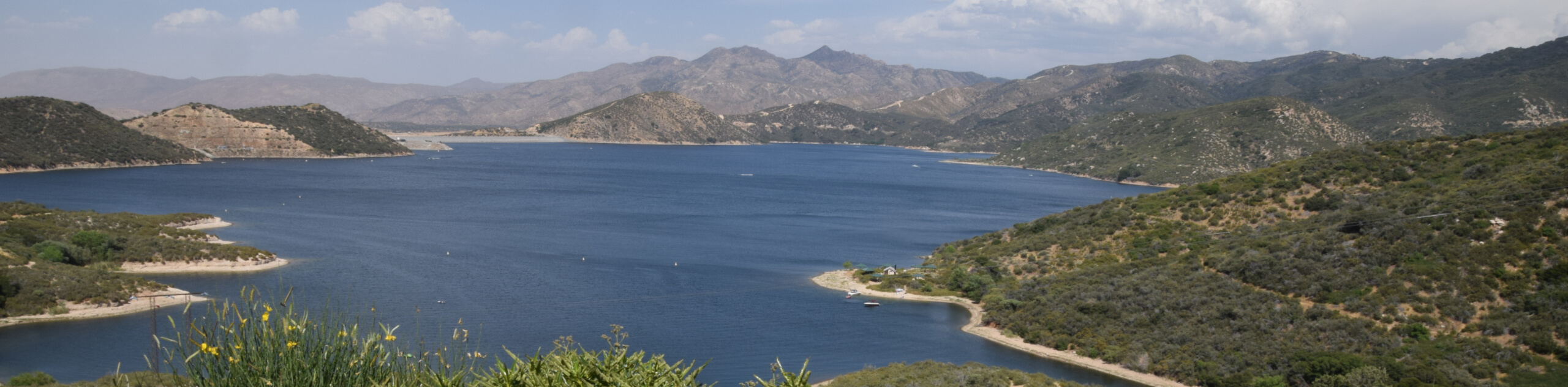
The Sugarloaf Mountain Trail is a challenging hiking route in San Bernardino National Forest that climbs uphill for views of the surrounding mountains. While out hiking the trail, you will gain a large amount of elevation as you climb uphill through the forest to reach the scenic viewpoint atop Sugarloaf Mountain. Take note that you will need to display an Adventure Pass on your vehicle in order to utilize this trail, otherwise you will be fined.
Getting there
The starting point for the Sugarloaf Mountain Trail can be found at the junction between CA-38 and 2N93, just south of Woodlands.

About
| Backcountry Campground | No |
| When to do | Year-Round |
| Pets allowed | Yes |
| Family friendly | No |
| Route Signage | Average |
| Crowd Levels | High |
| Route Type | Out and back |
Sugarloaf Mountain Trail
Elevation Graph
Weather
Sugarloaf Mountain Trail Description
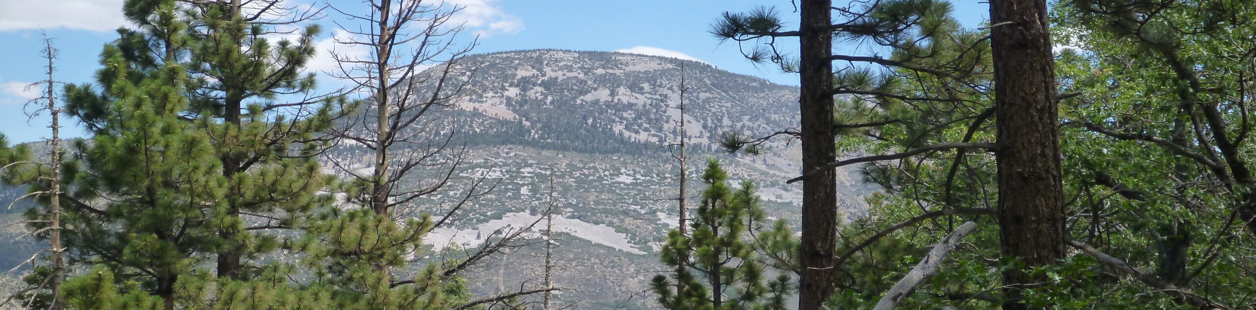
If you are after a rough and rugged adventure in the San Bernardino Area that features some steep sections of trail and beautifully atmospheric forests, then you should certainly check out the Sugarloaf Mountain Trail.
Setting out from the trailhead, you will make your way along the road as it leads through the forest to the southwest, before bending to the southeast. Eventually, you will pick up the Sugarloaf Trail as it branches off to the right and begins climbing more sharply uphill.
As you work your way up the mountainside to the southeast, take some time to appreciate the natural beauty of your woodland surroundings, before the trail turns to the southwest on the final approach to the summit. After climbing up the rugged terrain of the ridge, you will arrive at the top of Sugarloaf Mountain and experience some beautiful views of the surrounding California landscape. Once you have had your fill of the views, simply head back down along the same route to return to the trailhead where you started.
Similar hikes to the Sugarloaf Mountain Trail hike

Palm View Peak Trail
The Palm View Peak Trail is a great hiking route in the San Bernardino National Forest that features a solid…

Cram Peak Ridge Trail
The Cram Peak Ridge Trail is a fantastic, albeit difficult, hiking route in the San Bernardino National Forest that will…
Highway 138 VOE Trail
The Highway 138 VOE Trail is a fantastic hiking route north of the Valley of Enchantment that will see you…
Comments