Keller Peak Hike
View Photos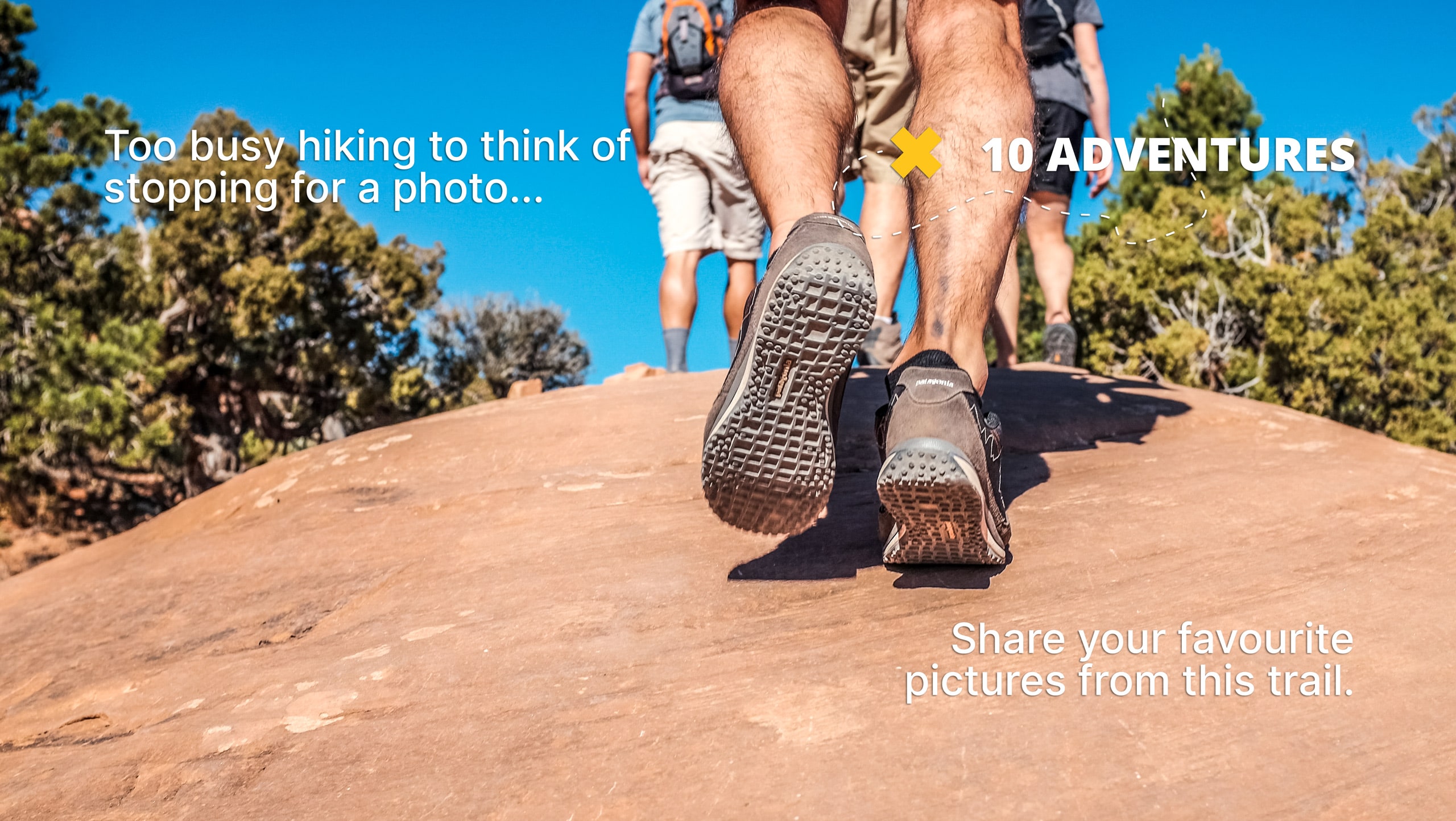
Keller Peak Hike
Difficulty Rating:
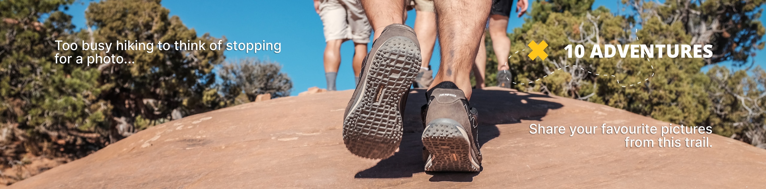
The Keller Peak Hike is a spectacular long distance adventure in the San Bernardino National Forest that will take you up to a summit viewpoint with beautiful scenery. While out hiking the trail, you will work your way uphill through the beautiful woodland terrain, gaining a fair bit of elevation along the trail before taking in the views from Keller Peak. Hikers should take note that you will need to display an Adventure Pass in your vehicle in order to utilize this trail.
Getting there
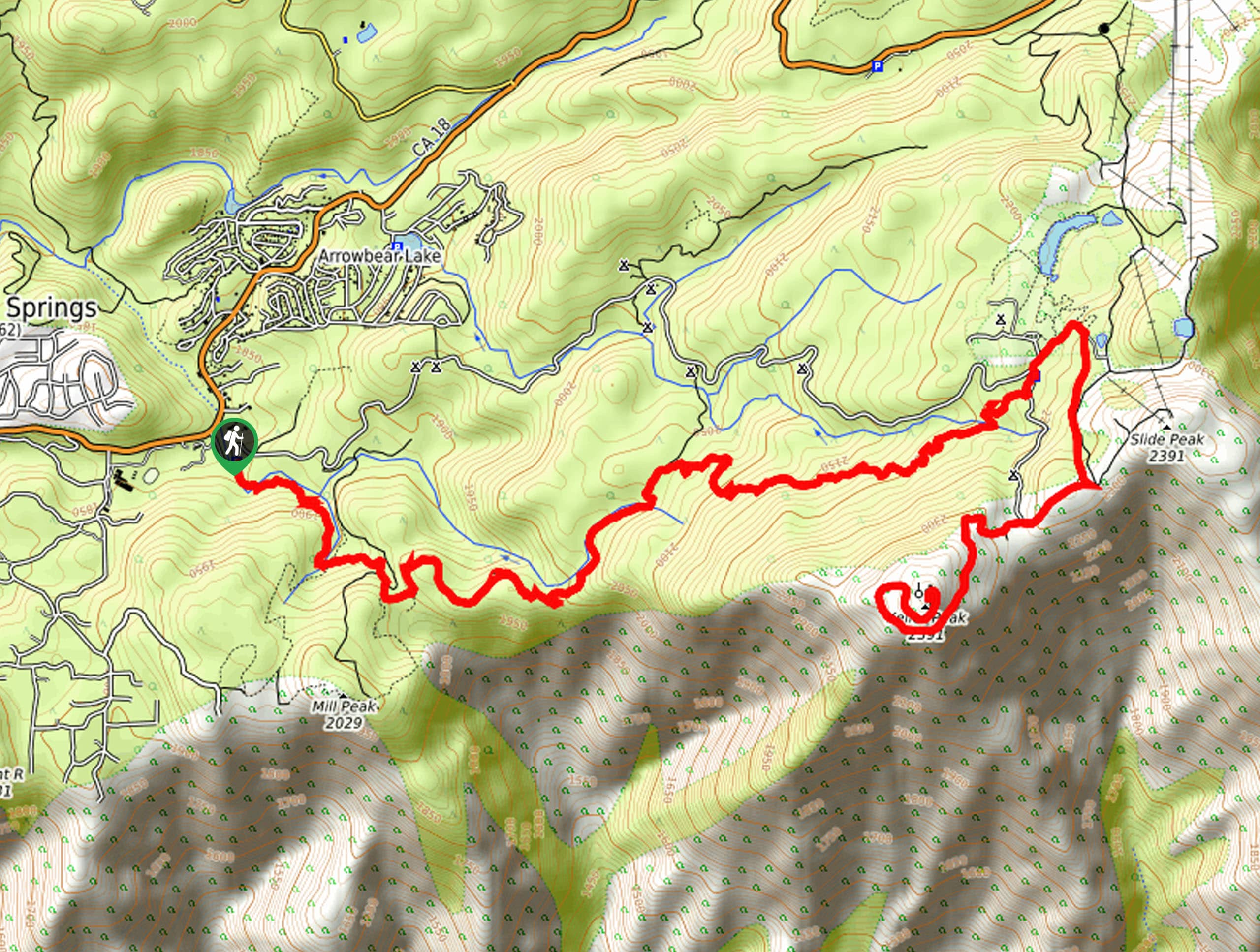
The trailhead for the Keller Peak Hike can be found along Keller Peak Road 1N96, just southeast of the Deer Lick Fire Station.

About
| Backcountry Campground | Yellow Post #9 |
| When to do | April-October |
| Pets allowed | Yes |
| Family friendly | No |
| Route Signage | Average |
| Crowd Levels | Moderate |
| Route Type | Out and back |
Keller Peak Hike
Elevation Graph
Weather
Keller Peak Hike Description
Featuring a good challenge, lengthy overall distance, and wonderfully scenic views of the surrounding mountains, the Keller Peak Hike is a fantastic option if you are in the San Bernardino area and want to set out on a full day adventure.
Setting out from the trailhead, you will make your way to the southeast and cross over Dry Creek, before climbing uphill through the atmospheric forest landscape. Here, you will follow along the Exploration Trail as it leads up to an elevated ridge.
After a short distance along the ridge, you will branch off to the northeast and continue along its wooded slope, where you will eventually cross over Keller Peak Road and enter into Children Forest. From here, the route will bend to the southwest and climb further uphill, where you will soon arrive at the scenic viewpoint atop Keller Peak. After revelling in the scenery, you will head back along the same trail to return to the trailhead where you began.
Similar hikes to the Keller Peak Hike hike

Bluff Mesa Hike
The Bluff Mesa Hike is a fantastic adventure in Southern California that features a lovely woodland setting and can be…

Palm View Peak Trail
The Palm View Peak Trail is a great hiking route in the San Bernardino National Forest that features a solid…

Cram Peak Ridge Trail
The Cram Peak Ridge Trail is a fantastic, albeit difficult, hiking route in the San Bernardino National Forest that will…
Comments